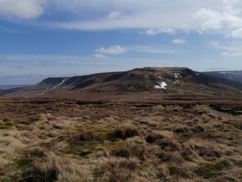
First real outing of the year. Only 9km but plenty to start with. Really glad I actually dragged myself out. Fine day all day. Drove to A57 and parked up. The Pennine Way is paved most of the way. Across to Mill Hill and then the main ascent of the day, short but steep, across old snow. Round to Kinder Downfall where I lunched in a cold wind. Got all my timings right, didn’t really use much nav skills as route was very obvious. Kinder Downfall (this makes me have garbled thoughts of German – Kinder, and then Downfall – Hitler film) was good because of the height but a bit disappointing in terms of flow.
On the way back, there was a large group of people at a junction and so I very confidently whizzed off to the right and then had to retrace my steps as it was the second right I needed. This is what comes of navigating once the map has been stowed away.
Got a bit bored tramping across the paving stones on the way back and although knees behaved themselves very well, when I got out of car at home, my heel was doing plantar fasciitis. 
[googlemaps https://maps.google.com/maps?f=q&source=s_q&hl=en&geocode=&q=Kinder+Scout,+Hayfield,+High+Peak+District,+United+Kingdom&aq=0&oq=kinder+&sll=53.102625,-3.61757&sspn=0.016232,0.052314&ie=UTF8&hq=&hnear=Kinder+Scout&t=m&ll=53.384557,-1.874199&spn=0.030716,0.051498&z=13&iwloc=A&output=embed&w=300&h=300]
Please visit Map and Compass and learn how to interpret a map with me and my navigation partner, Cath.


