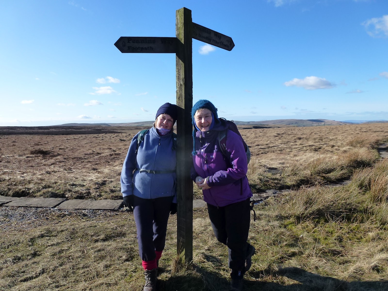
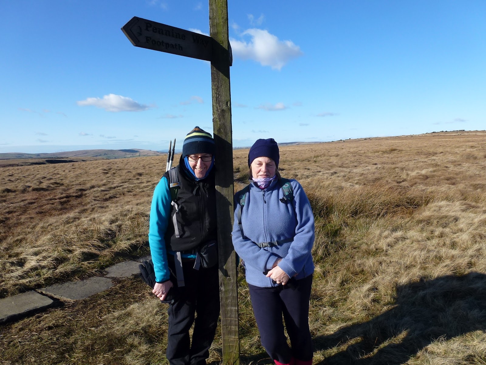
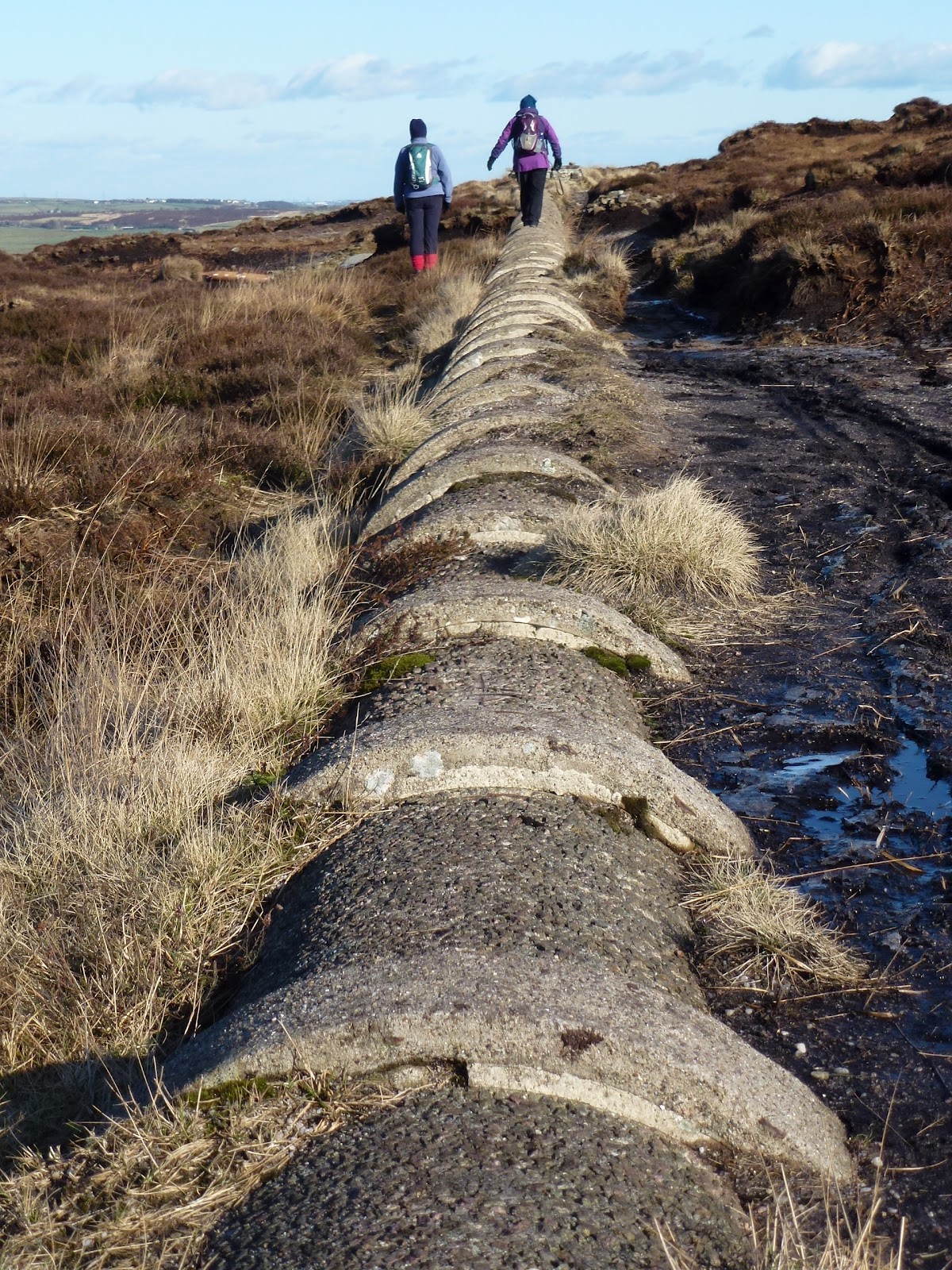
Babs and I met up before 11.00 on the A6033, the road from Pecket Well to Oxenhope. It was dull and grey and pretty cold so we got moving. Climbed up quickly going along Limers’ Gate which flattens out on the top of the moor to a trig point. From there to a single standing stone which then takes you to a drain. We followed the drain until we got hungry just near Bare Clough. Then we lunched, Babs on tuna and beetroot sandwich and me on a pork pie. I had hot chocolate made with water not with milk for a change and very welcome it was.
We kept on with Catchwater Drain across Midgeley Moor until we reached Warley Moor Reservoir. This reservoir is quite bleak with the wind farm as a backdrop. From here we couldn’t see the path we should take so instead went along the side of the reservoir and took a path from the southern end. This worked fine, it was a nice broad path dropping down gently to Upper Dean Head Reservoir which appeared to be tree lined, it wasn’t until we got nearer that we saw it’s actually rhodendendron lined, all along the western edge. We carried on past Lower Dean Head Reservoir and crossed at the bottom end. Both the reservoirs are very pretty in a lovely sheltered situation with lots of greenery and trees.
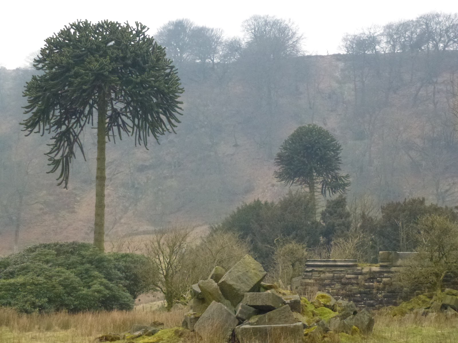
From here we took what looked like an old Victorian estate path, passing several monkey puzzle tree and endless rhodedendrons which are strangling the old trees as they’ve been allowed to grow without being managed. Before long we came to some big stones on the side of the path which looked to have come from a prominent building as they were all carved stone. Turning round we saw the remains of a Victorian castle complete with portcullis. We explored all round this place wondering what it was as only marked as 2 unnamed buildings on the map. Even a coat of arms on one big stone with the words “Bonum Dei” visible. Babs eventually established it was Castle Carr from searching the web. I’ve since looked further into it and there is a gatehouse which is still inhabited, so that’s a plan for another trip. It appears we were walking on private land and they only open up on one day a year, however that wasn’t clear from the path we took, which only mentioned that we were leaving access land and a footpath is clearly marked on the map.
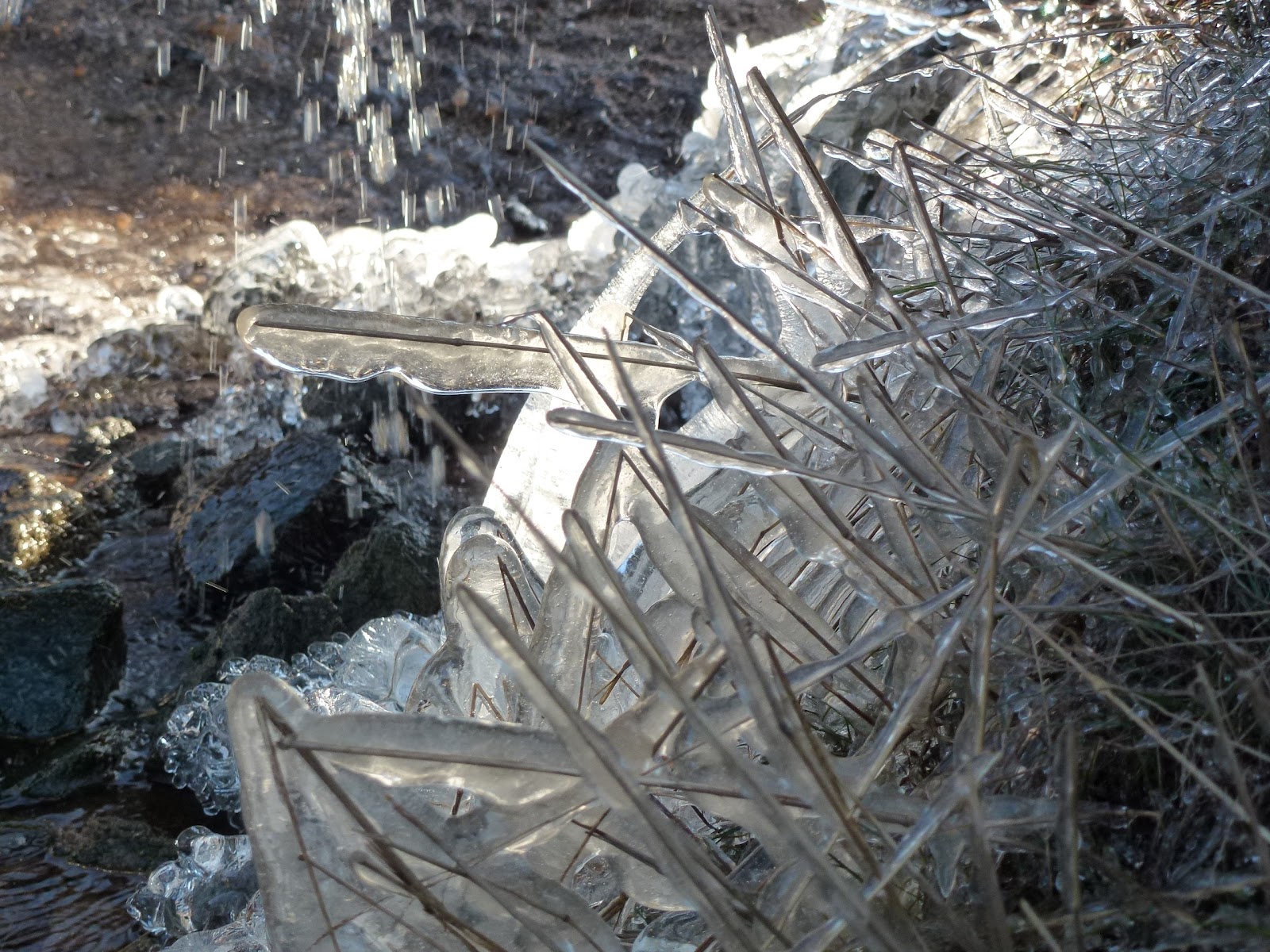
We then did a bit of a slog up the hill to get back, meeting some fell runners on the way who were doing a 27 mile run with just 3 to go. Some of the moor was on fire again. It was also very dreary and dull. We were both getting tired and although I knew mostly where we were, we did use Babs’ gadget to get a fix on our path.
A very interesting and stimulating day and made me want to do some more in that area.
 |
| Solitary stone |
 |
| Table stone |
 |
| Upper Dean Head Reservoir |
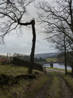 |
| Bendy tree |
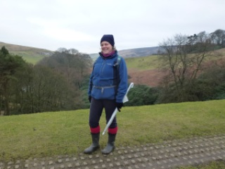 |
| Babs smiliing not grimacing! |
 |
| Aiming for better posture |
 |
| Gaol birds this way |
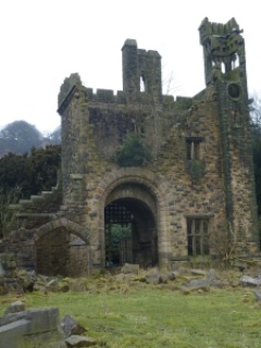 |
| Castle Carr |
 |
| More ruins |
 |
| Ye ancient coat of arms |
 |
| Castle Carr grounds |
 |
| Babs posing |
[googlemaps https://maps.google.com/maps?f=q&source=s_q&hl=en&geocode=&q=Warley+Moor+Reservoir,+United+Kingdom&aq=0&oq=warley+moor&sll=53.66266,-2.03702&sspn=0.072829,0.241356&t=p&ie=UTF8&hq=&hnear=Warley+Moor+Reservoir&ll=53.782702,-1.956081&spn=0.015214,0.025749&z=14&iwloc=A&output=embed&w=300&h=300]
Please visit Map and Compass and learn how to interpret a map with me and my navigation partner, Cath.