WGL training 17th Feb 2010

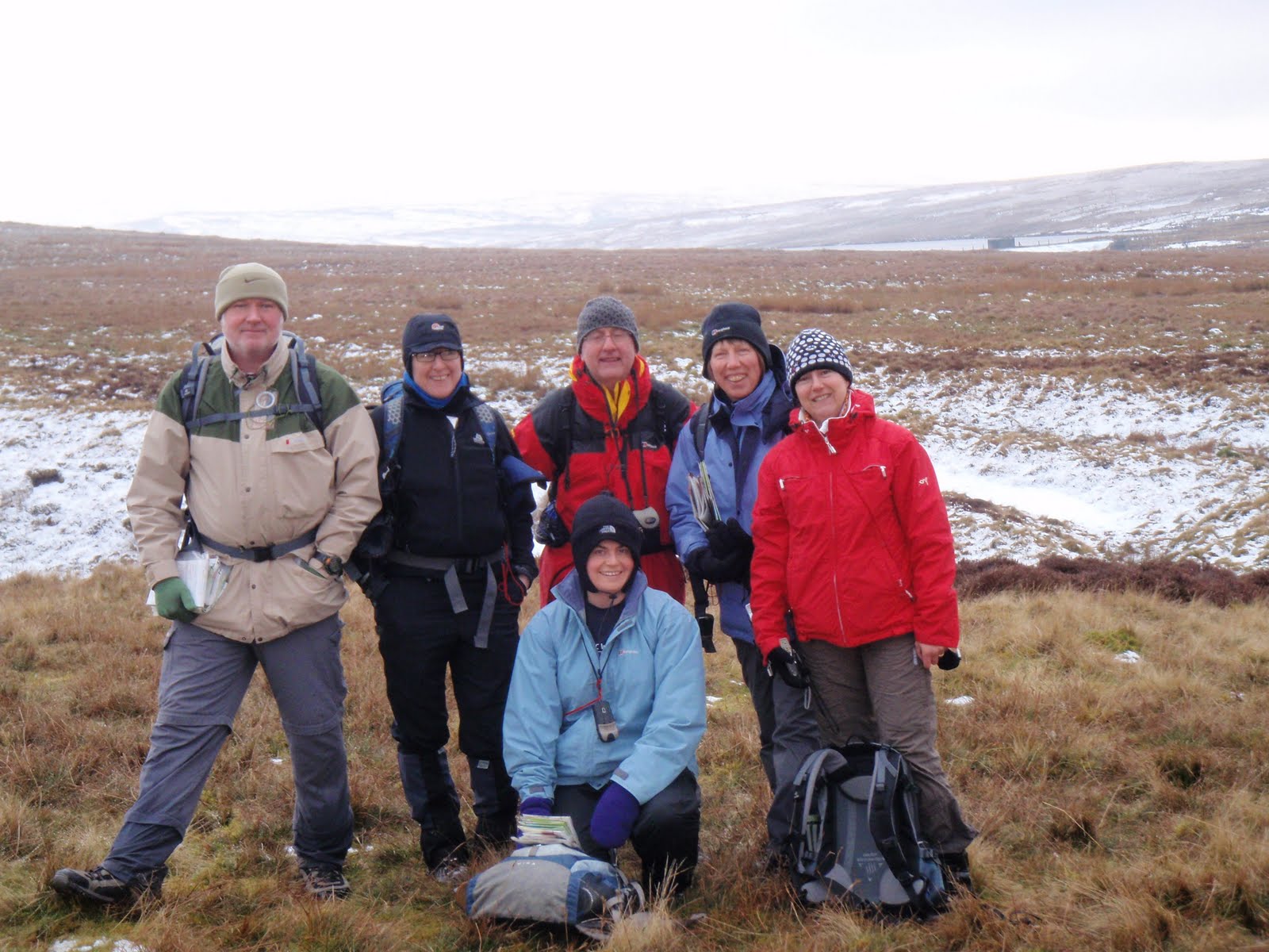
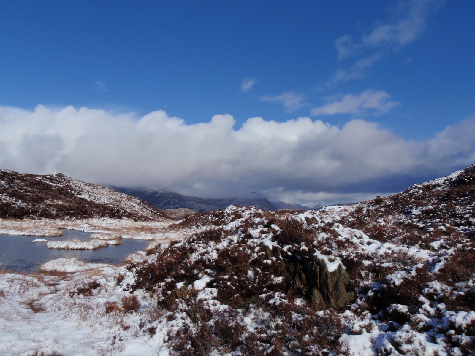
Last day. We do some more class work, then out in the minibus to a moor that is amazingly bleak next to a frozen reservoir. Bitterly cold. We charge off and work out how to correct an incorrect map i.e. showing a path that doesn’t exist. Practise with GPS, very useful and gives me confidence to get on with mine.
Lunch on a freezing tussock, then Steve clearly frozen, yomps us all off and demonstrates aspect of slope. Still not sure have quite got the hang of that one. We are all so cold it is surprising we are smiling in the photos.
Thaw out in the bus and back to PYB for more lectures, shower, then pack up and finish off with evaluation and feedback. My feedback is Good, Good and Do more camping!! What more?!
Good byes all round and then 3 hours and I am home. The snow is falling as I take my bags in the house.

[googlemaps https://maps.google.com/maps?f=q&source=s_q&hl=en&geocode=&q=Llyn+Aled,+Llansannan,+United+Kingdom&aq=0&oq=llyn+ale&sll=53.100002,-3.613129&sspn=0.129867,0.41851&ie=UTF8&hq=&hnear=Llyn+Aled&t=m&ll=53.102631,-3.617592&spn=0.015459,0.025749&z=14&iwloc=A&output=embed&w=300&h=300]

Please visit Map and Compass and learn how to interpret a map with me and my navigation partner, Cath.
WGL training 16th Feb 2010

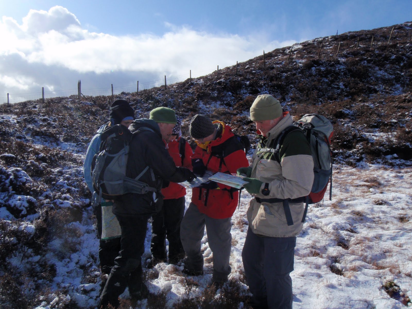
Tuesday, no more Dave. On to Steve. We do more classroom work and then out to take turns leading a leg. Davy races us up a hill and most of us are panting, he isn’t but then he is militarily fit. As I get my leg to nav to, 2 women of a certain persuasion appear and want directions. I am convinced they are Steve’s stooges so am on my best behaviour and show them where they are. Very good practice as we have just negotiated a tricky non path.
I tramp the group across the heather just for fun. We finish up having to do a steep descent.
Back to PYB for more lectures, tea, cakes, showers.
We get a special early dinner because we are going out night navigating. Steve drives us about 2 miles down the road. It is frosty. We tramp up a hill again going far too fast straight after eating 3 courses. Then we send 2 ahead to walk on a bearing and direct from behind.
Once we work out we haven’t walked for long enough to reach our river, we continue and then find it. Our next stop is a spot height which we find by aiming off. Am very impressed that the techniques work. We aim off to a wall and descend back to the bus. Hannah gets stuck in the freezing bog, but no problem as the drying rooms are very efficient.
We only did a couple of kilometres but it was great that the principles worked and we achieved our aims and found the places on the map, fab.

[googlemaps https://maps.google.com/maps?f=q&source=s_q&hl=en&geocode=&q=Llyn+Dinas,+Beddgelert,+United+Kingdom&aq=0&oq=llyn+&sll=53.02609,-4.05859&sspn=0.032522,0.104628&ie=UTF8&hq=&hnear=Llyn+Dinas&t=m&ll=53.016642,-4.066658&spn=0.01549,0.025749&z=14&iwloc=A&output=embed&w=300&h=300]

Please visit Map and Compass and learn how to interpret a map with me and my navigation partner, Cath.
WGL training 15th Feb 2010

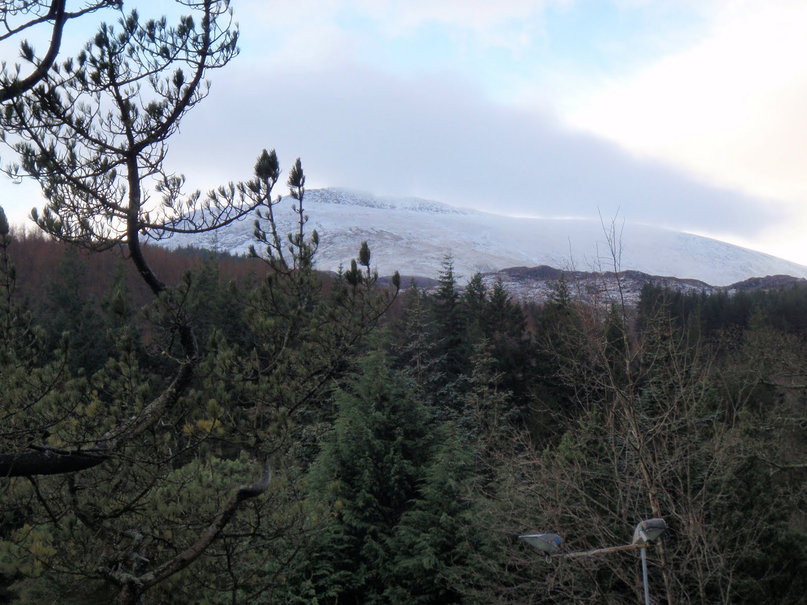
Arrived at Plas y Brenin on Sunday 14th, after a good journey taking just over 3 hours. I checked in, unpacked my bags in my twin room with just me in it. I have a brand new en suite and the rooms are warm and comfy. No TV which is great.
In the bar, I chat to a woman who is going to do kayaking and eat a burger and chips and salad, well I didn’t eat the chips, very nice home made burger.
Go to bed quite early after orienting myself around the rabbit warren on the place, it’s an old coaching inn for travellers from Dublin and has a staircase and selection of corridors at every turn. It’s been a mountain training centre for over 50 years.
In the morning, go to breakfast, eat various things on toast and fill a plastic bag with rolls for lunch, all labelled with day and contents and all very neatly filed, also fruit and a piece of home made cake.
The only criticism I have is that the coffee is pants, yes all the food is included which is great but they could do with a proper coffee machine.
Go to Introduction Lecture with the Director of the Centre and meet Lorraine who is in the WGL group. We all hive off with our trainers who are Dave and Steve. Follow them across the road to our training room in Berwen. Steve says he’ll see us next day and leaves us with Dave.
We are Lorraine, nurse from Cardiff; Cath, a DoE scheme leader from school in Surrey; Hannah, the same; Peter, retired construction firm owner from Brecon; Davy, who old deaf ears here thinks is called Steve, about to leave military intelligence after endless years; and me.
Dave the trainer does some talking and then we’re off in the minibus for about half an hour up to the north wales coast but inland a bit to spend the day practising our nav.
Cold and wet all day, we get to use the group shelter to eat our lunches, bit squashed but keeps the wind off well.
Then back to PYB for a shower, a bit more lecture, then tea and cake, then more lecture, then dinner of roast beef – very nice. Then more lecture. Working us hard.
A swift drink in the bar then bed.

[googlemaps https://maps.google.com/maps?f=q&source=s_q&hl=en&geocode=&q=Penmaenmawr,+United+Kingdom&aq=0&oq=penmaen&sll=53.289847,-3.985291&sspn=0.517174,1.674042&ie=UTF8&hq=&hnear=Penmaenmawr,+Conwy,+United+Kingdom&t=m&ll=53.266599,-3.92066&spn=0.0154,0.025749&z=14&iwloc=A&output=embed&w=300&h=300]

Please visit Map and Compass and learn how to interpret a map with me and my navigation partner, Cath.
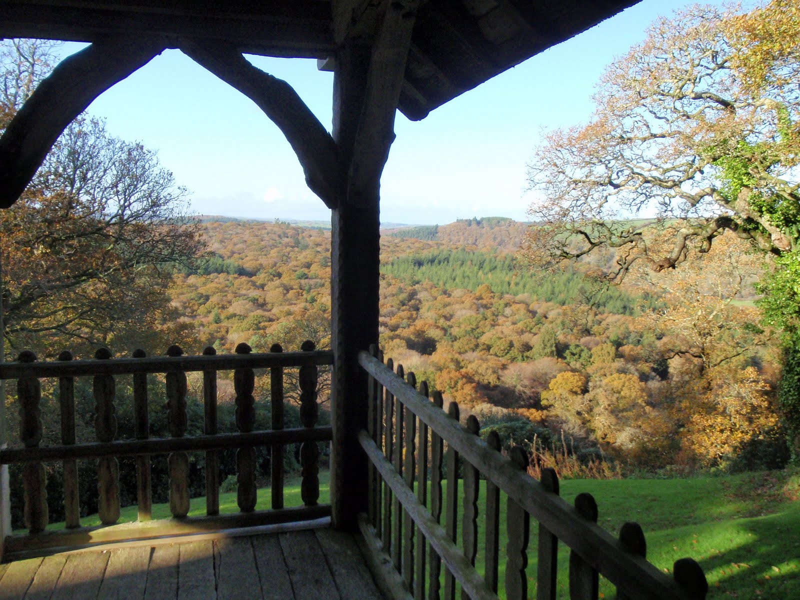
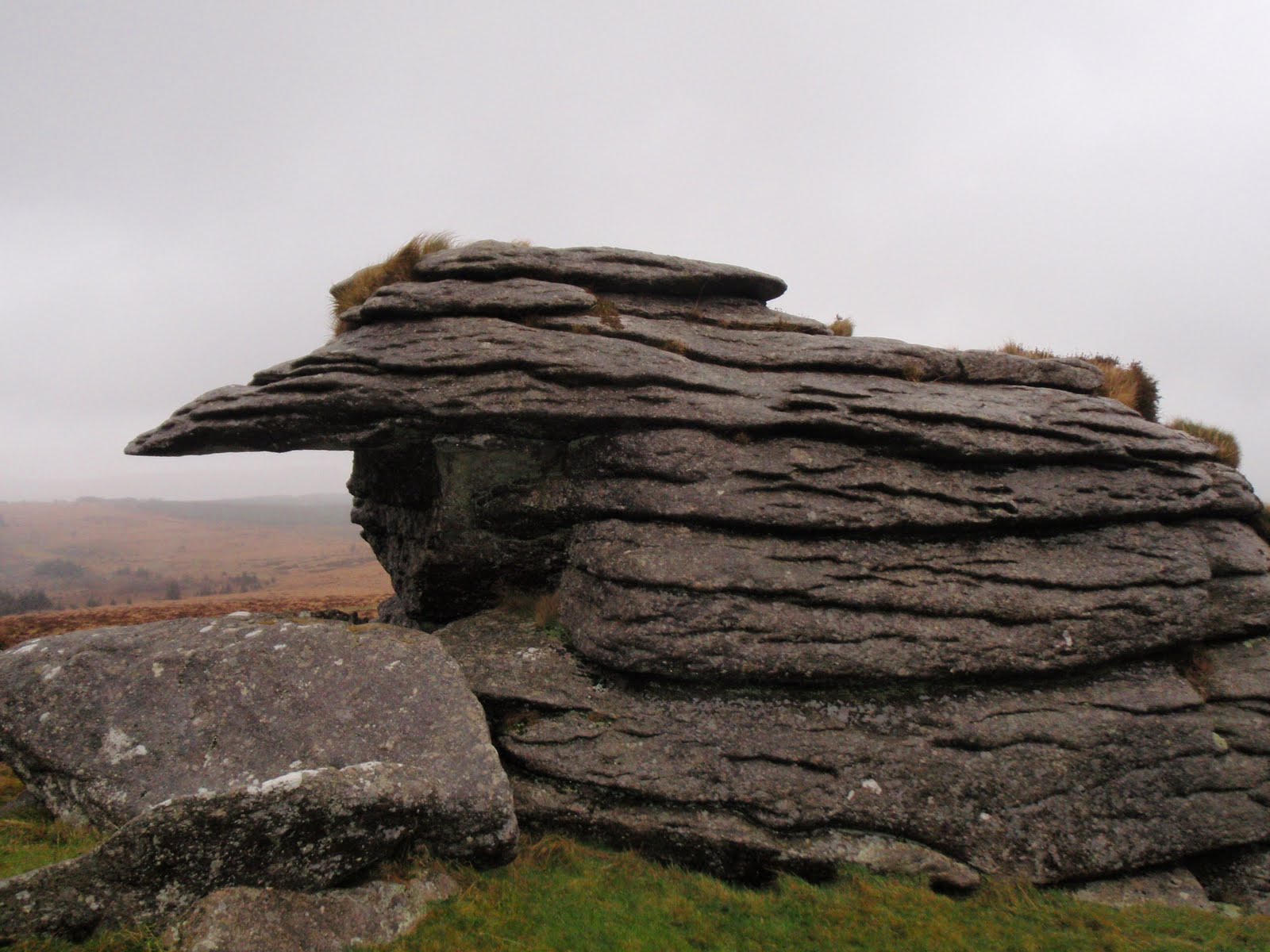
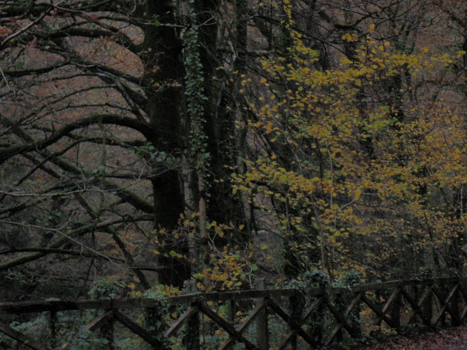
Devon November 2009

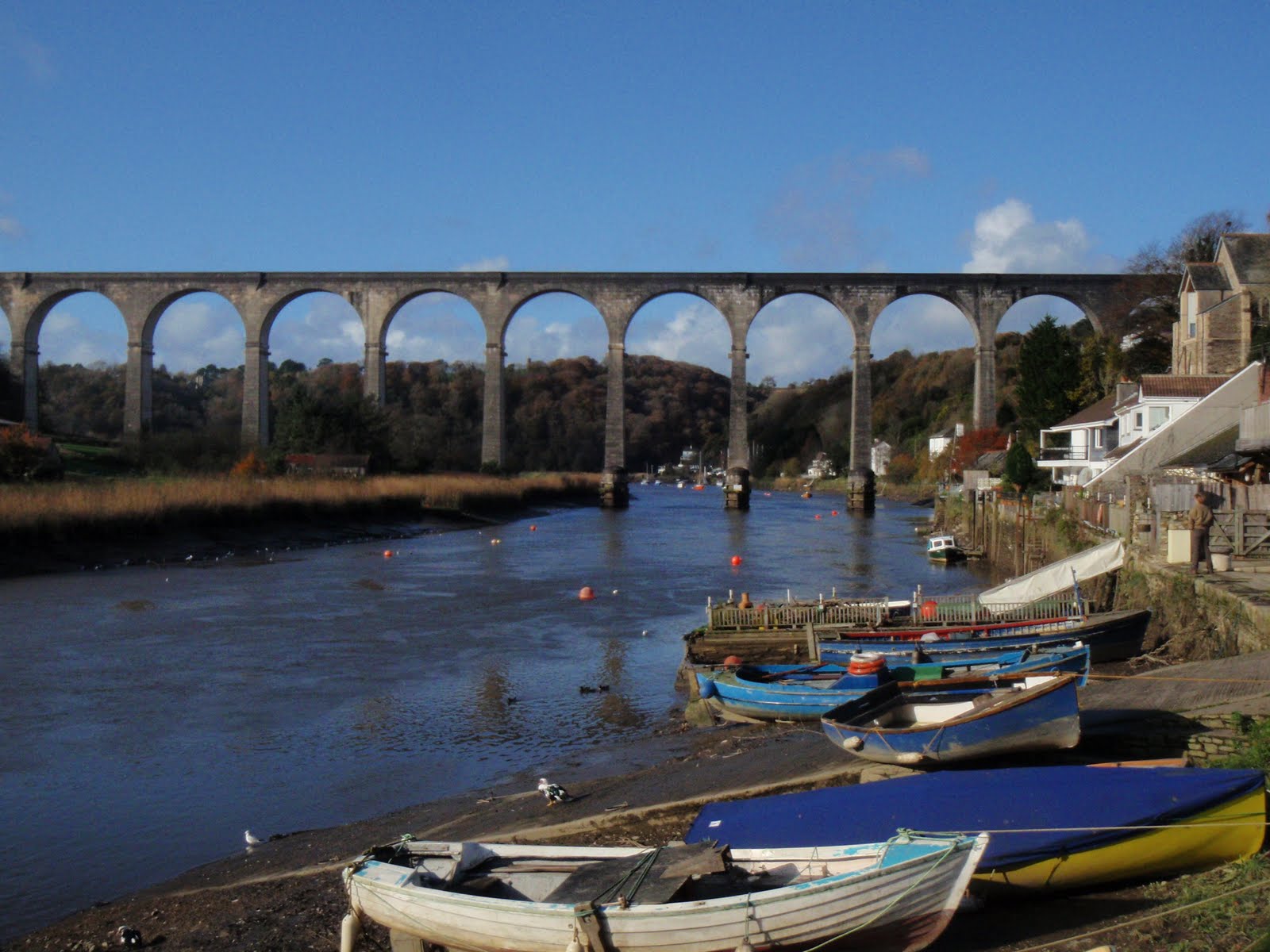
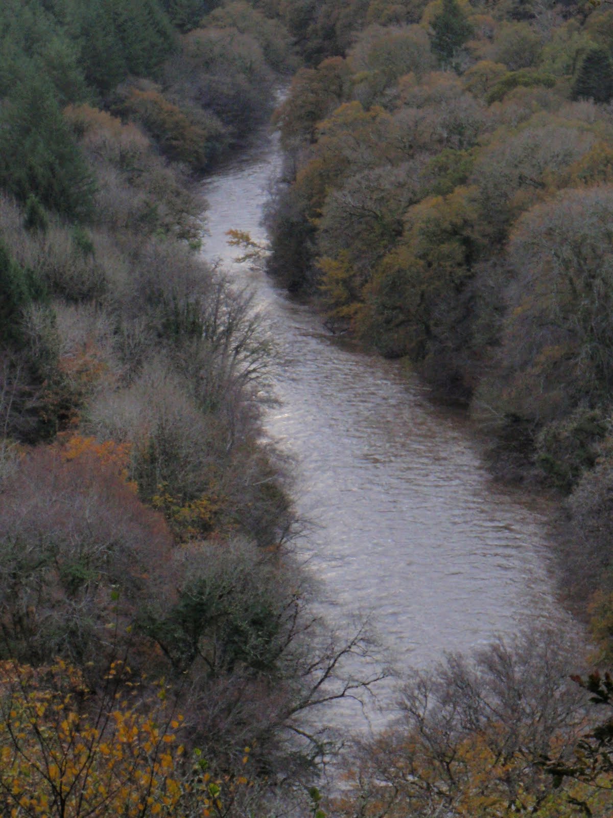
River Tamar
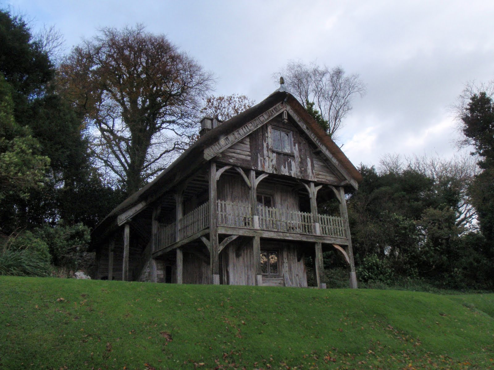
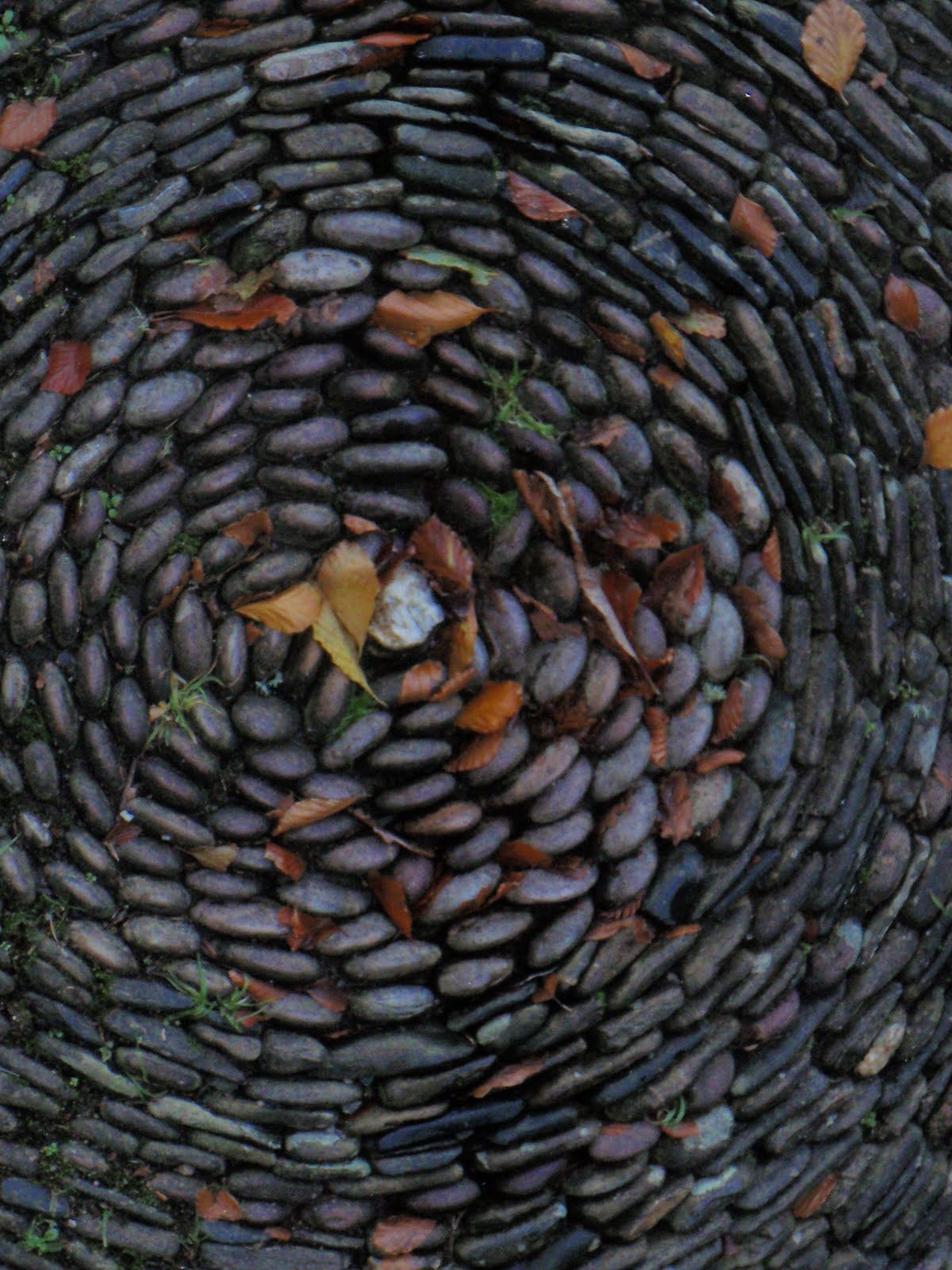
Swiss Cottage

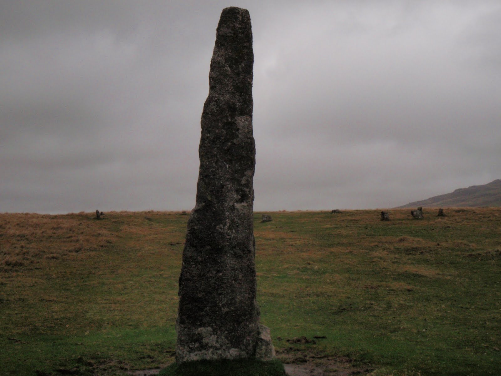
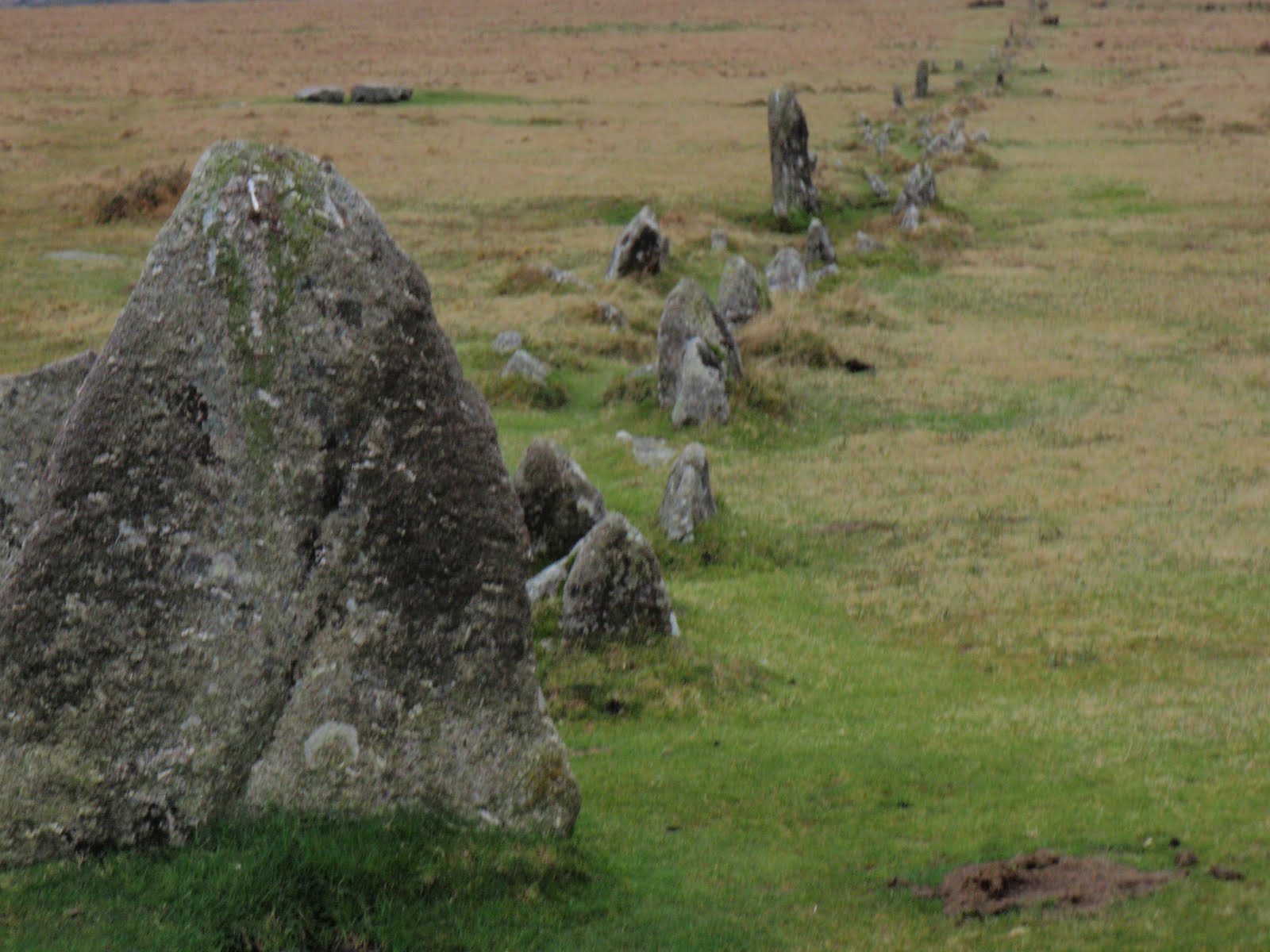
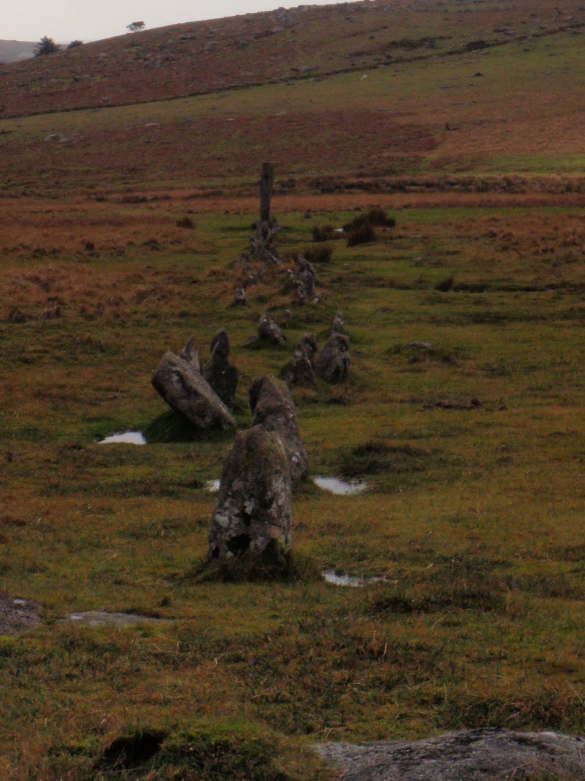
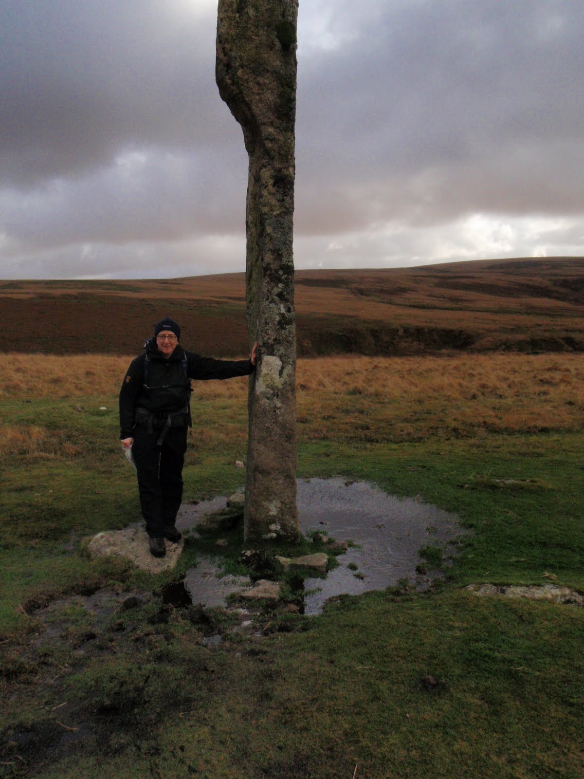
Drizzlecombe


[googlemaps https://maps.google.com/maps?f=q&source=s_q&hl=en&geocode=&q=Sydenham+Damerel,+United+Kingdom&aq=&sll=50.412182,-4.129726&sspn=0.551343,1.674042&ie=UTF8&hq=&hnear=Sydenham+Damerel,+Devon,+United+Kingdom&t=m&ll=50.563177,-4.248619&spn=0.032713,0.051498&z=13&iwloc=A&output=embed&w=300&h=300]

Please visit Map and Compass and learn how to interpret a map with me and my navigation partner, Cath.
Helvellyn 060909

Wythburn church


Left nice and early so managed to get to Wythburn car park at 10.00. The car park would have cost me £5 but the ticket machine was “Not in use”. Great.

A group of Polish (I think) people were smoking in the car park and set off before me. A short time later I overtook them, to say they were inappropriately dressed just doesn’t cover it, ready to go clubbing more like it!
Lovely walk through pine woods, rising steeply onto the fell with a few craggy bits and water chasing down. I’m starting to see what Wainwright means, it’s more interesting in terms of variety of landscape.
Fairly got up quickly. Had a chat with a bloke on the way and even patted his dog. Turned right at the junction and whizzed up to Nethermost Pike. Windy and some hard drizzle on the tops. Short whizz up to Helvellyn having looked across at large quantities of mad people doing Striding Edge despite the great wind and cold. I was told it was only 5 degrees on the top, but in my new Paramo I didn’t feel cold at all.
There was a tent on the summit which may have been connected with a triathlon (swim, “run” [not when I saw them!], bike). Also saw another tent down by the tarn and another one on my way down.N
Quick look round the top, had my sandwich in the rather grim shelter, sharing it with a couple and 2 small dogs with coats on. Wretched dogs far too close to my sandwich for comfort so had to eat it fast. I did feel cold in the windiest section of the shelter so didn’t hang about. Then more whizzing back down. A little rain on the way down but got down very quickly.
I never saw the Poles again so think they must have given up quite early on.
Great to have a walk with actual views for a change and not loads of rain.

[googlemaps https://maps.google.com/maps?f=q&source=s_q&hl=en&geocode=&q=helvellyn&aq=&sll=54.541601,-2.988281&sspn=0.125474,0.41851&ie=UTF8&hq=&hnear=Helvellyn&t=m&ll=54.527059,-3.017635&spn=0.029885,0.051498&z=13&iwloc=A&output=embed&w=300&h=300]

Please visit Map and Compass and learn how to interpret a map with me and my navigation partner, Cath.
css.php