Contours only navigation, Snowdonia July 2nd 2016

Friday
I drove straight from work to Garth Farm campsite near Capel Curig. Used Google sat nav on cousin S’s recommendation to get me to Garth Farm campsite just beyond Plas y Brenin at Capel Curig. Very good journey and whilst I was initially a bit surprised at 2 diversions I could see from the long queues I zipped past that it was in fact great! The journey was slow because of Friday rush hour but I still arrived at the time Google had said when I set off. Will continue to test out. The sign to the farm and the camping had nearly fallen off and I was a bit dubious but decided to bite the bullet and parked up with a couple of other cars. I selected a slightly sheltered dip in the field which was pretty much flat at the bottom.
Got my tent up quickly in a wild wind with some very dark clouds looming over the top of Snowdon and threatening to drop down. Promptly fell over the guy rope and broke the tent pole! Luckily it was still able to hold the tent up.
I went up to the farmhouse and gave Mr Jones my £5. He was busy watching Wales playing football so we didn’t chat. £5 was fine but if you are going there be warned that the bins need emptying and the loos and washbasins were not clean.
Cooked up my dinner of lime and coriander rice in the Jetboil and Sainsburys tinned veg curry on the MSR pocket rocket. The curry was surprisingly nice. Hot and tasty with a ring pull to open. Sainsbury are no longer doing Look what I found pouches. They were good because in a pouch, quick and hot.
I forgot a lot of things including a woolly hat, whisky, the porch mat (I looked at it last night and wondered very vaguely what it was, bugger) and the coffee and kit. More bugger but ok as will be going to Caffi Siabod first thing. Slept quite well through the lashings of rain and wind all night. And the tent held up more to the point and not a drop of rain got in. I love British summers!
Saturday
Up early to strike camp. Breakfast of fruit and yoghurt in the car. I’d also forgotten to bring any coffee so was keen to get to the cafe to remedy this. To Caffi Siabod for all their clean facilities. Paul turned up and we were a group of 6, 4 female and 2 male which is the first time that’s been the case on any of the mountain courses I’ve done.
Off to spend the day working the area around the back of the cafe (Clogwyns) which has lots of lumps and bumps, some of which are in between the 10m contours. We used 1:25K maps with only contours on them and heights. Although most of us had altimeters, we didn’t actually use them. The point of the course was to use the features in the landscape.
It was a great day and made me feel confident with my skills. I will look to see where we might be able to do this in our local area.
IMG_1018
Overlooking Llynnau Mymbyr
IMG_1024
Llynnau Mymbyr and sheep
IMG_1028
Blasted heather I can’t remember which one
IMG_1035
Llyn Crafnant
IMG_1036
Tryfan
Please visit Map and Compass and learn how to interpret a map and use a compass with me and my navigation partner, Cath.

MAPandCOMPASS

Save

Walking Group Leader Assessment

Sunday 2nd October
I got to Betws-y-Coed in under 3 hours having stopped for pasta salad lunch at services. I parked up and Kate arrived about 5 mins later her journey having taken as long for a much shorter distance. We exchanged a toasted sandwich maker and a chocolate bar and set off for a bit of shopping. I got a Mountain Leader First Aid kit and a half price shirt in Cotswold Outdoors only it wasn’t discounted at the till.
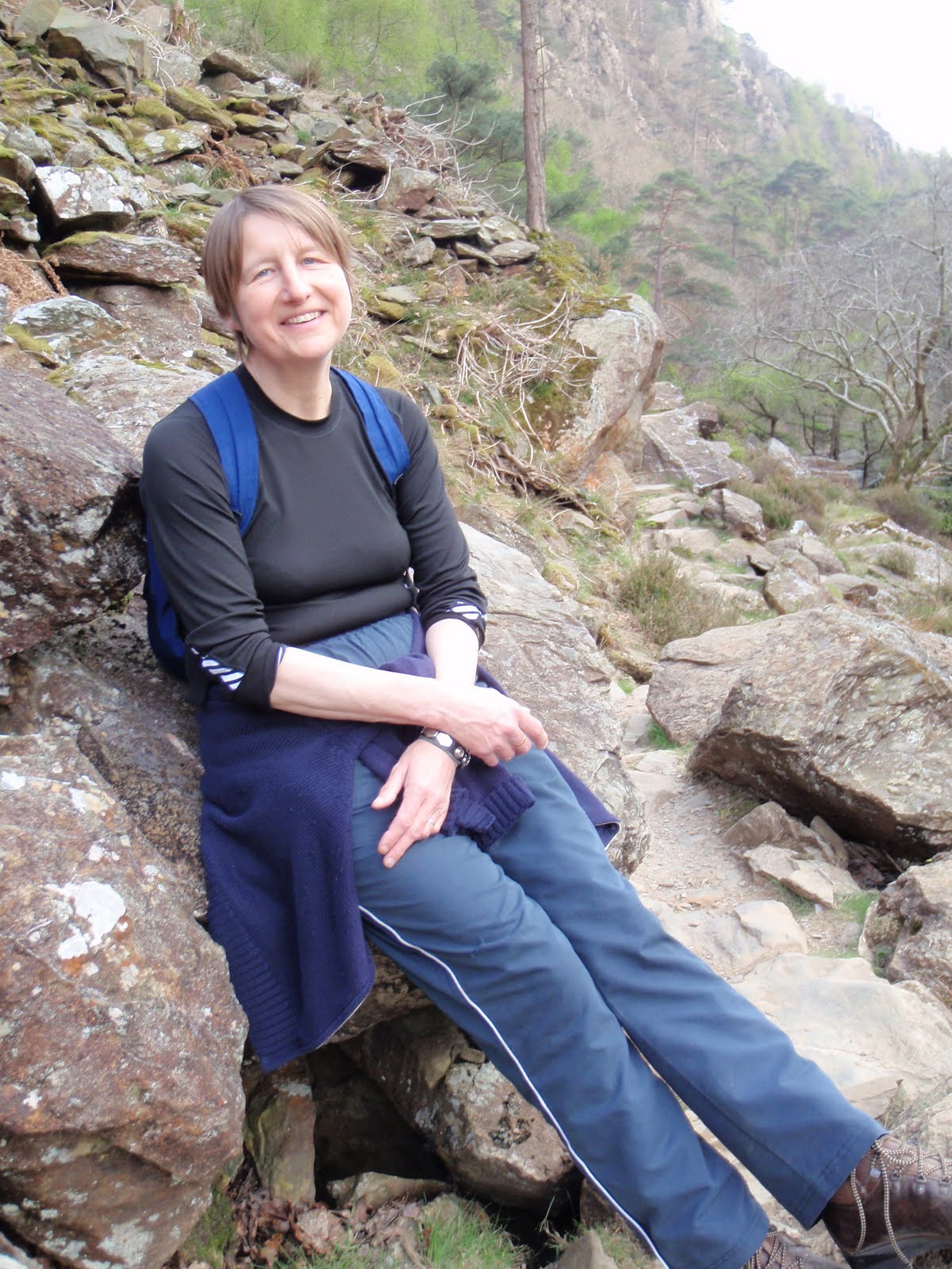
We went to one of the 2 street facing hotels and Kate had a panini with goats cheese and red onion, I think that’s right and I had some bara brith. All fine.
Really we just chatted and caught up with each other and generally had a nice time. Lovely.
Kate then whizzed off, I got my money back and headed on to Capel Curig.
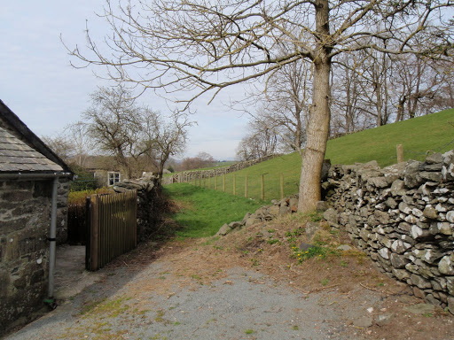
Because of courses lasting all day, rooms at Plas y Brenin are not available until 8pm so I waited in the bar swotting up on mountain leadership and ordered an omelette.
I didn’t have to share my room which was good as the assessment itself is stressful enough without any added extras like having to wear clothes in bed or talk to someone when you just want to concentrate.
The room was very warm so I stood on a chair, climbed onto the 2 foot thick window sill and opened the window wide. I’m overlooking the air and heat system this time!
I did some more swotting and so on.
Monday 3rd October
Up at 7 and ready for breakfast at 8. First you grab a plastic bag and select biscuits, fruit, cake and filled roll all neatly labelled and laid out. The sandwiches have been bought in and doesn’t look as nice as the ones they used to make.
Breakfast of muesli and fruit. Then toast and a poached egg.
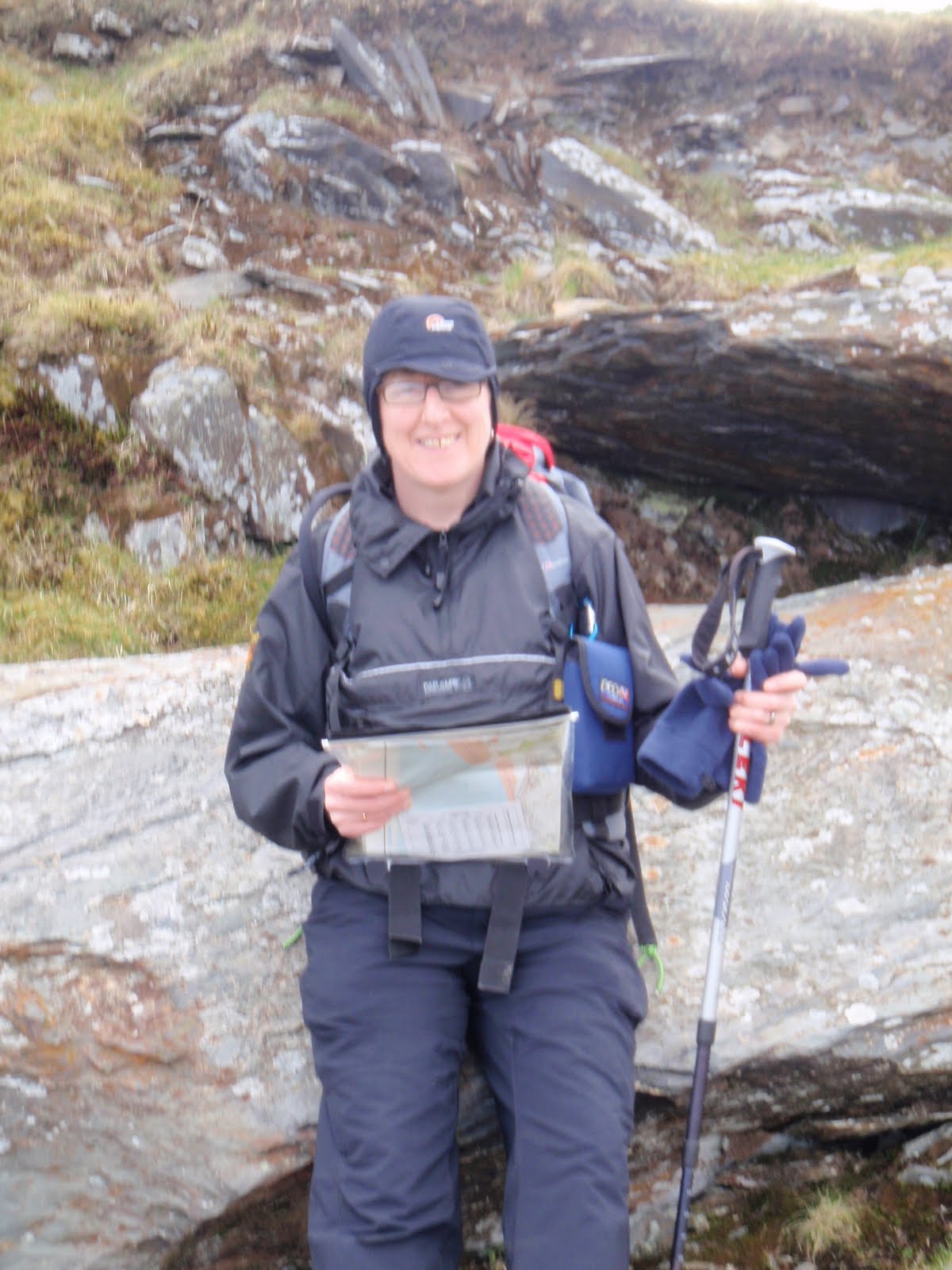
Pack my leader rucksack and attend the welcome to PYB lecture. There are 3 of us on the course, Ricky from near Dartford and C a walk leader, we follow our course leader who is Helen. We go to the Cromlech room for intros, also to John who is assessing us for this first day. The 4th person Tim never shows up. We hand in our log books and home papers.
Fine and dry all day.
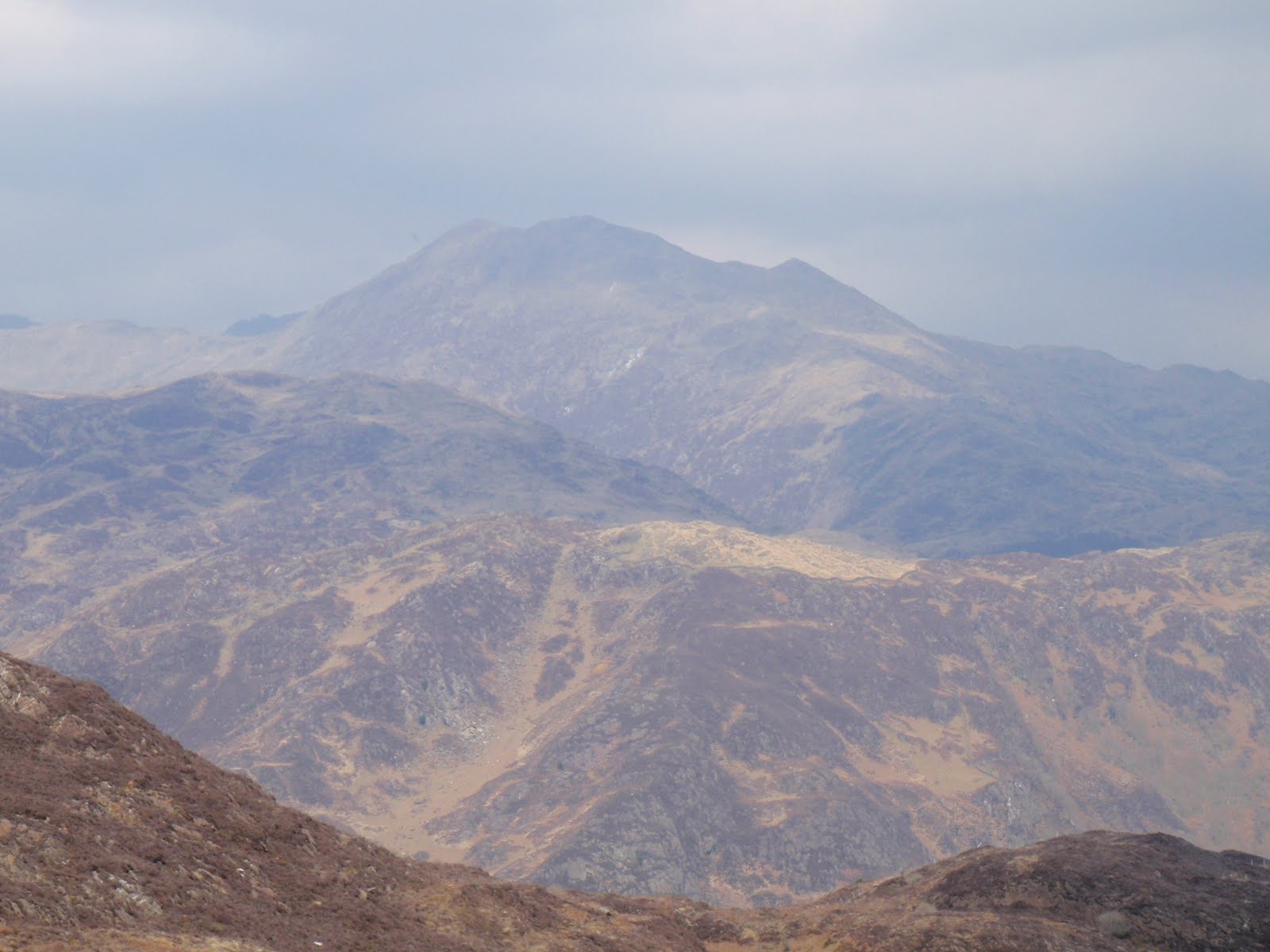
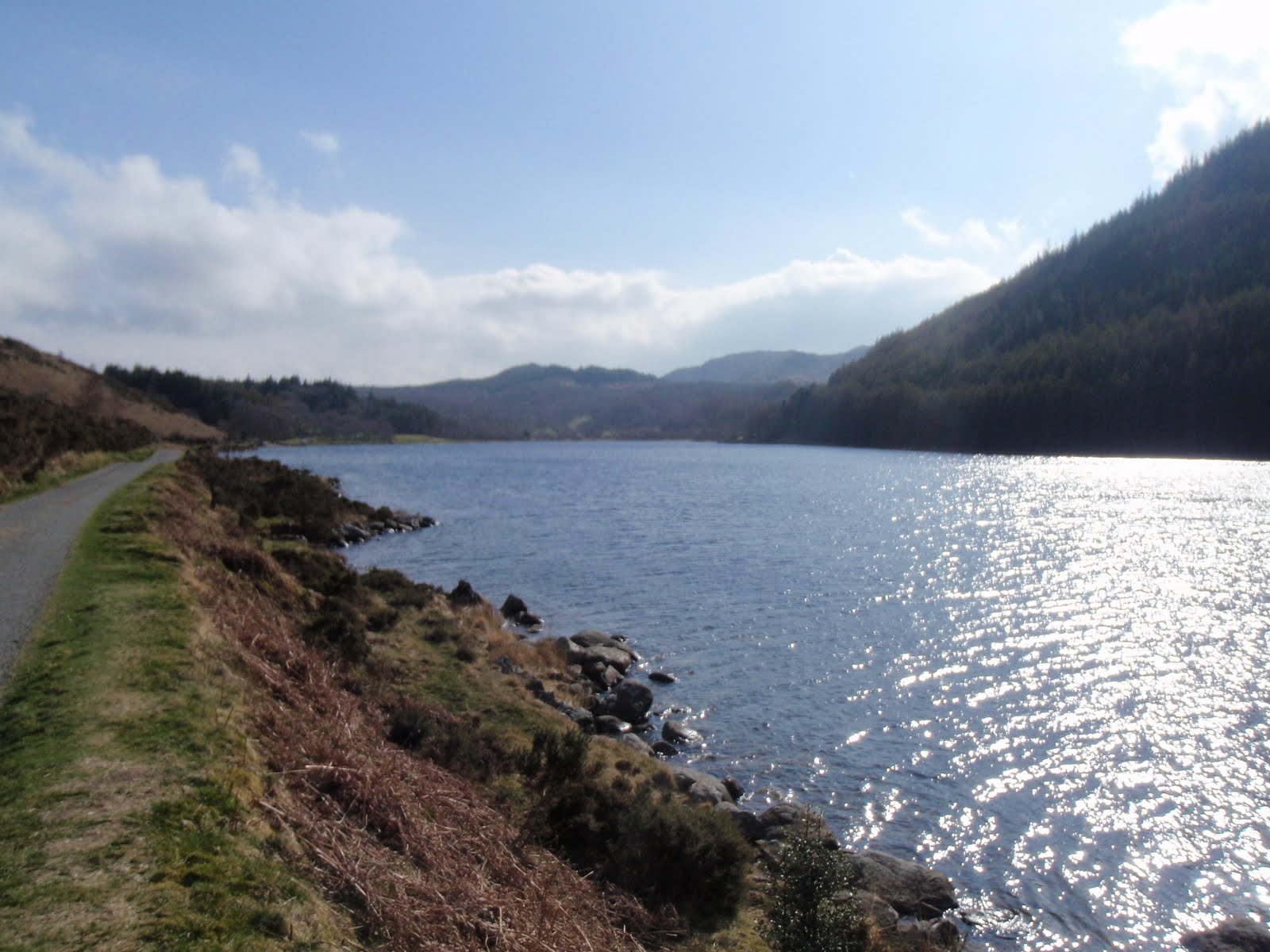
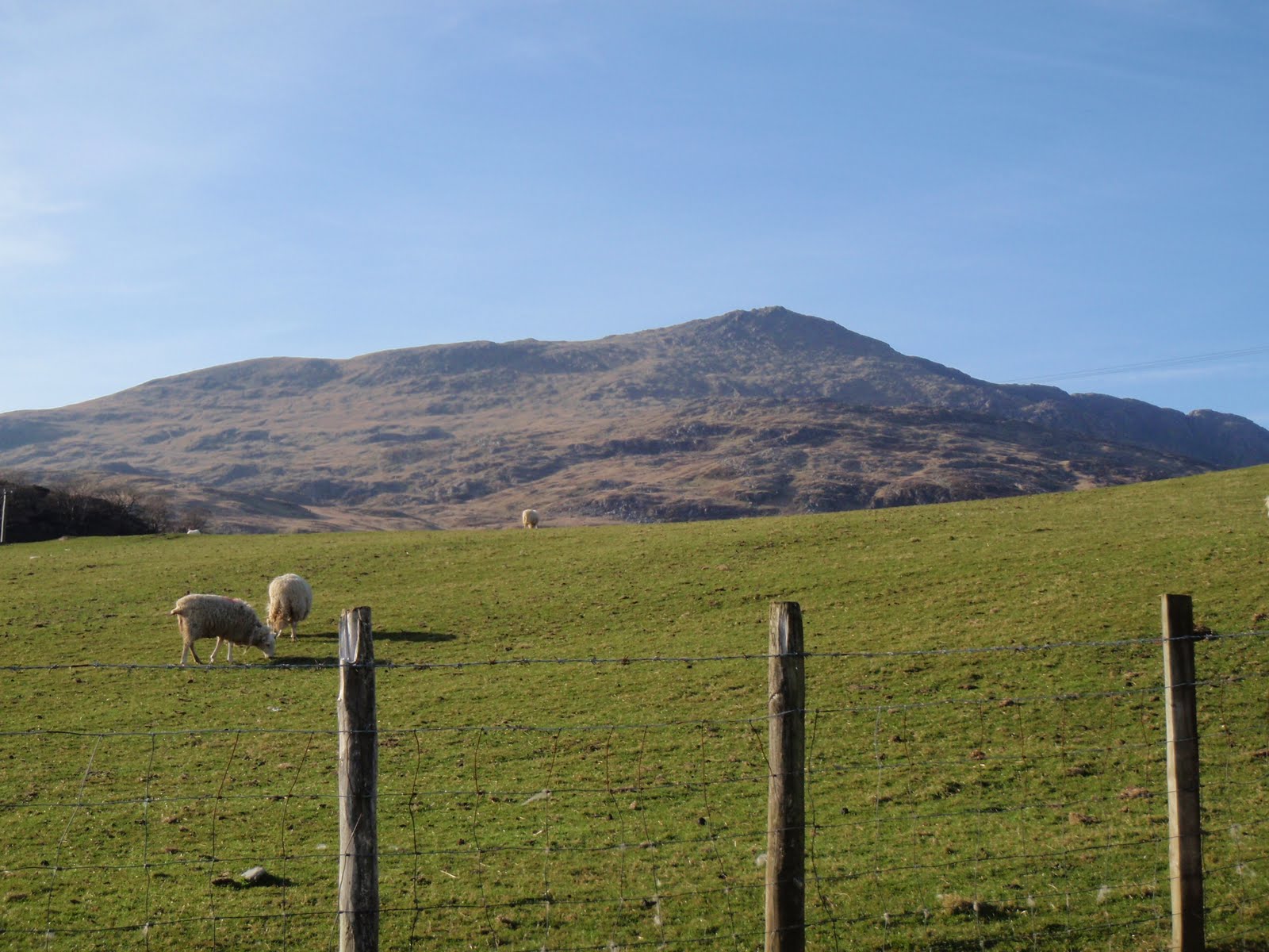
Off to Penmaenmawr and park on Mountain Road which straightaway makes me feel comfortable as I did some of my training there. Then it’s nav nav nav all day taking legs in turn. I am ok. Each leg we lead or follow we just get ok i.e. no clue as to whether we are right or wrong. This takes a bit of getting used to but for me starts to work to make me get it right.
John gives us individual feedback by the van. My nav is good but my flora is less so, which has been obvious to me. I’m not quick to identify plants and need to know more than just names. But my laminated cards are good.
John drives us back for freshly made cake and tea. I’m now on lemon and ginger.
I get my bag ready for the night nav, read a bit more. Then dinner of melon followed by veg pancakes and nice sauce with loads of veg all v fresh and lots of it. I don’t eat too much as we are about to be exercising once more.
We gather at 8pm and John drives us for all of 2 mins so still in Capel Curig. It is a hard 3 hours we spend locating features but at the end John’s feedback to me is that my nav is nearly Mountain Leader standard. ML is next in the hierarchy of awards from the Mountain Leader awarding body. It’s hard work but some laughs too when I slide down slowly just missing the stream.

The bar is shut when we get back after 11 pm so we have a hot drink together. I shut the window up a bit in my room as it’s got colder.

[googlemaps https://maps.google.com/maps?f=q&source=s_q&hl=en&geocode=&q=Penmaenmawr,+UK&aq=0&oq=penma&sll=54.348503,-2.465658&sspn=0.035069,0.104628&t=p&ie=UTF8&hq=&hnear=Penmaenmawr,+Conwy,+United+Kingdom&ll=53.266599,-3.92066&spn=0.0154,0.025749&z=14&iwloc=A&output=embed&w=300&h=300]

Tuesday 4th October
This day we get Helen. She is very nice and reminds me a bit of mountain friend Ann. I eat a bigger breakfast of muesli and then egg, beans on toast and hash brown. Hungry after night work!
Helen goes through our leader rucksacks questioning gently. She has a pleasant but thorough manner and is a sucker for gear which amuses me, she is very interested in my folding walking poles.
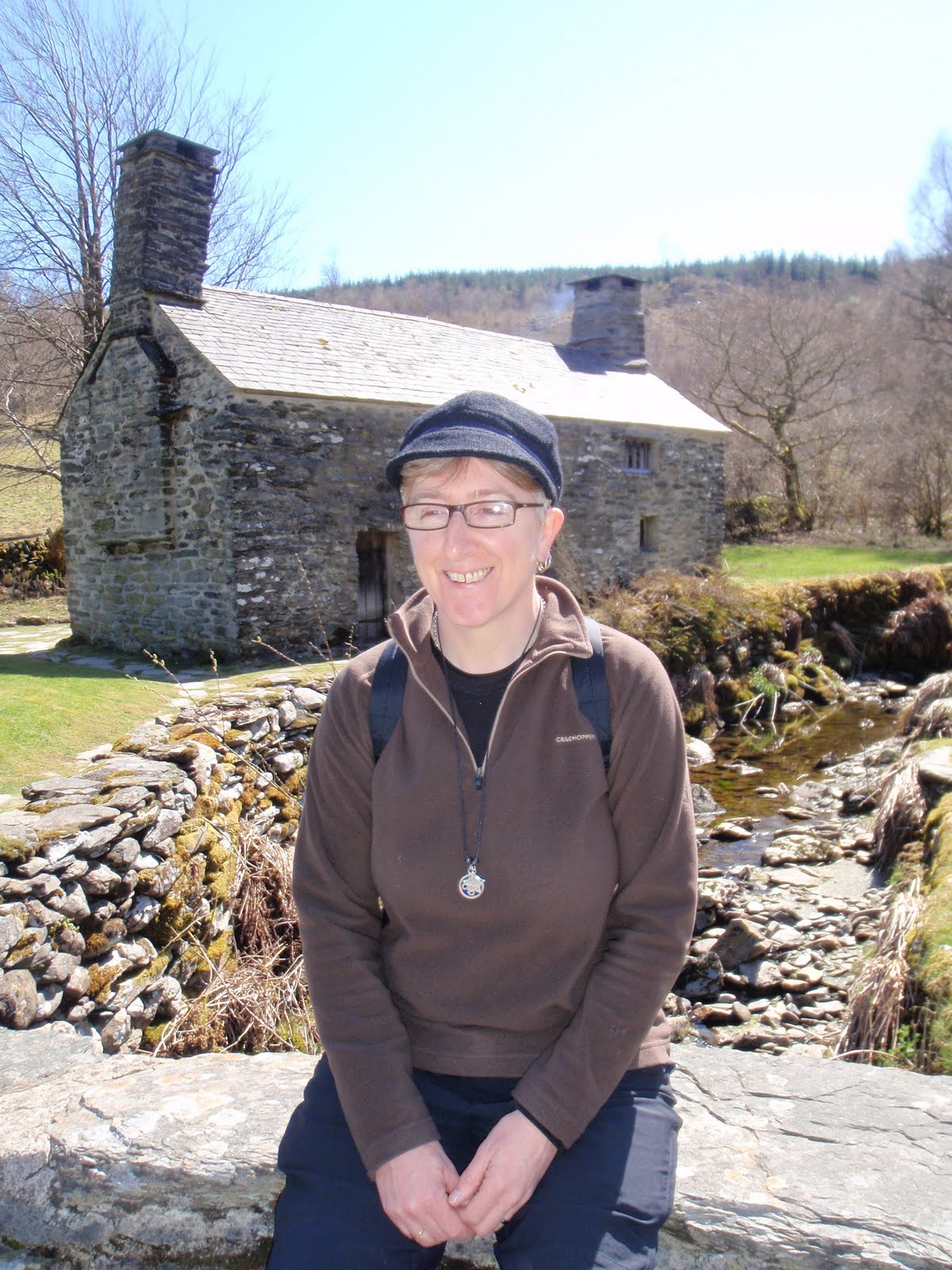
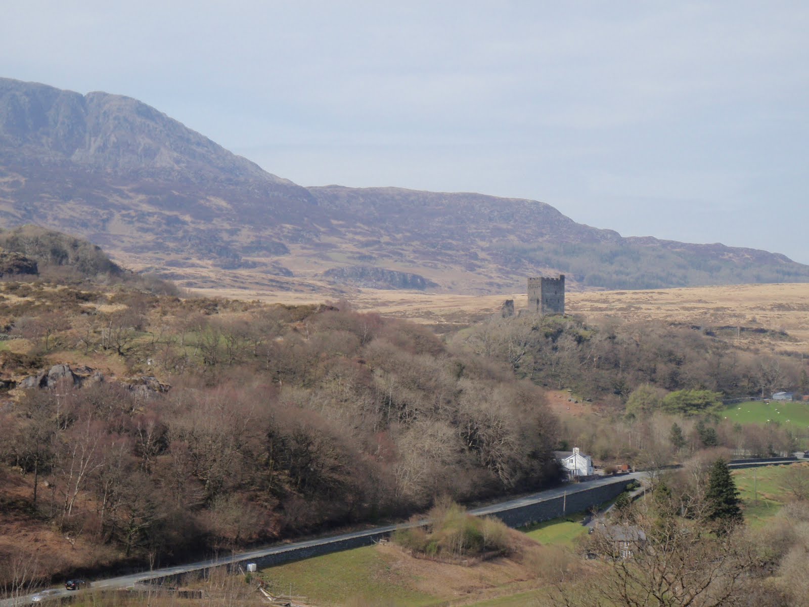
Then it’s off out to Dolwyddelan which puts me at ease as we park just where I did when here with Carol and the first bit of our walk is the same as Carol and I did.
During lunch I give my 5 min talk plus laminated cards on the YHA. It’s cold in the strong winds.
Back at the bus we get our feedback. I am ok with nav but just need to be more self confident. I think this is assessment strain. It’s actually fine doing my own legs but really hard to follow the others and that’s part of the test.
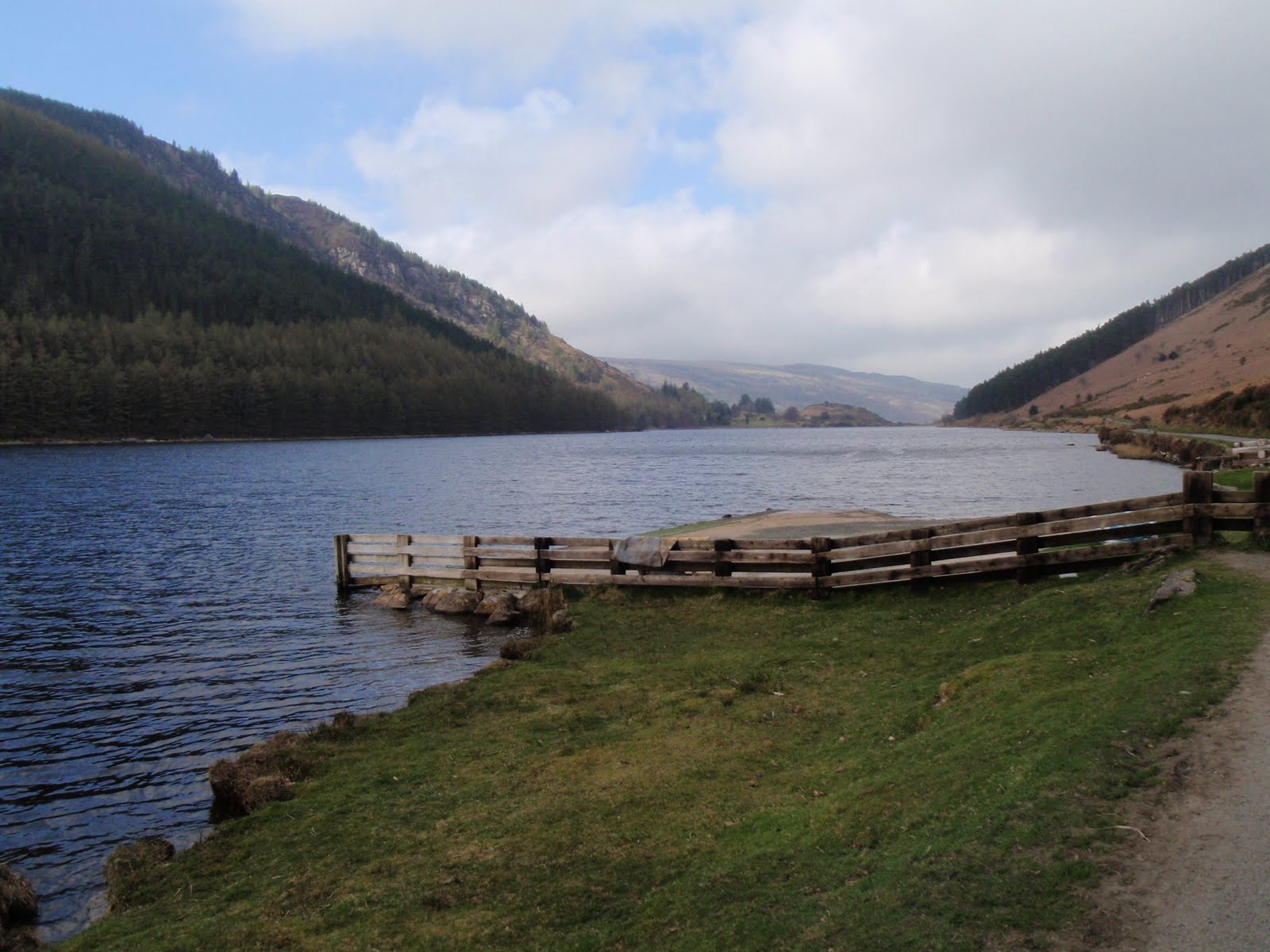
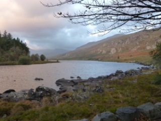
Back for scones and butter. Jam optional. We are all really tired and now have to do a route planning exercise. Again I’m in luck as it’s a walk to Llyn y Fan Fach which is an old favourite of mine.

Dinner of veg pie and lots of veg followed by raspberry pavlova yum. This evening we can socialise so I sit with the guys in the bar watching extreme mountain biking which is strangely balletic and beautiful. Such reckless control. I drink beer and Laphroiag. The rain is here so window completely shut now.

Crack of dawn at PYB

[googlemaps https://maps.google.com/maps?f=q&source=s_q&hl=en&geocode=&q=Dolwyddelan,+United+Kingdom&aq=1&oq=dolwy&sll=53.266577,-3.92065&sspn=0.017993,0.052314&t=p&ie=UTF8&hq=&hnear=Dolwyddelan,+Conwy,+United+Kingdom&ll=53.053958,-3.886585&spn=0.015477,0.025749&z=14&iwloc=A&output=embed&w=300&h=300]

Wednesday 5th October
I wake feeling anxious. After a smaller breakfast just toast and poached egg and beans we set off smartly. It’s been raining and more predicted but I’m too hot in my waterproofs already. Helen drives us to Rachub, just outside Bethesda . I’m thrown by getting a 1:50000 map to work with and make a mistake straight off as does Rick so we are both kicking ourselves.
It’s not wet but very windy so we stop in a hollow for a break and Helen quizzes us on emergency procedures. We keep going leg by leg and at lunch in a sheltered dip R gives us his 5 min talk on nature and myths.
Then back to the bus and early back to PYB for testing on the overnight experience. R gets the Trangia and I get different types of stoves most of which I have never seen but thank god I have some sense to work them out!
Then we go for showers and I pack up my things in the room. We meet back in the bar where fresh Eccles cakes are waiting for us and Helen meets us one by one to give us our results. Rick goes first and soon returns having passed. Then I go in and Helen shakes my hand and gives me my good news. I am elated and feel like crying after all the mental, emotional and physical investment I have made. My nav is good and my paperwork is excellent.
I take my leave and set off for home. One very happy bunny.
I celebrate with some more Laphroiag at home.
I have joined the MLTA for CPD and registered to do the Mountain Leader. Onwards and upwards!

[googlemaps https://maps.google.com/maps?f=q&source=s_q&hl=en&geocode=&q=Rachub,+United+Kingdom&aq=0&oq=rachub&sll=53.053941,-3.886577&sspn=0.018082,0.052314&t=p&ie=UTF8&hq=&hnear=Rachub,+Gwynedd,+United+Kingdom&ll=53.191739,-4.062281&spn=0.015427,0.025749&z=14&iwloc=A&output=embed&w=300&h=300]

Please visit Map and Compass and learn how to interpret a map with me and my navigation partner, Cath.

Snowdonia 17-24 April 2010

Saturday 17th
Very quick journey to get to our cottage Nant y Creua in Pentrefoelas. After unpacking, we went for a short walk from the cottage and then back for an omelette. 3.7 km.

[googlemaps https://maps.google.com/maps?f=q&source=s_q&hl=en&geocode=&q=Pentrefoelas,+Betws-y-Coed,+UK&aq=1&oq=pentrefo&sll=54.204861,-2.061639&sspn=0.031627,0.104628&ie=UTF8&hq=&hnear=Betws-y-Coed,+Conwy,+United+Kingdom&t=m&ll=53.007657,-3.772774&spn=0.030987,0.051498&z=13&iwloc=A&output=embed&w=300&h=300]

Sunday 18th

This was only a 4.5 mile walk but we managed to make it last all day. We followed an AA route which did not quite accord with the map. Started from Aberglaslyn car park, up to old copper mining detritus. Lunched at same place I had lunched at in February on WGL course but approached from other side. One bit of steep scrambling which was achievement for C. One fairly precipitous bit which was also handled well. Then I cocked up the navigation but we found the path by watching some others skipping along it. Both sore footed at the bottom in Beddgelert. Went past Alfred Bestall, writer of Rupert stories’ house. Back along Afon Glaslyn and single track railway line. Maureen had recommended this bit and going through the tunnel but this is all fenced off so we couldn’t do it – the tunnel that is. Very exciting so called starter walk! 7.2 km. Back for delicious home made burgers.

[googlemaps https://maps.google.com/maps?f=q&source=s_q&hl=en&geocode=&q=Aberglaslyn,+Beddgelert,+United+Kingdom&aq=2&oq=aberglaslyn&sll=53.047921,-3.687973&sspn=0.065012,0.209255&ie=UTF8&hq=&hnear=Pass+of+Aber-Glaslyn&t=m&ll=53.000013,-4.09996&spn=0.015496,0.025749&z=14&output=embed&w=300&h=300]

Monday 19th

This was mostly a shopping day in Betws-y-Coed. Nice little town and I found several items to purchase. 2 pairs of shoes and a hi-viz windproof jacket. Drove up to Llyn Geirionydd and strolled along the water’s edge for 2.4 km. (1.5 m). This was the roast chicken day and it was also delicious!

[googlemaps https://maps.google.com/maps?f=q&source=s_q&hl=en&geocode=&q=Llyn+Geirionydd,+Trefriw,+United+Kingdom&aq=0&oq=Llyn+Geirionydd&sll=53,-4.1&sspn=0.016271,0.052314&ie=UTF8&hq=&hnear=Llyn+Geirionydd&t=m&ll=53.131067,-3.848991&spn=0.015449,0.025749&z=14&iwloc=A&output=embed&w=300&h=300]

Tuesday 20th

Nice drive over to Harlech across moors with grand views. Wandered around Harlech, nice and sleepy, had good cup of coffee. Short length walk above the town looking over the sea to little reservoir, but whilst sitting on a grassy knoll eating our sandwiches, we were approached by 2 pretty grumpy sheep. I made short shrift with them with my walking pole and shouting so they backed off. We continued on our way to the reservoir this time with all navigation going to text book plan. On our return trip, a great many sheep decided to gang up and started to rush at us. This was a very unnerving and pretty frightening thing to happen. I now really hate sheep and mint sauce is all they are good for. 4.8 km. (3 m). We went to the Bryn Tyrch Inn at Capel Curig. The food was nice (I ate beef) but the service was so slow, we just felt cross. I did tell them this when we left.  Fine if you don’t mind waiting an hour to eat when you have booked a table.

[googlemaps https://maps.google.com/maps?f=q&source=s_q&hl=en&geocode=&q=harlech&aq=&sll=53.131061,-3.848979&sspn=0.016222,0.052314&ie=UTF8&hq=&hnear=Harlech,+Gwynedd,+United+Kingdom&t=m&ll=52.85887,-4.107857&spn=0.015547,0.025749&z=14&iwloc=A&output=embed&w=300&h=300]

Wednesday 21st

Nice lazy day, went over to Dolwyddelan and walked a bit before heading to castle, got to point where we looked down on it. 4.7 km. (2.9 m) Inspired to make warm salad with left over chicken and potatoes plus added hot bacon and a bit of onion and tomato. This went down well!

[googlemaps https://maps.google.com/maps?f=q&source=s_q&hl=en&geocode=&q=Dolwyddelan+Castle,+Dolwyddelan,+United+Kingdom&aq=0&oq=dolwy&sll=52.874051,-4.051981&sspn=0.032637,0.104628&ie=UTF8&hq=Dolwyddelan+Castle,+Dolwyddelan,+United+Kingdom&t=m&ll=53.052874,-3.908215&spn=0.007739,0.012875&z=15&iwloc=A&output=embed&w=300&h=300]

Thursday 22nd

Sightseeing, went to Tŷ Mawr Wybrnant National Trust property. We were duly entertained by Will and had the place to ourselves. Beautiful location. I just love that there 5 consonants in a row. Went for short and very muddy walk in the forest nearby. So muddy it just wasn’t fun. 2.1 km. (1.3 m) Dinner at the Ty Gwyn Hotel in Betws-y-Coed. Nice food but over generous on the portions, just so much we couldn’t eat it all despite our best efforts. Other diners were a pair of middle aged gay gents, a table of 4 quite posh people and a couple who were so pissed they tried to exit the room by walking into the very large wall mirror.

[googlemaps https://maps.google.com/maps?f=q&source=s_q&hl=en&geocode=&q=Ty+Mawr+Wybrnant,+Dolwyddelan,+United+Kingdom&aq=0&oq=T%C5%B7+Mawr+Wybrnant&sll=53.052887,-3.908215&sspn=0.016251,0.052314&ie=UTF8&hq=Ty+Mawr+Wybrnant,&hnear=Dolwyddelan,+Conwy,+United+Kingdom&t=m&ll=53.053493,-3.842468&spn=0.030954,0.051498&z=13&iwloc=A&output=embed&w=300&h=300]

Friday 23rd

This was our best walk day. After buggering about to find the right road to start from, we parked up near an archaeological dig just up from the village of Dolwyddelan. It was straight up for a good 200m which was pretty energising, very steep indeed. Then once the climb was over we were out in open country with no-one else in sight except for an eagle. Sandwiches en route and then down across moor and then farmland, the usual barking dogs, along the railway, through the wood, and back up to the car, a lovely lovely walk. 7 km. (4.4 m) Dinner at the Bistro, Betws-y-Coed, this was a real treat and great that we had booked it for our last evening. The posh people from the night before were also here and they too were much happier with their meal. Excellent food, and great service. Free nibbles to start with and free mead plus sweets to finish. It should be in the Good Food Guide. In fact, I’ve just recommended it.

[googlemaps https://maps.google.com/maps?f=q&source=s_q&hl=en&geocode=&q=Dolwyddelan,+United+Kingdom&aq=&sll=53.054577,-3.889503&sspn=0.032501,0.104628&ie=UTF8&hq=&hnear=Dolwyddelan,+Conwy,+United+Kingdom&t=m&ll=53.053958,-3.886585&spn=0.015477,0.025749&z=14&iwloc=A&output=embed&w=300&h=300]

Saturday 24th

Sad to leave as have had a lovely holiday in nice cottage, peaceful and quiet and restful.

Please visit Map and Compass and learn how to interpret a map with me and my navigation partner, Cath.

css.php