Babs, Chris, Jay and I met up at the Hinchliffe in Cragg Vale. I was hoping the Hinch would be open as I fancied a coffee but they don’t upon until midday on a Sunday.
Babs led our walk and mostly she led us into bog! We set off going down towards the river which is the Turvin Clough. This was the first boggy stretch of many. Very lovely down by the river where there is an old clapper bridge. The sun came through the trees at this point and then we went up a long stretch of stone steps onto the moor. We stopped for a bit, near Tenter Wood, Babs told us how the expression “being on tenterhooks” comes from the fabric having to be hung out using hooks made of glass as metal or wood would stain the fabric.
We ate cake that Chris brought which was a bit like a Christmans pudding cake with yummy fruit and nuts in. The sun went in and the mist came down. It didn’t really manage to lift again so we spent most of the time in the cloud, very good for nav skills practice!
Along the contour for a good kilometre until we arrived at the end of the reservoir. There is still a lot of work going on here and it doesn’t look very nice at the moment but it should be done by the spring. I was a bit upset by how horrible it looks as this is one of my favourite places to walk. I suggested that it would be nice if Yorkshire Water resurfaced the road up from the Hinch to the reservoir and we had a little grumble about this, I’ve looked this up and it seems they have filled in the potholes and cleared the gullies. So I should think!
We walked around the reservoir and then headed off up the hill going through some more bog.
Stopped for our second meal break, this time it was lunch for me, a pitta with hummous. I produced my homemade flapjack and this went down fairly well. Babs was a little surprised to find that she could eat it despite almond essence and sultanas!
Around the edge of what Chris and I know to be an extremely boggy wood, but still managing to be quite boggy along its perimeter, then round to the road for a short stretch. Down a nice track and then the road, going past Cragg Old Hall and back down to the Hinchliffe.
In the Hinch, we had hot chocolates and coffee. Since getting home through the thick fog, I’ve looked up the Hinchliffes and found this gem about them.
Our walk featured a lot of bog, lots of walled in packhorse tracks and lots of paths on the ground that aren’t on the map.
 |
| Clapper bridge |
 |
| Shadows in’t mist |
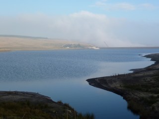 |
| Blue, blue Withens Clough |
 |
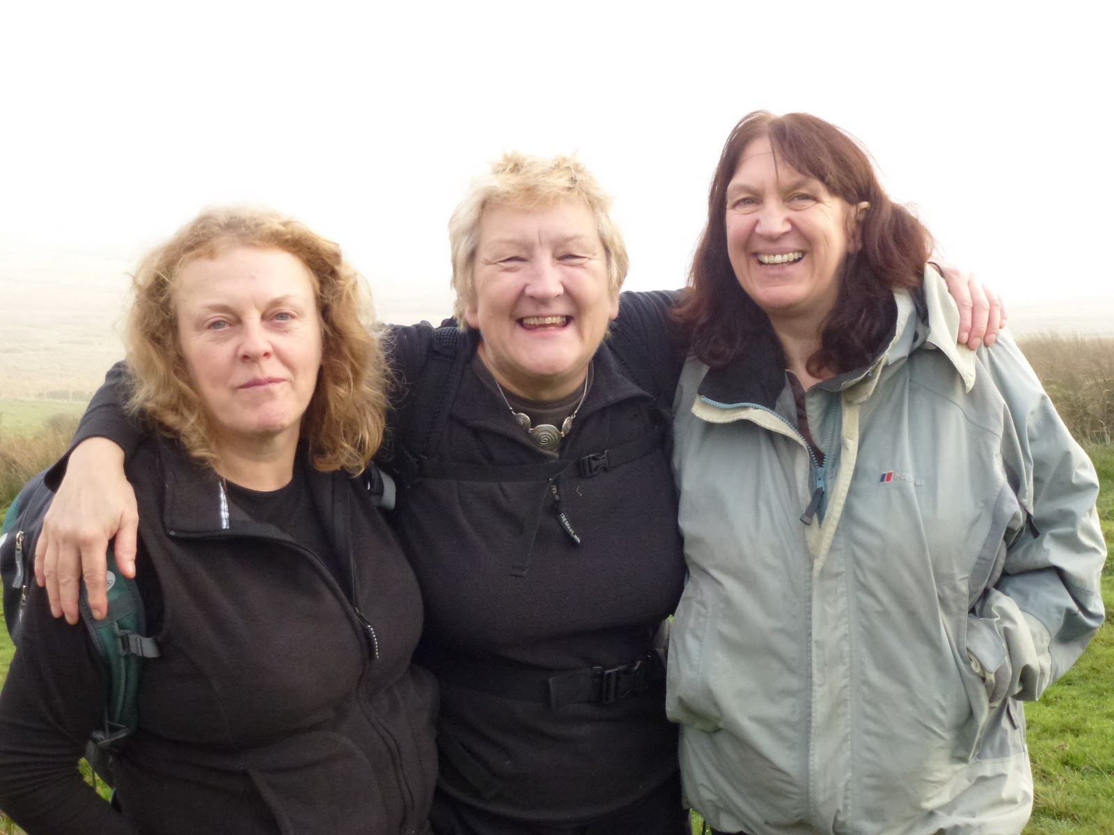
| Babs (she said she was smiling), Chris, Jay |
 |
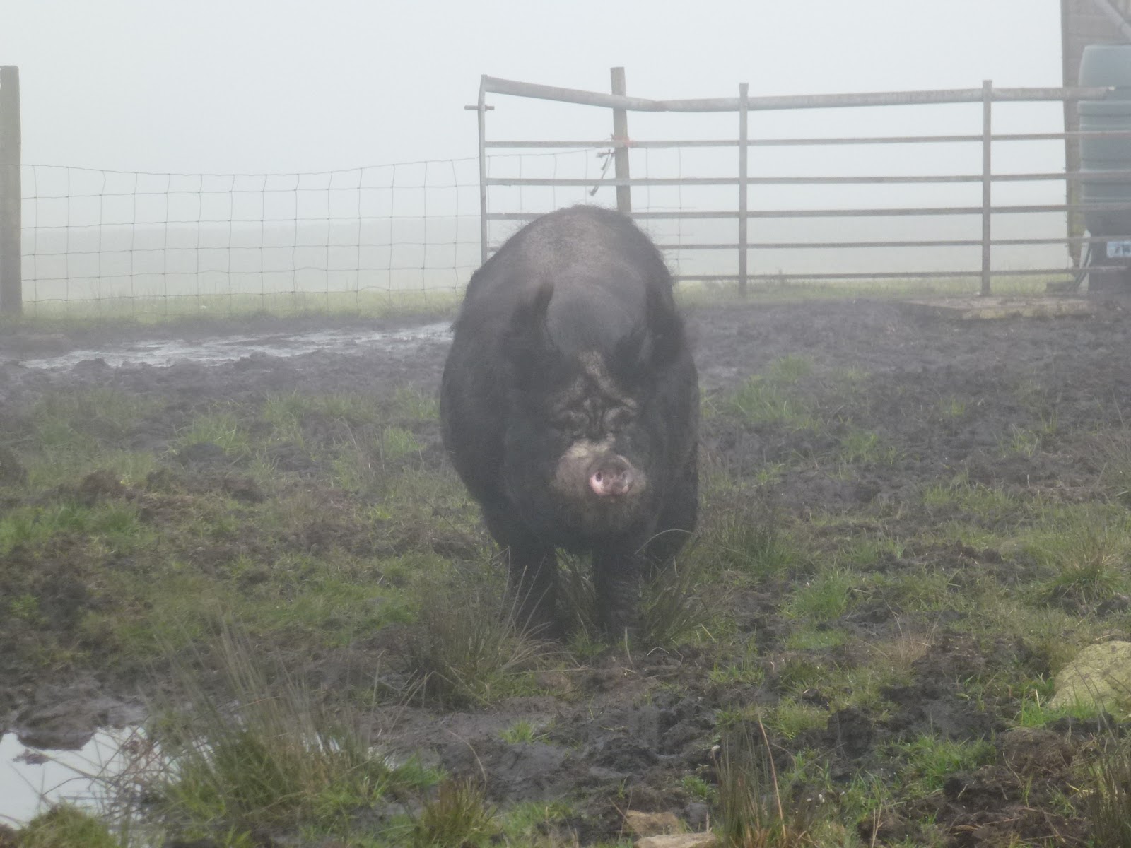
| Rashers |
 |
| Cragg Old Hall |
[googlemaps https://maps.google.com/maps?f=q&source=s_q&hl=en&geocode=&q=Withens+Clough+Reservoir,+Hebden+Royd,+Calderdale+District,+United+Kingdom&aq=0&oq=withens+clough&sll=54.370611,-3.1215&sspn=0.0716,0.241356&t=p&ie=UTF8&hq=&hnear=Withens+Clough+Reservoir&ll=53.702804,-2.029467&spn=0.015243,0.025749&z=14&iwloc=A&output=embed&w=300&h=300]
Please visit Map and Compass and learn how to interpret a map with me and my navigation partner, Cath.
Save