Goodbye, darling Chris 

22nd August, what would have been her 64th birthday.

We gathered at Mwnt, some travelling across the world. There were people from all parts of Chris’s big shining life. It was good to reconnect after 30 years, with Roselle. The first place that Chris and I lived together was with Roselle and Pascale in Hinton Road in Bristol and I haven’t seen her since then. Beginnings and endings.

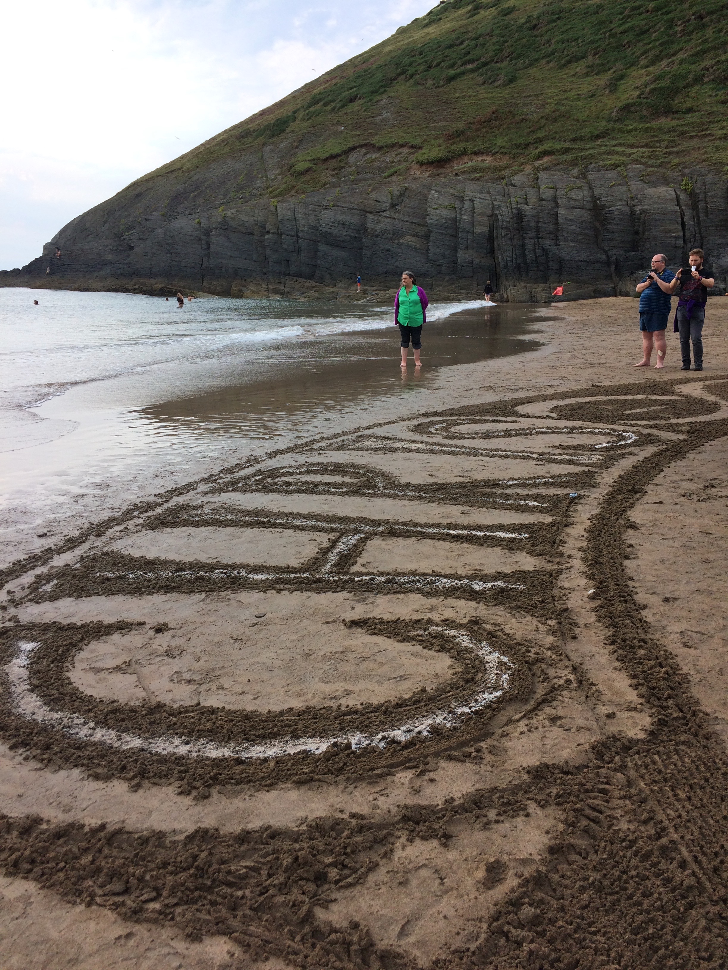
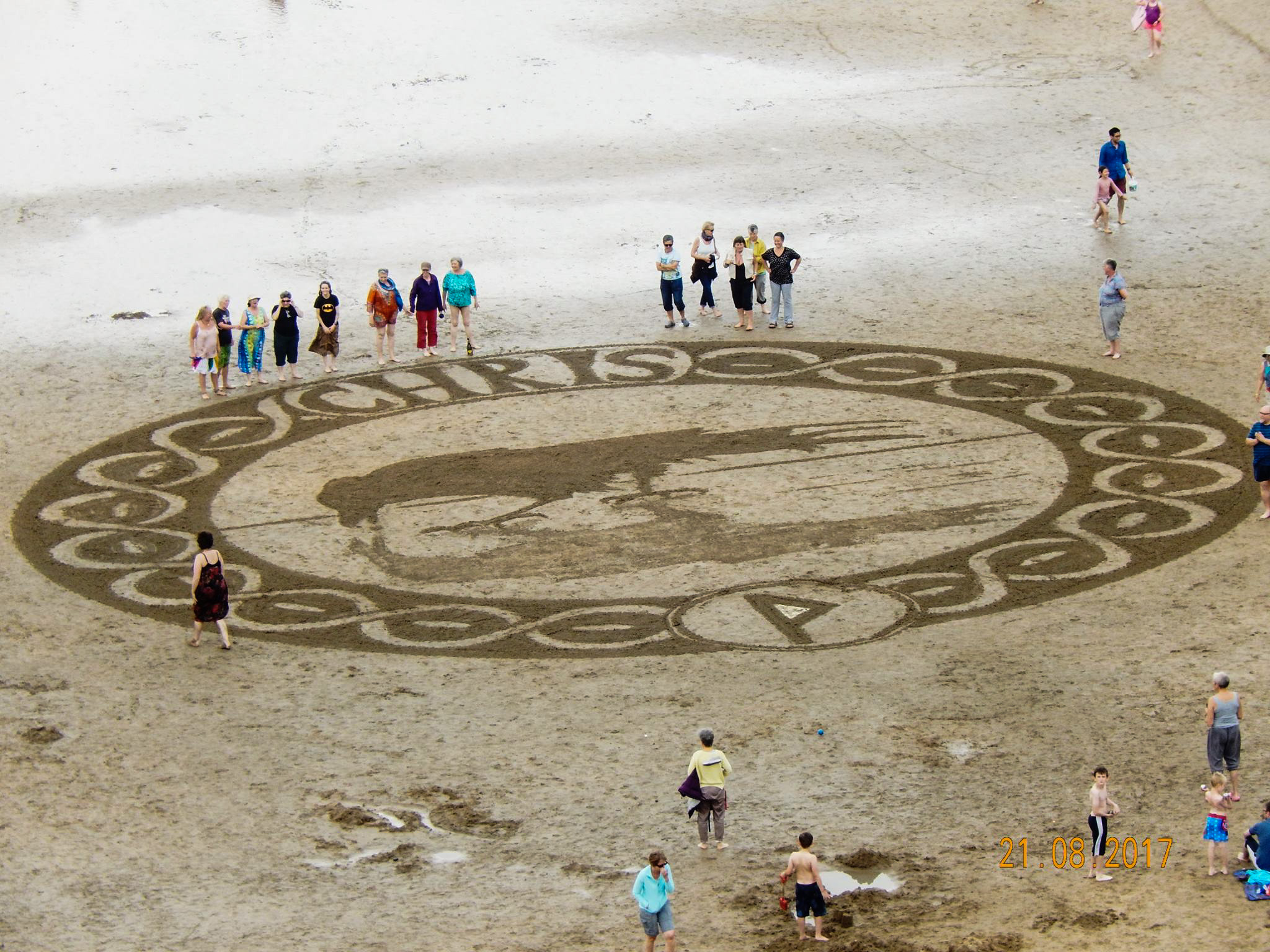
Marc Treanor rocked up with sticks, rope and rakes. Those who wanted to, joined in with creating the sand circle. It was Chris’s tattoo with her name at the top. It was amazing watching it take shape from above.

When it was done, we formed a human circle around the circumference with Chris’s family, friends and complete strangers from the beach. I had Andy in one hand and a very small sandy hand belonging to a skinny little boy in the other. We sang happy birthday to Chris.

As the tide came in those of us left gathered around Chris’s name. Andy scattered her ashes in the lettering. The tide came in and Chris took her last swim.

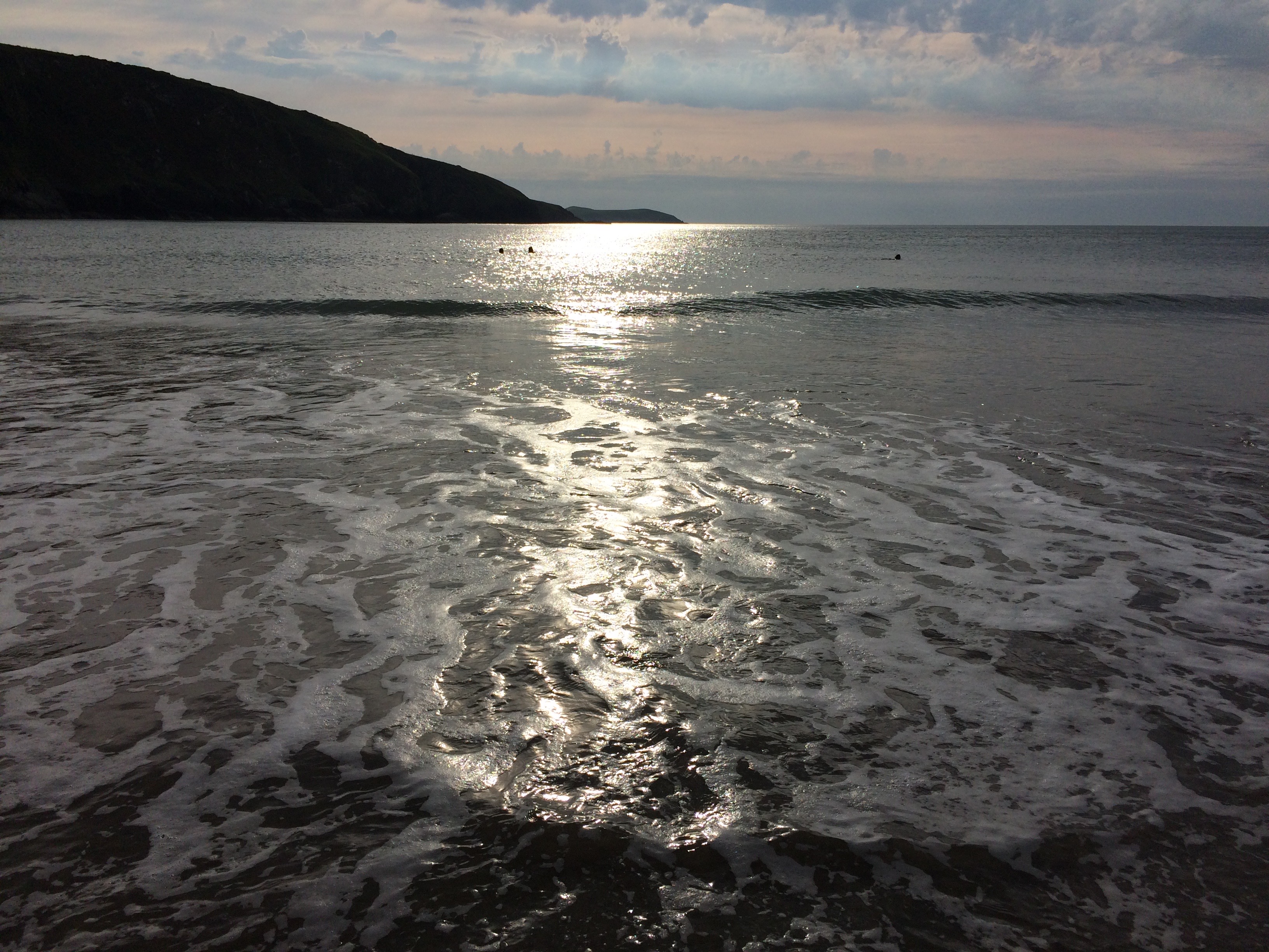
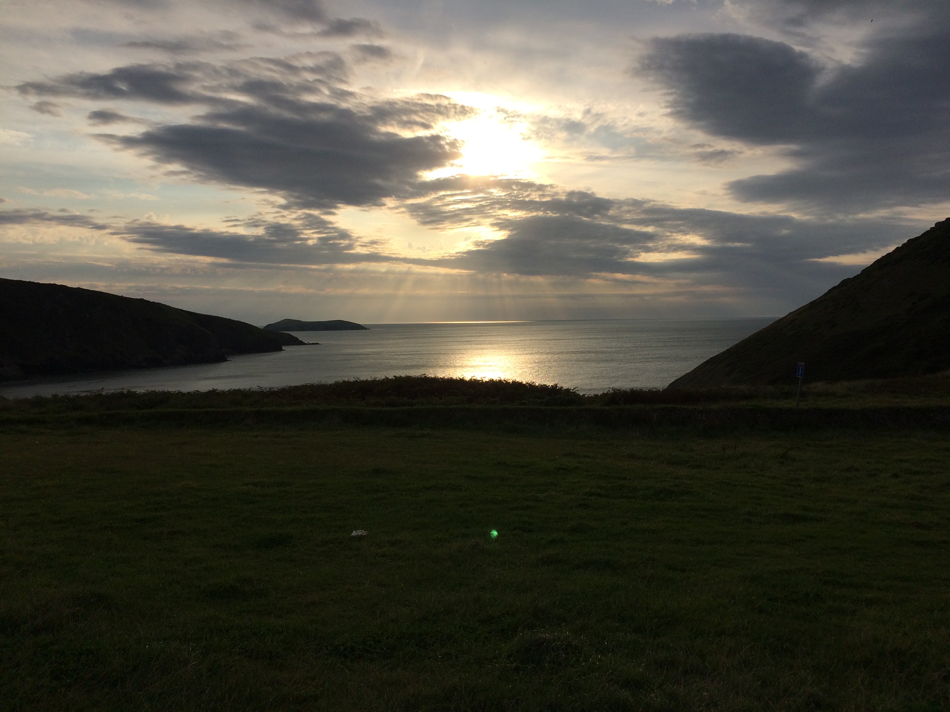
A beautiful day for my beautiful soulmate. Champagne as the sun went down. Let your love lift me up.
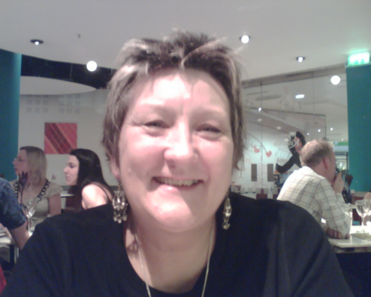
In Antwerp for a Bruce gig

[youtube https://www.youtube.com/watch?v=EWsRO13ZqRU?rel=0&w=560&h=315]

Video of the sand creation, by Marc Treanor

Music: Lift me up by Bruce Springsteen
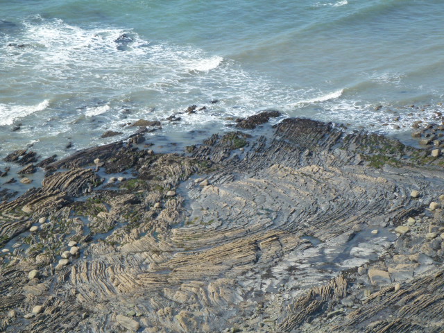
CCP Llanrhystud to Aberystwyth 

24th August 2017

I stayed in Penybont B&B in Clarach. John kindly drove me in to Aber. I had a coffee in Coffee #1. Hopped on the T5 I think. Anyway it took me to Llanrhystud. Carol rang just as I got off the bus, great relief as had been having no response to messages for 2 days. It turned out she had been sleeping a lot.

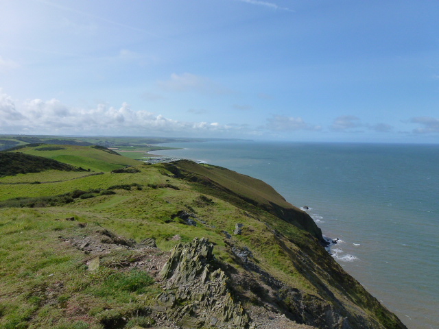
Back on the path. I felt like an old donkey all day and did it very slowly. There were a lot of ups, seemingly more than downs! Used my poles most of the day because the grass was slippery after the early heavy shower. No rain on me, sunny and windy. I only saw 2 people on the path all the way to Aber so it felt oddly remote. It took me about 5 and a half hours to get to Aber but then I felt pretty tired so had an ice cream in Pizza 25. John came and retrieved me.

There were signs where they weren’t really needed, e.g. Straight on or in the sea and also a lack of signage when it was. The path went through a field of cows but I coped.

I ate in Medina. Good food, good service. I had 3 salads and a Hell lager. Felt calmer.

I’m raising money for amyloidosis research which is vitally needed, to help with early diagnoses, joined up care, more than one amyloidosis centre in the whole of the UK, and treatment that works. It’s a vile disease and it would be great if we can do something to relieve people’s suffering. Please visit my JustGiving page.

Just loved this tunnel
These were massive, dinner plate size
I think it’s a chaffinch but please correct me if I’m wrong
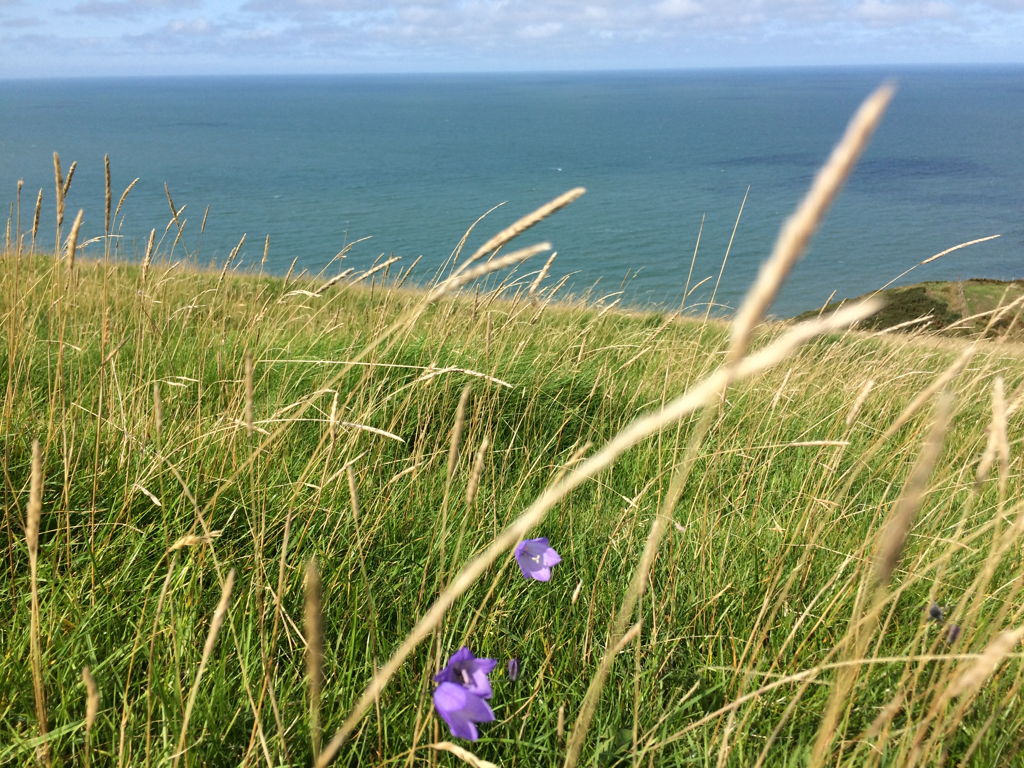
Gateway to the sea

Wycoller and Boulsworth Hill 9th July 2017

This is walk 16 in Cath Dyson’s “Navigate your way around… The South Pennines”. I’d had my eye on Boulsworth Hill or more precisely on the summit Lad Law, because I like the name, for a long time. It’s accessible from Walshaw Dean which is one of my favourite spots but I’ve never done it from there.

I parked up at Wycoller and walked to the village, checked the time the cafe shut and decided to get back there in time for an ice cream. I followed Cath’s route but omitted the micro nav challenge up on the top. It’s a great walk with lots of variety, history, farmland, moors, access land, green cloughs with tinkling streams, big stones, woods, bog (only a short section, how I missed my bog pal there). When I got to the road leading out of Trawden, I could hear a brass band so I speeded up to get away. It seemed to get louder the further I went.

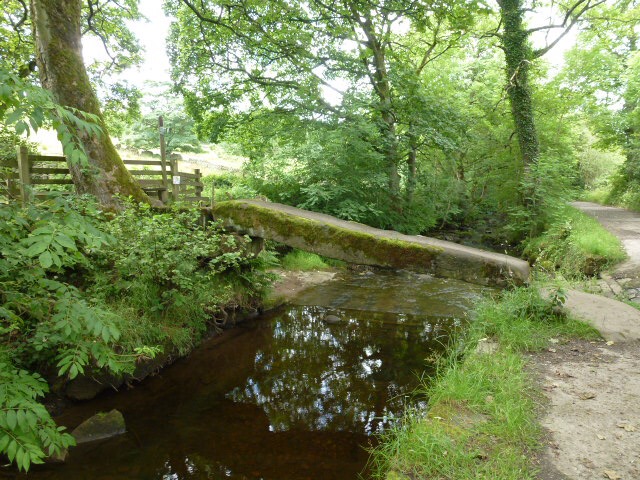
Back at Wycoller, I stopped for a very nice vanilla with a flake stuck in it. This is the cafe where I thought I saw Celia Imrie. Wycoller is also where Chris saw a ghost on the clapper bridge. There is a well known ghost in the hamlet but that one doesn’t fit Chris’s description.

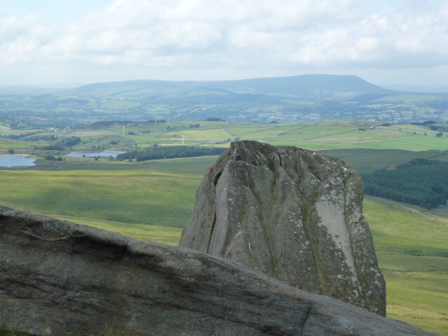
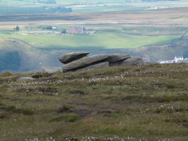
This mitre be the Bishop Stone
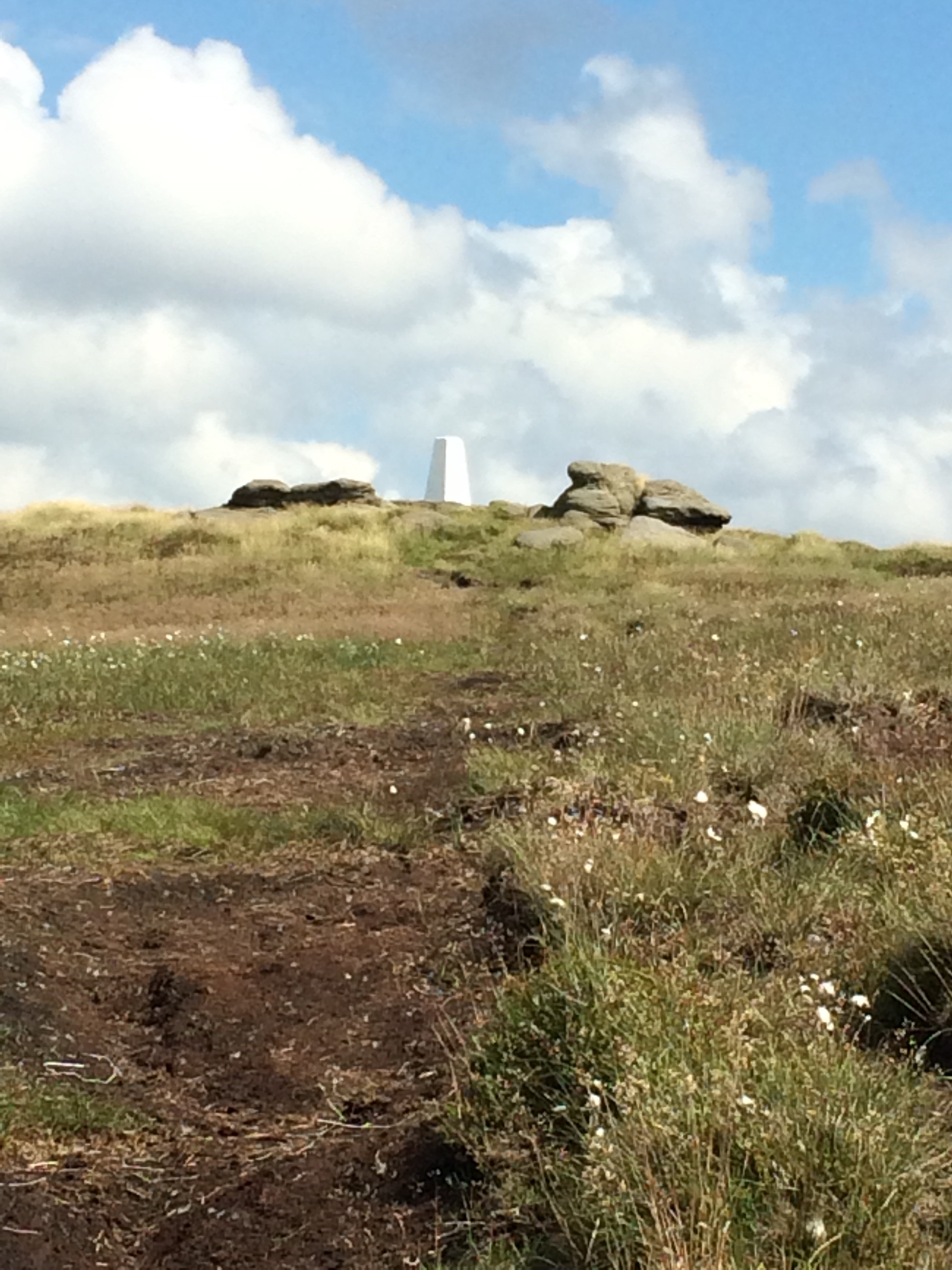
Lad Law
Little Chair stones

Please visit Map and Compass and learn how to interpret a map and use a compass with me and my navigation partner, Cath.

MAPandCOMPASS

Calderdale Way 2nd July 2017

The latest project, at least I think it is. Carol and I did most of it 11 years ago when I was going through a rough patch and it helped. Both the physical act of walking and the obsessive recording of what we had done.

Because it’s mostly on footpaths it’s harder to find places to park the car to make sensible routes, this means the sections have to fall between roads. I remember this was the hardest bit before.

Babs is keen to join me I think!

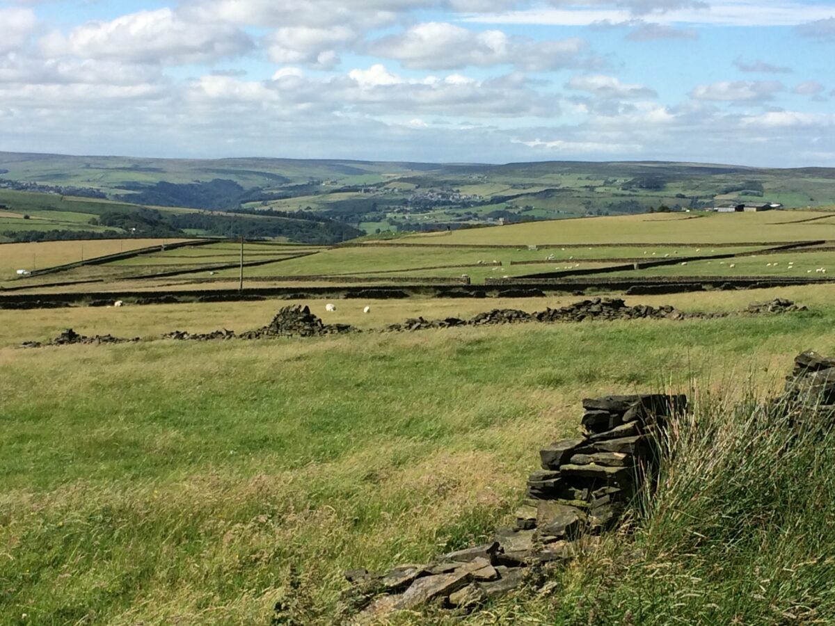
We started in Millbank and headed up for quite a way until we got onto open moorland. Then we went back a different way down lanes with very few cars. All lovely in the warm sun. Quite windy.

B  had chores to do so she went off. I returned to the bit with the soggy looking field and went a good bit further. There were some brick and concrete walls which turned out to be the remains of a WW2 decoy site, intended to confuse German bombers. I wonder if it did. Along Water Stalls Road but this is a green bridleway and not a metalled road. I turned back where this lane turns to descend to Catherine House. There were a lot of fidgety cows which made me not fancy it today.

It was apparently very cold when we did this in January 2006. I don’t remember it at all.

3rd July

I finished off the bit from the day before down to Catherine House which has a big old barn and big old chimney next to it. The cows were all a long way away this evening.

Towards Mytholmroyd
Sun in my eye, Stoodley Pike should have been in this!
Please visit Map and Compass and learn how to interpret a map and use a compass with me and my navigation partner, Cath.

MAPandCOMPASS

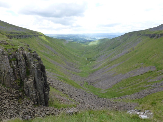
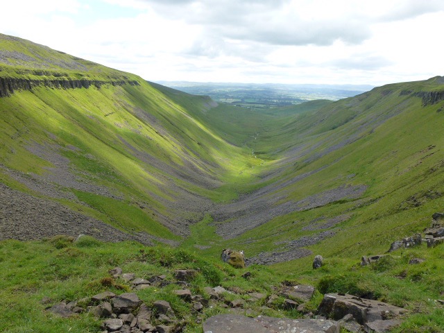
High Cup Nick 25th June 2015

This has been on the list for a while. It’s dramatic from a distance and close up. I parked on the Pennine Way (sounds bad but this was a road section) in Dufton.

It took an hour and 3/4 to reach the head of the nick where I had my lunch. Very windy and cold. The wind went straight up the fell. I practised some micro nav as I went along. The map I used (1:25K) had a GP abbreviation near the head of the nick. This means either a Gas Plug or a Guide Post. I didn’t check it out but reckon it’s probably the latter.

Tremendous views. The nick is the result of lots of volcanic and glacial action and more latterly, mining. See the village web site.

Back down in 1 hour and 1/4. Reversed the route because I didn’t fancy a long scree section to go back along the valley.

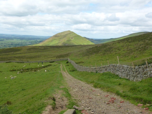
From about 8 miles away
Please visit Map and Compass and learn how to interpret a map and use a compass with me and my navigation partner, Cath.

MAPandCOMPASS

css.php