Fri 16th March
Set off fairly smartly stopping at Tebay for pies and meat. Some prolonged showers on the way up but a good journey. We went off the motorway for a fast sandwich lunch and only stopped once more for a wee before Glasgow. Arrived at Glengarry House B&B about 4.30 and were warmly welcomed by Ellen and Andy. We had flapjack and tea. We had a different room from the last time with an en suite shower, last time we had to cross the passage in our pyjamas to reach the shower room. Carol showered and I wasted time on my iPhone. After choking on my small Jura whisky we went down to chicken wrapped in prosciutto with pesto and mozzarella inside. Served up with small spuds, broccoli, green beans and carrots. Mine followed by boozy fruit and ice cream, C by sticky toffee pudding. Then coffee and mints. We stayed by the wood burner chatting to Ellen for some time. Some other guests turned up, the woman was going to run from Tyndrum to Fort William and the man from Bridge of Orchy, 42 and 30 miles respectively. She was in training for a 90 mile run!! Then another wee dram the right way down.
[googlemaps https://maps.google.com/maps?f=q&source=s_q&hl=en&geocode=&q=Tyndrum,+UK&aq=0&oq=tyndru&sll=53.777529,-1.958227&sspn=0.018157,0.060339&t=p&ie=UTF8&hq=&hnear=Tyndrum,+Stirling,+United+Kingdom&ll=56.436068,-4.711761&spn=0.014236,0.025749&z=14&iwloc=A&output=embed&w=300&h=300]
Sat 17th March
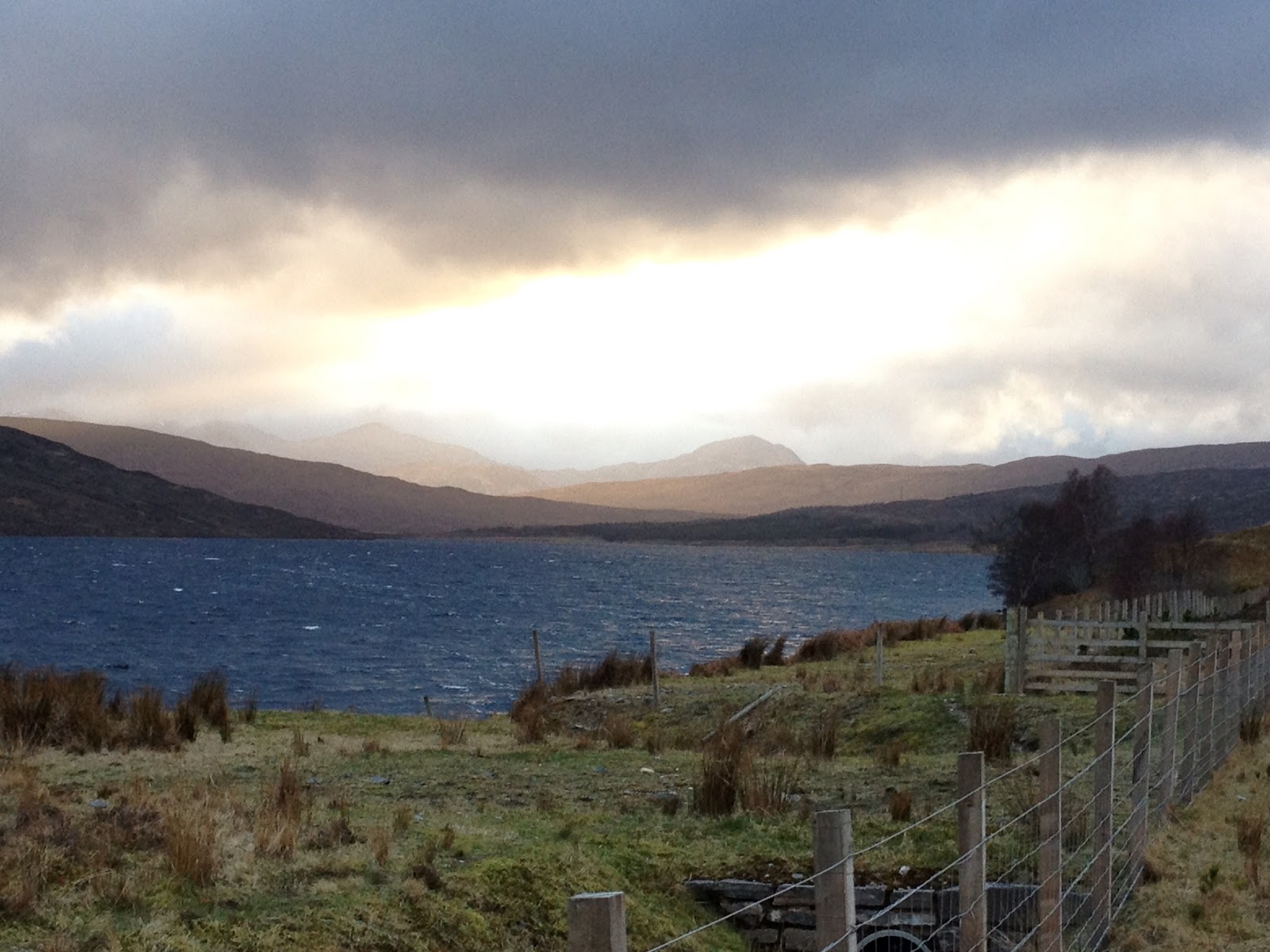
C had breakfast of bacon, egg, sausage, tomato and cornflakes. I had fruit n fibre with yoghurt followed by baked beans, toast and a veggie sausage. Good journey to Fort Willy with some heavy showers. Stopped at Morrisons for even more supplies. Stayed on the A82 until Invergarry where we had a swift coffee at the hotel. This is a nice old hotel with decent coffee and a mountain theme. A change here as we took the road to Inverness because of the landslip at South Strome. Up to Fort Augustus but you can’t see the fort from the road (but I have since found it’s not Fort Augustus I’m thinking of but Fort George) and then all round the side of Loch Ness to Drumnadrochit. A few wiggles and then a quick pie break. C didn’t eat much of her steak and potato pie so I had to help out. Some more wiggles and then more or less a straight run through to Lochcarron which we reached about 3.30. Stalker’s Cottage is down a long track off the road, past another cottage and some big barns. It is a long low white building clad entirely in wood on the inside. We unpacked and boosted up the heating, then out for a short walk to get our bearings. Loch Carron is the view out the front and Glas Beinn behind. Steep drop behind the cottage leading to a stream in the ravine. We walked up past Tullich House to which estate this cottage used to belong, and up a path leading round Glas Beinn.
Back to the cottage which was then pretty warm and so roasting hot by the time I’d finished cooking that I was in a muck sweat.
I cooked up pasta and Mediterranean veg in sauce using a mixture of the Rayburn and the mini electric cooker. The room is so hot we don’t need the fire but the water wasn’t really hot enough for C’s bath. We are going to experiment with the settings…..
Drank the nice Merlot that greeted us and then looked into our walking plans for the week.
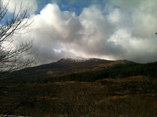 |
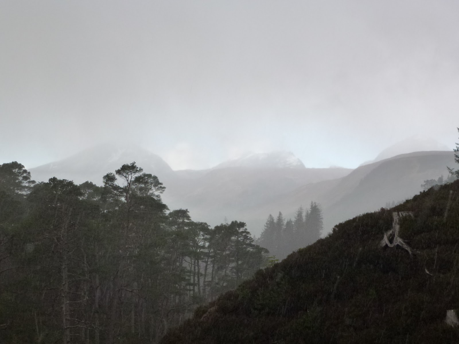
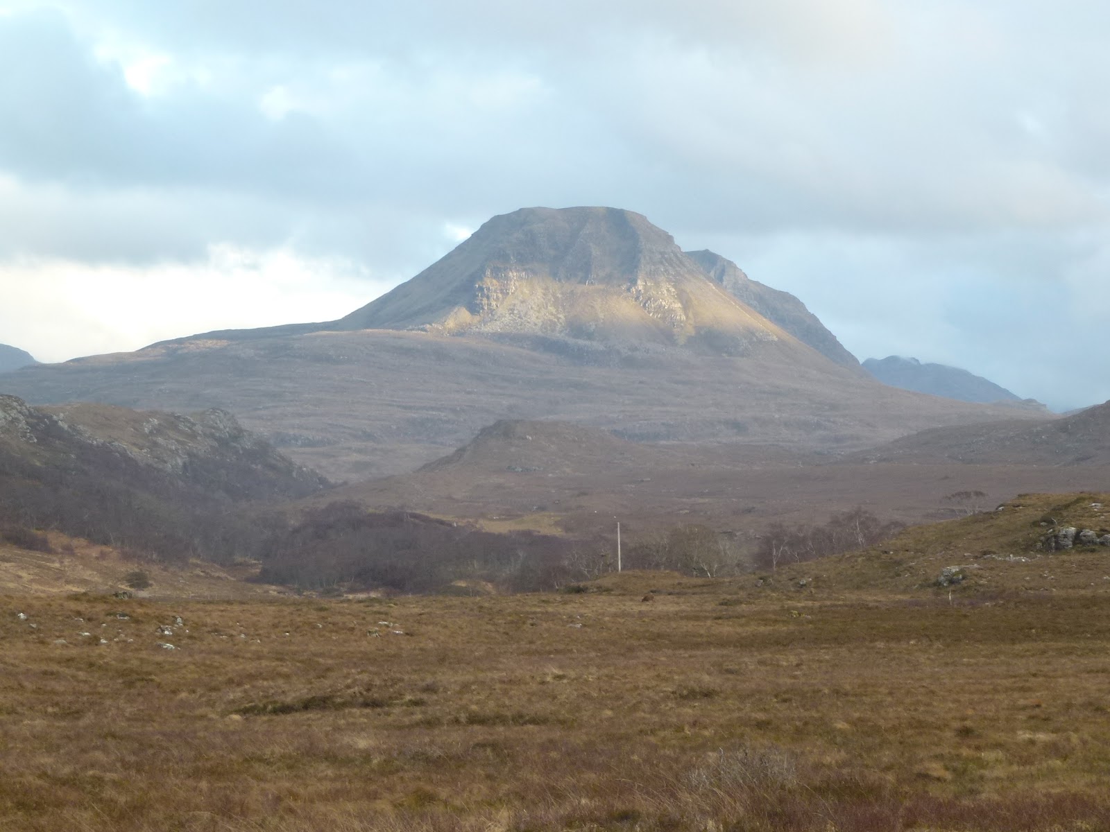
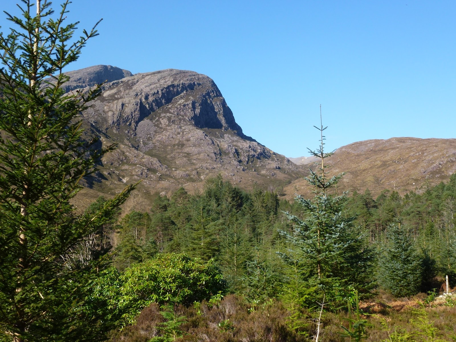
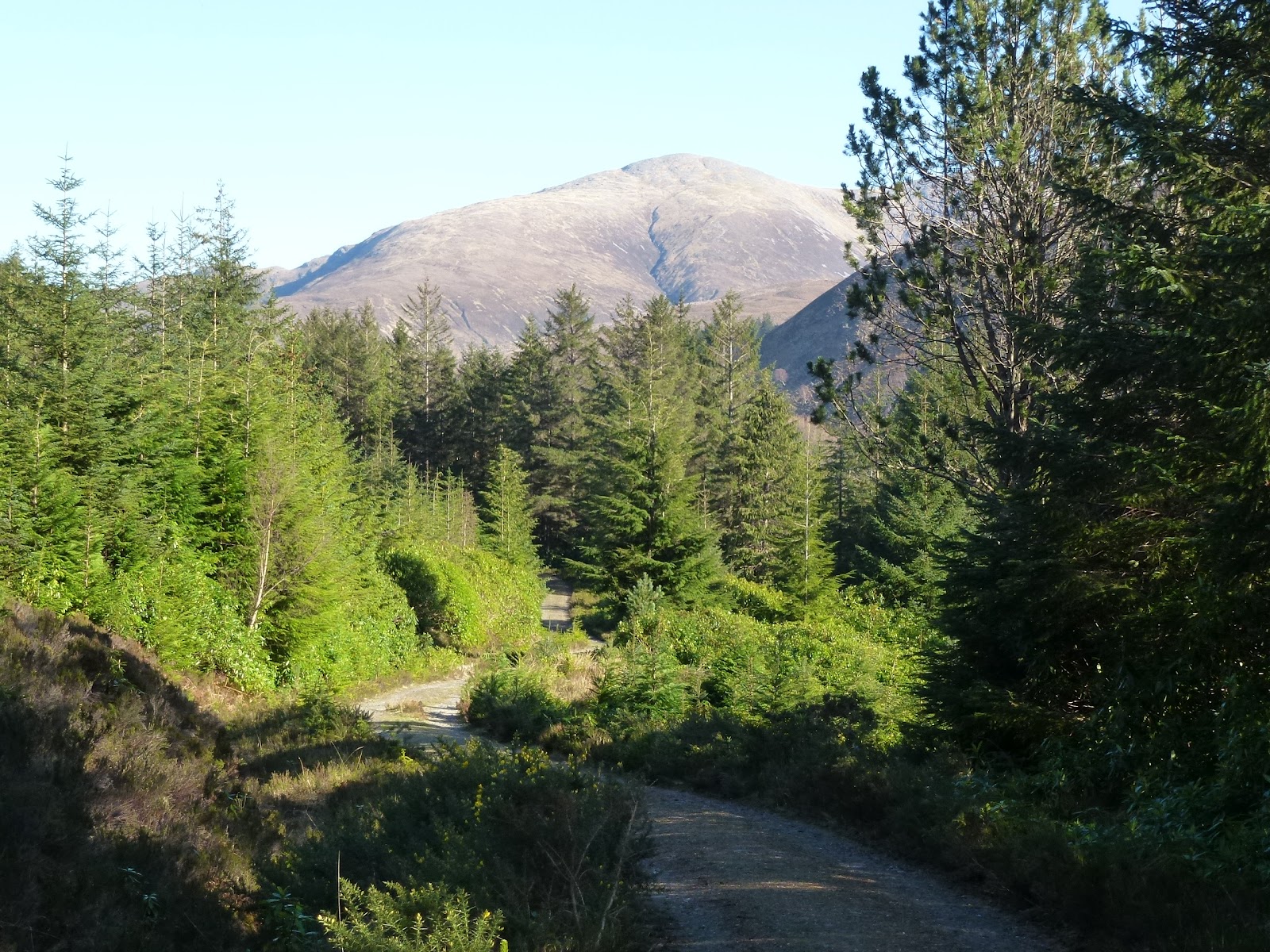
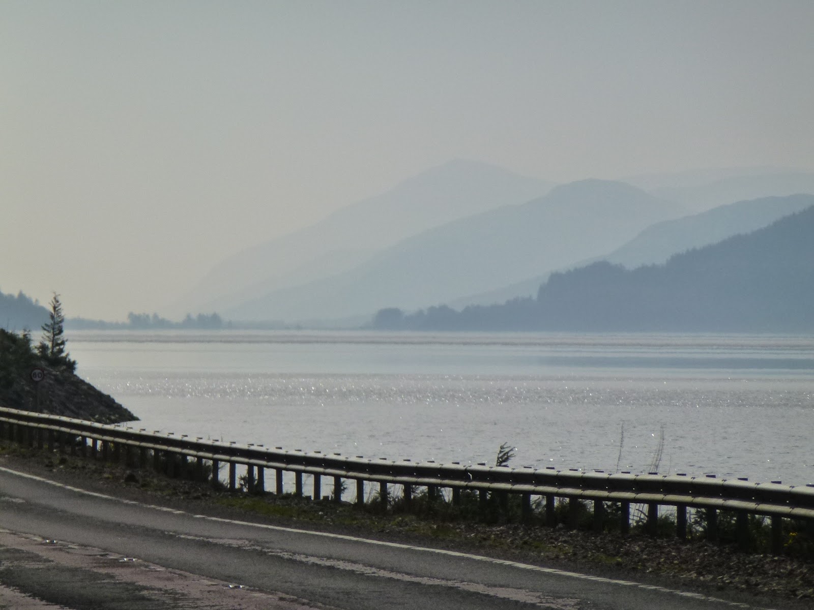
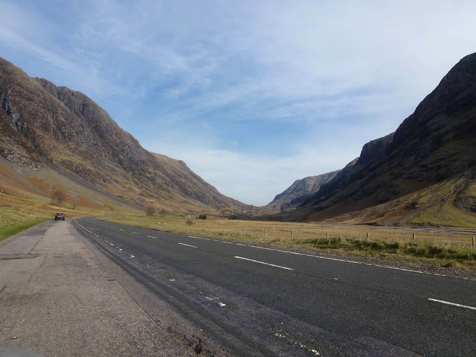
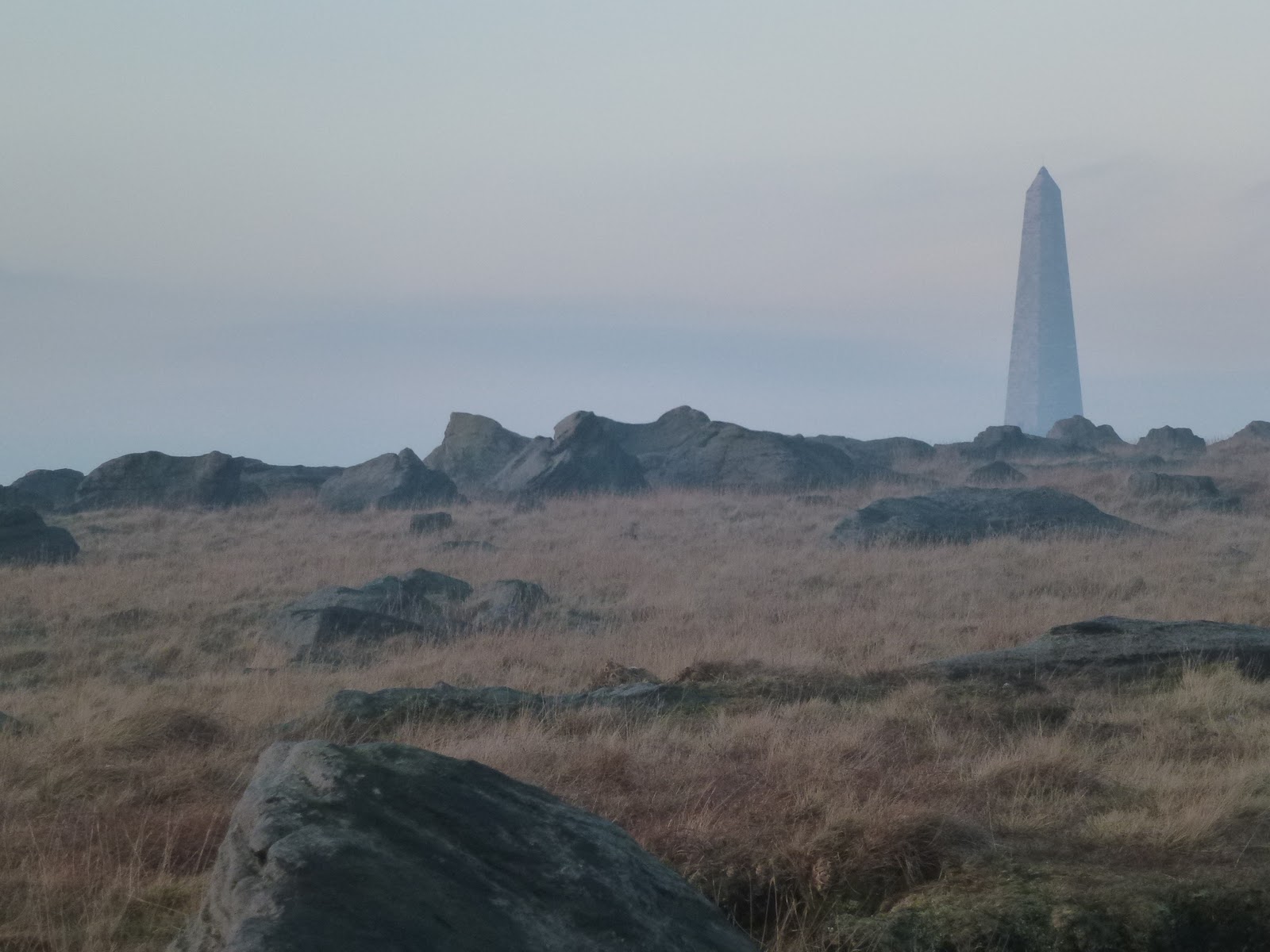
| I think this is Ben Oss (near Tyndrum) |
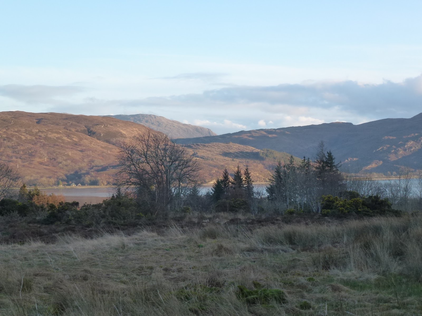 |
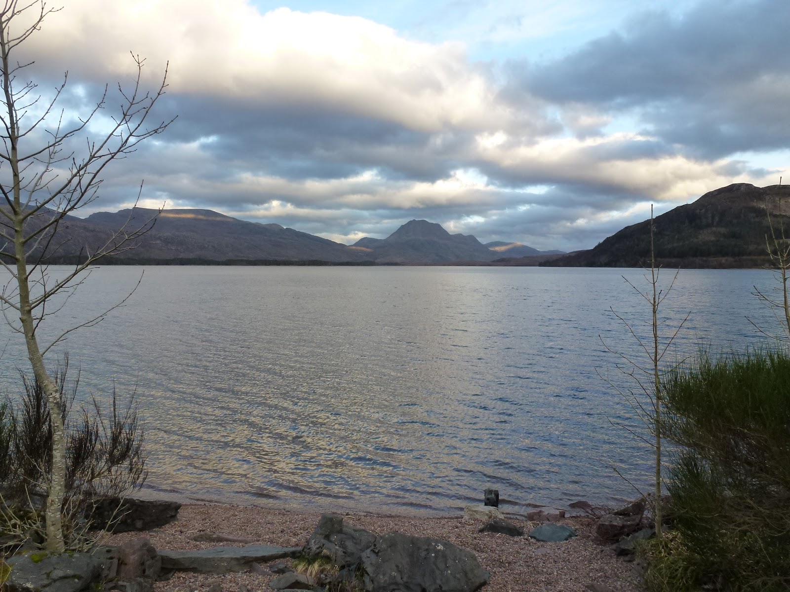
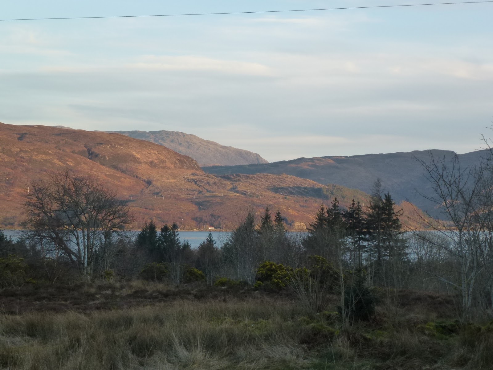
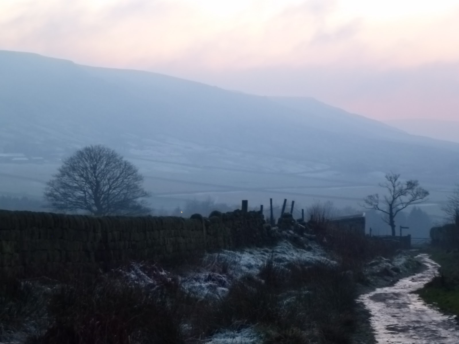
| View from Stalker’s Cottage |
[googlemaps https://maps.google.com/maps?f=q&source=s_q&hl=en&geocode=&q=Lochcarron,+UK&aq=1&oq=Lochcarron&sll=57.374185,-5.532265&sspn=0.132534,0.482712&t=p&ie=UTF8&hq=&hnear=Lochcarron,+Highland,+United+Kingdom&ll=57.397717,-5.50312&spn=0.013874,0.025749&z=14&iwloc=A&output=embed&w=300&h=300]
Sun 18th March
C didn’t sleep well because she was cold as the eiderdown had slipped away so the bed has now been remodelled. The bed is made of blankets and eiderdown which is really heavy and too hot (for me).
I took a fairly chilly bath and then ate all last night’s leftovers for breakfast. We planned out the walks some more and then set off down the road to Craig which we’d driven through yesterday. Parked up in the forest and crossed the little railway line to be greeted by a white horse. On along forestry tracks to cross the River Carron and then up along the side of the Allt a Chonais ravine. The walk was supposed to go down to the river and then across a bridge but the path was non existent and the drop so perilous that we gave it up. We walked a bit more along the track with Sgurr nan Ceannaichean in the foreground and then it rained quite hard so we backtracked as we didn’t have a full complement of wet weather gear. We shared out what we had and got back down by which time the sun was warming us so we stopped for sandwich and fruit lunch and then returned to the car.
We went through Lochcarron passing the golf course cafe where we are to look for Ellen’s (from the Glengarry B&B) aunt to see if she is living there. The cafe was shut. Also our bistro was shut which was disappointing as we were counting on it for a meal out. There is a guest house called Rockvilla which we may try despite terrible name. What if it’s full of Shakin’ Stevens?
Back to our cottage. The water is now really hot so we seem to have sussed the Rayburn. The main drawback to cooking on it is that I get so very hot and am still feeling roasted now an hour later. We’ve just had Thai green chicken curry with Pak Choi.
Watched a bit of Downton Abbey to which we have both succumbed!
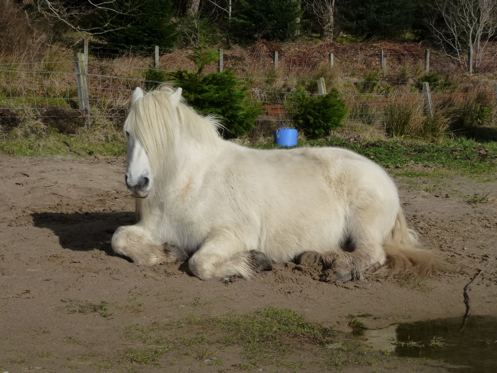 |
| White Horse sans whisky |
 |
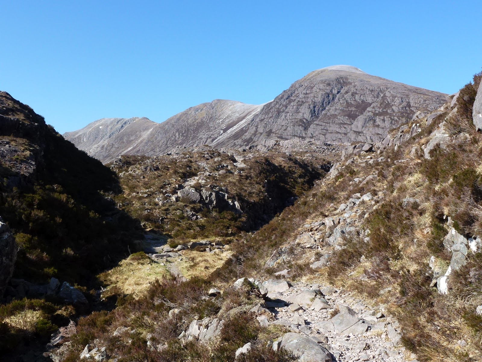
| Sgurr nan Ceannaichean |
[googlemaps https://maps.google.com/maps?f=q&source=s_q&hl=en&geocode=&q=Achnashellach,+United+Kingdom&aq=1&oq=achna&sll=57.491107,-5.261421&sspn=0.033028,0.120678&t=p&ie=UTF8&hq=&hnear=Achnashellach&ll=57.482064,-5.33309&spn=0.013842,0.025749&z=14&iwloc=A&output=embed&w=300&h=300]
Mon 19th March
Into Lochcarron to buy a small selection of supplies including lamb mince from the butcher and oat cakes from the Spar. After putting the shopping back in the cottage we set off for a driving tour as it is very wet. We’ve got all the gear in case it dries up. First the single track A road to Torridon. We drop in at Shieldaig and get more postcards in the shop. Raining a lot. Then Torridon which is mostly shut including the cafe with the nice coffee. The season seems to be April to October which means most of the possible eating places are shut. We drive up a steep mountain road and stop in a car park for lunch in the car. There is a fence round the car park which is keeping out the rhododendrons. Very like the triffid fence. We both entertain ideas that J Wyndham got the triffid idea from these destructive plants. They are especially pervasive around Torridon and in parts have grown to be about 5m in height which is killing off the native pines.
Then out towards Kinlochewe passing the Whistle Stop Cafe which is open but we are not hungry. It’s in a tin shed. However its customers rate it highly. We go out on the road towards Gairloch and peer through the rain spattered screen at Loch Maree and then back via Achnasheen. Driving into the weather is vile. Back to the cosy cottage where I cook up baked potatoes, sausage casserole and veg. C does a washing load which takes forever.
Tues 20th March
It’s not actually raining today but there’s still a lot of low cloud. We drive along the road east to Achnashellach station which is a train station on a private estate. Our plan is to walk up to the Coulin pass and back in a circuit. Almost immediately we have to change our plans as logging is taking place on a big scale so we will have to do a linear route up and back.
The path is good and we follow the railway line for a while then rise up gently passing all the logging work. This mostly involves whacking the trees over and grabbing them as opposed to cutting them down. Some big logs were being loaded into piles along a wire.
The wide path peters out and then we go through a piny dell up and across the hill to meet up with the path we had wanted to take. A short clip to the pass with good views across to the Coulin forest and Glen Torridon beyond. We turn back stopping for a quick lunch on a log. Then retrace our steps back crossing the railway line.
Back to the cottage for a short while then out again and a fast drive (yes, this is still possible here) to Kinlochewe for dinner. We see some brilliant views, shafts of light glowing over the evening hills and a panorama down the valley to Kinlochewe with Loch Maree (it used to be Loch Ewe) and the Torridon range as a backdrop.
Dinner is at the Whistle Stop Cafe where fried green tomatoes are indeed on the menu. It’s a tin shed and is a bit chilly although it does have a big wood burner.
We both have chicken, mine stuffed. Both my first 2 choices are not available tonight neither is my first choice of drink. That apart, our food is all freshly prepared and very nice. Mine comes with pesto and pasta and thankfully not too much chorizo which I don’t like. The staff are very cheerful and friendly. Carol eats yet another sticky toffee pudding just in case they go out of fashion. We are warned to watch out for deer on the road and consequently I drive back at 40mph. We don’t see any deer and it takes the same amount of time to get back as it did to get there at 60mph.
I switch the lights on as we go in and the fuse blows. I know the torch is near the door and feel for it, the first thing I find is scratchy plant (dried lavender). Carol knows where the fuse box is so we soon get sorted out.
I bake some bread but forget to grease the tin. It tastes nice but will be in big chunks.
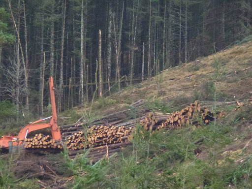 |
| Logging |
 |
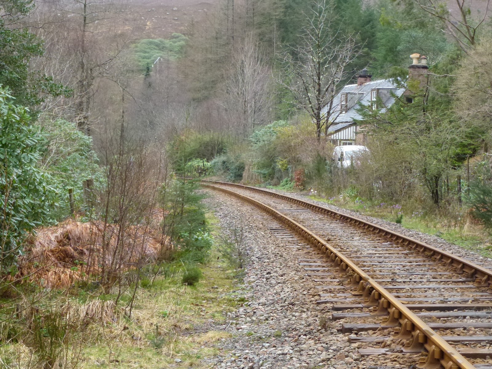
| Achnashellach station house |
 |
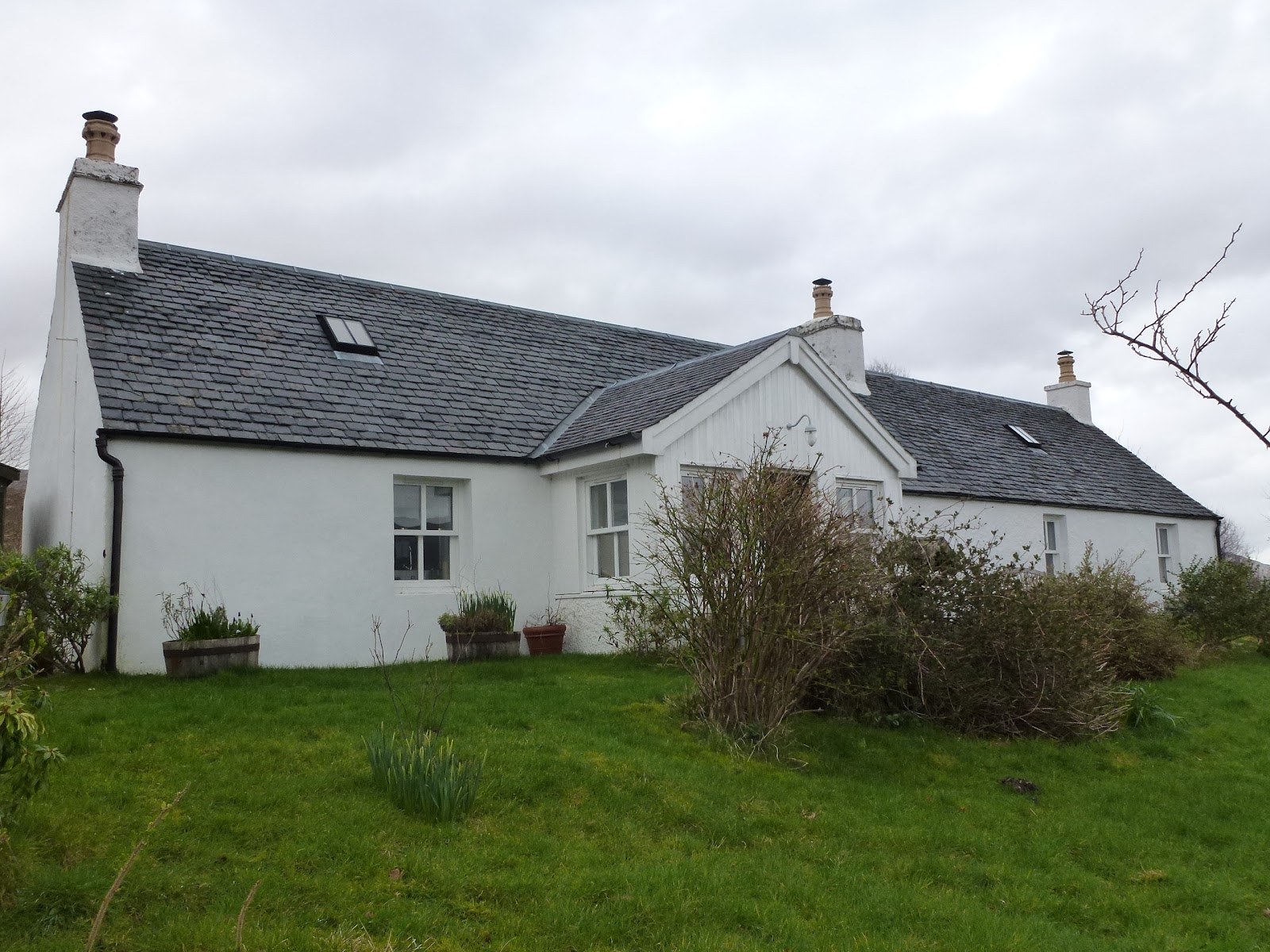
| Stalker’s Cottage |
 |
| This is Loch Chroisg near Achnasheen |
[googlemaps https://maps.google.com/maps?f=q&source=s_q&hl=en&geocode=&q=Achnashellach,+United+Kingdom&aq=1&oq=achna&sll=57.491107,-5.261421&sspn=0.033028,0.120678&t=p&ie=UTF8&hq=&hnear=Achnashellach&ll=57.482064,-5.33309&spn=0.013842,0.025749&z=14&iwloc=A&output=embed&w=300&h=300]
Weds 21st March
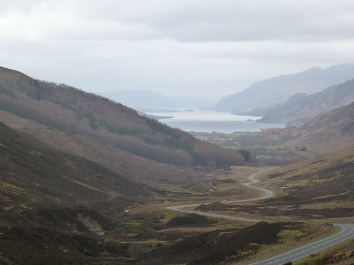
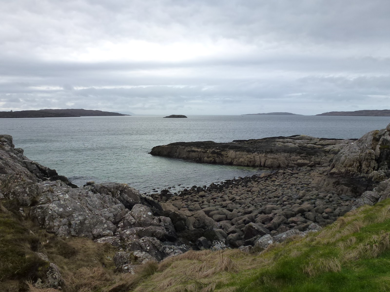
As we eat a late breakfast we receive a visitor, he is wearing a deerstalker and says his name is Eek, he has a strong scouse accent so to be honest I’m not entirely sure what he did say but he was wishing to go to the shed. We head off for Gairloch. A short break at the head of Glen Docherty looking down Loch Maree to take a photo. We wiggle round Loch Maree but mostly it’s a very good road only single track at either end of the journey. Investigation of Gairloch shows a few shops and a nice bookshop with cafe, the books are all travel and exploration. We park up at the old cemetery and walk along the beach, past where there was a fort on a bit of headland and then we stop for lunch on a bench overlooking the sea. Over to the harbour where there is a gift shop so we chat to the man in there. Finally we get walking and go up the side of Flowerdale House which is a large Georgian house. The current factor doesn’t want walkers looking in so he has put black netting up to stop the hoi polloi from peering in. We do in fact still see quite a bit. It would be better if he had forked out a bit more and just built the wall up. We follow the stream all the way up to the waterfalls passing some Shetland ponies where there is a ford in the stream. The lower falls are in a lovely spot and it is possible to go further up to more falls. We return to the car nipping by the side of the house and going through the woods until we come out at the new cemetery across from where the car is parked. On the way back we call in to Badachro which we had looked at for a cottage to rent out. It’s very pretty and in a great location, sheltered with islands on which the cottage sits. We had rejected it in the end as it was reliant on tides so would have been a bit hard if we had missed the time when the causeway was available! Back to the cottage stopping several times for photos. C has sandwiches and I have a baked spud for supper.
 |
| The view to Kinlochewe |
 |
| Gairloch |
 |
| Inland from Gairloch |
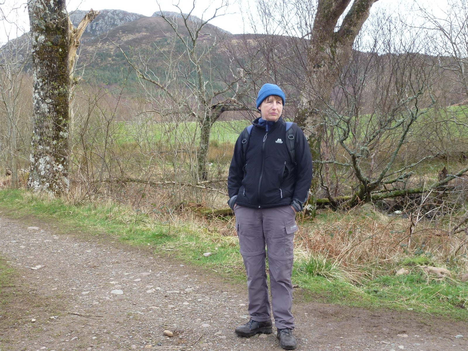 |
| Path through Flowerdale |
 |
| Can’t remember, a famous mountain though! |
 |
| From shores of Loch Maree |
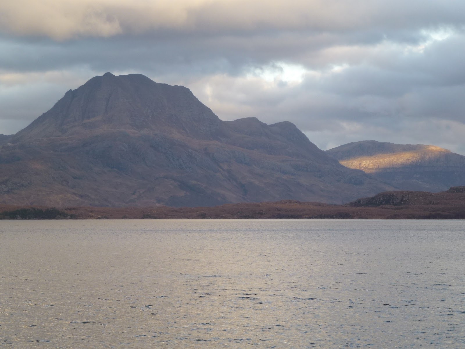 |
| Slioch |
[googlemaps https://maps.google.com/maps?f=q&source=s_q&hl=en&geocode=&q=Gairloch,+United+Kingdom&aq=0&oq=gairloch&sll=57.729017,-5.68594&sspn=0.016406,0.060339&t=p&ie=UTF8&hq=&hnear=Gairloch,+Highland,+United+Kingdom&ll=57.72904,-5.68594&spn=0.013748,0.025749&z=14&iwloc=A&output=embed&w=300&h=300]
Thurs 22nd March
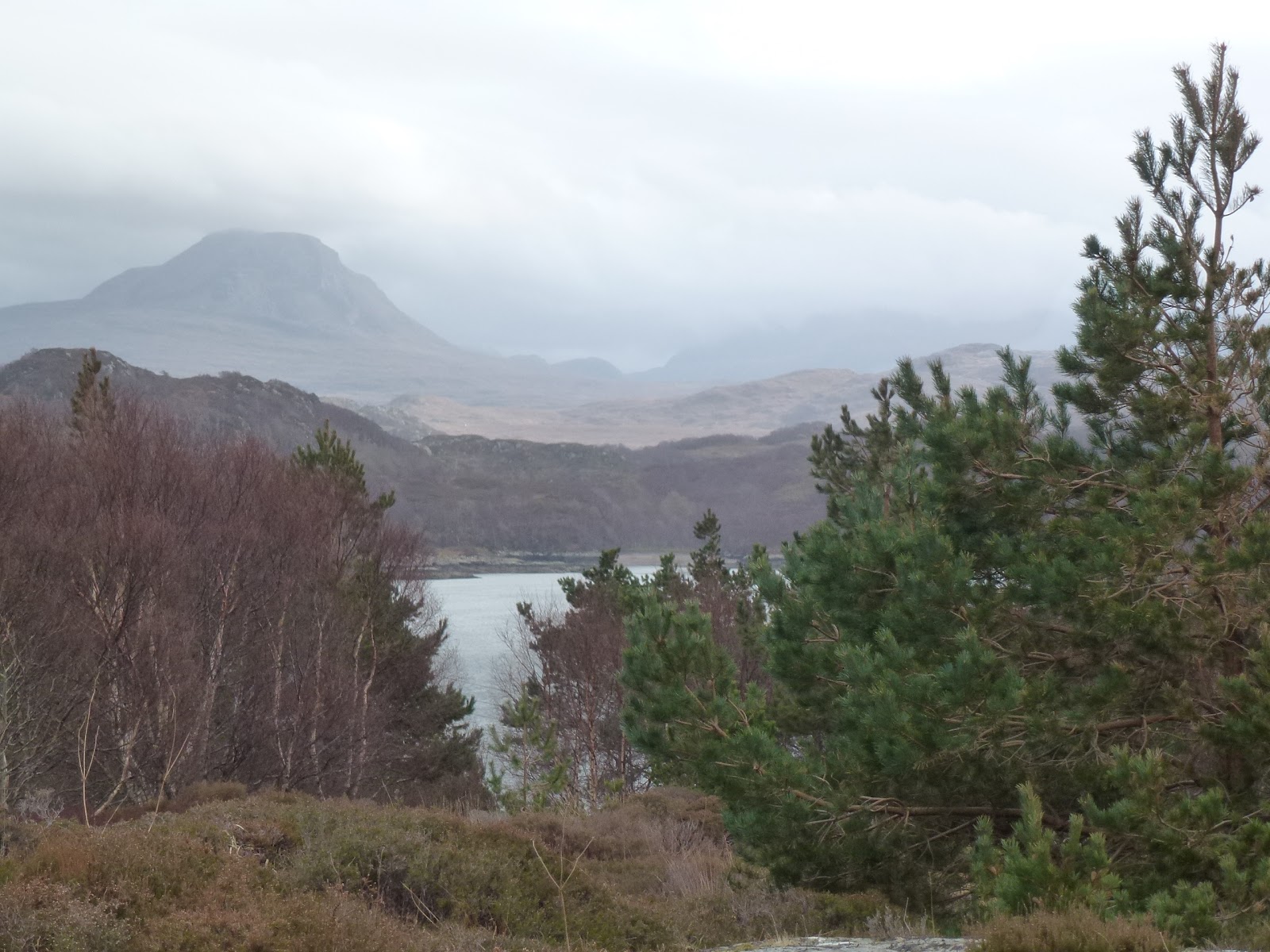
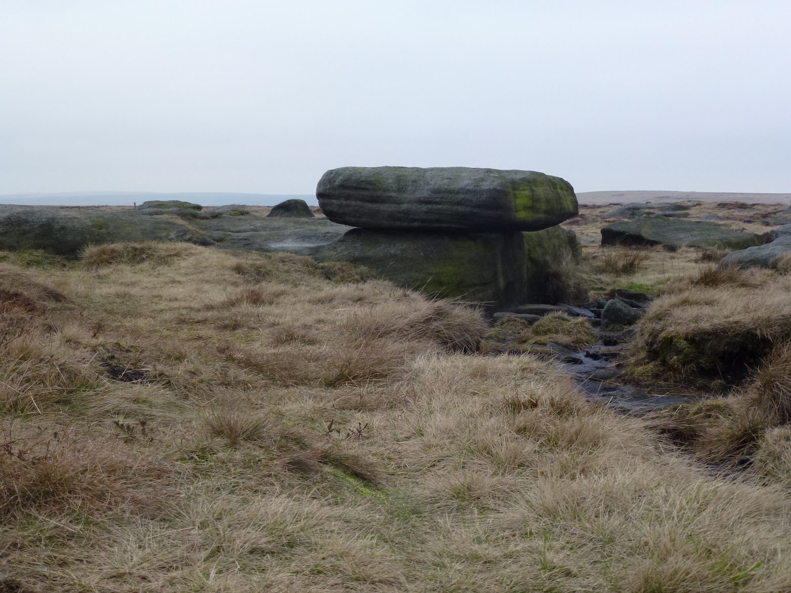
A beautiful day, the sun is shining and it’s warm. We get out early and drive to Achnashellach station. A train is due and we get chatting with a woman who lives in the old station house and who is about to take the train. This time we turn left away from the timber operations and follow a good track. The map says to go up through a forest but the path says to turn left so we follow the map and effectively cut off quite a corner but we come out onto the inevitable bog and make our way to the fence which has no regular stile but a sort of ladder affair which we use. A jolly chap then appears from a very good path which is what we should have taken and comments that we have taken the “interesting route” and so we did because we saw an enormous boulder and a pond in the forest. He teaches us a bit of Gaelic, he is going up to Fuar Tholl which is pronounced Phwoar Yoll! Of course he could have been having us on, how would we know? But he seemed a nice man, he’d done all the Munros and is now on the Corbetts. We take the very good path up to a junction and head down to the burn where there is a ford. A couple is also trying to cross it and they do but we decide it’s really too wide and too difficult to do it let alone to come back that way. So we retrace our steps and stop for lunch looking at a vast glacial expanse. This is Drochaid Coire Lair. Drochaid means bridge but none actually visible. It’s the middle of an enormous saddle at the end of a vast moraine. It’s too far to go up to the Loch so we turn back and descend. This time we stay on the proper path and skirt round the forest following the stream. Very beautiful.
We drive back to the cottage for a quick refresh and then out again to look at Achentraid and Kishorn. We stop for a brew of tea (Carol) and hot chocolate (me), brewing up looking at the Bealach na Ba. Then a small stop at Courthill House which is ruined and its chapel which is still in use.
Driving back through Lochcarron, I stop at Rockvilla and the owner tells us she is not open until after Easter, she is very friendly and seems almost rueful to be losing our custom. She tells us some more about the landslip and the road being built on a fault and some of the politics.
Back to Stalker’s Cottage for baths and shepherd’s pie. Despite me turning the Rayburn down a bit every day it is still really really hot and I am well roasted. I’m sunburnt too which doesn’t help. Sitting here in my T-shirt gently radiating heat.
We went out for a stroll down the lane with our head torches. There are so many more stars here than at home, it was hard to identify the ones I do know but in the end I found Orion’s belt, but not his trousers, C found the Plough and then we got Polaris from that. I still failed to find Cassiopeia, not a very good day for navigational success.
I have turned the Rayburn down quite a lot now after having to go online to get instructions for it. The owner of our cottage is Lady Scarsdale of Kedleston Hall in Derbyshire and her son lives there and she lives nearby. The hall is now owned by the Nat Trust and Curzon Jnr has a wing to live in with 23 rooms.
 |
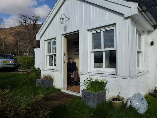
| Porch at Stalker’s complete with stalker |
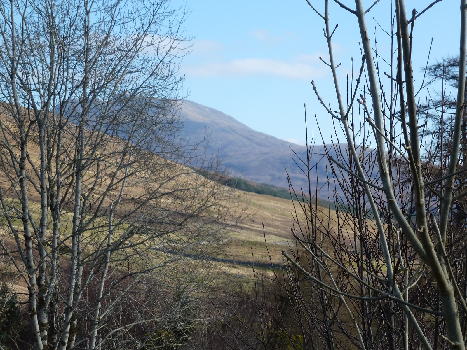 |
| View from Stalker’s |
 |
| Achnashellach station |
 |
| A Corbett |
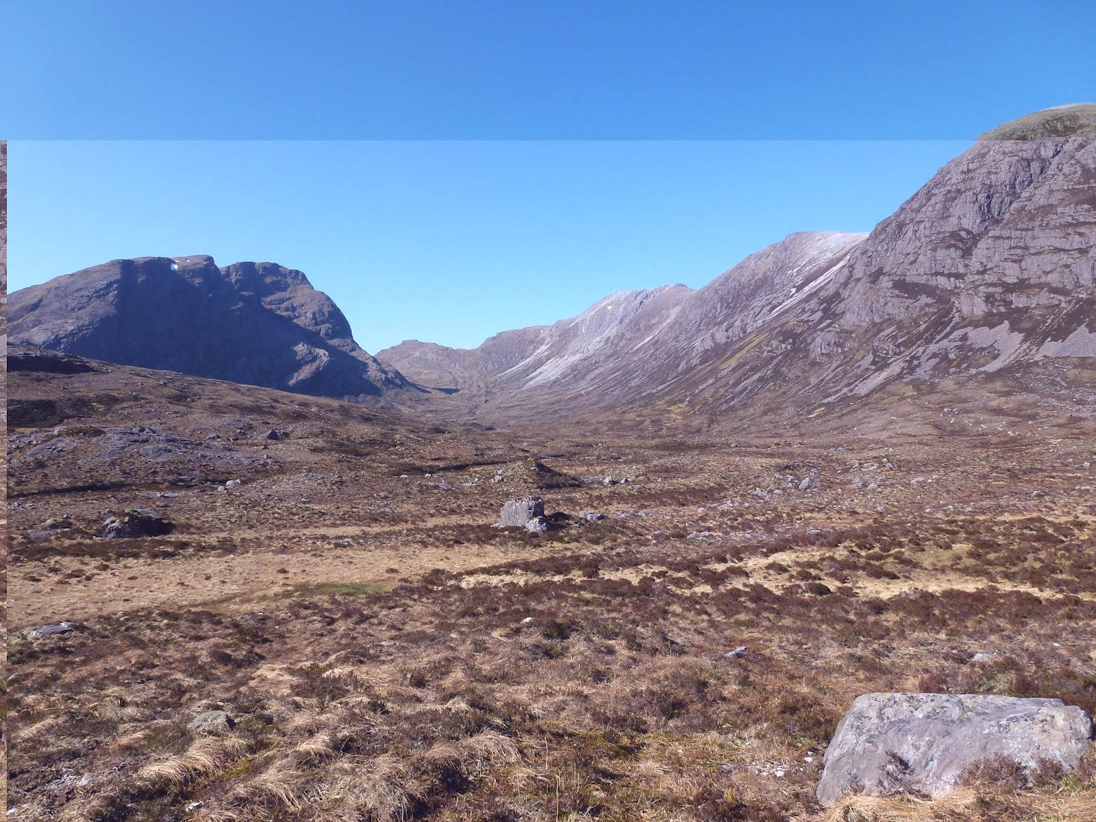 |
| Loch is behind big lump on left so quite a way to go |
 |
| More big lumps |
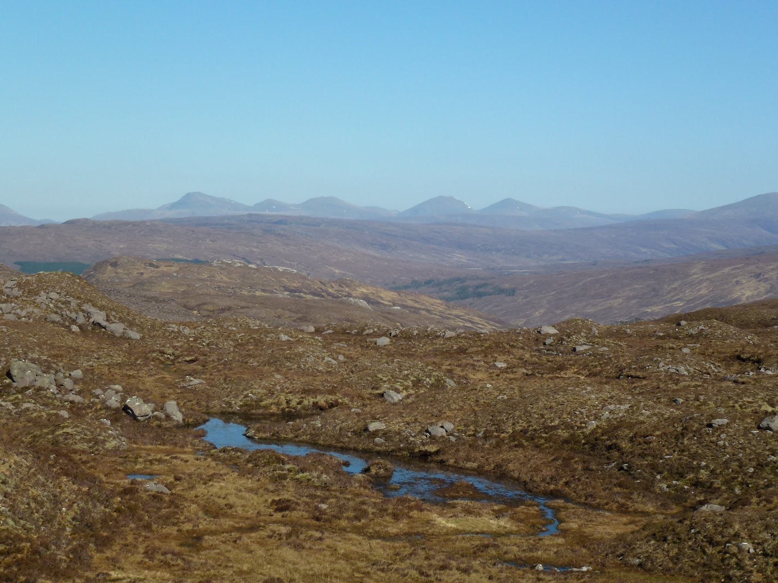 |
| The vastness |
 |
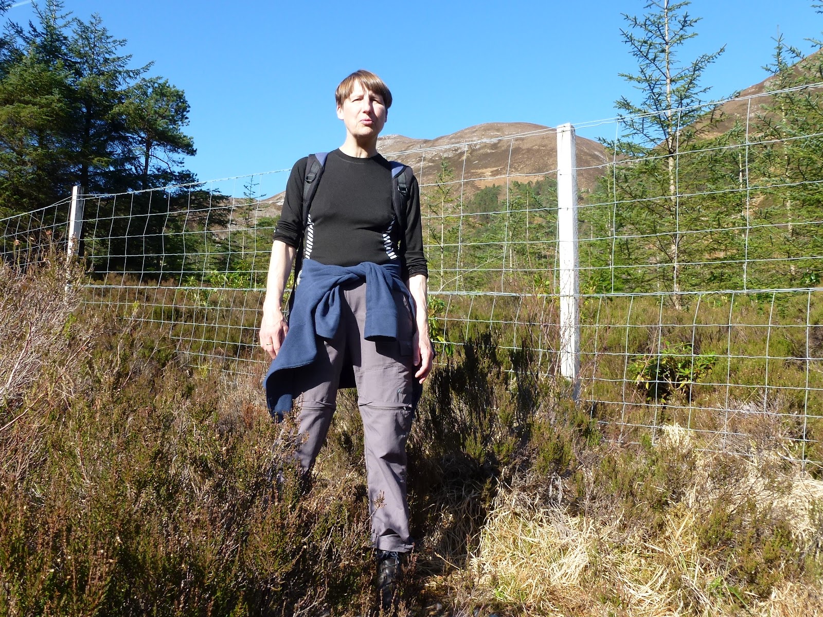
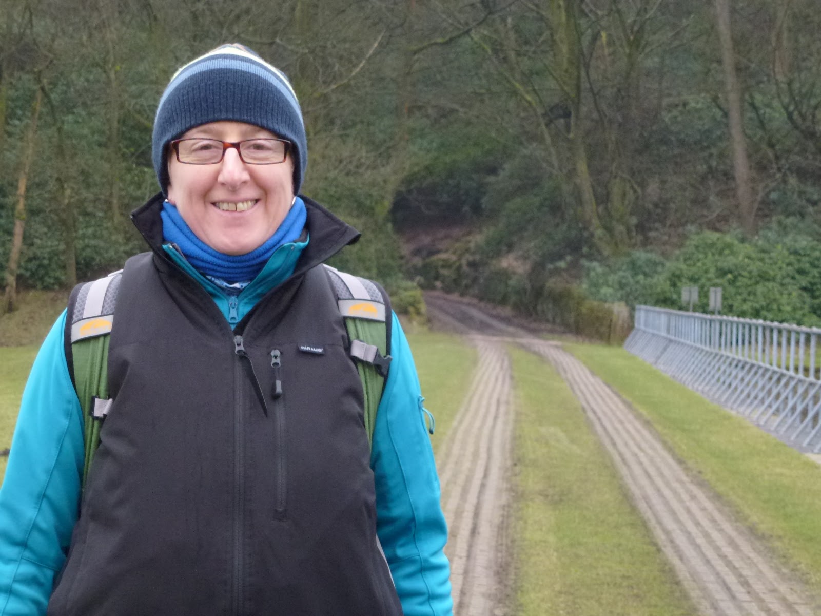
| Walker not stalker |
 |
| Towards Achnashellach |
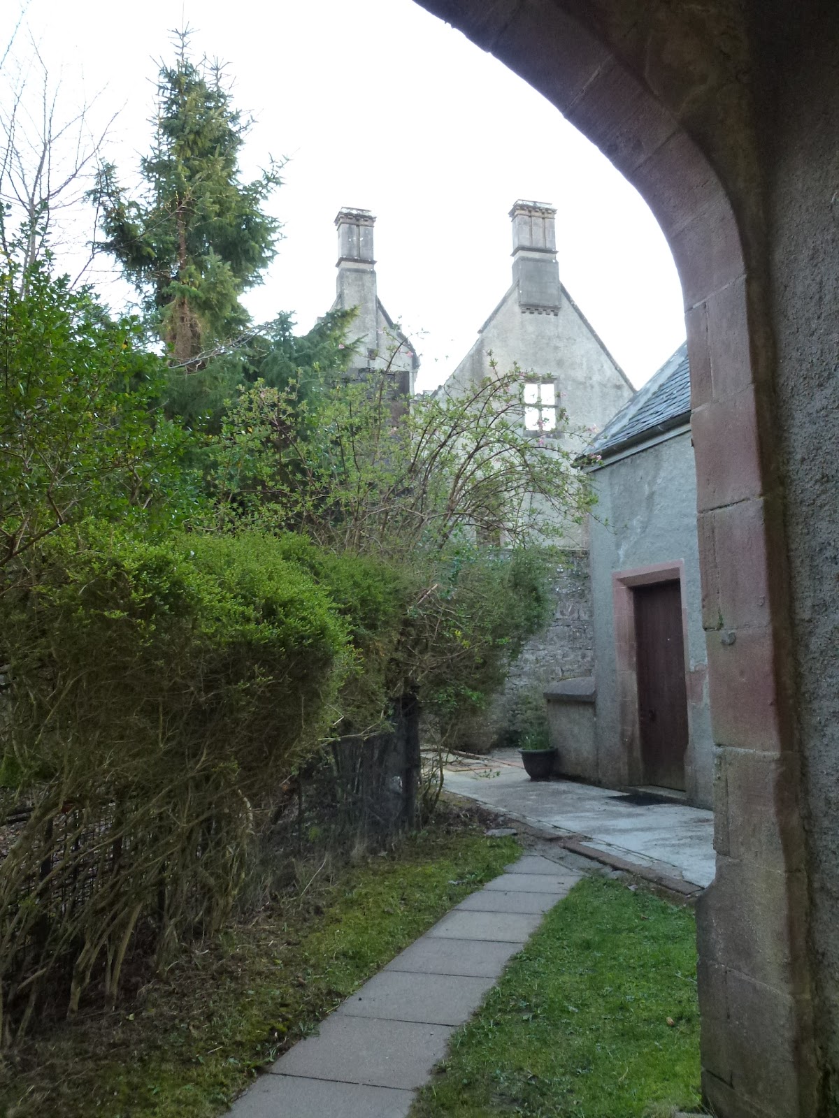 |
| Courthill House |
 |
| View from Stalker’s (Loch Carron) |
[googlemaps https://maps.google.com/maps?f=q&source=s_q&hl=en&geocode=&q=Achnashellach&aq=0&oq=achna&sll=57.728215,-5.693922&sspn=0.016406,0.060339&t=p&ie=UTF8&hq=Achnashellach&hnear=&radius=15000&ll=57.482064,-5.333176&spn=0.055367,0.102997&z=12&output=embed&w=300&h=300]
Friday 23rd March
Another lovely day, so up promptly and I whizz in to Lochcarron to buy steak and spuds. We drive to Strathcarron and park up at the station. Into the shop to see the very chatty owner who tells us lots of local gossip, more about the very contentious landslip and road. He says that Lady Scarsdale is “a real character”, the second wife of deceased Lord Scarsdale who died of emphysema.
Eventually we get going and it’s just a few yards from the station to Achintee and then a good hike up to Loch an Creadha. Today I’ve got my eye in on the navigation and everything is pretty much where it should be! Although I do take us on 2 more difficult sides of a square as have failed to see the path. We have to traverse several burns most of which are little more than a step across. Just before the loch we have to get through a big boggy bit with deep peat hags, then across a burn. This is much easier than yesterday and we cross successfully and sit near a stream by the loch for our lunch. It’s a bit windy and has clouded over. After lunch we head back the same way and this time crossing the burn is more challenging but we both get over. We take the correct 2 sides of path and it’s easy to see why we took the wrong one. On the way back we see the trains from Kyle and Inverness meeting at Strathcarron station. At Achintee we chat to a man at the fish packing shed. Back to the car and back to Stalker’s to pack up. Don’t want to go back to work but at least we have two more days of holiday, even if they are on the road!
We eat excellent value fillet steak from the Lochcarron butcher although hard to cook as Rayburn not good for grilling and Baby Belling grill not working. We watched some more Downton Abbey.
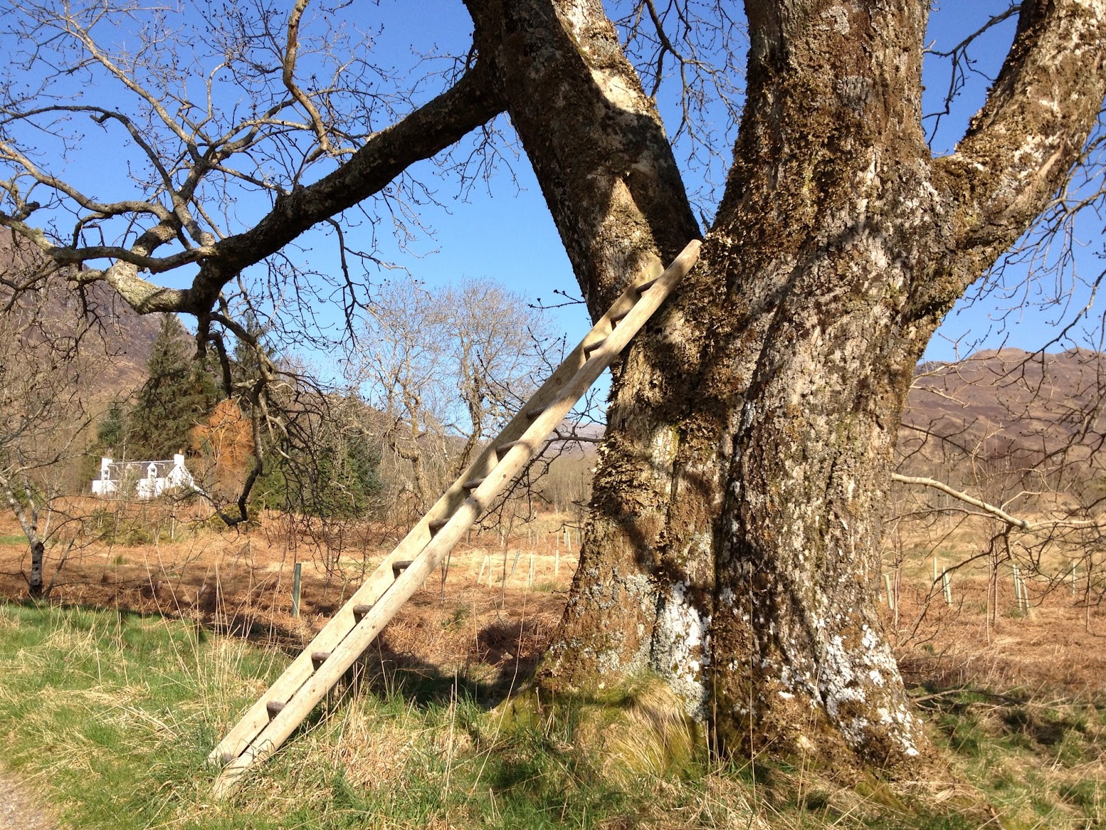 |
| The ladder up the tree (missing a rung) |
 |
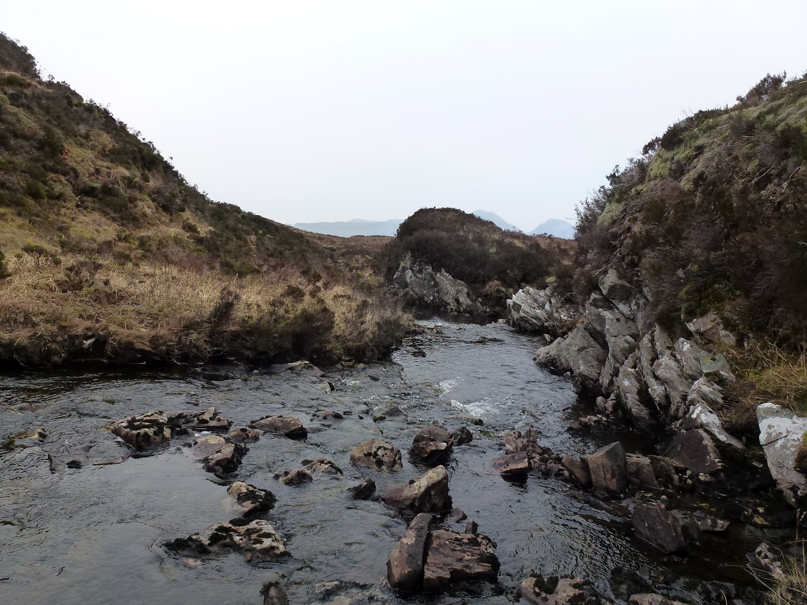
| Burn at Loch an Creadha |
 |
| Picnicker |
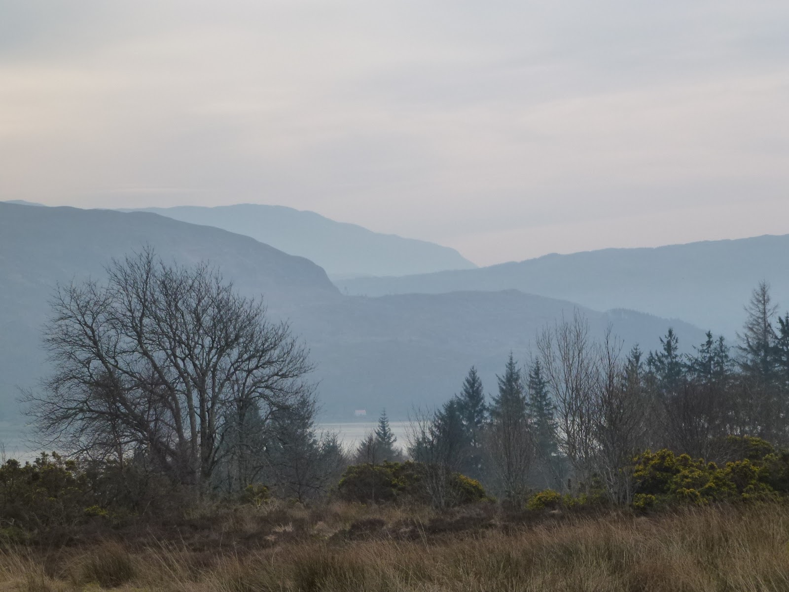 |
| From Stalker’s |
[googlemaps https://maps.google.com/maps?f=q&source=s_q&hl=en&geocode=&q=Strathcarron+Post+Office,+Strathcarron,+United+Kingdom&aq=2&oq=strathcarron&sll=57.405485,-5.447931&sspn=0.016553,0.060339&t=p&ie=UTF8&hq=Strathcarron+Post+Office,&hnear=Strathcarron,+Highland,+United+Kingdom&ll=57.423536,-5.429006&spn=0.006932,0.012875&z=15&iwloc=A&output=embed&w=300&h=300]
Saturday 24th March
Set off smartly as we had packed up before our steak dinner last night.
On the journey we stopped at Fort Augustus for the loo, Invergarry but our coffee hotel was having a wedding So we went to the next one along which turned out to be proper old fashioned hotel (Glengarry Castle Hotel) overlooking Loch Oich. More copies of Scotfish Field. Very strong coffee and delicious shortbread Then stopped for lunch by roadside. And then just kept on wending our way through the highlands. It was the first time I’d really been able to see Ben Nevis properly. Stuck behind a caravan forever. Stopped for diesel just as came into Glasgow and again for loo just after. The M8 has lots of perjurations or do I mean admonitions? Telling us to check tyres, check fuel, tie children into safety seats that I feel thoroughly harangued and nagged. Last bit from motorway through Lanark was very wiggly and both tired. Found our b&b which is in the middle of nowhere. Nice shower and then we set off from Doreen’s (emphasis on the 2nd syllabub not the 1st) down the very dark lanes and across the Tyne over an old single track bridge. The Cornhill House Hotel is down a long lit drive and is Scottish baronial but not posh and we get 2 course deal for £14.50. I have mini haggis starter which is great and realise I have missed out by not having it before. Then I have Balmoral strips of beef in whisky sauce with rice and veg. Carol has pork saltimbocca which looks nice and then a sticky toffee pudding, the third in a week! I finish off with a Laphraoig. Back through the lanes in the very dark. Trains go past nearby which is quite odd as we are in middle of a field but line to Edinburgh is near. Carol not feeling too well which worries me but eventually get to sleep.
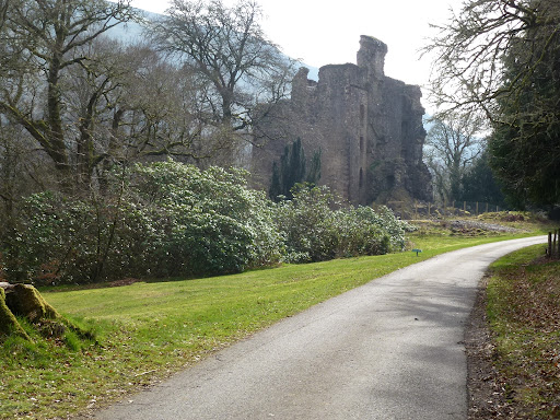 |
| Glengarry Castle |
 |
| Somewhere near a loch |
 |
| Road movie sky, never mind the single track A roads being empty |
Sunday 25th March
Carol and I have become useless at remembering the clocks now that we no longer have Muriel to remind us. Luckily we wake early enough to make breakfast at 8.30 which is still an hour earlier to us. Carol is feeling a bit better after sleep. I managed to wrap myself into a parcel in bed as was a bit worried and didn’t like C to have any pain.
Doreen breeds West Highland Terriers and while she went to see to them this morning, four of them escaped and have run off. Her husband hasn’t helped so she is clearly worried as the train line is behind the bungalow. Husband does go off in the Land Rover to look for them. We promise to do the same on our way out but we don’t see them. We wonder if they could have been stolen but all told this doesn’t seem to be the case.
We are now in Daylight Saving Time which means that the sun is due S at 13.00. When I was trying to fix it the other day, I thought the winter months were Daylight Saving but no, they are GMT so I was 30 degrees out the other day. I knew it was wrong but couldn’t work it out. Sometimes feel very stupid, it has to be said.
We stop at Allandale Water for coffee as Doreen’s was weak instant. I have a double ristretto which is like taking drugs rather than an actual drink! Stop at Tebay for supplies including lunch and supper. Then go off the motorway for lunch but the road we pull onto is a bikers’ route and they are having a meet by a river so hundreds of them whizzing around and not very relaxing. I have a rant about Think bike, think biker when a motorcyclist overtakes me as I, having of course checked and indicated, am overtaking a pedal cyclist with lots of consideration for width from them. The bloody gormless idiot of a biker should be shot. Think bike, think pushbike. I am happy to think about bikes, but equally bikers need to ride with due consideration for all other road users too. Of course, I’m an ex biker as well as an ex smoker and “they’re the worst!”
Then we get back on the motorway and head for home. Nice to be home but would be even nicer if we had phone and Internet.
Please visit Map and Compass and learn how to interpret a map with me and my navigation partner, Cath.