Springy walks 2016

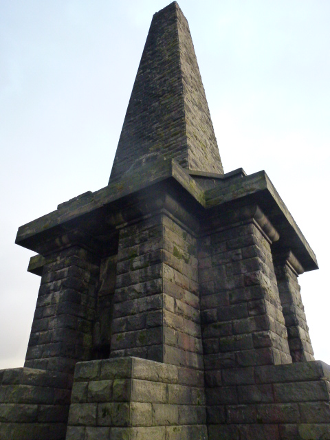
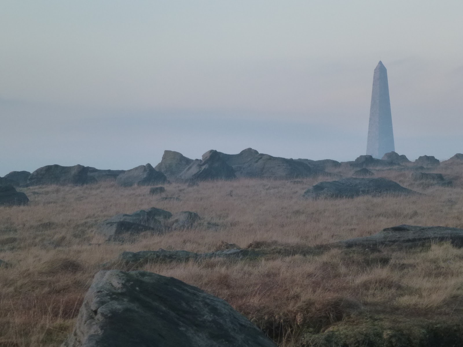
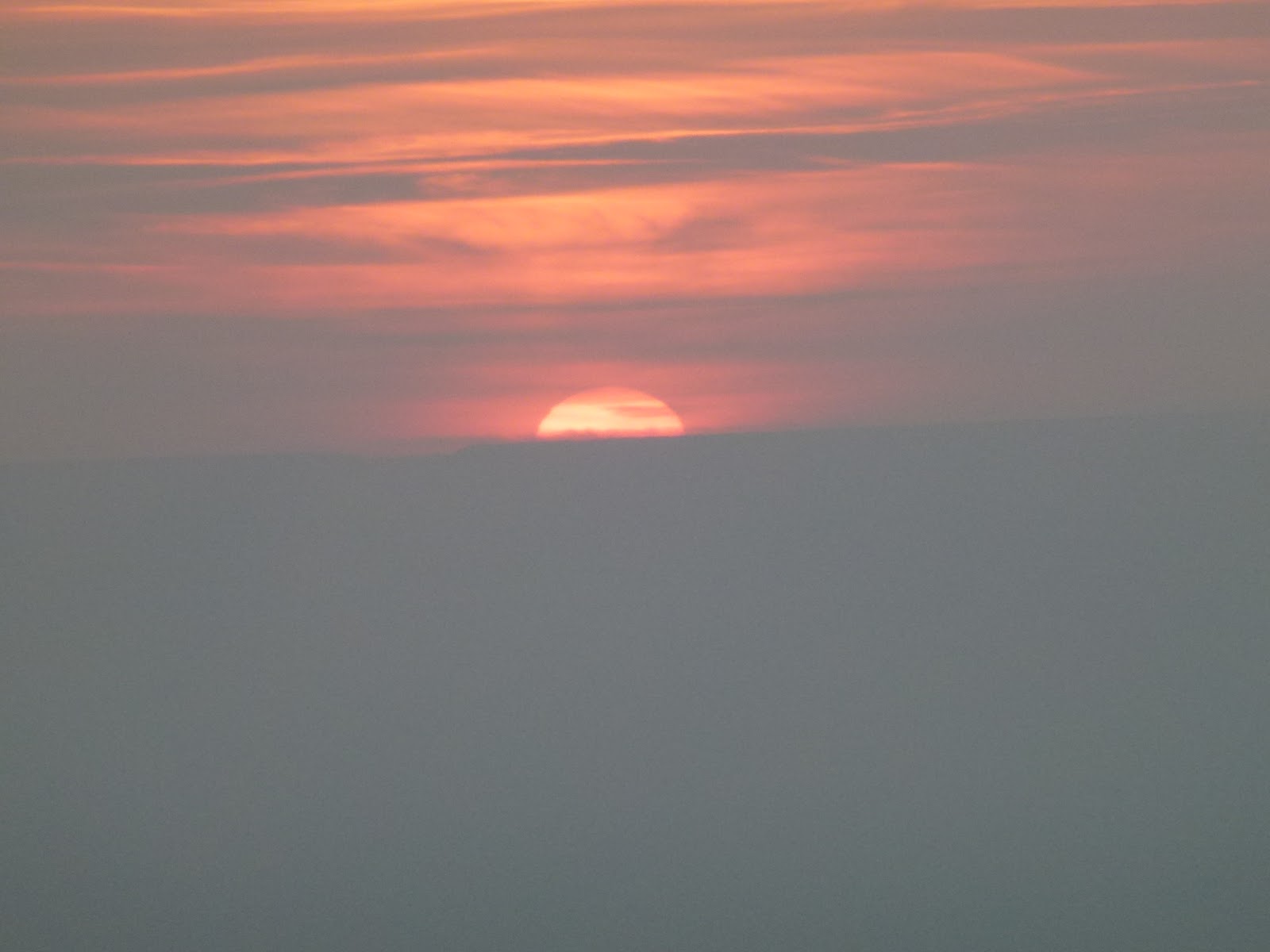
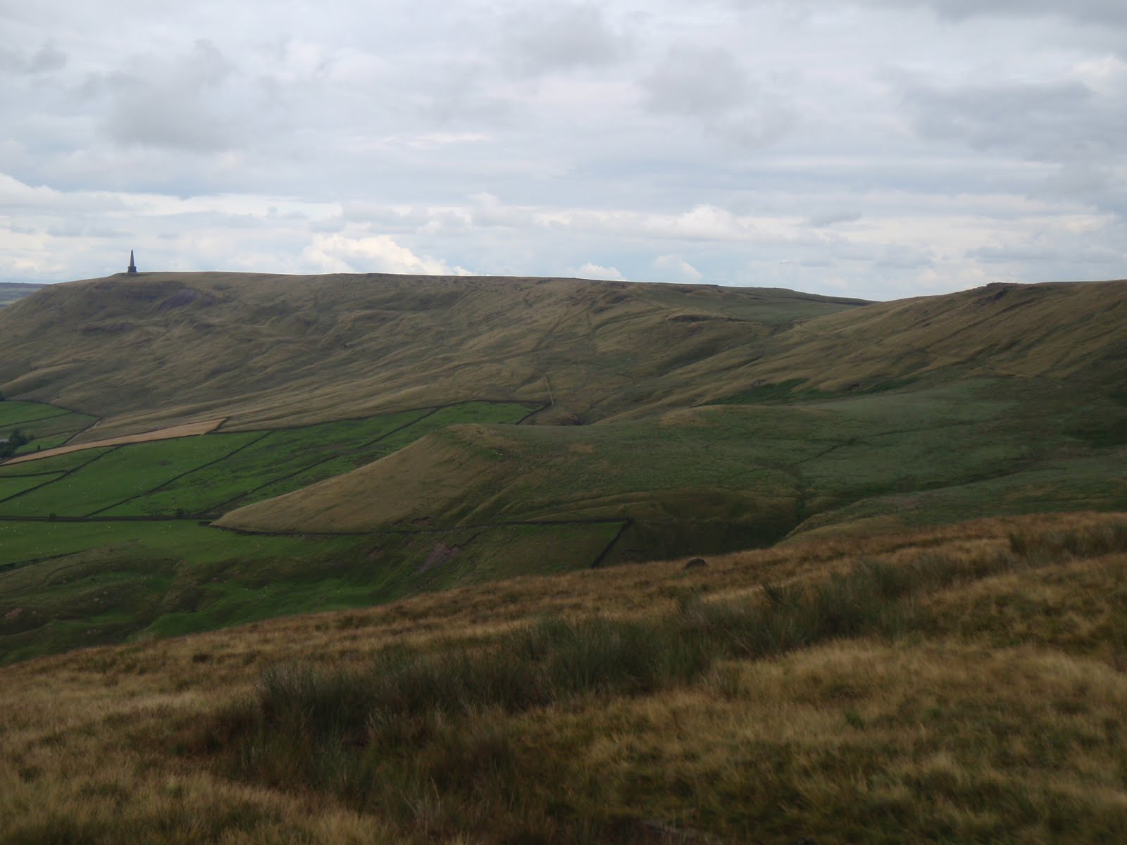
Stoodley Pike from Withens Clough 14th February

Fantastic bright day with deep light resolution.

IMG_0095IMG_0099

P1040596


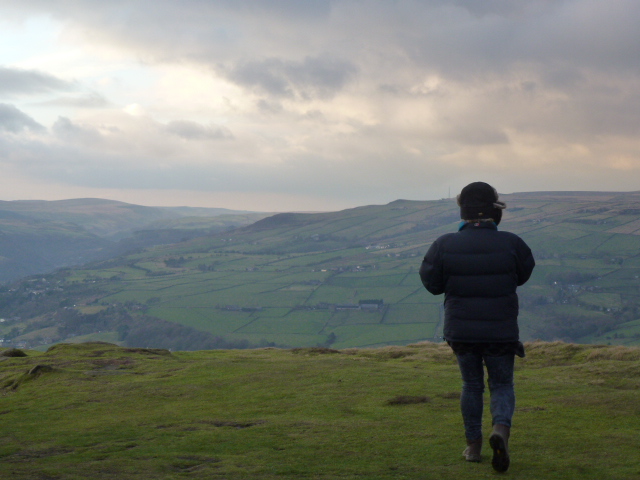
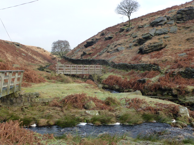
Crimsworth Dean 25th February

Evening walk.

IMG_0137

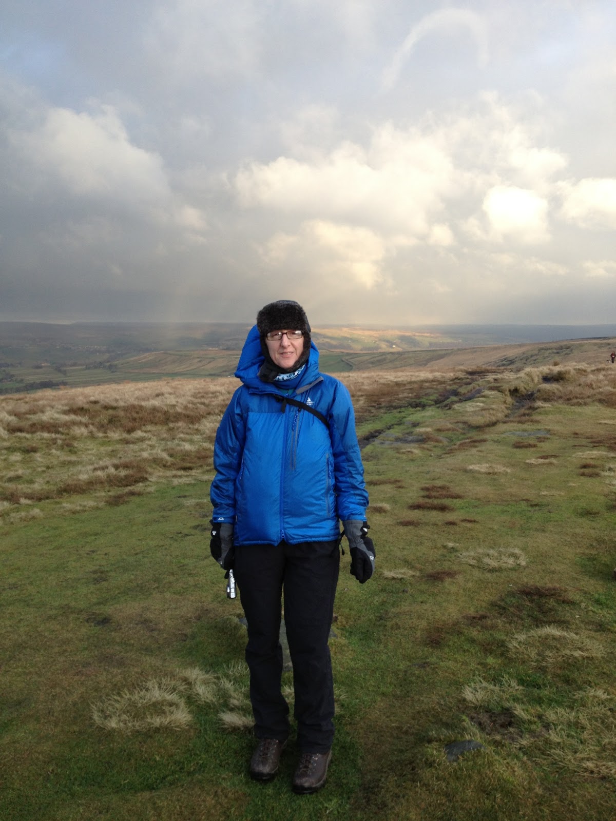
Erringden 27th February

Bronze NNAS course.

IMG_0141

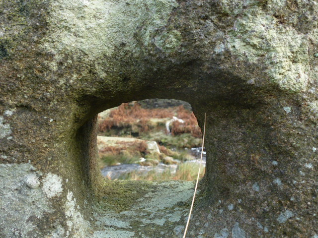
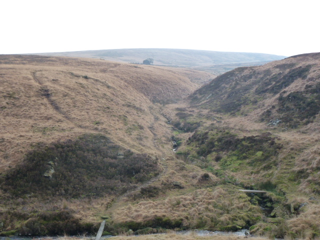
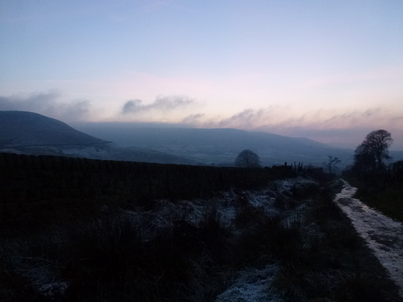
Crimsworth Dean 6th March

Chilly hill circuit, snow on the ground

IMG_0162
St. Ives that way

Brynarth near Lledrod 12th and 13th March

IMG_0176
It’s a Humphrey

IMG_0172 IMG_0179 IMG_0181 IMG_0185 IMG_0170 IMG_0189

Walsden and Quaker graveyard 25th March

From Todmorden along the canal and then up. Great walk for friend’s new hip!

Indeed
Indeed
Silly goose
Silly goose
Was not expecting this
In the Quaker graveyard

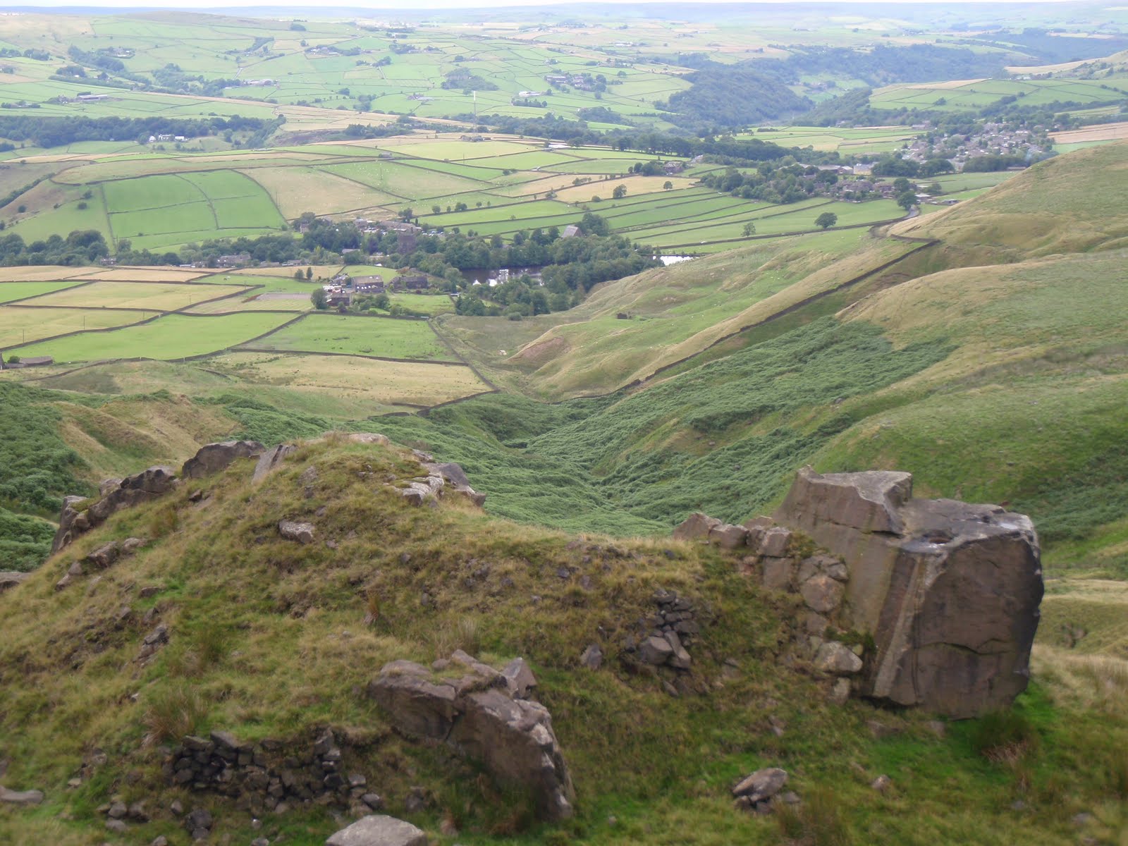
Hardcastle Crags circuit 6th April

Great route, just a small problem with horizontal hailstones. Evening walk. Too difficult for photos!

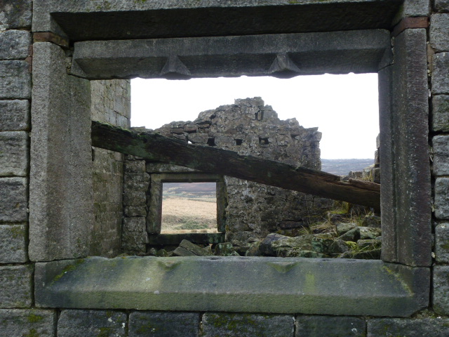
Top Withins 10th April

Reccy for the Brontes by dark, a night walk I’m planning for the South Pennines Walk and Ride Festival in September, hoping to make the most of the Bronte festivities this year. I may even have to re-enact Heathcliffe and Cathy by semaphore.

From the Bronte Bridge
Top Withins
Top Withins

IMG_0415

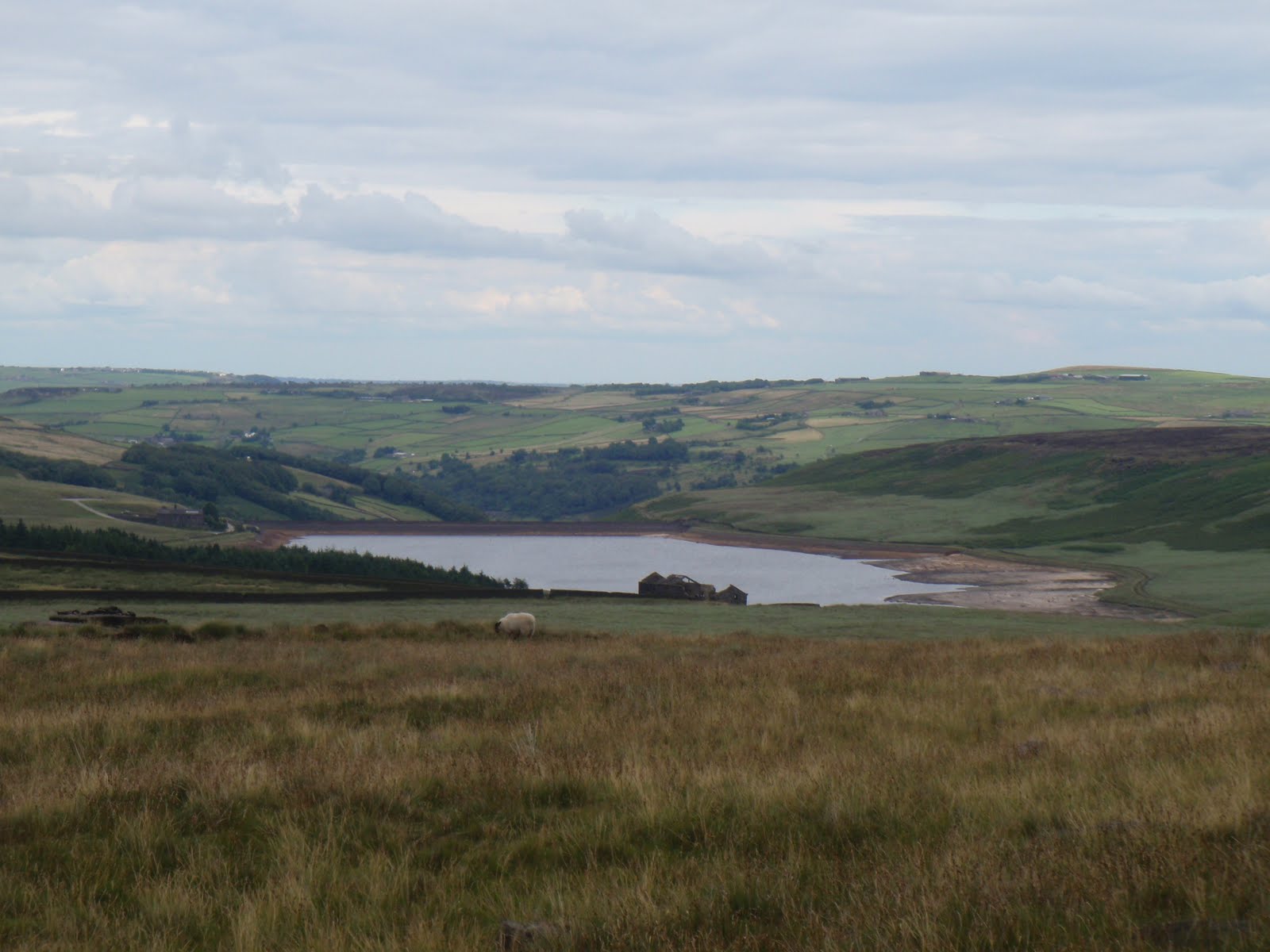
Widdop towards Burnley 17th April

I was looking forward to this so it was irritating that it was marred by 2 off road motorbikes and a quad bike, all without plates, using bridleways and also a footpath. They were busy illegally churning up the paths and the moor and   bog. I had planned a circuit but they were on the same route as me so I went out and came back the same way.

P1040775
Widdop reservoir
P1040749
Widdop reservoir, last bit of sun
P1040787
Sun down over Widdop

P1040762 P1040768 P1040786

Please visit Map and Compass and learn how to interpret a map and use a compass with me and my navigation partner, Cath.

MAPandCOMPASS

Winter walks

20th December 2015 – Cat Stones, Rishworth

Fine until it got too hard to cross any more bog because it became a river.

IMG_1188 IMG_1189

2nd January 2016 – Widdop

A reccy with Cath, in perfect no visibility conditions!

IMG_1242 IMG_1245

10th January 2016 – Widdop

Another reccy with Cath, much brighter and colder day.

IMG_0015
Reaps Cross

17th January 2016 – Stoodley Pike

In the snow.

IMG_0037
Stoodley Pike

IMG_0041

31st January 2016 – Widdop

With Maureen, so very soggy from every angle.

IMG_0082
Walshaw Dean reservoir (middle)

IMG_0080

14th February – Withens Clough and Stoodley Pike

Almost felt glad to be alive. Beautiful day with deeply intense light.

Song of the day: Badlands

Bruce at TempeP1040596 P1040594 P1040602 P1040599 IMG_0099

Please visit Map and Compass and learn how to interpret a map and use a compass with me and my navigation partner, Cath.

MAPandCOMPASS

Winter walks January 2013

Saturday 12th January 2013
Chris and I did a quick up and down Stoodley Pike. For me this was a warm up for the following day. I coughed all the way up to the pike and it was bitterly cold in the wind. But lovely to be out and walking again after what felt like a long gap. The last real exercise I had was at the end of November on the bitterly cold bike ride from Todmorden to Mytholmroyd in the Valley of Lights. Then I was floored by the evil flu from hell and only went back to work on 7th January. Lovely to actually feel well despite the cough.

Chris and furry ear
The mighty prong of Stoodley Pike!
Mincing! I did exactly same pose when I was 19, the one and only time I’ve skied.

[googlemaps https://maps.google.com/maps?f=q&source=s_q&hl=en&geocode=&q=Stoodley+Pike+Monument,+Todmorden,+United+Kingdom&aq=1&oq=stoodley&sll=53.741347,-2.012077&sspn=0.018173,0.060339&t=p&ie=UTF8&hq=Stoodley+Pike+Monument,&hnear=Todmorden,+West+Yorkshire,+United+Kingdom&ll=53.715301,-2.07058&spn=0.015238,0.025749&z=14&output=embed&w=300&h=300]

Sunday 13th January 2013
I met Cath at Hebden Bridge railway station and we drove up to Widdop. The road past Maureen and John’s house is shut off so we had to go through Heptonstall but this was lovely for a change. The road to Widdop was very frosty.
We set off and basically did a 6 mile circuit that took in Reap’s Cross which is missing its crossbar, then Raistrick, up to the old scout hut, over to the big reservoir, around it and back along the permissive path by the side of it and back to the car, the last bit along the road.
Cath wanted to see a nice bridge that she remembered from when she’d done the Pennine Way and it was still there. We had an early lunch at Reap’s Cross (re-erected in 2002 by the people who live in the hills) and a second lunch much later on.
Fab day with lots of good conversation.

Cath’s bridge
The FBs
Cath sporting new Rab jacket and new mountain cap at Reap’s Cross
Ruin at Raistrick

[googlemaps https://maps.google.com/maps?f=q&source=s_q&hl=en&geocode=&q=Widdop+Reservoir&aq=0&oq=widdop&sll=53.715302,-2.070545&sspn=0.036369,0.120678&t=p&ie=UTF8&hq=&hnear=Widdop+Reservoir&ll=53.792387,-2.105684&spn=0.01521,0.025749&z=14&iwloc=A&output=embed&w=300&h=300]

Please visit Map and Compass and learn how to interpret a map with me and my navigation partner, Cath.

Stoodley Pike 15th January 2012

When I left our house it was -2.5C and thick fog, once up on Blackstone Edge the fog lifted (usually the most foggy place always) and the sun was out and it was a steamy 3.5C.
I popped in to see Chris and hear all about her trip to Cuba. It was lovely to see her and catch up, several hours and some Cuban coffee (lovely), Cuban chocolate (very nice), Cuban music (lovely), sniff of a Cuban cigar (not so lovely, smelt a bit like drains), I drove up to the base of the Pike.
I went up the stone steps as I worked out these would be more slippery later, they weren’t too bad most of the way. I stopped at the end of the wall to blow my dripping nose and was passed by a couple, the female of which was teetering down each step and who informed me that it was “like the everglades up there”. I know I am deaf in one ear but I was so staggered by this that it struck me dumb, just as well really. Here is a picture of said “everglades”, it was funny because in a very weird way it sort of made sense, at least I could imagine her gliding gently down the slope forever ….

The “Everglades”

It was a nice short walk right at the end of the day. I reached the Pike and came down the steep side which has become badly eroded since I was last there, which isn’t that long ago.

Returned via Cragg Vale, two black deer silhouettes crossed the road in front of me quite slowly, and back up onto Blackstone Edge which had recovered its fog.

[googlemaps https://maps.google.com/maps?f=q&source=s_q&hl=en&geocode=&q=Stoodley+Pike+Monument,+Todmorden,+United+Kingdom&aq=0&oq=stoodley+pi&sll=54.7,-3.05&sspn=0.071024,0.241356&t=p&g=High+Pike,+Caldbeck,+Allerdale+District,+United+Kingdom&ie=UTF8&hq=Stoodley+Pike+Monument,&hnear=Todmorden,+West+Yorkshire,+United+Kingdom&ll=53.715301,-2.07058&spn=0.015238,0.025749&z=14&output=embed&w=300&h=300]

Please visit Map and Compass and learn how to interpret a map with me and my navigation partner, Cath.

Save

Stoodley Pike 01 August 2010

Finally I did a walk I’ve had dreams of doing for years. Namely to walk along the ridge from the Pike to Chris’s house. I parked in the spot just below her house and took the path that goes up behind it and goes through Knowle Farm with its cattery, hens and peacocks. Continued to cross the Pennine Bridleway and then 400m further on took a very indistinct left fork to take me to the far corner of Gaddings Reservoir. I duly climbed the steps to check on the water level and it was not too bad, nothing like some of the reservoirs I’ve seen of late. Walked along the top parapet to the small beach at the corner and then along the wall of what looks like an ex reservoir. This then follows a drain along the edge of the cliff and basically wiggles around with the contour. The path eventually joins the Pennine Way on which it remains until Stoodley Pike. I could see over to Withens Clough reservoir which looked nearly empty.
I hardly saw anyone apart from a few people around the Pike. It took me just over 2 hours to reach the pike. I had a drink and then set off straight back as I was hungry and had weirdly forgotten to bring anything at all to eat. I made a good fast pace back. I had a small chat with a bloke just near Gaddings and then found he was behind me and there was no-one else in sight and this gave me the willies. I suppose it’s because it’s quite a lonely area. I set off across the indistinct path again and saw the man was still behind me. However he did have quite a big belly and so I increased my speed and managed to lose him. I fairly raced back through Knowle Farm and down back to Lumbutts Road. The return trip took just over and hour and a half. I did think about whether it would be possible to do it by bike but reckon it would be pretty uncomfortable let alone getting the ruddy thing up the Pike in the first place.

Withens Clough
Lumbutts

Gaddings

[googlemaps https://maps.google.com/maps?f=q&source=s_q&hl=en&geocode=&q=Stoodley+Pike+Monument,+Todmorden,+United+Kingdom&aq=0&oq=Stoodl&sll=54.52257,-3.381656&sspn=0.035667,0.120678&t=p&g=Ennerdale+Water,+Ennerdale+and+Kinniside,+Copeland+District,+United+Kingdom&ie=UTF8&hq=Stoodley+Pike+Monument,&hnear=Todmorden,+West+Yorkshire,+United+Kingdom&ll=53.715301,-2.07058&spn=0.015238,0.025749&z=14&output=embed&w=300&h=300]

Please visit Map and Compass and learn how to interpret a map with me and my navigation partner, Cath.

css.php