Chris and I set off from my house along Cycle Route 68, an unsatisfying number as it is neither 66 nor 69. We went through Krumlin and then down the very steep slope to the motorway tunnel. This is a tunnel under the motorway and it’s a bit dark but nothing like the one on the disused railway line that goes between Bath and Bristol and which was so long and dark it was scary. Chris tells me this is now properly lit and surfaced.
Along the edge of Scammonden dam and then up onto a road which took us to Deanhead reservoir. We’d planned to go along the side of this and then up onto the road but as it turned out it was a construction site with no entry so we backtracked and instead took a footpath to get onto the road. This footpath had not seen a lot of feet and was very steep and overgrown and was hard work negotiating bits of bog.
Finally we got to the road which we went along a short distance, helped by noticing that we could just have got to where we were by taking the road anyway! and then off along a great path, the Kirklees Way, which was only great as far as Cupwith Reservoir, all of 500m, and then became a very wet boggy and stony path with big ruts. We spent a lot of time off the bikes but at least it was all downhill.
We got to Marsden eventually, and refreshed ourselves with ice creams, mine a honeycomb one which just had one huge piece of honeycomb crunch in it. Chris had a rum and raisin and a Malteser one!
Then it was back along the canal to Sparth reservoir and Chris quickly got in and had a swim round. Then back on the bikes for the big hills home. Somehow there seemed to be an awful lot more hill to negotiate on the return than we had noticed on the way. We took a different route keeping to very quiet roads but it was hard hard work and a lot of bike pushing. Some of the places we went through were very pretty and just a few miles from home. We picked up route 68 again at Wilberlee and then it was pretty much down all the way home. We needed that freewheeling reward! 5 hours of very sweaty work but really great too!!
 |
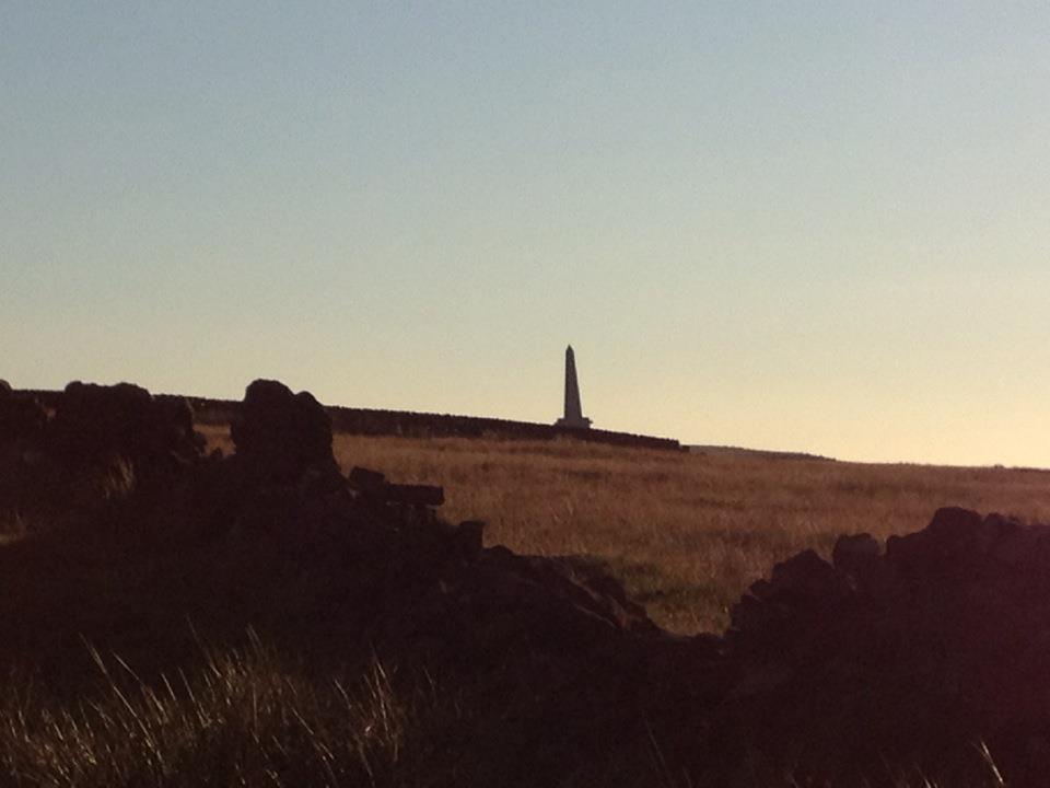
| Looking back to Scammonden |
 |
| Bathing Belle |
Chris swimming to the steps at Sparth
 |
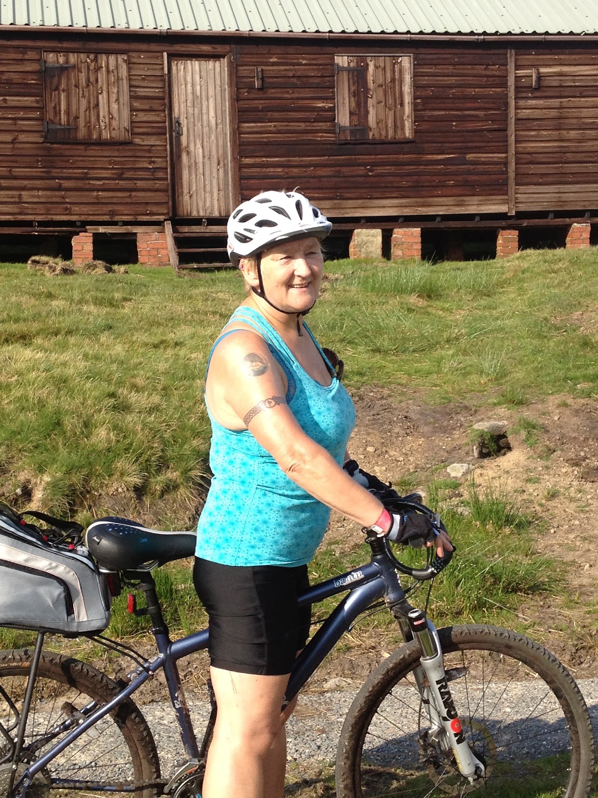
| Helmet hair |
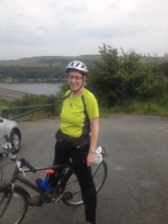 |
| Nearly home |
 |
| OMG! |
[googlemaps https://maps.google.com/maps?f=q&source=s_q&hl=en&geocode=&q=Deanhead+Reservoir,+Metropolitan+Borough+of+Kirklees,+United+Kingdom&aq=3&oq=Deanhead+&sll=53.798766,-2.051529&sspn=0.018148,0.060339&t=p&ie=UTF8&hq=&hnear=Deanhead+Reservoir&ll=53.63273,-1.945009&spn=0.015268,0.025749&z=14&iwloc=A&output=embed&w=300&h=300]
Please visit Map and Compass and learn how to interpret a map with me and my navigation partner, Cath.