Friday 7th October
We set off a little later than planned. Weather is fine all the way. We stop at Lancaster services for me to get a lentil and beetroot salad for lunch and also my first espresso in 3 weeks which is lovely then Tebay as I want some soy sauce bur they don’t have any. Then Allandale Water for lunch. C doesn’t like it there as cars are playing radios and it’s not warm enough to go and sit out by the lake.
On to Glasgow which I manage to get through easily going out on the A82. We stop for Carol to get money and me the soy sauce just parking on the road next to bank and deli. Then out of the city along Loch Lomond. We take a road off the main drag and immediately into loveliness so pull up and brew using our “mobile beverages ” box! Then off again along the wiggly road where there is loads of litter.
Through Crianlarich and onto Tyndrum where we find our B&B – Glengarry House right on the road. After checking in with Ellen and Andy we chat to fellow guests for ages in the conservatory over banana cake and tea.
Then we are on a mission to find dinner. C has found a cafe on the web but when we go in it’s just a chippy with eating in a tent flapping in the cold and wet wind. We drive up and down the village 4 times but there are only 4 places to eat one of which is closed. This leaves us with the hotel and Paddy’s Rock n Roll Diner. The diner is quiet and the food is cheap all set to muted rock with a larger than life size Elvis at a table. C has fish and chips and I have a veggie burger with chips n slaw washed down with not very nice 80 shilling beer.
Back to huge bed and good comfy sleep.
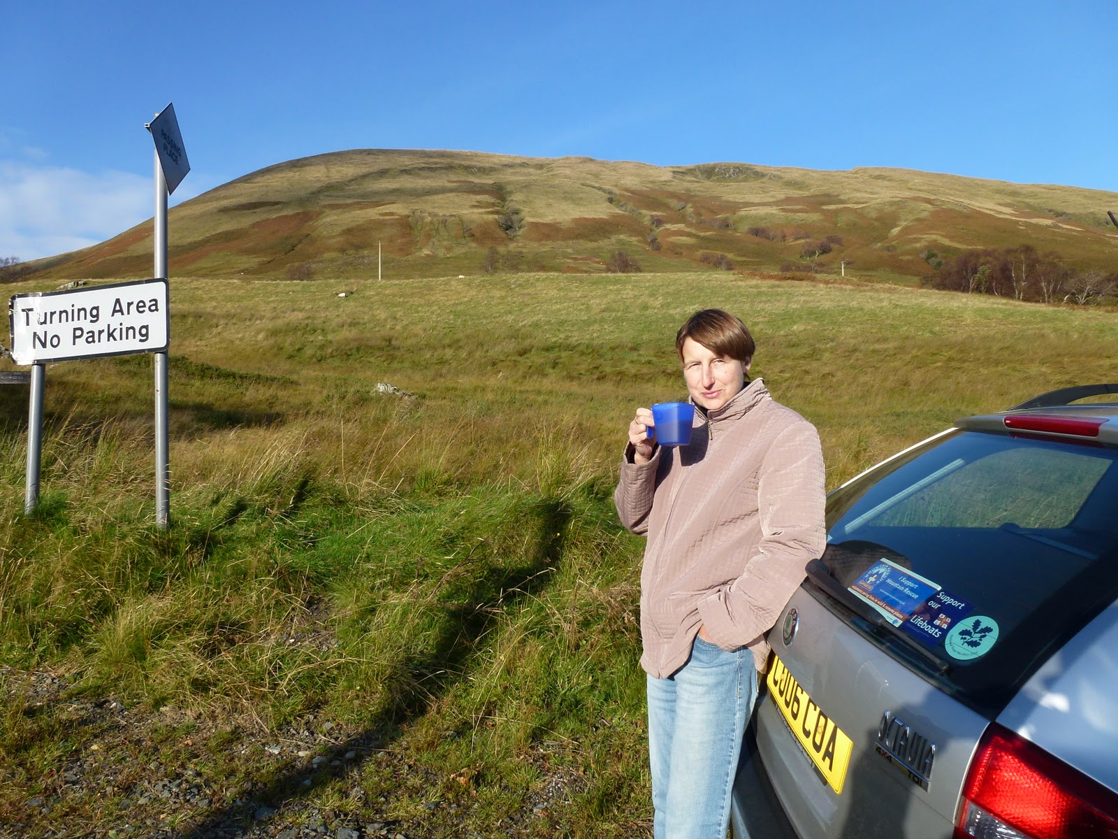 |
| A mobile beverage leaving lots of room for turning |
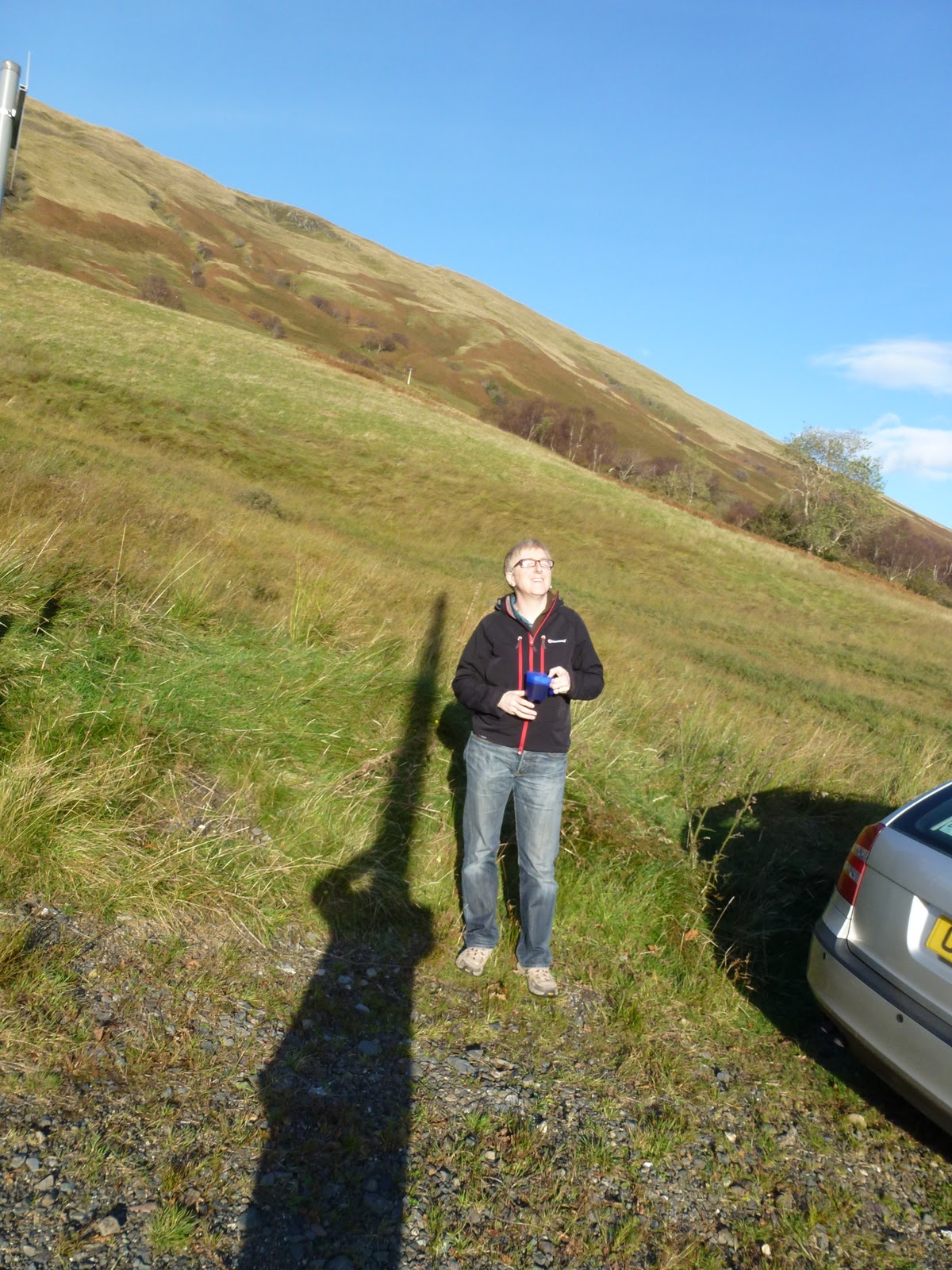 |
| Blimey, what’s that sticking out of your head? |
[googlemaps https://maps.google.com/maps?f=q&source=s_q&hl=en&geocode=&q=Tyndrum,+United+Kingdom&aq=0&oq=tyndrum&sll=53.191723,-4.062305&sspn=0.018024,0.052314&t=p&ie=UTF8&hq=&hnear=Tyndrum,+Stirling,+United+Kingdom&ll=56.436068,-4.711761&spn=0.014236,0.025749&z=14&iwloc=A&output=embed&w=300&h=300]
Saturday 8th October
We wake just before 7 and have a hearty breakfast – posh muesli, bacon, sausage, poached egg and beans, all good quality.
After a bit more chat we head off into the rain and gloom crossing Rannoch Moor and through the pass of Glencoe to reach Fort William. I fill up the car and we get some final supplies in Morrisons. Then off again past lots of big mountains and lochs stopping to look at Eilean Donan castle. We take a little turn off the road and stop looking at a loch through the rain smeared windscreen. I eat my lamb and damson pie from Tebay and worry about C who eats nothing.
We plough on and the A road gets smaller and smaller. The last places for shops is Lochcarron. We find out when the butcher is open and the bistro which we are planning for our wedding anniversary but the woman who runs it is flying off to Majorca and it will be shut evenings.
The last leg is the Pass of the Cattle, or Bealach na Ba. This has had a huge build up as it’s the highest longest road in the UK (beating Cragg Vale’s claim?). The pass is quite scary and a definite no in snow fog dark etc. But we get round the hairpins with ease. My passenger is a bit quiet.
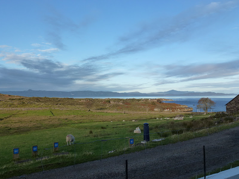
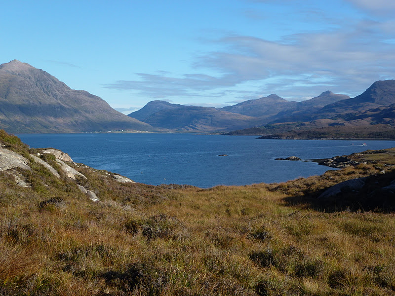
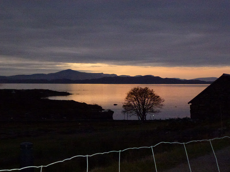
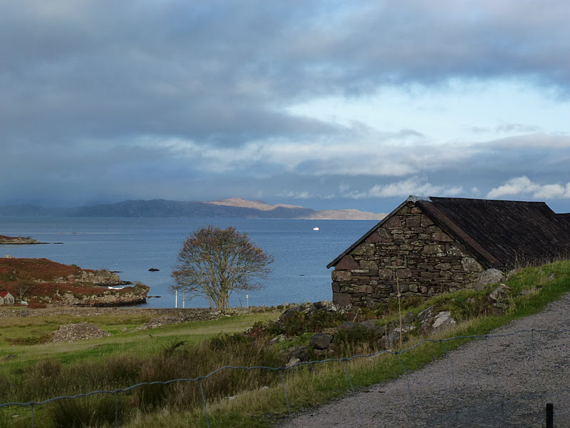
After the summit at 628m we drop down to Applecross and 3 miles later we are in Culduie at no. 2, a total of 470 miles since leaving home. We quickly unload and get the house warmed up and set up. It’s in a great spot with views to Raasay and Rona and Skye beyond. We take a short walk to the jetty and return to bake flapjack and make the fire in one of the 2 sitting rooms. C manages to smoke us out so we abandon that sitting room and transfer to the other one which is lighter and warmer and less gloomy. I make an omelette and we consider our walk options over a few glasses of wine.
 |
| Eilean Donan castle |
[googlemaps https://maps.google.com/maps?f=q&source=s_q&hl=en&geocode=&q=Applecross,+United+Kingdom&aq=0&oq=applecross&sll=56.43607,-4.711762&sspn=0.016632,0.052314&t=p&ie=UTF8&hq=&hnear=Applecross,+Highland,+United+Kingdom&ll=57.432477,-5.814943&spn=0.013861,0.025749&z=14&iwloc=A&output=embed&w=300&h=300]
Sunday 9th October
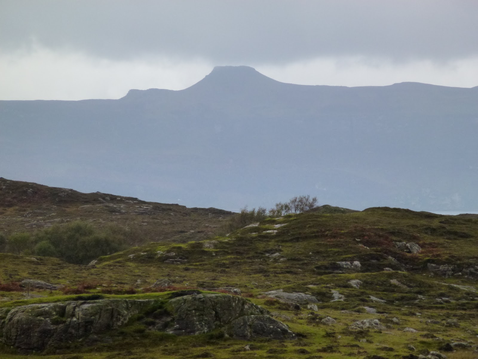
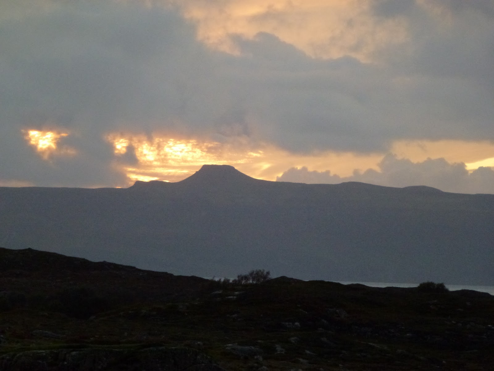
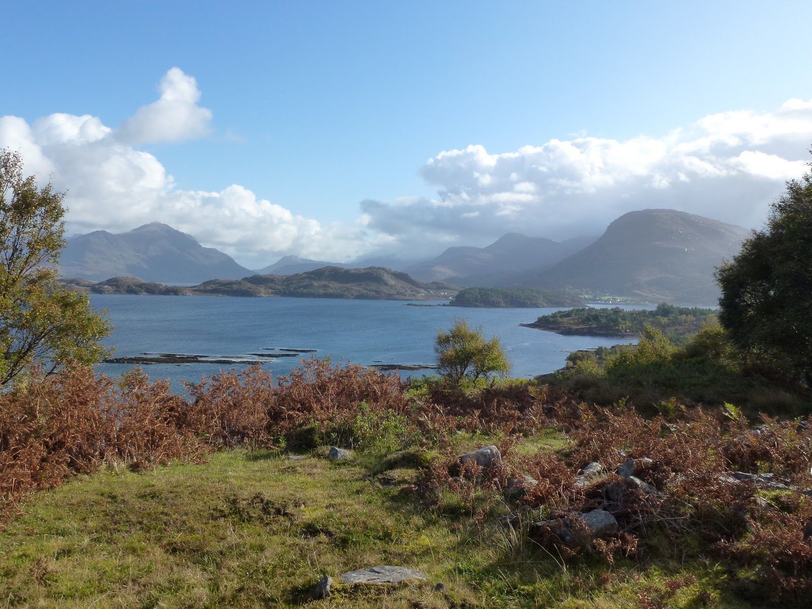
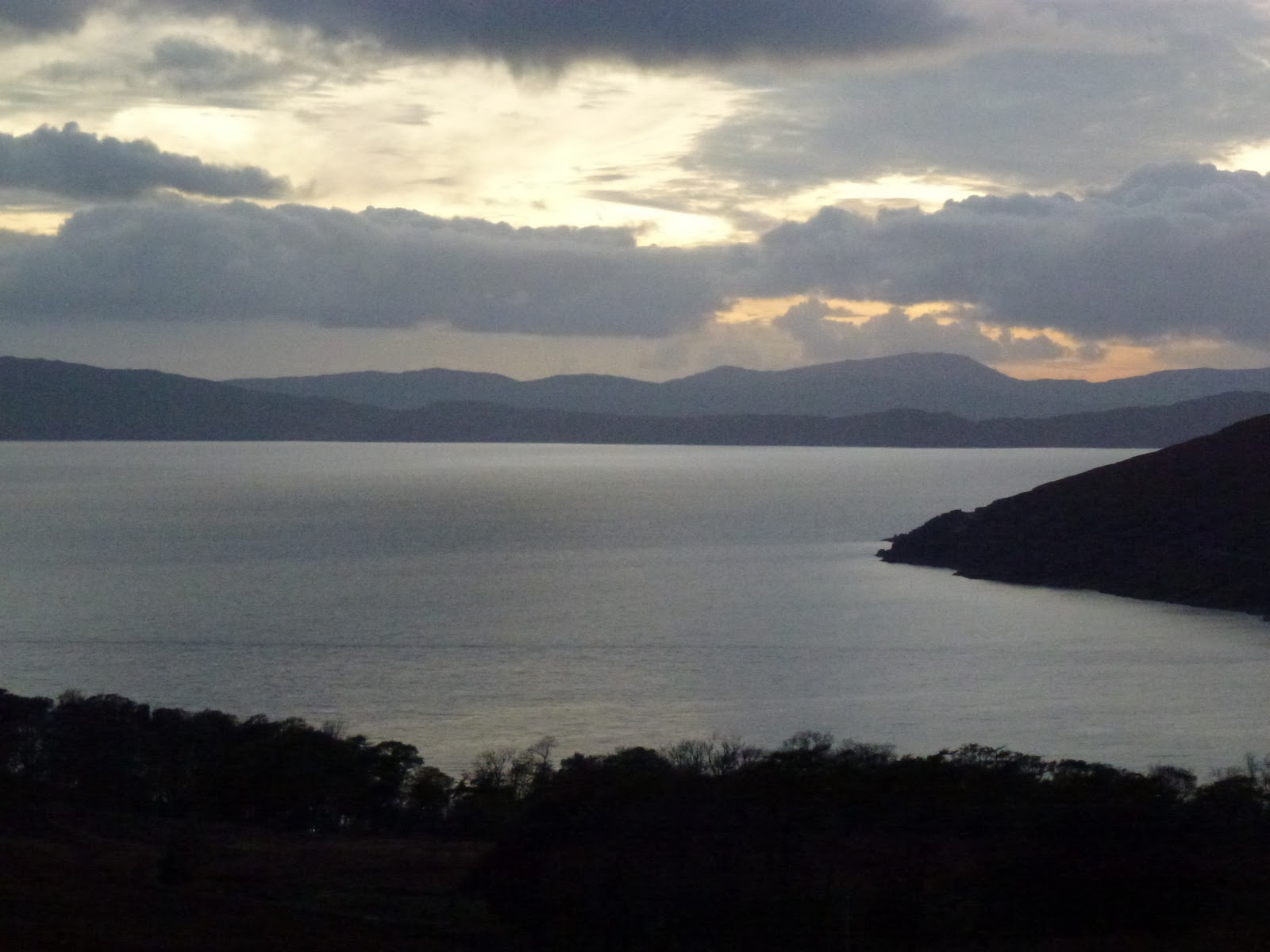
A leisurely start after a good long sleep. We trot round the nearest point to what is called a coral beach which is white sand with big chunks in it. It’s made of calcified seaweed but looks like chunks of shell. Only a short walk but I am well knackered so we return to base for lunch. Then a drive to the southernmost point of the peninsula which is sheltered and has some people doing something with fishing net but not quite sure what. Then back along the road to the north of the peninsula. It feels like an island because it is so remote and hard to get to. The northerly west side is bleak but has great views across to Rona Raasay and the Cuilin on Skye. Raasay has a small but perfectly formed mountain that just has to be an extinct volcano. Flat top to cone reaching like the hand of god (Bruce). Only 450m with a path so makes me want to climb it.
We have no TV, no digital radio, no mobile and no Internet which is mostly brilliant but I would like to get the weather and look up a few bits and bobs.
Back to the ranch for hot chocolate and then I bake bread (packet mix), and produce a Thai green chicken curry with rice and broccoli yum yum yum!
 |
| Dun Caan on Raasay |
Monday 10th October
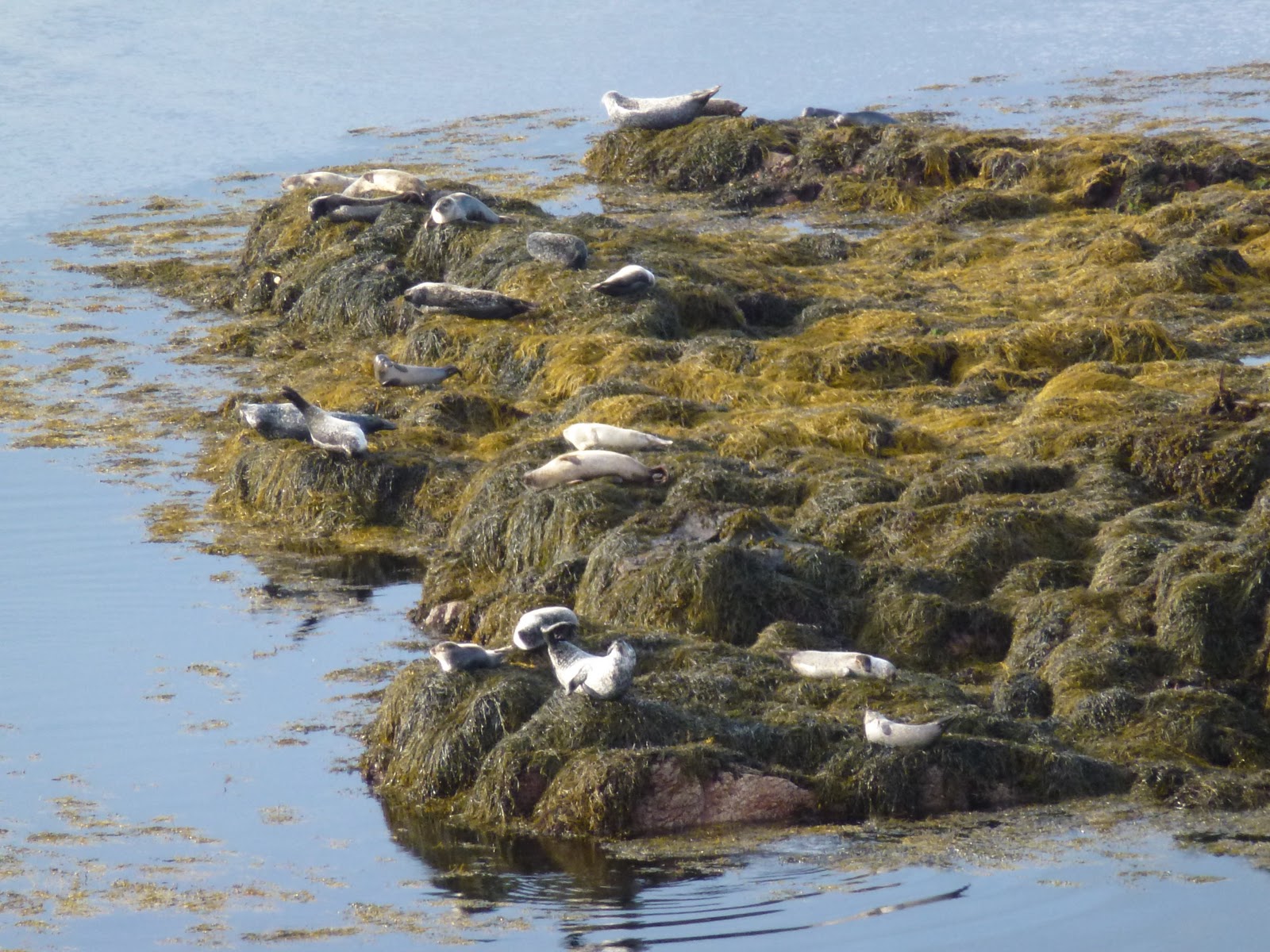
I wake in the night to the sound of a bellowing stag. He is a noisy old bugger. After breakfast we head for Applecross village stopping to watch a gang of seals on a rocky outcrop in the sea flapping their flippers and sunning themselves. We actually have sun today so a quick visit to the peninsula shop which is tiny and stocks everything from engine oil to oatcakes. Then we visit the village info centre in Applecross – this has some nice gifts, some outdoor gear and a PC for weather forecasts. The girl pulls up a selection of sites via a very slow broadband connection on a high spec computer and the overall picture is showers today, showers and wind tomorrow and better on Weds before returning to more solid rain.
On to the heritage centre but it’s shut and charges £2 to look at some old rocks and a coracle. Then Clachan chapel which smells very musty and is extremely Spartan with hard chairs all in neat rows. Peaceful though. There is an ancient Celtic cross on a tall leaning stone, this is part of the old chapel set up by Maelrubbha whose name means red monk and Clachan is the sanctuary.
We park the car on the beach and have a lovely river and woodland walk. I pull up some of the spreading invasive rhododendron but not enough to make much difference although clearly efforts are being made to control it. It only showers on us a little as we picnic near the river. Through the wood to Applecross house and into the Potting Shed for tea and another coffee for me. Nice now I don’t have to have it.
Back to the village to look in the Coal Shed gallery where I spot a singular card I want to buy. A woman comes in the shop and quickly buys something and I take no notice of her at all not even looking at her. I turn to pick up and buy the card of a cheeky looking stag and it has gone. Pipped at the post. Bugger.
Back home for hot chocolate and flapjack and more rain.
Carol made me a bacon sandwich for dinner and I’m now washing it down with a glass of wine whilst playing with a very complicated washer drier machine. It probably isn’t that bad but reading the manual made it seem so. I’m sure the wine helped me to work it out…
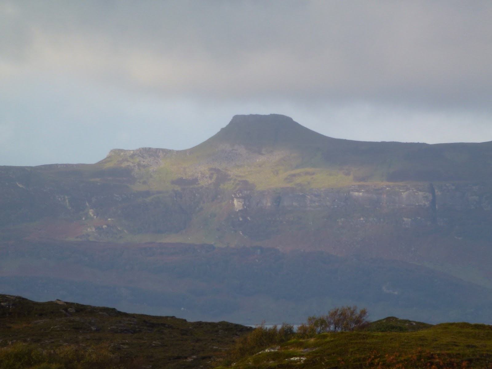 |
| This just has to be a volcano (and it is) |
 |
| Flappers |
 |
| CB |
Tuesday 11th October
Wake up late on our 3rd wedding anniversary, we exchange small gifts – yummy choc marzipan for me and heather soap for C. We give each other nearly identical cards of the Bealach na Ba pass.
Small breakfasts as we are a bit behind. Off up the north coast long way round, this is very pretty and has its own dramatic sections but it does take an hour longer. Through Lochcarron which C is convinced has shops. It doesn’t, just the best Spar in Scotland so they tell us. Stop at Strathcarron which we also thought had shops but it doesn’t apart from a post office with much nicer cards than the ones we’ve sent! I only sent 2 so no curses please!
Back to Lochcarron bistro for our anniversary lunch. C has huge homemade burger and I have chicken with tarragon sauce and herby mashed potato. Good food and nice place. Into the best ever Spar for a few more oatcakes.
We drive along the loch shore and park near Strome castle which is well ruined. Someone blew it up a few hundred years ago.
Walk along the road through Leacanashie to Ardaneaskan. It’s an old pine forest with steep drops to Loch Carron. On the other side of the loch trains run next to the shore. We walk round to a beach which is part of Loch Ruraig and then up into the forest. Think we see an eagle, at least an enormous bird with a huge wing span. Then back down to Leacanashie and fast along the road to the car. We have to hurry because the light is going and we have to drive 18 miles back to Applecross half of them across the Bealach. The light on loch and sea is glorious. We climb steadily surprising a stag poking his head up and then a doe ambles across the road in front of us. This is an annoying move for me as it forces me into first gear but the ascent is fine. As we drop back down we see several more red deer. The Bealach na Ba passes between Meall Gorm and Sghurr a Chaoraachain. The car says it is 4.5C up there.
Home to chicken curry leftovers for me and bread and cheese for C.
 |
| Impossible to resist |
 |
| Strome Castle |
[googlemaps https://maps.google.com/maps?f=q&source=s_q&hl=en&geocode=&q=Ardaneaskan,+United+Kingdom&aq=0&oq=Ardaneaskan&sll=57.437513,-5.807605&sspn=0.016192,0.052314&t=p&ie=UTF8&hq=&hnear=Ardaneaskan,+Highland,+United+Kingdom&ll=57.356303,-5.605087&spn=0.013889,0.025749&z=14&iwloc=A&output=embed&w=300&h=300]
Wednesday 12th October
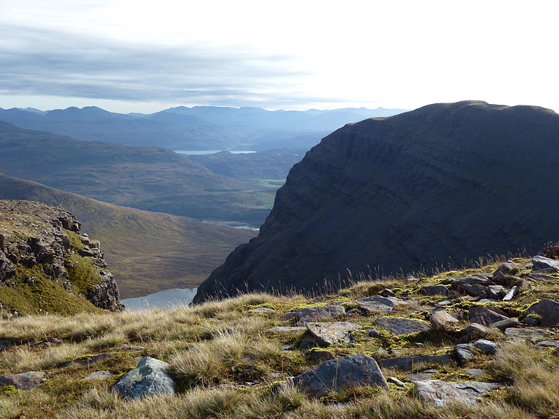
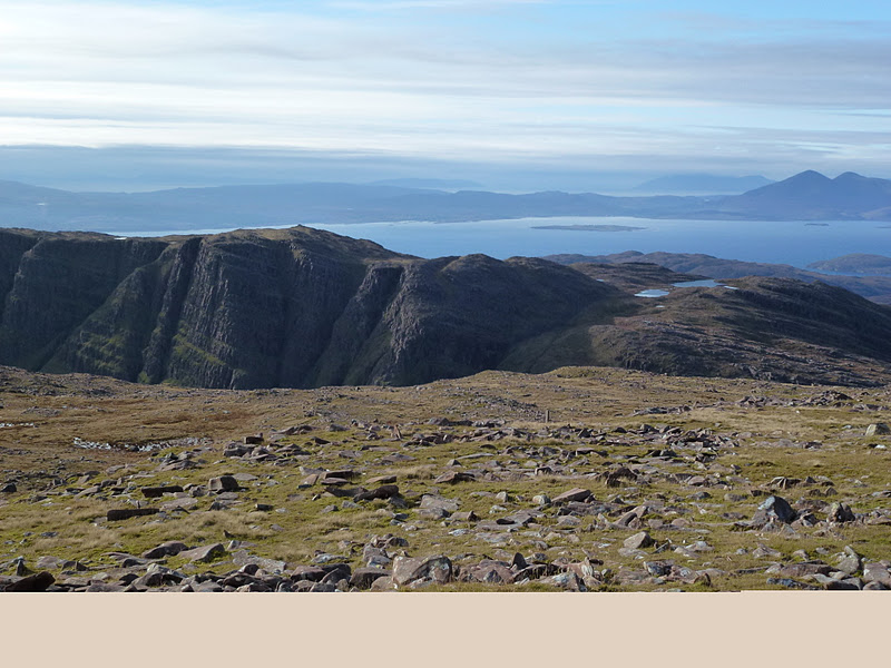
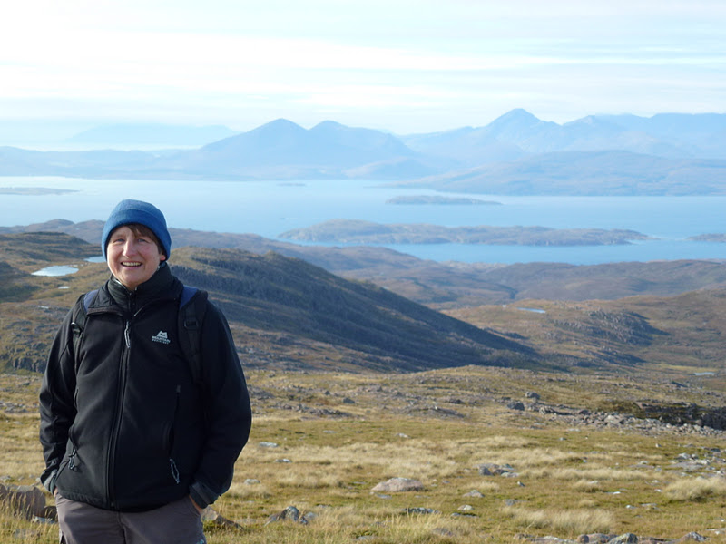
It’s a beautiful sunny day and we are up reasonably early and up the hill back to Bealach na Ba. I park up at the viewpoint and ours is the only car there. By the time we’ve got out of the car the parking space is nearly full. It’s cold in the wind and height so we wrap up warm in full winter layers. We walk up the good path to the mobile phone tower and get the most fantastic views to Skye and way beyond, the other way to Torridon – just mountains interspersed with lochs as far as the eye can see. Truly heavenly. C likes this type of mountaineering which means most of the work done by the car and just the last 750 m on foot!
I then drive down the Bealach which I had been dreading but actually is fine. Take it nice and easy on the hairpins and the barriered section and all the rest is a breeze. It’s the altitude plus the exposure that makes it seem hard. I remind myself that 40 years ago this was the only way to get in and out of Applecross. However once in a day is enough for me!
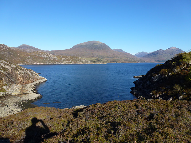
Once down we head for Shieldaig, a tiny village on the edge of loch Shieldaig. Park up and walk around the promontory. We stop for lunch, sandwiches with the latest bread batch and circuit the headland. This takes a while and the going is rough in places including a helpful arrow pointing up on a sheer wall. After a bit of a scramble we carry on round passing houses whose only access is our rocky boggy narrow path or the sea. It’s very warm and we are soon down to our shirtsleeves so winter and summer all in one day. C gets bad ankle pains due to leggings and sock putting pressure on her ankle bone so she hobbles back the last section. She rests on a bench while I get the car to taxi her back.
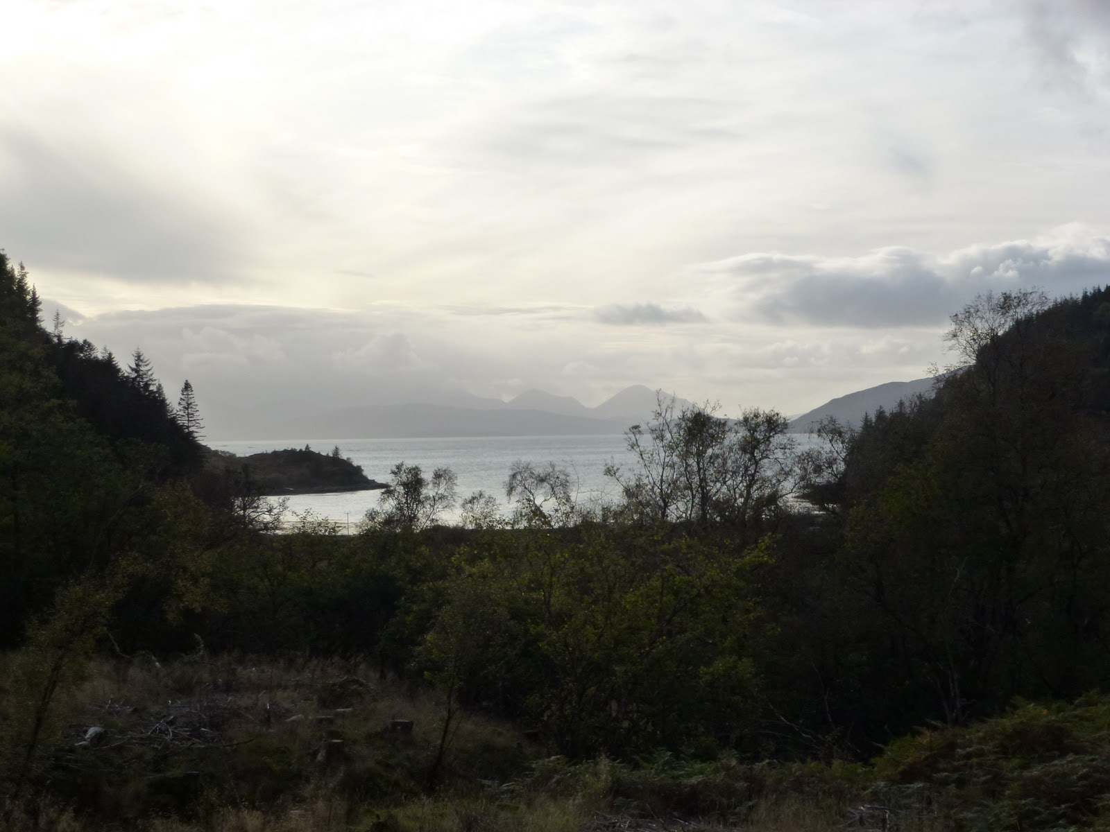
We take the long road round admiring the stunning light on sea and mountain.
Then to the Applecross Inn where I had chicken and Provencal veg with linguine and creme fraiche and C had haddock, chips and peas. Huge portions and very tasty.
[googlemaps https://maps.google.com/maps?f=q&source=s_q&hl=en&geocode=&q=Shieldaig,+United+Kingdom&aq=0&oq=shield&sll=57.356303,-5.605087&sspn=0.016228,0.052314&t=p&ie=UTF8&hq=&hnear=Shieldaig,+Highland,+United+Kingdom&ll=57.522322,-5.650578&spn=0.013827,0.025749&z=14&iwloc=A&output=embed&w=300&h=300]
Thursday 13th October
Up late. C cooks my breakfast of bacon, egg, toms and I do the mushrooms in garlic with tamari.
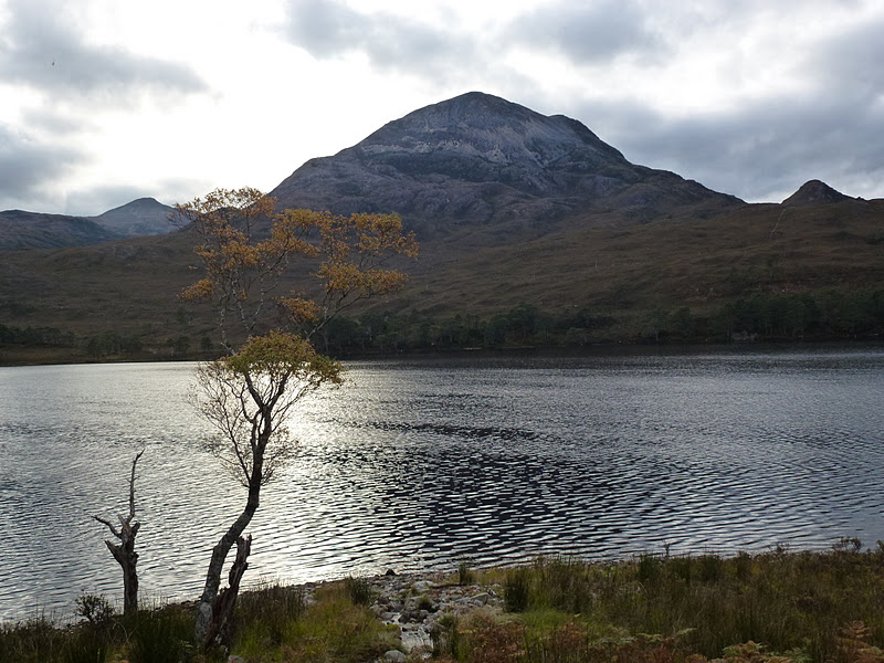
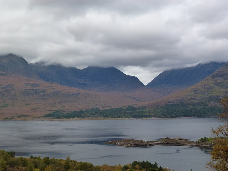
Plan is for car tour to take account of C’s ankle. In Applecross we see a pale buzzard very close. We take the long route to Torridon and find it has a loo, a YH, a campsite and a shop. We drink coffee looking over the loch. Torridon very blighted with rhododendron which is strangling the trees.
Then we park up on the road near Loch Clair for picnic lunch. This is another single track A road with passing places. On to Kinlochewe which has a loo, a hotel, a garage and a rather run down but well supplied shop. C v excited with the retail opportunities today is offering. The woman running the shop is perturbed because the fish man has driven past and she needs to feed 20 on Saturday because Evan who used to be in the Wolfe Tones is coming. At least I thought that’s what she said. But it turns out there is a band called the Wolf Stones. I’ve had a cold sore in my nose and sniffles all week so have been congested which means I’ve been extra deaf. Evasio Radice was said to have hung out with Wolfe Tone during the time he taught at Trinity College Dublin, this is absolute cobblers because Evasio was 4 when Wolfe Tone died.
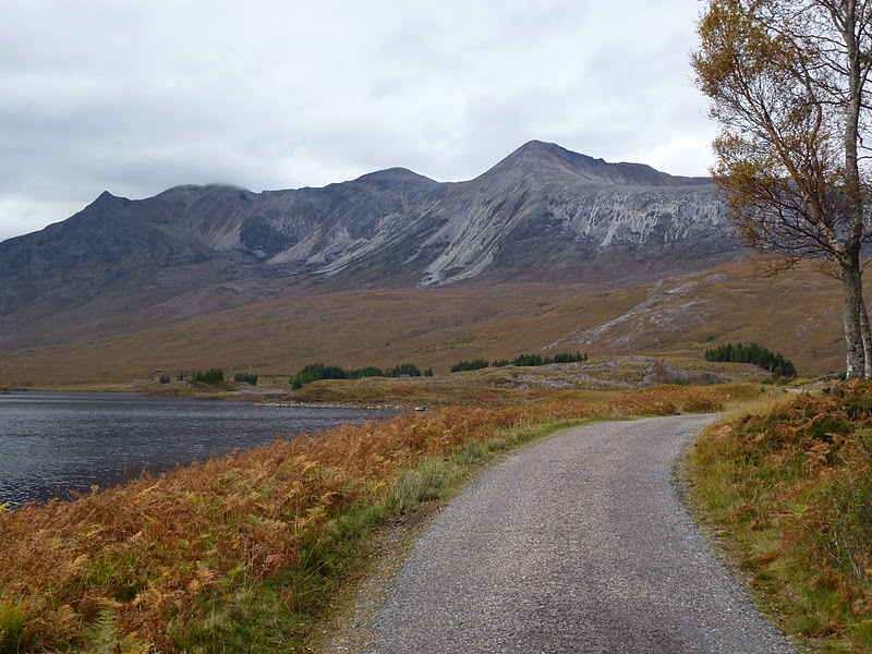
Then we head back and stop so we can walk on an estate track which is better for C’s ankle. Lovely walk by Loch Clair.
Then home the long way round as I’m not in the mood for Bealach thrills. We think we spot a deer.
Back to pasta bolognese cooked by me to a secret recipe handed down by my mama. No I am lying, I just did it the way I like to do it.
[googlemaps https://maps.google.com/maps?f=q&source=s_q&hl=en&geocode=&q=Loch+Clair,+United+Kingdom&aq=0&oq=loch+clair&sll=57.522342,-5.650586&sspn=0.016154,0.052314&t=p&ie=UTF8&hq=&hnear=Loch+Clair&ll=57.560786,-5.344505&spn=0.027624,0.051498&z=13&iwloc=A&output=embed&w=300&h=300]
Friday 14th October
The cottage is an old croft in the island style so it has 2 dormers. This one has a single story extension to the side and this is the sitting room we ended up using. The one we didn’t use except for all our kit is always much colder than the rest of the cottage. The main cottage is internally clad with pale painted tongue and groove which makes me feel like it’s a boat.
We have a lazy morning in then just drive to Applecross village seeing the seals on the way and walk a good length of the Applecross river along a well made track. C is in my shoes so the ankle stays ok. Picnic on the path. Weather is cloudy and v mild but doesn’t rain on us.
Back home we pack up ahead of the long journey tomorrow. I bake some more bread and read some more.
Off to the Potting Shed for dinner. C is concerned that it will be awful. She is worried that the lack of cars in the car park means it’s no good. We are led in through the walled garden by a string of fairy lights. The proper dark and green canopy makes it feel almost Mediterranean especially as it is so mild and not raining. Very magical.
I have venison rillettes with Cumberland sauce for starter. A rillette is a kind of rissole. This is really nice. Followed by poached salmon and cous cous also excellent.
C has black pudding starter followed by hummous starter which both went down a treat! Pudding is apple bramble crumble, try saying that after a few glasses. Top marks for presentation at the Potting Shed. Do not confuse with the Coal Shed the gift shop here. C says it is great. I try some of hers and it is yummy. I’m too full for my own pudding.
C agrees that this was a good choice to come here after all!
Saturday 15th October
At New Lanark youth hostel. It’s been a very long day.
Up at 7 and away at 9.30. We take the long slow way off the peninsula because of huge wind and driving rain and very thick mist at sea level so all will be much worse on the Bealach. I think I said before it’s quite enough fun in good conditions! As we go past the end of the road coming down from it and look up it’s in big fog so I feel it was the right decision.
It rains all the way to Glasgow. We stop for coffee at a nice 4 * hotel in Invergarry. Then for lunch off the road near the Commando memorial at Spean Bridge. Then for a few supplies and diesel at Morrisons in Fort William. Then at Crianlarich for chocolate and sweets Then in a lay by at the end of Loch Lomond for air and leg stretching. We walked round the car 6 times. It did wake me up.
We don’t stop at the services on the motorway and this is a mistake as we both need the loo. There are 11 garden centres between the motorway and Lanark a distance of 12 miles. We try Morrisons in Lanark but they don’t have any loos so we have to hold on until we get to New Lanark YH but then rush in and use all the loos on the ground floor. This done we check in and arrange ourselves.
Picnic supper using our picnic plates. There are about 8 others only one of whom could be described as youth and 2 of whom are geriatric.
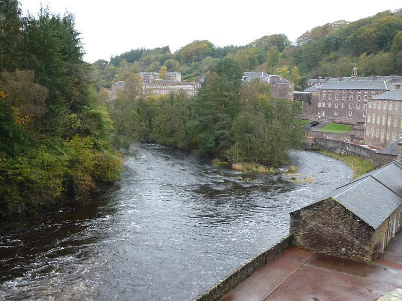
Short walk in rain to show C Robert Owen’s house and the big water turbine all lit up and shining wet.
Wine in plastic cups to finish off.
 |
| No. 2 |
Sunday 16th October
Slept well on nice firm beds. C in bottom bunk and me in separate bed. The YH (which I
visited in April with Chris) now supply towels as well as squirty soap. This is Scottish YHA which also have much higher standards of cleanliness than the
ones I’ve been to in England and Wales.
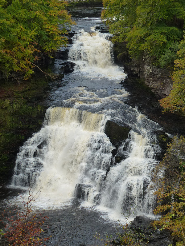
We are up early and have a quick breakfast of cereal and toast. I chat with the New Zealander manager, Scott who is very nice man and then we pack the car and take quick walk to the Falls of the
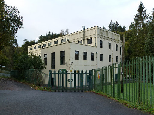
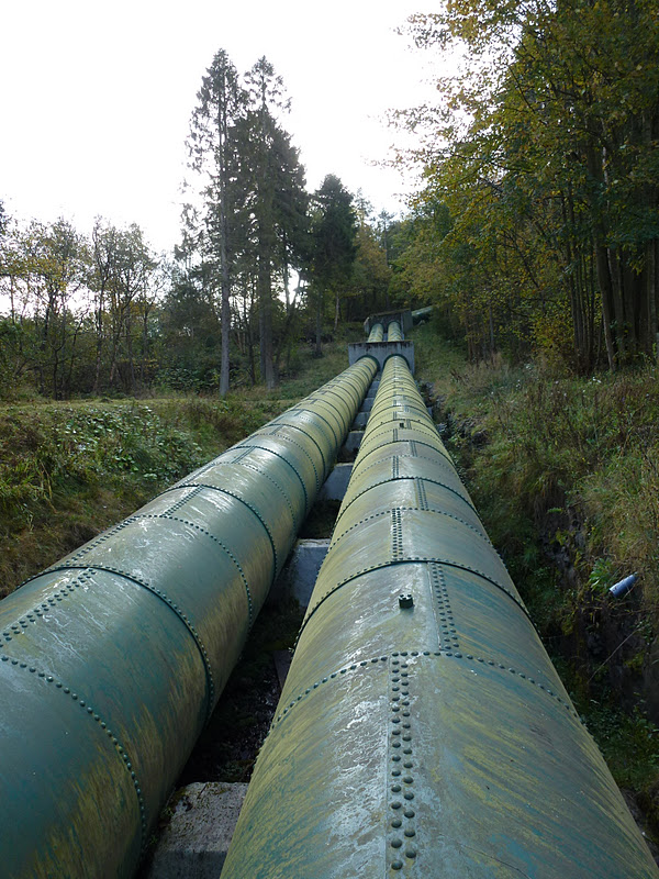
Clyde and the hydro electric power station built in 1927 and still going strong. The falls are
in full spate. Lovely walk and it only rains just as we return to the car.
Off to Tebay for lunch stop and shopping.
[googlemaps https://maps.google.com/maps?f=q&source=s_q&hl=en&geocode=&q=New+Lanark+Youth+Hostel,+United+Kingdom&aq=4&oq=new+lanark&sll=57.560753,-5.344574&sspn=0.064548,0.209255&t=p&g=Loch+Clair,+United+Kingdom&ie=UTF8&hq=New+Lanark+Youth+Hostel,+United+Kingdom&ll=55.664225,-3.782773&spn=0.007262,0.012875&z=15&iwloc=A&output=embed&w=300&h=300]
Please visit Map and Compass and learn how to interpret a map with me and my navigation partner, Cath.
Save