Walking Group Leader Assessment

Sunday 2nd October
I got to Betws-y-Coed in under 3 hours having stopped for pasta salad lunch at services. I parked up and Kate arrived about 5 mins later her journey having taken as long for a much shorter distance. We exchanged a toasted sandwich maker and a chocolate bar and set off for a bit of shopping. I got a Mountain Leader First Aid kit and a half price shirt in Cotswold Outdoors only it wasn’t discounted at the till.
We went to one of the 2 street facing hotels and Kate had a panini with goats cheese and red onion, I think that’s right and I had some bara brith. All fine.
Really we just chatted and caught up with each other and generally had a nice time. Lovely.
Kate then whizzed off, I got my money back and headed on to Capel Curig.
Because of courses lasting all day, rooms at Plas y Brenin are not available until 8pm so I waited in the bar swotting up on mountain leadership and ordered an omelette.
I didn’t have to share my room which was good as the assessment itself is stressful enough without any added extras like having to wear clothes in bed or talk to someone when you just want to concentrate.
The room was very warm so I stood on a chair, climbed onto the 2 foot thick window sill and opened the window wide. I’m overlooking the air and heat system this time!
I did some more swotting and so on.
Monday 3rd October
Up at 7 and ready for breakfast at 8. First you grab a plastic bag and select biscuits, fruit, cake and filled roll all neatly labelled and laid out. The sandwiches have been bought in and doesn’t look as nice as the ones they used to make.
Breakfast of muesli and fruit. Then toast and a poached egg.
Pack my leader rucksack and attend the welcome to PYB lecture. There are 3 of us on the course, Ricky from near Dartford and C a walk leader, we follow our course leader who is Helen. We go to the Cromlech room for intros, also to John who is assessing us for this first day. The 4th person Tim never shows up. We hand in our log books and home papers.
Fine and dry all day.
Off to Penmaenmawr and park on Mountain Road which straightaway makes me feel comfortable as I did some of my training there. Then it’s nav nav nav all day taking legs in turn. I am ok. Each leg we lead or follow we just get ok i.e. no clue as to whether we are right or wrong. This takes a bit of getting used to but for me starts to work to make me get it right.
John gives us individual feedback by the van. My nav is good but my flora is less so, which has been obvious to me. I’m not quick to identify plants and need to know more than just names. But my laminated cards are good.
John drives us back for freshly made cake and tea. I’m now on lemon and ginger.
I get my bag ready for the night nav, read a bit more. Then dinner of melon followed by veg pancakes and nice sauce with loads of veg all v fresh and lots of it. I don’t eat too much as we are about to be exercising once more.
We gather at 8pm and John drives us for all of 2 mins so still in Capel Curig. It is a hard 3 hours we spend locating features but at the end John’s feedback to me is that my nav is nearly Mountain Leader standard. ML is next in the hierarchy of awards from the Mountain Leader awarding body. It’s hard work but some laughs too when I slide down slowly just missing the stream.

The bar is shut when we get back after 11 pm so we have a hot drink together. I shut the window up a bit in my room as it’s got colder.

[googlemaps https://maps.google.com/maps?f=q&source=s_q&hl=en&geocode=&q=Penmaenmawr,+UK&aq=0&oq=penma&sll=54.348503,-2.465658&sspn=0.035069,0.104628&t=p&ie=UTF8&hq=&hnear=Penmaenmawr,+Conwy,+United+Kingdom&ll=53.266599,-3.92066&spn=0.0154,0.025749&z=14&iwloc=A&output=embed&w=300&h=300]

Tuesday 4th October
This day we get Helen. She is very nice and reminds me a bit of mountain friend Ann. I eat a bigger breakfast of muesli and then egg, beans on toast and hash brown. Hungry after night work!
Helen goes through our leader rucksacks questioning gently. She has a pleasant but thorough manner and is a sucker for gear which amuses me, she is very interested in my folding walking poles.
Then it’s off out to Dolwyddelan which puts me at ease as we park just where I did when here with Carol and the first bit of our walk is the same as Carol and I did.
During lunch I give my 5 min talk plus laminated cards on the YHA. It’s cold in the strong winds.
Back at the bus we get our feedback. I am ok with nav but just need to be more self confident. I think this is assessment strain. It’s actually fine doing my own legs but really hard to follow the others and that’s part of the test.
Back for scones and butter. Jam optional. We are all really tired and now have to do a route planning exercise. Again I’m in luck as it’s a walk to Llyn y Fan Fach which is an old favourite of mine.

Dinner of veg pie and lots of veg followed by raspberry pavlova yum. This evening we can socialise so I sit with the guys in the bar watching extreme mountain biking which is strangely balletic and beautiful. Such reckless control. I drink beer and Laphroiag. The rain is here so window completely shut now.

Crack of dawn at PYB

[googlemaps https://maps.google.com/maps?f=q&source=s_q&hl=en&geocode=&q=Dolwyddelan,+United+Kingdom&aq=1&oq=dolwy&sll=53.266577,-3.92065&sspn=0.017993,0.052314&t=p&ie=UTF8&hq=&hnear=Dolwyddelan,+Conwy,+United+Kingdom&ll=53.053958,-3.886585&spn=0.015477,0.025749&z=14&iwloc=A&output=embed&w=300&h=300]

Wednesday 5th October
I wake feeling anxious. After a smaller breakfast just toast and poached egg and beans we set off smartly. It’s been raining and more predicted but I’m too hot in my waterproofs already. Helen drives us to Rachub, just outside Bethesda . I’m thrown by getting a 1:50000 map to work with and make a mistake straight off as does Rick so we are both kicking ourselves.
It’s not wet but very windy so we stop in a hollow for a break and Helen quizzes us on emergency procedures. We keep going leg by leg and at lunch in a sheltered dip R gives us his 5 min talk on nature and myths.
Then back to the bus and early back to PYB for testing on the overnight experience. R gets the Trangia and I get different types of stoves most of which I have never seen but thank god I have some sense to work them out!
Then we go for showers and I pack up my things in the room. We meet back in the bar where fresh Eccles cakes are waiting for us and Helen meets us one by one to give us our results. Rick goes first and soon returns having passed. Then I go in and Helen shakes my hand and gives me my good news. I am elated and feel like crying after all the mental, emotional and physical investment I have made. My nav is good and my paperwork is excellent.
I take my leave and set off for home. One very happy bunny.
I celebrate with some more Laphroiag at home.
I have joined the MLTA for CPD and registered to do the Mountain Leader. Onwards and upwards!

[googlemaps https://maps.google.com/maps?f=q&source=s_q&hl=en&geocode=&q=Rachub,+United+Kingdom&aq=0&oq=rachub&sll=53.053941,-3.886577&sspn=0.018082,0.052314&t=p&ie=UTF8&hq=&hnear=Rachub,+Gwynedd,+United+Kingdom&ll=53.191739,-4.062281&spn=0.015427,0.025749&z=14&iwloc=A&output=embed&w=300&h=300]

Please visit Map and Compass and learn how to interpret a map with me and my navigation partner, Cath.
Dales 16-18 September

Friday
Set off at 2.30 and meandered our way to Keighley where I bought Optrex for one of Carol’s ailments. It took forever in dithery Friday traffic to get to Ravenstonedale partly because of an excessive monsoony downpour which came north with us causing lots of standing water and some mini floods, the worst of which was 2 mins from our destination at High Chapel House. That sentence is long enough to challenge Lucy Mangan!
We settled in to the same room I had when I came here back in April. The rain had now stopped so off to Kirkby Stephen to the Old Forge for dinner. I had lamb koftas and chick peas for a starter – very tasty. Followed by pea risotto while Carol had pork escalopes with black pudding mousse with honey and mustard sauce. All served up with mashed spuds, mashed swedes and leeks with peas and chips in case anyone had room for them. All very good fare. This resto is recommended!
Saturday
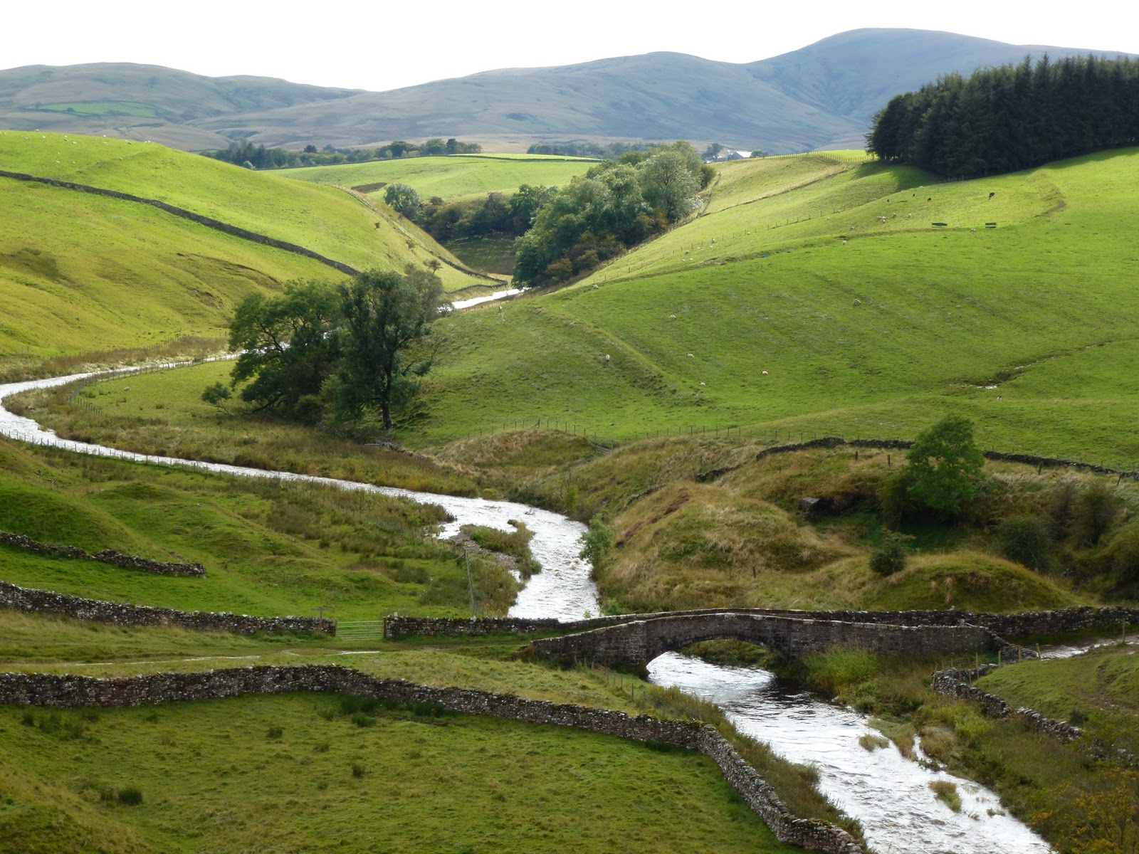
Both very hot in the night. Brilliant powerful shower. Breakfast was cooked by John as Yelly was out doing a cookery demo at a nearby country show or fair. Full English for C and omelette for me. Just for a change it was very wet so we went into Kirkby Stephen which was having a horse fair. This meant it was hard to park and the town was full of rough looking horse traders. Went round the whole town and stopped for a coffee in the post office and deli. C was the one on coffee and me on tea so a bit of reversal there. I sniffed Carol’s Americano but still didn’t want it. It’s a bit like giving up fags as I think I should be having coffee. Then the rain actually stopped and we decided to give our walk a go so back to Ravenstonedale to park near the school and get fully togged up against the wet and off across the field to the main road. We followed a track and then charged up over pillow mounds, through a herd of non combattant cows and down to Smardale bridge hearing the sound of a hunt all the while.
From the bridge through some old quarry pits along an exposed section and up to Smardale Gill viaduct. It was well into the afternoon so I had my pork and apple pie and C a ham sandwich with some of my best flapjack.
Across the viaduct and along the old railway track, through some mud and down to a fast flowing section of Scandal Beck at Smardale bridge. We managed to get across and then I remembered we were going back a slightly different way so back through the river again!
Various muddy bits but soon back in Ravenstonedale in time to freshen up before going out to the Cross Keys near Cautley Spout.
The Cross Keys is a temperance inn and is run by Alan and Chrstine who are Quakers. No corkage charge so C provided a nice bottle of Fitou. Great coal and wood fire blazing in the range in the sitting room.
I had mozzarella and sun dried tomatoes in filo parcels followed by steak with onions and mushrooms with mixed roast veg and potato wedges – they make a point of telling you they don’t serve chips but the wedges are the thick end of. I finished off with crunchy caramel ice cream. C had a stack of chicken and bacon followed by crundle which is like cake with jam and cream. It was all very nice indeed.
I was pleased to see Alan he is a proper maitre d’ and comes to see each table is ok. We sat briefly in the sitting room then paid up and said goodbye to Christine. They both said they remembered me from April.
Home to finish off the bottle. Oh and raining again. We have now met the entire family at High Chapel House.
Through the window
Smardale Gill viaduct
Smardale bridge over Scandal Beck

[googlemaps https://maps.google.com/maps?f=q&source=s_q&hl=en&geocode=&q=Smardale,+United+Kingdom&aq=0&oq=smardale+&sll=54.340598,-3.023558&sspn=0.017538,0.052314&t=p&ie=UTF8&hq=&hnear=Smardale,+Cumbria,+United+Kingdom&ll=54.468192,-2.39974&spn=0.014964,0.025749&z=14&iwloc=A&output=embed&w=300&h=300]

Sunday
Yelly was on breakfast duty today. I had the full English without the black pudding and Carol had scrambled egg and smoked salmon. I haven’t told C how I feel about scrambled eggs but it is quite a violent antipathy.
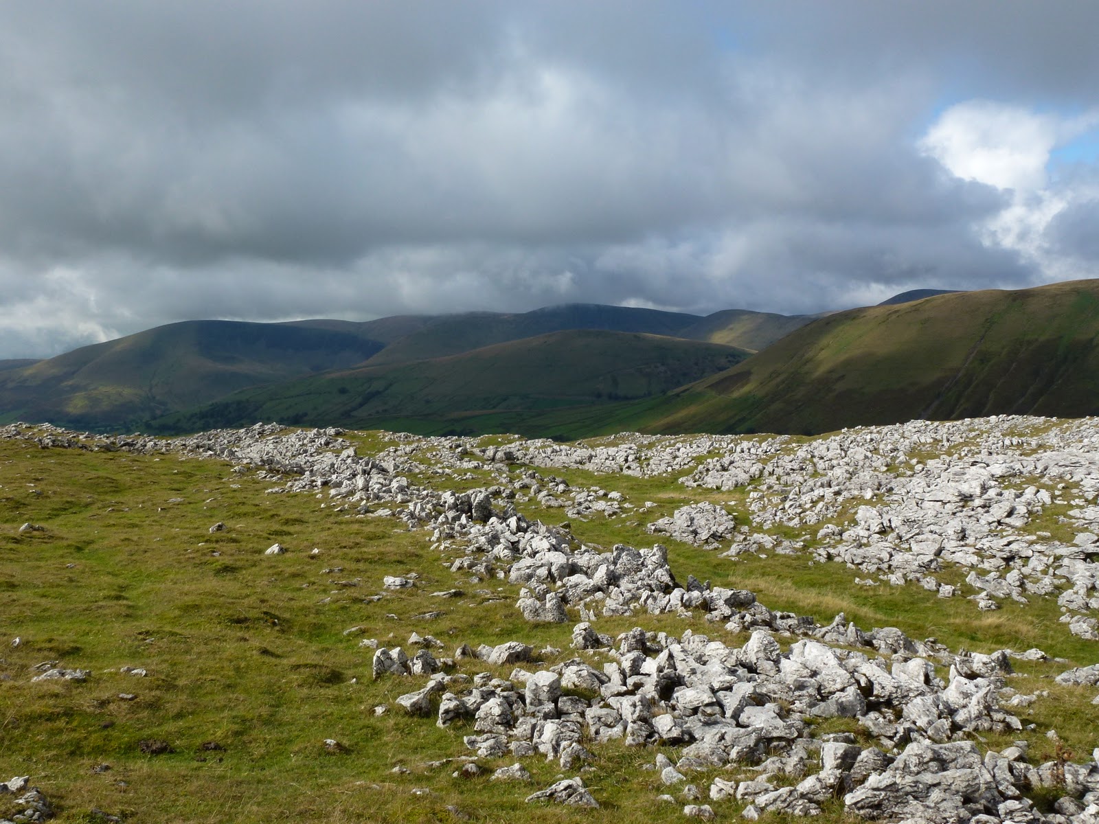
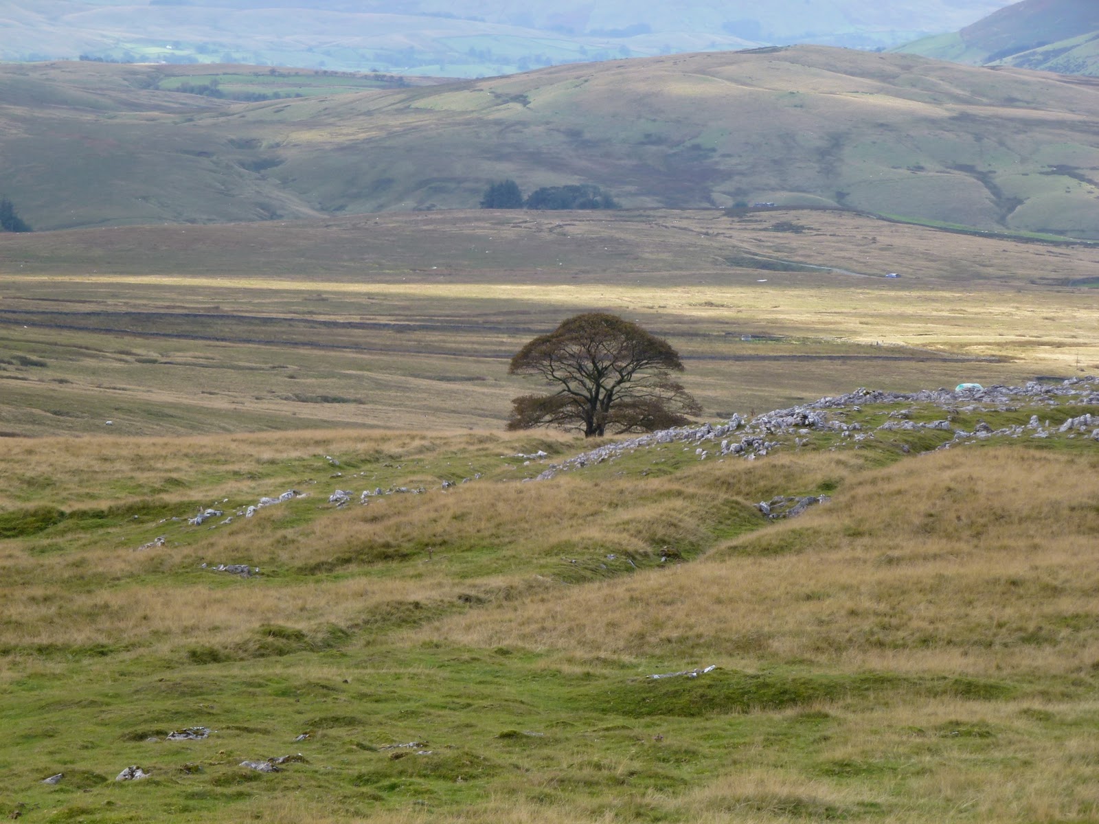
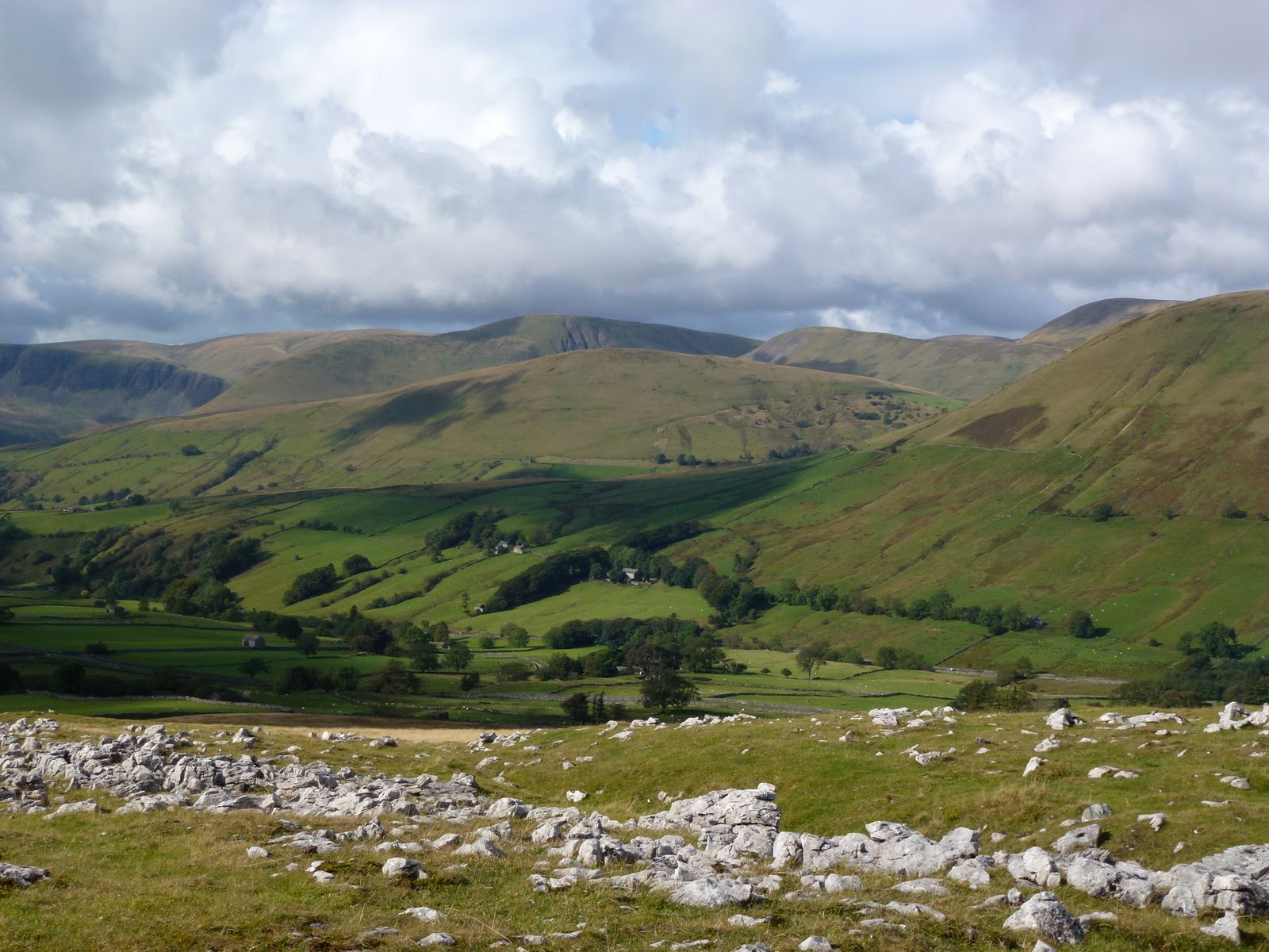
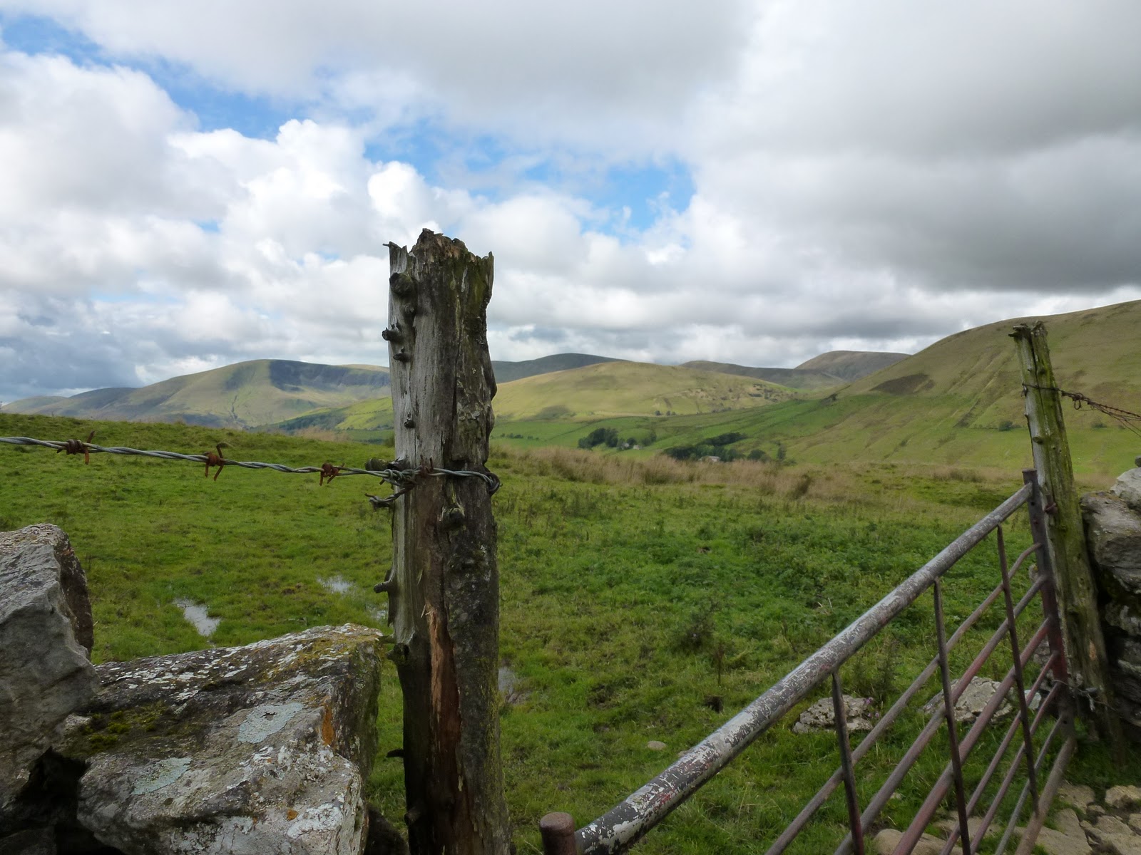
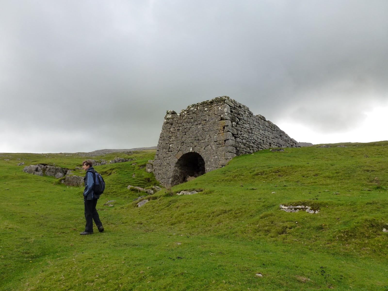
We packed up and wanted to take advantage of the lack of current rain so managed to get out early. Drove just a few miles to park in an old quarry and then walked up to Fell End Clouds which is a lovely walk ambling through limestone moraine and then bits of limestone pavement. We’d picked a lower level walk in case of more rain but it stayed fine and took us up high enough to get good views across to Wild Boar Fell which still draws me to it. We found Wainwright’s “conspicuous, solitary tree” and wandered back to the road passing 2 old lime kilns.
Then to Sedbergh for a bit of book shopping, grabbed a bread roll in Spar and off on a very quiet single track road to Dent. Stopped a bit further on next to a gushing waterfall to eat our lunches, it now being mid afternoon. Then continued on this road a little way and then I realised it was Whernside on our left and we passed where I’d climbed it from on my super fast ascent a year ago Easter.
From there it was a straight drive back to Ingleton and the main road home. And it didn’t rain on us all day. Super.
Limestone bits and bobs
“conspicuous solitary tree” (AW)
“Who’s going to ride your wild horses?” (U2)
That tree again
Lime kiln
Waterfall on Dent to Ingleton road

[googlemaps https://maps.google.com/maps?f=q&source=s_q&hl=en&geocode=&q=cautley+spout,+Sedbergh,+United+Kingdom&aq=0&oq=caut&sll=54.476023,-2.404804&sspn=0.03496,0.104628&t=p&ie=UTF8&hq=cautley+spout,+Sedbergh,+United+Kingdom&ll=54.372259,-2.493038&spn=0.014999,0.025749&z=14&iwloc=A&output=embed&w=300&h=300]

Please visit Map and Compass and learn how to interpret a map with me and my navigation partner, Cath.

Bushcraft in the Lakes

Friday 2nd September
Chris and I made a good start, both managing to leave work early and setting off mid afternoon. An easy journey stopping of course at Lancaster services and loading up on caffeine and chocolatey goodies, just in case we never saw food again.
We stopped in Windermere and went to Booths as Chris had a desperate urge for instant hot chocolate and I got some trail mix. Then we drove down to the little ferry that goes across the lake and waited for it. £4 and 15 minutes later we were across the lake and parked up at the Cuckoo Brow pub in Far Sawrey.
We took some beer out into the garden and sat with the most handsome man on his own who turned out to be Steven, who we were meeting. Gradually the party assembled around our table. Woodsmoke‘s Land Rover no. 2 was being repaired and so this meant that we had to wait for some late people on the train. Eventually we set off, driving the car up the road to the front of a farmhouse, off the road, where we were leaving it for the weekend. Then all 10 or so of us loaded our bags onto the Land Rover which went off and  we set off for our 10-15 minute walk along the track to the woods. 10 minutes was more like 35 and when I looked on the map it’s over 2 km which even at 4 kph would be 24 minutes minimum so I felt Steven was a bit inaccurate with his measuring.
By the time we reached camp it was completely dark and really really dark as in the deep forest, well deep enough. The first job was to collect our bags and pitch our tents – “anywhere you like, plenty of flat and dry areas”. So off we toddled, having rooted out our head lamps, and gathered all our bags. We had not gone particularly lightweight owing to the promise of the Land Rover for the kit, however it might have been more sensible if we had as we now had to clamber across broken trees and a stream in the dark. We found somewhere flat but covered in branches, and then somewhere flat but soft and mossy so that’s where we pitched.
It was my first time with the new ultra lightweight tent, and I tried to put it up with the pole in the wrong place, fortunately Chris could see straight away what was wrong and helped me get it right.
We went back up the hill to the parachute which was strung up and provided a large dry circular area with seating and a fire for gathering round. We got the introduction talk which was mainly common sense and hygiene which is fine by me, we were a group of 13, with Chris the only girl, although I got added to her and we became a plural! Our leaders were Steven who lives in Edinburgh, John the apprentice and Willow, a Dutch woman who lives on a smallholding in Scotland. Then we got a tour of the camp, the hand washing area, the pot washing area, the badger bin, the bog box (loo roll box as signal that loo was occupied), the kitchen, and finally the latrine. By this time, I was a bit rattled and panicked as it had been quite a challenge putting the tents up in the dark and so I promptly made use of the latrine, someone had to start it off!
We then had some soup and bread and went to bed.
I slept quite well as the bed was pretty comfy and warm and then it started raining….

[googlemaps https://maps.google.com/maps?f=q&source=s_q&hl=en&geocode=&q=Far+Sawrey+-+Bowness-on-Windermere,+South+Lakeland+District,+United+Kingdom&aq=0&oq=far+sa&sll=53.350961,-1.769571&sspn=0.017957,0.052314&t=p&ie=UTF8&hq=&hnear=Far+Sawrey+-+Bowness-on-Windermere&ll=54.353505,-2.931805&spn=0.015006,0.025749&z=14&output=embed&w=300&h=300]

Saturday 3rd September
I woke to the sound of Chris gently snoring, her alarm and the torrential patter of rain. We got all the anti wet gear on and located the breakfast. You could have Alpen type muesli, Weetabix and corn flakes; tinned fruit salad or tinned pears and that was about it. I went for muesli and fruit salad. Then over to the parachute for tea, coffee or fruit tea. The coffee was instant and horrid but necessary. I didn’t want a coffee cold turkey headache.
Class started promptly at 9 and Steven, even more gorgeous in the daylight, introduced us to saws, knives and bevels. After a session of this, we went off armed with folding saws, to cut down saplings. We also did a bit of mushroom identification. This warmed us up although the rain showed no sign whatsoever of ceasing its torrent.
Steven showed us how to cut a piece of green wood with the knife and then how to cut a notch and a bevel and a spike to create a pot holder. This was very satisfying.
Willow had also brought back some alder that she had cut down, for us to use to make a butter knife. This was much harder and was a project we returned to in quiet moments and interludes, and for myself, made absolutely no improvement, but some really picked it up quickly and made some very acceptable shapes e.g. a fish, a whale.
Our companions were, Joe, Gez, Simon, Rich, Hugo, Ashley, Matt, Bruce, Andrew, Andy and the one I can’t remember who reminded me of Andy our builder.
By the time we’d done all this, it was lunchtime, actually I can’t really remember. Lunch was bread rolls with various nice fillings and salad and dressings, this was not bad at all.
Maybe the carving bit was after lunch. At some point we got a bit chilled in the wet again so off we went armed with saws, this time to cut a piece of standing dead wood.
Dragged this back to camp and this we used to make feather sticks, as demonstrated most expertly by Willow. Then over to us, and boy was this difficult.
Steven gave us a short lecture about shelters as the rain meant we weren’t going to get one made, he mentioned knocking up a loom in an hour and using soft rush to weave a mat in just another half hour. We didn’t try this but double all his timings!
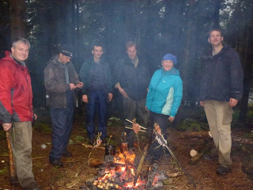
Next, Steven showed us how to prepare a trout and pin it so that it would cook over our fire. Also gave us a fire laying lesson. We split into 2 teams for this, our boys all tried to be bossy all at once which was quite funny. Chris and I let them play with fire and she and I made split sticks and prongs from the green wood, to poke the fish onto for cooking.
I had never filleted a fish before so this was a new experience for me and not as bad as I had imagined. We got the trout cooking, boiled up rice in billy cans held over the fire on our pot holders and were given some sweet potato mash and onions roasted in the fire. That fish was gorgeous, best I’ve had since Chris and I did mackerel on the cliffs above Combe Martin with Mandy in the dark many moons ago. During the cooking, the rain eased and finally stopped.
Chris and I had been a little anxious about the huge foot deep depressions we each had next to our tents. These had completely filled with water during the deluge. They now started to go down a bit.
I don’t really remember what we did after supper, a bit of chat. Willow was going to read us a bit from Jack London but it didn’t happen as the conversation went elsewhere.
They brought us cake at 9 o’clock and we had thought it would be nice cake but it was like the biscuits, cheap and cheerful but actually cheap and a bit depressing.

Fire gang
Fishy on a sticky

Sunday 4th September
I slept really well especially as the rain had stopped so I wasn’t fretting it was going to come in through the big pool.
Same old breakfast.
Off promptly for a walk, great as it was a lovely day. Down to the boat house where Woodsmoke keep some of their kit including some ancient snow shoes and saws etc.
We passed Three Dubs tarn next to the camp, and also Moss Eccles tarn which has a Beatrix Potter connection. A bit more plant identification and then we sat on a little hill and Steven gave us a lecture on water. Good information, all really useful. He is a very knowledgeable young man as well as easy on the eye.
Then back to camp and rolls again for lunch.
A bit on sharpening our knives and how to make sharpening boards which are easier to carry.
Our last activity was to attempt to make fire. Steven gave us a cracking demonstration but even he was panting afterwards and he is incredibly fit. Some of the others did manage it but Chris and I took quite a while to get the bow and spindle to make an ember. We managed to make a pile of dust which could quite feasibly have turned into an ember had we longer to practice. We were slightly hampered by giggles.
Then we got our bags into the Land Rover and travelled in it down to the bottom of the track with John.
Chris and I did a bit of pfaffing with our gear and then the boys turned up on foot and we said our goodbyes and got kissed by some of them.
We drove to Grizedale visitor centre, used the lovely loos with hot water and soap, and then walked up Carron Crag (one of Wainwright’s outlying fells) from where we had great views all round.
Back down and parked up in the National Trust car park for Beatrix Potter’s house in Near Sawrey. We had roast beef dinners in the Tower Bank Arms which were huge! And beer.
Then back to the car park at the bottom of the track and a walk that took at least 35 if not 40 minutes mostly in the dark back to camp. We even took a wrong turning right at last bit and ended up back by the boat house.
We said hello to the next lot of people who were staying for a week and then into the tents. The rain had started up again but we managed a drop of whisky each.

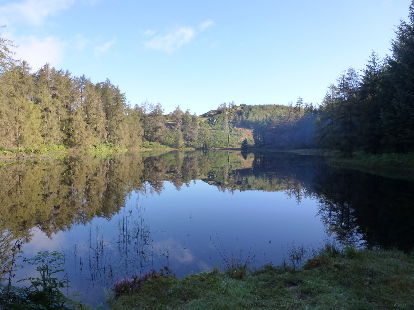
Three Dubs Tarn
Steven the Woodsman
Chris and boat house
Cloud inversion
Pike o’Stickle
Do Not Eat


[googlemaps https://maps.google.com/maps?f=q&source=s_q&hl=en&geocode=&q=Grizedale+Forest,+Grizedale,+United+Kingdom&aq=1&oq=grize&sll=54.350479,-2.949743&sspn=0.017534,0.052314&t=p&ie=UTF8&hq=Grizedale+Forest,+Grizedale,+United+Kingdom&ll=54.340673,-3.023257&spn=0.007505,0.012875&z=15&iwloc=A&output=embed&w=300&h=300]

Monday 5th September
I thought I would sleep well but neither of us did. I was too hot, then everything felt clammy and damp with the excessive amounts of rain. None came in just it was all around.
We packed up the tents, said goodbye to some of the newcomers and headed off loaded up back down the track. We ate flapjack and chocolate in the car. The rain was stop start so we went to Hawkshead and had bacon, Cumberland sausage and beans and toast and not very good coffee.
Then back to Near Sawrey and a tour round Beatrix Potter’s house which was lovely. As well as having a cup saying “A gift from Hastings” she also had netsuke, even a hare with amber eyes. The house was surprisingly small. We took our anoraks off so as not to give the army of volunteers more work to do, they were drying off people’s coats somewhat ineffectively with a tea towel. I didn’t check to see if it had bunnies on it.
Then we went to Ambleside and did a tour of outdoor kit shops, just for a change. We went to a coffee shop where I had had nice coffee before but today it was too weak. I took my watch to the jewellers to fit a new battery. I returned 10 mins later than the time he had said and he said he needed another 10 mins. I went back for it after lunch, all well and good but this same man had done the same thing when he took a link out for me back in March, perhaps poor timing is endemic in this part of the world? We lunched in Dodd’s Restaurant which was very good Italian fare. Mine was a bit more soup like than Chris’ – she had opted not to have the wild mushrooms. Can’t think why as now we know which ones we can eat!!
Back home, we both thought we would sleep well after the not sleeping. I dreamt that an atom bomb had gone off over Bristol and that I had to find a source of water…

Please visit Map and Compass and learn how to interpret a map with me and my navigation partner, Cath.
Edale navigation training

I had an annoying journey to Edale which included a road that was closed with a long diversion, various sundry road works and a horse box for miles and miles. It must have been a very sick horse requiring to be driven at 5 mph.
Finally arrived a mere 40 minutes late at Edale Youth Hostel but Cath D was very chilled and we set off promptly. Despite her having spent the last 2 weeks in India cycling in the sun, she had managed not to get tanned. Very interesting to hear all her tales.
Cath was giving me the benefit of her Walking Group Leader knowledge. CD passed it earlier on this year and on the ground we were planning to cover.
The first leg was quite hard for me to work out, we were getting a precise location by using the contours. It was a challenge as I kept being distracted by a fence which was on the ground but not the map.
We stopped for lunch early on, because of the late start, by a corner of the fence. I took this to be a corner boundary on the map however it wasn’t, so we then worked out where we were using the contours and finding the top of a little gully. Then the corner of walls were in the right places.
We followed the wall up using timing and pacing to find our next target. There was supposed to be another wall running parallel for a short distance but it was very hard to see as was completely overgrown. We then successfully found a stream marked on the map but mainly a bit of bog, but as we walked down to our next target, it actually became a stream we couldn’t see underfoot. In order to stop myself from slipping I grabbed onto a bit of foliage which unfortunately for me was a thistle. Ow!
Down to a much bigger stream which we crossed and then walked all the way up to the top. This was fun, lots of narrow ledges, slippery stones, and thigh high rocks to clamber up. CD is very nimble on her pins but I am an old goat really. Just as C was having a pee, a foreign gentleman turned up looking for his compass. We arrived at the top of the little gorge. Next target was to find a pond on the plateau. I followed my strategy of pacing, then taking a bearing and walking along the contour to find it. C walked further along the path to the end of a wall before taking a bearing to it. We both located a pond but whether it was the right one I’m not entirely sure. We then decided to walk to the next pond by pacing but it seemed to arrive sooner than it should have.
At this point, the heavens opened and we opted for returning to the YH. C quizzed me on nav and I gave her my specialist subject talk on the history of the YHA, with its connections to Ramblers, mass trespass, CROW, HF holidays (Cath now works for HF – brilliant, and is about to lead her first group on Dartmoor next week), Co-operative Holidays, etc. etc. She didn’t seem too bored, although did have a sudden burst of phone activity during this….!
We both then missed the turn back to the YH because of yattering on so. Got back at 18.00 so we’d spent 6 hours out and only covered about 5 km, if that.
It was really good getting out and being challenged. Cath is of course a great teacher (she encouraged me to get into teaching many years ago). Most enjoyable and good to walk in an area I don’t tend to go to much. Admittedly this is because the journey to get to the Dark Peak always seems to be hard work.
As I left the YH track there were some strange goat/sheep in the field next the track. They had goat faces and black and white sheep fleece.
It only took an hour and a half to get back, following another ruddy tractor for about 10 miles.

Cath and a misleading fence
The gorgeous gorge
Cath Cool
From well before the mass trespass
Clouds over Edale
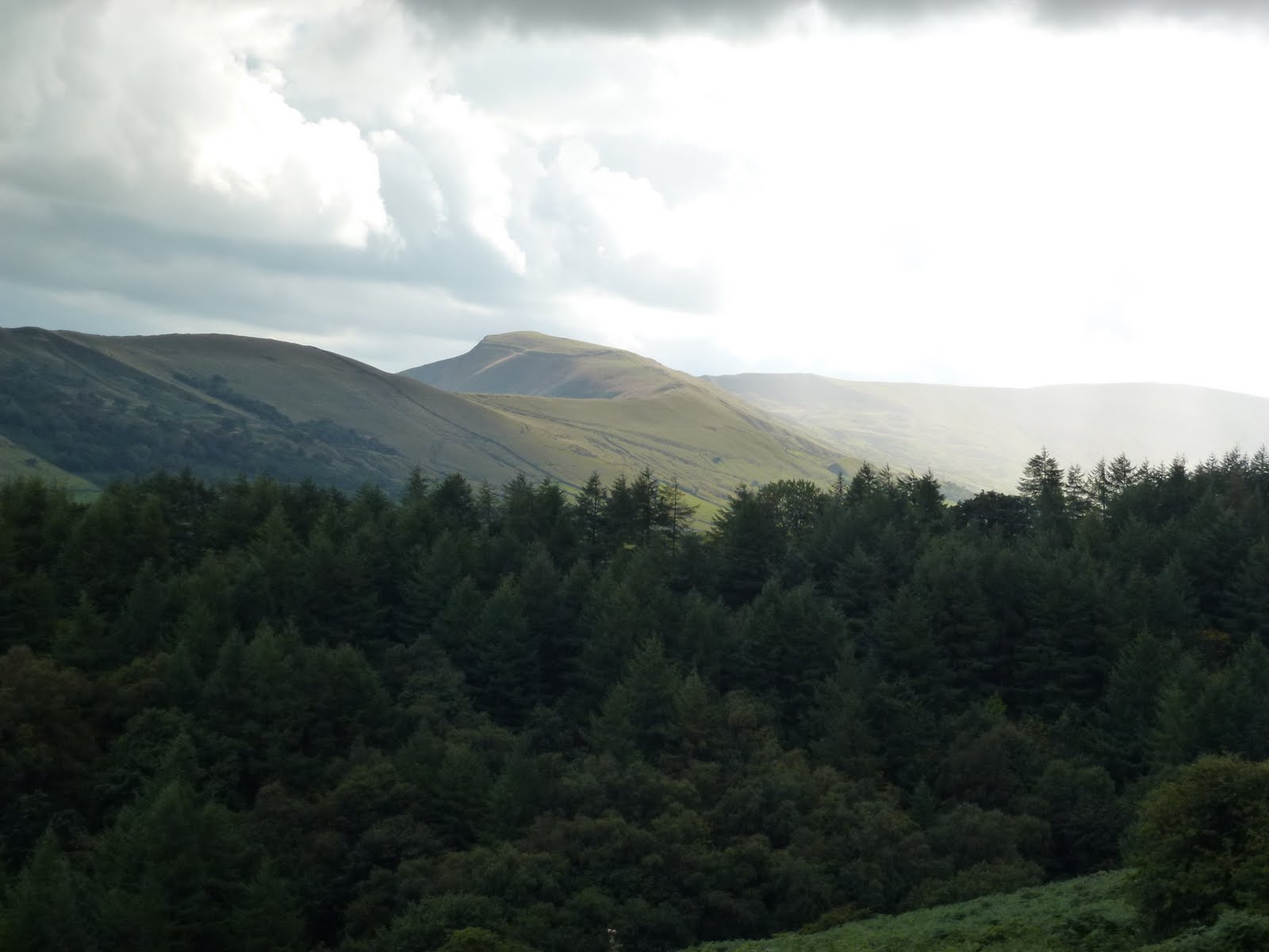
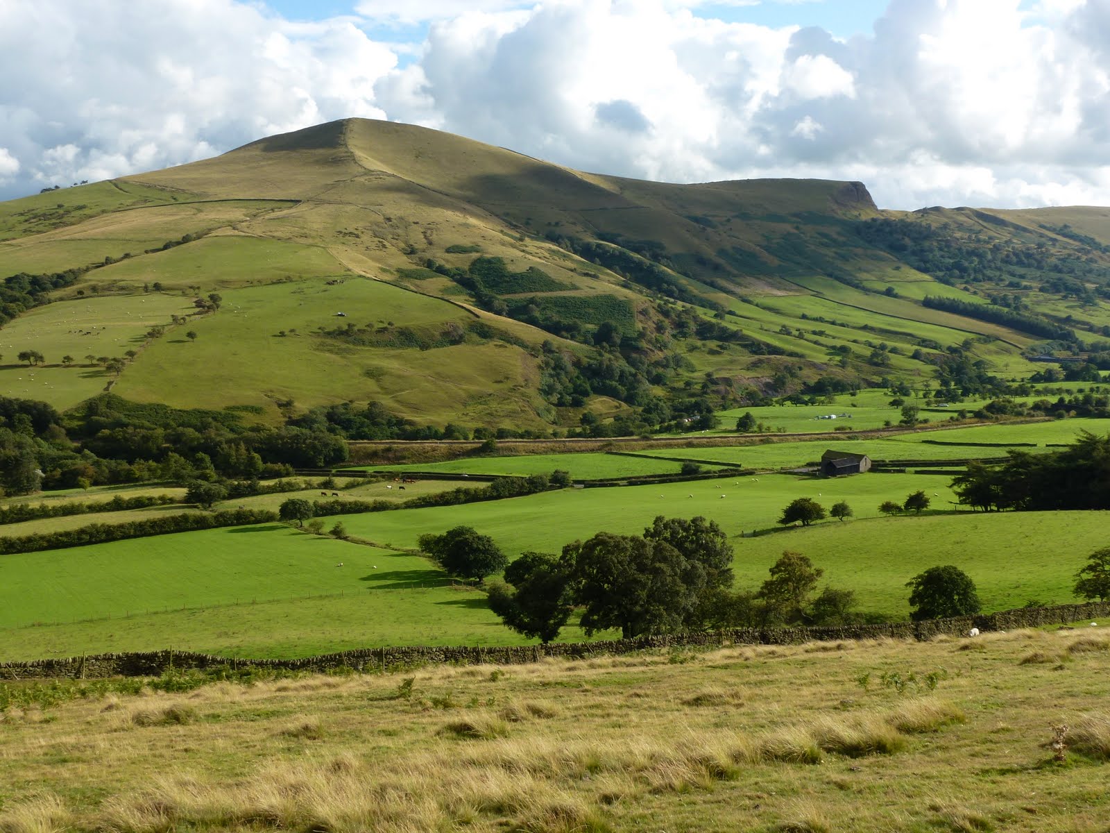
I think this is Lose Hill


[googlemaps https://maps.google.com/maps?f=q&source=s_q&hl=en&geocode=&q=Edale+YHA+Activity+Centre,+Hope+Valley,+United+Kingdom&aq=1&oq=edale&sll=47.73855,12.508828&sspn=41.506453,107.138672&ie=UTF8&hq=Edale+YHA+Activity+Centre,&hnear=Hope+Valley,+United+Kingdom&t=p&ll=53.357416,-1.740646&spn=0.030735,0.051498&z=13&output=embed&w=300&h=300]

Please visit Map and Compass and learn how to interpret a map with me and my navigation partner, Cath.
Hartsop Dodd

A leisurely start to the day including coffee at Lancaster services where I also bought a sandwich and a packet of crisps in M&S. I’d spotted Hartsop Dodd a couple of weeks ago and it took my fancy. I knew it would be steep straight away and it was a stiff climb. I took a breather after about a 100m of climbing for a call of nature whereupon I piddled all over my camera case. Considering it was holding my new camera, you will be glad to know that the case is waterproof! I’ve now washed it and will be giving it a squirt of Nikwax!
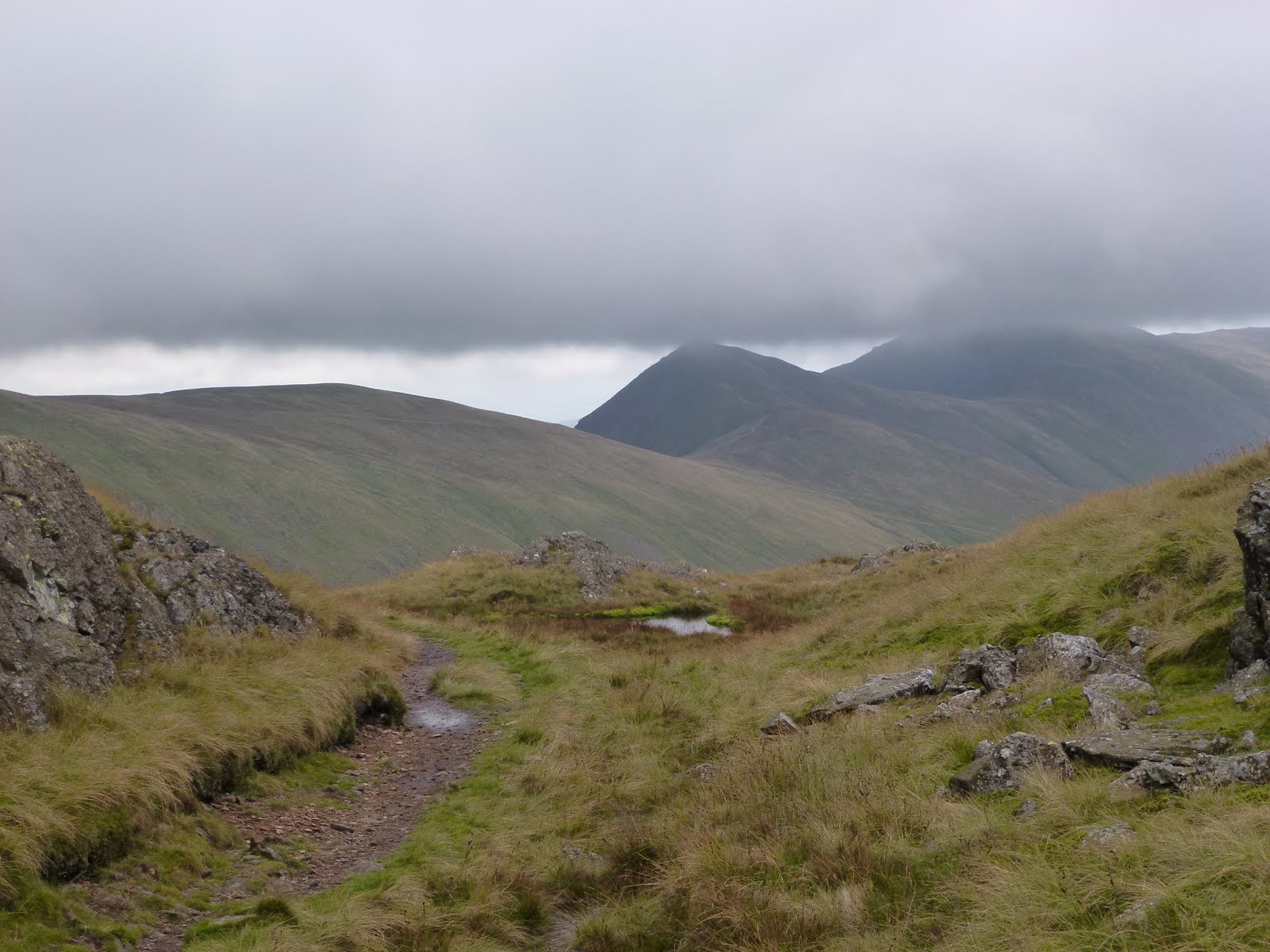
It took about an hour to get to the top of the Dodd so I stopped and had half my lunch. I wanted a longer walk so decided to carry on up to Stony Cove Pike (also known as Caudale Moor). I could see over to Thornthwaite Crag beacon which soon became obscured by mist. Although the mist loomed all day, I managed to miss it all which was great as I didn’t have to keep changing clothes. However one of my objectives was to have to navigate in mist but hey ho you can’t win ’em all!
The drop from Stony Cove down to Threshthwaite col is very steep indeed and basically 100m of scrambling which was great fun. I stopped at the bottom of the scramble and had the rest of my lunch.
Then it was down via Pasture Beck all the way back to the car. The path was much wetter than a fortnight back, more like a stream most of the way.
Good weather, good climb, good scramble descent, lovely.

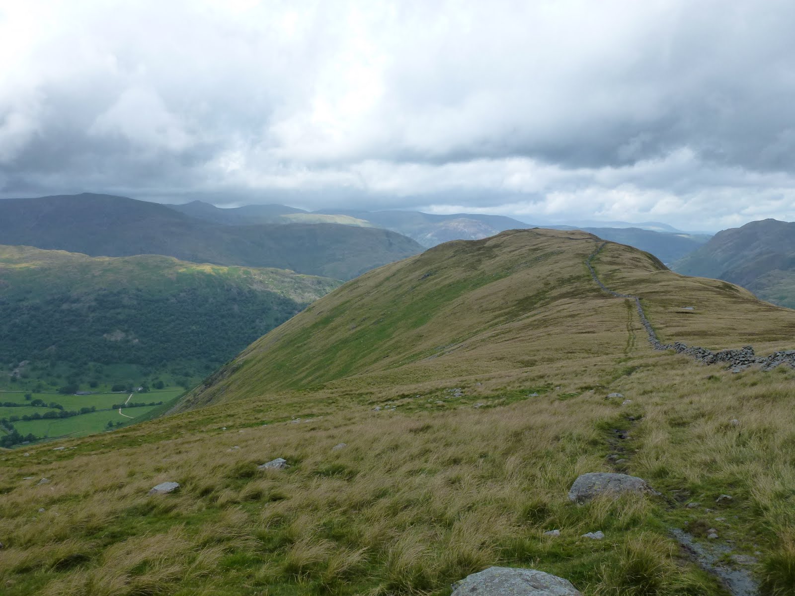
Hartsop Dodd
Looking back
On top of the Dodd
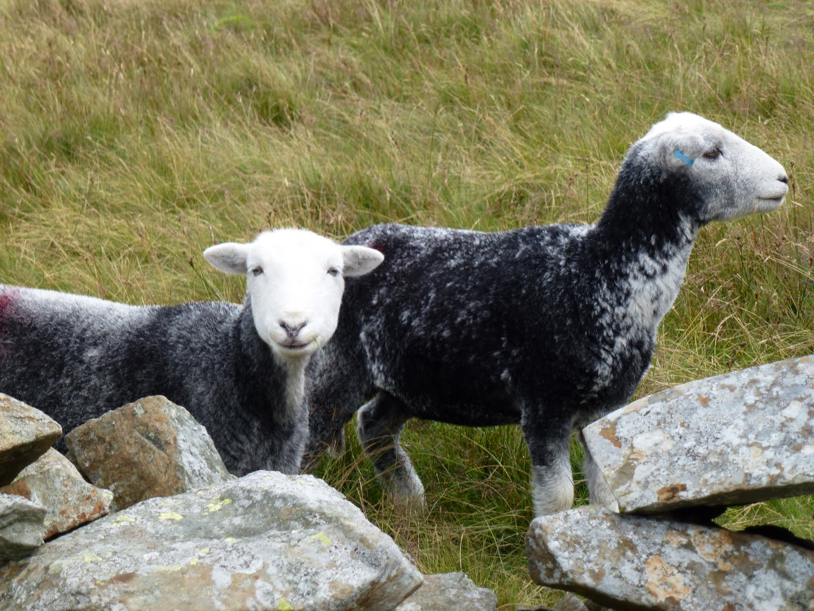
Herdwick sheep
Lowering clouds
Nearly back
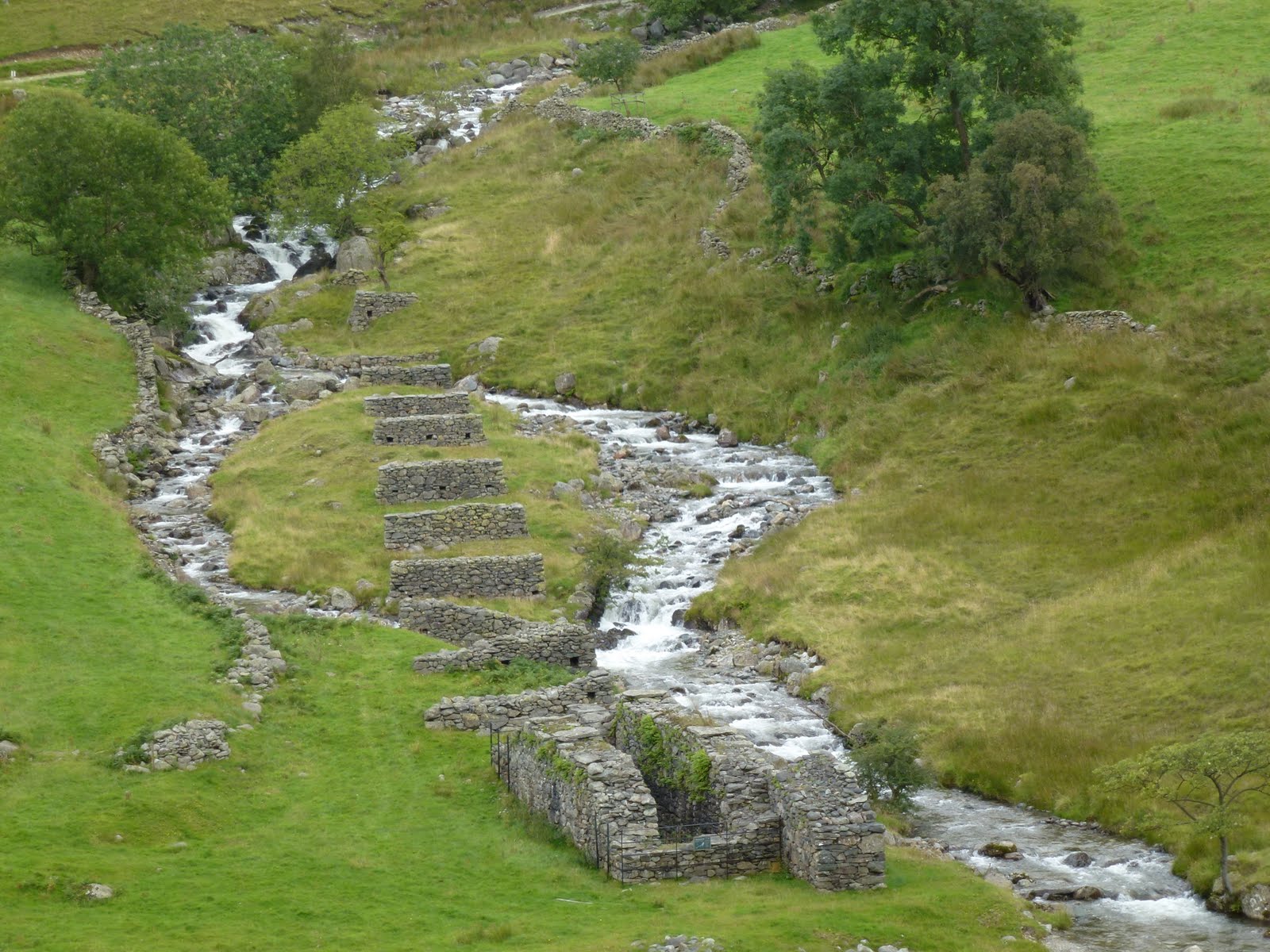
Not sure what these are for

[googlemaps https://maps.google.com/maps?f=q&source=s_q&hl=en&geocode=&q=Hartsop,+United+Kingdom&aq=0&oq=hartsop&sll=53.793463,-2.063957&sspn=0.018151,0.060339&t=p&ie=UTF8&hq=&hnear=Hartsop,+Cumbria,+United+Kingdom&ll=54.509772,-2.913351&spn=0.014949,0.025749&z=14&iwloc=A&output=embed&w=300&h=300]

Please visit Map and Compass and learn how to interpret a map with me and my navigation partner, Cath.
css.php