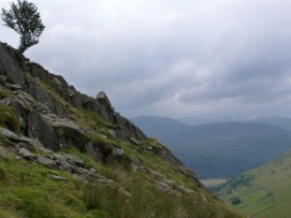
I set off somewhat later than planned and only arrived at the free (honesty box for donations to the school) car park in Hartsop at 11.45. Only 2 and a quarter hours to get to the centre of the Lakes with no stopping for coffee. The walk along Pasture Beck is a good warm up, and pretty to boot, just contouring along the valley. At the head there is a bit of a climb and then it’s a short section of scree from the shoulder with Stoney Cove Pike. That’s the one that Wainwright refers to as Caudale Moor which is just annoying as the Pike is a perfectly good name and is the summit. This time I headed east up to Thornthwaite Crag which has a great beacon to mark it. This looks a bit like some of the ones I saw over in the Dales. I wondered if it’s connected with the Roman road. I also wondered if you can get a Roman map of the Lake District as they must have made some.
I chatted with some fellas and one of them took my photo on my camera so for once on a solo expedition there is a picture of me but even though I showed him the zoom control and he claimed to be a photographer, his efforts are fairly rubbish.
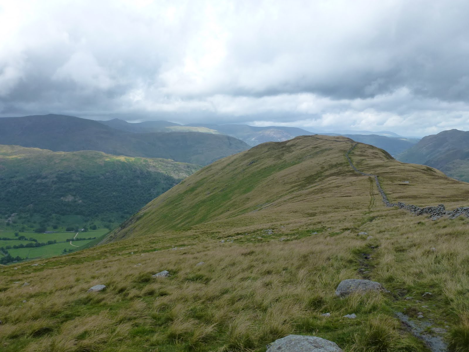
I could have whizzed up to High Street and back down that way but although I’m fond of it, I opted to bag another Wainwright and come down Gray Crag. This was a long, broad ridge and even though the map had a path that just stopped, I decided to go for it anyway as AW had said it was possible. There were signs that it was a maintained path, just a narrow one and the path did exist for real on the ground.
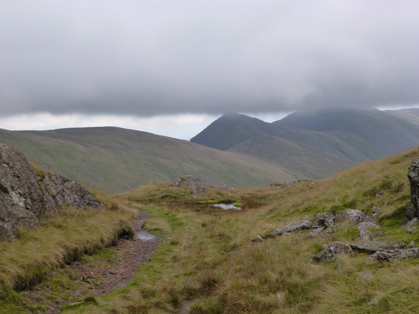
The weather was good, a bit of sun, a bit of cloud, a bit of wind and a bit of cool on the top.
 |
| Looking back towards Hartsop |
 |
| Beacon on top of Thornthwaite Crag |
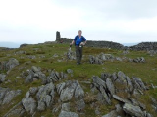 |
| Bloody useless photographer! |
 |
| Hayeswater and my boots |
 |
| Descent to Hartsop |
 |
| Hayeswater Gill |
 |
| My horseshoe |
[googlemaps https://maps.google.com/maps?f=q&source=s_q&hl=en&geocode=&q=Hartsop,+United+Kingdom&aq=0&oq=hartsop&sll=53.66049,-2.04408&sspn=0.018208,0.060339&t=p&ie=UTF8&hq=&hnear=Hartsop,+Cumbria,+United+Kingdom&ll=54.509772,-2.913351&spn=0.014949,0.025749&z=14&iwloc=A&output=embed&w=300&h=300]
Please visit Map and Compass and learn how to interpret a map with me and my navigation partner, Cath.