A leisurely start to the day including coffee at Lancaster services where I also bought a sandwich and a packet of crisps in M&S. I’d spotted Hartsop Dodd a couple of weeks ago and it took my fancy. I knew it would be steep straight away and it was a stiff climb. I took a breather after about a 100m of climbing for a call of nature whereupon I piddled all over my camera case. Considering it was holding my new camera, you will be glad to know that the case is waterproof! I’ve now washed it and will be giving it a squirt of Nikwax!
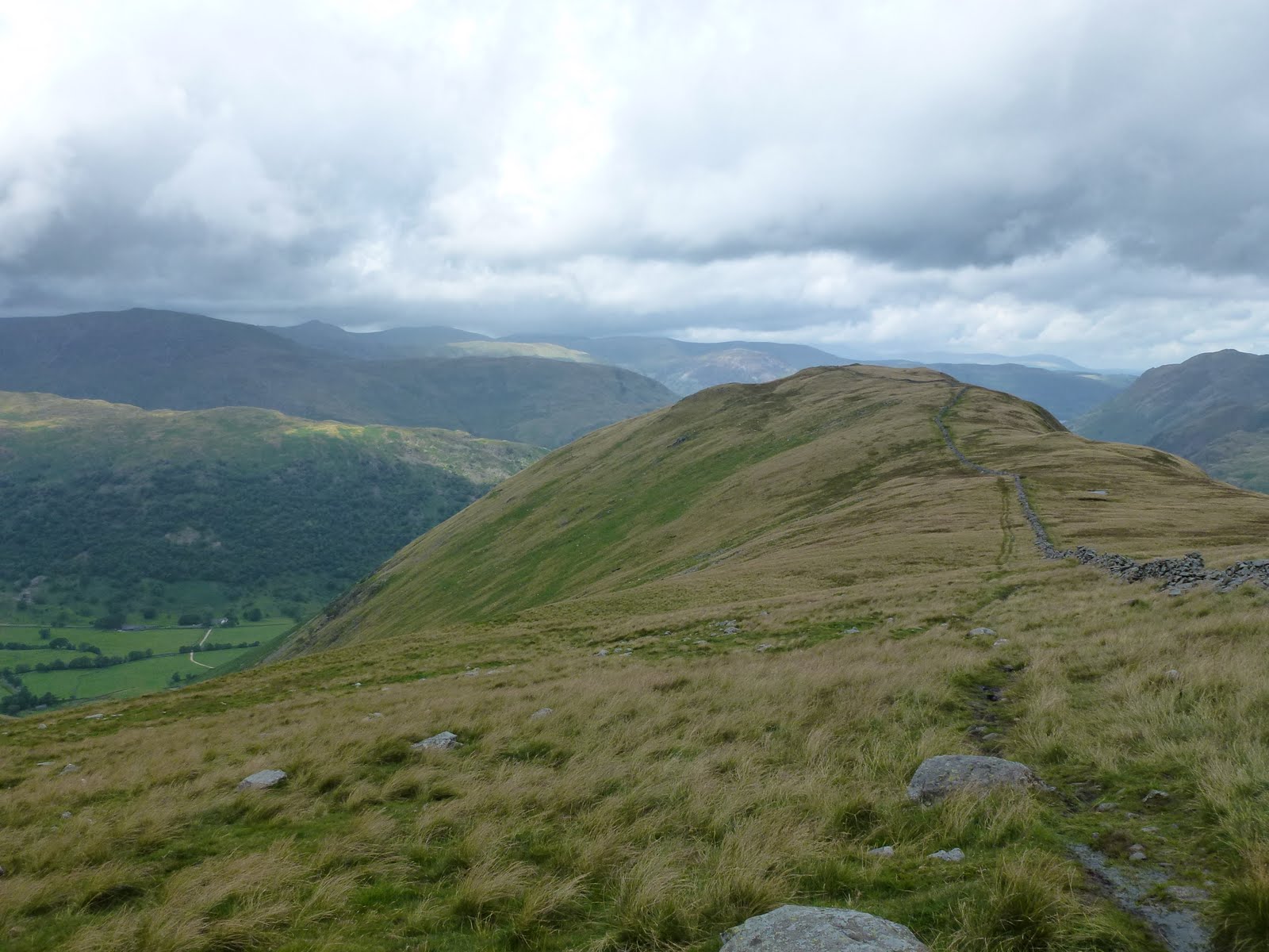
It took about an hour to get to the top of the Dodd so I stopped and had half my lunch. I wanted a longer walk so decided to carry on up to Stony Cove Pike (also known as Caudale Moor). I could see over to Thornthwaite Crag beacon which soon became obscured by mist. Although the mist loomed all day, I managed to miss it all which was great as I didn’t have to keep changing clothes. However one of my objectives was to have to navigate in mist but hey ho you can’t win ’em all!
The drop from Stony Cove down to Threshthwaite col is very steep indeed and basically 100m of scrambling which was great fun. I stopped at the bottom of the scramble and had the rest of my lunch.
Then it was down via Pasture Beck all the way back to the car. The path was much wetter than a fortnight back, more like a stream most of the way.
Good weather, good climb, good scramble descent, lovely.
 |
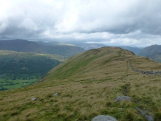
| Hartsop Dodd |
 |
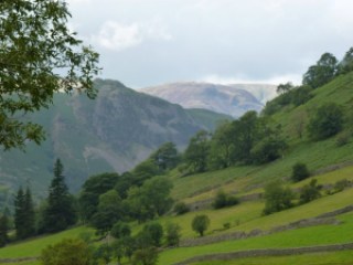
| Looking back |
 |
| On top of the Dodd |
 |
| Herdwick sheep |
 |
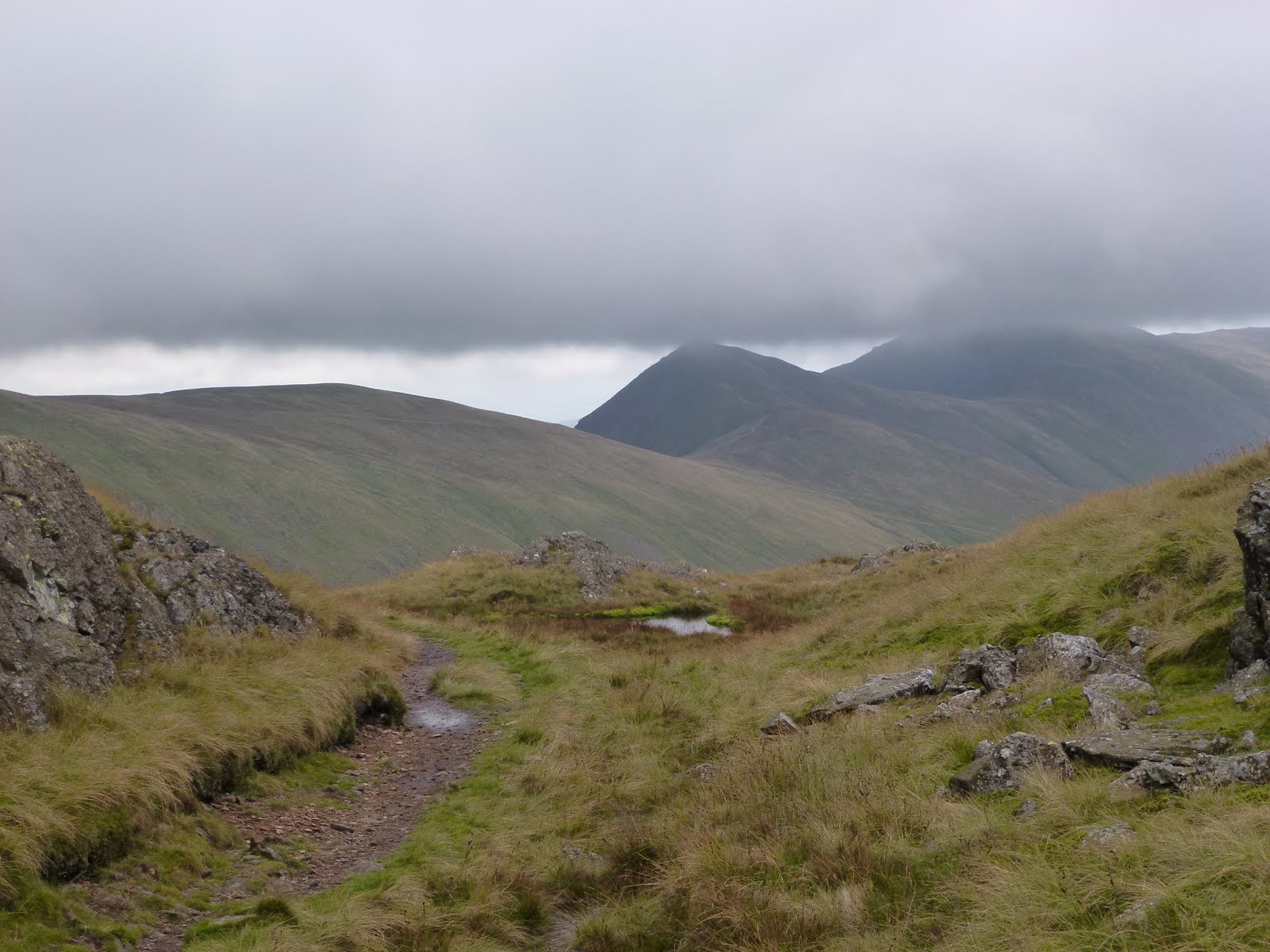
| Lowering clouds |
 |
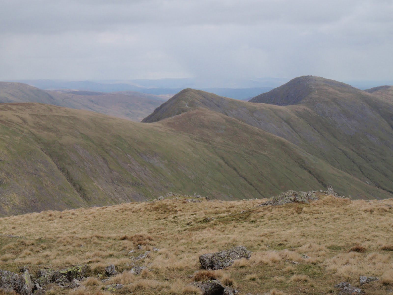
| Nearly back |
 |
| Not sure what these are for |
[googlemaps https://maps.google.com/maps?f=q&source=s_q&hl=en&geocode=&q=Hartsop,+United+Kingdom&aq=0&oq=hartsop&sll=53.793463,-2.063957&sspn=0.018151,0.060339&t=p&ie=UTF8&hq=&hnear=Hartsop,+Cumbria,+United+Kingdom&ll=54.509772,-2.913351&spn=0.014949,0.025749&z=14&iwloc=A&output=embed&w=300&h=300]
Please visit Map and Compass and learn how to interpret a map with me and my navigation partner, Cath.