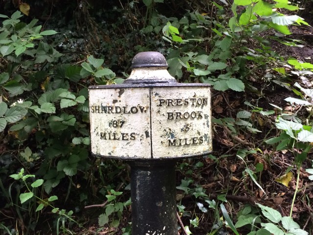
I trotted off to the Peak District yesterday and managed to arrive at Hope Sports Club before 9 a.m. There was a car boot sale on the playing field and it had some very nice coffee! I was very tired after my bike ride the day before and then yet another night not sleeping. I probably would be back to sleeping properly if I wasn’t so worried about my job situation.
Ian and Dave led the session, they are MIC and MIA instructors. This was the first run for this training and the idea is to look at coaching Mountain Leaders in how we train and how we assess people in navigation skills.
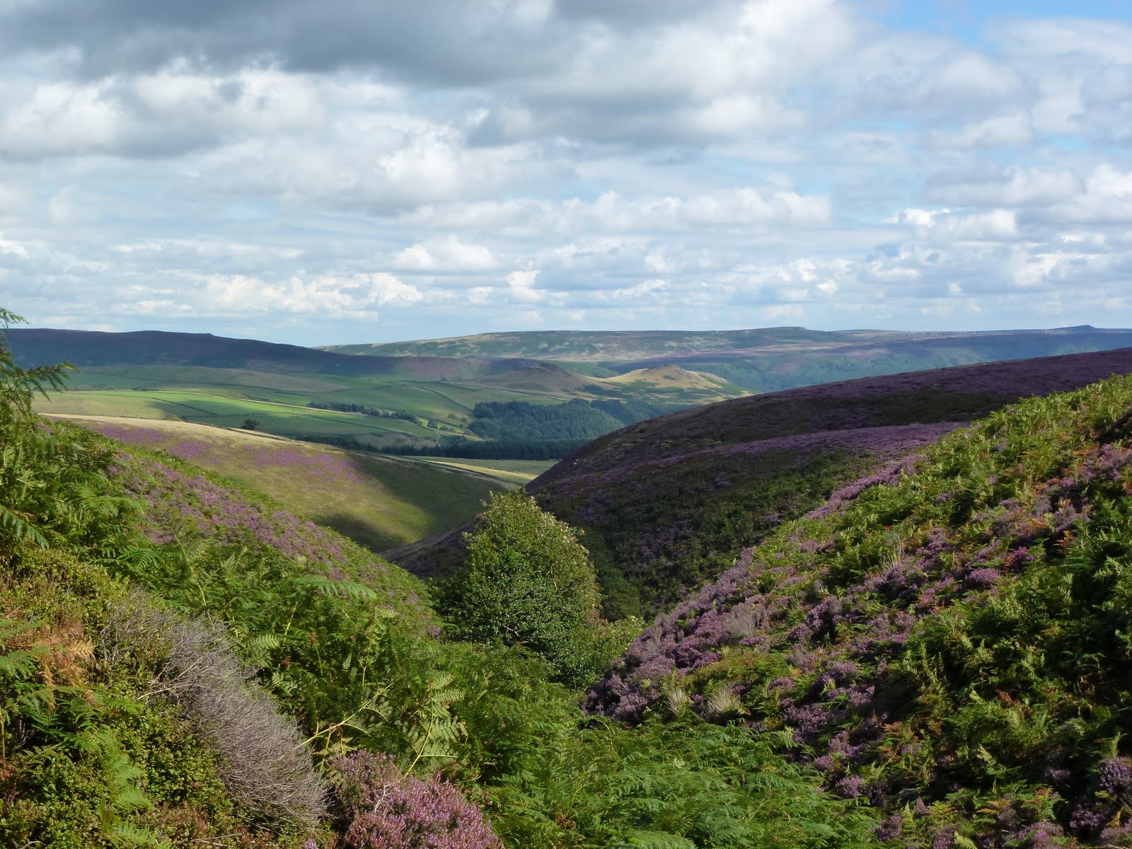
The how we train part was on the Saturday and I didn’t go to that day. The morning was looking at the what we are assessing in the classroom and the afternoon at how on the hill. All morning it was dry and sunny. We drove up the Snake Pass and parked up at the Snake Pass Inn. I got told off by a grumpy landlord but he allowed me to park after he talked to Ian and Dave. He seemed to think he was going to be swamped with customers because it was Easter Sunday, but perhaps his attitude went before him. The car park was almost empty and was the same when I got back there.
Needless to say, it rained all afternoon and with all the standing around it was cold. I’m so glad I have all the gear and it works. We split into assessors, assessed and observers. I kept forgetting what I was. The idea was that we were replicating an ML assessment and we looked for points where we could bring out learning points for students. Some good tips and strategies, e.g. forcing the use of the compass when it’s not needed because you can see where you are going, walking beyond the actual destination, not confirming or disagreeing with the suggestions of the candidates, getting candidates to put their maps away on a leg.
I found it very hard work on the hill and felt extremely unfit. I think it’s “just” stress. So debilitating. I feel angry with my employer for doing this to me.
We got back to the pub and had a short debrief. It was dark and gloomy inside and not very welcoming. No wonder he’s so short on customers!
Back home by 6 p.m. I always forget how near the Peak District is!
No photos, way too wet.
Please visit Map and Compass and learn how to interpret a map and use a compass with me and my navigation partner, Cath.
This is just a post to catch up for myself on walks I was unable to record at the time because more pressing things were going on. Keeping up with walking helped me to cope with the stresses of Chris’s illness, and she encouraged me to keep at it. Some of these walks I can barely remember, even with the photos as aide memoire.
2015
4th September
Stoodley Pike circuit.
11th September
Temple Newsam circuit with Carol who was having a 6 week stay in Jimmy’s in Leeds.
18th September
And another one round Temple Newsam. Chris was also having a 6 week stay in Morriston, Swansea during this time and I was driving down there as well as to Leeds and going to work.
1st November
Widdop reccy with Cath.
2016
19th March
Cath and I did a reccy for a walk we led in Barnton. A learning to navigate walk in an industrial landscape which we did in conjunction with Saltscape.
No entry if you are a fish
25th March
Walsden circuit including Quaker graveyard at Shoebroad Lane, with Babs.
First daft bird
Second daft bird
Just why?
Quaker burial ground, Shoebroad Lane, Todmorden.
Third
10th July
Barnton reccy with Cath.
30th July
Cath and I did a day showing people how to navigate using a map and compass. The day was organised by Saltscape and we had a good turnout.
We walked from Barnton along the Weaver in a circuit.
15th August
After work I did a quick walk to reccy this for my Brontes by Dark walk. I was attacked by flying ants, and it turned out so was the rest of the entire population of the UK. 9km
21st August
Babs and I did this as part of my preparation for my Wuthering Heights (Brontes by Dark) night walk. Good day out with my dear friend.
27th and 28th August
Good two days with lovely group of volunteer walkers from Bury. The weather held off and we had a grand time sending people off to their destinations and retrieving them once they’d arrived.
10th September
The Brontes by night with my 3 participants. We had a fun time drinking mead in the so called Wuthering Heights.
11th September
A Heptonstall walk with Babs, lovely weather.
20th September
Social media workshop in Hathersage run by MTA.
25th September
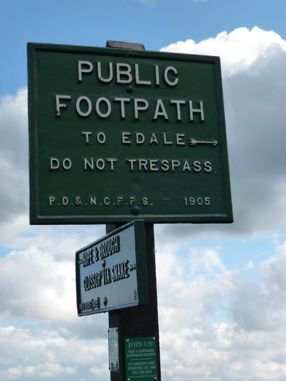
Reccy for an Edale walk which I handed over to a ML I met at the MTA do.
5th November
NNAS (National Navigation Awards Scheme) update training in Brocton. This was a very weird day in between Chris’s death and the funeral. Cath and I had to do the training because it’s a requirement to continue to deliver the scheme. The first person I saw when I walked in was a guy who Chris and I did a winter skills weekend with in the Cairngorms. This was in 2009 and I wasn’t blogging much then. We had a great few days up there.
16th December
Blackstone Edge circuit.
18th December
Todmorden circuit.
27th December
Withins Clough circuit.
28th December
Blackstone Edge, up Roman Road.
31st December
Hollingworth Lake with Babs.
2017
2nd January
Hebden Bridge circuit with Cath and pals.
14th January
Littleborough with Babs, frozen ground. She made me go to the pub!
22nd January
Stoodley Pike circuit.
Please visit Map and Compass and learn how to interpret a map and use a compass with me and my navigation partner, Cath.
This was an excellent day’s training. Such a contrast from the very poor training I was on for work this week.
I arrived at Barber Booth in good time. I can now get to the Peak District in under an hour and a half by using the M67, so much easier and quicker than the crow’s route.
There were 8 of us and Pete Hawkins, from the Silva Navigation School. There were 2 Marks, 2 Johns, Dom, Ken, and I think Steve, and me. We set off straight away to walk up to the access land using the OS 1:25,000 map. Once we were on the maps which only showed contours the oddest thing was not knowing the names of the places. Pete did tell us from time to time, but it was hard to remember and I don’t know that area very well.
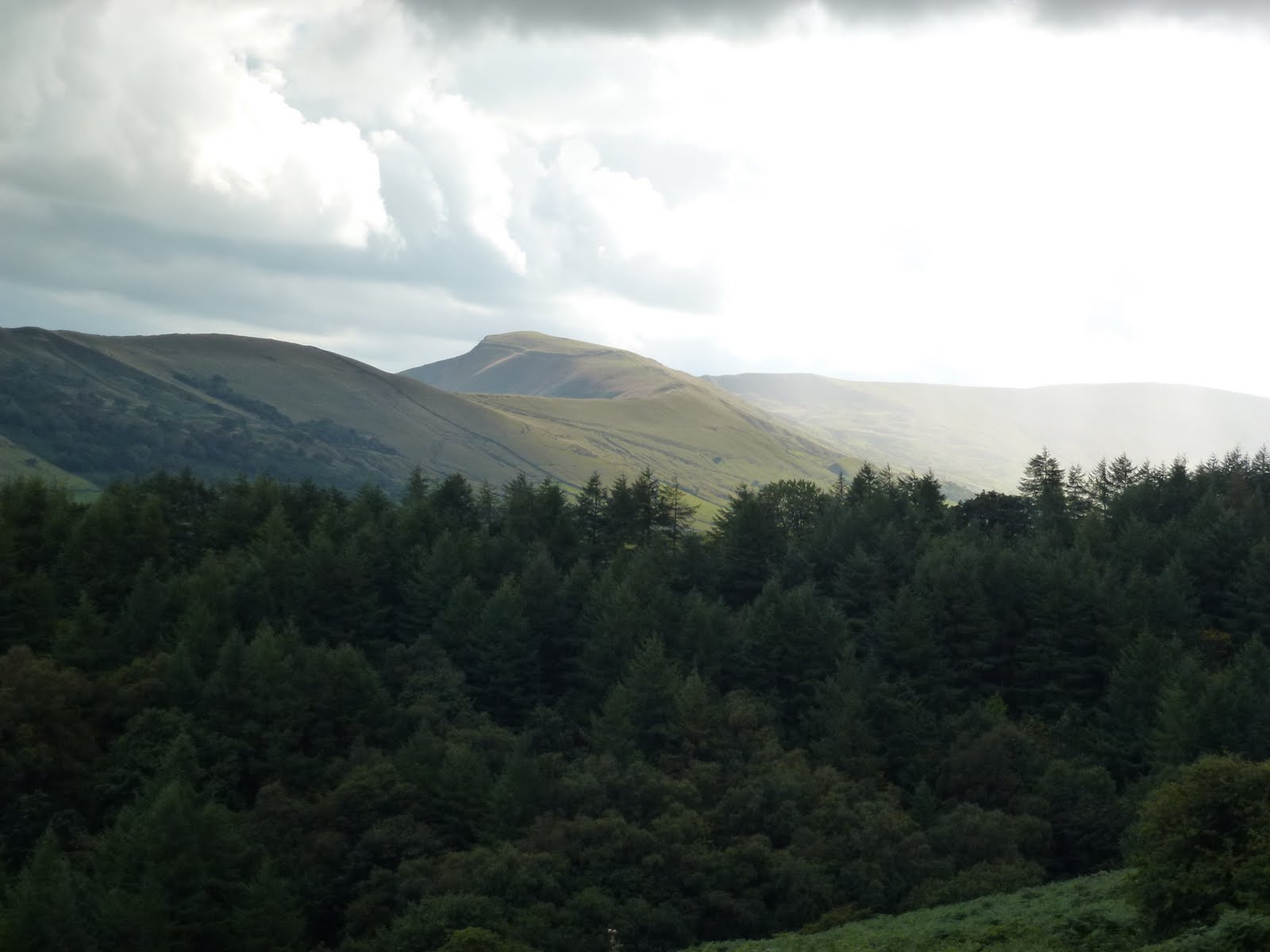
The pattern for the day was in pairs to locate spots that Pete gave us, these were spot heights, ring contours, little nicks in the contour line. We went up Broadlee Bank Tor via the spur, across below Grindslow Knoll, then into a maze of groughs above Crowden Tower where we stopped for lunch. We stayed mostly off the beaten tracks so this was a lovely sheltered and sunny spot. Then off again into the warren of groughs and hags. The hags are the bits that stick up and the groughs are the chasms. This section was hard going across the black wet peaty bits. We made our way to Pym Chair and then across and down a steep but springy heather section to Crowden Brook, back to the farm where there is camping and also tea and cake.
I’ve had to look at the OS map to get all the names right and it seems so cluttered and actually makes it harder. I’m going to get some more Harvey maps as although they have a lot of information on them, they are not so messy.
A thoroughly good day which has increased my confidence no end.
Pete in green with legs!Pym Chair
Please visit Map and Compass and learn how to interpret a map with me and my navigation partner, Cath.
This is the first time I’ve attended this event. I arrived on Friday evening in Castleton Hollowford Centre after a long and tedious journey because the M62 had shut, so instead of 1 and a half hours it took 2 and a half for what as the crow flies is really not far from here.
I shared a room with Hazel and Liz. I got the top bunk which didn’t have the lovely steps up I’d seen in the photos of the centre but the usual very hard to climb in bare feet ladder.
I spent the evening with Hazel and some other people including Jim who reminded me very strongly of my dear Dave, so much so that I had to keep telling myself he wasn’t Dave but enough to bring up all the memories of the times we had and make me feel sad (Dave died in 1996).
Back in room 5, we democratically negotiated turning down the heating. I never have any heating on at all in the night but do understand that some like it hot! We also set our alarms for 3 different times, Hazel’s not on a round number. I am rather taken with this idea, having always rigidly stuck to the hour or quarters, with an occasional foray to a 20 or 35 minute so may even experiment!
Saturday 2nd March
We didn’t really need the alarms and got up and going for breakfast of poached egg, hash brown, beans and toms and toast. We received an intro to the centre and the conference and then set off in our groups.
I’d chosen to do “Lumps and Bumps” which was about how to teach navigation skills. 6 of us went off with Phil Dowthwaite who was great, he is a Mountain Guide which is about as far as you can go in the awards. The day worked as a refresher with some good tips for keeping it simple when training others. I liked this approach as it’s quite easy to make navigation very complicated and it doesn’t need to be. I’m planning to do some navigation training this year with Cath so this day was very timely. We had quite a short walk but it was great to be out in the sun and almost warm when we had our lunch (tuna roll, apple).
We got back to the centre quite early so I attempted to have a shower however it was a miserable experience with the water barely lukewarm despite mega efforts to run it hot.
There was a short gathering before dinner which now I can’t remember what was covered, then dinner was a choice of curries with rice and chips and a poppadom. I opted for spinach and chick pea which was tasty. Followed by apple crumble and cream.
A visit to the bar and then in to the main conference room for a lecture by John Beatty who is a photographer and who has had a long history in the outdoors taking photos. The photos and the stories were great, but he should have stopped at the point where we had the interval. The seating in the room was incredibly uncomfortable for 2 hours which didn’t help. It was the complete opposite of when I saw Ranulph Ffiennes last year, he just came on, did an hour racing through his slides and went off very promptly.
The bar was still open so we helped to drain it. The Farmer’s Blonde, a good local brew and renamed by me as Farmer’s Daughter had finished so Jim and I moved onto whisky. I felt this would help with sleeping in the bunk.
Hazel went off to the room and I followed shortly after. When I got there Liz was already in bed, and Hazel was just going in the bathroom. She went in plunging me into darkness. So I went into the corridor with my rucksack and rootled about for my torch. I was on the verge of helpless laughing at this point but managed to restrain myself.
Went straight to sleep and actually had a decent sleep.
Oh, it’s a line of trees on the skyline!Big farm pussyThe navigation workshop group
Sunday 3rd March
Breakfast was much the same but with waffles instead of hash browns.
Mal Creasey gave us an update on things the MTA is planning which includes modules on Hill Skills. WGLs and MLs would go for a couple of days training which will then allow us to deliver Hill Skills or Mountain Skills, or both, depending on which awards we hold. This is something I definitely want to do.
Then we got into groups for our workshops. I’d chosen “Environment for Mountain Leaders”. This was run by Jim Longley from Nature’s Work. There were a lot of us (15 incuding Jim) which didn’t really work for me as I had to make sure I kept close to Jim to hear what he was saying and every now and then I would forget and have to trot along to where he was. He knows his stuff and dropped in some teaching aids which I know my pal Cath would like, including an environmental version of what she and I call “People Bingo”, plus we sat and drew pictures of geological events, I was terrible at this. We stopped for lunch (egg roll, crisps, apple), then we were given cards with clues for tree identification. These were all great ideas and have spurred me on to think about doing some of these, I think trees would be a good one for me to do. I’m going to splash out and buy a laminator now that I’ve found I can get one for £20. Along the way, Jim treated us to sloe gin and rose hip syrup which he makes himself and he has links to various recipes from foraged foods on his Facebook page.
We looked quite a bit at geology and I felt I had to think quite a bit which was great. We saw some fungi and looked at sedges and rushes. It’s a real treat to be with someone who knows so much. Much colder than the day before and we walked a little further but a great day out.
Back at the centre for more food (sandwiches, nibbles and cake) and goodbyes. It took me 1 hour and 20 minutes to get home.
Old landslip from the 90s. The land is still in motion.Sandstone changing to limestoneJew’s Ear fungusPeveril CastleShowing where rock has recently fallen off
Footnote
The Peak District is much more badly littered than both Snowdonia and the Lake District and littered much more on the hills which is really depressing. If it was cleaner I probably would walk there more often. Mostly on the Lakeland hills, once you’re away from the car parks, there’s nothing much. I felt really depressed last weekend too when we were in Wales as it was just dreadful everywhere although fine once you’re off the main roads.
Please visit Map and Compass and learn how to interpret a map with me and my navigation partner, Cath.
I had an annoying journey to Edale which included a road that was closed with a long diversion, various sundry road works and a horse box for miles and miles. It must have been a very sick horse requiring to be driven at 5 mph.
Finally arrived a mere 40 minutes late at Edale Youth Hostel but Cath D was very chilled and we set off promptly. Despite her having spent the last 2 weeks in India cycling in the sun, she had managed not to get tanned. Very interesting to hear all her tales.
Cath was giving me the benefit of her Walking Group Leader knowledge. CD passed it earlier on this year and on the ground we were planning to cover.
The first leg was quite hard for me to work out, we were getting a precise location by using the contours. It was a challenge as I kept being distracted by a fence which was on the ground but not the map.
We stopped for lunch early on, because of the late start, by a corner of the fence. I took this to be a corner boundary on the map however it wasn’t, so we then worked out where we were using the contours and finding the top of a little gully. Then the corner of walls were in the right places.
We followed the wall up using timing and pacing to find our next target. There was supposed to be another wall running parallel for a short distance but it was very hard to see as was completely overgrown. We then successfully found a stream marked on the map but mainly a bit of bog, but as we walked down to our next target, it actually became a stream we couldn’t see underfoot. In order to stop myself from slipping I grabbed onto a bit of foliage which unfortunately for me was a thistle. Ow!
Down to a much bigger stream which we crossed and then walked all the way up to the top. This was fun, lots of narrow ledges, slippery stones, and thigh high rocks to clamber up. CD is very nimble on her pins but I am an old goat really. Just as C was having a pee, a foreign gentleman turned up looking for his compass. We arrived at the top of the little gorge. Next target was to find a pond on the plateau. I followed my strategy of pacing, then taking a bearing and walking along the contour to find it. C walked further along the path to the end of a wall before taking a bearing to it. We both located a pond but whether it was the right one I’m not entirely sure. We then decided to walk to the next pond by pacing but it seemed to arrive sooner than it should have.
At this point, the heavens opened and we opted for returning to the YH. C quizzed me on nav and I gave her my specialist subject talk on the history of the YHA, with its connections to Ramblers, mass trespass, CROW, HF holidays (Cath now works for HF – brilliant, and is about to lead her first group on Dartmoor next week), Co-operative Holidays, etc. etc. She didn’t seem too bored, although did have a sudden burst of phone activity during this….!
We both then missed the turn back to the YH because of yattering on so. Got back at 18.00 so we’d spent 6 hours out and only covered about 5 km, if that.
It was really good getting out and being challenged. Cath is of course a great teacher (she encouraged me to get into teaching many years ago). Most enjoyable and good to walk in an area I don’t tend to go to much. Admittedly this is because the journey to get to the Dark Peak always seems to be hard work.
As I left the YH track there were some strange goat/sheep in the field next the track. They had goat faces and black and white sheep fleece.
It only took an hour and a half to get back, following another ruddy tractor for about 10 miles.