Pavey Ark 6th May 2012

I arrived at Dungeon Ghyll about 12 and parked in the hotel’s car park for £4 for the day as opposed to the national park authority’s car park opposite for £6.50. I’ve just found out there are National Trust car parks at Stickle Ghyll and Old Dungeon Ghyll so I could have parked for nothing. They weren’t very obvious is all I can say. I didn’t actually get going until 12.30.
My plan was to climb Pavey Ark via Jack’s Rake and then once up, do as many Wainwrights as I could fit in. Really I should have started earlier but I was so tired it didn’t happen. I know exercising more makes me less tired but at the moment I am very tired most of the time so in a vicious circle which is hard to break out of.
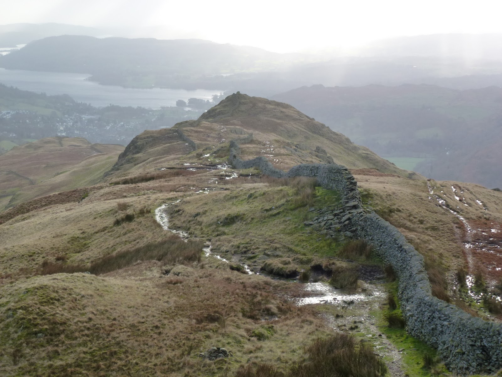
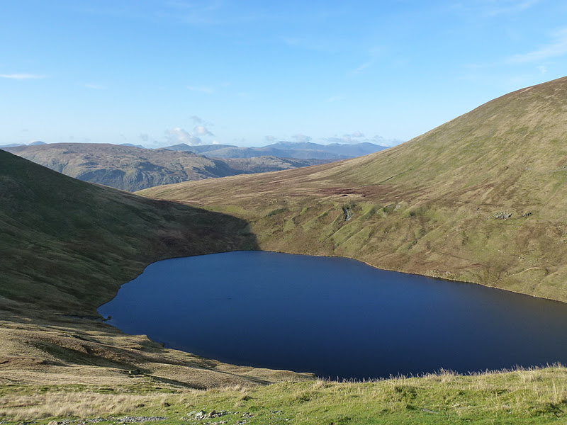
I got up Dungeon Ghyll easily, taking the right hand path but crossing over so as to be on the left side at the top. A dam is shown on the map which I guessed correctly that it would be walkable but I didn’t want to take any chances. The paths in this area are all very good and new. At Stickle Tarn, I turned left and got away from all the people and had my first lunch (falafel wrap, crisps from M&S).
I found the start of Jack’s Rake and almost immediately felt I was entering into climbing rather than scrambling, retreated, and then went and located the real start to the Rake just a few metres away. This was fine until I reached a section I just could not get up. I could have moved to the left but felt that to do this I needed to be wearing a hard hat. I know that lots of people go up here without one. I think also by this time I was feeling rattled so despite this hard won 50 metres of height gain, I again retreated. Part of me kept saying “if David Dodwell can do this, so can I” but by this time my confidence was dwindling. DD is an ex-colleague, lovely man and very fit! I was annoyed with myself as the conditions for doing the Rake were perfect, no wind, no rain.
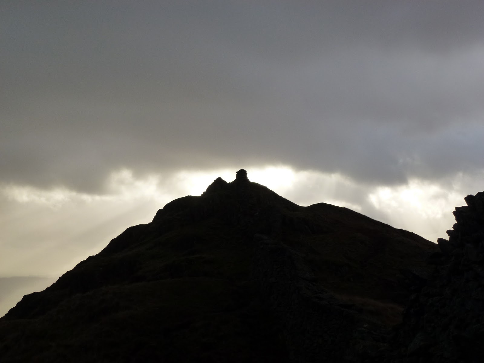
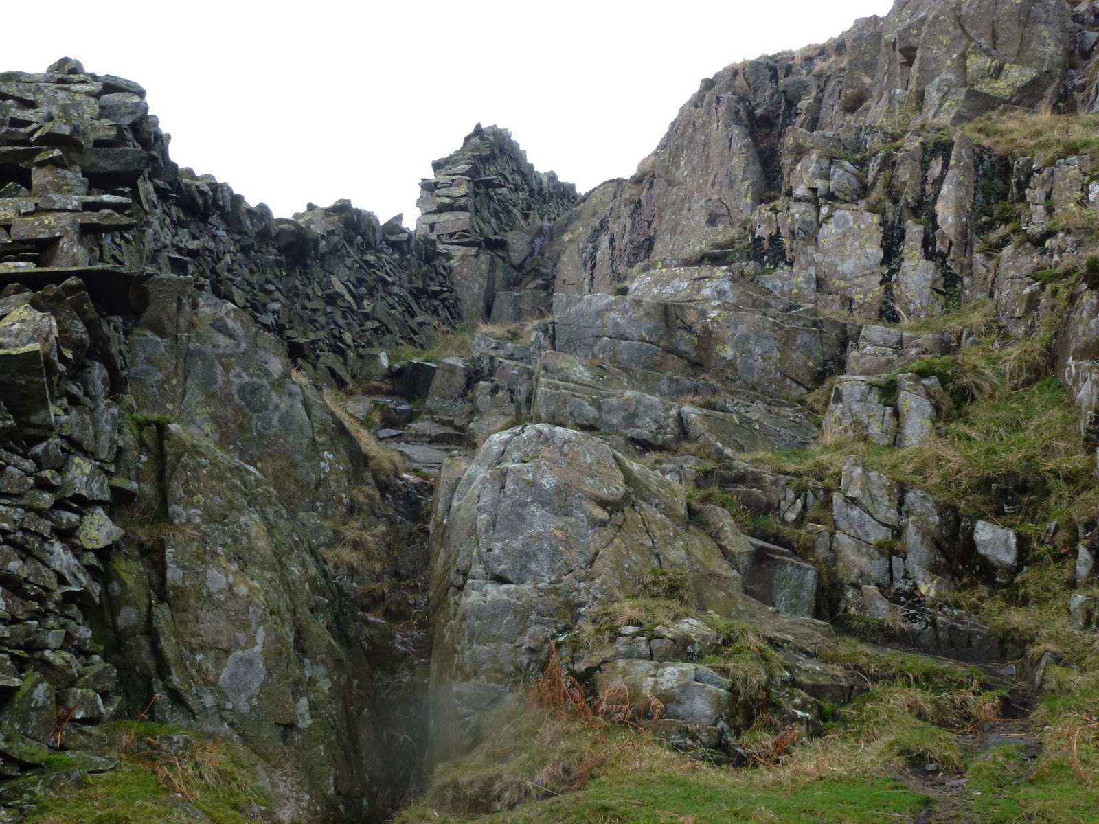
So then onto Easy Gully, Wainwright says this is fine except for one section where you need long legs. Fine it was until I reached this huge block of rock. I helped a teenage girl get up it by pushing on her bum (I told her I was going to do this and it was the only bit I could reach!), her friend or relation was pulling her up so I told him, once we’d got her up, that this is not a wise thing to do (because her weight, even though she was very light, would still be enough to pull him down, and I have just learnt this on ML training). Despite me chiding him, he very kindly offered to help me up, but  I said if I couldn’t get up under my own steam I would go back down again. I tried looking for alternative ways to get round the rock but it really was the only way. During one of these,  I slipped back down a rock and banged my knee. I just couldn’t do it and have no idea how this party which included a small child and a dog, managed to get up there. Let alone AW! Another retreat, back down 100 metres. Time for my second lunch which was almost identical to the first!
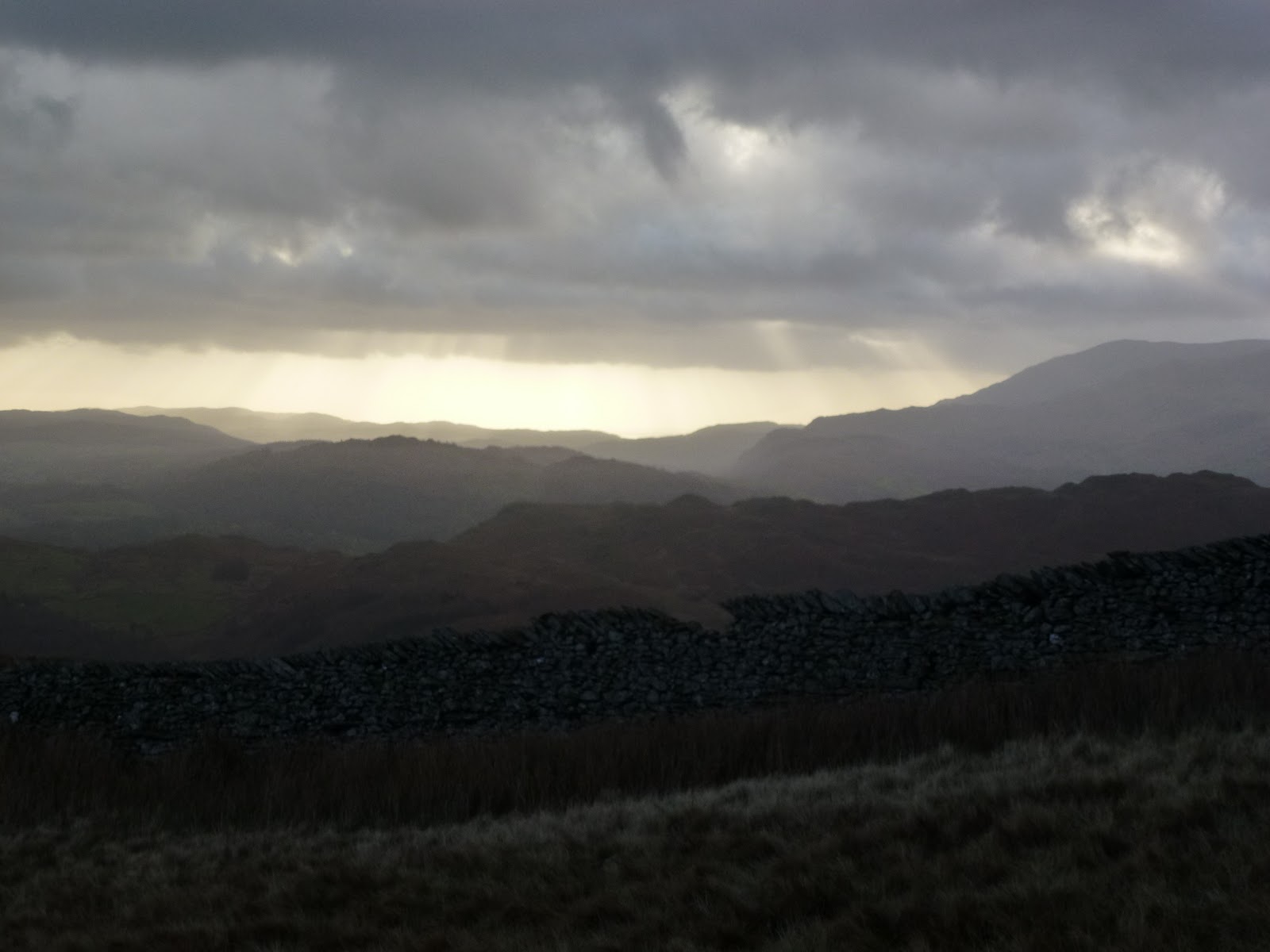
By this time I was starting to feel even more tired and fed up, but didn’t want to waste having driven 110 miles. I contoured round to what AW describes as a grassy slope. It no longer is as it’s been converted to a very good path, you can just see where the grassy slope was in places. This got me up to the top of Pavey Ark at last.
It was now well after 4pm and I needed to think about going home. So instead of skipping around on the tops gathering lots of Wainwrights very quickly, I had to go back down. I headed in the direction of Harrison Stickle, contouring around to reach the path. I passed a laminated photo of a child which someone had fairly ineffectively secured to the ground. Whilst I’m very sorry that the child has died, I can’t understand how anyone can think this is a good idea. All it needs is a big wind, which will probably be quite soon and then this just becomes detritus.
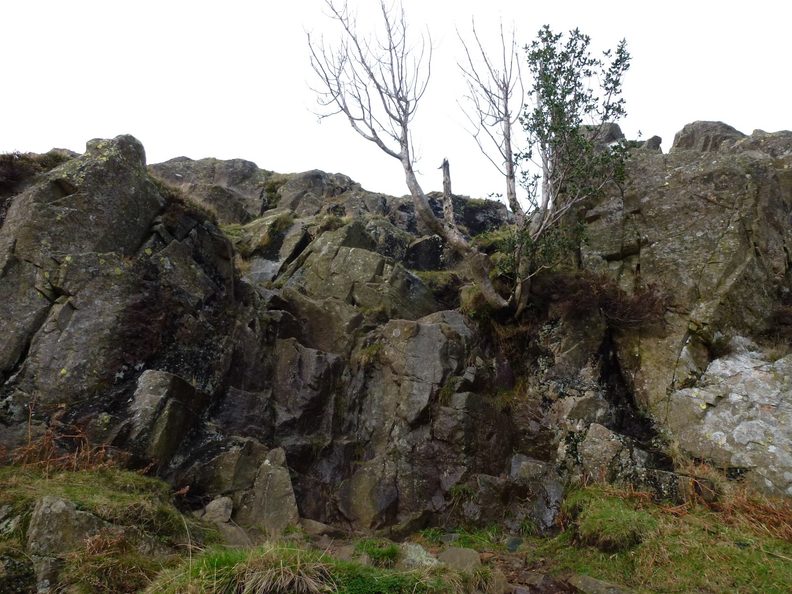
Lots of interesting rocks on Pavey Ark, some with big blobs stuck on and lots which look as if they’ve been sand blasted, which they probably have as it’s a form of volcanic sandstone. Just found out these are created by vesicles, pockets of vesicular gases which were created when the rock was molten.
I chatted to a man and boy going up as I went down. I’d seen them earlier. They also had bottled out of Jack’s Rake and also failed Easy Gully. What a misnomer that is. So it wasn’t just me but this didn’t make me feel any better.
The walk back down to Stickle Tarn was quite quick but the path back to Dungeon Ghyll seemed to take forever. I arrived back at the car just after 6pm and ate 2 energy bars.
This was not a Quality Mountain Day for me, but more a day of frustration, stress, tiredness. Weirdly it probably does fit into the ML remit for one, see below. No navigational incompetencies but very little achieved. It felt like all I did was either go up or go down without the relief of a little bit of flat. I did about 150 metres on top of the actual height of Pavey Ark (700m).
I used my Magellan GPS booster which extends my phone battery life and improves the GPS reception. Along with Memory Map on the phone, this worked really well and I’ve finally got a track of my route on my PC. I did 9 km in 5.5 hours. It does show however that I swam in Stickle Tarn, which is something Chris would do, but not me!

A QMD as defined for the Mountain Leader scheme:

  • the individual takes part in the planning and leadership
  • navigation skills are required away from marked paths
  • experience must be in terrain and weather comparable to that found in UK and Irish hills
  • knowledge is increased and skills practised
  • attention is paid to safety
  • five hours or more journey time
  • adverse conditions may be encountered

Now of course, I can’t help but think of other meanings for QMD! None for publication here though!

Since I wrote this, 2 people have died on Jack’s Rake, one of them was a man who is related to a woman I work with and the 2nd a woman a week later. It is not an easy scramble and needs real care and preparation.

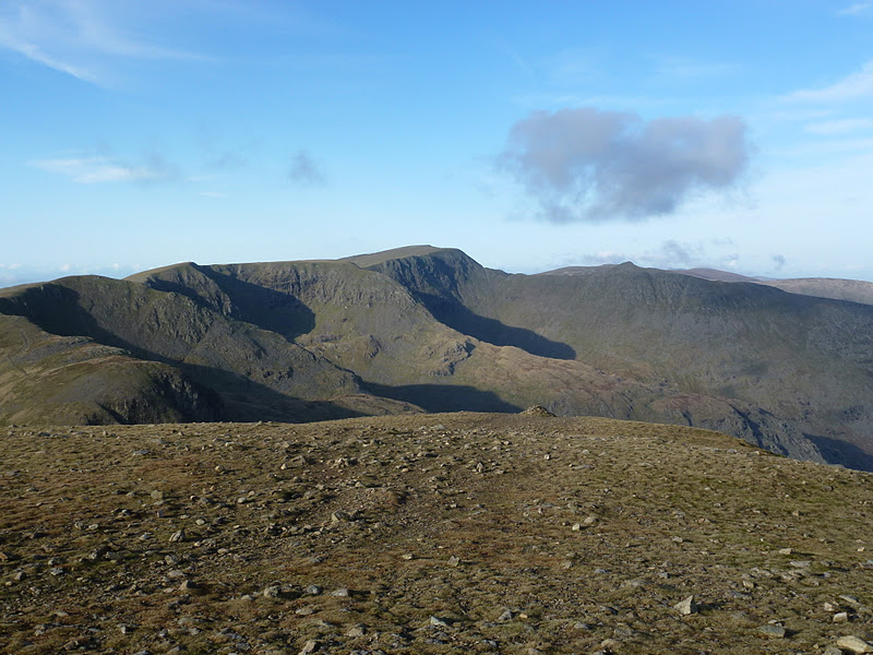
Pavey Ark from Stickle Tarn
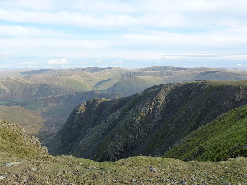
From Easy Gully
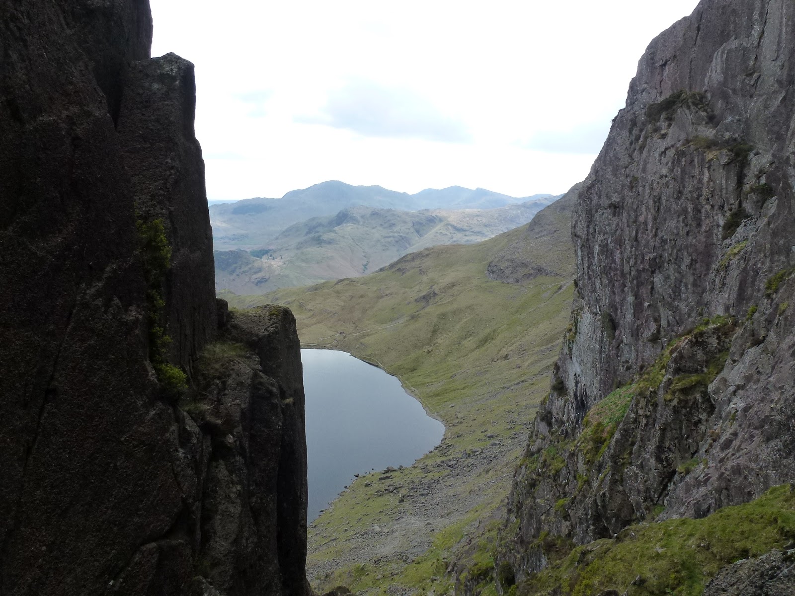
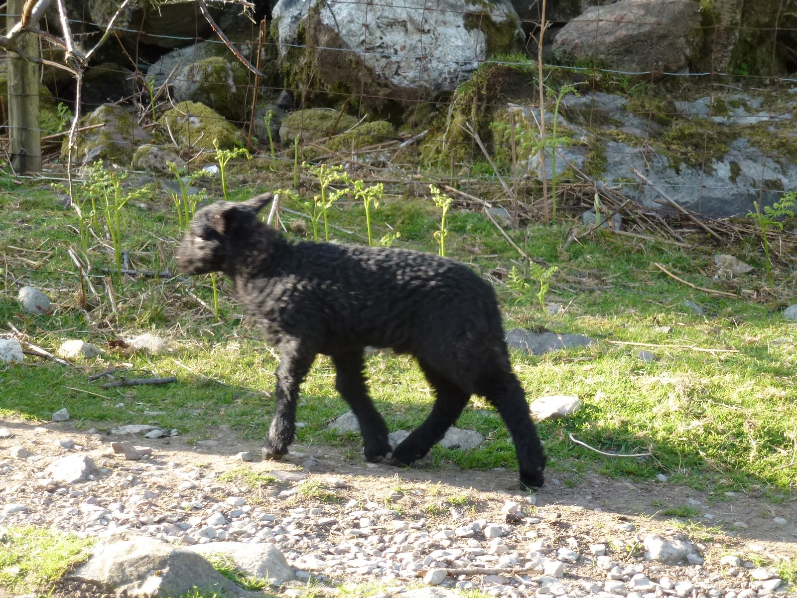
Defeated by big, bad boulder in the middle
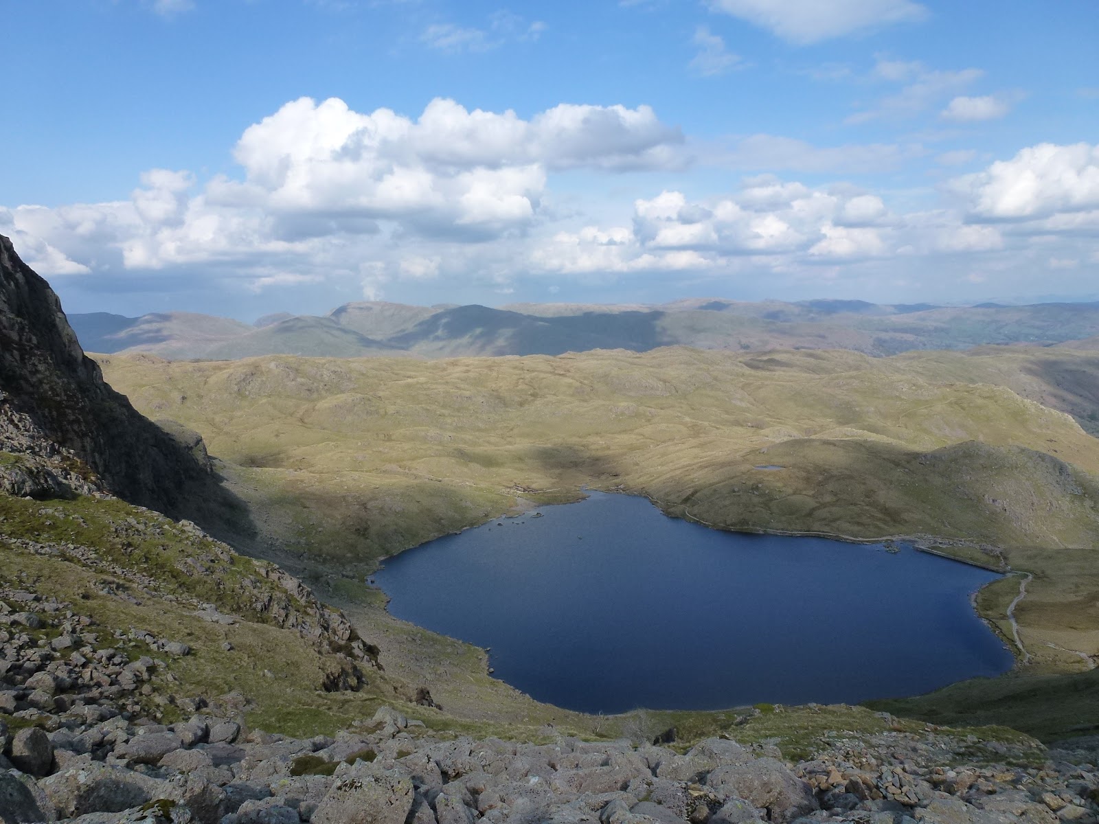
Stickle Tarn from Pavey Ark
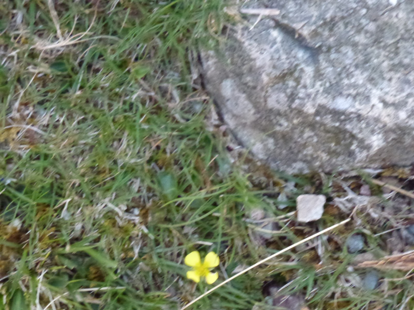
Tormentil

[googlemaps https://maps.google.com/maps?f=q&source=s_q&hl=en&geocode=&q=Great+Langdale,+United+Kingdom&aq=1&oq=great+lan&sll=53.10227,-3.9183&sspn=0.018062,0.052314&t=p&ie=UTF8&hq=&hnear=Great+Langdale,+United+Kingdom&ll=54.447037,-3.063898&spn=0.014972,0.025749&z=14&iwloc=A&output=embed&w=300&h=300]

Please visit Map and Compass and learn how to interpret a map with me and my navigation partner, Cath.

Low Pike, High Pike, 27 November 2011

Parked up in Ambleside for £6 for 5 hours. Bit pricey. I left the car park just after 11.00 and quickly found my way, always the hardest bit when starting off in towns. The Nook takes you along a lane which has several boarded up old buildings which appeared to be part of the University of Cumbria. It’s about a kilometre to Nook End Farm which also appeared uninhabited but they had left their outside lights on. You have to walk through the farm and then very soon you are at Lower Sweden Bridge which is to do with swithins although other than the saint, I’m not sure what they are. I did a bit of leap frog with a couple who annoyed me because I didn’t want to do that, but I soon left them behind. Going to the gym every day for the last week has paid dividends and I felt quite fit. It was pretty cold and windy but I stayed on the east side of a very tall wall which goes all the way up and it was a good windshield.
I was looking for what Wainwright describes as a “Bad Step” but didn’t see it. It made me think of the Hillary step but I’m not planning on going looking for that!
I got to Low Pike after a bit of scrambling and had a chocolate biscuit. I was wearing lined trousers which was just as well. I’d put them on after seeing the forecast that said on the tops the wind chill would be -15C.
Just before the land of bog I climbed a stile that had been constructed for giants, I consider I’m fairly averagely proportioned but I could hardly hold the 2 sides at the same time and the steps were also very deep. Then the huge expanse of bog which was quite hard to work through, but there are helpful signs saying “Deep Bog” and pointing the hapless walker to yet more bog. Considering this is part of the Fairfield Horseshoe, this section really needs sorting with stepping stones. I managed only to get a few footfulls. I also made a mental note not to be returning in the dark for this section.
At High Pike I got out of the wind and had my lunch of pate in a garlic pitta bread. It was still very cold with the wind. After wrapping up I decided to head back down as it was just too cold and windy to be much fun, I momentarily pondered how to deal with frost bite but soon warmed up my hands with the exercise. As I had remarked to Becks only the day before, on her not reaching the top of Cadair Idris, “the mountain will always be there”. Except of course if you live in the Appalachian mountains where mountain top removal has being going on for the last 50 years. I just find this thought so upsetting. After Carol and I watched Bladerunner last weekend, I checked up to see what Daryl Hannah was up to these days and found that she has been arrested several times for protesting about various environmental outrages including mountain top removal. Oh and Bladerunner is dire. What a gloomy film, it hasn’t improved in the 30 years since I last watched it.
I would probably have done more if it had just been one of those factors (cold or windy). I only had a few little bits of rain on me during the walk. My new hat works very well as it covers my ears, mad that I’ve been wearing an ineffective hat for so long.
On the way down I came across a few pounds and 3 keys. I was in a bit of a dilemma as to what to do with these and in the end I left them there on the grounds that if I had lost mine, I would retrace my steps to find my things. I hope the people to whom I think they belonged did that. I decided that taking them to the police probably wouldn’t help much.
On my return route, I located the “Bad Step” as I took a slightly different route and then came upon it and was glad that I was just going down it as it would have been quite hard to get up it, not possessing the giant arms and legs.

Back at the car, I changed my footwear and then went to the loo in the car park and although it was still light outside, there was no light inside so this was a real lot of fun. I had a quick look in the shops but failed on that particular mission so went home for a warm up.

Looking back at Windermere
The wall
Looks innocuous but made for giants
Back towards Low Pike
My picture to echo Wainwright’s drawing of the same. Note horizontal courses of stones.
Ray of light
Low Pike again
Strata
Blasted bog
Oh yes, and where exactly is the path?
The Bad Step looking really harmless
My actual ascent, not having noticed the Bad Step
Some colour at the end of the day

[googlemaps https://maps.google.com/maps?f=q&source=s_q&hl=en&geocode=&q=High+Pike,+Caldbeck,+Allerdale+District,+United+Kingdom&aq=0&oq=high+pike&sll=54.316667,-3.216667&sspn=0.017923,0.060339&t=p&ie=UTF8&hq=&hnear=High+Pike&ll=54.700027,-3.050079&spn=0.029759,0.051498&z=13&iwloc=A&output=embed&w=300&h=300]

Please visit Map and Compass and learn how to interpret a map with me and my navigation partner, Cath.

Old Man of Coniston and Dow Crag 12th November

Got up at the crack of dawn and whizzed off to Chris’ house. We set off smartly and stopped at Lancaster services for so C could buy out M&S and get coffee. I’d had a coffee at her house and it was very strong so I held off any more caffeine.
We took the top route to Coniston, via Windermere and Ambleside. The road to the Old Man is very steep but there is plenty of free parking once you get to the vehicle end of the Walna Scar Road.
There was a group of young lads carrying a very large log. More later.
It was 11.15 and not raining by the time we set off but the tops were in mist. We went along Walna Scar Road for a short distance. A girl appeared for a chat just as we were about to commence the climb. She seemed quite nice but clearly was going to be going much faster than us so we emphasised this as I don’t think either Chris or I wanted her to tag along.
A slow, steady climb past some old quarries, but the spoil heap higher than us so we couldn’t see inside it. Then we were in the cloud and stayed in it with some brief bursts of light and even some sun at times until we reached the top. The path we were on took us directly to the Old Man but on the map we should have reached a path across and then turned left so this was a path on the ground and not on the map.
It was still very misty on top of the Old Man so we sat to eat our lunches. Chris on falafel and hummous wrap and me on hummous and tomato pittas. We’d been very warm climbing up but now it was cold in the wind and we were glad of our layers and hats and gloves.
The boys with log appeared out of the mist. They all had Eddie Stobart shirts on and were doing “team building”. I am now considering instituting log bearing up steep hills for my team at work! We thought they were probably being rehabilitated. Then some mountain bikes came past and then another team of log bearers, so after a very quiet walk up only seeing 3 people, it was suddenly very busy.
I took a bearing and we headed off for Goat’s Hause. This is the col between the Old Man and Dow Crag. Just when we needed it the clouds parted and we got a view down to the col. Then up a bit more ascent with good views to Goat’s Tarn and onto Dow Crag, this has great gullies which were all in mist. On the ridge and along to Buck Pike and Brown Pike. It stayed misty but we had occasional openings to see a wider vista.
Down from Brown Pike and onto the Walna Scar Road where we turned left and headed back down and along and back to the car at 4.15 where we finished off our supplies and then drove home, stopping again at M&S for various future meal supplies.

Starting to rise
Log men
Chris at the top of the Old Man
Across to Goat’s Hause
Looking back to ridge between Old Man and Brim Fell
Very steep gully on Dow Crag
Chris disappearing into mist
Bridge on Walna Scar Road
Across towards west
To the west
Jak

[googlemaps https://maps.google.com/maps?f=q&source=s_q&hl=en&geocode=&q=The+Old+Man+of+Coniston,+Coniston,+South+Lakeland+District,+United+Kingdom&aq=0&oq=old+man+con&sll=54.509782,-2.91331&sspn=0.017839,0.060339&t=p&ie=UTF8&hq=&hnear=Old+Man&ll=54.370659,-3.12149&spn=0.03,0.051498&z=13&iwloc=A&output=embed&w=300&h=300]

Please visit Map and Compass and learn how to interpret a map with me and my navigation partner, Cath.

Fairfield, Great Rigg and Heron Pike 5th November 2011

I got to Grasmere at about 10.30 which was ok as I’d stopped at Lancaster services to buy some lunch and a coffee. I had an Americano. Back on the coffee. This is worse than giving up fags! The loos in Grasmere car park smell of old wee so not recommended. I drove through Grasmere as I’d always bypassed it before. I noted a Cotswold Rock Bottom shop for future reference. It’s clearly dining out on Wm. and Dorothy, more later on them.
I parked up on the verge of the A road along with everyone else. Across the road and up a track past some nice houses and then straight up through a bog. Great start to the walk. The path goes along Tongue Gill and winds up quite gently passing waterfalls. I saw no one all the way up to the top of Grisedale Hause. There’s a big flat plateau which may be the Fair Field. I ate my packet of crisps looking at Grisedale Tarn (nowhere near either Grizedale or Grisedale Pike!).

There was a man swimming across the tarn, must have been very chilly indeed. Also a helicopter rescue of someone on Striding Edge (again). Then the steep ascent to Fairfield which I found hard as have now had 6 weeks of the gym being shut so not had any exercise since we were in Scotland. The gym is being cleaned out from top to bottom because they found a tiny amount of legionella. I chatted to the manager the other day and as well as the refunds we may be getting a spin room set up to encourage us back in. I will go back as the best thing will be that the showers will have to be hotter because of this. Plus the convenience factor. It will be good to get up early because I’m doing something for myself and not just because I want an easy parking spot.
There was a large party of elderly women coming down from Fairfield but they all forgot the code to give way to those ascending which mildly irritated me as there were loads of them.
The top of Fairfield is another flat plateau and looks over to Seat Sandal which I summited in thick mist some time ago, you can also see a really long way around all the Lakes and nearby to St. Sunday Crag, Helvellyn and Great Rigg. I ate my lunch (1.5 bean and cheese wraps) and kept some back as had no energy bars or flapjack for an emergency. I pondered about Wm. and Dorothy Wordsworth as I recently read a Guardian freebie which was a sample of his pomes and her diary. I didn’t read the pomes but the diary was very like the Wordsmiths of Gorsemere which
was on Radio 4 Extra recently. When Wm. and D weren’t being ill with headach etc. they were charging about the hills a lot. But no Goretex, fleece, or Vibram soles. Did they take a packed lunch, did they just take a cup, what sort? And fill it from a stream? D picked a lot of plants from the fells and put them in her garden. They also came across a lot of beggars and had an active social life, sometimes out very late indeed,and it would have been very dark then. And of course the trials of having drug addled S T Choleric to stay!
A quick lunch and then what Wainwright describes as the easiest mile in Lakeland to Great Rigg and then on to Heron Pike so 3 Wainwrights all in one day. Here I took a right of way that had no path on the ground to get back to Grasmere. I’m glad I did this as I had to really navigate properly to do this safely. I went through a rocky outcrop (Butter Crag) and did a short scramble and then met up with a path back. This was good as I feel my nav skills have improved greatly and it’s good to put it into practice. 3 more elderly people were going up at 3.30 which seemed late to start going up hills.
I got back to the car just after 4 and it was dark by 5.
A good day with great weather and I have decided to do my exercises when I get in from work until the gym reopens.

Here is the only quote I can find of The Wordsmiths of Gorsemere by Sue Limb:
Dorothy – “Oh William! Look! DAFFODILS! Fluttering, and, as it were, dancing in the BREEZE!”
Wm. – “Not now, Dorothy, I am contemplating my Withered Turnip”.

Tongue Gill
Nearly at Grisedale Hause
Grisedale Tarn
Across to Striding Edge
From Fairfield
Butter Crag
Nearly back

[googlemaps https://maps.google.com/maps?f=q&source=s_q&hl=en&geocode=&q=Fairfield,+Patterdale,+Eden+District,+United+Kingdom&aq=1&oq=fairfield&sll=54.362676,-2.917245&sspn=0.560899,1.377411&t=p&ie=UTF8&hq=Fairfield,&hnear=Patterdale,+Cumbria,+United+Kingdom&ll=54.362958,-2.91687&spn=0.240044,0.411987&z=10&iwloc=A&output=embed&w=300&h=300]

Please visit Map and Compass and learn how to interpret a map with me and my navigation partner, Cath.

Bushcraft in the Lakes

Friday 2nd September
Chris and I made a good start, both managing to leave work early and setting off mid afternoon. An easy journey stopping of course at Lancaster services and loading up on caffeine and chocolatey goodies, just in case we never saw food again.
We stopped in Windermere and went to Booths as Chris had a desperate urge for instant hot chocolate and I got some trail mix. Then we drove down to the little ferry that goes across the lake and waited for it. £4 and 15 minutes later we were across the lake and parked up at the Cuckoo Brow pub in Far Sawrey.
We took some beer out into the garden and sat with the most handsome man on his own who turned out to be Steven, who we were meeting. Gradually the party assembled around our table. Woodsmoke‘s Land Rover no. 2 was being repaired and so this meant that we had to wait for some late people on the train. Eventually we set off, driving the car up the road to the front of a farmhouse, off the road, where we were leaving it for the weekend. Then all 10 or so of us loaded our bags onto the Land Rover which went off and  we set off for our 10-15 minute walk along the track to the woods. 10 minutes was more like 35 and when I looked on the map it’s over 2 km which even at 4 kph would be 24 minutes minimum so I felt Steven was a bit inaccurate with his measuring.
By the time we reached camp it was completely dark and really really dark as in the deep forest, well deep enough. The first job was to collect our bags and pitch our tents – “anywhere you like, plenty of flat and dry areas”. So off we toddled, having rooted out our head lamps, and gathered all our bags. We had not gone particularly lightweight owing to the promise of the Land Rover for the kit, however it might have been more sensible if we had as we now had to clamber across broken trees and a stream in the dark. We found somewhere flat but covered in branches, and then somewhere flat but soft and mossy so that’s where we pitched.
It was my first time with the new ultra lightweight tent, and I tried to put it up with the pole in the wrong place, fortunately Chris could see straight away what was wrong and helped me get it right.
We went back up the hill to the parachute which was strung up and provided a large dry circular area with seating and a fire for gathering round. We got the introduction talk which was mainly common sense and hygiene which is fine by me, we were a group of 13, with Chris the only girl, although I got added to her and we became a plural! Our leaders were Steven who lives in Edinburgh, John the apprentice and Willow, a Dutch woman who lives on a smallholding in Scotland. Then we got a tour of the camp, the hand washing area, the pot washing area, the badger bin, the bog box (loo roll box as signal that loo was occupied), the kitchen, and finally the latrine. By this time, I was a bit rattled and panicked as it had been quite a challenge putting the tents up in the dark and so I promptly made use of the latrine, someone had to start it off!
We then had some soup and bread and went to bed.
I slept quite well as the bed was pretty comfy and warm and then it started raining….

[googlemaps https://maps.google.com/maps?f=q&source=s_q&hl=en&geocode=&q=Far+Sawrey+-+Bowness-on-Windermere,+South+Lakeland+District,+United+Kingdom&aq=0&oq=far+sa&sll=53.350961,-1.769571&sspn=0.017957,0.052314&t=p&ie=UTF8&hq=&hnear=Far+Sawrey+-+Bowness-on-Windermere&ll=54.353505,-2.931805&spn=0.015006,0.025749&z=14&output=embed&w=300&h=300]

Saturday 3rd September
I woke to the sound of Chris gently snoring, her alarm and the torrential patter of rain. We got all the anti wet gear on and located the breakfast. You could have Alpen type muesli, Weetabix and corn flakes; tinned fruit salad or tinned pears and that was about it. I went for muesli and fruit salad. Then over to the parachute for tea, coffee or fruit tea. The coffee was instant and horrid but necessary. I didn’t want a coffee cold turkey headache.
Class started promptly at 9 and Steven, even more gorgeous in the daylight, introduced us to saws, knives and bevels. After a session of this, we went off armed with folding saws, to cut down saplings. We also did a bit of mushroom identification. This warmed us up although the rain showed no sign whatsoever of ceasing its torrent.
Steven showed us how to cut a piece of green wood with the knife and then how to cut a notch and a bevel and a spike to create a pot holder. This was very satisfying.
Willow had also brought back some alder that she had cut down, for us to use to make a butter knife. This was much harder and was a project we returned to in quiet moments and interludes, and for myself, made absolutely no improvement, but some really picked it up quickly and made some very acceptable shapes e.g. a fish, a whale.
Our companions were, Joe, Gez, Simon, Rich, Hugo, Ashley, Matt, Bruce, Andrew, Andy and the one I can’t remember who reminded me of Andy our builder.
By the time we’d done all this, it was lunchtime, actually I can’t really remember. Lunch was bread rolls with various nice fillings and salad and dressings, this was not bad at all.
Maybe the carving bit was after lunch. At some point we got a bit chilled in the wet again so off we went armed with saws, this time to cut a piece of standing dead wood.
Dragged this back to camp and this we used to make feather sticks, as demonstrated most expertly by Willow. Then over to us, and boy was this difficult.
Steven gave us a short lecture about shelters as the rain meant we weren’t going to get one made, he mentioned knocking up a loom in an hour and using soft rush to weave a mat in just another half hour. We didn’t try this but double all his timings!
Next, Steven showed us how to prepare a trout and pin it so that it would cook over our fire. Also gave us a fire laying lesson. We split into 2 teams for this, our boys all tried to be bossy all at once which was quite funny. Chris and I let them play with fire and she and I made split sticks and prongs from the green wood, to poke the fish onto for cooking.
I had never filleted a fish before so this was a new experience for me and not as bad as I had imagined. We got the trout cooking, boiled up rice in billy cans held over the fire on our pot holders and were given some sweet potato mash and onions roasted in the fire. That fish was gorgeous, best I’ve had since Chris and I did mackerel on the cliffs above Combe Martin with Mandy in the dark many moons ago. During the cooking, the rain eased and finally stopped.
Chris and I had been a little anxious about the huge foot deep depressions we each had next to our tents. These had completely filled with water during the deluge. They now started to go down a bit.
I don’t really remember what we did after supper, a bit of chat. Willow was going to read us a bit from Jack London but it didn’t happen as the conversation went elsewhere.
They brought us cake at 9 o’clock and we had thought it would be nice cake but it was like the biscuits, cheap and cheerful but actually cheap and a bit depressing.

Fire gang
Fishy on a sticky

Sunday 4th September
I slept really well especially as the rain had stopped so I wasn’t fretting it was going to come in through the big pool.
Same old breakfast.
Off promptly for a walk, great as it was a lovely day. Down to the boat house where Woodsmoke keep some of their kit including some ancient snow shoes and saws etc.
We passed Three Dubs tarn next to the camp, and also Moss Eccles tarn which has a Beatrix Potter connection. A bit more plant identification and then we sat on a little hill and Steven gave us a lecture on water. Good information, all really useful. He is a very knowledgeable young man as well as easy on the eye.
Then back to camp and rolls again for lunch.
A bit on sharpening our knives and how to make sharpening boards which are easier to carry.
Our last activity was to attempt to make fire. Steven gave us a cracking demonstration but even he was panting afterwards and he is incredibly fit. Some of the others did manage it but Chris and I took quite a while to get the bow and spindle to make an ember. We managed to make a pile of dust which could quite feasibly have turned into an ember had we longer to practice. We were slightly hampered by giggles.
Then we got our bags into the Land Rover and travelled in it down to the bottom of the track with John.
Chris and I did a bit of pfaffing with our gear and then the boys turned up on foot and we said our goodbyes and got kissed by some of them.
We drove to Grizedale visitor centre, used the lovely loos with hot water and soap, and then walked up Carron Crag (one of Wainwright’s outlying fells) from where we had great views all round.
Back down and parked up in the National Trust car park for Beatrix Potter’s house in Near Sawrey. We had roast beef dinners in the Tower Bank Arms which were huge! And beer.
Then back to the car park at the bottom of the track and a walk that took at least 35 if not 40 minutes mostly in the dark back to camp. We even took a wrong turning right at last bit and ended up back by the boat house.
We said hello to the next lot of people who were staying for a week and then into the tents. The rain had started up again but we managed a drop of whisky each.

Three Dubs Tarn
Steven the Woodsman
Chris and boat house
Cloud inversion
Pike o’Stickle
Do Not Eat


[googlemaps https://maps.google.com/maps?f=q&source=s_q&hl=en&geocode=&q=Grizedale+Forest,+Grizedale,+United+Kingdom&aq=1&oq=grize&sll=54.350479,-2.949743&sspn=0.017534,0.052314&t=p&ie=UTF8&hq=Grizedale+Forest,+Grizedale,+United+Kingdom&ll=54.340673,-3.023257&spn=0.007505,0.012875&z=15&iwloc=A&output=embed&w=300&h=300]

Monday 5th September
I thought I would sleep well but neither of us did. I was too hot, then everything felt clammy and damp with the excessive amounts of rain. None came in just it was all around.
We packed up the tents, said goodbye to some of the newcomers and headed off loaded up back down the track. We ate flapjack and chocolate in the car. The rain was stop start so we went to Hawkshead and had bacon, Cumberland sausage and beans and toast and not very good coffee.
Then back to Near Sawrey and a tour round Beatrix Potter’s house which was lovely. As well as having a cup saying “A gift from Hastings” she also had netsuke, even a hare with amber eyes. The house was surprisingly small. We took our anoraks off so as not to give the army of volunteers more work to do, they were drying off people’s coats somewhat ineffectively with a tea towel. I didn’t check to see if it had bunnies on it.
Then we went to Ambleside and did a tour of outdoor kit shops, just for a change. We went to a coffee shop where I had had nice coffee before but today it was too weak. I took my watch to the jewellers to fit a new battery. I returned 10 mins later than the time he had said and he said he needed another 10 mins. I went back for it after lunch, all well and good but this same man had done the same thing when he took a link out for me back in March, perhaps poor timing is endemic in this part of the world? We lunched in Dodd’s Restaurant which was very good Italian fare. Mine was a bit more soup like than Chris’ – she had opted not to have the wild mushrooms. Can’t think why as now we know which ones we can eat!!
Back home, we both thought we would sleep well after the not sleeping. I dreamt that an atom bomb had gone off over Bristol and that I had to find a source of water…

Please visit Map and Compass and learn how to interpret a map with me and my navigation partner, Cath.

css.php