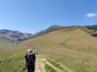
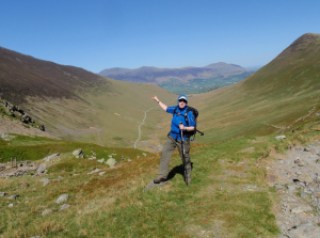
Woke up nice and early and got the coffee on. We piddled about a bit and had our yoghurt and compote and muesli breakfast, followed by more coffee. Before long we were on the way to Braithwaite via the Whinlatter Pass. We parked up off the road as by this time the car parks were quite busy. A short hop up to the start of the walk at the first car park. Up steps for a steep section and then a fairly leisurely meander along until Sleet How. There were a few other parties on the fell, including a group carrying up a rather large baby.
At the steep section near the top it had become increasingly windy and gusty. A woman coming down seemed a bit antsy and then a young couple coming down said it was even worse at the top. We were at this point nearly at the top. As we got up both Chris and I had to get down on all fours to get our centres of gravity as low to the ground as possible. I used my pole to get more anchorage too. We made it up and then took respite against the wall of rock on the summit. The summit is very pointy and fortunately we weren’t sharing it with anyone. However thanks to bending so low, my map, which had been secured by only my rucksack belt, had taken off in the wind, never to be seen again. I was sorry about this, as the map case had been a present from Carol but also because I didn’t like not having the map.
After we had got our breath and wits back, we made our way down to the shelter for lunch, samosa for me, gala pie for Chris and shared some salad. I had brought Mr Wainwright up on this walk, despite his weight and this helped us with mapping.
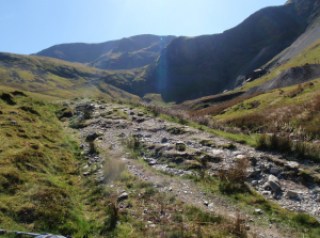
We decided not to carry on to Hopegill Head as it was too windy. So instead wound our way down the top of the valley and back past old mine workings to Braithwaite along a long miners’ track.
We came out at the other side of the car park from which we’d started, back to the car and then drove it up to the now nearly empty car park and brewed up a cup of tea and finished off our cake!
Returned home stopping at Tebay for more supplies.
I have assured Carol that we did make a sensible decision despite appearances and that our route was well designed as we had no further wind problems because of direction of travel. I can’t say the same for the party that subjected a baby to such conditions, nor for those who were descending via that route. At least the wind was pretty much pushing us against the mountain and the unpleasantness was for a very short amount of time.
700m ascent
Quite a lot of along too but can’t measure it right this minute as have no map!
Please visit
Map and Compass and learn how to interpret a map with me and my navigation partner, Cath.
 |
| At the Bradleys’ camp site |
 |
| Grisedale Pike that way |
 |
| From the summit, holding on tight to camera |
 |
| Safe in the shelter |
 |
| Wind woman, in more ways than one! |
 |
| Swirly path down |
 |
| Chris descending |
 |
| We were just there |
 |
| Wake me up when we get down |
 |
| I know you are laughing even though my eyes are shut! |
 |
| We were up there too |
 |
| Nice cup of tea, Gromit |
 |
| Wow, another big achievement! |
Please visit Map and Compass and learn how to interpret a map with me and my navigation partner, Cath.


