Saturday 17th
Very quick journey to get to our cottage Nant y Creua in Pentrefoelas. After unpacking, we went for a short walk from the cottage and then back for an omelette. 3.7 km.
[googlemaps https://maps.google.com/maps?f=q&source=s_q&hl=en&geocode=&q=Pentrefoelas,+Betws-y-Coed,+UK&aq=1&oq=pentrefo&sll=54.204861,-2.061639&sspn=0.031627,0.104628&ie=UTF8&hq=&hnear=Betws-y-Coed,+Conwy,+United+Kingdom&t=m&ll=53.007657,-3.772774&spn=0.030987,0.051498&z=13&iwloc=A&output=embed&w=300&h=300]
Sunday 18th
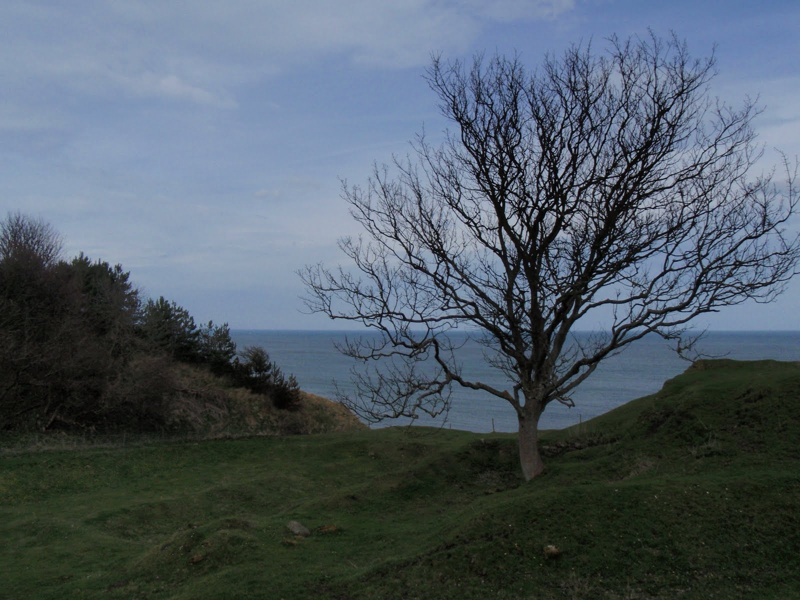
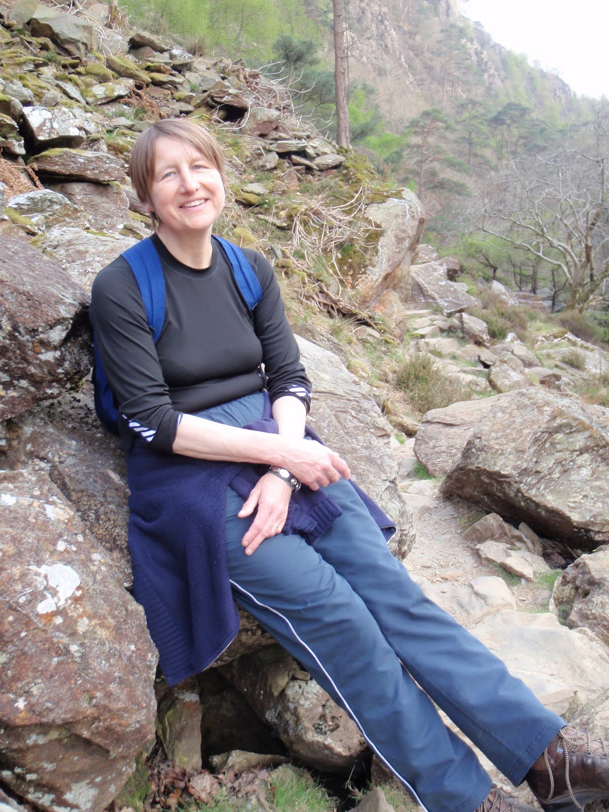
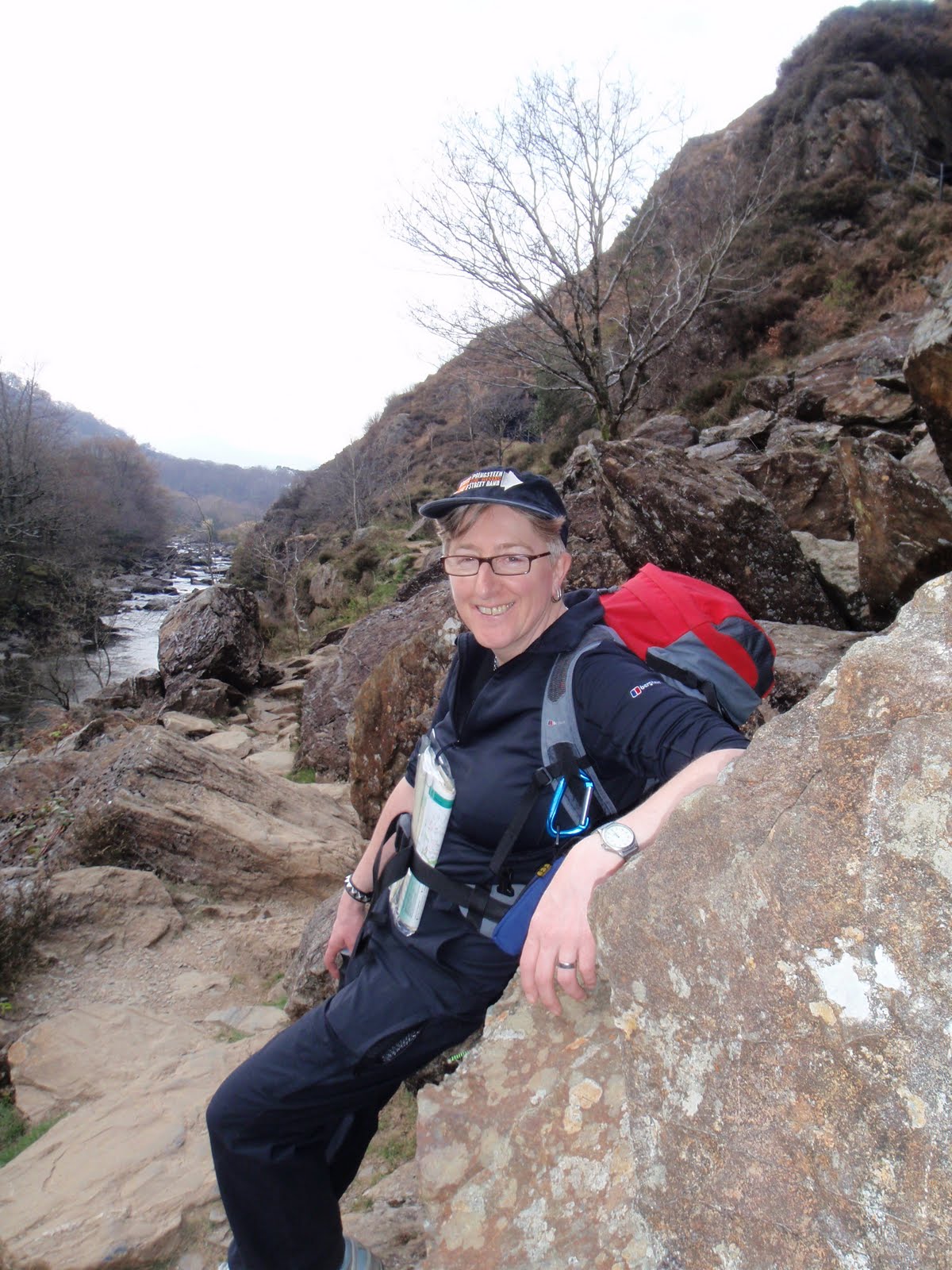
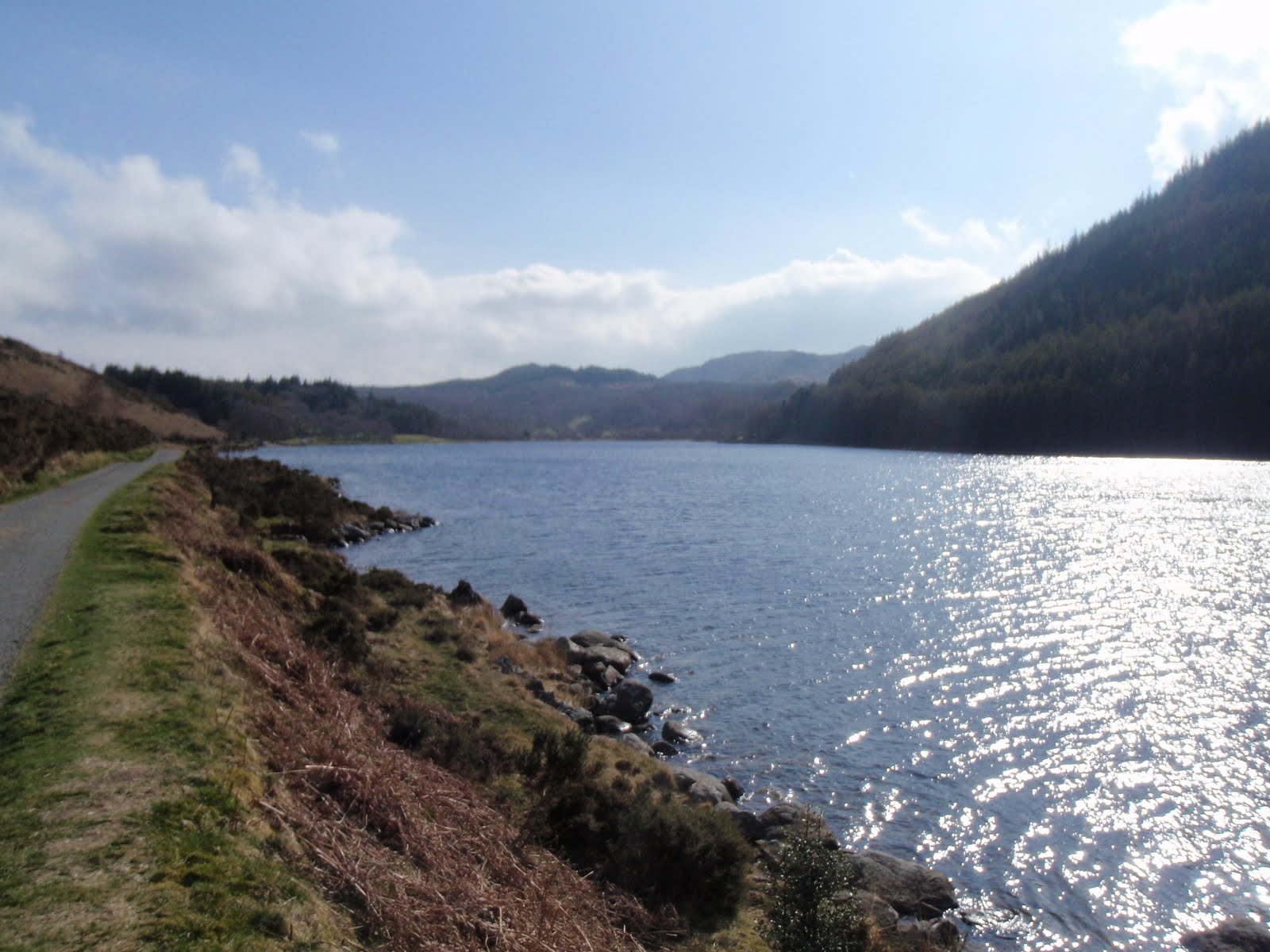
This was only a 4.5 mile walk but we managed to make it last all day. We followed an AA route which did not quite accord with the map. Started from Aberglaslyn car park, up to old copper mining detritus. Lunched at same place I had lunched at in February on WGL course but approached from other side. One bit of steep scrambling which was achievement for C. One fairly precipitous bit which was also handled well. Then I cocked up the navigation but we found the path by watching some others skipping along it. Both sore footed at the bottom in Beddgelert. Went past Alfred Bestall, writer of Rupert stories’ house. Back along Afon Glaslyn and single track railway line. Maureen had recommended this bit and going through the tunnel but this is all fenced off so we couldn’t do it – the tunnel that is. Very exciting so called starter walk! 7.2 km. Back for delicious home made burgers.


[googlemaps https://maps.google.com/maps?f=q&source=s_q&hl=en&geocode=&q=Aberglaslyn,+Beddgelert,+United+Kingdom&aq=2&oq=aberglaslyn&sll=53.047921,-3.687973&sspn=0.065012,0.209255&ie=UTF8&hq=&hnear=Pass+of+Aber-Glaslyn&t=m&ll=53.000013,-4.09996&spn=0.015496,0.025749&z=14&output=embed&w=300&h=300]
Monday 19th

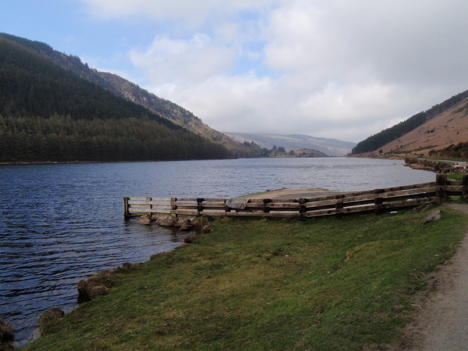
This was mostly a shopping day in Betws-y-Coed. Nice little town and I found several items to purchase. 2 pairs of shoes and a hi-viz windproof jacket. Drove up to Llyn Geirionydd and strolled along the water’s edge for 2.4 km. (1.5 m). This was the roast chicken day and it was also delicious!
[googlemaps https://maps.google.com/maps?f=q&source=s_q&hl=en&geocode=&q=Llyn+Geirionydd,+Trefriw,+United+Kingdom&aq=0&oq=Llyn+Geirionydd&sll=53,-4.1&sspn=0.016271,0.052314&ie=UTF8&hq=&hnear=Llyn+Geirionydd&t=m&ll=53.131067,-3.848991&spn=0.015449,0.025749&z=14&iwloc=A&output=embed&w=300&h=300]
Tuesday 20th


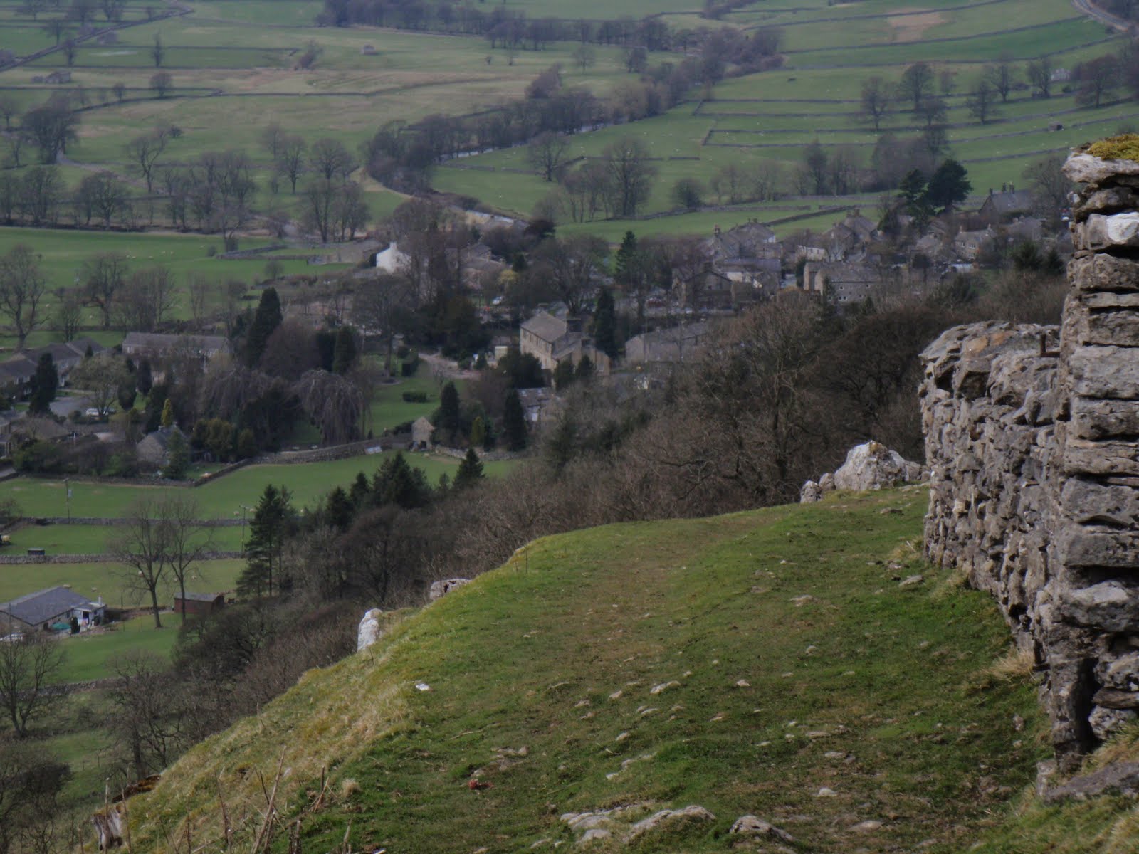
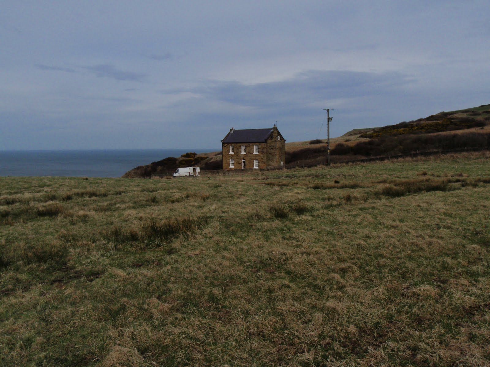
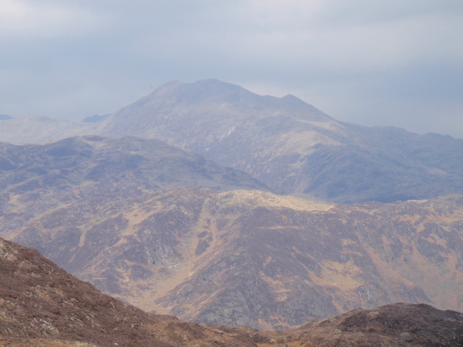
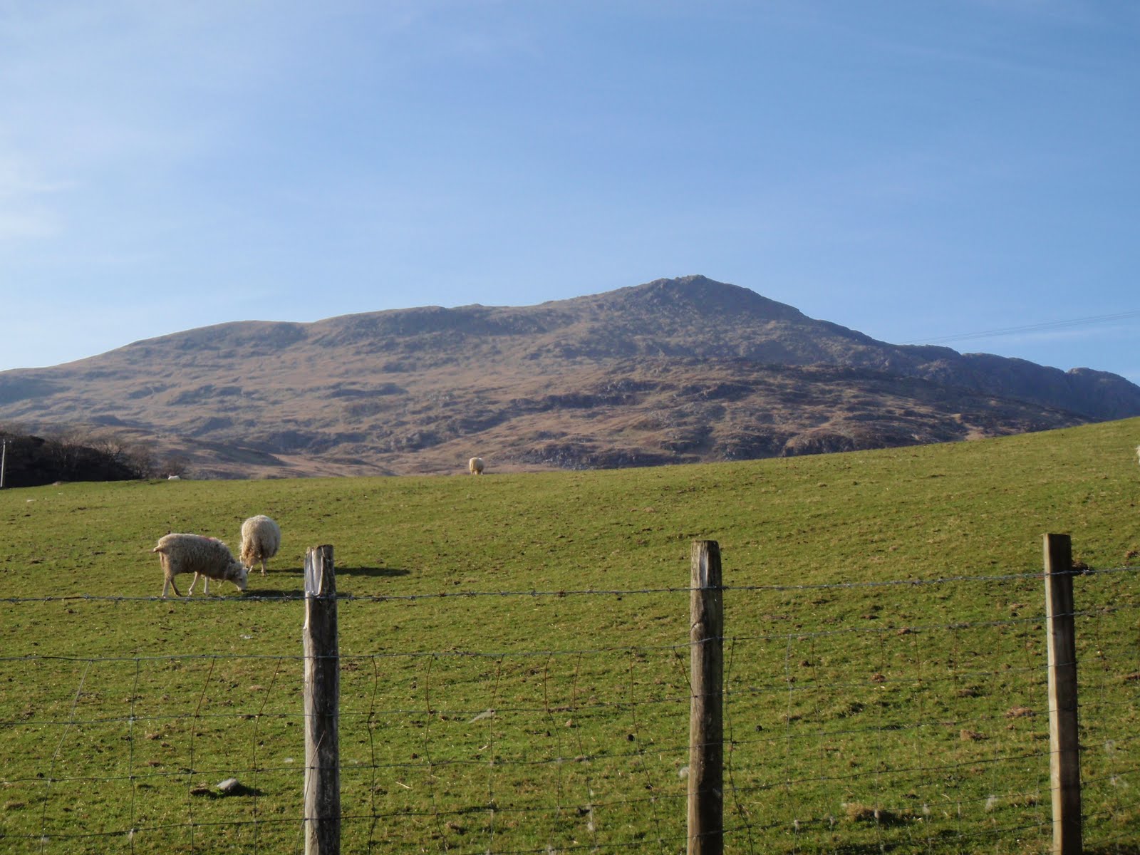
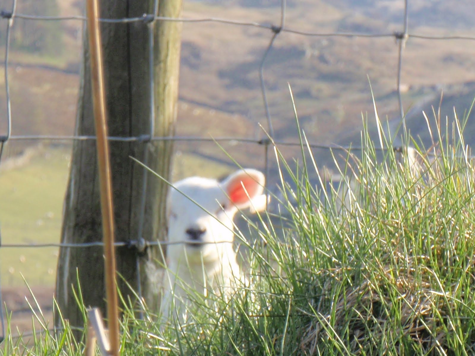
Nice drive over to Harlech across moors with grand views. Wandered around Harlech, nice and sleepy, had good cup of coffee. Short length walk above the town looking over the sea to little reservoir, but whilst sitting on a grassy knoll eating our sandwiches, we were approached by 2 pretty grumpy sheep. I made short shrift with them with my walking pole and shouting so they backed off. We continued on our way to the reservoir this time with all navigation going to text book plan. On our return trip, a great many sheep decided to gang up and started to rush at us. This was a very unnerving and pretty frightening thing to happen. I now really hate sheep and mint sauce is all they are good for. 4.8 km. (3 m). We went to the Bryn Tyrch Inn at Capel Curig. The food was nice (I ate beef) but the service was so slow, we just felt cross. I did tell them this when we left. Fine if you don’t mind waiting an hour to eat when you have booked a table.
[googlemaps https://maps.google.com/maps?f=q&source=s_q&hl=en&geocode=&q=harlech&aq=&sll=53.131061,-3.848979&sspn=0.016222,0.052314&ie=UTF8&hq=&hnear=Harlech,+Gwynedd,+United+Kingdom&t=m&ll=52.85887,-4.107857&spn=0.015547,0.025749&z=14&iwloc=A&output=embed&w=300&h=300]
Wednesday 21st


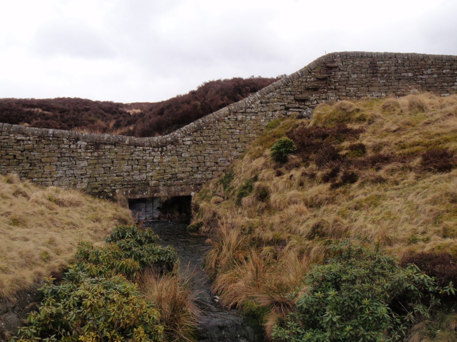
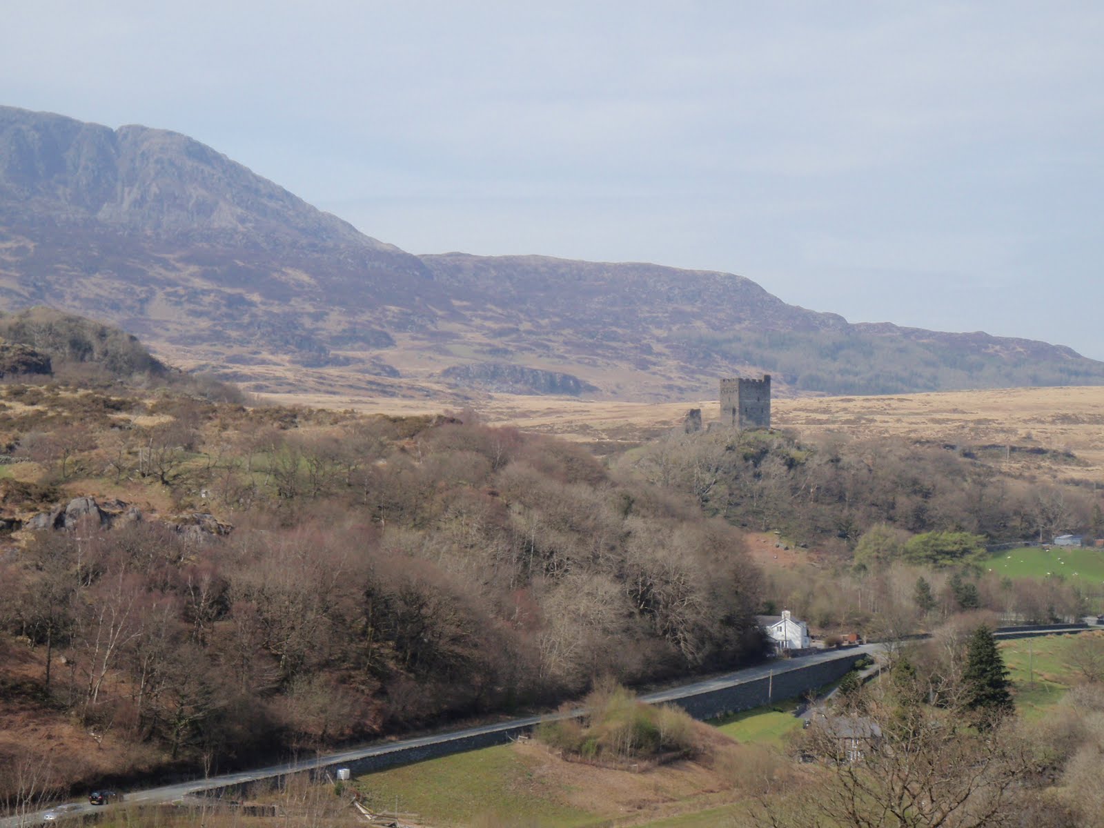
Nice lazy day, went over to Dolwyddelan and walked a bit before heading to castle, got to point where we looked down on it. 4.7 km. (2.9 m) Inspired to make warm salad with left over chicken and potatoes plus added hot bacon and a bit of onion and tomato. This went down well!
[googlemaps https://maps.google.com/maps?f=q&source=s_q&hl=en&geocode=&q=Dolwyddelan+Castle,+Dolwyddelan,+United+Kingdom&aq=0&oq=dolwy&sll=52.874051,-4.051981&sspn=0.032637,0.104628&ie=UTF8&hq=Dolwyddelan+Castle,+Dolwyddelan,+United+Kingdom&t=m&ll=53.052874,-3.908215&spn=0.007739,0.012875&z=15&iwloc=A&output=embed&w=300&h=300]
Thursday 22nd
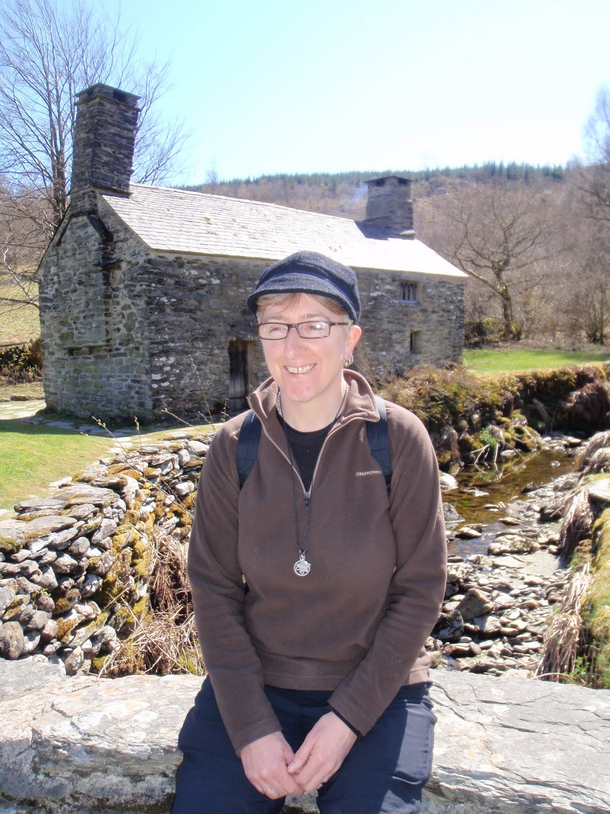

Sightseeing, went to Tŷ Mawr Wybrnant National Trust property. We were duly entertained by Will and had the place to ourselves. Beautiful location. I just love that there 5 consonants in a row. Went for short and very muddy walk in the forest nearby. So muddy it just wasn’t fun. 2.1 km. (1.3 m) Dinner at the Ty Gwyn Hotel in Betws-y-Coed. Nice food but over generous on the portions, just so much we couldn’t eat it all despite our best efforts. Other diners were a pair of middle aged gay gents, a table of 4 quite posh people and a couple who were so pissed they tried to exit the room by walking into the very large wall mirror.
[googlemaps https://maps.google.com/maps?f=q&source=s_q&hl=en&geocode=&q=Ty+Mawr+Wybrnant,+Dolwyddelan,+United+Kingdom&aq=0&oq=T%C5%B7+Mawr+Wybrnant&sll=53.052887,-3.908215&sspn=0.016251,0.052314&ie=UTF8&hq=Ty+Mawr+Wybrnant,&hnear=Dolwyddelan,+Conwy,+United+Kingdom&t=m&ll=53.053493,-3.842468&spn=0.030954,0.051498&z=13&iwloc=A&output=embed&w=300&h=300]
Friday 23rd

This was our best walk day. After buggering about to find the right road to start from, we parked up near an archaeological dig just up from the village of Dolwyddelan. It was straight up for a good 200m which was pretty energising, very steep indeed. Then once the climb was over we were out in open country with no-one else in sight except for an eagle. Sandwiches en route and then down across moor and then farmland, the usual barking dogs, along the railway, through the wood, and back up to the car, a lovely lovely walk. 7 km. (4.4 m) Dinner at the Bistro, Betws-y-Coed, this was a real treat and great that we had booked it for our last evening. The posh people from the night before were also here and they too were much happier with their meal. Excellent food, and great service. Free nibbles to start with and free mead plus sweets to finish. It should be in the Good Food Guide. In fact, I’ve just recommended it.
[googlemaps https://maps.google.com/maps?f=q&source=s_q&hl=en&geocode=&q=Dolwyddelan,+United+Kingdom&aq=&sll=53.054577,-3.889503&sspn=0.032501,0.104628&ie=UTF8&hq=&hnear=Dolwyddelan,+Conwy,+United+Kingdom&t=m&ll=53.053958,-3.886585&spn=0.015477,0.025749&z=14&iwloc=A&output=embed&w=300&h=300]
Saturday 24th

Sad to leave as have had a lovely holiday in nice cottage, peaceful and quiet and restful.
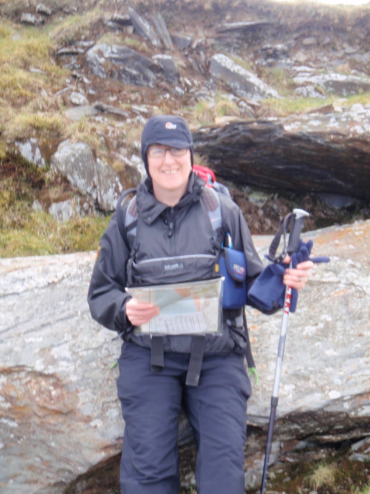
Please visit Map and Compass and learn how to interpret a map with me and my navigation partner, Cath.