Crinkle Crags 14th October 2012

After a reasonably early but chilly start (had to scrape the ice off the outside and the INSIDE of my car windows), Chris and I got to Langdale, parked up in practically the last spot in the National Trust car park, saving £6.50 and set off at about 11.20.
Across a big flat section full of sheep, black, white and punk; cows, horses… to the charmingly named Stool End Farm, turning left to go along the side of the beck and then across to start the climb up to Great Knott.

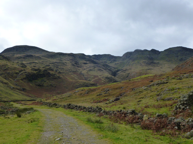
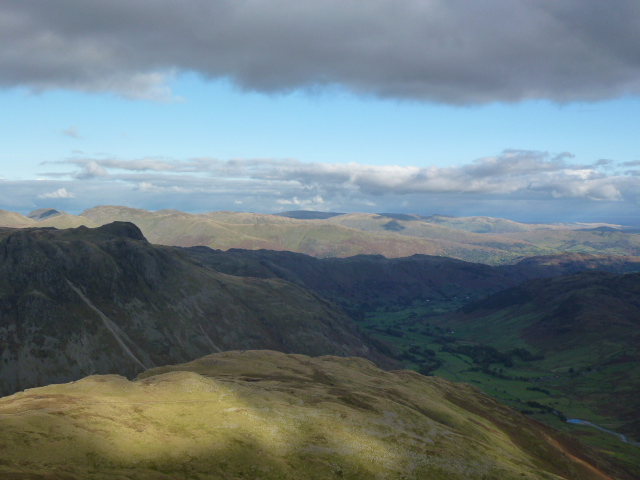
We stopped below the Knott on the col for a quick pre lunch snack, Chris on pork pie and me on energy bar and organic fruit and nuts that were mainly nuts until I supplemented them. Then up past the Knott and our first close up of the Crinkles, at this point they seemed quite fun and exciting.
We scrambled up the first Crinkle, and even then we wondered how many there were, Chris reckoned 4 and I was thinking 5 or 6, having consulted Wainwright during our coffee break on the drive over. However my consultations were more about how to get round or over the Bad Step and I now know there are 5 crinkles. Very hard to pull out of the map as the distances are so small, even with a magnifier.
We lunched just before starting crinkle number 2 and picked the coldest, windiest spot on the walk. We watched a large group trying to get down the Bad Step and worked out that we would just skip up the side as totally unnecessary to do the Step. That said, it would be a good place to practice rope work.

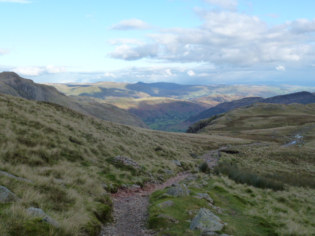
By then, we’d got tired of Crinkles as there’s an awful lot of up and down and very little distance covered. A mere 3 more to do but we battled on and got to Three Tarns where we decided to return down The Band and not down Hell Gill which had been the original plan. We were both tired and needed a relatively easy and straightforward route. The path seems to have been improved since I last did it as I remembered quite a lot of hands on sections but these weren’t there any more.
Finally got back to Stool End and Chris took off on the tarmac, back to the pub for the facilities and a beer for Chris.
We whizzed home and I even got back in time for Downton Abbey! Oh dear, how very tragic!

Bark Island just before I left home
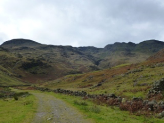
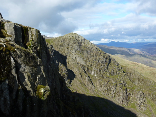
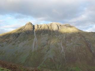
Crinkles to centre right
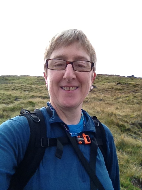
Playing with phone
Over to Pike o’ wotnot
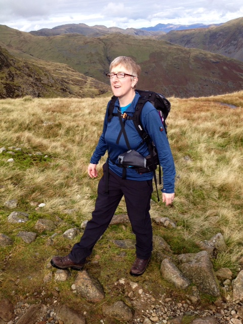
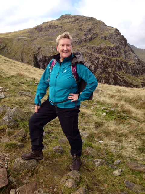
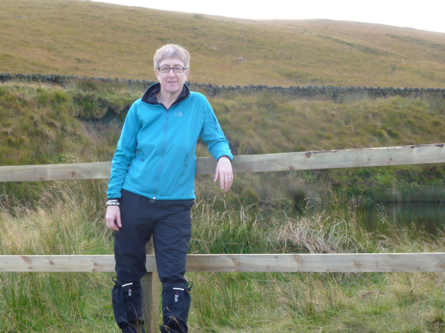
How not to do the bent leg thing
No, that’s still not right
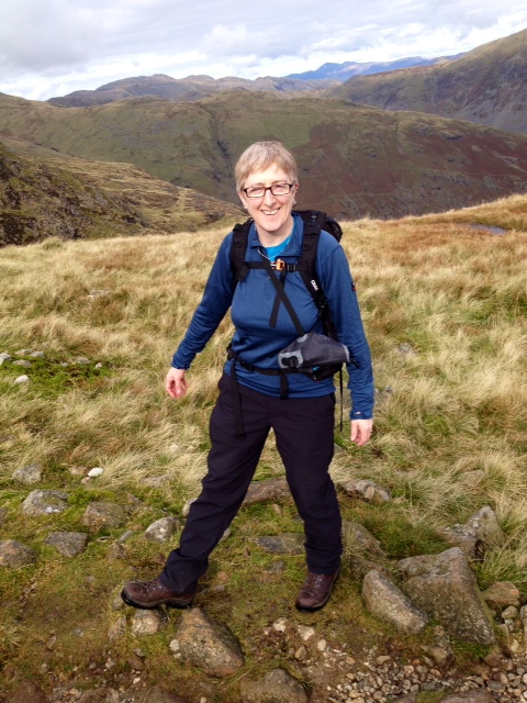
Like this!
Crinkles here we come
First Crinkle, I thinkle
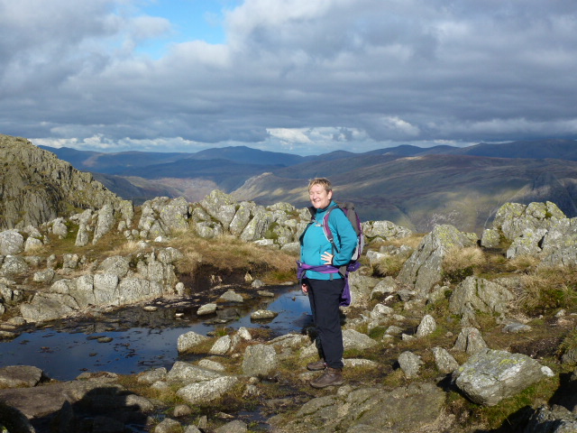
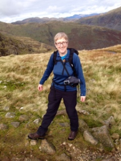
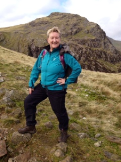
Still smiling, not yet crinkled out
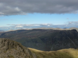
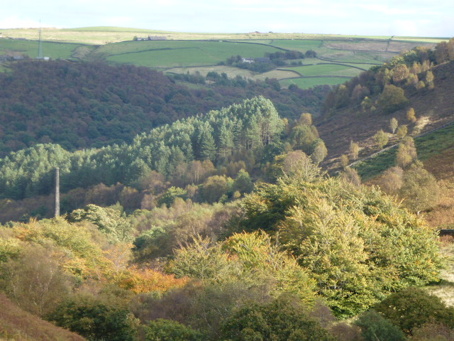
Big views
Homeward bound
Pike o’ wotsit and the Langdales
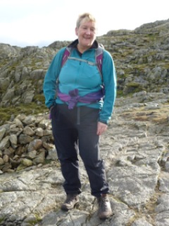
Feeling a bit crinkly here

[googlemaps https://maps.google.com/maps?f=q&source=s_q&hl=en&geocode=&q=Dungeon+Ghyll,+o%2Fs+Old+Dungeon+Ghyll+Hotel,+Lakes,+South+Lakeland+District,+United+Kingdom&aq=0&oq=dungeon+ghyll&sll=53.702818,-2.029493&sspn=0.01819,0.060339&t=p&g=Withens+Clough+Reservoir,+Hebden+Royd,+Calderdale+District,+United+Kingdom&ie=UTF8&hq=Dungeon+Ghyll,+o%2Fs&hnear=The+Old+Dungeon+Ghyll,+Great+Langdale,+Ambleside,+Cumbria+LA22+9JY,+United+Kingdom&ll=54.44549,-3.102608&spn=0.05989,0.102997&z=12&output=embed&w=300&h=300]

Please visit Map and Compass and learn how to interpret a map with me and my navigation partner, Cath.

Withens Clough 6th October

I parked near the Hinchliffe Arms in Cragg Vale. Set off up the track towards Turley Hole B&B and instead of heading down the very boggy bit to the stream, which I had done the last time here with Babs and co. I stayed on the track going past an old farm sign saying “If you haven’t been invited, stay away”. As the sign was very old and I was on a public right of way, I ignored this charming command.
The path rises up and goes alongside an old wood, then past a couple of houses, great remote spot. There were some large pedigree dogs here (no, I don’t know what they were, sort of pinky grey colour, smooth coats) but they were well behaved and closely supervised, however I should have got my walking poles out in advance. (Remembering my encounter with a horrible Swiss dog, where I defended myself by crossing the poles in front of me for protection, shouting at it helped too.)
Then I was up on the moor, and took a right heading towards Tenter Wood. This section was quite boggy but OK with gaiters on.
At the end of Tenter Wood, I headed left along a terrace towards Withens Clough reservoir. This is a lovely part and although not dramatic like the Climbers’ Traverse on Bowfell or the Heather Terrace on Tryfan, still has a soothing feel to it, and today it was inspiring looking across to the turning leaves and swathes of colour.
The terrace ends up at the reservoir, where they have finally finished all the construction work, many months overdue. I circuited the reservoir noting that Yorkshire Water seem to have gone mad for fencing. Fences against walls, fences where no-one in their right mind would want to go. But they have improved some of the track and some gates.
At the dam end, they have taken down a hideous building and replaced it with guess what? Well you decide. I can’t make out what it’s for but it has a letter box, although it doesn’t look like a house. They’ve put up a great wind turbine, which was whizzing round madly despite there not really being much wind. Is it me, but wouldn’t a water turbine have made more sense?
Nice walk to keep my feet in!

Add caption
Got the self timer working
The old building, photo by Mark Anderson
Wind turbine and new building
Surely not a house?
Just buy a longer chain

[googlemaps https://maps.google.com/maps?f=q&source=s_q&hl=en&geocode=&q=Withens+Clough+Reservoir,+Hebden+Royd,+Calderdale+District,+United+Kingdom&aq=0&oq=withens+clough&sll=52.826174,-3.301967&sspn=0.148532,0.482712&t=p&ie=UTF8&hq=&hnear=Withens+Clough+Reservoir&ll=53.702804,-2.029467&spn=0.015243,0.025749&z=14&iwloc=A&output=embed&w=300&h=300]

Please visit Map and Compass and learn how to interpret a map with me and my navigation partner, Cath.

Widdop bike ride 9th September 2012

Chris and I met up in the top Hardcastle Crags car park on the Widdop road, both getting our free National Trust parking.
We set off along the road and then did the wiggly and very steep bit up to and past the pub. I pushed my bike up that section but Chris stayed on for quite a while.
Then we tootled along to the further Widdop car park where we struck off to cross the footbridge and then carried the bikes up the steps.
We were able to ride for quite a while until the path got very steep. Went through a ferocious 20 second shower which made me cold in that time. But it really did only last that long.
A bit more pushing and then we sailed along for a quite a bit, the path started to go down and we both decided that we would only have to get back up so we headed back up the path and then tried to strike across country, however this soon got to boggy. And although Chris and I rarely walk or cycle without bog, we actually made a hasty retreat. Instead we headed across to Widdop reservoir alongside the big rocky outcrop. This was only a short bike pushing section and so would be possible to do another time. This takes you to the reservoir from where you are then on a great track which is in good enough condition for a relaxing ride so we whizzed along, passing the old scout hut and were soon back at the road.
A great ride!

Scout hut
That a way
Soaking up the rays as per usual!
Not sure yellow my colour! But good on the road.

[googlemaps https://maps.google.com/maps?f=q&source=s_q&hl=en&geocode=&q=Widdop+Reservoir,+Calderdale+District,+United+Kingdom&aq=1&oq=Widdop+re&sll=53.632733,-1.945001&sspn=0.01822,0.060339&t=p&ie=UTF8&hq=&hnear=Widdop+Reservoir&ll=53.792387,-2.105684&spn=0.01521,0.025749&z=14&iwloc=A&output=embed&w=300&h=300]

Please visit Map and Compass and learn how to interpret a map with me and my navigation partner, Cath.

css.php