Whitby to Robin Hood’s Bay 070410

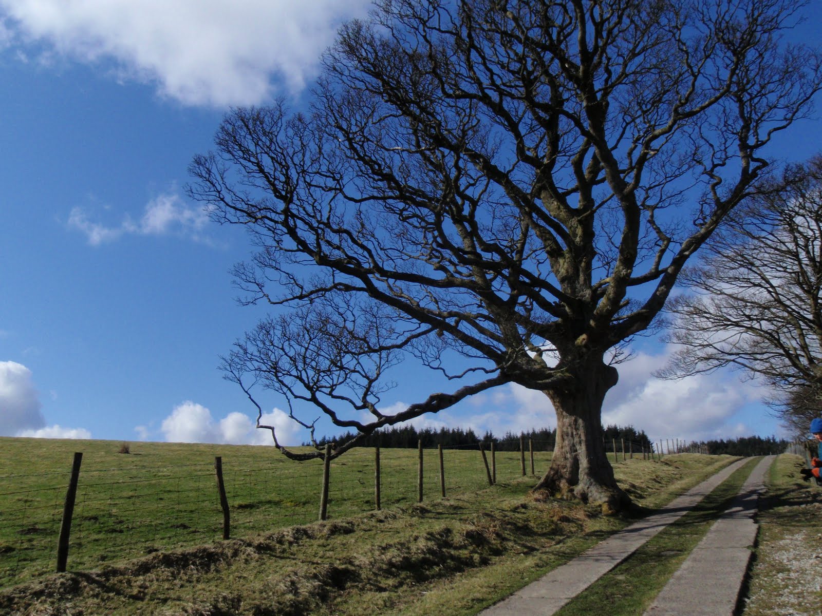
This is old beacon pole

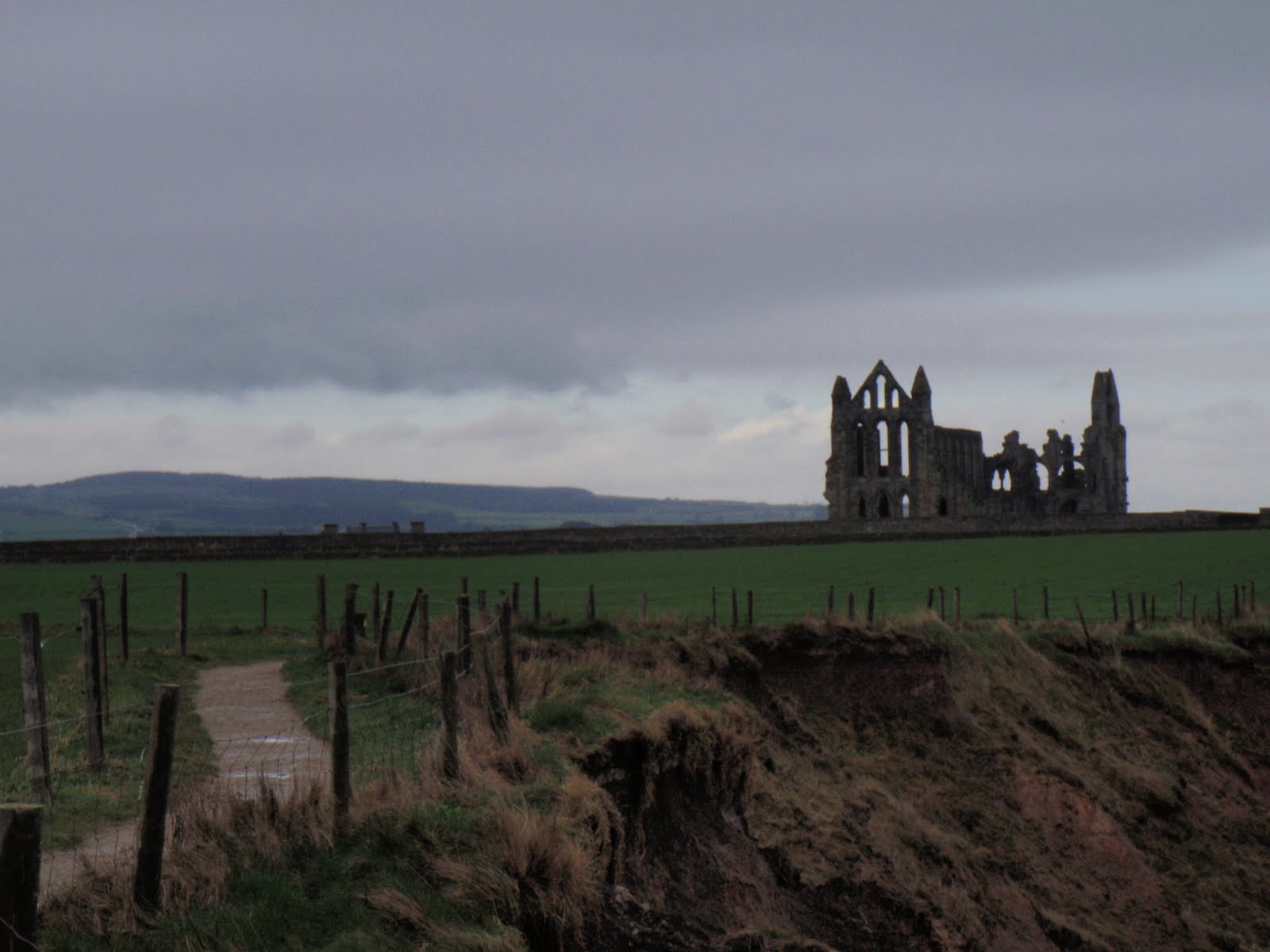
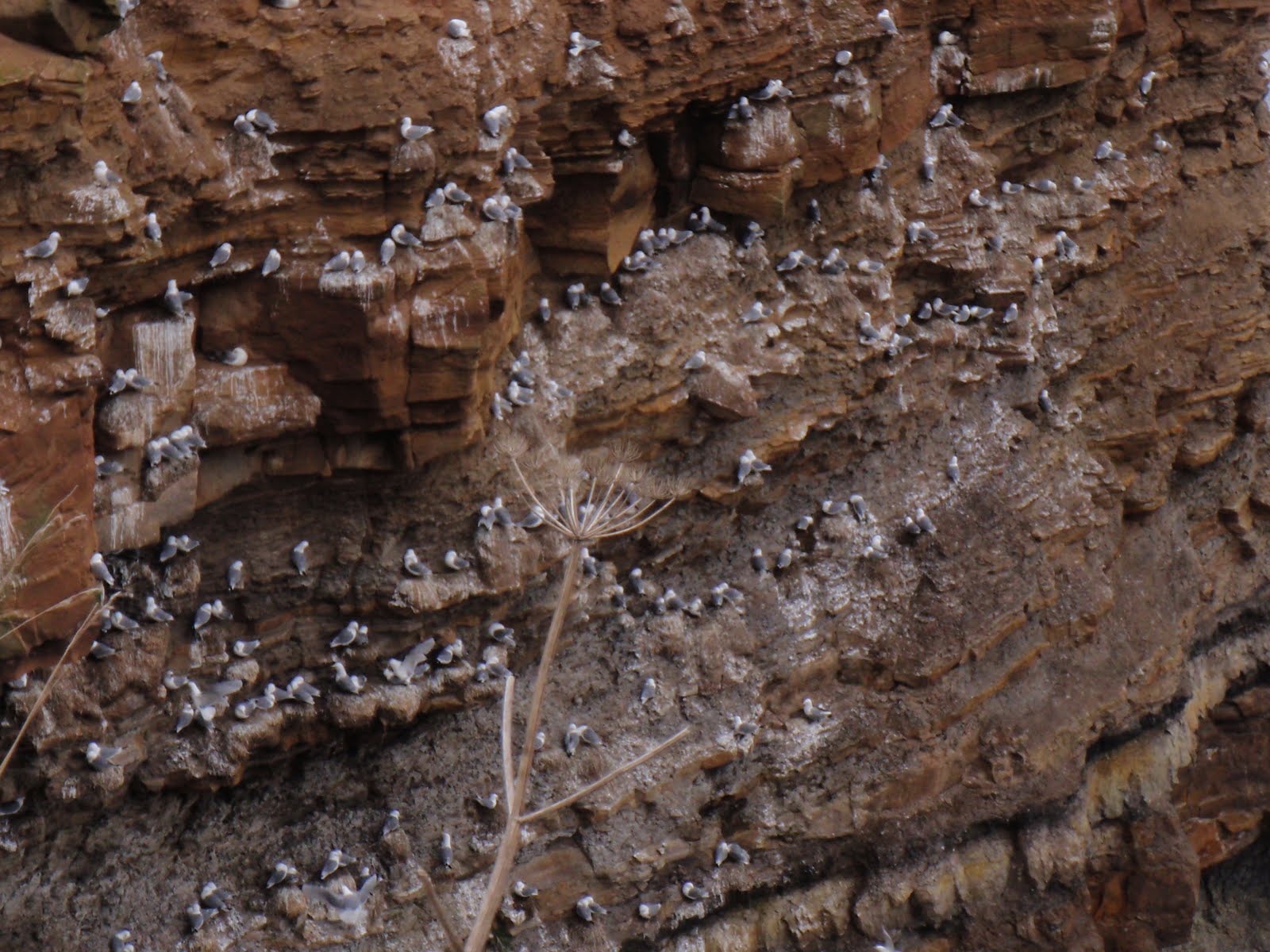
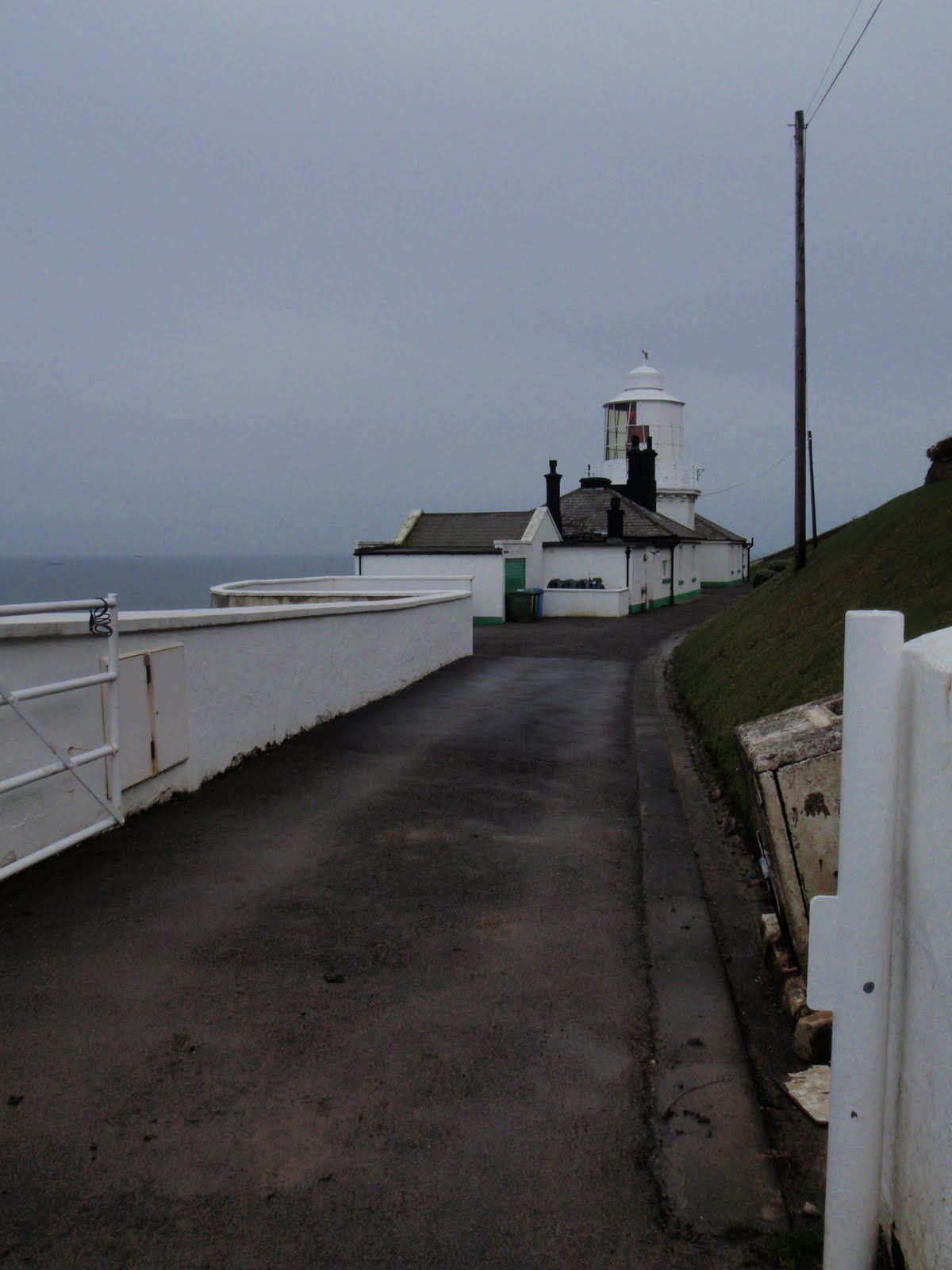
Woke fairly early, our night time companion showed us her enormous blisters, don’t know how she had kept going on them, poor Mrs Blister. Had a shower and took off the bedding. We were supposed to return the sheets to reception but I only read that when I got home. The information leaflet also contained the following: “If you are buying pretty things from the local shops please don’t go in en masse as it may frighten the shopkeeper.”!!!! I didn’t even see a shop so sadly didn’t get to try this out. We had breakfast, trad English for C and muesli, yoghurt for me, followed by beans on toast. Then we left and went up the lane in the rain to the car. It was still quite early so we drove round to Robin Hood’s Bay and parked up in the lower car park on an all day ticket. Went to the post office and sent a card home, wrote it outdoors in the rain. Waited in the bus shelter for the bus to Whitby, Mrs Blister came and told us she was going home to Scarborough on the bus. The bus arrived but was incredibly full and we had to stand all the way which was very uncomfortable with our rucksacks. Got to Whitby and wandered about, had some nice coffee in Marie Antoinette’s then went back in the town to buy beef and horseradish sandwiches from a butchers. Whitby suffers from a great lack of sandwich shops, you are expected to eat fish and chips or else! Then we set off going into the church at the top of the steps, it smelt a bit funny in there but interesting balcony and all the old box pews. Past the abbey and onto the Cleveland Way again. As we walked it brightened up and at the end of the day was very nice and sunny. Awful lot of mud. Passed a lighthouse you can stay in, a disused railway line and a rocket post (for sending a line out to a ship in distress so that a big line can follow it, be secured to the ship and bring the people back in). We saw lots of nesting kittiwakes. Had lunch on a rock, the gulls only just keeping their distance. So much mud our boots were flat and not grippy. Kept trying to get it off but it was very sticky. In fact, after I had cleaned them off, there was a pile of mud in the road at home! Back at Robin Hood’s Bay, we wandered down the road to the sea, stopping to buy magnetic bracelet which claims it is good for E, N, T infections. No change really so far but I live in hope of becoming less deaf. Lovely little village. Then back up the hill to the car and off. 7.6m. Stopped at a pub on the way home for fish pie for C and steak pie for me. Lovely.

[googlemaps https://maps.google.com/maps?f=q&source=s_q&hl=en&geocode=&q=whitby&aq=&sll=54.422776,-0.531306&sspn=0.12584,0.41851&ie=UTF8&hq=&hnear=Whitby,+North+Yorkshire,+United+Kingdom&t=m&ll=54.486295,-0.613346&spn=0.029915,0.051498&z=13&iwloc=A&output=embed&w=300&h=300]

Please visit Map and Compass and learn how to interpret a map with me and my navigation partner, Cath.
Boggle Hole to Ravenscar 060410

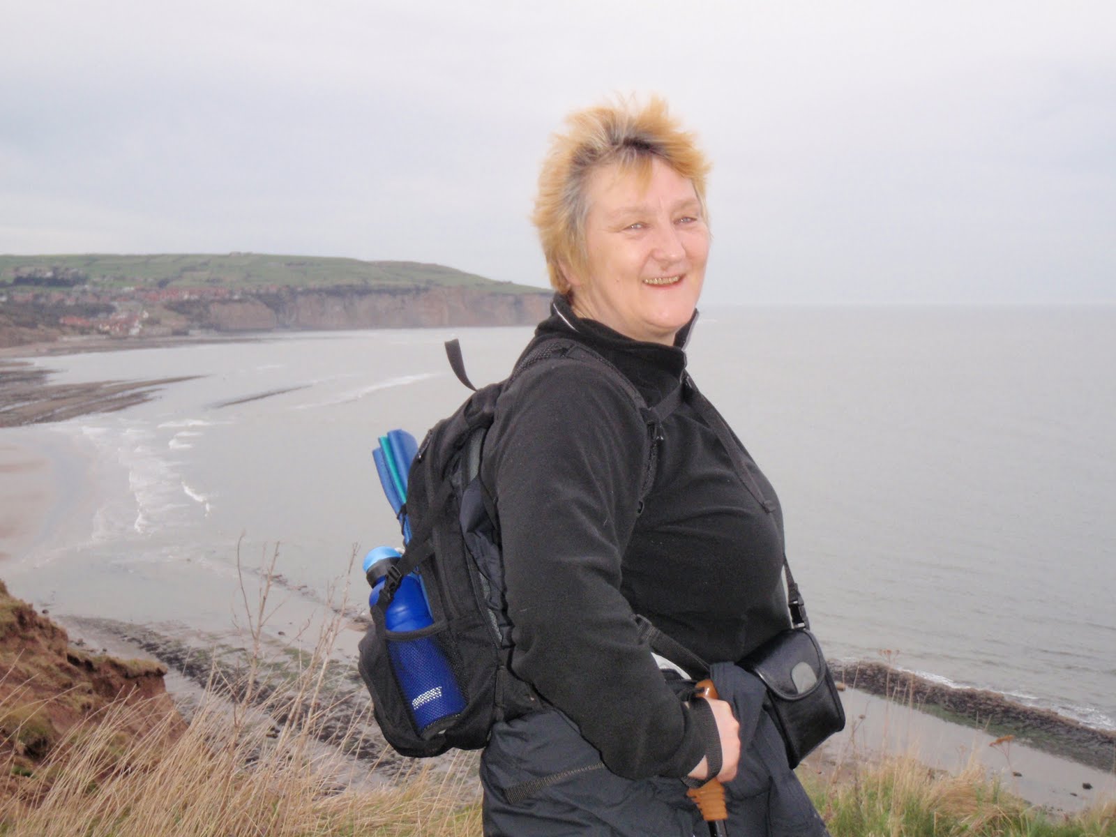
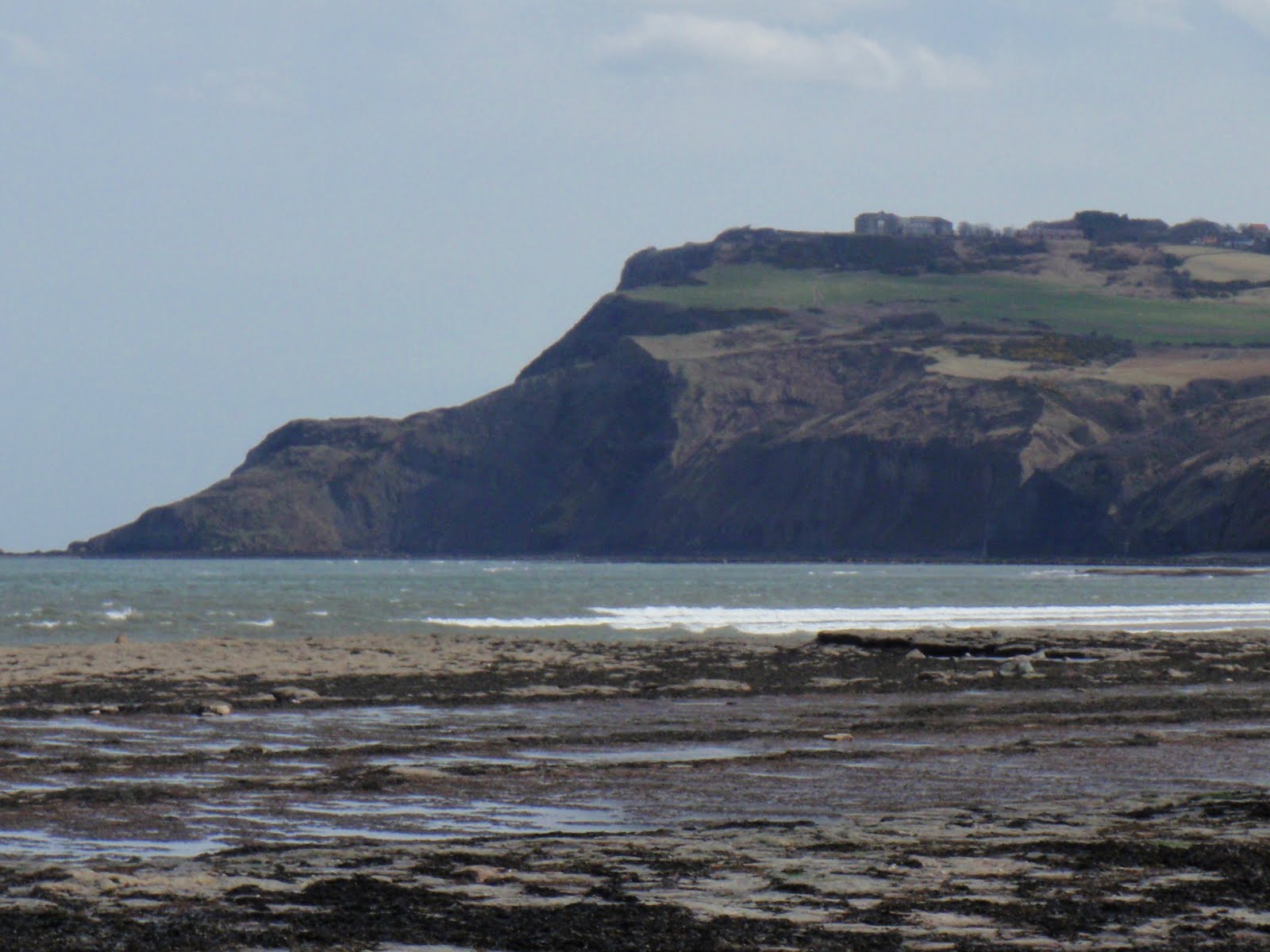
Very alarming amounts of erosion

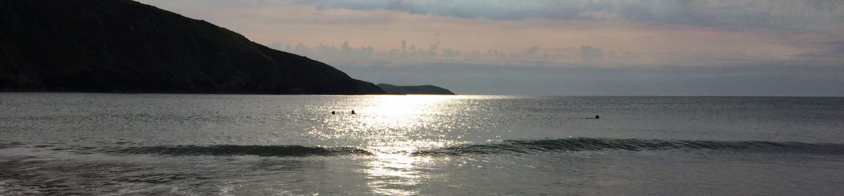
Chris arrived prompt on time but we didn’t quite set off at the crack of dawn, after coffee and chocolate, it was more like mid morning. Nice day but seemed to take forever to get there. We stopped on the way and had more coffee in a pub. By the time we got to the car park for Boggle Hole youth hostel, we were both starving. We checked in and made up our bunk beds. If only I had noticed the pipe running along the bed then! Lovely spot for the YH, just at the end of Boggle Hole cove. Got to beach and quickly had our sandwiches. Then off along the beach south to meet the Cleveland Way at the next cove. Walked to Ravenscar and found that the National Trust shop and visitor centre we had been expecting was shut. Instead walked on to the cafe on the square and had refreshments. We left a lot of mud on the floor. I bought a book for 50p (Daughters of Britannia, which I remembered hearing ages ago on Radio 4). Then we went back much faster with the wind behind us to the YH, mindful of dinner at 7.00. 10km (6.2m). Got back in plenty of time to freshen up and get a beer. Dinner was butternut squash soup which we both had, very nice and burger for C which was less good and veg curry for me which was lovely. So full couldn’t eat the ice cream and so cancelled our order. Then we had another beer and went out to the sea. Just as we crossed the footbridge, a creature ran by C, she bent to pat it thinking it was a dog, and saw it was actually a badger! I heard a scuttling and thought it was C pootling about, turned just in time to see it as it ran up the hill. Pretty fast mover. After all this we were quite tired and went to bed early as neither of us fancied chatting to the other hostellers much. We only had one other woman in our dorm and she seemed reasonably harmless, although she did have a G-Force towel G-Force. We were both quite hot and then I discovered that my bed pipe was very hot but was so tired couldn’t be bothered to move. We both had a fairly sleepless night, and so did the guinea pig woman.

[googlemaps https://maps.google.com/maps?f=q&source=s_q&hl=en&geocode=&q=boggle+hole&aq=&sll=53.793463,-2.063957&sspn=0.007985,0.026157&g=Walshaw+Dean+Lower+Reservoir,+Wadsworth,+Calderdale+District,+United+Kingdom&ie=UTF8&hq=boggle+hole&hnear=&radius=15000&t=m&ll=54.422725,-0.531464&spn=0.059924,0.102997&z=12&output=embed&w=300&h=300]

Please visit Map and Compass and learn how to interpret a map with me and my navigation partner, Cath.
Walshaw 2

It should really be Walshaw Reservoir 2. Same route, different way round, different personnel. Just me and Anita. Better this way round as had the long flat bit to warm up on with wind behind us at the start. Lunched by a BT wireless station in the woods. Met 2 incredibly stupid women who had got miles off where they wanted to be, they had no map and no bloody sense. I could feel myself getting really irritated with them at the point where they were inviting us to take responsibility for them. We directed them as best as possible and I can only hope they are home now. These are the people who should pay for Mountain Rescue services. After A and I had left them behind and spent a good bit of time analysing their crass stupidity, we continued to find the correct path to the reservoir and saw how to cross the big drain without playing horses with the huge wall. Got back to the car, a bit wind swept and with relatively fewer knee issues than yesterday. Great walk finished off with a beer at the Packhorse.

[googlemaps https://maps.google.com/maps?f=q&source=s_q&hl=en&geocode=&q=Walshaw+Dean+Lower+Reservoir,+Wadsworth,+Calderdale+District,+United+Kingdom&aq=0&oq=walshaw+dean+lo&sll=53.399298,-1.882095&sspn=0.064481,0.209255&ie=UTF8&hq=&hnear=Walshaw+Dean+Lower+Reservoir&t=m&ll=53.793452,-2.063971&spn=0.01521,0.025749&z=14&iwloc=A&output=embed&w=300&h=300]

Please visit Map and Compass and learn how to interpret a map with me and my navigation partner, Cath.
Walshaw 1

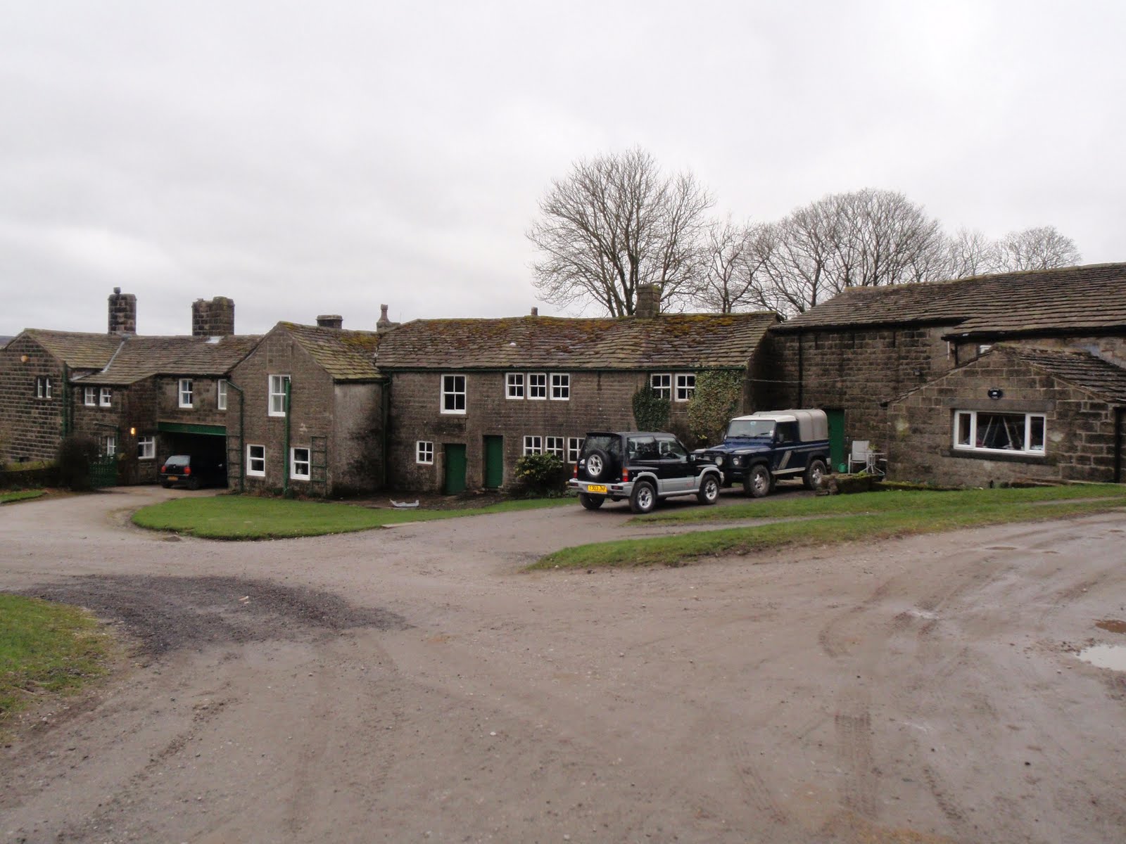
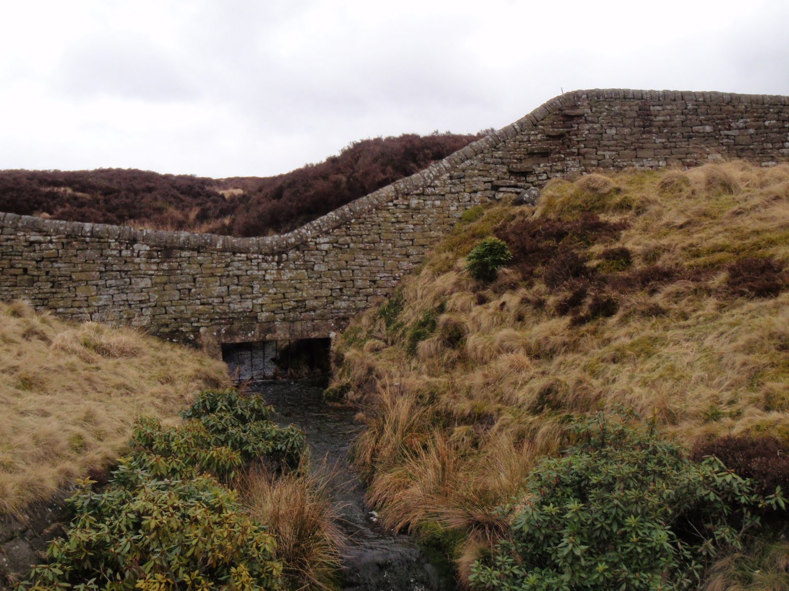
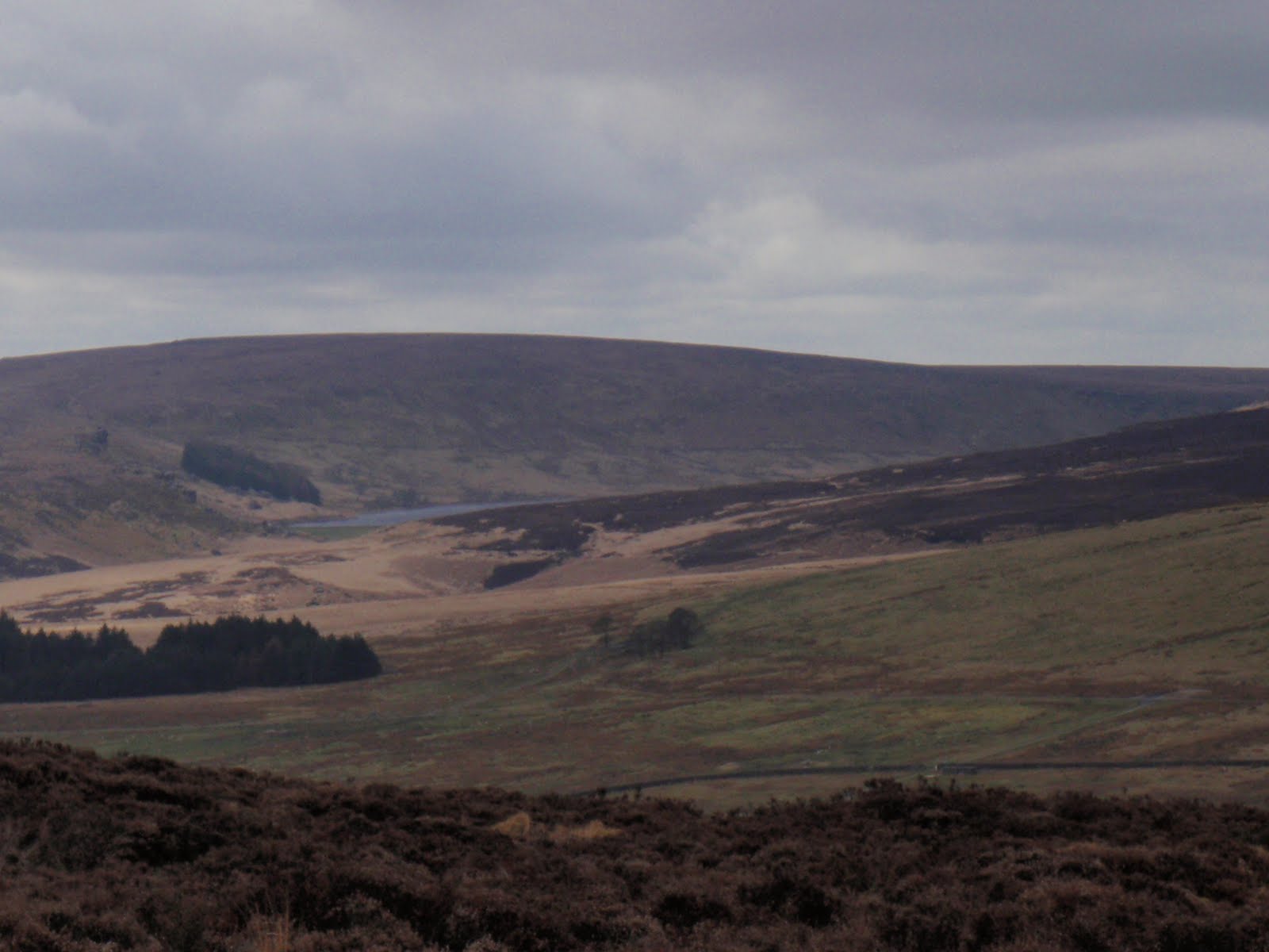
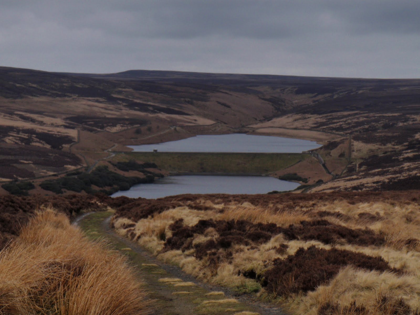
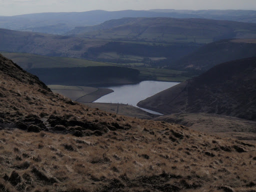
Set off with Babs and Carol from Pennine Way crossing road. Went up to reservoirs whereupon the others became starving, in fact they seemed to be hungry right from the start. We followed the reservoir along and then crossed the drainage channel via a footbridge. This brought us up to a high wall with foot steps sticking out of it just where there was a steep drop into a water inlet. After a bit of pfaffing around about it being a bit too high etc., all the party managed to get their butts over the wall by riding it like a horse. The far side of the wall was fairly sheltered so we stopped for lunch. It was still windy and cold. We then struck up across the bog and tussocks and found we had missed the actual path but we got onto it before long. We went up across the hill and then down the other side to Walshaw which is a pretty hamlet. B and C inspected some olde pig styes. We then cut back facing into the wind towards the car. Could see the upper Hardcastle Crags car park and the road opposite us as we walked. Back along to the car park, we didn’t get rained on and it brightened up through the day. Very nice walk indeed. 

[googlemaps https://maps.google.com/maps?f=q&source=s_q&hl=en&geocode=&q=Walshaw+Dean+Lower+Reservoir,+Wadsworth,+Calderdale+District,+United+Kingdom&aq=0&oq=walshaw+dean+lo&sll=53.399298,-1.882095&sspn=0.064481,0.209255&ie=UTF8&hq=&hnear=Walshaw+Dean+Lower+Reservoir&t=m&ll=53.793452,-2.063971&spn=0.01521,0.025749&z=14&iwloc=A&output=embed&w=300&h=300]

Please visit Map and Compass and learn how to interpret a map with me and my navigation partner, Cath.
Kinder Downfall

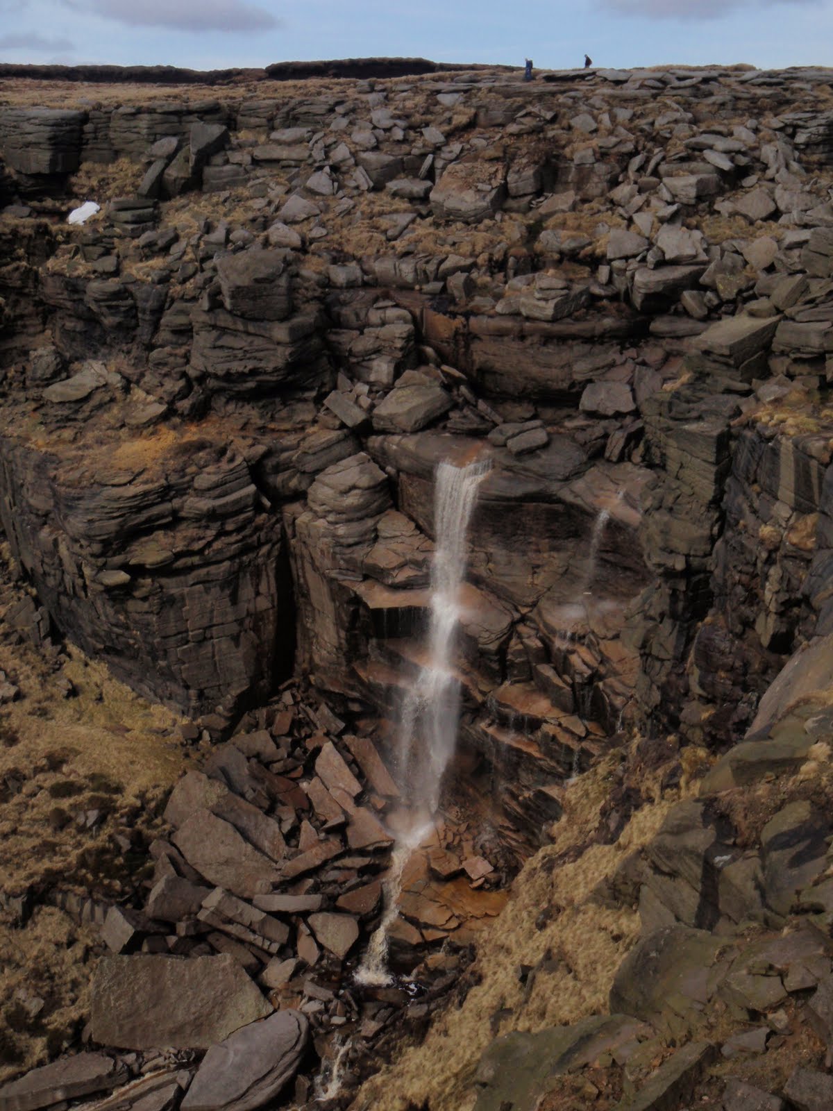
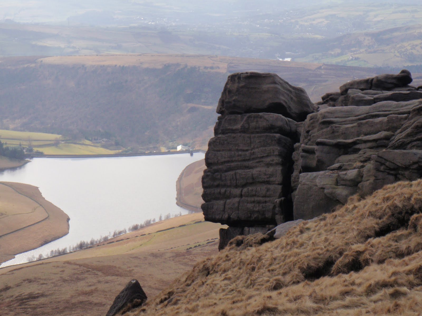
First real outing of the year. Only 9km but plenty to start with. Really glad I actually dragged myself out. Fine day all day. Drove to A57 and parked up. The Pennine Way is paved most of the way. Across to Mill Hill and then the main ascent of the day, short but steep, across old snow. Round to Kinder Downfall where I lunched in a cold wind. Got all my timings right, didn’t really use much nav skills as route was very obvious. Kinder Downfall (this makes me have garbled thoughts of German – Kinder, and then Downfall – Hitler film) was good because of the height but a bit disappointing in terms of flow.
On the way back, there was a large group of people at a junction and so I very confidently whizzed off to the right and then had to retrace my steps as it was the second right I needed. This is what comes of navigating once the map has been stowed away.

Got a bit bored tramping across the paving stones on the way back and although knees behaved themselves very well, when I got out of car at home, my heel was doing plantar fasciitis. 


[googlemaps https://maps.google.com/maps?f=q&source=s_q&hl=en&geocode=&q=Kinder+Scout,+Hayfield,+High+Peak+District,+United+Kingdom&aq=0&oq=kinder+&sll=53.102625,-3.61757&sspn=0.016232,0.052314&ie=UTF8&hq=&hnear=Kinder+Scout&t=m&ll=53.384557,-1.874199&spn=0.030716,0.051498&z=13&iwloc=A&output=embed&w=300&h=300]

Please visit Map and Compass and learn how to interpret a map with me and my navigation partner, Cath.
css.php