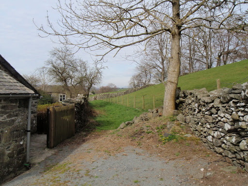
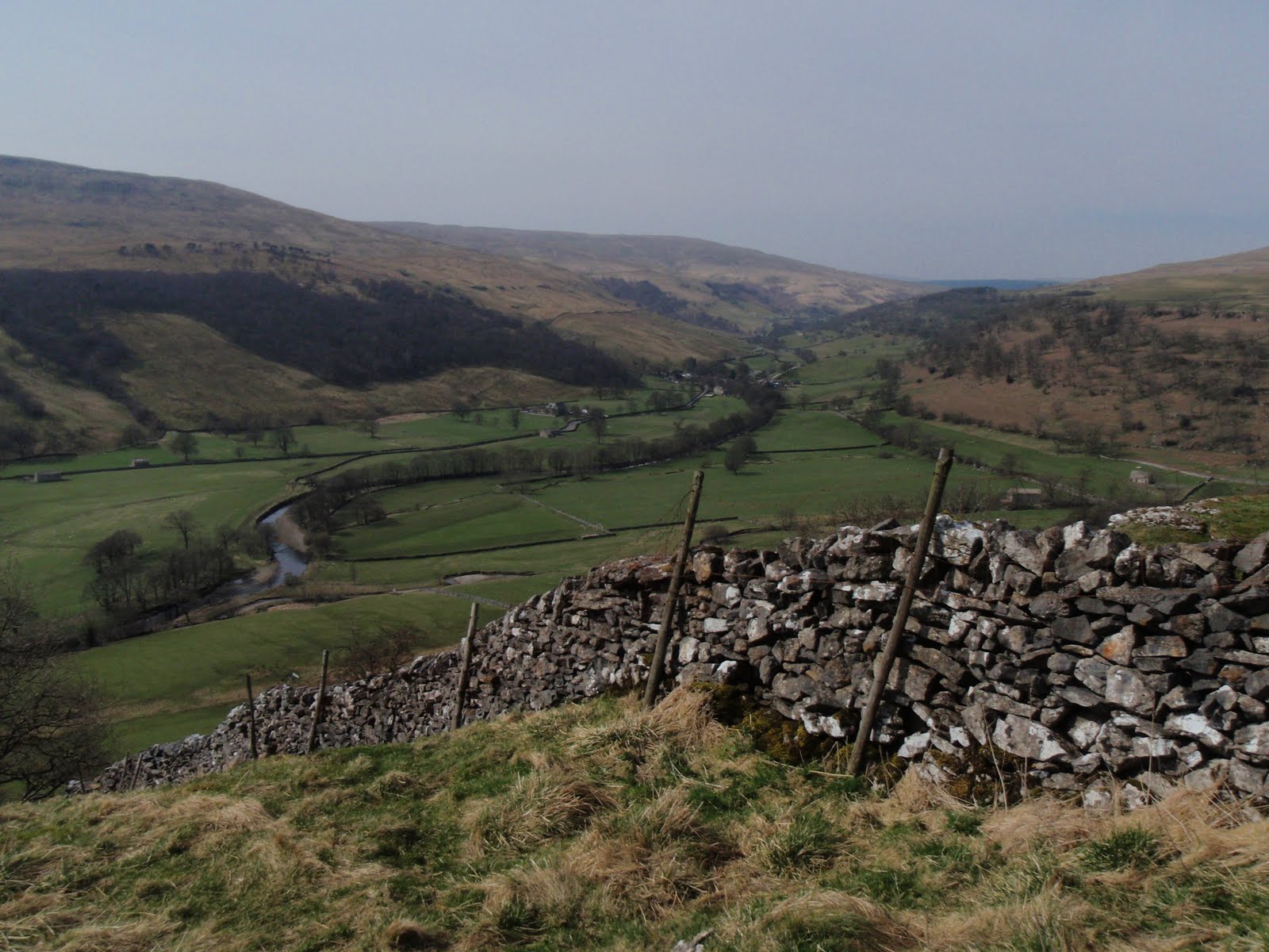
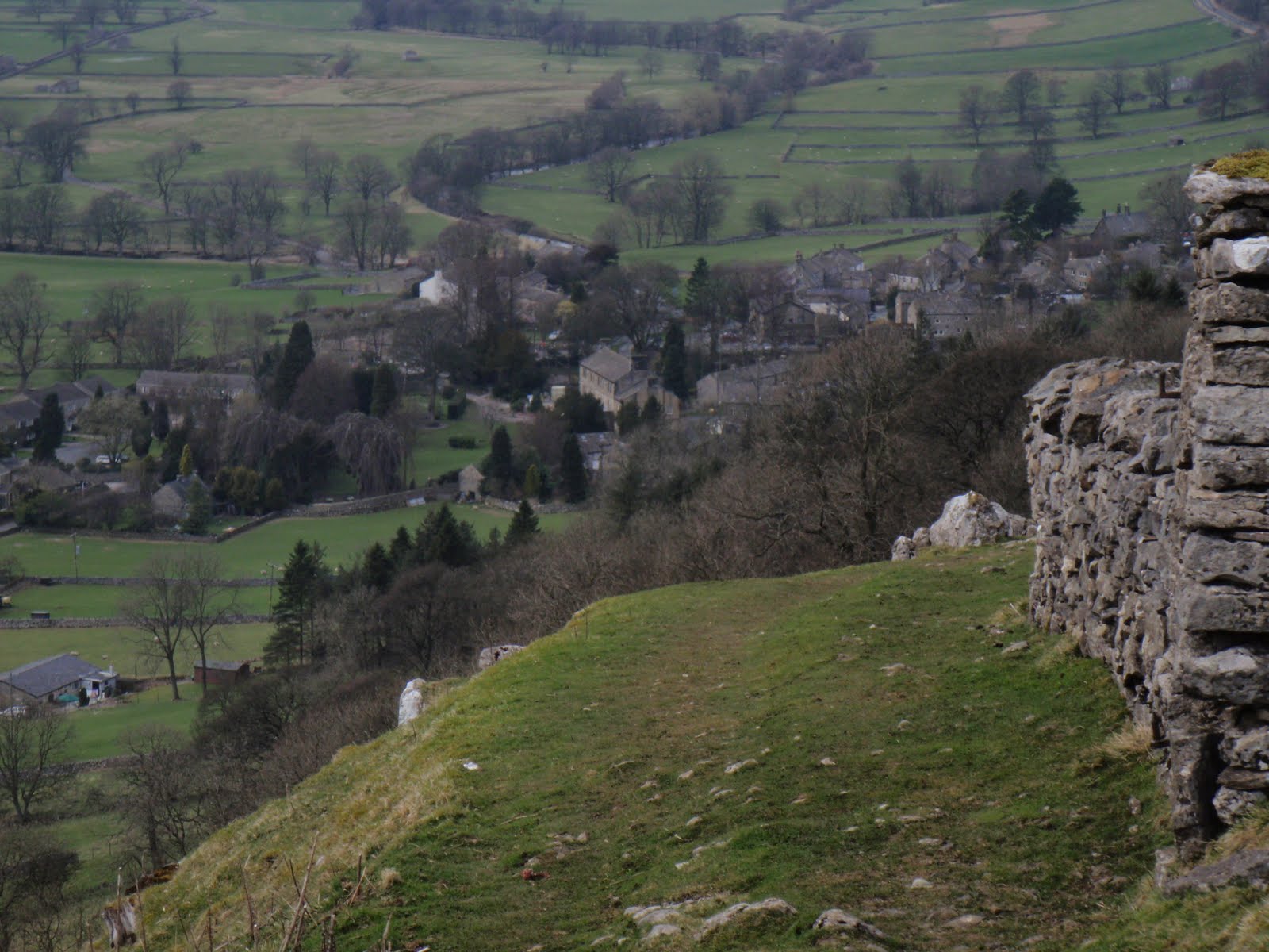
Great Whernside 090510

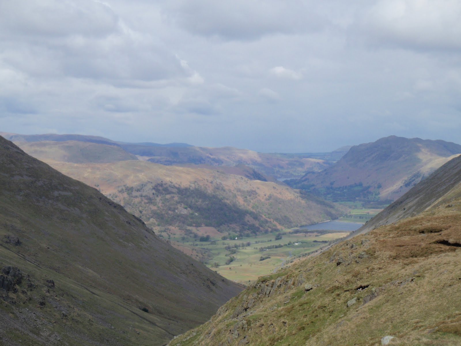
Another late start, but much faster journey to get to the Dales. This time to Kettlewell, only an hour and a half and parked up for £3.50 (I know the car park fee is incredibly boring but I put it in so I have the right money the next time).
I really needed the navigation skills in the village as managed to set off very confidently up the wrong lane and had to retrace my footsteps to get to the other side of the stream. Once I’d done that it was a very obvious path all the way. I passed a small campsite which appealed to me as it looked very clean and neat and it had a sign with lots of NOs.
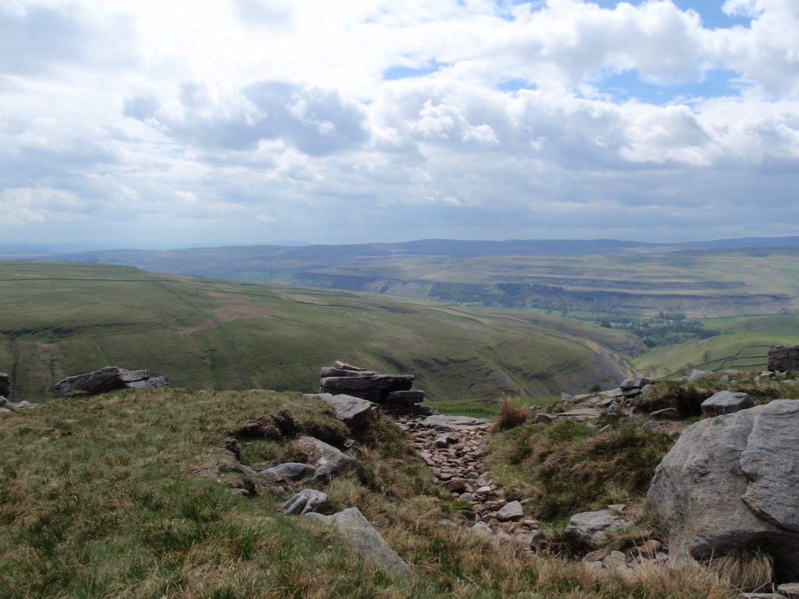
From there, a steady ascent across grassy fields along the top of the valley, quite steep drops to the side. Only a few well behaved sheep i.e. they ran away rather than at me, although I am now so wary of them.
The half way point was delightfully named Hag Dyke and was clearly showing as a building, this turned out to be a scout hut in a fantastic location, no neighbours anywhere in sight, overlooking the valley with only a track to reach it. It’s an old farm house and has solar panels and a wind turbine. Inside some scouting people were sitting enjoying a blazing fire. This took me by surprise as I thought they would be out scouting (for girls ha ha that is so bad)!
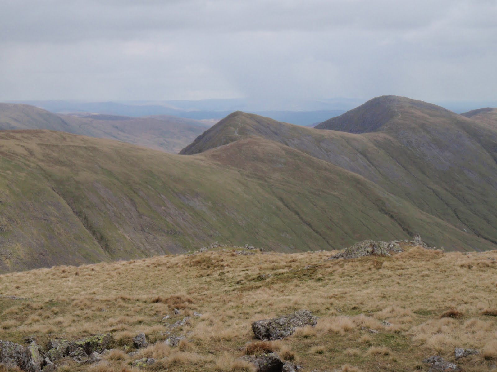
I climbed up a short steep section and stopped at the top to have my cheese and mustard sandwich. Then it was time for a good chunk of fairly flat ground with another steep section to reach the summit.
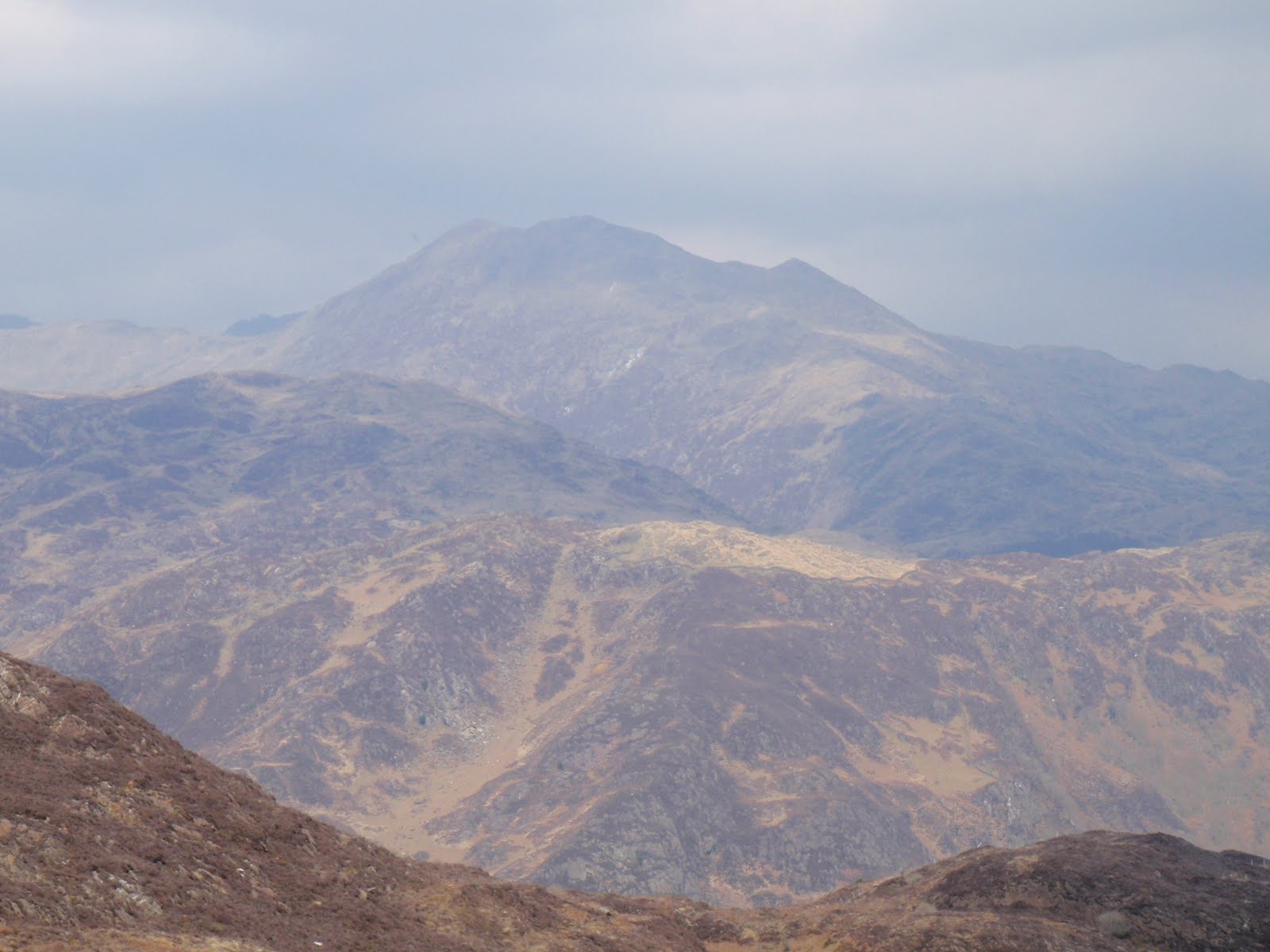
It got a bit cold and threatened to rain but held off for the whole walk. Great Whernside is 704m and Whernside is 736m which strikes me as a bit illogical but there you go.
At the top, 2 people were wild camping. They had quite a big tent so I felt a bit sorry for the bloke who was packing it up and looked like he would be carrying it.
Whizzed back down in half the time it took to get up. Had to go and look in the outdoor shop but managed to restrain myself from going mad.
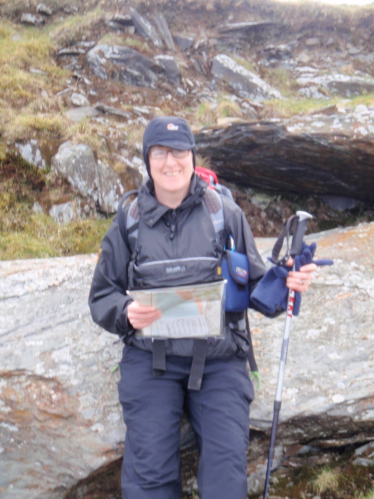
This was the first outing for my new very light rucksack which is called Villain. It really is light and has a lot of bits and pieces to twiddle with and certainly did the job just fine.
Great walk, managed to walk away some of the blues of the last few days.

[googlemaps https://maps.google.com/maps?f=q&source=s_q&hl=en&geocode=&q=Great+Whernside,+Kettlewell+with+Starbotton,+Craven+District,+United+Kingdom&aq=0&oq=great+whernside&sll=53.66049,-2.04408&sspn=0.016021,0.052314&ie=UTF8&hq=&hnear=Great+Whernside&t=m&ll=54.160977,-1.998482&spn=0.015076,0.025749&z=14&iwloc=A&output=embed&w=300&h=300]

Please visit Map and Compass and learn how to interpret a map with me and my navigation partner, Cath.
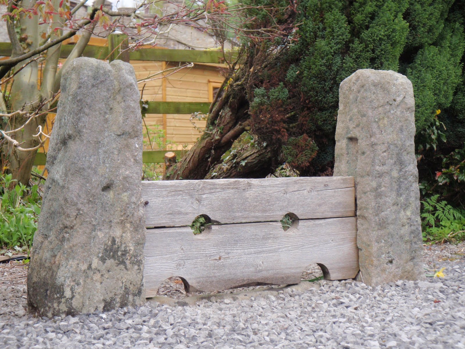
Night nav on Blackstone Edge 07/05/10

This one is specially for Peter M!
This was a welcome relief from the real nastiness that’s been exposed because of the E word. I was in good company and we didn’t even touch on it.
BB met me and CD at the biker pub in Littleborough. BB assured me that the bikers were mature and quite nice really. Sadly just these ones were not very handsome, well there was one who I wouldn’t have pushed out.
After a quick meal and change of clothes, CD and I drove up to Blackstone Edge and parked up in the layby at 8.30. It was very cold and windy so we headed off first south along a good path and then east along a less good one, all in daylight. We had to go fast just to keep warm, and this was with both of us wearing 4 layers. As we approached the road, we could see the moor was on fire but we worked out it wasn’t blazing just where we were going and also that the wind would be taking it away from us.
By the time we got to where we had to cross the road, the light was going and here we made our first mistake, by thinking we were further down than we were. This meant we were not the side of the gully that we thought so we did a quick change of plan to follow the gully. We stood under the pylons in the dark trying to take a bearing, Cath convinced the electricity was affecting her compass but actually it was her phone. Basically we stomped around in the clumps and dips for a while  and eventually reached the top of the gully.
We had decided to aim for a spot height, however both forgetting or not seeing that there was a water way to cross! Another change of plan, to handrail along the drain which we did, using timing and pacing. And then lo and behold, in the middle of all this nothingness, was a little footbridge and post to cross the drain. So we did, then more pacing to find the spot height. This was harder to locate as the local map is marked in 5m contour intervals and so a spot height would be hard to find in daylight let alone at night.
We next headed due West for another drain with a name like Cold and Windy Drain which we found although it was about 20-30m beyond our estimation. We followed this drain to the fence whereupon Cath said “what’s that white line?” “it’s the road!” At this point, she decided to roll around on the tussocks. First Aid was not needed. I dazzled some cars with my beacon headlight and soon got back to our cars. It was nearly 11.30 by then!
When I got home I was so cold I had to put the heating on, make a hot water bottle and drink whisky. I didn’t really warm up properly until lunchtime today!

[googlemaps https://maps.google.com/maps?f=q&source=s_q&hl=en&geocode=&q=Blackstone+Edge+Reservoir&aq=1&oq=blackstone&sll=54.482,-2.898778&sspn=0.031414,0.104628&ie=UTF8&hq=&hnear=Blackstone+Edge+Reservoir&t=m&ll=53.660509,-2.044058&spn=0.015258,0.025749&z=14&iwloc=A&output=embed&w=300&h=300]

Please visit Map and Compass and learn how to interpret a map with me and my navigation partner, Cath.
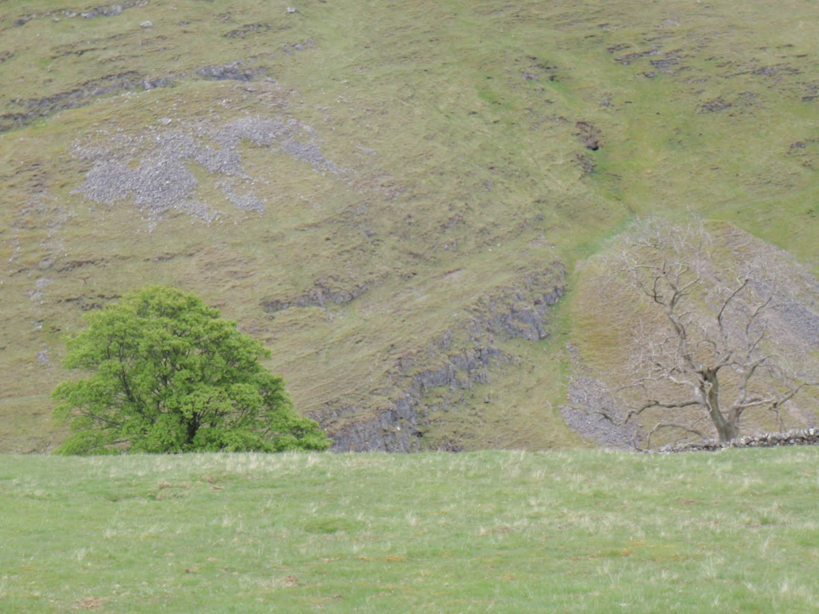
Caudale Moor 030510

It was so hard to motivate myself to get going and really start on the training. Last year I was totally driven and obsessive which meant I just got on and did the walks. This morning, I could happily have stayed in bed. Finally decided on Stony Cove Pike and didn’t even leave the house until 10.15. Stopped for diesel and got to the FREE (a welcome first for the Lake District) car park at Kirkstone Pass pub at 12.30. Just over 2 hours later I was at the top of Stony Cove Pike with great views across to High Street. It was sunny but cold and windy so was thankful for my winter kit. Then at the top it started to hail and this turned to sleet on my way down. Got back to the car about 3.50 and was home just after 6.30, having stopped at 50% sale in big outdoor shop, but failed to find anything at 50% to grab me so bought a day glo shirt at full price! I hadn’t been able to find Stony Cove Pike in any of the Wainwright books before I left but put this down to what ended up as a bit of a rush. The mystery is now solved, AW refers to this perfectly well named Pike as Caudale Moor. Honestly, he is so annoying. Had a very nice day and being less driven seemed to make this a much more enjoyable experience!

[googlemaps https://maps.google.com/maps?f=q&source=s_q&hl=en&geocode=&q=Caudale+Moor,+Lakes,+South+Lakeland+District,+United+Kingdom&aq=0&oq=caudale+&sll=53.053941,-3.886577&sspn=0.016251,0.052314&ie=UTF8&hq=&hnear=Stony+Cove+Pike&t=m&ll=54.482007,-2.89876&spn=0.014959,0.025749&z=14&iwloc=A&output=embed&w=300&h=300]

Please visit Map and Compass and learn how to interpret a map with me and my navigation partner, Cath.
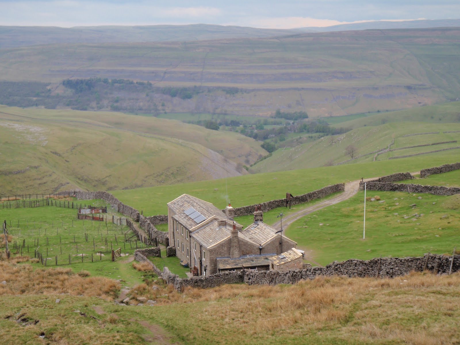
Snowdonia 17-24 April 2010

Saturday 17th
Very quick journey to get to our cottage Nant y Creua in Pentrefoelas. After unpacking, we went for a short walk from the cottage and then back for an omelette. 3.7 km.

[googlemaps https://maps.google.com/maps?f=q&source=s_q&hl=en&geocode=&q=Pentrefoelas,+Betws-y-Coed,+UK&aq=1&oq=pentrefo&sll=54.204861,-2.061639&sspn=0.031627,0.104628&ie=UTF8&hq=&hnear=Betws-y-Coed,+Conwy,+United+Kingdom&t=m&ll=53.007657,-3.772774&spn=0.030987,0.051498&z=13&iwloc=A&output=embed&w=300&h=300]

Sunday 18th

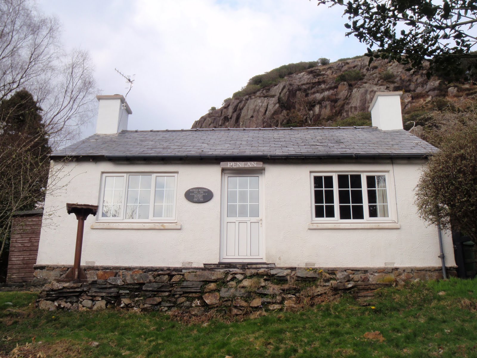
This was only a 4.5 mile walk but we managed to make it last all day. We followed an AA route which did not quite accord with the map. Started from Aberglaslyn car park, up to old copper mining detritus. Lunched at same place I had lunched at in February on WGL course but approached from other side. One bit of steep scrambling which was achievement for C. One fairly precipitous bit which was also handled well. Then I cocked up the navigation but we found the path by watching some others skipping along it. Both sore footed at the bottom in Beddgelert. Went past Alfred Bestall, writer of Rupert stories’ house. Back along Afon Glaslyn and single track railway line. Maureen had recommended this bit and going through the tunnel but this is all fenced off so we couldn’t do it – the tunnel that is. Very exciting so called starter walk! 7.2 km. Back for delicious home made burgers.

[googlemaps https://maps.google.com/maps?f=q&source=s_q&hl=en&geocode=&q=Aberglaslyn,+Beddgelert,+United+Kingdom&aq=2&oq=aberglaslyn&sll=53.047921,-3.687973&sspn=0.065012,0.209255&ie=UTF8&hq=&hnear=Pass+of+Aber-Glaslyn&t=m&ll=53.000013,-4.09996&spn=0.015496,0.025749&z=14&output=embed&w=300&h=300]

Monday 19th

This was mostly a shopping day in Betws-y-Coed. Nice little town and I found several items to purchase. 2 pairs of shoes and a hi-viz windproof jacket. Drove up to Llyn Geirionydd and strolled along the water’s edge for 2.4 km. (1.5 m). This was the roast chicken day and it was also delicious!

[googlemaps https://maps.google.com/maps?f=q&source=s_q&hl=en&geocode=&q=Llyn+Geirionydd,+Trefriw,+United+Kingdom&aq=0&oq=Llyn+Geirionydd&sll=53,-4.1&sspn=0.016271,0.052314&ie=UTF8&hq=&hnear=Llyn+Geirionydd&t=m&ll=53.131067,-3.848991&spn=0.015449,0.025749&z=14&iwloc=A&output=embed&w=300&h=300]

Tuesday 20th

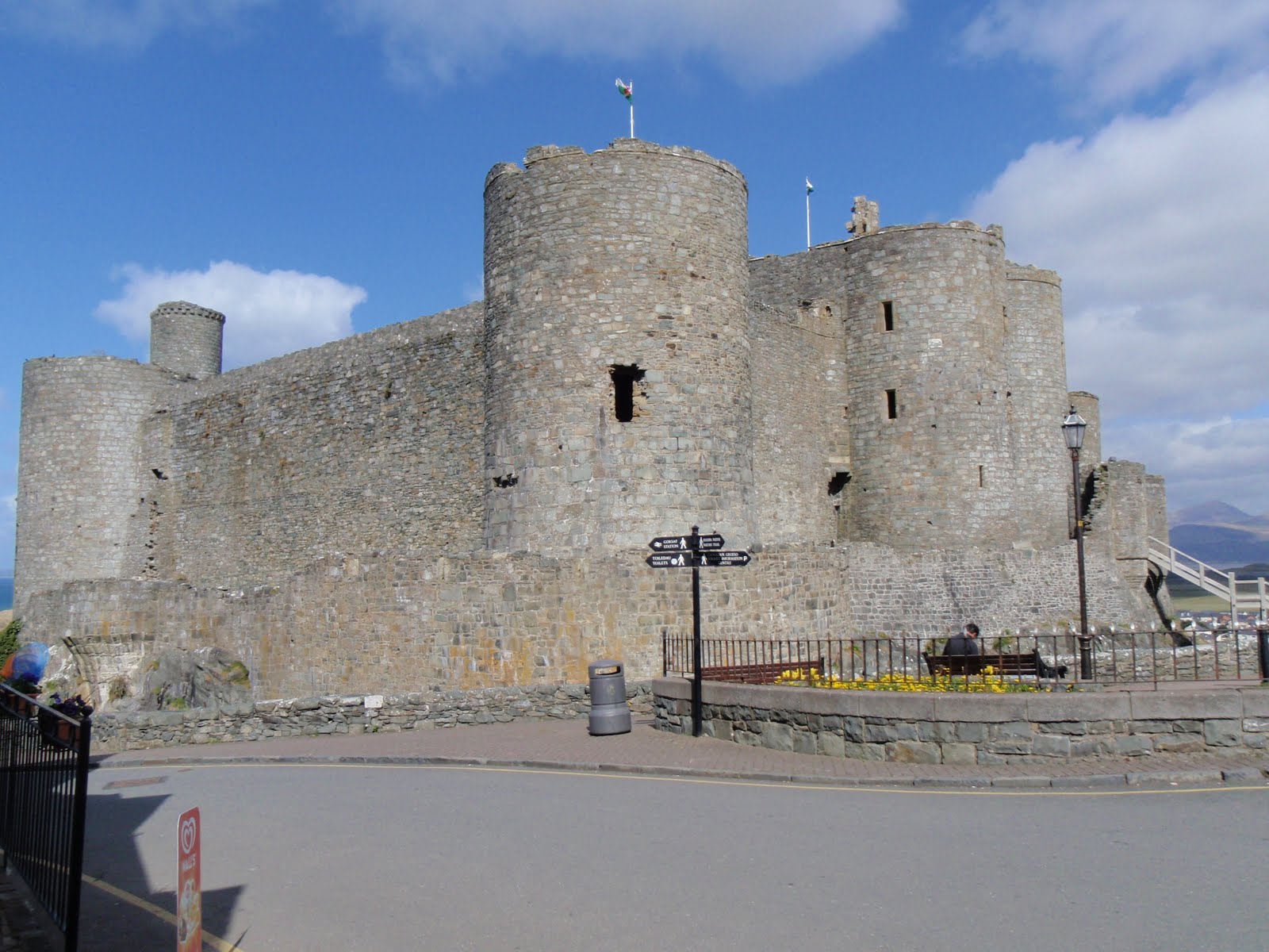
Nice drive over to Harlech across moors with grand views. Wandered around Harlech, nice and sleepy, had good cup of coffee. Short length walk above the town looking over the sea to little reservoir, but whilst sitting on a grassy knoll eating our sandwiches, we were approached by 2 pretty grumpy sheep. I made short shrift with them with my walking pole and shouting so they backed off. We continued on our way to the reservoir this time with all navigation going to text book plan. On our return trip, a great many sheep decided to gang up and started to rush at us. This was a very unnerving and pretty frightening thing to happen. I now really hate sheep and mint sauce is all they are good for. 4.8 km. (3 m). We went to the Bryn Tyrch Inn at Capel Curig. The food was nice (I ate beef) but the service was so slow, we just felt cross. I did tell them this when we left.  Fine if you don’t mind waiting an hour to eat when you have booked a table.

[googlemaps https://maps.google.com/maps?f=q&source=s_q&hl=en&geocode=&q=harlech&aq=&sll=53.131061,-3.848979&sspn=0.016222,0.052314&ie=UTF8&hq=&hnear=Harlech,+Gwynedd,+United+Kingdom&t=m&ll=52.85887,-4.107857&spn=0.015547,0.025749&z=14&iwloc=A&output=embed&w=300&h=300]

Wednesday 21st

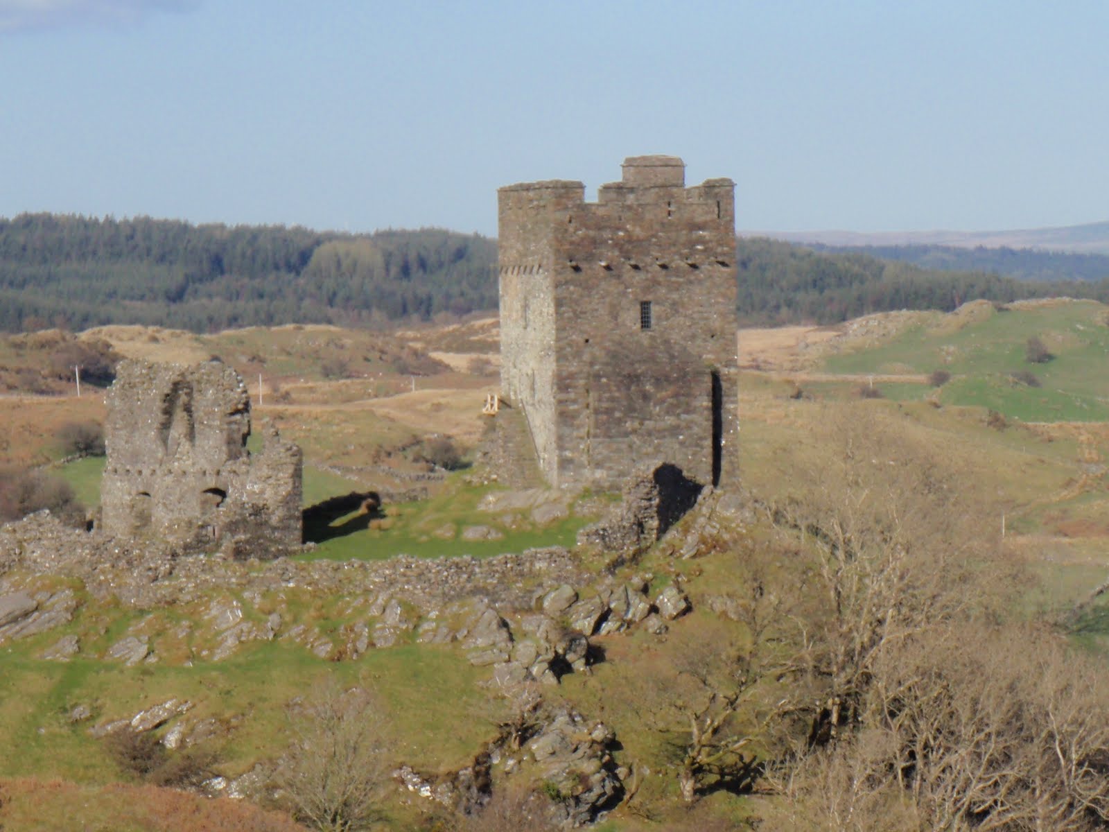
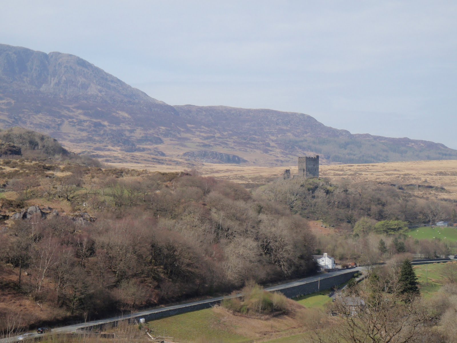
Nice lazy day, went over to Dolwyddelan and walked a bit before heading to castle, got to point where we looked down on it. 4.7 km. (2.9 m) Inspired to make warm salad with left over chicken and potatoes plus added hot bacon and a bit of onion and tomato. This went down well!

[googlemaps https://maps.google.com/maps?f=q&source=s_q&hl=en&geocode=&q=Dolwyddelan+Castle,+Dolwyddelan,+United+Kingdom&aq=0&oq=dolwy&sll=52.874051,-4.051981&sspn=0.032637,0.104628&ie=UTF8&hq=Dolwyddelan+Castle,+Dolwyddelan,+United+Kingdom&t=m&ll=53.052874,-3.908215&spn=0.007739,0.012875&z=15&iwloc=A&output=embed&w=300&h=300]

Thursday 22nd

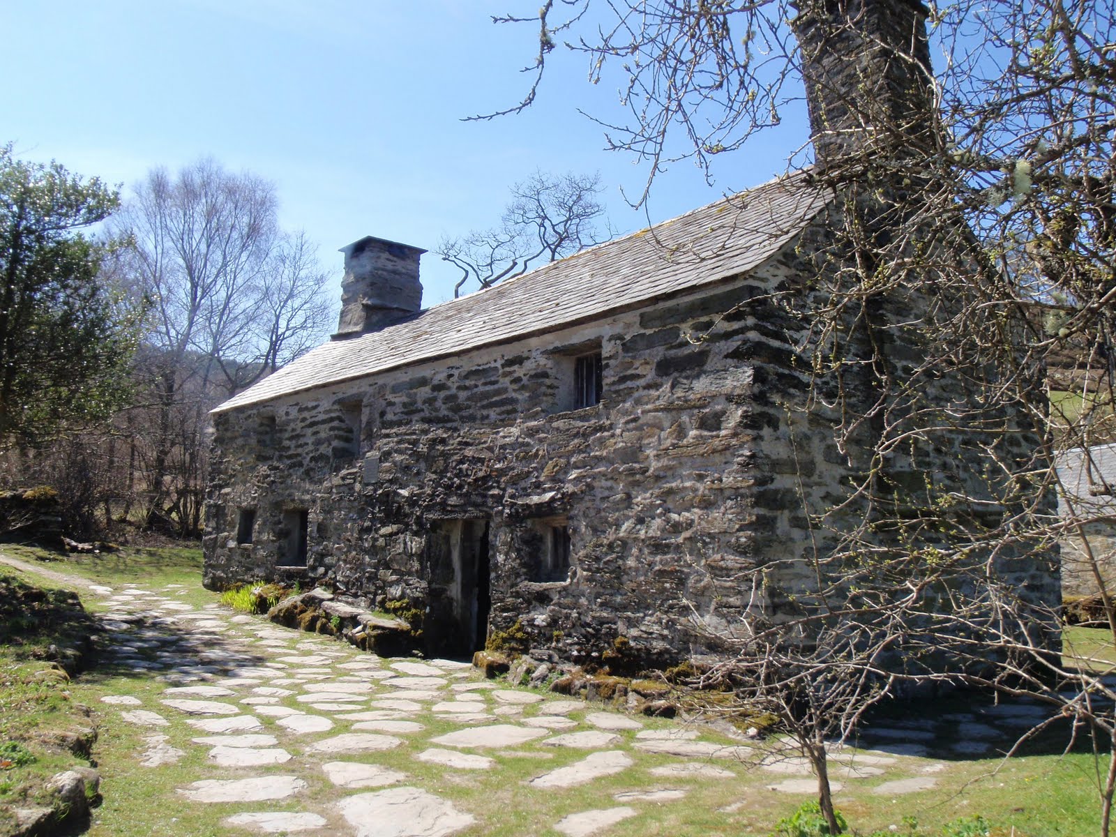
Sightseeing, went to Tŷ Mawr Wybrnant National Trust property. We were duly entertained by Will and had the place to ourselves. Beautiful location. I just love that there 5 consonants in a row. Went for short and very muddy walk in the forest nearby. So muddy it just wasn’t fun. 2.1 km. (1.3 m) Dinner at the Ty Gwyn Hotel in Betws-y-Coed. Nice food but over generous on the portions, just so much we couldn’t eat it all despite our best efforts. Other diners were a pair of middle aged gay gents, a table of 4 quite posh people and a couple who were so pissed they tried to exit the room by walking into the very large wall mirror.

[googlemaps https://maps.google.com/maps?f=q&source=s_q&hl=en&geocode=&q=Ty+Mawr+Wybrnant,+Dolwyddelan,+United+Kingdom&aq=0&oq=T%C5%B7+Mawr+Wybrnant&sll=53.052887,-3.908215&sspn=0.016251,0.052314&ie=UTF8&hq=Ty+Mawr+Wybrnant,&hnear=Dolwyddelan,+Conwy,+United+Kingdom&t=m&ll=53.053493,-3.842468&spn=0.030954,0.051498&z=13&iwloc=A&output=embed&w=300&h=300]

Friday 23rd

This was our best walk day. After buggering about to find the right road to start from, we parked up near an archaeological dig just up from the village of Dolwyddelan. It was straight up for a good 200m which was pretty energising, very steep indeed. Then once the climb was over we were out in open country with no-one else in sight except for an eagle. Sandwiches en route and then down across moor and then farmland, the usual barking dogs, along the railway, through the wood, and back up to the car, a lovely lovely walk. 7 km. (4.4 m) Dinner at the Bistro, Betws-y-Coed, this was a real treat and great that we had booked it for our last evening. The posh people from the night before were also here and they too were much happier with their meal. Excellent food, and great service. Free nibbles to start with and free mead plus sweets to finish. It should be in the Good Food Guide. In fact, I’ve just recommended it.

[googlemaps https://maps.google.com/maps?f=q&source=s_q&hl=en&geocode=&q=Dolwyddelan,+United+Kingdom&aq=&sll=53.054577,-3.889503&sspn=0.032501,0.104628&ie=UTF8&hq=&hnear=Dolwyddelan,+Conwy,+United+Kingdom&t=m&ll=53.053958,-3.886585&spn=0.015477,0.025749&z=14&iwloc=A&output=embed&w=300&h=300]

Saturday 24th

Sad to leave as have had a lovely holiday in nice cottage, peaceful and quiet and restful.

Please visit Map and Compass and learn how to interpret a map with me and my navigation partner, Cath.
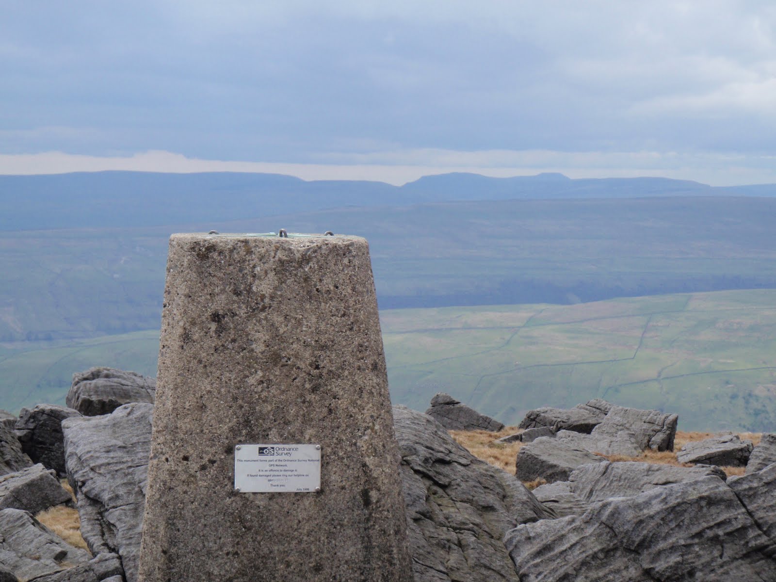
Buckden Pike


It took 2 hours to get the 50 miles to Buckden. Parked in the car park for £3.50 for the day. Nice easy walk in, very warm. On top of the pike in 1.5 hours. Went and looked at Polish war memorial, there is a site all about it. Then followed the wall all the way down, snow still lying in the hollows. Quite steep in places. Located the path back to Buckden. As well as mating frogs on the top of the pike, I saw rabbits racing and 2 dead sheep. One was on the path and very smelly. It only took 1 and 3/4 hours to get home. Wish I could get to the Dales more quickly. As it is, I could have been in the Lakes in the same amount of time, just twice the miles.

[googlemaps https://maps.google.com/maps?f=q&source=s_q&hl=en&geocode=&q=buckden+pike&aq=&sll=54.463453,-0.582962&sspn=0.062857,0.209255&ie=UTF8&hq=&hnear=Buckden+Pike&t=m&ll=54.204876,-2.061653&spn=0.01506,0.025749&z=14&iwloc=A&output=embed&w=300&h=300]

Please visit Map and Compass and learn how to interpret a map with me and my navigation partner, Cath.
css.php