Kettlewell to Arncliffe and back 050611

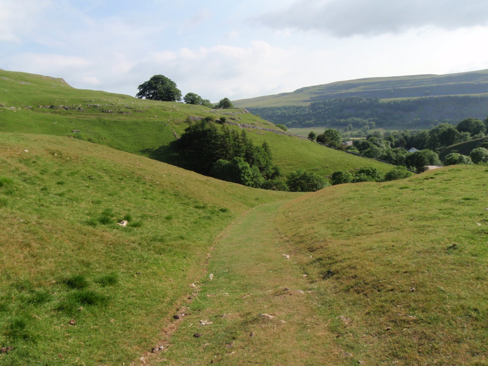
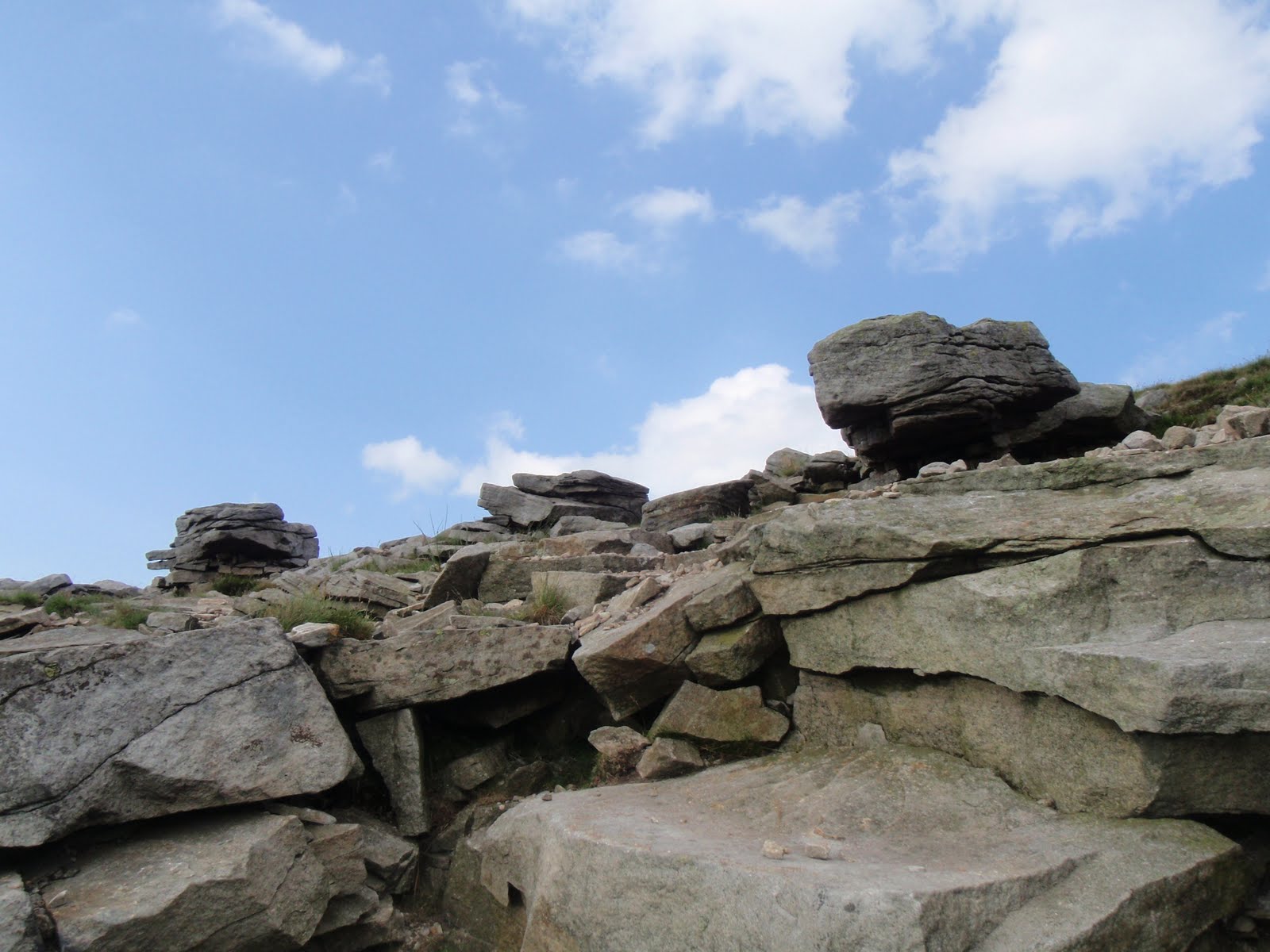
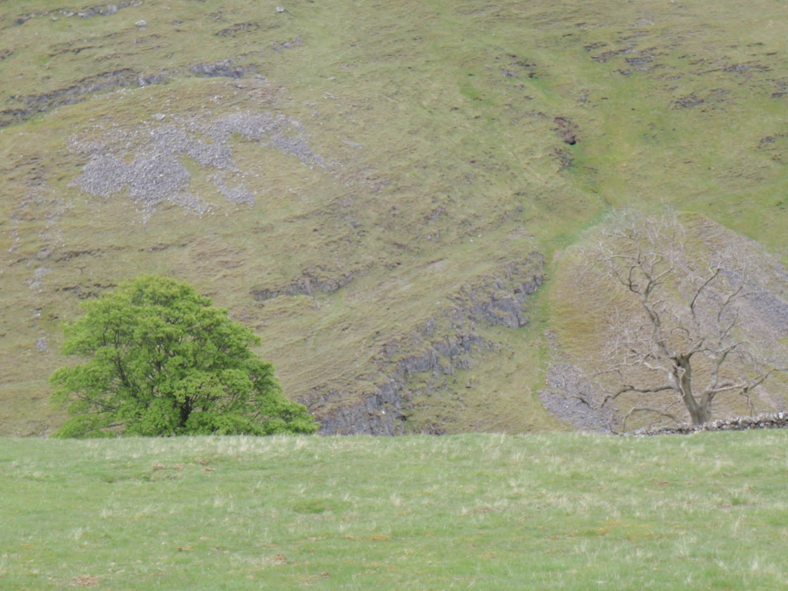
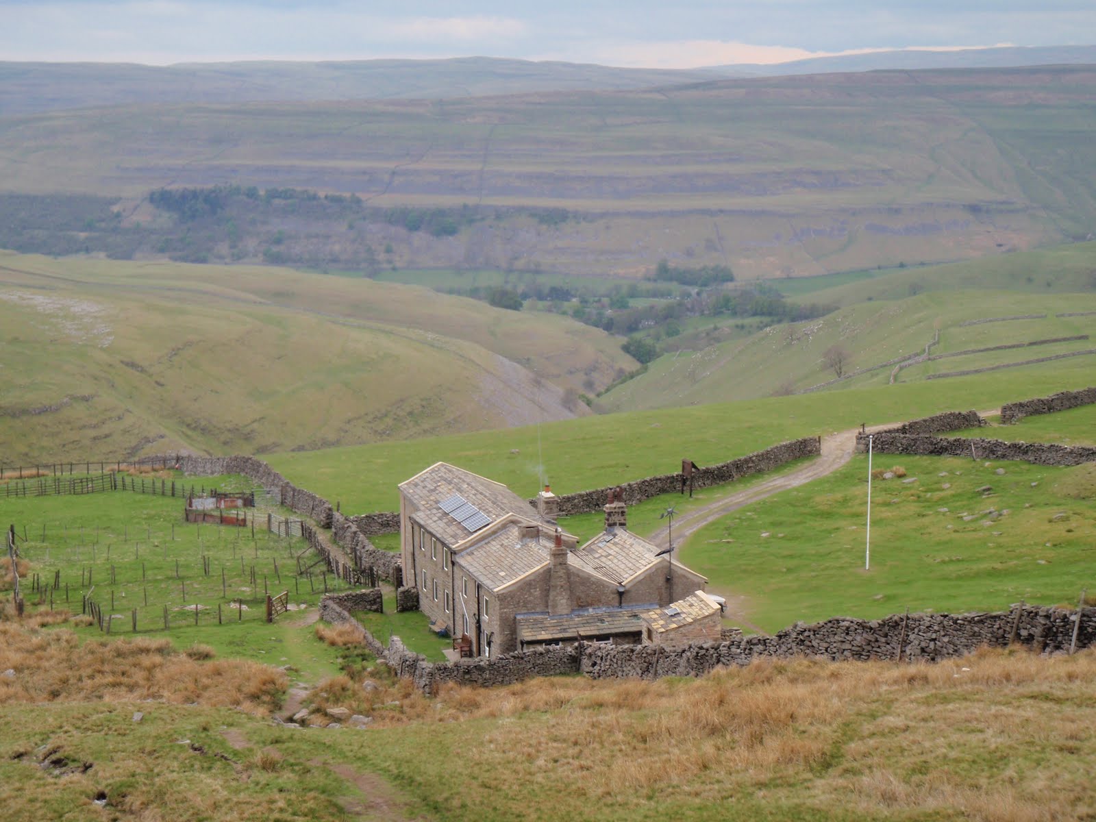
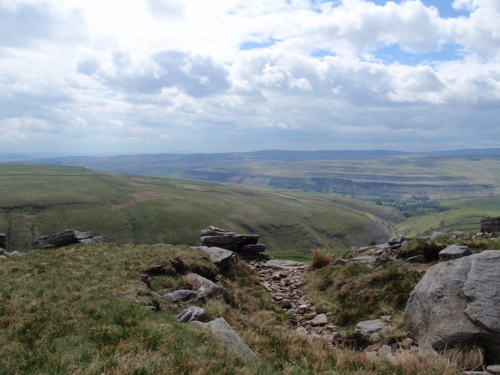
Started off brightly from Kettlewell at 12.30 after a journey of an hour and 25 minutes to get there. I paid £4 for the car park and only spotted the one across the road for £2 when we got back. Straight into a steep climb up the cliff and then most exciting, actually into the cliff and out of the top of it. Great views across to Great Whernside which is really just a long flank with a little bit of high stuff in the middle. We carried on across the moor gently rising and then dropped down to Arncliffe, also down quite a steep section with water running through it. We then toddled along the road and decided not to go into the village as one of the party was feeling a bit tired. So we took the next path back up, skirted round any cliffs and plodded on back to Kettlewell. The tired party became very tired indeed and I did worry at one point about whether we would have to call out MR. However willpower beat fatigue and we got back all in one piece. It was quite windy which always makes it harder going. Although not as big as winds on Grisedale Pike, or on Jura, still windy enough to make a difference. It also kept raining in heavy showers so we wasted a lot of time taking anoraks on and off, which always drives me mad! We only did about 9km in distance but we managed to do about 600m of climbing so not surprising this was taxing. A small walk that turned out quite big.

[googlemaps https://maps.google.com/maps?f=q&source=s_q&hl=en&geocode=&q=Kettlewell,+United+Kingdom&aq=0&oq=kettlewell&sll=55.66423,-3.782755&sspn=0.017332,0.060339&t=p&ie=UTF8&hq=&hnear=Kettlewell,+North+Yorkshire,+United+Kingdom&ll=54.147205,-2.047577&spn=0.015081,0.025749&z=14&iwloc=A&output=embed&w=300&h=300]

Please visit Map and Compass and learn how to interpret a map with me and my navigation partner, Cath.

Great Whernside

27th June, yes this is a bit late.
This was my final bit of training before the Italian job. I’d cocked up because I’d booked a day of annual leave but then completely forgot to block it out in my diary. Then I gaily filled up the entire day with appointments that couldn’t be cancelled.
After our lovely weekend in London for Liz’s 50th on Hampstead Heath but not in the cruising zone, we stayed in a B&B in somewhere a bit obscure in Leicestershire where we got told off for being late. I was hot and definitely not in the mood for this so grumbled. We got home the next morning at about midday and this gave me lots of time to get up to the Dales for a quick hill walk.
Arrived at Kettlewell, whizzed up Great Whernside and back down very quickly. Knee behaved moderately well.


[googlemaps https://maps.google.com/maps?f=q&source=s_q&hl=en&geocode=&q=Great+Whernside,+Kettlewell+with+Starbotton,+Craven+District,+United+Kingdom&aq=0&oq=Great+whern&sll=53.714152,-2.13122&sspn=0.018185,0.060339&t=p&ie=UTF8&hq=&hnear=Great+Whernside&ll=54.160977,-1.998482&spn=0.015076,0.025749&z=14&iwloc=A&output=embed&w=300&h=300]

Please visit Map and Compass and learn how to interpret a map with me and my navigation partner, Cath.

Great Whernside 090510

Another late start, but much faster journey to get to the Dales. This time to Kettlewell, only an hour and a half and parked up for £3.50 (I know the car park fee is incredibly boring but I put it in so I have the right money the next time).
I really needed the navigation skills in the village as managed to set off very confidently up the wrong lane and had to retrace my footsteps to get to the other side of the stream. Once I’d done that it was a very obvious path all the way. I passed a small campsite which appealed to me as it looked very clean and neat and it had a sign with lots of NOs.
From there, a steady ascent across grassy fields along the top of the valley, quite steep drops to the side. Only a few well behaved sheep i.e. they ran away rather than at me, although I am now so wary of them.
The half way point was delightfully named Hag Dyke and was clearly showing as a building, this turned out to be a scout hut in a fantastic location, no neighbours anywhere in sight, overlooking the valley with only a track to reach it. It’s an old farm house and has solar panels and a wind turbine. Inside some scouting people were sitting enjoying a blazing fire. This took me by surprise as I thought they would be out scouting (for girls ha ha that is so bad)!
I climbed up a short steep section and stopped at the top to have my cheese and mustard sandwich. Then it was time for a good chunk of fairly flat ground with another steep section to reach the summit.
It got a bit cold and threatened to rain but held off for the whole walk. Great Whernside is 704m and Whernside is 736m which strikes me as a bit illogical but there you go.
At the top, 2 people were wild camping. They had quite a big tent so I felt a bit sorry for the bloke who was packing it up and looked like he would be carrying it.
Whizzed back down in half the time it took to get up. Had to go and look in the outdoor shop but managed to restrain myself from going mad.
This was the first outing for my new very light rucksack which is called Villain. It really is light and has a lot of bits and pieces to twiddle with and certainly did the job just fine.
Great walk, managed to walk away some of the blues of the last few days.

[googlemaps https://maps.google.com/maps?f=q&source=s_q&hl=en&geocode=&q=Great+Whernside,+Kettlewell+with+Starbotton,+Craven+District,+United+Kingdom&aq=0&oq=great+whernside&sll=53.66049,-2.04408&sspn=0.016021,0.052314&ie=UTF8&hq=&hnear=Great+Whernside&t=m&ll=54.160977,-1.998482&spn=0.015076,0.025749&z=14&iwloc=A&output=embed&w=300&h=300]

Please visit Map and Compass and learn how to interpret a map with me and my navigation partner, Cath.

css.php