Chris and Jak’s Lakeland Adventure Sunday 160510

Ennerdale Water


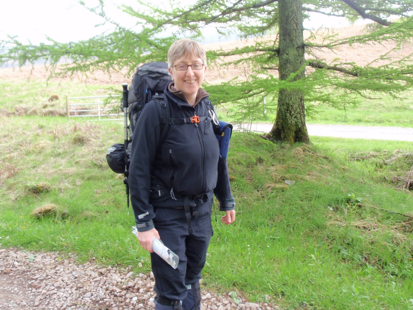
C and I both had a rotten night, too hot, too thirsty but I couldn’t face trying to locate my water bladder which was in my rucksack in the box under the bunk. Then our companions decided to rise early and took all their stuff out of the room and got dressed in the passage. They were doing the C2C and had masses of stuff to carry, huge cameras, books, make up. All I can say is they must be very strong. As they’d properly managed to wake us up by being so considerate we had a chat with them and they seemed a bit more friendly.

Two of the German men were in the room next door to us with the ok crim and the sick crim (self inflicted I suspect given the amount of beer he was drinking). The Germans had to have an extension cable going into the room for their breathing apparatus – they were also doing the C2C but with a Sherpa Van to carry their kit. The 2 women had moved the safety sign which had been put up so that people wouldn’t trip over the cable and helpfully propped it against the door into which the wire went. Sometimes I really do think some people have no sense at all.
C and I both felt very tired so we packed up and went down to breakfast at 7.30. I had muesli and yoghurt and we both had some cooked food, my veggie option not so good, in fact it had that old soapy taste of dried soup from the 70s. Also scrambled egg which I hadn’t asked for and which reminds me far too much of vomit. More toast, no marg for me, just couldn’t face it. We picked up some very nice flapjack and our packed lunches and headed out. The YH is convenient for getting food prepared but the quality is pants for the price. Also they say all their food is locally sourced, organic, fair trade but they are tied in to one supplier so this is bollocks. I’m now starting to think I don’t really want to stay in a YH again as I don’t sleep and the food quality is only ok. The packed lunch was ok but nothing to write home about. I checked out to see if we could camp at Black Sail for when we do our assault on Pillar but this is apparently not an option, so we’ll just have to carry our curries! Which were delicious in comparison with the YH!
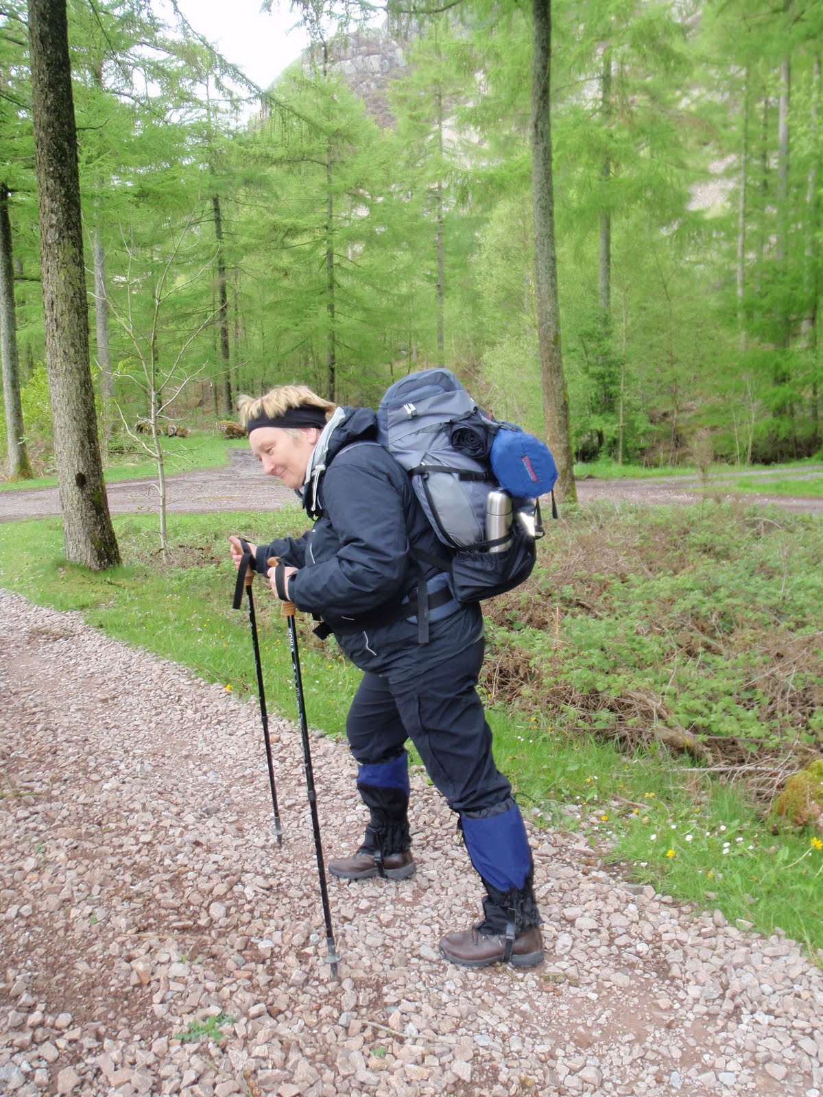
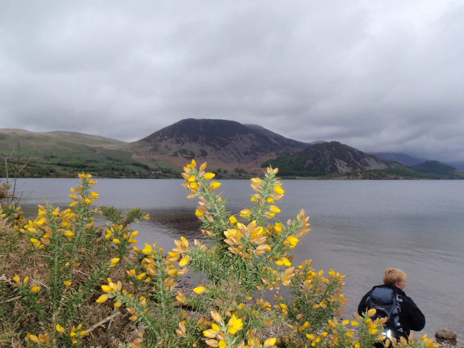
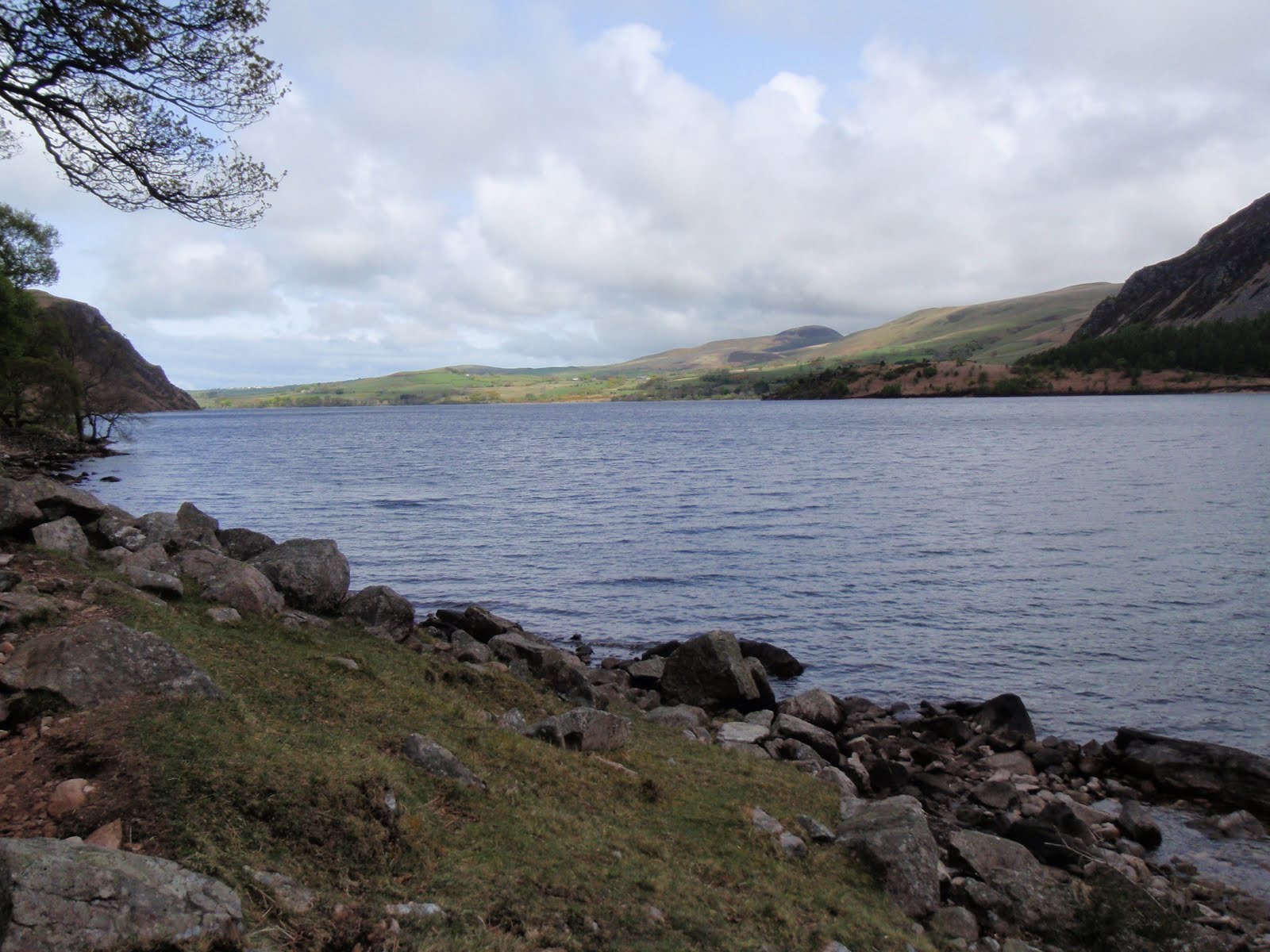
We set off to circuit Ennerdale Water via the south side. This was a lovely walk and everyone else was coming the other way. Some people we saw twice. It looked like it might rain at one point but then it got really warm.
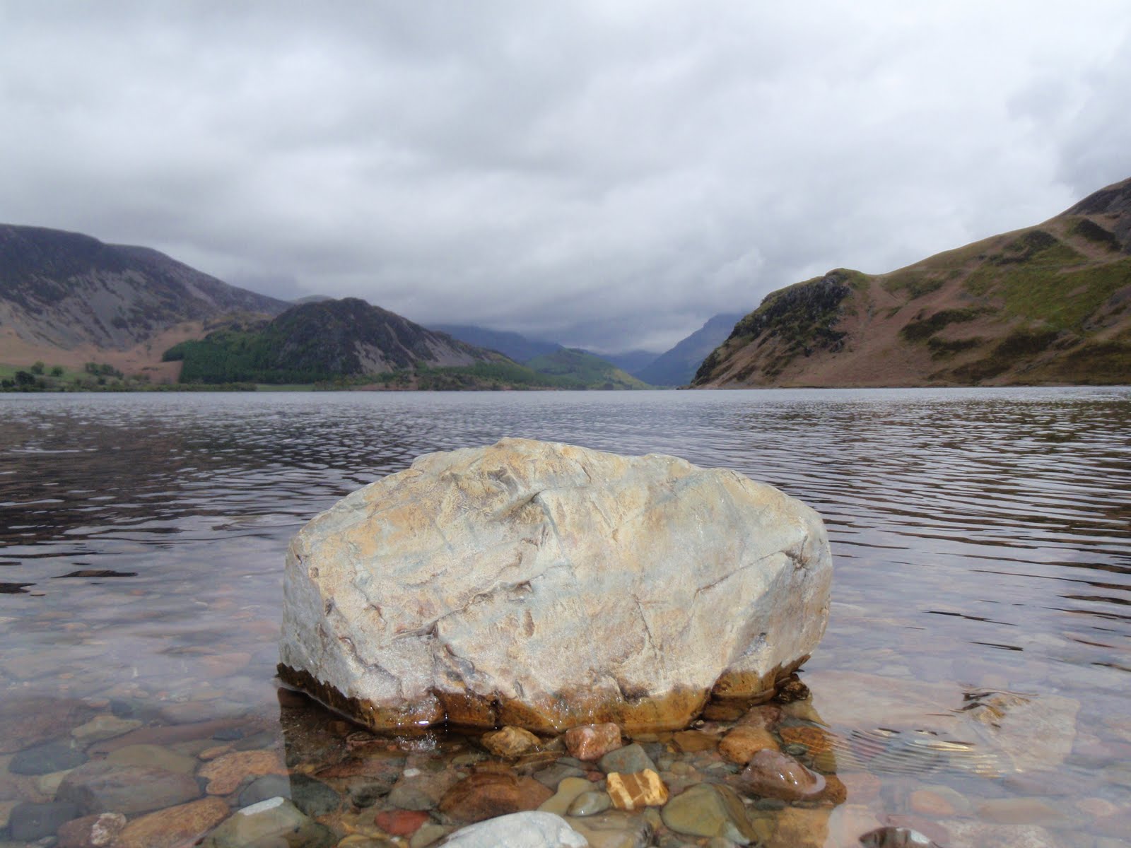
We stopped to eat our squashed sandwiches at the end of the lake near some swans. Then we trotted back around to Bowness Knot and the car.
A bit more pfaffing and moving of items from A to B and back again and it was time to head off to Bassenthwaite. We’d been out of mobile contact since Saturday morning when I’d very briefly got a signal but we still had to drive quite a way before a flurry of texts came whizzing in. It wasn’t very far to get to Bassenthwaite and the Castle Inn.
We checked in, sorted a table for dinner and then went up to our room, no our suite! I had forgotten we’d upgraded to a suite. Totally fab having an extra room. The bathroom was great, huge shower which I quickly took avail of. Then straight off for a swim, jacuzzi, steam room and sauna. Chris ordered a bucket of ice and we put the champagne in and had a little aperitif while getting ready for dinner.
Dinner was nice, quite plain but good that you could really taste the food. Chris had something fishy and I had unidentified vegetable soup. C went for sea bass and me for lamb shank. We washed it down with some large glasses of Sauvignon. Both selected creme brulee for dessert. A small child came to look at us so I put my napkin and did the “how much for the little girl?” bit from the Blues Brothers. After all that we just had to polish off the champagne and then both so knackered it was time for bed.

[googlemaps https://maps.google.com/maps?f=q&source=s_q&hl=en&geocode=&q=Ennerdale+Water,+Ennerdale+and+Kinniside,+Copeland+District,+United+Kingdom&aq=0&oq=ennerdale&sll=54.540988,-3.354172&sspn=0.007842,0.026157&ie=UTF8&hq=&hnear=Ennerdale+Water&t=m&ll=54.522576,-3.381643&spn=0.014944,0.025749&z=14&iwloc=A&output=embed&w=300&h=300]

Please visit Map and Compass and learn how to interpret a map with me and my navigation partner, Cath.

Chris and Jak’s Lakeland Adventure Friday 140510

Floutern Tarn
Ennerdale Water

[googlemaps https://maps.google.com/maps?f=q&source=s_q&hl=en&geocode=&q=Floutern+Tarn,+Loweswater,+Allerdale+District,+United+Kingdom&aq=0&oq=floutern+&sll=54.160972,-1.998444&sspn=0.03166,0.104628&ie=UTF8&hq=&hnear=Floutern+Tarn&t=m&ll=54.541003,-3.354177&spn=0.014938,0.025749&z=14&iwloc=A&output=embed&w=300&h=300]


I didn’t sleep very well as was concerned about my rucksack being too heavy. I arrived at Chris’ house to find her still squeezing the kitchen sink into her rucksack. We set off and stopped at the services near Lancaster to take advantage of Marks and Spencer. We took advantage of a few other things and nearly froze to death waiting for our drinks at Costa Coffee, which wasn’t giving me any points for my Costa Coffee card. We both got nice healthy salads for lunch and filled wraps for the next day’s lunch. About an hour later we arrived at Bowness Knot car park which thankfully was free – I’m not sure what we would have done if a ticket machine needed to be fed with money over 3 days. We lunched before getting going.
We finally left the car park and plodded along the road, it was hard to get used to the full pack and various aches and pains came and went. Set off along the footpath only to find that it was obstructed by a fallen tree/bush. This meant we had to crawl through dragging our packs with us. We took it all slow and steady, stopping to watch shepherding by quad bike, motorbike and dog. Seemed to involve a lot of shouting for no particularly obvious purpose. No whistling or arcane gestures sadly. Whatever happened to “One Man and his Dog“? That answers that then, how weird it’s still going, bit like the Archers.
We continued to rise gently and reached Floutern Tarn at about 5.30. We were very careful about picking a camp site, and ended up close to the lake’s edge but not too close on a nice dry spot which was reasonably flat and a bit sheltered from the wind.
Next we pitched the tents which for me took forever as I’d put it away with some of the tent attached to the wrong bits of the flysheet. Chris got her Vango Banshee up pretty quickly. My Vango Spirit followed. By this time it was starting to get a bit nippy so I trudged back up the hill to find a phone signal, fabulous views across to Haystacks.
Returning to camp, we quickly got cooking. Settled on 2 curries and rice. This was just about the right amount of food and was hot and quick to prepare. Great. Then Chris came in my slightly bigger tent to do the crossword. Then although it was still light it was time to try and get warm enough to sleep. This proved hard for both of us, Chris only had a lightweight down bag with silk liner so she wore most of her clothes. I had a heavier weight down bag and was warm on top but my feet were like lumps of ice. Eventually when it finally got a little bit dark, I took my socks off and rubbed my feet together and then they got warm and I managed to sleep. My self inflating sleeping mat was good, a huge improvement on Karrimats.
I’m not sure how much less I would carry to keep the weight down, my tent is heavier than I thought, 3 litres of water is heavy but I used most of it. The most important thing we didn’t have was any rum!

Please visit Map and Compass and learn how to interpret a map with me and my navigation partner, Cath.

Caudale Moor 030510

It was so hard to motivate myself to get going and really start on the training. Last year I was totally driven and obsessive which meant I just got on and did the walks. This morning, I could happily have stayed in bed. Finally decided on Stony Cove Pike and didn’t even leave the house until 10.15. Stopped for diesel and got to the FREE (a welcome first for the Lake District) car park at Kirkstone Pass pub at 12.30. Just over 2 hours later I was at the top of Stony Cove Pike with great views across to High Street. It was sunny but cold and windy so was thankful for my winter kit. Then at the top it started to hail and this turned to sleet on my way down. Got back to the car about 3.50 and was home just after 6.30, having stopped at 50% sale in big outdoor shop, but failed to find anything at 50% to grab me so bought a day glo shirt at full price! I hadn’t been able to find Stony Cove Pike in any of the Wainwright books before I left but put this down to what ended up as a bit of a rush. The mystery is now solved, AW refers to this perfectly well named Pike as Caudale Moor. Honestly, he is so annoying. Had a very nice day and being less driven seemed to make this a much more enjoyable experience!

[googlemaps https://maps.google.com/maps?f=q&source=s_q&hl=en&geocode=&q=Caudale+Moor,+Lakes,+South+Lakeland+District,+United+Kingdom&aq=0&oq=caudale+&sll=53.053941,-3.886577&sspn=0.016251,0.052314&ie=UTF8&hq=&hnear=Stony+Cove+Pike&t=m&ll=54.482007,-2.89876&spn=0.014959,0.025749&z=14&iwloc=A&output=embed&w=300&h=300]

Please visit Map and Compass and learn how to interpret a map with me and my navigation partner, Cath.

Helvellyn 060909

Wythburn church


Left nice and early so managed to get to Wythburn car park at 10.00. The car park would have cost me £5 but the ticket machine was “Not in use”. Great.

A group of Polish (I think) people were smoking in the car park and set off before me. A short time later I overtook them, to say they were inappropriately dressed just doesn’t cover it, ready to go clubbing more like it!
Lovely walk through pine woods, rising steeply onto the fell with a few craggy bits and water chasing down. I’m starting to see what Wainwright means, it’s more interesting in terms of variety of landscape.
Fairly got up quickly. Had a chat with a bloke on the way and even patted his dog. Turned right at the junction and whizzed up to Nethermost Pike. Windy and some hard drizzle on the tops. Short whizz up to Helvellyn having looked across at large quantities of mad people doing Striding Edge despite the great wind and cold. I was told it was only 5 degrees on the top, but in my new Paramo I didn’t feel cold at all.
There was a tent on the summit which may have been connected with a triathlon (swim, “run” [not when I saw them!], bike). Also saw another tent down by the tarn and another one on my way down.N
Quick look round the top, had my sandwich in the rather grim shelter, sharing it with a couple and 2 small dogs with coats on. Wretched dogs far too close to my sandwich for comfort so had to eat it fast. I did feel cold in the windiest section of the shelter so didn’t hang about. Then more whizzing back down. A little rain on the way down but got down very quickly.
I never saw the Poles again so think they must have given up quite early on.
Great to have a walk with actual views for a change and not loads of rain.

[googlemaps https://maps.google.com/maps?f=q&source=s_q&hl=en&geocode=&q=helvellyn&aq=&sll=54.541601,-2.988281&sspn=0.125474,0.41851&ie=UTF8&hq=&hnear=Helvellyn&t=m&ll=54.527059,-3.017635&spn=0.029885,0.051498&z=13&iwloc=A&output=embed&w=300&h=300]

Please visit Map and Compass and learn how to interpret a map with me and my navigation partner, Cath.

Some Dodds 300809

Where the old YH sign used to be
Castlerigg Stone Circle


Started off from home a bit later than usual as would have more time later in the day. Getting through the Windermere, Ambleside, Grasmere bottle neck was immense fun and made the journey seem never ending.

My original plan had been to pitch tent and then walk but it was so late I parked at Legburthwaite car park and got walking.

Up to Sticks Pass having lunch on the way with my back to the wind and rain and then left this time to reach Stybarrow Dodd. The tops were in total mist although it did clear enough for me to get an idea of what was where. The now properly waterproofed jacket did the job fine this time, as did the new waterproof gloves. Went across to Watson’s Dodd and then returned by the same route.
Got down in almost half the time it took to get up, despite the wet and grassy slopes. Wainwright hated grassy slopes. During his account of his walk up the Pennines during the outbreak of WW2, almost 70 years ago to the day, he describes his footwear in detail and it was not up to the job so I reckon he skidded around too much on the grass and didn’t like it. In that book, he comes over as a very selfish and grubby man. No change of clothes for his weeks of walking and only one handkerchief! My favourite episode is where he arrives at a farm which has been flooded and Mrs Farmer is busy trying to deal with a flood. Instead of pitching in or offering to help, he demands tea from her!
As well as some more physical fitness, all this solo walking is also giving me more mental stamina and confidence which is great. So some good has come out of the apparent lunacy!
Back to the car, passing the old Thirlmere youth hostel at Stanah, now a very sorry sight, neglected and left to rot. The YHA shut it in 2001.
Decided to go to Castlerigg Farm Campsite as opposed to Castlerigg Hall Campsite. These are literally next door to each other but the Hall has lots of facilities and the Farm has fewer and is cheaper plus it has a “no noise after 10.30” policy.
I put the tent up very quickly, the dry run in the sitting room proved useful. It actually stopped raining whilst I did this which was nice, although not strictly necessary as the tent pitches with the fly attached, fab.
Got settled in and cooked my supper, pasta with stir in sauce, excellent. I was so hungry. Pocket Rocket worked like a dream, heated water fast. Pots also efficient as well as light.
Got warmed up with Paramo gilet and got into sleeping bag. Also warm and comfy. Dark early so read my book and tried to sleep but foam sleeping mat just not enough for my bones. Then it rained and rained and blew and blew so finally dozed off sometime around 3.00. Woke at 7.00, very groggy.
Brewed up coffee and had breakfast. Now so wet that decided to cancel walk to Helvellyn. Felt a bit crap about giving up walk, that had been purpose of camping trip but rain was extreme.
Struck camp, throwing all wet stuff, i.e. nearly everything, straight into the boot. The tent had kept me warm and dry and did very well for its first outing. A good test for future wild camps. All gear had worked well.
Went to Castlerigg stone circle and wandered round it in the rain. Then went and took some photos of the youth hostel at Stanah. Into Keswick to wander round all the gear shops for an hour.
Set off for home. Yet another crawl most of the way. Bit disappointed but the mountain will still be there next week.

[googlemaps https://maps.google.com/maps?f=q&source=s_q&hl=en&geocode=&q=watsons+dodd&aq=&sll=54.534087,-2.970821&sspn=0.125498,0.41851&ie=UTF8&hq=watsons+dodd&hnear=&t=m&ll=54.534231,-2.971115&spn=0.119521,0.205994&z=11&iwloc=A&output=embed&w=300&h=300]

Please visit Map and Compass and learn how to interpret a map with me and my navigation partner, Cath.

css.php