Stones above Todmorden 24th June 2018

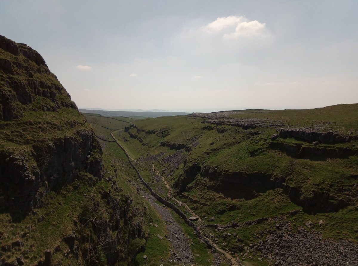
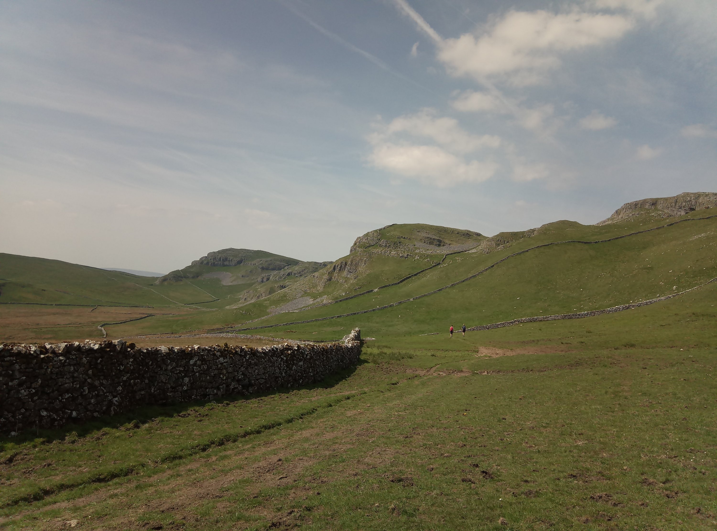
I decided to do another of the AA Walks, this one from Lydgate to the Whirlaw Stones, the Bride Stones, the Hawk Stones and the Orchan Stones. I’ve done some of this with Cath and also most of it with Chris who loved it.

The AA description is a bit out of date. I’ve sent them some amendments so hopefully they will update it on the web, they make a lot of reference to the Sportsmans pub which is long shut. The first hurdle was a very overgrown path in Lydgate but I reported this to the Ramblers via the Pathwatch app which sends the Ramblers a grid reference and a photo which they then send to the relevant local council.

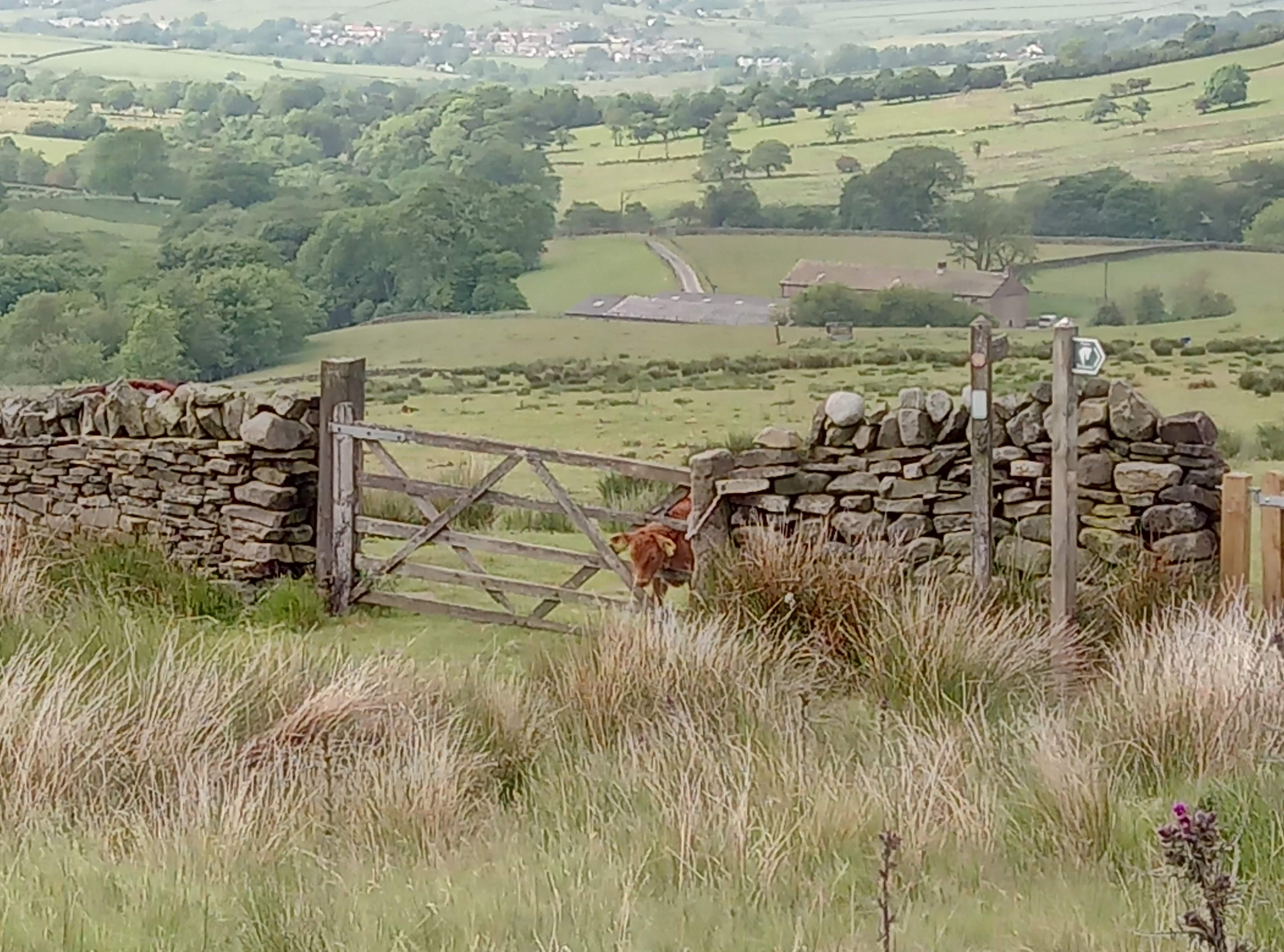
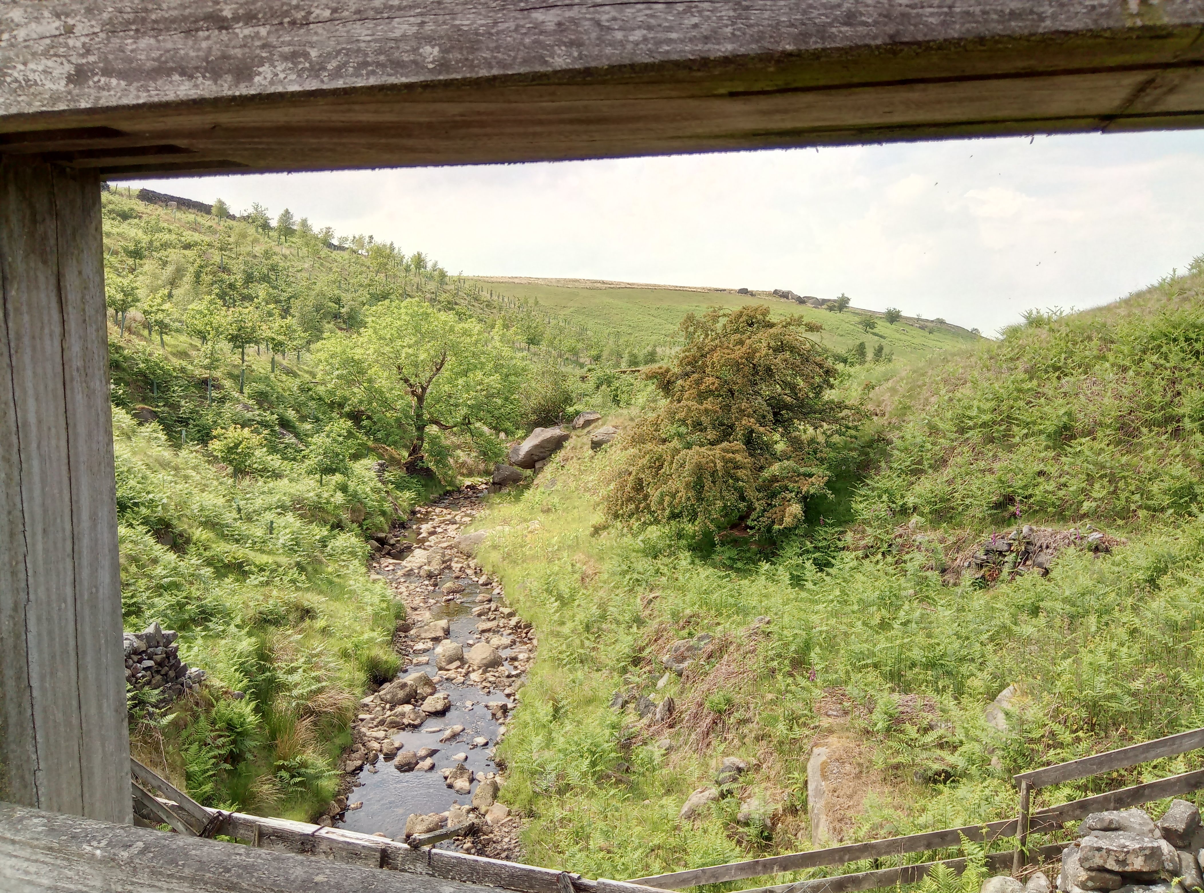
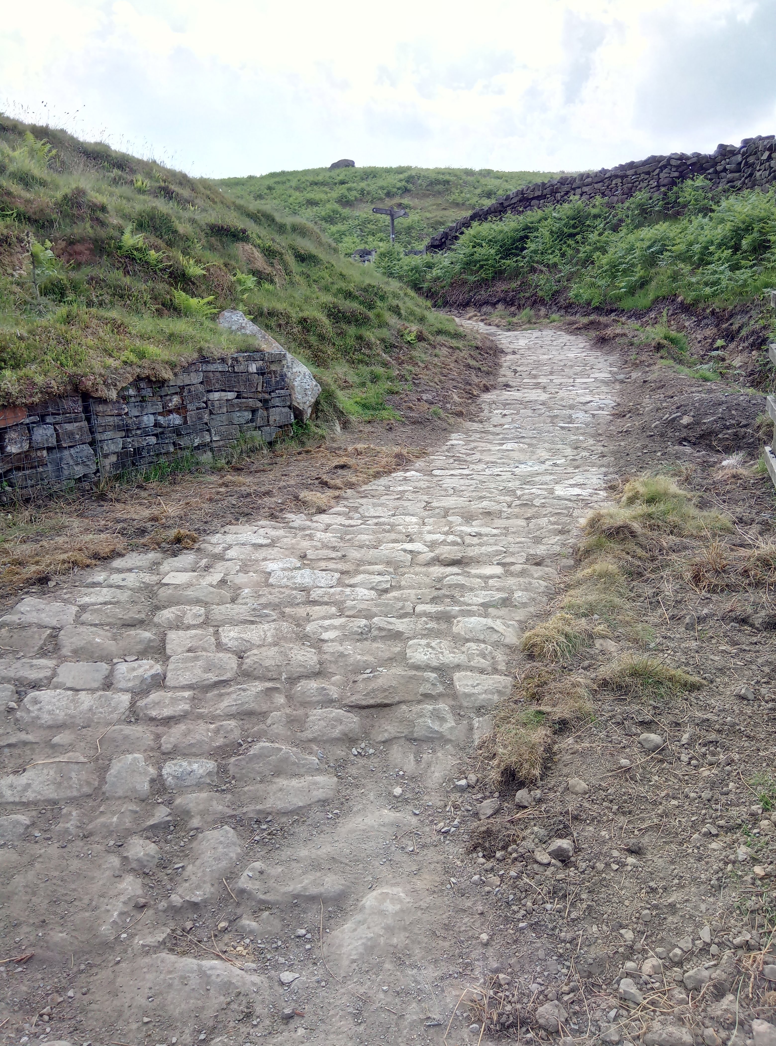
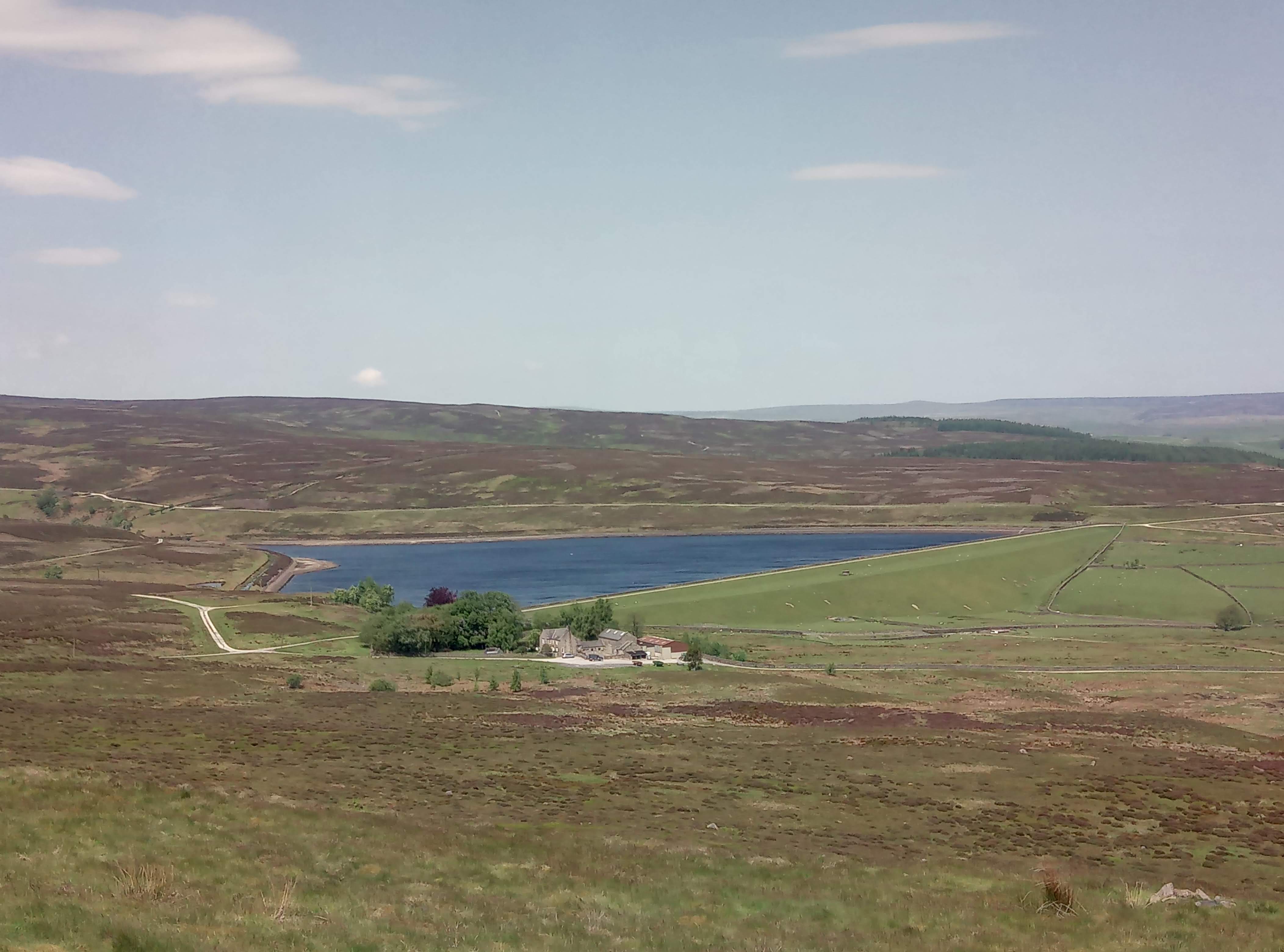
It was pretty hot but the first section is nice and shady, the path is no longer sunken but a concrete track and very steep. Into the sun and then yet another dead sheep, this one very smelly and with lots of flies. I walked under the Whirlaw Rocks and sat on a bench to eat my lunch. Then up a bit more, past Windy Harbour and the stone head, past a new build called Mast Farm but no mast in sight and definitely not where the map was saying it was. Up onto the Bride Stones where someone was drumming in a cleft in the rocks. Across to the non pub and along the road passing the Hawk Stones on the right. Down Mount Road, past a very ancient stone cross that I don’t remember seeing before but maybe I just wasn’t looking. Along a section that the AA needed to explain in a bit more detail. Then down past the Orchan Rocks and back down another shady wide track to Lydgate.

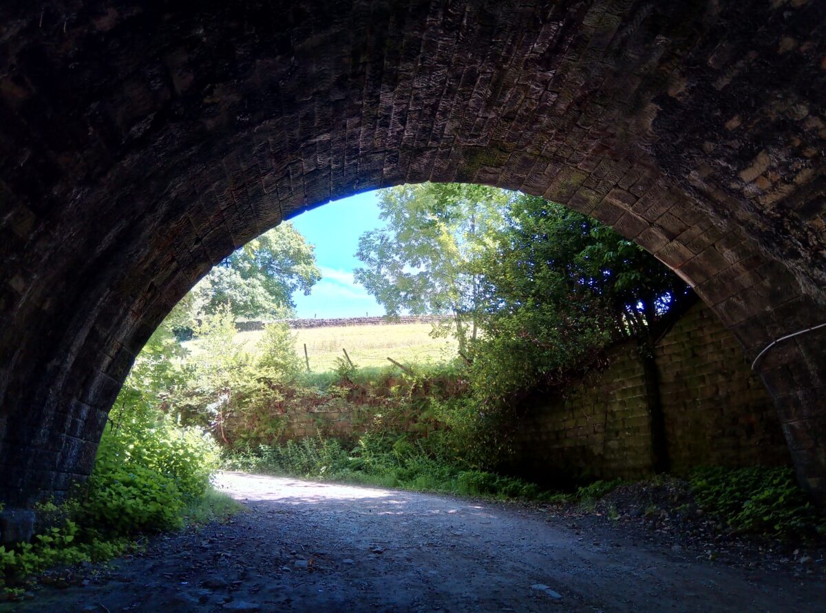
Under the railway at Lydgate
At Windy Harbour
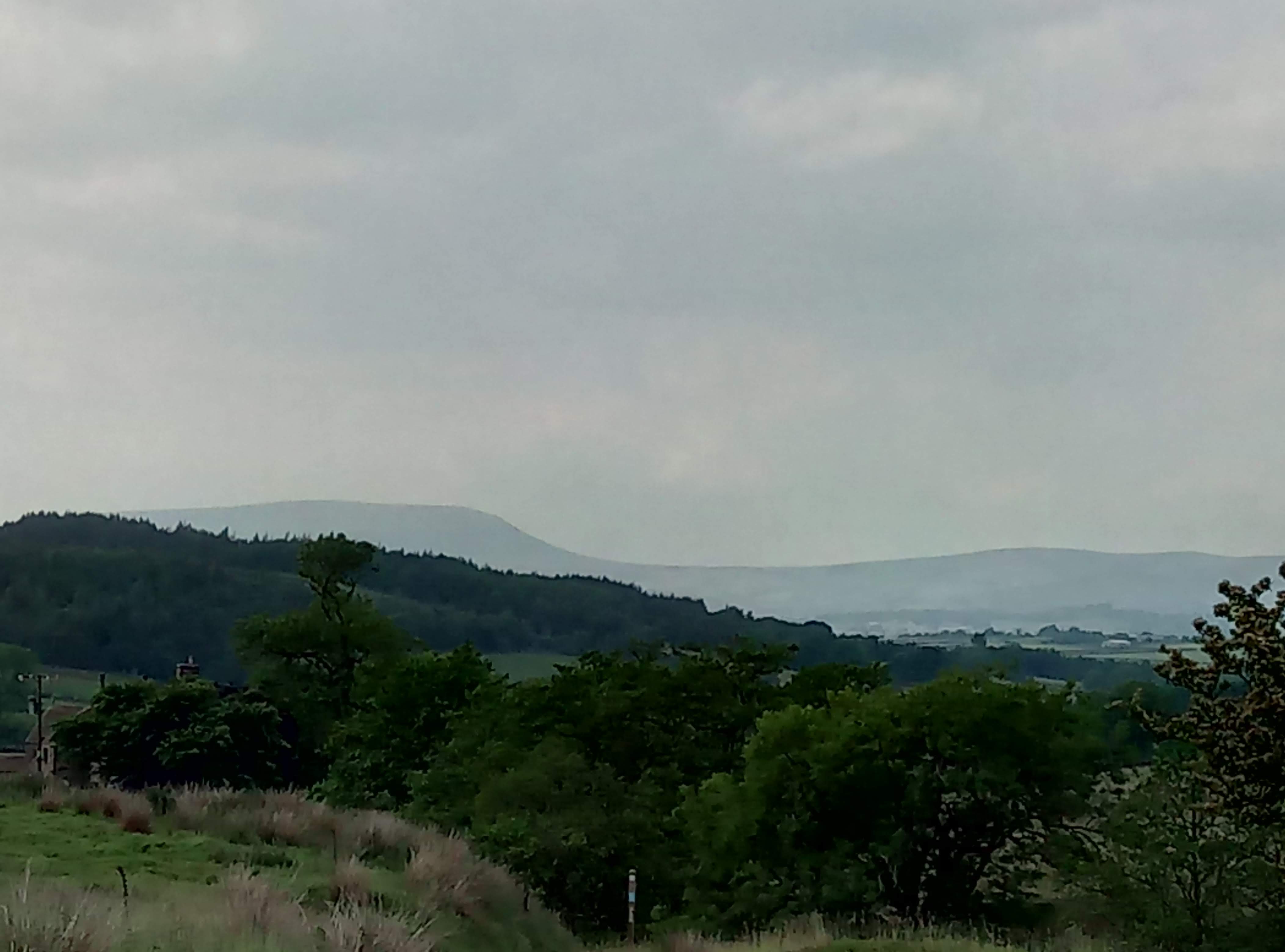
Stoodley Pike from the Bride Stones
Bride Stones
Mount Cross
Orchan Stones
Please visit Map and Compass and learn how to interpret a map and use a compass with me and my navigation partner, Cath.

MAPandCOMPASS

Oxenhope circular 17th June 2018

Babs and I did a route from the AA. Babs led the walk and I followed on the map. We did about 6 miles, good walking weather. Stopped at the Dog and Gun for the loo, on the moors for lunch. Saw a dead lamb, also what I thought was a dead fledgling but it moved so Babs put it off the track so at least it wouldn’t get trodden on.

We finished up at Oxenhope station which has nice loos and sat on the very uncomfortable seats in the stationary buffet train. I had a nice ice cream and Babs had toast and jam.

IMG_20180617_122442_9
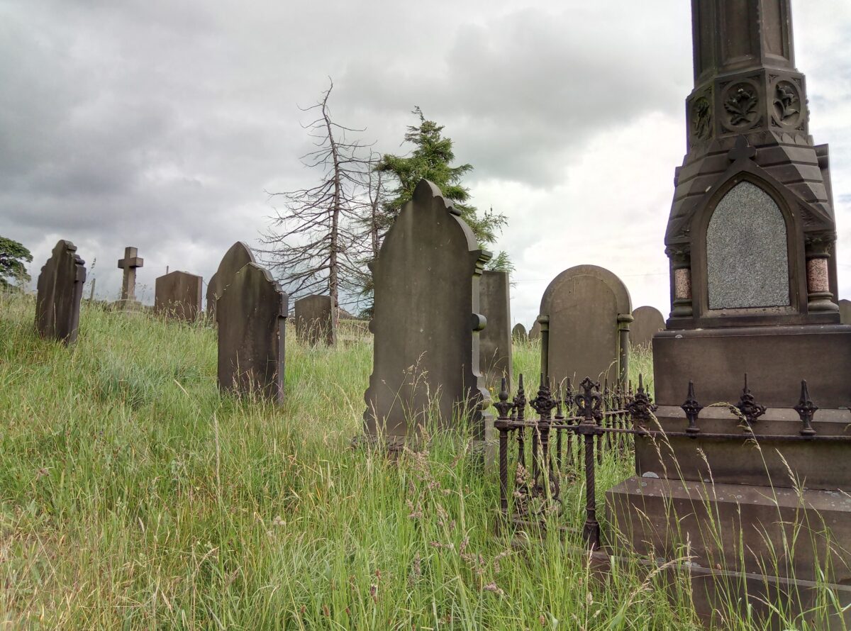
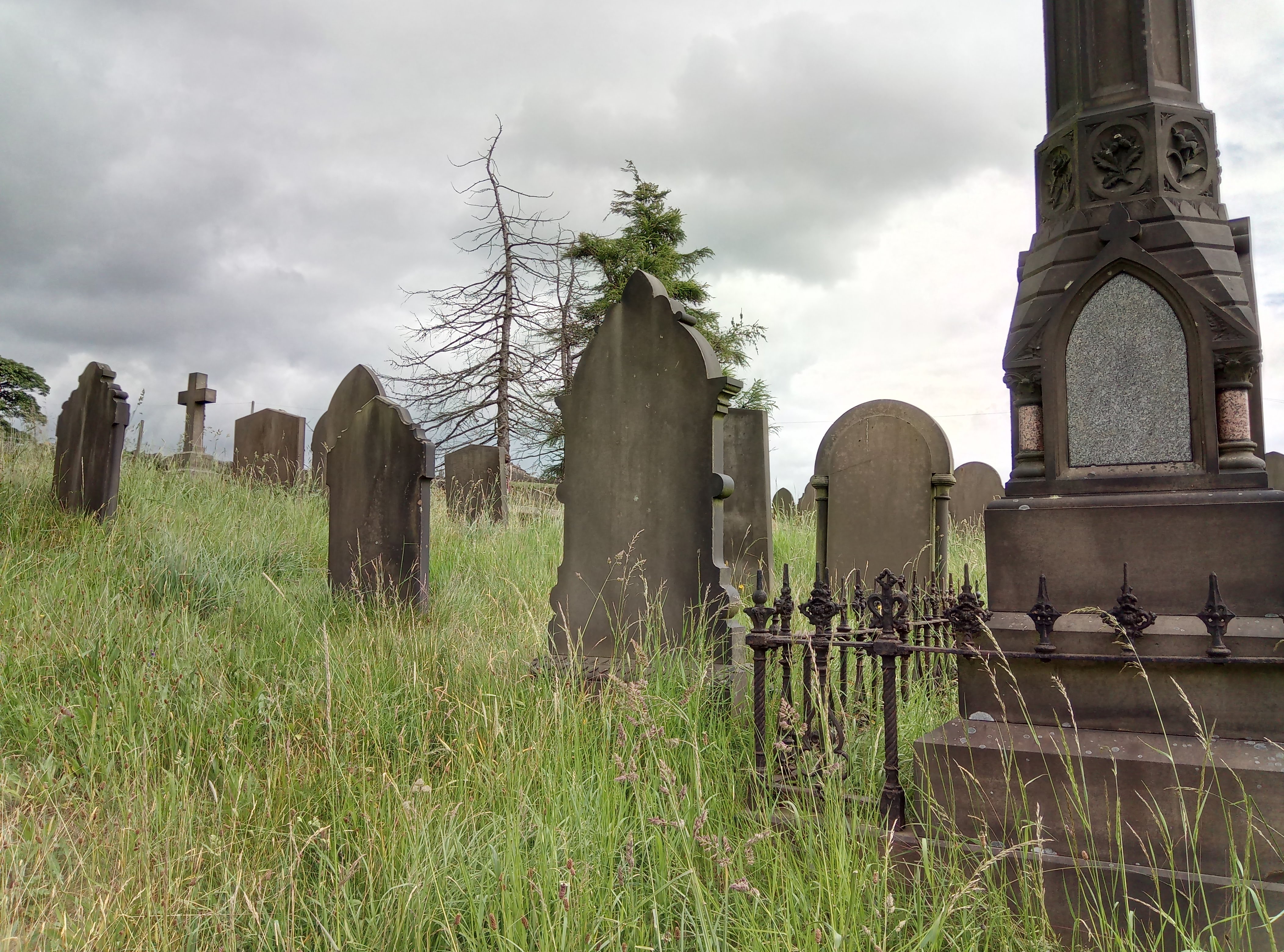
Disused graveyard between Leeming and Sawood
IMG_20180617_135058_2
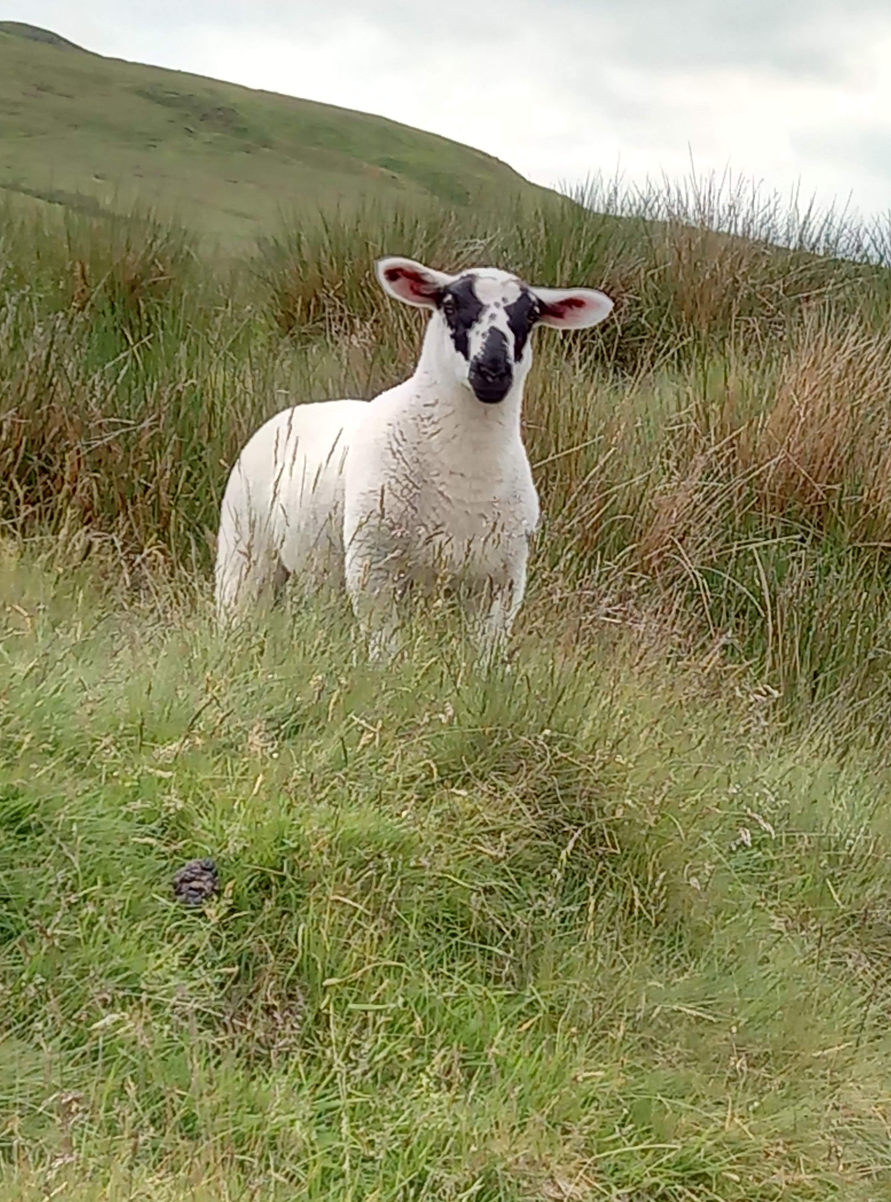
Very much alive lamb

Viewranger route

Please visit Map and Compass and learn how to interpret a map and use a compass with me and my navigation partner, Cath.

MAPandCOMPASS

Barden reservoirs 27th May 2018

Warm and sunny day. Parked at Halton Moor.

I started off by taking a sight bearing to what I thought was a trig point quite a long way away. Mulled this over as the 290 seemed a bit short angle wise of where the trig was on the map. Worked it out, my sight bearing was actually to an obelisk on Watt Crag which was at 290.

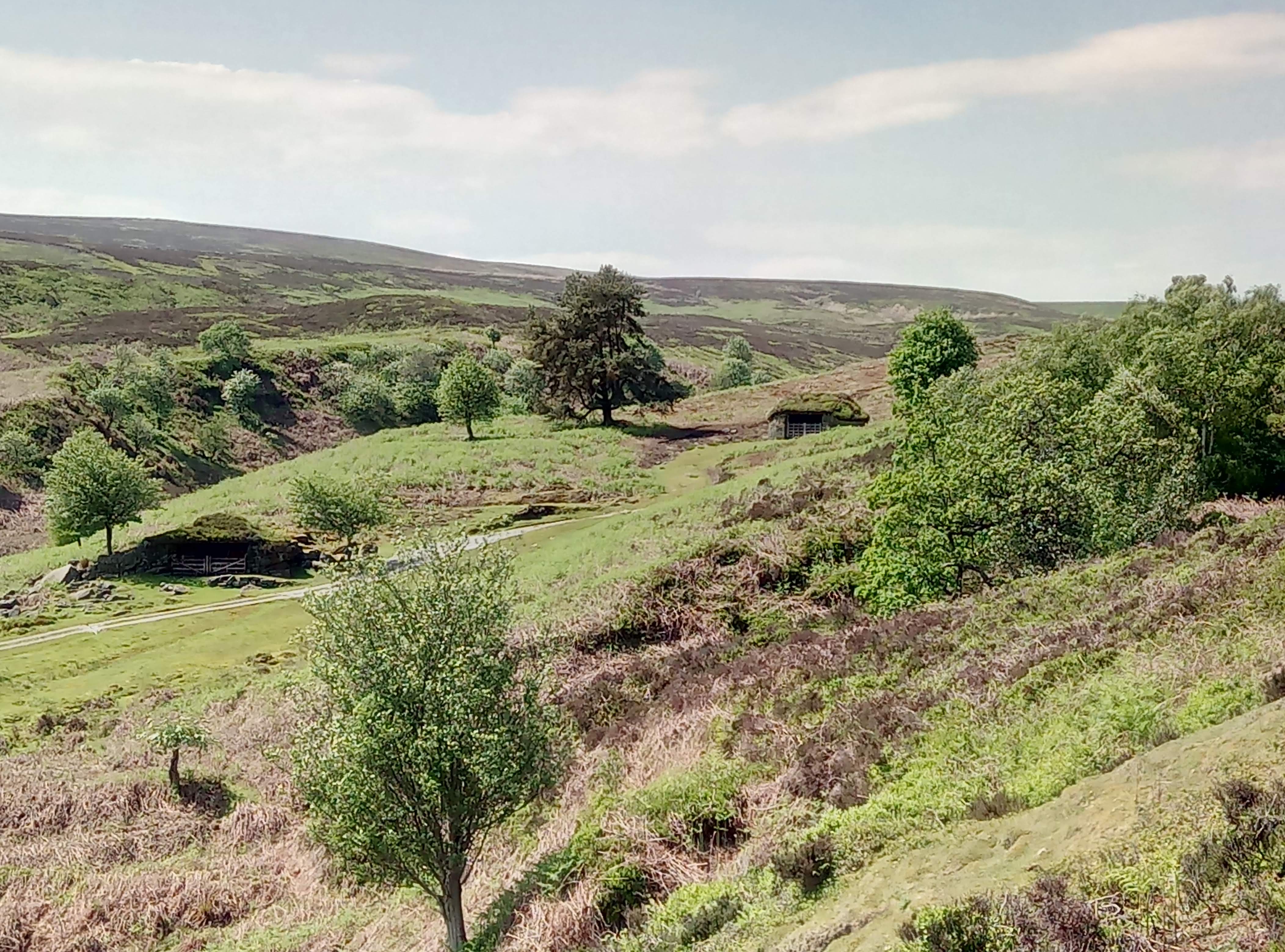
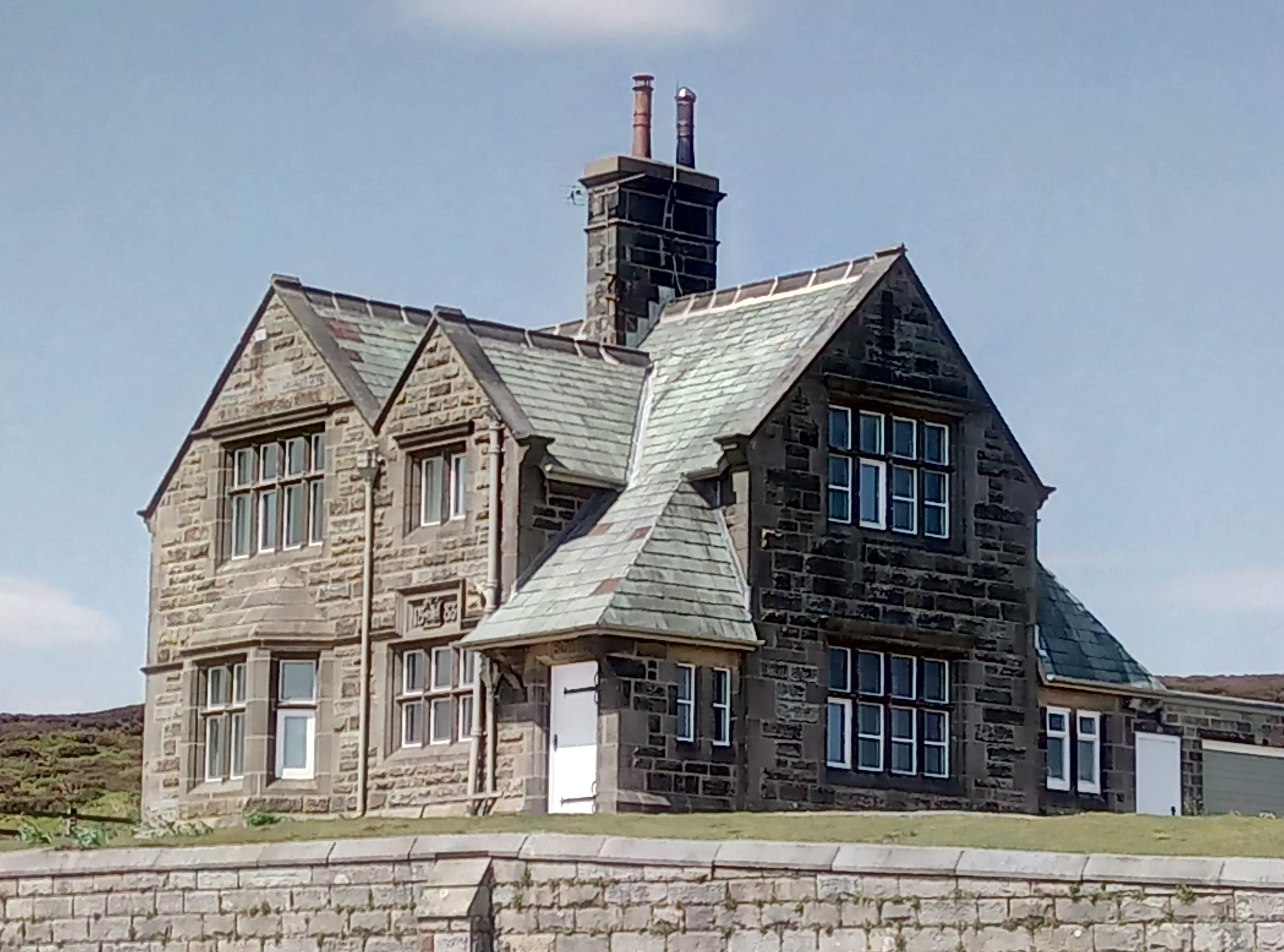
Down to Barden Lower reservoir, on access land but following a permissive path. Some confusing signage like don’t go this way and do go this way both at the same place. I just did what the map said I could do. Up to Barden Upper reservoir where there is a big old waterworks house, very remote feeling and exposed, seemed empty but was in good nick with non broken windows and new ridge stones, looking like they’d only recently been bedded in. Slightly spooky because there was no-one around.

Had some lunch and stood up only to see a man’s grey head in the sheep fold. Slightly surprised as I’d had no idea there was anyone around.

I then took a bearing to ensure I was on the correct path for the return. The bridleway wasn’t very clear on the ground so this helped. No dogs or cycles are allowed on it despite it being a bridleway because it’s part of the Bolton Abbey estate.

img_20180527_132226_7
Barden lower reservoir
img_20180527_135414_8
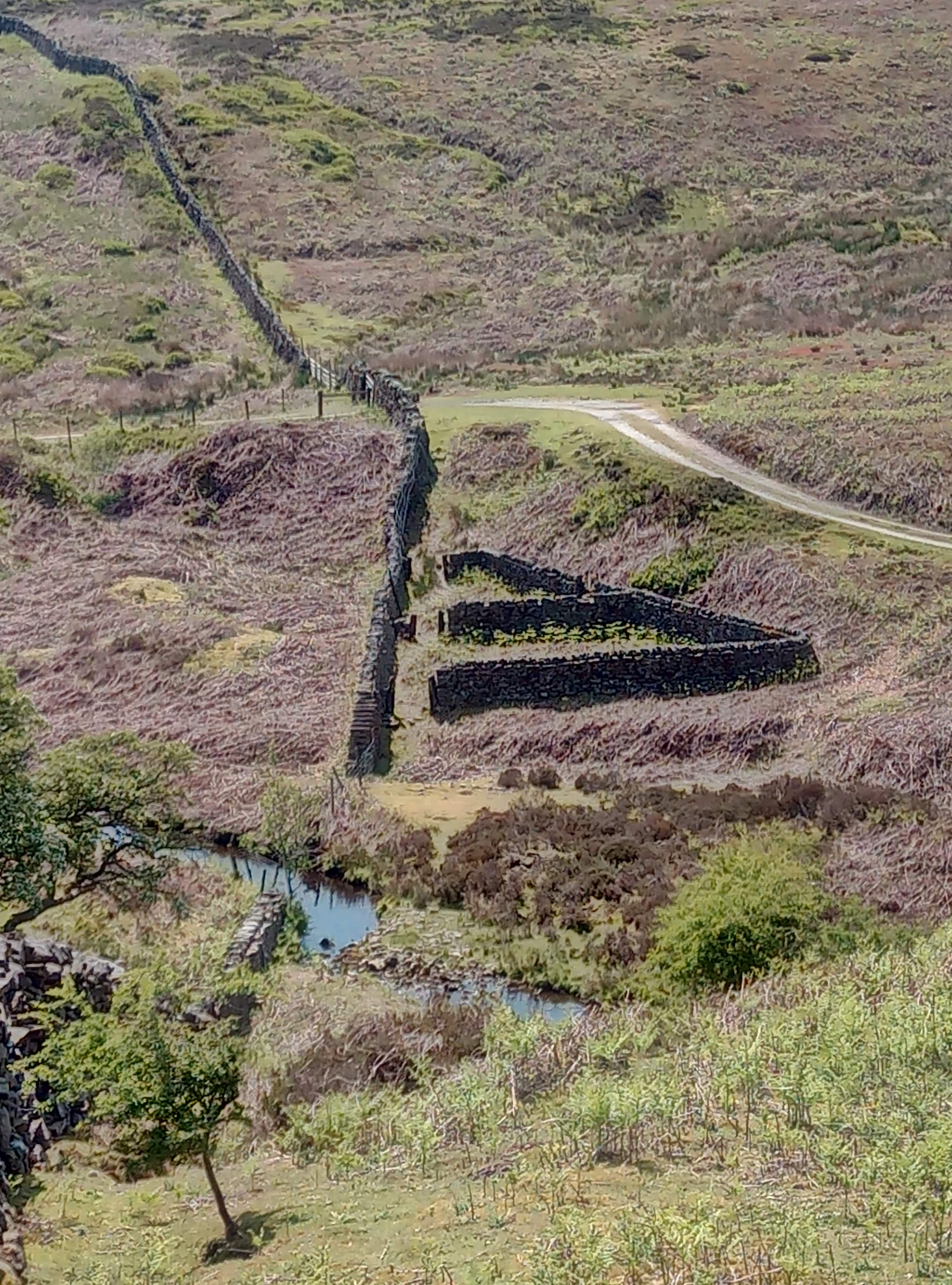
Just liked the shape of these walls
img_20180527_135558_1
These are posh grouse butts
img_20180527_143304_0
House on the res
img_20180527_144046_0
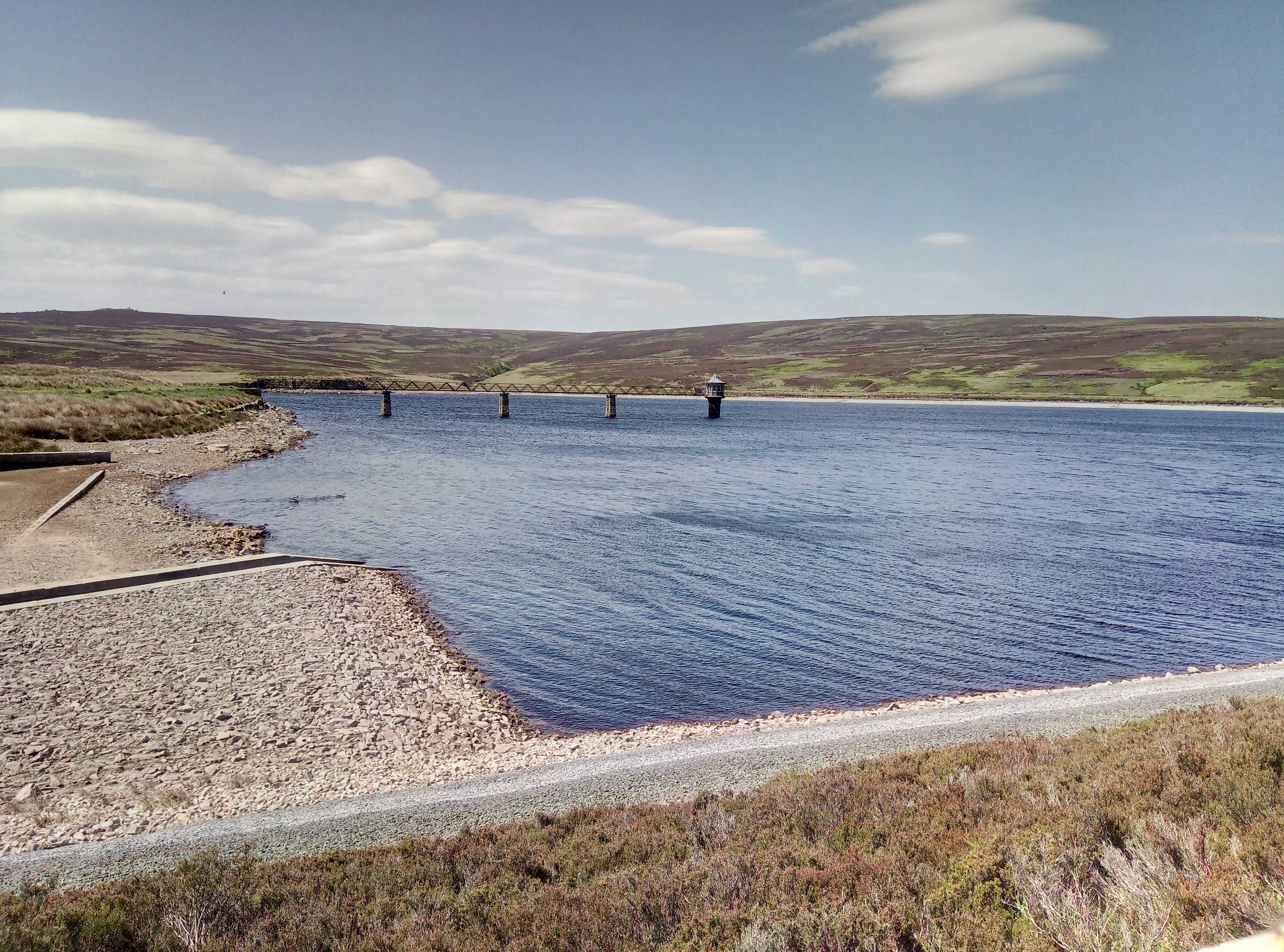
Barden upper reservoir

Link to Viewranger route

Please visit Map and Compass and learn how to interpret a map and use a compass with me and my navigation partner, Cath.

MAPandCOMPASS

Malham 19 May 2018

When Charles and Di got married in 1981 I was 23 and walked up what must have been my first mountain, Pen y Ghent, from Horton in Ribblesdale. Two things I remember about that day – my Greek American friend M, stayed back to watch the wedding on a portable TV brought up from Cardiff just for the wedding, and someone wanted a steak sandwich, which most days in 1981 would have been quite a challenge in the Yorkshire Dales but because of the wedding was amazingly an easy find. These were the days when avocado was a colour for bathroom fittings. We’d moved on from buying olive oil in a chemist but opening hours and food choices were nothing like today.

I drove up to Malham and parked near the tarn. I did a 15km circular walk avoiding the cove and all the busy places. At first there were quite a lot of people but I soon got away from them and had the place pretty much to myself.

Passed Victoria and Jubilee caves. Didn’t go in because I reckon the interesting bones of elephants, rhinoceroses and bears discovered by the Victorians are long gone (and so they are, see the link) and I don’t much like caves.

It was warm and sunny and great weather for walking.

Towards Malham Cove
Belted Galloways
Rye Loaf Hill, my rye loaf doesn’t quite look like this.

Jubilee Cave, I didn’t go in it
Pen-y-Ghent


Link to Viewranger route map

Please visit Map and Compass and learn how to interpret a map and use a compass with me and my navigation partner, Cath.

MAPandCOMPASS

css.php