Blog

Mid Wales 31 August – 7 September

Friday 31st August
Journey to Llanfechain was a bit mad because we decided to use the little roads but with the road map. We should have got the OS maps out!
Walked from Pentre where we are residing this week, out the back, up the hill, along a heavily nettled path past a derelict building that was too small to be a cottage. Then along a bit and back down the road. Very pretty and completely unspoilt along little lanes. Lovely.
Home to easy supper of Look What We Found chicken korma with rice.

[googlemaps https://maps.google.com/maps?f=q&source=s_q&hl=en&geocode=&q=Llanfechain,+United+Kingdom&aq=0&oq=+llanfechain&sll=54.45,-2.866667&sspn=0.071461,0.241356&t=p&ie=UTF8&hq=&hnear=Llanfechain,+Powys,+United+Kingdom&ll=52.774524,-3.210583&spn=0.015577,0.025749&z=14&iwloc=A&output=embed&w=300&h=300]

Saturday 1st September

Walked from Llangynog car park along road to east then up green lane through very old oak wood. One enormous oak had a circumference of 6 metres. We measured a piece of grass on my compass and did some sums. This is about 430 years old according to the Woodland Trust’s ready reckoner.
It was hot in the sun so we stopped for lunch by a stream and then walked a bit more along the u shaped valley. We retraced our steps but went back to the little road on the far side of the stream.
Having done my Hillfit exercises this morning, I now did some HIIT (High Intensity Interval Training) so ran 220 metres in 2 bursts. Can’t be too unfit as recovered very quickly.
Carol and smallish oak
Posing? Moi?!
 Saturday evening
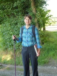
After delicious home made not Shepherds Pie because no potato masher, we stepped out for a night walk along the lanes near the house. We walked about 3 miles or so and saw no one and no cars. The moon came in and out as a day after full.
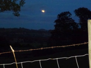
With flash
Without flash

[googlemaps https://maps.google.com/maps?f=q&source=s_q&hl=en&geocode=&q=Llangynog,+United+Kingdom&aq=0&oq=llangynog&sll=52.774516,-3.210543&sspn=0.018589,0.060339&t=p&ie=UTF8&hq=&hnear=Llangynog,+Powys,+United+Kingdom&ll=52.824083,-3.409452&spn=0.015559,0.025749&z=14&iwloc=A&output=embed&w=300&h=300]

Sunday 2nd September
Drove to Llandrillo to the Tyddyn Llan restaurant where I waited quite a while to see if Carol would recognise that we had been here before. We both had set lunch for £19.50. I had mozzarella with tomato huge portion, followed by chicken tarragon on a pancake with loads of veg.. There was roast spuds, peas with bacon, leeks in cheese sauce baked, steamed green beans and carrots and yummy courgette fritters. Carol had pork loin with all the veg. To be honest the food was good but a bit heavy on the grease levels for Michelin star and Good Food Guide. C then had biscuit glacé with raspberry sauce. This was a sort of nougat ice cream. We were both very stuffed then so came back for early evening walk.
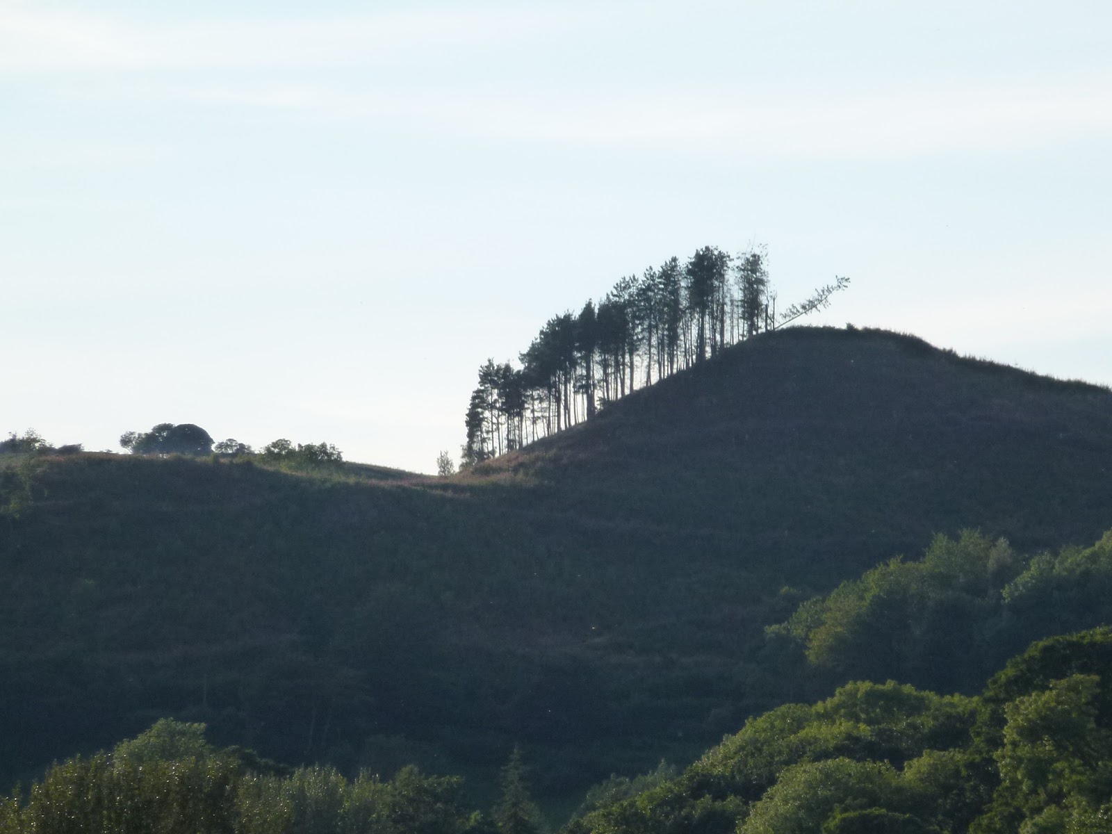
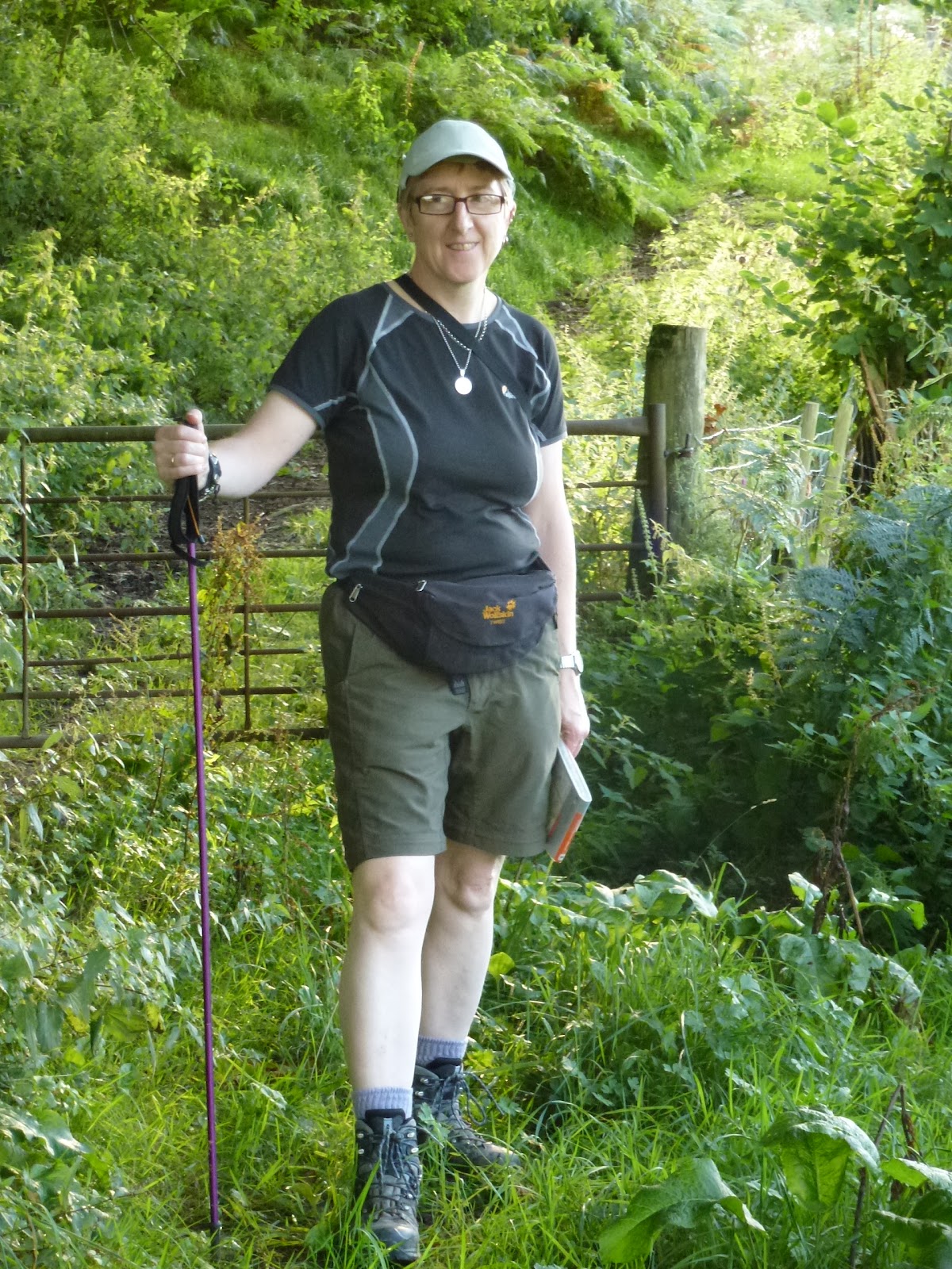
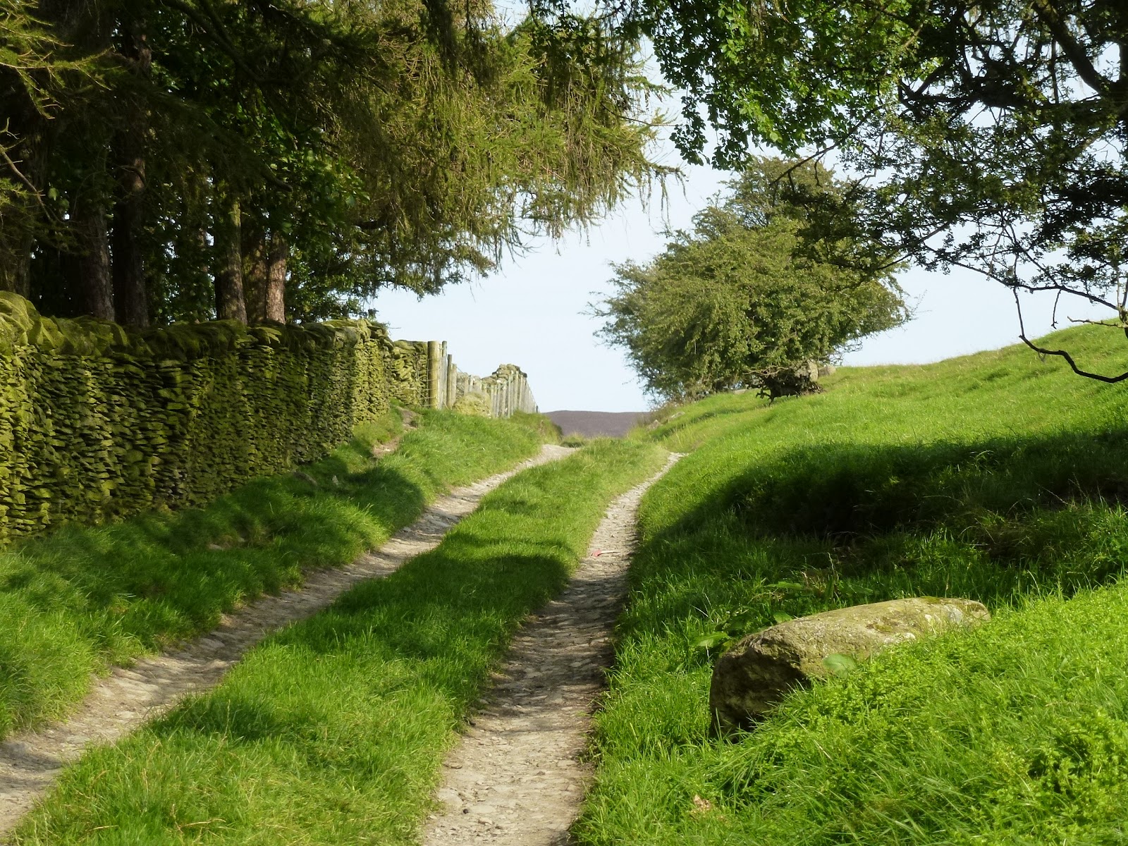
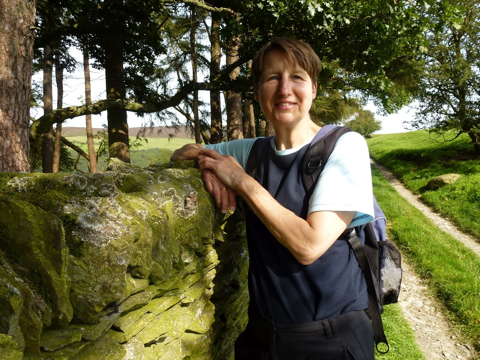
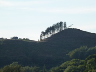
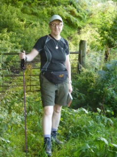
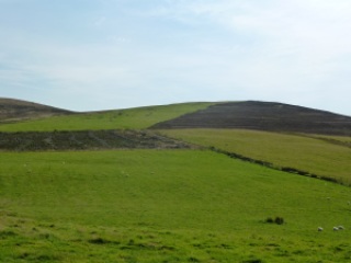
We walked from the cottage again but a different circuit mainly off roads but coming back using the little lanes. Again saw no one and no cars. It’s a great spot for quietness. Lovely weather too. My legs actually getting an airing!
Towards Llanfechain
Made me think of soldiers marching up hill
Proper walker
Not posing again
Just loved the green
Monday 3rd September
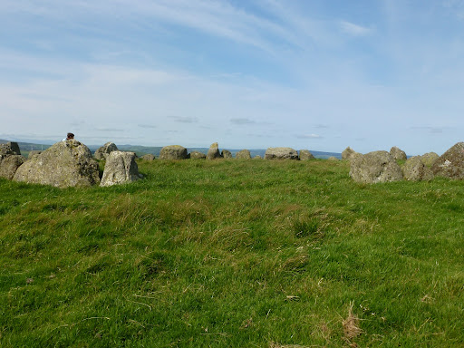
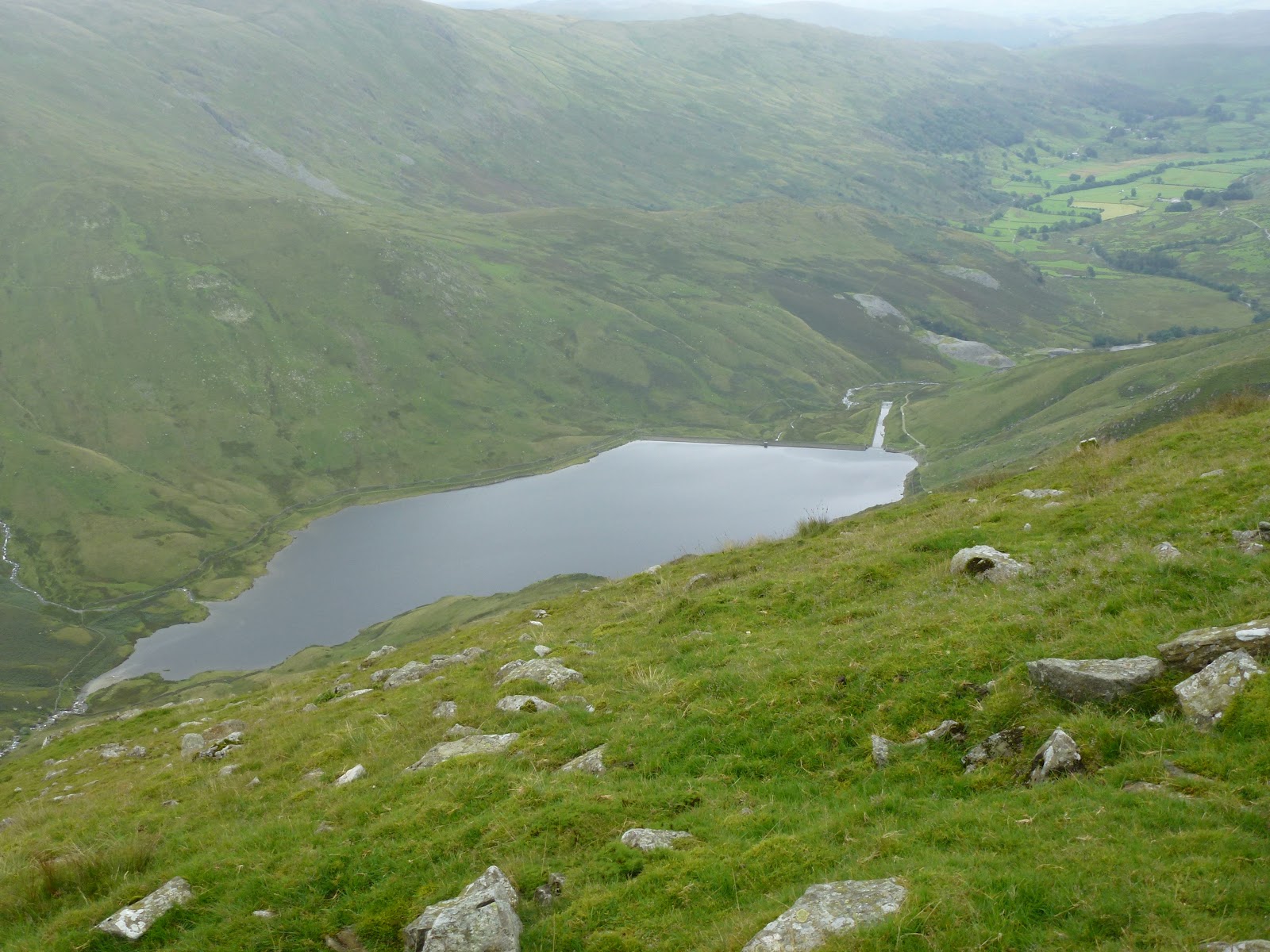
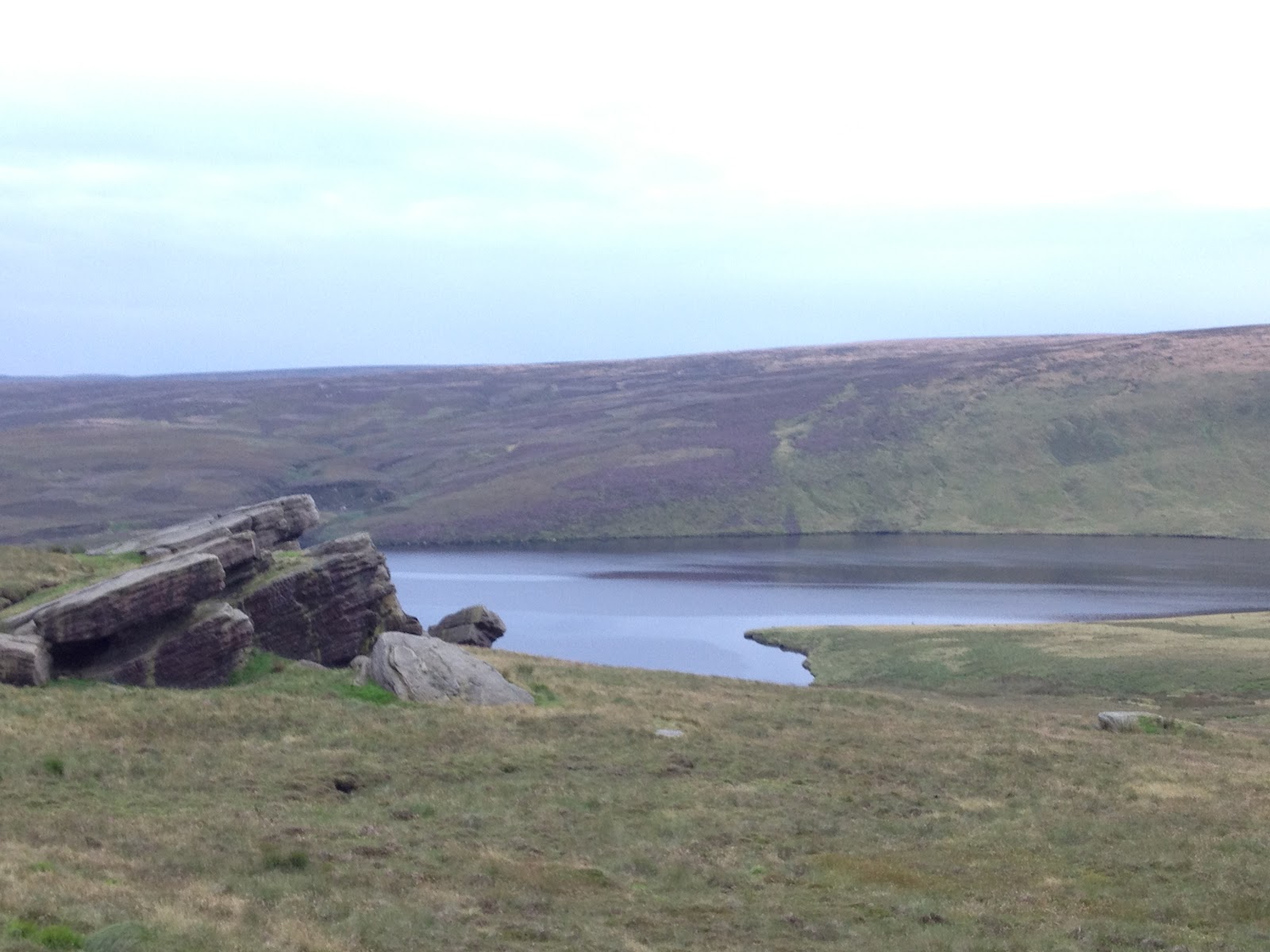
Back to Llandrillo to walk to the stone circle called Moel Ty Uchaf.  Very hot. Tremendous views from the circle where we lunched. Across to Arenig Fawr in the west and Aran Fawddwy in the south west.  Then back using a bit of a circuit to ring the changes. Only saw 2 men with motorbikes.
Nicky showed us round her house which is lovely. She is an ex model and was in famous Ossie Clark creation taken by Norman Parkinson, I recognised the picture. I cooked chicken and veg and pasta but it was a bit on the hot side.
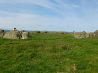
Moel Ty Uchaf stone circle
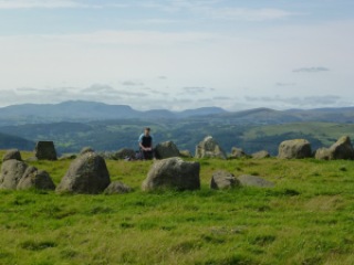
And with hills in background
I liked the contrast
Also here
Lane back to Llandrillo
Carol not posing
Me neither
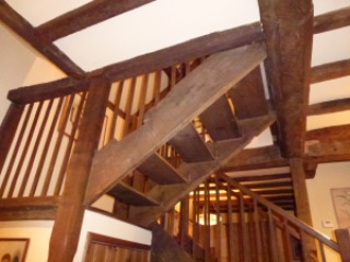
Inside of the cottage

[googlemaps https://maps.google.com/maps?f=q&source=s_q&hl=en&geocode=&q=Moel+T%C5%B7+Uchaf,+Llandrillo,+United+Kingdom&aq=0&oq=moel+ty&sll=52.824086,-3.409476&sspn=0.018567,0.060339&t=p&ie=UTF8&hq=&hnear=Moel+T%C5%B7+Uchaf&ll=52.923342,-3.405418&spn=0.015524,0.025749&z=14&iwloc=A&output=embed&w=300&h=300]

Tuesday 4th September
Mainly a day touring round in the car. Went to Welshpool and Llanidloes via Tregynon. Gregynog Hall is in Tregynon and brought back memories of a fairly raucous few days there back when I was at UWIST (University of Wales Institute of Science and Technology – UWIST now subsumed into Cardiff University when it was amalgamated with University College, Cardiff). Liked Llanidloes and had nice time in the bookshop. Travelled some more B and unclassified roads to get back to the cottage. Needed air after too long in the car so did another circuit of the lanes round here for about an hour. Carol had some leftover lamb hotpot. I am on a fasting day so had some broccoli.
Gregynog Hall, Tregynon
Llanidloes market hall
Please help me to identify this
Evening walk
Wednesday 5th September
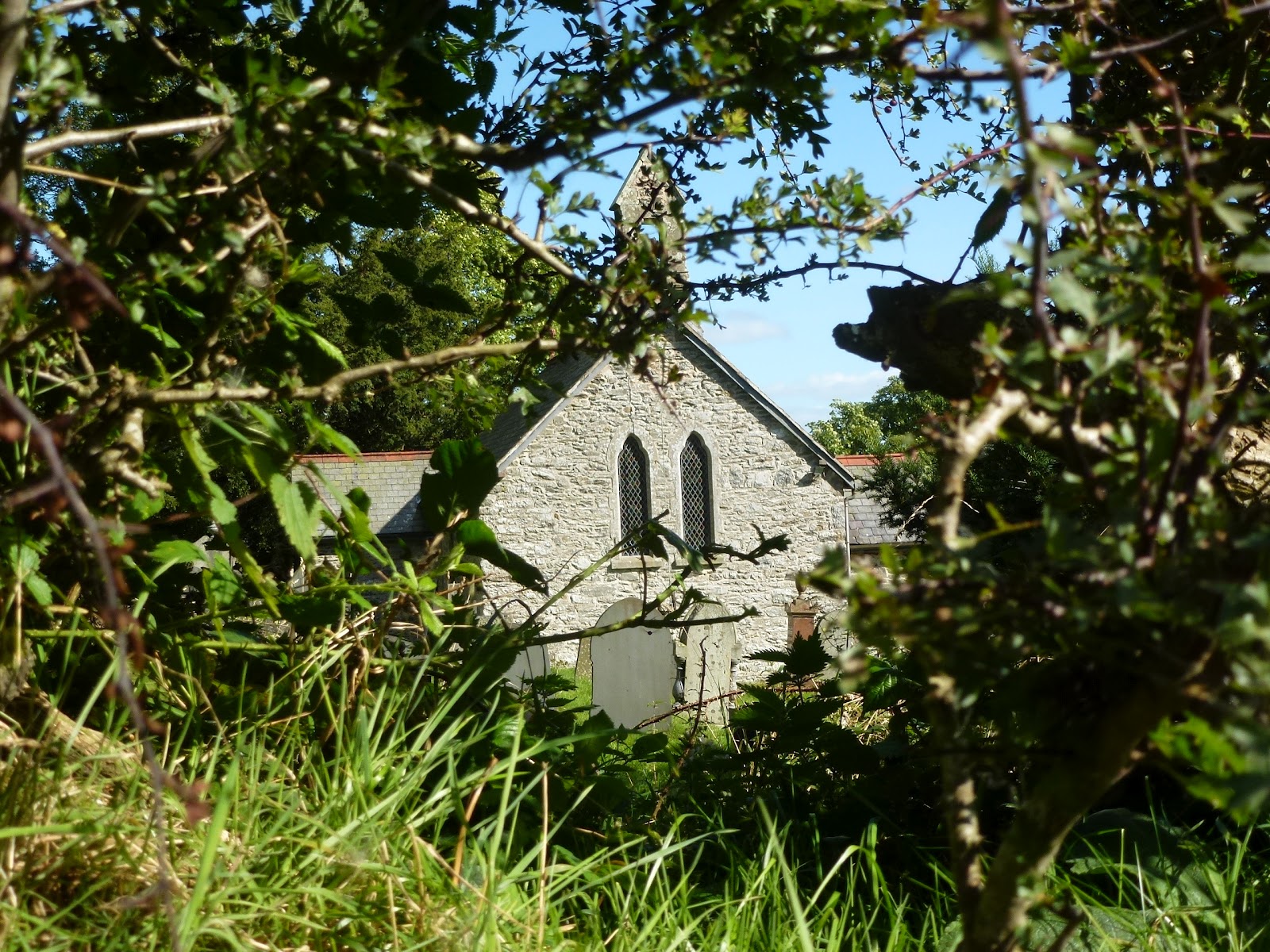
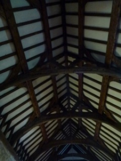
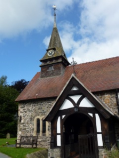
First we looked in Llanfechain and went round the church which is dedicated to St. Garmon. Then drove to Llanrhaedr-ym-Mochnant on lovely little lanes without seeing other cars.
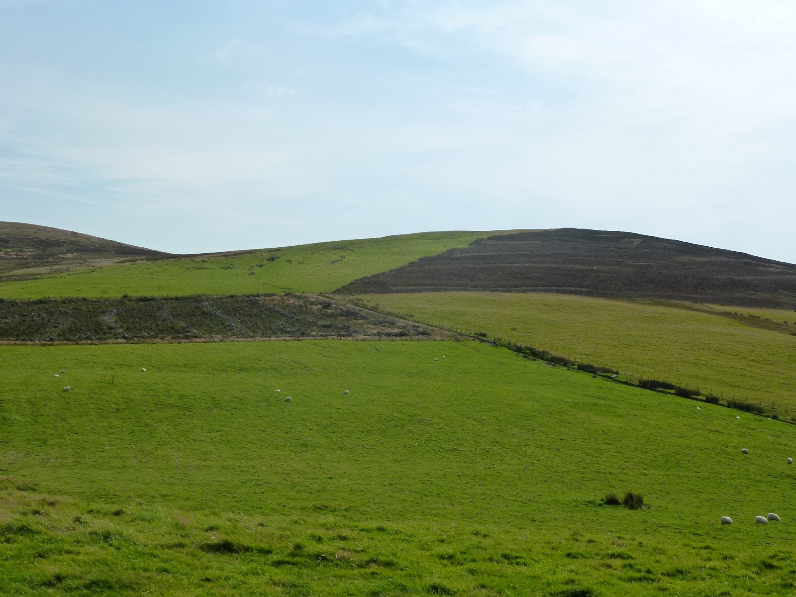
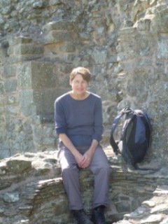
We were following a walk in Ron’s Rambles. It goes up on the road towards the waterfall and then up what is someone’s drive then into the woods. This comes out onto a field and it was ok until we needed to avoid some cattle. We did this but then reached a gate saying “No entry”. We could have gone back to a gate but instead decided to cross a barbed wire fence into a cow dung puddle. This got us more or less to the other side of the “No entry” gate. Then it was across a road, along some fields to the Afon Lwrch. We used a footbridge to cross and then up another field to a track along the side of Mynydd Mawr. We stopped for lunch and carried along the track which has great views to green valleys. Past what seemed a very remote house and up onto the side of the hill, Ron’s measurements were a bit on the generous side. We then tracked back along the hill at height which was very beautiful, coming to a tiny church tucked into the hillside. This is St. Garmon’s too. We chatted with a sweet old couple and tried to help them decipher a tomb stone but this was doubly challenging as in Welsh and very eroded.
Down the lane and then continuing with Ron, we took a path across a field of sheep but clambered into one full of bullocks. Big mistake. They were a bit too interested in us and we couldn’t get back to the gate so in a mega panic we not only got very muddy but ended up crossing a stream and another barbed wire fence to escape from the killer bullocks. We tracked down some fields, squeezed under an electric fence and arrived at the Afon Lwrch again but it was too big to cross so we got back over the barbed wire again, over the smaller stream and then up what felt and looked like a near vertical ascent of scrub, brambles and dead trees to reach the road. Then it was just a couple of kilometres to get back to the car.  It was a bit too adventurous and we both agreed we had made the wrong decision by going into the bullock field. Silly idiots!
Chicken and veg in white sauce bake with sliced spuds on top and more sprouting broccoli. Yum!
St. Garmon’s Llanfechain
How green was my valley
Not a good look
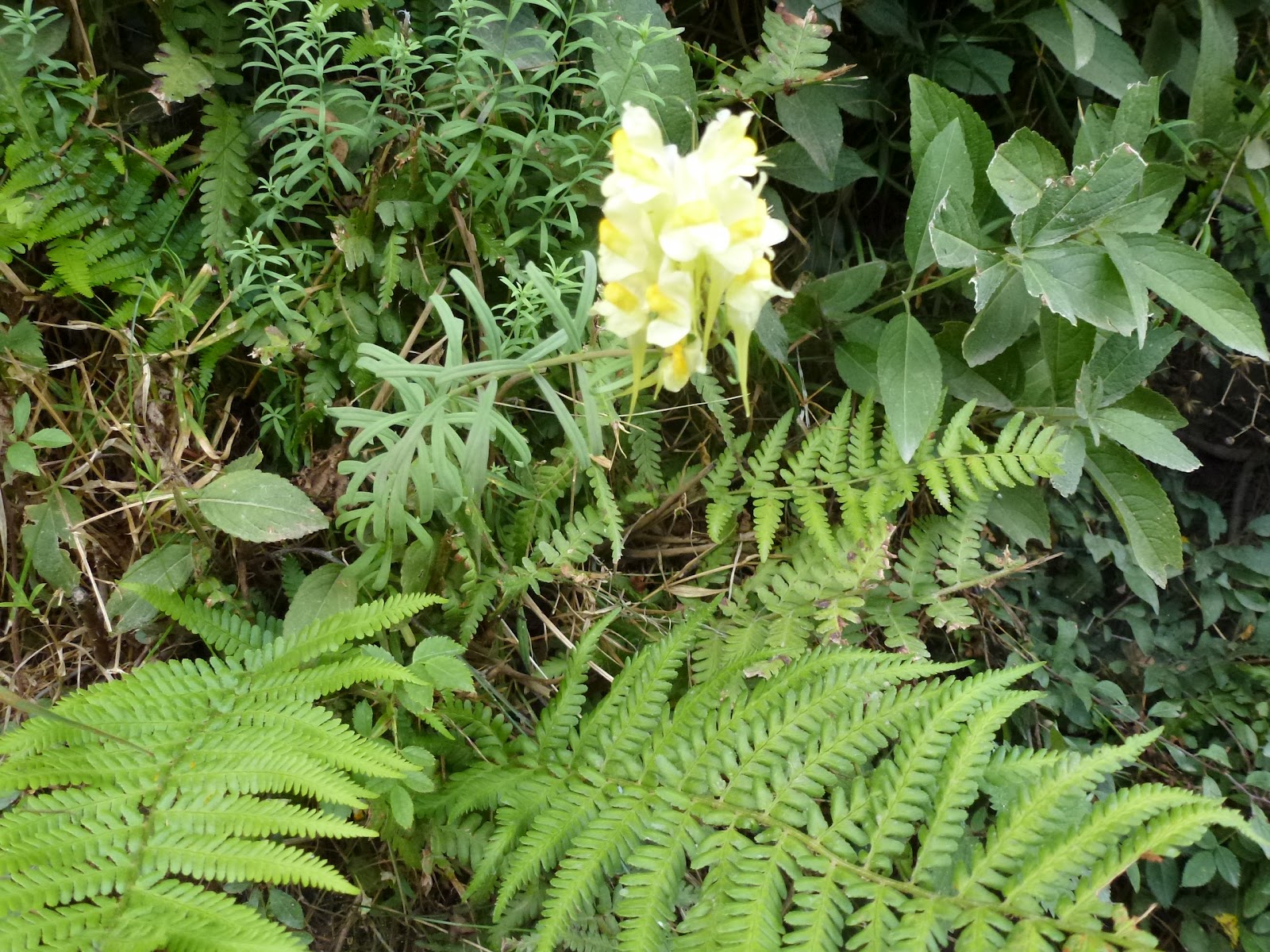
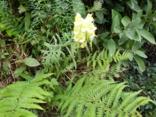
Any fungi people out there?
St. Garmon’s Plas-y-Newydd

[googlemaps https://maps.google.com/maps?f=q&source=s_q&hl=en&geocode=&q=Llanrhaeadr-ym-Mochnant,+United+Kingdom&aq=0&oq=Llanrhaedr-ym-Mochnant&sll=52.923347,-3.405447&sspn=0.018525,0.060339&t=p&ie=UTF8&hq=&hnear=Llanrhaeadr-ym-Mochnant,+Powys,+United+Kingdom&ll=52.826209,-3.302078&spn=0.062234,0.102997&z=12&iwloc=A&output=embed&w=300&h=300]

Thursday 6th September
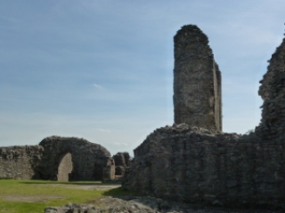
Went to Montgomery which I had been told was a town with lots of shops. It’s a very nice town but only actually has about 3 shops. I managed to buy a book and some veg. We walked up to the castle and ate our picnics in the ruins.
Then went on to Bishop’s Castle which had lots of shops by comparison. Here I managed to buy 2 books, some soap, and some cheese.
This all took a surprising amount of time so we headed back to do a bit of packing up before heading out to Seeds in Llanfyllin. This is a very nice little resto. I had Italian cold meats and mozzarella starter with figs, main of sautéed lambs’ kidneys in mustard sauce with beetroot, broad beans, carrots, spuds. C had chicken and black pudding in nice sauce. I had creme brûlée and C had treacle tart for pudding. All washed down with beer from Pontypridd. Chatted with some of the other customers who helped us with our Welsh pronunciation and we got the hostess warmed up by the time we left.
Montgomery Castle
Montgomery Castle
Montgomery Castle
Friday 7th September
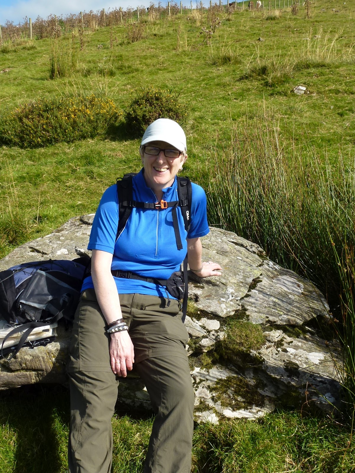
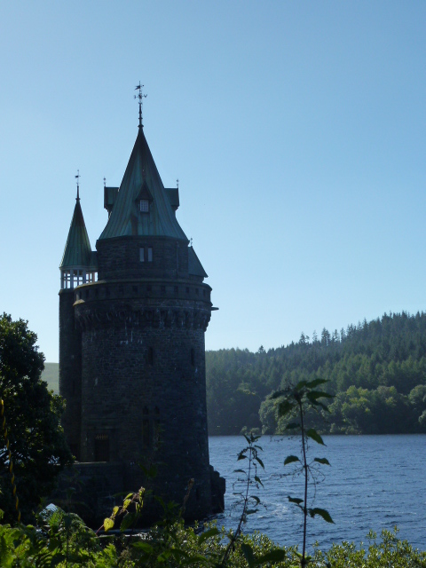
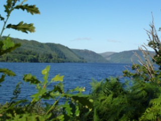
Came home via Lake Vyrnwy which is a Victorian reservoir with splendid big chunky made to last architecture. I was very taken with the Straining Tower. Then took a mountain road to Bala, stopping on the way to walk a few kilometres in the sun on Foresty tracks. We also had a brew by the road and sat by a babbling brook to drink.
Then stopped once more at Carrog for our lunch and then home.
A lovely week with the best weather of the year, no rain and lots of sun for a whole week in Wales!
The Straining Tower!
Lake Vyrnwy
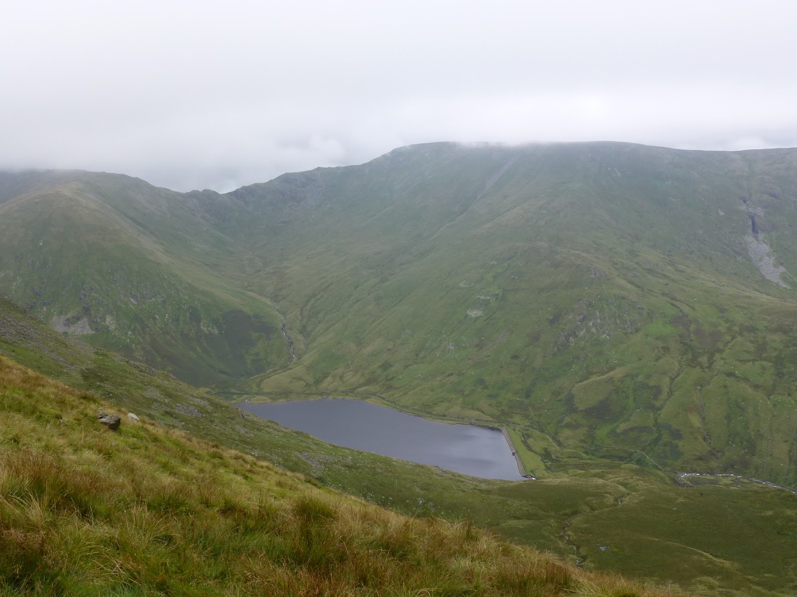
In the Aran mountains
Memo
Next time at this cottage bring wooden spoon and cheese grater. Spud masher and lemon squeezer optional.
Please visit Map and Compass and learn how to interpret a map with me and my navigation partner, Cath.


Yoke, Ill Bell and Froswick 26th August 2012

I set off early and reached Green Quarter just after 9 a.m. It took a little while to park as there is very little parking in Kentmere and Green Quarter but I managed to tuck it in on a very quiet road. The forecast had said “slight chance of rain” which was why I’d picked today to whizz up some hills.
I walked down to Kentmere church and to the end of the road and then got onto Garburn Pass. This is a mountain road that goes across to Troutbeck. It rises gently for a couple of kilometres and then I headed off north on a good path across some boggy terrain. It was quite warm and a bit muggy. This path also rose gently although when I came back down it seemed much steeper so I can only conclude that I wasn’t really feeling the climb. I got all the way up to Yoke and had a short break there. The weather started to close in a bit and there was a lot of low cloud around. Then onto Ill Bell through the gloom. Ill Bell (no sickness, no bells) has 3 cairns which were reminiscent of the Nine Standards in construction.
From Ill Bell you have to drop down quite a bit and then go up again to reach Froswick, Wainwright didn’t seem to think you would go there unless you were going somewhere else but I didn’t really want to keep going as had already been to the hills you can reach easily from there, also my route was not a circuit. So I had my lunch and looked across to Thornthwaite Beacon, High Street, Mardale Ill Bell and Harter Fell.
I turned back and retraced my steps. There was a shower on Ill Bell and a much bigger one as I got back to the Garburn Pass, my head felt like it was being massaged under the hood of my coat!
The Garburn Pass had got a lot wetter and what with my thin summer socks, gave my feet a terrible pummeling. I got back to Green Quarter at last, actually much more quickly than I’d thought, and had a delicious slice of my own home made shortbread!
Feels like my exercise regime and losing a few pounds has been worth the effort. Home before 6 p.m. And 3 more Wainwrights bagged!

Cairns on Ill Bell
Ill Bell
Lake Windybum
Kentmere Reservoir, Harter Fell above
I like these cairns
All three on Ill Bell
Kentmere Reservoir looking south
Flew over my head

[googlemaps https://maps.google.com/maps?f=q&source=s_q&hl=en&geocode=&q=Ill+Bell,+Kentmere,+South+Lakeland+District,+United+Kingdom&aq=1&oq=Ill+Bell&sll=53.7924,-2.105684&sspn=0.018151,0.060339&t=p&ie=UTF8&hq=&hnear=Bell,+Illinois&ll=54.449981,-2.866745&spn=0.029942,0.051498&z=13&iwloc=A&output=embed&w=300&h=300]

Please visit Map and Compass and learn how to interpret a map with me and my navigation partner, Cath.

Widdop August 24th

Nice early evening walk in Widdop with Anita passing several reservoirs and looking at some slightly different navigation tricks.
We stayed out until it started raining and then headed back as it got dark. We didn’t have to use our lights as despite the low cloud, it was still easy to see because we’d got accustomed to the light changing as we walked.
Managed not to get too badly bitten by midges. Anita came up with really useful piece of advice to prevent being eaten alive which is to eat marmite or take a Vitamin B pill if you don’t like it, before encountering the evil beasties.

Widdop reservoir
Gorple reservoir

[googlemaps https://maps.google.com/maps?f=q&source=s_q&hl=en&geocode=&q=Widdop+Reservoir,+Calderdale+District,+United+Kingdom&aq=1&oq=Widdop+re&sll=53.632733,-1.945001&sspn=0.01822,0.060339&t=p&ie=UTF8&hq=&hnear=Widdop+Reservoir&ll=53.792387,-2.105684&spn=0.01521,0.025749&z=14&iwloc=A&output=embed&w=300&h=300]

Please visit Map and Compass and learn how to interpret a map with me and my navigation partner, Cath.

Marsden by bike

Chris and I set off from my house along Cycle Route 68, an unsatisfying number as it is neither 66 nor 69. We went through Krumlin and then down the very steep slope to the motorway tunnel. This is a tunnel under the motorway and it’s a bit dark but nothing like the one on the disused railway line that goes between Bath and Bristol and which was so long and dark it was scary. Chris tells me this is now properly lit and surfaced.

Along the edge of Scammonden dam and then up onto a road which took us to Deanhead reservoir. We’d planned to go along the side of this and then up onto the road but as it turned out it was a construction site with no entry so we backtracked and instead took a footpath to get onto the road. This footpath had not seen a lot of feet and was very steep and overgrown and was hard work negotiating bits of bog.

Finally we got to the road which we went along a short distance, helped by noticing that we could just have got to where we were by taking the road anyway! and then off along a great path, the Kirklees Way, which was only great as far as Cupwith Reservoir, all of 500m, and then became a very wet boggy and stony path with big ruts. We spent a lot of time off the bikes but at least it was all downhill.

We got to Marsden eventually, and refreshed ourselves with ice creams, mine a honeycomb one which just had one huge piece of honeycomb crunch in it. Chris had a rum and raisin and a Malteser one!

Then it was back along the canal to Sparth reservoir and Chris quickly got in and had a swim round. Then back on the bikes for the big hills home. Somehow there seemed to be an awful lot more hill to negotiate on the return than we had noticed on the way. We took a different route keeping to very quiet roads but it was hard hard work and a lot of bike pushing. Some of the places we went through were very pretty and just a few miles from home. We picked up route 68 again at Wilberlee and then it was pretty much down all the way home. We needed that freewheeling reward! 5 hours of very sweaty work but really great too!!

Looking back to Scammonden
Bathing Belle

Chris swimming to the steps at Sparth

Helmet hair
Nearly home
OMG!

[googlemaps https://maps.google.com/maps?f=q&source=s_q&hl=en&geocode=&q=Deanhead+Reservoir,+Metropolitan+Borough+of+Kirklees,+United+Kingdom&aq=3&oq=Deanhead+&sll=53.798766,-2.051529&sspn=0.018148,0.060339&t=p&ie=UTF8&hq=&hnear=Deanhead+Reservoir&ll=53.63273,-1.945009&spn=0.015268,0.025749&z=14&iwloc=A&output=embed&w=300&h=300]

Please visit Map and Compass and learn how to interpret a map with me and my navigation partner, Cath.

Fitness and exercise

Fitness and exercise

I stopped going to the gym some time back as I had got bored and decided to take up cycling instead. I’ve managed to do this reasonably well although I have been put off when it’s been doing torrential flood producing rain.
I aim to go out for at least half an hour 3 times a week and to do this as soon as I get home from work.
A few months ago I also watched Michael Mosley on Horizon talking about his desire to get fit and what was the optimum way to do this with the least amount of effort.
His regime of 3 bursts of 1 minute exercise 3 times a week was shown to make significant changes to various measures. I haven’t taken up this idea other than to run up the stairs at work sometimes (3 flights from my floor to the top).
I’m also reading Hillfit by Chris Highcock (another splendid name). Chris’ regime is to increase strength by gradually increasing resistance exercises. He encourages working the muscles to failure.
So I’ll see how it all goes, I  definitely prefer riding the bike as it’s outdoors in the fresh air and lovely countryside around us. It helps that it’s easy to put the bike in the car so that I  can avoid the huge hills on which we sit!

Please visit Map and Compass and learn how to interpret a map with me and my navigation partner, Cath.

css.php