Blog

Diet, fasting

Diet and fasting

About 2 weeks ago I decided that I couldn’t continue just eating anything and everything and being very greedy and that I needed to get some control or else I would just expand to Michelin man proportions.
I was also given the sight of my cousin who has lost loads of weight and is now training for a marathon by doing lots of running. She looks fit and is eating healthily. She is in her 20s but this was a bit of a catalyst for me. Or just envy!
So I went back to calorie counting and portion control but this time with a difference. Instead of allowing myself to eat bread and pies and cakes and chocolate because the calories only added up to x, I would eat much more healthily and in fact cut out all those things except for a square of chocolate and a 100 cal energy bar if I wanted them.
This strategy has been working well and I’ve lost a few pounds and am enjoying eating nice tasty food more slowly and not needing to stuff myself of an evening.
Then on Monday I watched Michael Mosley on Horizon and the research seems to stack up in favour of incorporating fasting into one’s lifestyle. MM looked into ways to do this and go to work full time and came up with 5 days of normal eating and 2 days of fasting (limited) on work days.
MM’s reason for wanting to do this is because he doesn’t want to die young like his father did and he wants to be alive for his family and reduce the possibility of diabetes, cancer, heart disease and stroke. In particular he mentioned getting rid of abdominal fat which is a factor for most of those.
Summary of Horizon programme.
Yesterday I tried my first fasting day. I had breakfast of muesli and yoghurt and lunch of soup followed by a fruit yoghurt with fruit juice and later an apple. And apart from a half pint of beer that was it for the day.
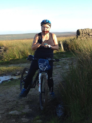
Chris and I have also did a bike ride which involved a lot of up especially on the last bit after the pub. Whose idea was that? Enormous hill down to the Hinchliffe! But we probably sweated the beer off!

Please visit Map and Compass and learn how to interpret a map with me and my navigation partner, Cath.

Chris doing Martian look
Last big hill to do
Stoodley Pike
Last dregs of sun at Blackstone Edge reservoir

Please visit Map and Compass and learn how to interpret a map with me and my navigation partner, Cath.

Night and Day at Walshaw Dean 4th and 5th August 2012

Saturday
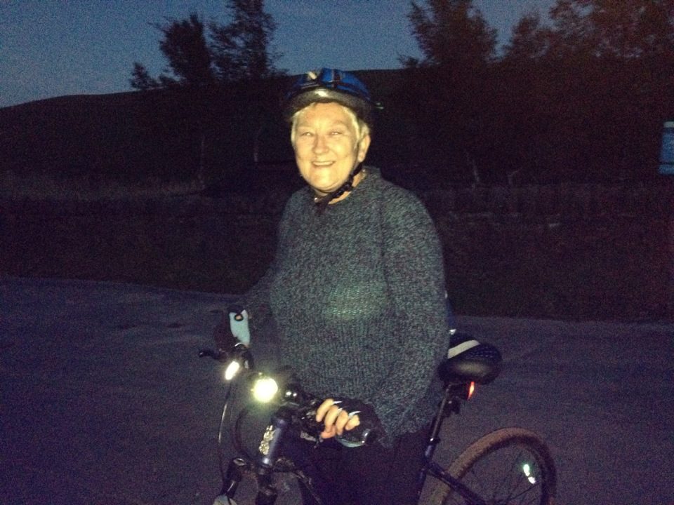
By the time we arrived at Widdop it was nearly dark. To start Carol off on night walking we used a tarmac path in order to gain confidence from the car park to the top of the first of the three Walshaw Dean reservoirs. It was mild and the sheep were just going to bed.
The forecast for the weekend had been for thunder, torrential rain and hail which is why we ended up doing a night walk instead of camping. As it turned out Saturday was pretty good all day and none of the horrors appeared.
It was cloudy but the moon still gave a lot of light and this then shone off the water, so all in all it was very easy to see and we didn’t need to use our headlamps.
The moon had been full so was doing waning gibbous but rose where I expected it to so we did a bit of natural navigation.
A short but quite exciting walk. And we saw 2 owls on the way up to Widdop.
This makes me thinks of etchings
Moon reflected in the reservoir

Sunday

I decided to return to Widdop by day to prospect for possible camping spots. I didn’t really find anywhere that would fit the bill but had a nice walk and went off in a different direction from my usual trips to Walshaw Dean.
I got down to the fabulously named Pisser Rough accompanied by rumbles of thunder and was just looking at the bridge across the weir when it started to rain heavily so I abandoned that idea as it meant working a way on not very clear paths along the steep sides of the clough. I probably would have done it if someone else had been there but didn’t want to take a chance of falling into the beck and getting wet and stuck.
Instead I more or less retraced my steps. This was quite a bleak walk and I only saw a few people at quite a distance when I got off the main track.
On the way back, the torrential rain came on and was really awful in Hebden and it was easy to see how easily it gets flooded there as it looked like it was about to happen again.
We saw later on that Bradford had a big dump of hail several inches deep in places, so the weather did all turn up but a day later than forecast.
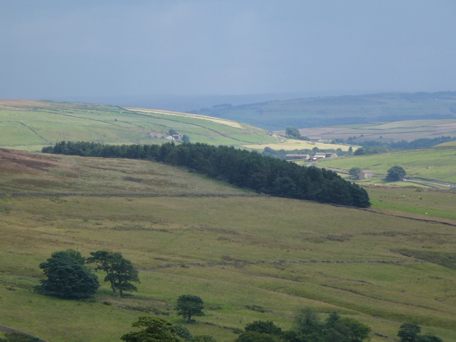
Before the thunder
I want to say this is ectoplasm but it isn’t
Steam rising

[googlemaps https://maps.google.com/maps?f=q&source=s_q&hl=en&geocode=&q=Walshaw+Dean+Middle+Reservoir,+Wadsworth,+Calderdale+District,+United+Kingdom&aq=0&oq=walshaw+dean&sll=53.66049,-2.04408&sspn=0.018208,0.060339&t=p&ie=UTF8&hq=&hnear=Walshaw+Dean+Middle+Reservoir&ll=53.798775,-2.051525&spn=0.015208,0.025749&z=14&iwloc=A&output=embed&w=300&h=300]

Please visit Map and Compass and learn how to interpret a map with me and my navigation partner, Cath.
Blackstone Edge 29th July 2012

After waiting some time for the torrential rain to stop, including eating our lunches indoors, Babs and I parked near the bottom of the big hill that goes up to Blackstone Edge.
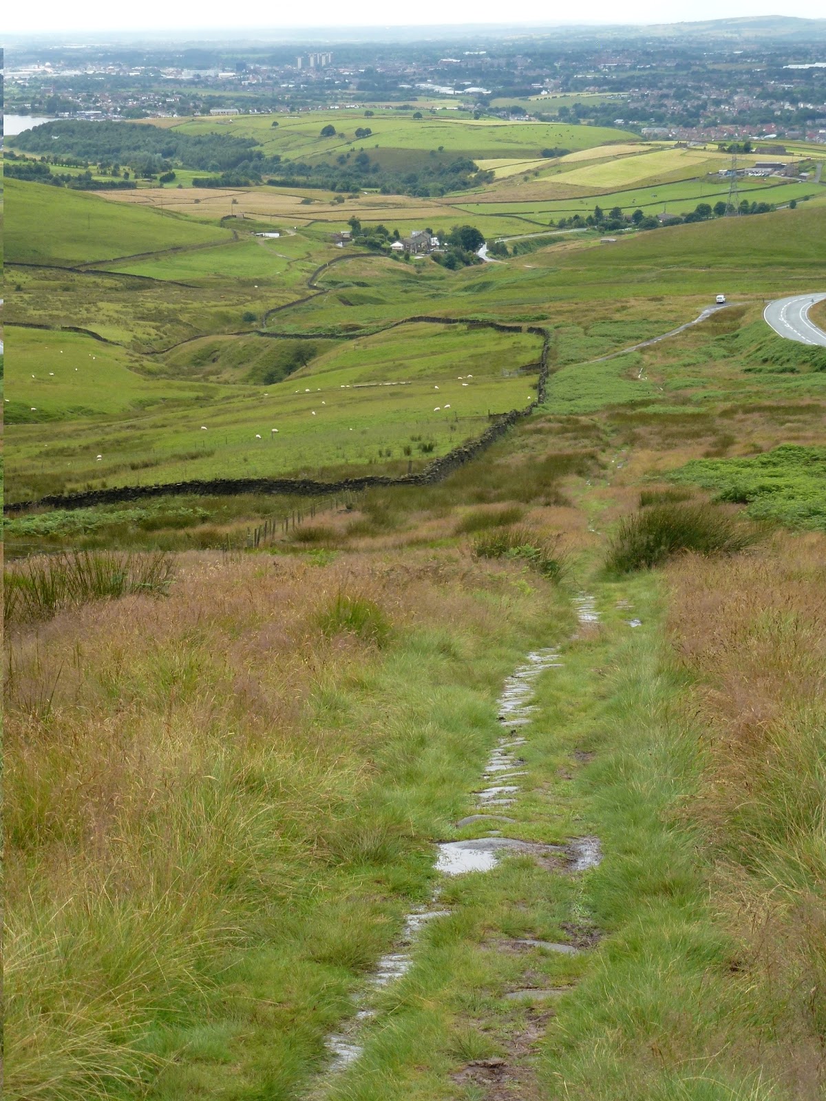
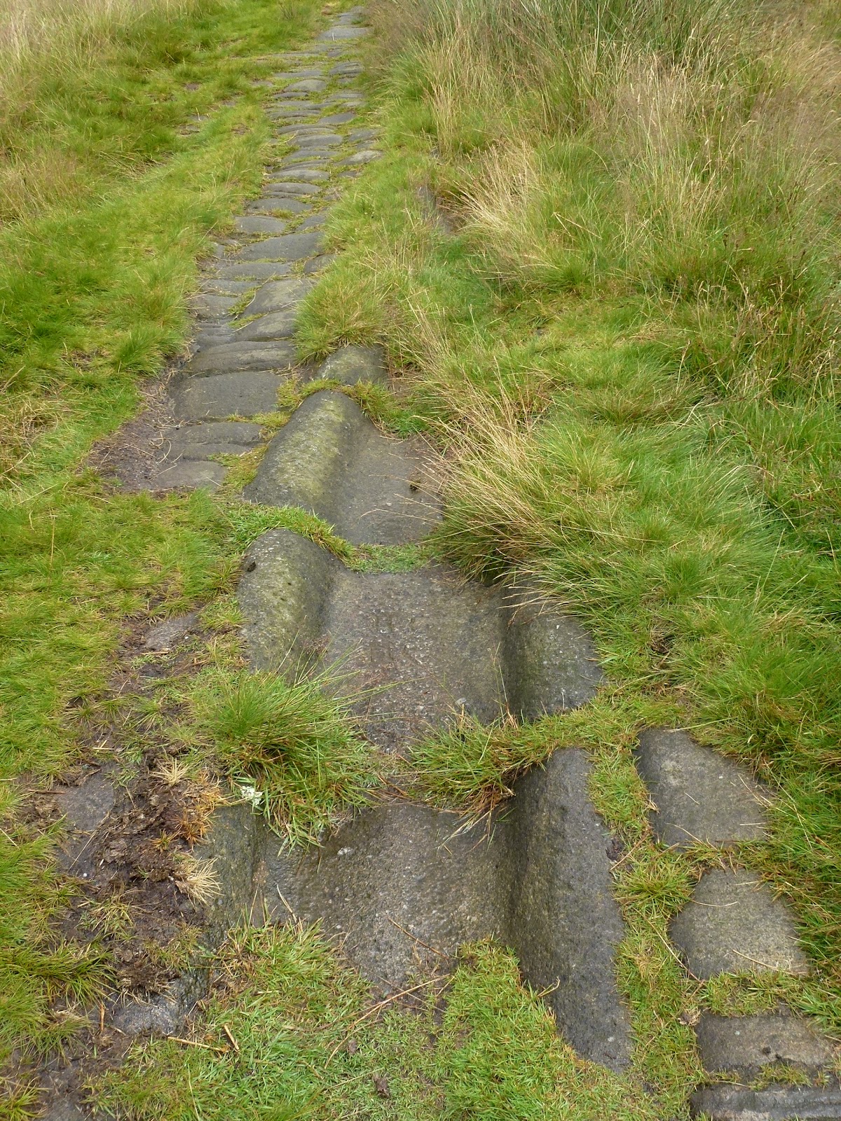
We set off up the hill along a good path, the main feature of which is the Roman Road. There is a lot of controversy as to whether it is a Roman Road or not. It certainly says it is on the map. The path leads up to the Aiggin Stone which was a marker stone for ye ancient travellers and this definitely has been dated to be 600 years old.
We headed back down a bit and then cut across under Robin Hood’s Bed (but not his breakfast) and circled round to meet the Pennine Bridleway and back to the car.
We had a lovely 4 mile walk and it didn’t rain on us, which considering the forecast had been for very wet all day long was a real plus. The sun actually appeared and made us warm at the end.

Roman Road
Roman channel
The Aiggin Stone
Me and Aiggin Stone
Babs, glam companion!

[googlemaps https://maps.google.com/maps?f=q&source=s_q&hl=en&geocode=&q=Blackstone+Edge+Reservoir&aq=0&oq=black&sll=52.104833,-2.338944&sspn=0.018873,0.060339&t=p&ie=UTF8&hq=&hnear=Blackstone+Edge+Reservoir&ll=53.660509,-2.044058&spn=0.015258,0.025749&z=14&iwloc=A&output=embed&w=300&h=300]

Please visit Map and Compass and learn how to interpret a map with me and my navigation partner, Cath.
Malvern Hills 21st July 2012

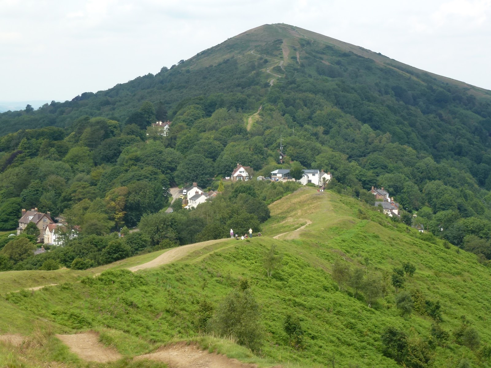
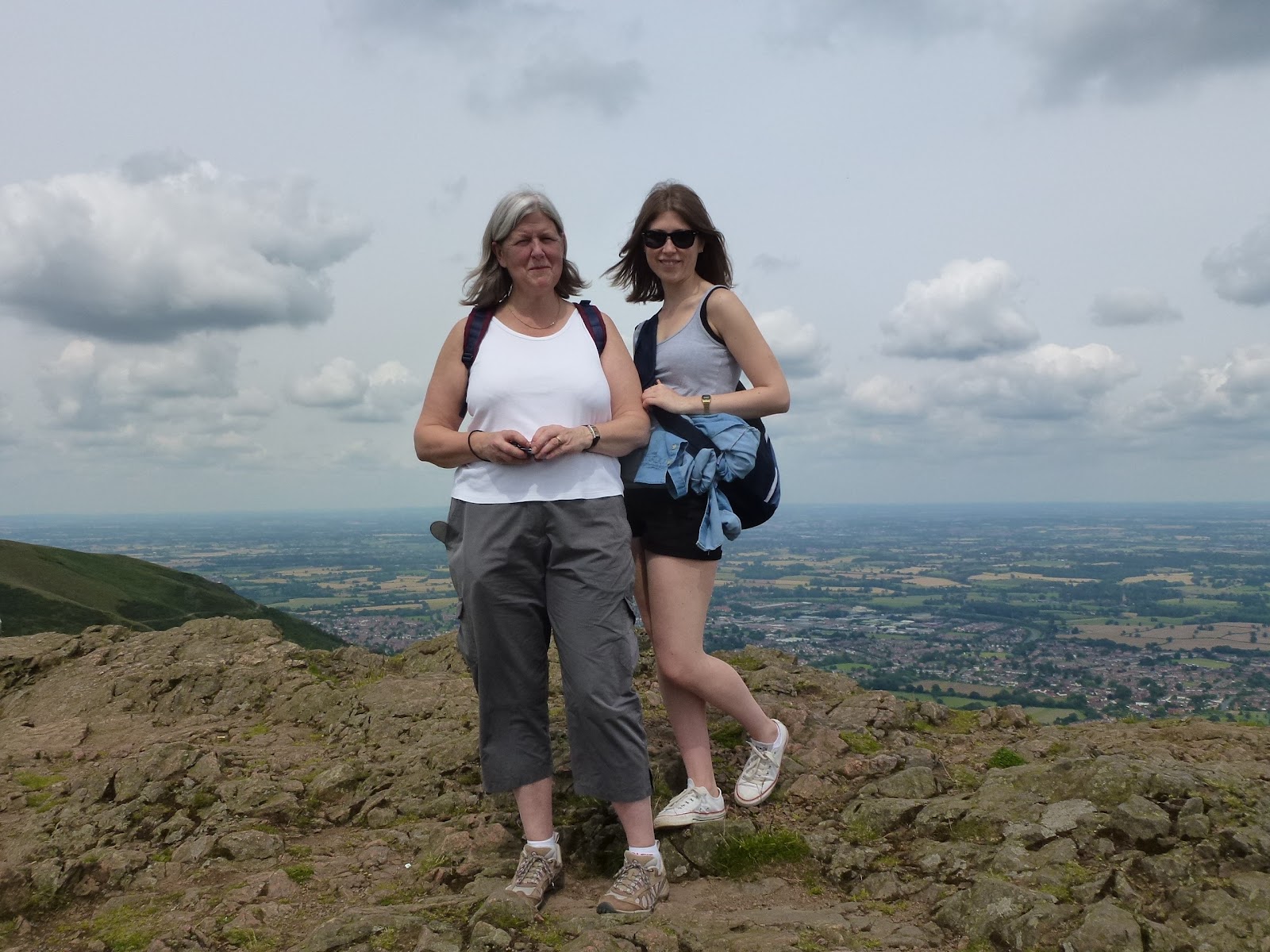
Sophy, Mills and I parked at British Camp car park. This is not a tent fest full of Union Jacks but an Iron Age hill fort and also known as Herefordshire Beacon. We set off northwards to go alongside the Shire Ditch to Worcestershire Beacon.
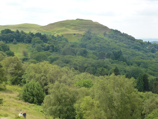
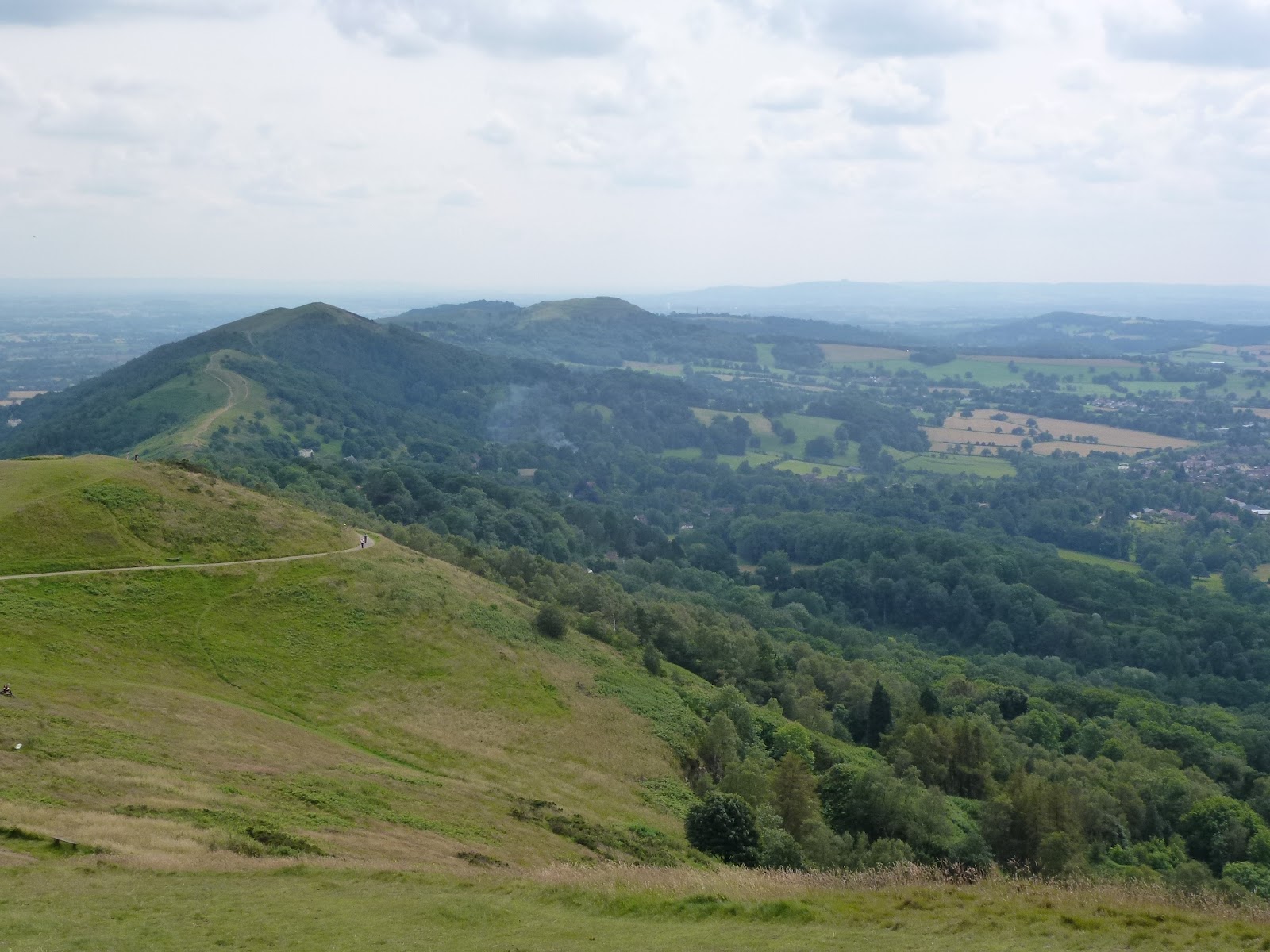
We had very good weather, not too hot but sunny and fresh wind at times. The walk undulates to Black Hill, Pinnacle Hill, Jubilee Hill and Perseverance Hill. We lunched near Jubille Hill on delicious goodies from the deli in Ledbury plus tomatoes, carrots and crisps. Mine was a beetroot, feta and walnut tartlet. Yum! I also had a strudel, yum yum!
The route then drops down to Upper Wyche which has loos and a very large bus shelter. We crossed the road and headed back up to Summer Hill and then the Worcestershire Beacon which is at 425m. Some good views despite being a little hazy across to the Welsh mountains.
6 hills had by then taken a toll on the 2 older members of the party so we tracked back contouring round alongside the road. This was a nice cool path. We stopped for tea at The Kettle Sings where we had teas and lemonade and shared a shortcake.
Back to the car having done about 9km including multiple ascents and descents.
Thank you, dear cousins, for a lovely day.

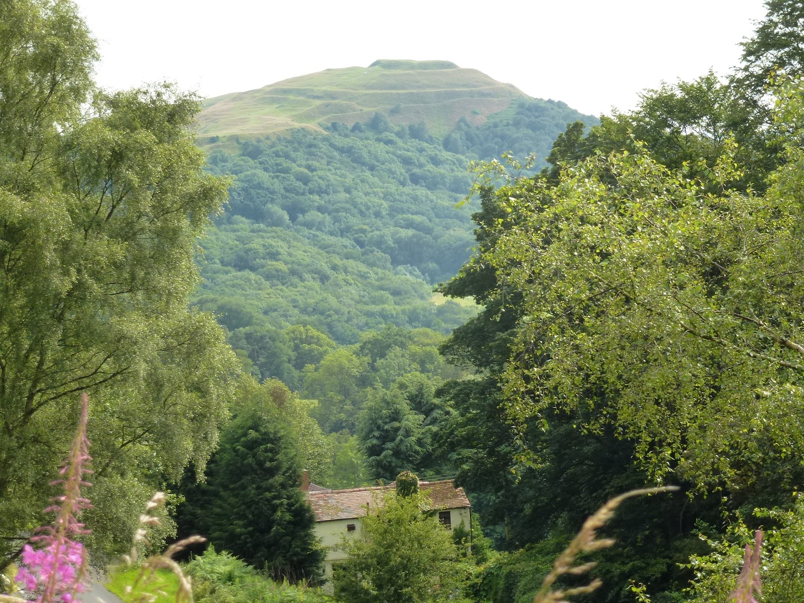
British Camp on the way out
The path ahead
Upper Wyche
Sophy and Mills in the clouds on top of Worcestershire Beacon
The way we came
British Camp on return leg

[googlemaps https://maps.google.com/maps?f=q&source=s_q&hl=en&geocode=&q=Worcestershire+Beacon,+West+Malvern,+Malvern+Hills+District,+United+Kingdom&aq=0&oq=worcestershire+beacon&sll=52.056882,-2.34503&sspn=0.018894,0.060339&t=p&ie=UTF8&hq=&hnear=Worcestershire+Beacon&ll=52.104818,-2.338972&spn=0.015816,0.025749&z=14&iwloc=A&output=embed&w=300&h=300]

Please visit Map and Compass and learn how to interpret a map with me and my navigation partner, Cath.
Springsteen in Manchester June 2012

Carol, Chris and I left our house in a torrential downpour at 4pm. The rain was so heavy I got drenched just getting across the road to get into the car.
Despite all warnings about huge queues and difficulties parking we got to the Etihad Stadium in darkest East Manchester quite quickly. It was very very wet indeed going along the M62 but getting to the car park was an absolute breeze. We parked up and then had a gourmet picnic in the car. This was a great way to start the evening. We had cold meats, cheeses and salads plus some nice juice and chilled white wine.
At about 6.15, we left the car and it actually wasn’t raining so much. I took a rucksack with drinks (normally forbidden) and extra clothes. In the short walk across to the stadium it was my feet that got completely soaked, as my boots let in every drop. They dried out quickly but at one point I thought I was going to be uncomfortable all evening.
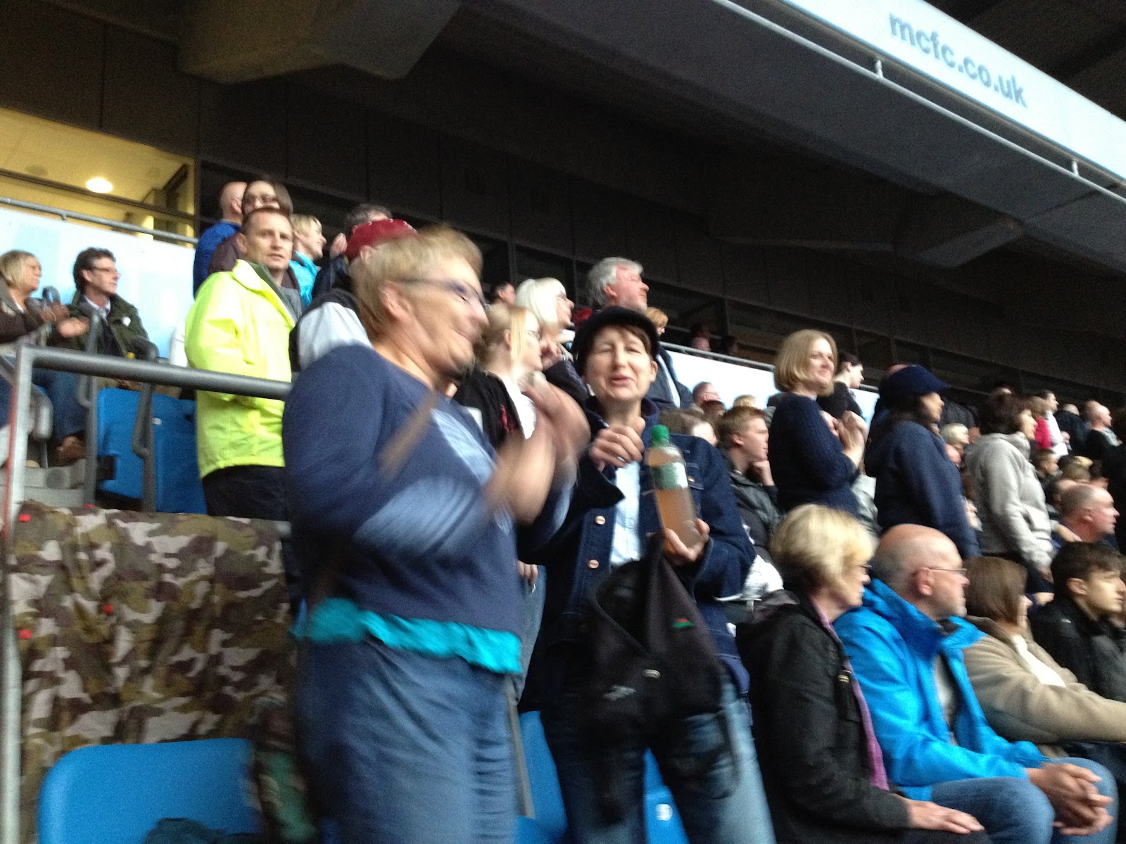
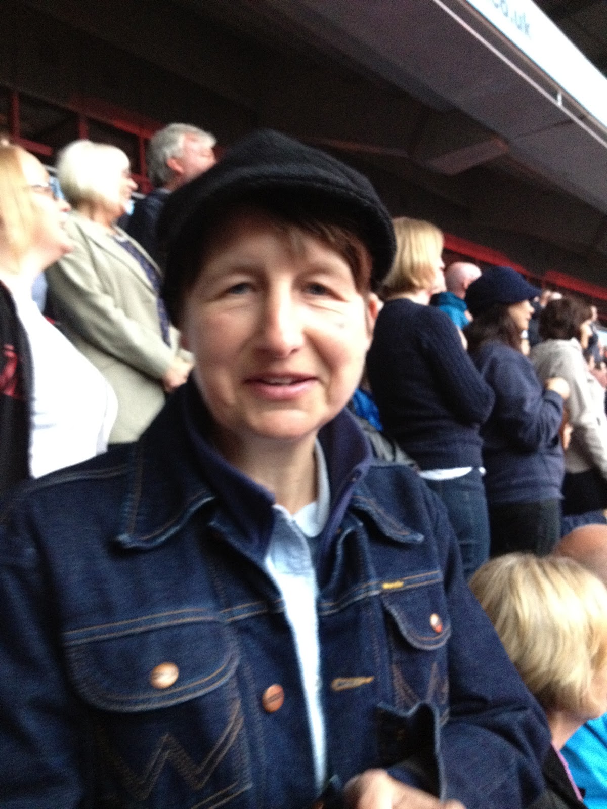
Getting to our seats was really easy and we were on the left side facing the stage but quite far back. No problem for viewing the screens and we could just see the band on the stage.
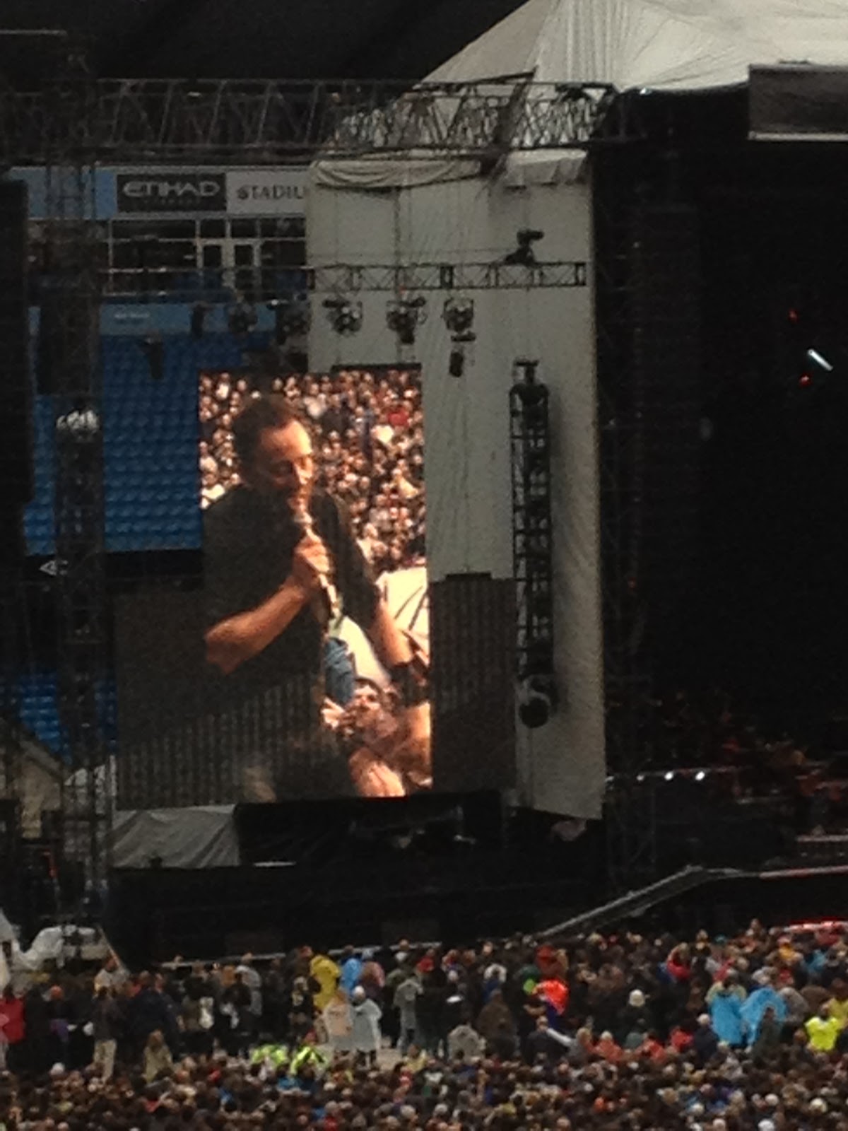
The band came on at 7.20 to Badlands and played on till about 10.40. 30 song set.
Highlights for me were Wrecking Ball, Save My Love, The Promise, The River.
After the show, we went back and sat in the car until we could get out of the car park. We drank not very hot coffee out of the flask.
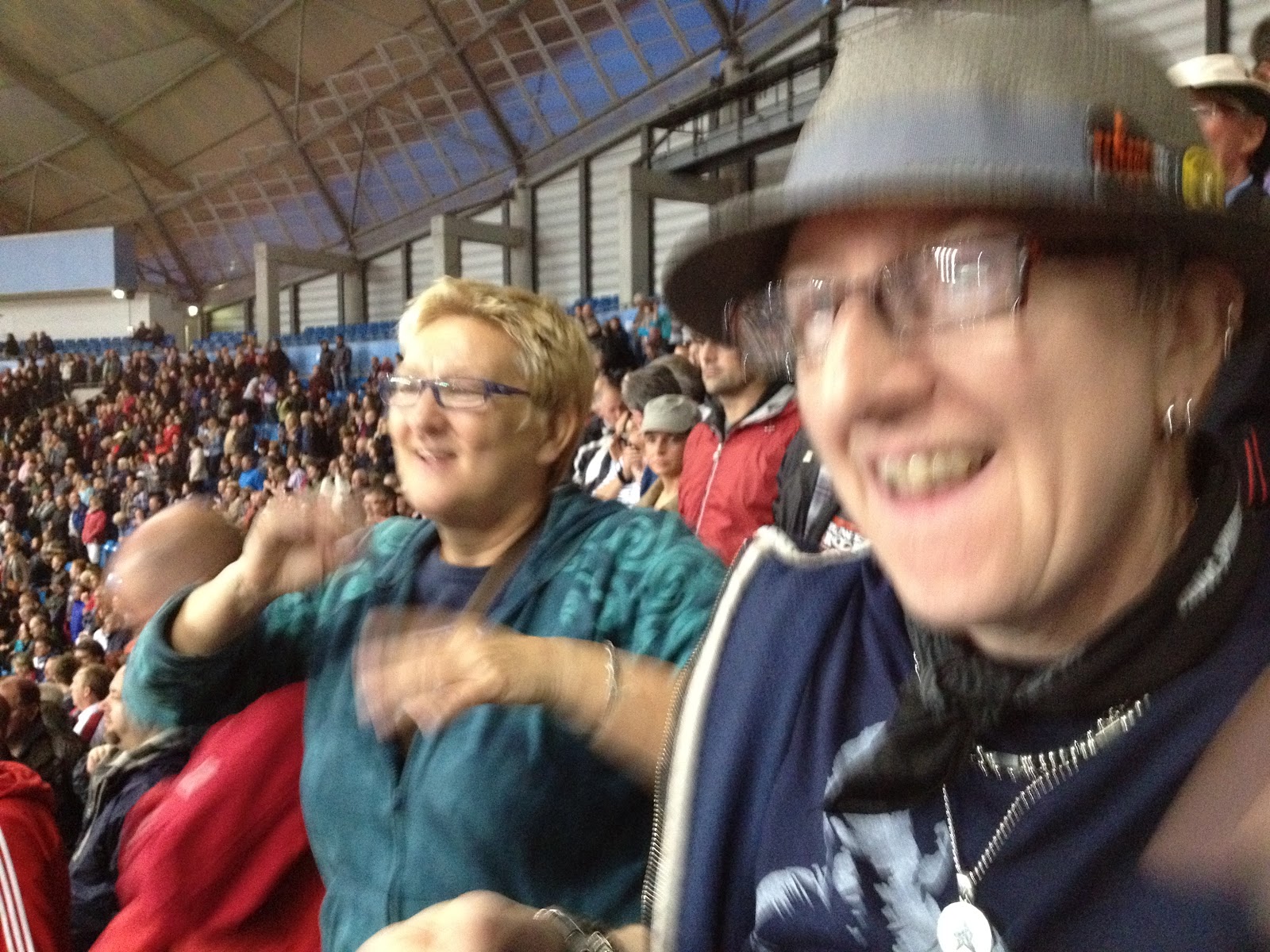
Then easily home. Chris and I reckon that Bruce is better in Euroland where the audiences are more appreciative and actually stop to listen to the quiet numbers. Here, they just talk and shout all through them. For me, I want to hear all the passion, whether it’s rock and roll or emotional ballad. That’s the main thing, gives us 100%.

Greasy Lake set list

Two hearts
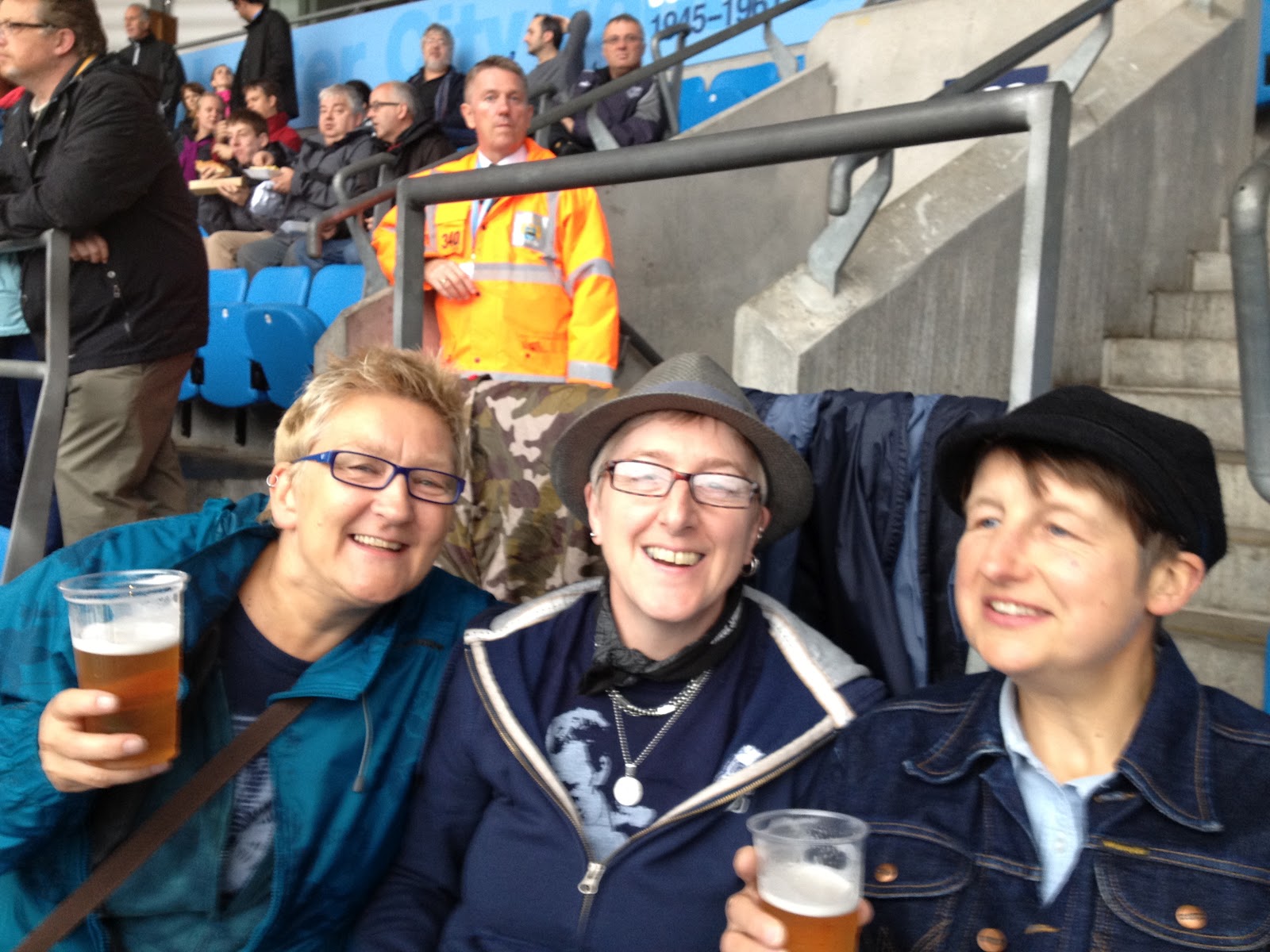
Where is my beer?
Brooce!
Rock n roll
Oh dear, more rock n roll!

Please visit Map and Compass and learn how to interpret a map with me and my navigation partner, Cath.
css.php