Sophy, Mills and I parked at British Camp car park. This is not a tent fest full of Union Jacks but an Iron Age hill fort and also known as Herefordshire Beacon. We set off northwards to go alongside the Shire Ditch to Worcestershire Beacon.
We had very good weather, not too hot but sunny and fresh wind at times. The walk undulates to Black Hill, Pinnacle Hill, Jubilee Hill and Perseverance Hill. We lunched near Jubille Hill on delicious goodies from the deli in Ledbury plus tomatoes, carrots and crisps. Mine was a beetroot, feta and walnut tartlet. Yum! I also had a strudel, yum yum!
The route then drops down to Upper Wyche which has loos and a very large bus shelter. We crossed the road and headed back up to Summer Hill and then the Worcestershire Beacon which is at 425m. Some good views despite being a little hazy across to the Welsh mountains.
6 hills had by then taken a toll on the 2 older members of the party so we tracked back contouring round alongside the road. This was a nice cool path. We stopped for tea at The Kettle Sings where we had teas and lemonade and shared a shortcake.
Back to the car having done about 9km including multiple ascents and descents.
Thank you, dear cousins, for a lovely day.
 |
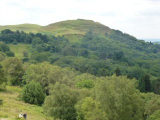
| British Camp on the way out |
 |
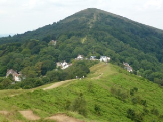
| The path ahead |
 |
| Upper Wyche |
 |
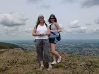
| Sophy and Mills in the clouds on top of Worcestershire Beacon |
 |
| The way we came |
 |
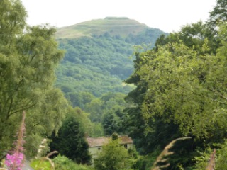
| British Camp on return leg |
[googlemaps https://maps.google.com/maps?f=q&source=s_q&hl=en&geocode=&q=Worcestershire+Beacon,+West+Malvern,+Malvern+Hills+District,+United+Kingdom&aq=0&oq=worcestershire+beacon&sll=52.056882,-2.34503&sspn=0.018894,0.060339&t=p&ie=UTF8&hq=&hnear=Worcestershire+Beacon&ll=52.104818,-2.338972&spn=0.015816,0.025749&z=14&iwloc=A&output=embed&w=300&h=300]
Please visit Map and Compass and learn how to interpret a map with me and my navigation partner, Cath.
Related


