I had an annoying journey to Edale which included a road that was closed with a long diversion, various sundry road works and a horse box for miles and miles. It must have been a very sick horse requiring to be driven at 5 mph.
Finally arrived a mere 40 minutes late at Edale Youth Hostel but Cath D was very chilled and we set off promptly. Despite her having spent the last 2 weeks in India cycling in the sun, she had managed not to get tanned. Very interesting to hear all her tales.
Cath was giving me the benefit of her Walking Group Leader knowledge. CD passed it earlier on this year and on the ground we were planning to cover.
The first leg was quite hard for me to work out, we were getting a precise location by using the contours. It was a challenge as I kept being distracted by a fence which was on the ground but not the map.
We stopped for lunch early on, because of the late start, by a corner of the fence. I took this to be a corner boundary on the map however it wasn’t, so we then worked out where we were using the contours and finding the top of a little gully. Then the corner of walls were in the right places.
We followed the wall up using timing and pacing to find our next target. There was supposed to be another wall running parallel for a short distance but it was very hard to see as was completely overgrown. We then successfully found a stream marked on the map but mainly a bit of bog, but as we walked down to our next target, it actually became a stream we couldn’t see underfoot. In order to stop myself from slipping I grabbed onto a bit of foliage which unfortunately for me was a thistle. Ow!
Down to a much bigger stream which we crossed and then walked all the way up to the top. This was fun, lots of narrow ledges, slippery stones, and thigh high rocks to clamber up. CD is very nimble on her pins but I am an old goat really. Just as C was having a pee, a foreign gentleman turned up looking for his compass. We arrived at the top of the little gorge. Next target was to find a pond on the plateau. I followed my strategy of pacing, then taking a bearing and walking along the contour to find it. C walked further along the path to the end of a wall before taking a bearing to it. We both located a pond but whether it was the right one I’m not entirely sure. We then decided to walk to the next pond by pacing but it seemed to arrive sooner than it should have.
At this point, the heavens opened and we opted for returning to the YH. C quizzed me on nav and I gave her my specialist subject talk on the history of the YHA, with its connections to Ramblers, mass trespass, CROW, HF holidays (Cath now works for HF – brilliant, and is about to lead her first group on Dartmoor next week), Co-operative Holidays, etc. etc. She didn’t seem too bored, although did have a sudden burst of phone activity during this….!
We both then missed the turn back to the YH because of yattering on so. Got back at 18.00 so we’d spent 6 hours out and only covered about 5 km, if that.
It was really good getting out and being challenged. Cath is of course a great teacher (she encouraged me to get into teaching many years ago). Most enjoyable and good to walk in an area I don’t tend to go to much. Admittedly this is because the journey to get to the Dark Peak always seems to be hard work.
As I left the YH track there were some strange goat/sheep in the field next the track. They had goat faces and black and white sheep fleece.
It only took an hour and a half to get back, following another ruddy tractor for about 10 miles.
 |
| Cath and a misleading fence |
 |
| The gorgeous gorge |
 |
| Cath Cool |
 |
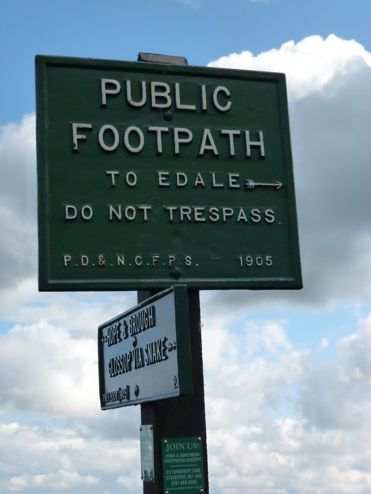
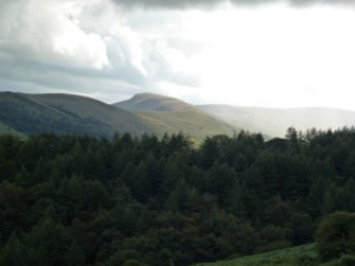
| From well before the mass trespass |
 |
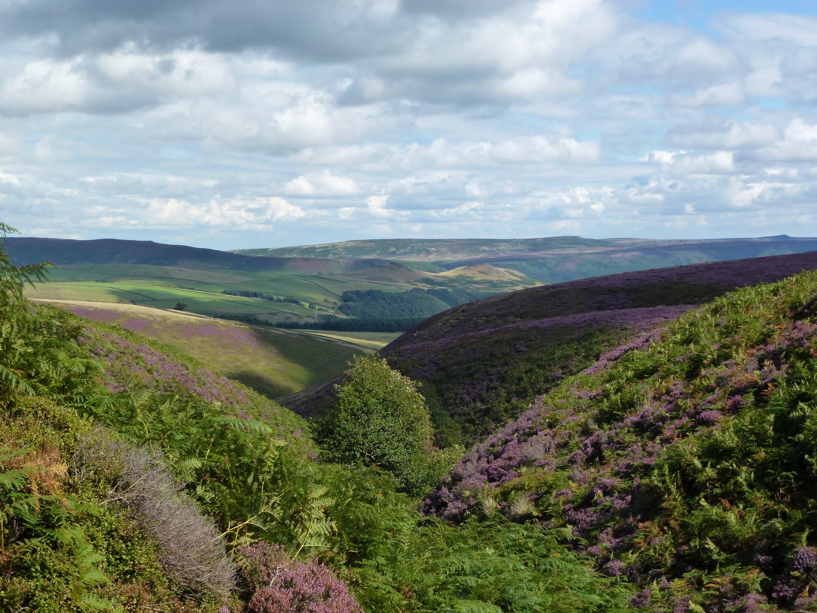
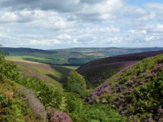
| Clouds over Edale |
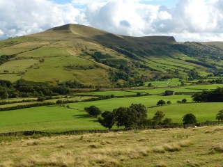 |
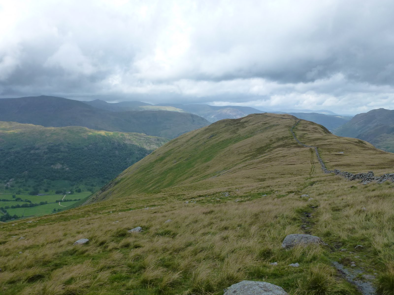
| I think this is Lose Hill |
[googlemaps https://maps.google.com/maps?f=q&source=s_q&hl=en&geocode=&q=Edale+YHA+Activity+Centre,+Hope+Valley,+United+Kingdom&aq=1&oq=edale&sll=47.73855,12.508828&sspn=41.506453,107.138672&ie=UTF8&hq=Edale+YHA+Activity+Centre,&hnear=Hope+Valley,+United+Kingdom&t=p&ll=53.357416,-1.740646&spn=0.030735,0.051498&z=13&output=embed&w=300&h=300]
Please visit Map and Compass and learn how to interpret a map with me and my navigation partner, Cath.