I can remember hearing about these years ago and then was reminded more recently whilst watching Julia Bradbury on the C2C.
I hadn’t even taken in that they were so near to where I’m staying.
I woke at 7 and made a cup of tea. At 8.30 went down for a big breakfast of muesli and yoghurt followed by 2 very nice poached eggs on toast and grilled tomatoes and beans. Yelly gave me espresso so full marks for that. And a big packed lunch in case of danger of going more than an hour without food.
So I went into Kirkby Stephen and pootled for quite a surprising amount of time. I bought eye drops and batteries and went for a great ristretto in the Post Office which is the old Catholic church and has nice deli type food for sale. Also put my head in the church which is jointly used by Catholics and Anglicans and just shows ecumenical ideas can work and have done so here for over 20 years.
I parked near the quarry and then walked for a good way along the road which wasn’t entirely necessary but did include passing a farm with 2 llamas. They did look odd with their long necks.
Just after the path to the Standards starts I had my lunch but could not eat it all so gave the birds some bread.
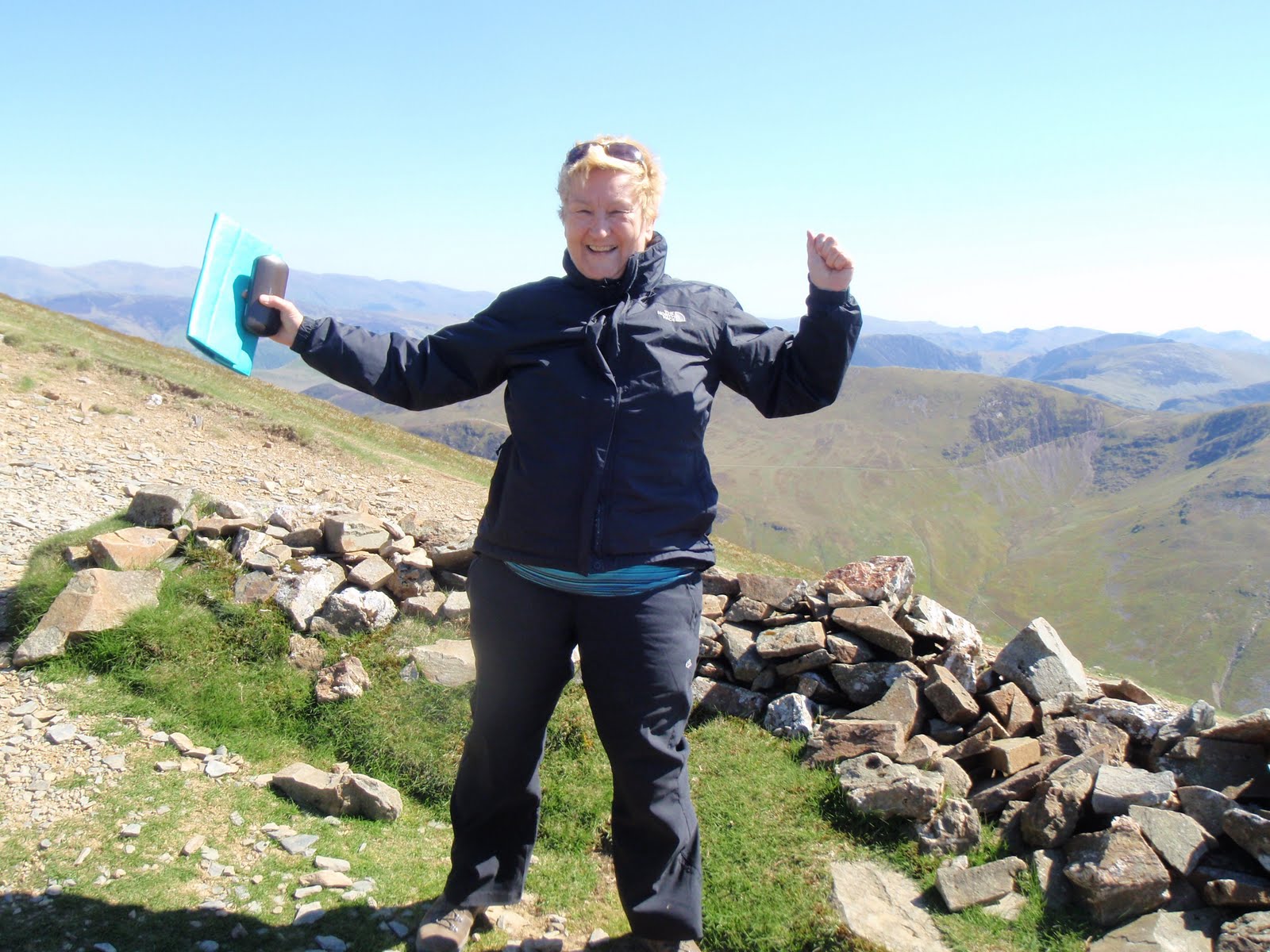
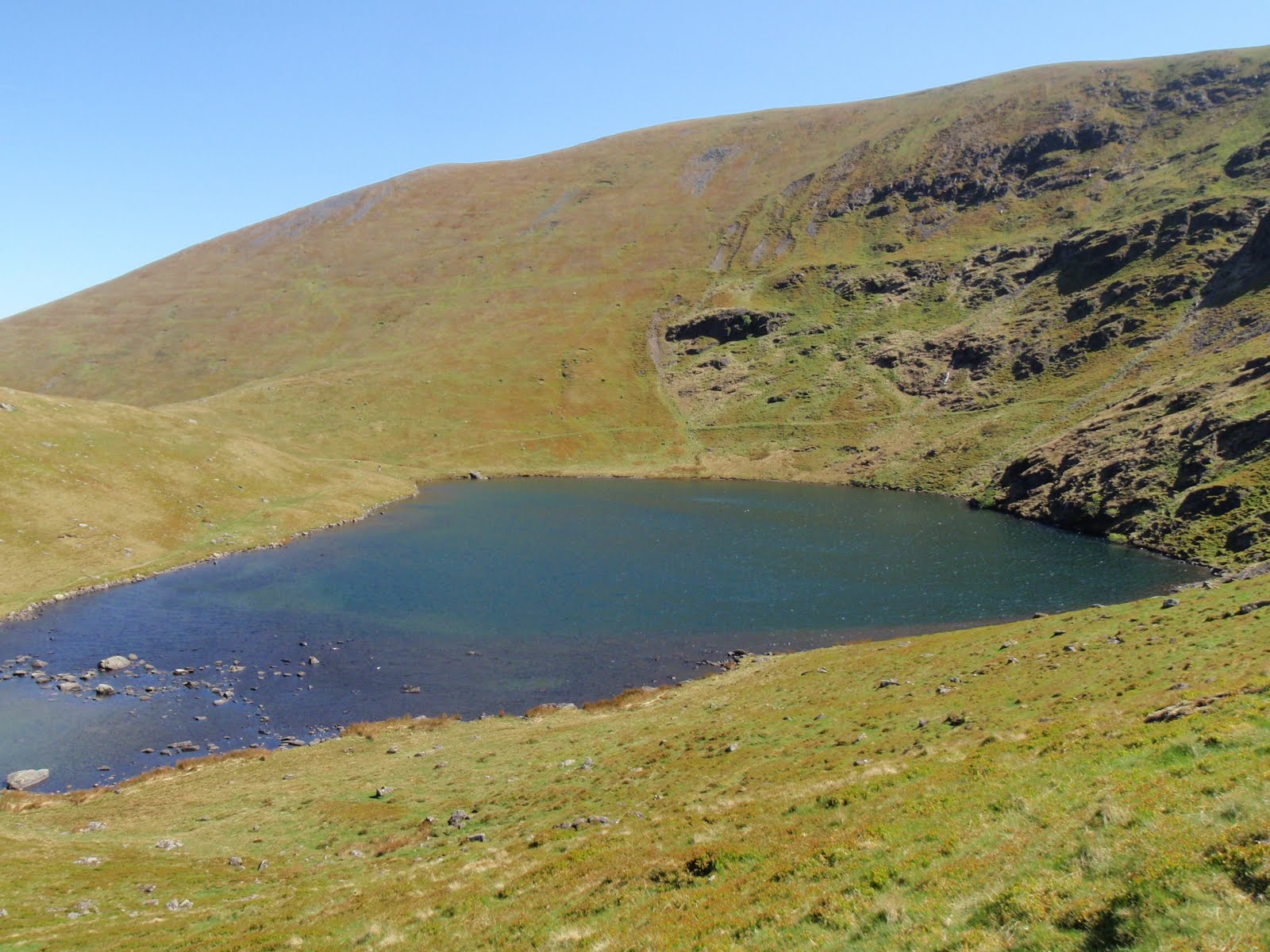
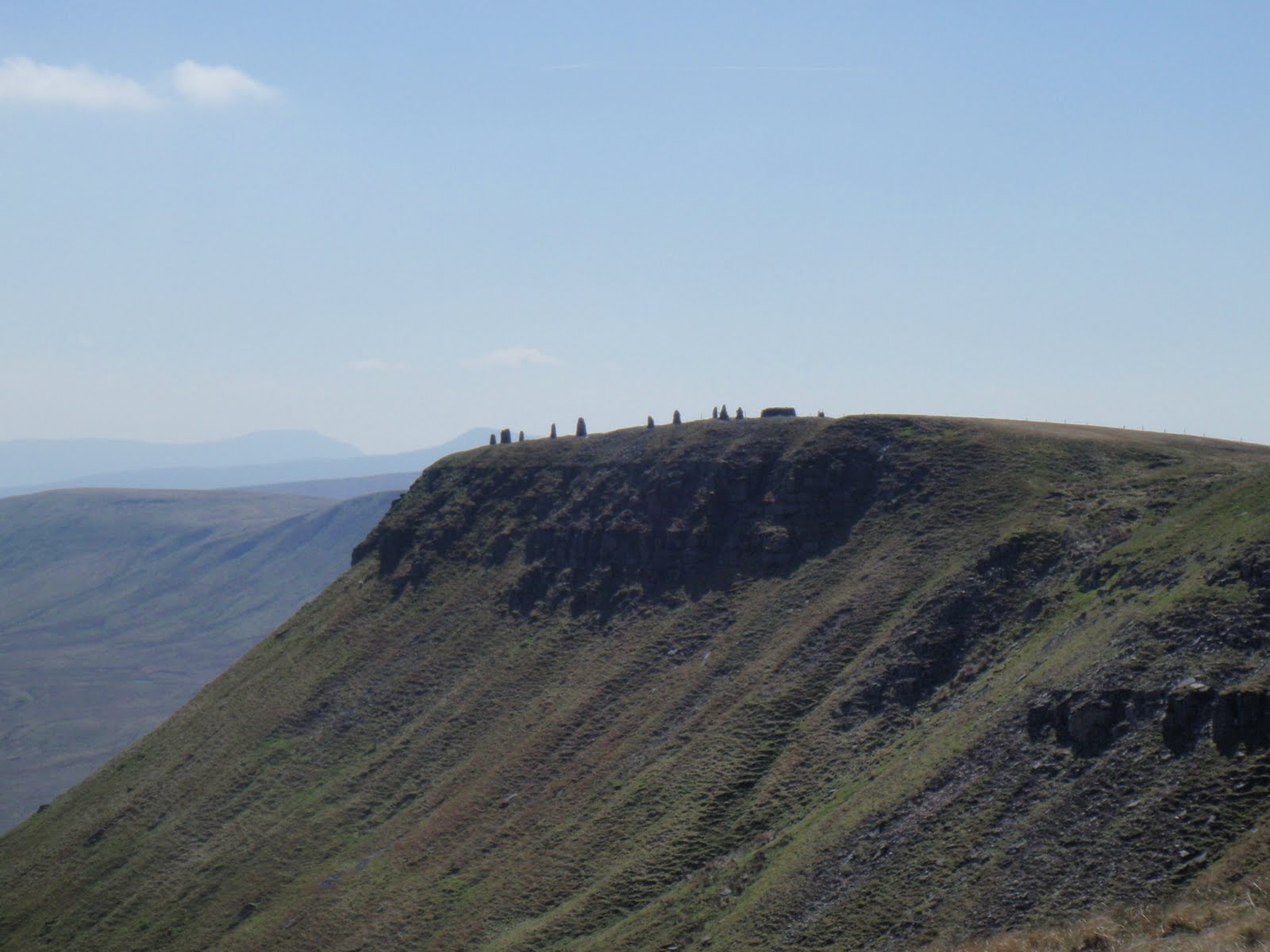
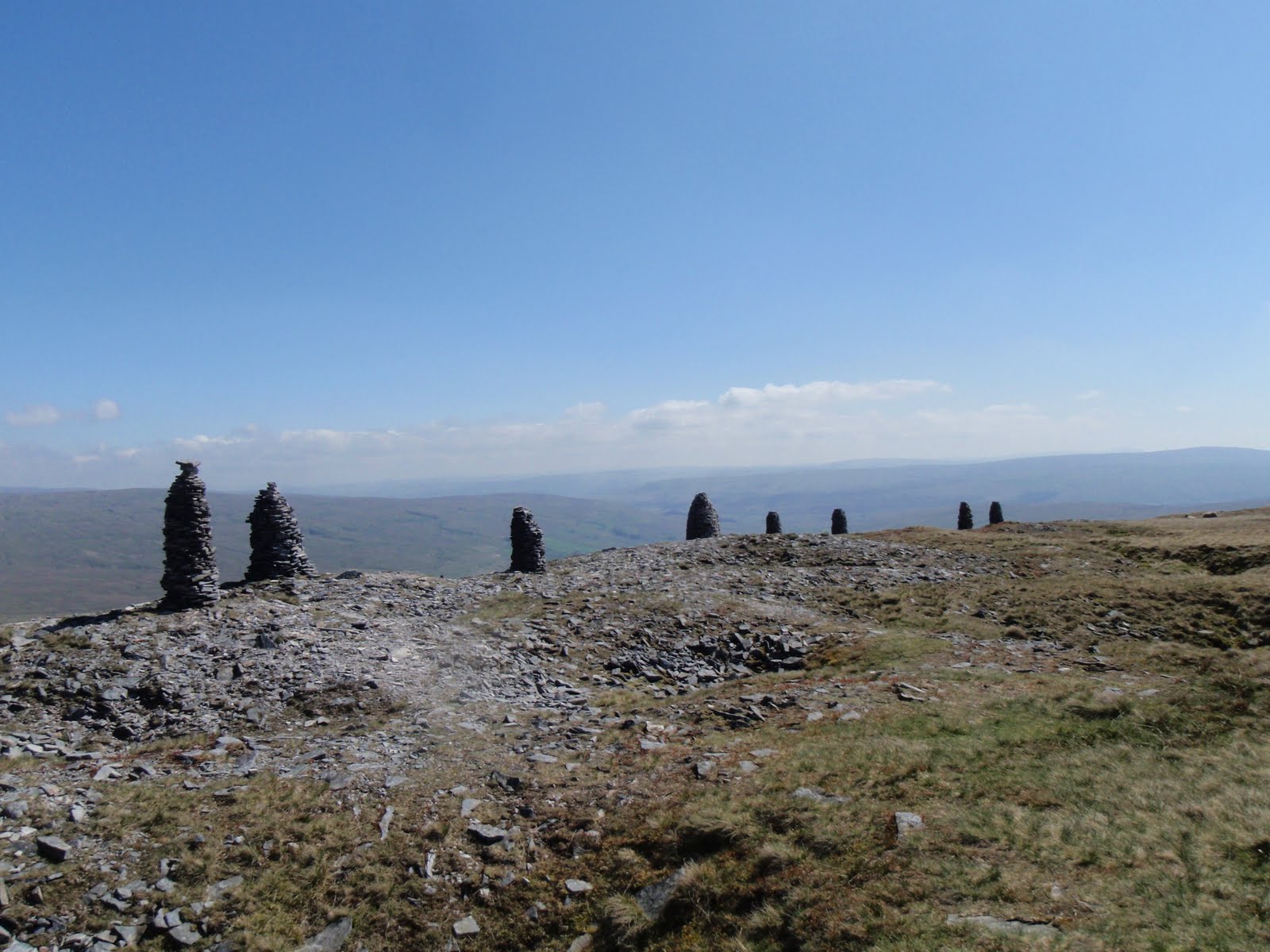
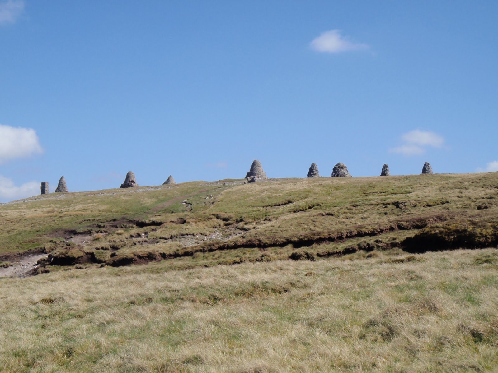
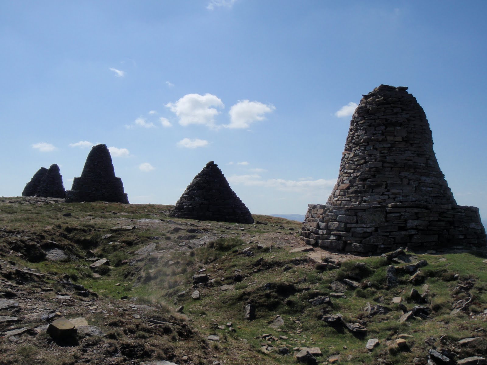
Carried on and before long got to the stones. They are very strange and are in good nick. I stopped for a bit but quite cold and windy so kept on to the trig point. Then I decided to cut across the dried out bog to Jack’s Standard. This was ok and then I did some serious nav and aimed at returning to the 9 Standards path. I met an old man with dog who suggested I go to the fell wall and down so I went with Frank aged nearly 80 who is ex farmer, milkman, climber, Mountain Rescue volunteer and all round mine of information. He showed me all sorts of things including a badger sett. We went to the end of the track where he had parked his car and where I should have. He then gave me a lift back to my car!
I drove back to Ravenstonedale for cake and tea followed by most powerful shower I’ve ever had.
Out and back to Kirkby Stephen to the Old Forge for much better dinner. I had beef carbonnade and it was also lots better than the one I made on Monday. It came with chips, new potatoes, swede mash, broccoli. And was cheaper than last night.
10km
440m ascent
 |
| Heading up to Nine Standards Rigg, peat erosion |
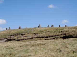 |
| Nine |
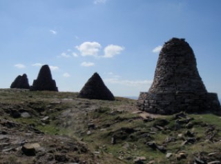 |
| Four/five |
 |
| Four |
[googlemaps https://maps.google.com/maps?f=q&source=s_q&hl=en&geocode=&q=Nine+Standards+Rigg,+Hartley,+Eden+District,+United+Kingdom&aq=0&oq=nine+stan&sll=54.372159,-2.492867&sspn=0.031499,0.104628&t=p&ie=UTF8&hq=&hnear=Nine+Standards+Rigg&ll=54.450081,-2.270737&spn=0.029942,0.051498&z=13&iwloc=A&output=embed&w=300&h=300]
Please visit Map and Compass and learn how to interpret a map with me and my navigation partner, Cath.