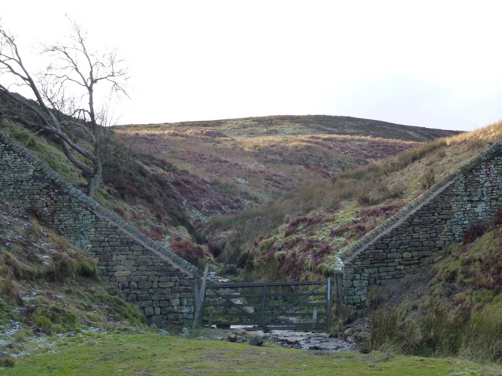
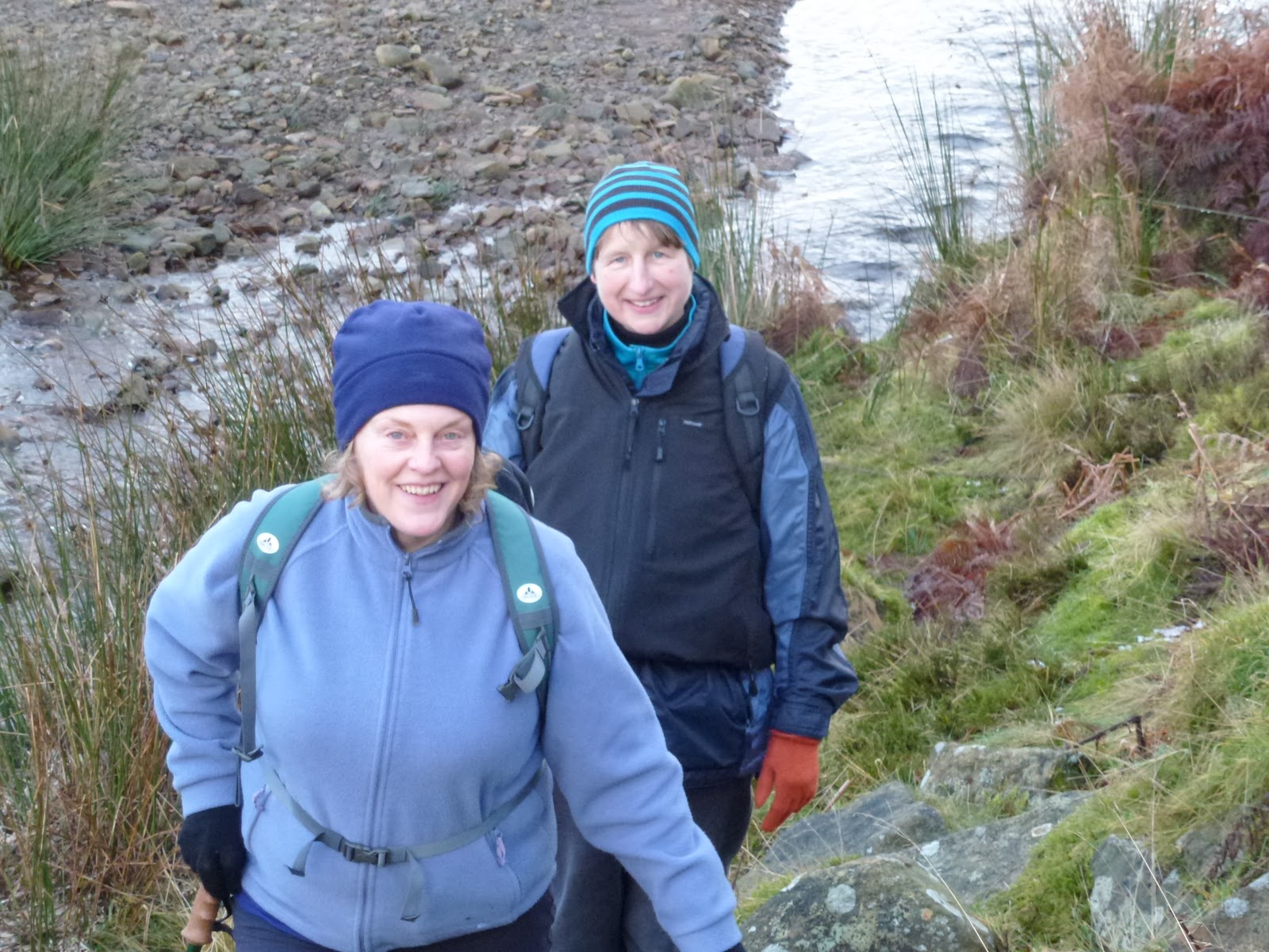
Warley Moor Reservoir and Dean Head Reservoirs 26th February 2012

Babs and I met up before 11.00 on the A6033, the road from Pecket Well to Oxenhope. It was dull and grey and pretty cold so we got moving. Climbed up quickly going along Limers’ Gate which flattens out on the top of the moor to a trig point. From there to a single standing stone which then takes you to a drain. We followed the drain until we got hungry just near Bare Clough. Then we lunched, Babs on tuna and beetroot sandwich and me on a pork pie. I had hot chocolate made with water not with milk for a change and very welcome it was.

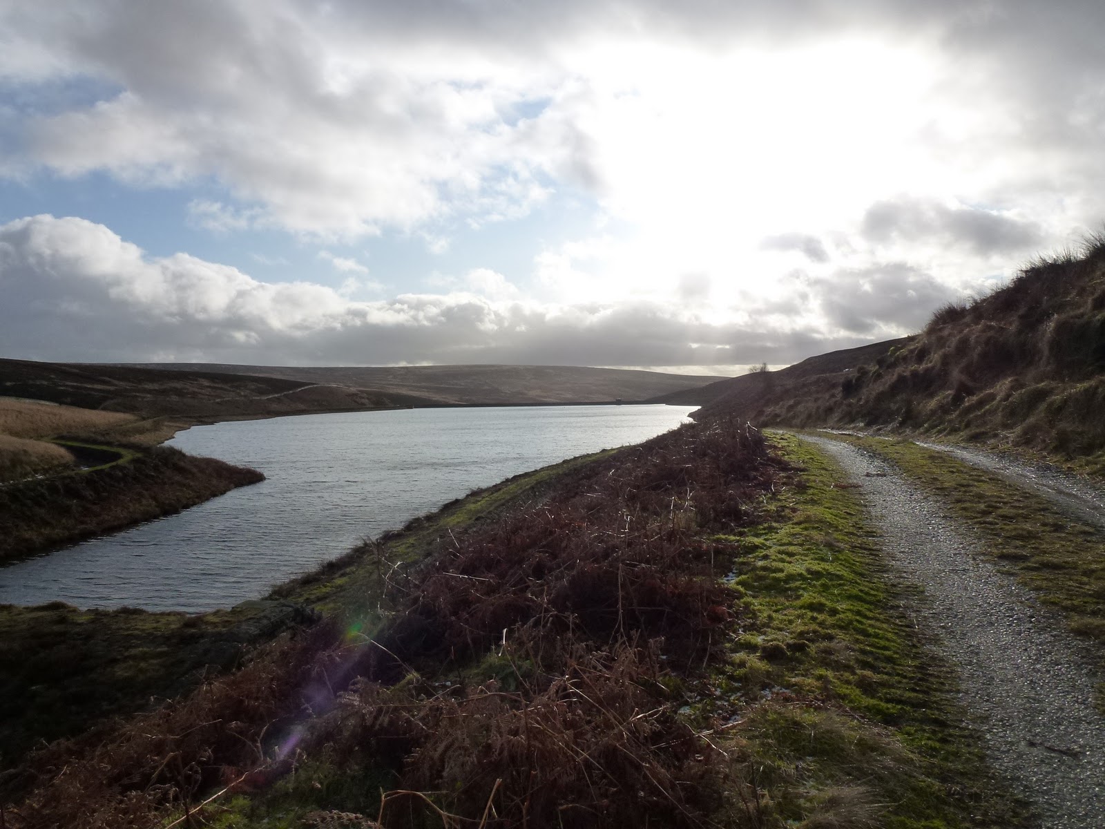
We kept on with Catchwater Drain across Midgeley Moor until we reached Warley Moor Reservoir. This reservoir is quite bleak with the wind farm as a backdrop. From here we couldn’t see the path we should take so instead went along the side of the reservoir and took a path from the southern end. This worked fine, it was a nice broad path dropping down gently to Upper Dean Head Reservoir which appeared to be tree lined, it wasn’t until we got nearer that we saw it’s actually rhodendendron lined, all along the western edge. We carried on past Lower Dean Head Reservoir and crossed at the bottom end. Both the reservoirs are very pretty in a lovely sheltered situation with lots of greenery and trees.

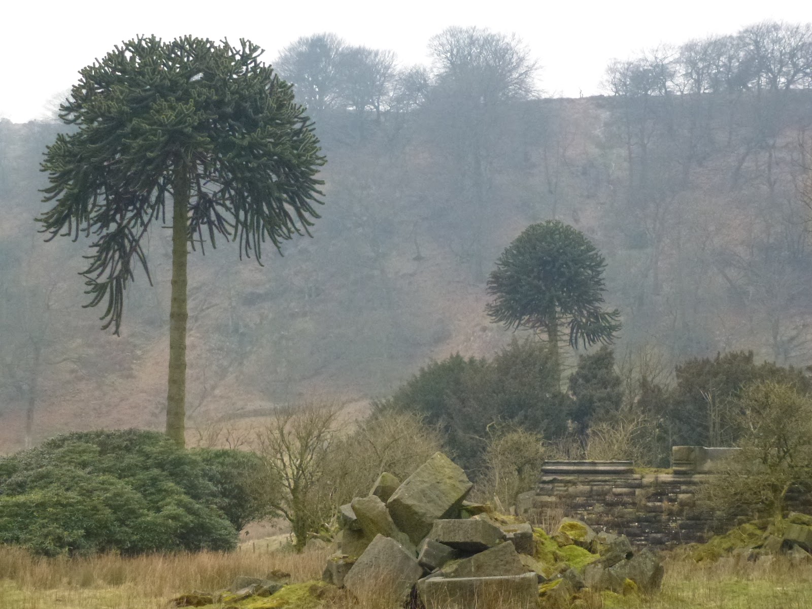
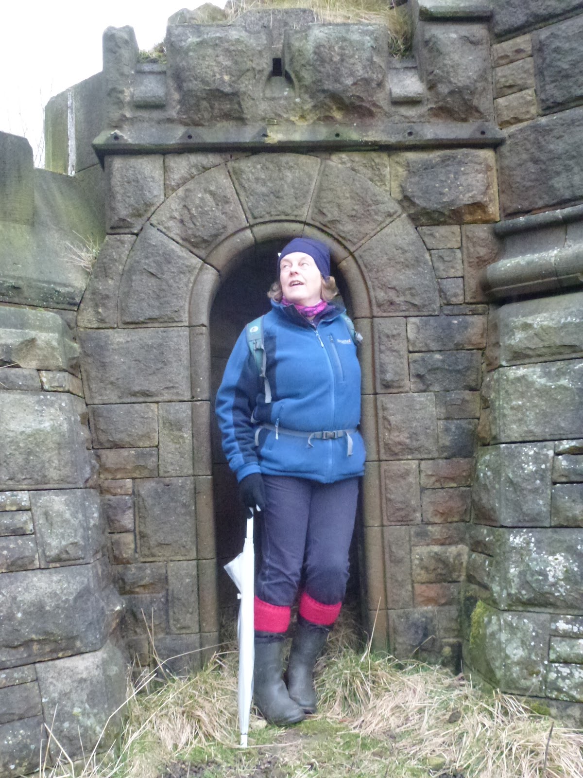
From here we took what looked like an old Victorian estate path, passing several monkey puzzle tree and endless rhodedendrons which are strangling the old trees as they’ve been allowed to grow without being managed. Before long we came to some big stones on the side of the path which looked to have come from a prominent building as they were all carved stone. Turning round we saw the remains of a Victorian castle complete with portcullis. We explored all round this place wondering what it was as only marked as 2 unnamed buildings on the map. Even a coat of arms on one big stone with the words “Bonum Dei” visible. Babs eventually established it was Castle Carr from searching the web. I’ve since looked further into it and there is a gatehouse which is still inhabited, so that’s a plan for another trip. It appears we were walking on private land and they only open up on one day a year, however that wasn’t clear from the path we took, which only mentioned that we were leaving access land and a footpath is clearly marked on the map.

We then did a bit of a slog up the hill to get back, meeting some fell runners on the way who were doing a 27 mile run with just 3 to go. Some of the moor was on fire again. It was also very dreary and dull. We were both getting tired and although I knew mostly where we were, we did use Babs’ gadget to get a fix on our path.

A very interesting and stimulating day and made me want to do some more in that area.

Solitary stone
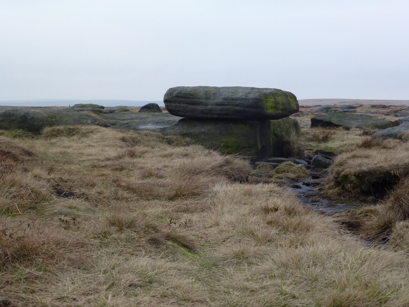
Table stone
Upper Dean Head Reservoir
Bendy tree
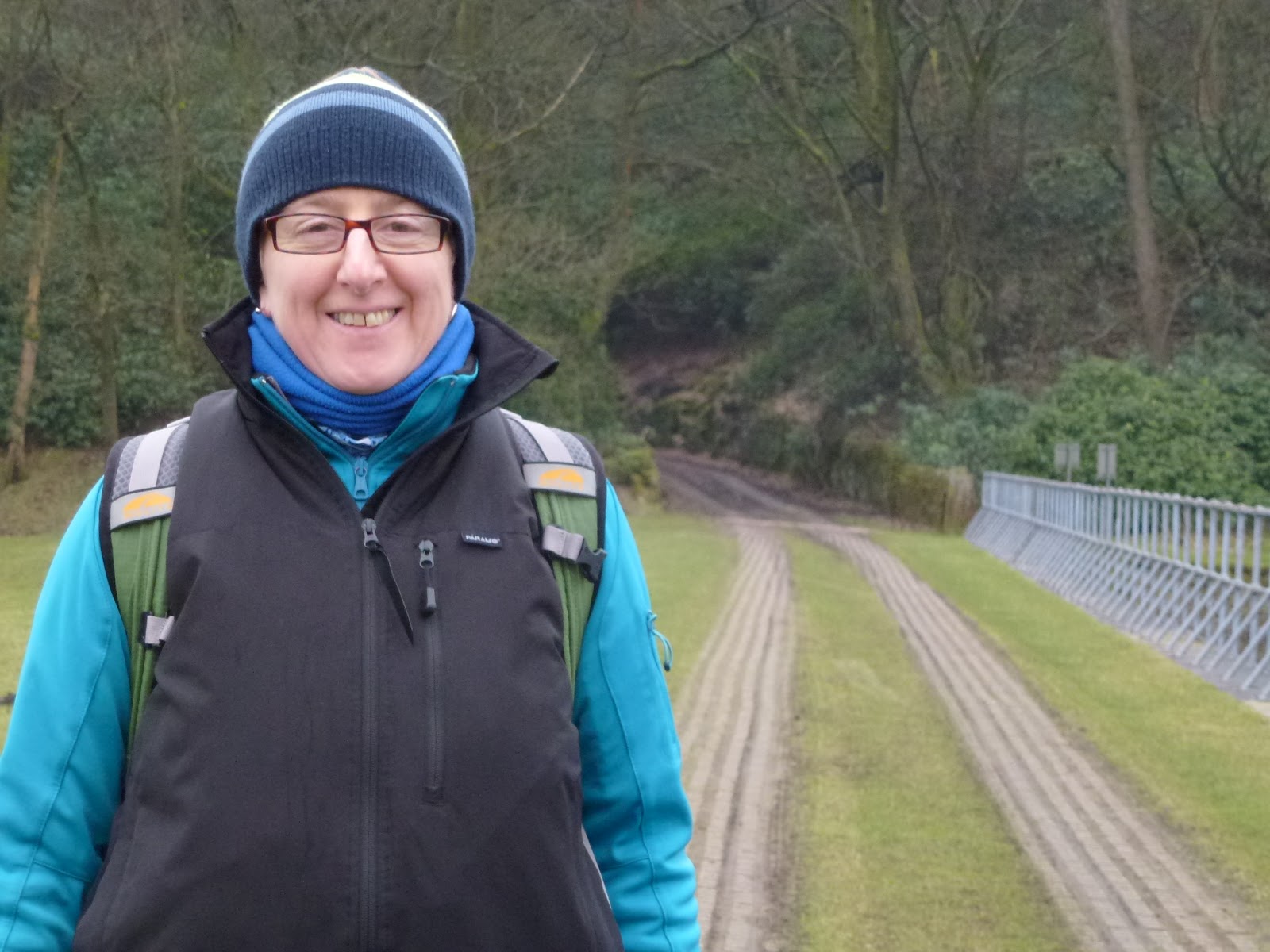
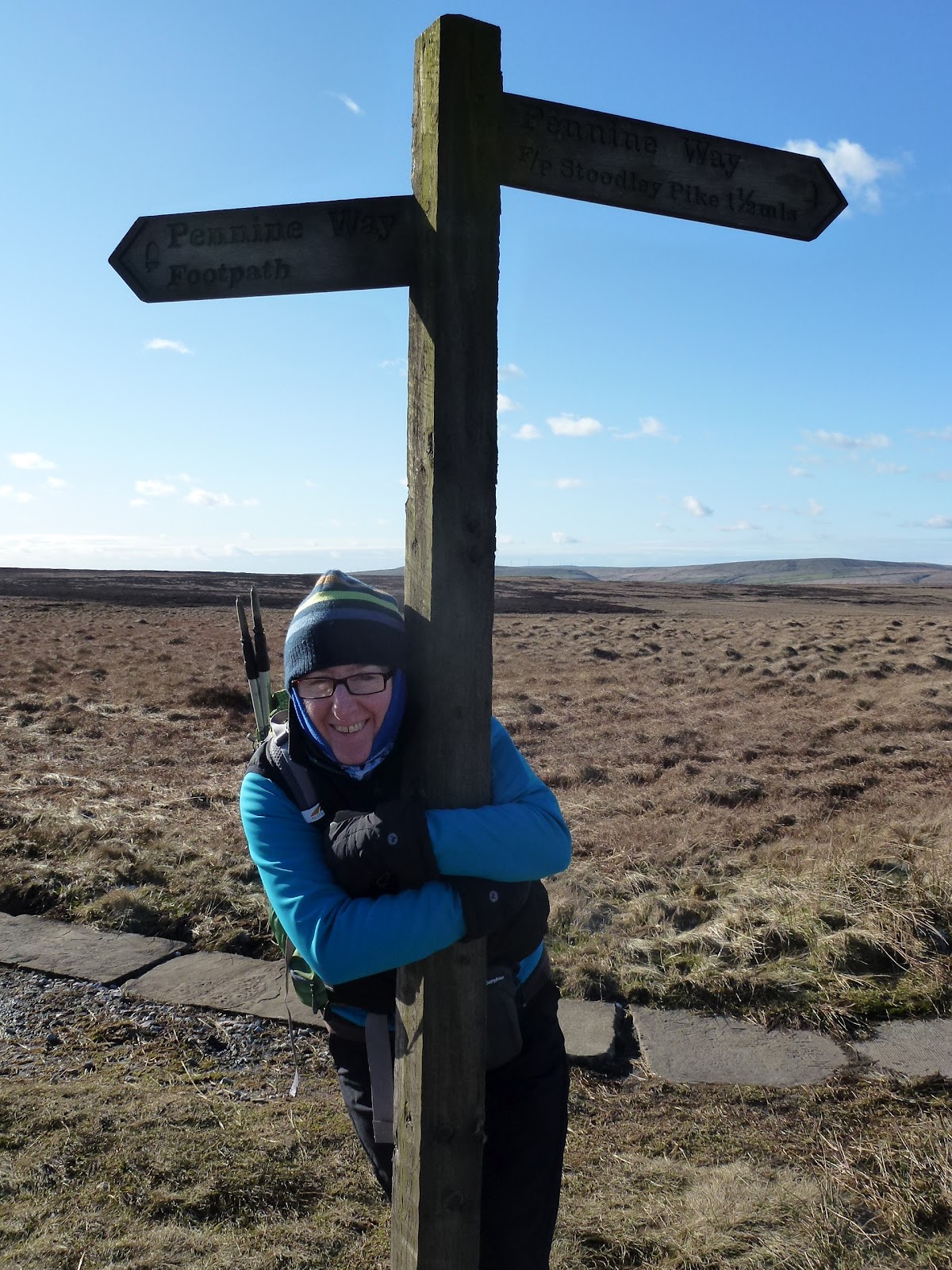
Babs smiliing not grimacing!
Aiming for better posture
Gaol birds this way
Castle Carr
More ruins
Ye ancient coat of arms
Castle Carr grounds
Babs posing

[googlemaps https://maps.google.com/maps?f=q&source=s_q&hl=en&geocode=&q=Warley+Moor+Reservoir,+United+Kingdom&aq=0&oq=warley+moor&sll=53.66266,-2.03702&sspn=0.072829,0.241356&t=p&ie=UTF8&hq=&hnear=Warley+Moor+Reservoir&ll=53.782702,-1.956081&spn=0.015214,0.025749&z=14&iwloc=A&output=embed&w=300&h=300]

Please visit Map and Compass and learn how to interpret a map with me and my navigation partner, Cath.

Blackstone Edge reservoirs 19th February 2012

My first big walk of the year. After I’d been to Hollingworth Lake to give them more evidence of my identity for my CRB check, Chris, Babs and I all met up at Babs’ house in Littleborough, we were all on time and drove up to the car park just below the White House pub which was already full.
We set off smartly and did a circuit which took in Blackstone Edge Reservoir, Light Hazzles Reservoir, Warland Reservoir and quite a way round to White Holme Reservoir.
The path was quite busy and we came across some fell runners doing a memorial race for a man who had died in a peat bog. A terrible story, he’d had a heart attack and was found in the bog some 3 weeks after he’d gone missing with his head sticking out. The lead runner was way ahead of all the rest who came panting and blowing up behind. Given that it was very very cold, the runners were mostly clad in vests and shorts and were hot. We, on the other hand were struggling to keep warm in all our layers. A sharp cutting wind but lovely sun and none of the forecast wintry showers materialised.
There is a “stanza stone” near this point, stanza written by Simon Armitage. This is a project throughout the region carving stanzas into stones.
We stopped in a drain (on the dry concrete part) to eat our lunch as it was a bit out of the wind but unfortunately had picked a busy footpath so we got disturbed several times by runners, people with idiotic dog and an old geezer who was a bit of a Wainwright. I suspect he was deliberately aiming at this characterisation but he was quite nice for all that, although Babs said she thought he was a bit grumpy!
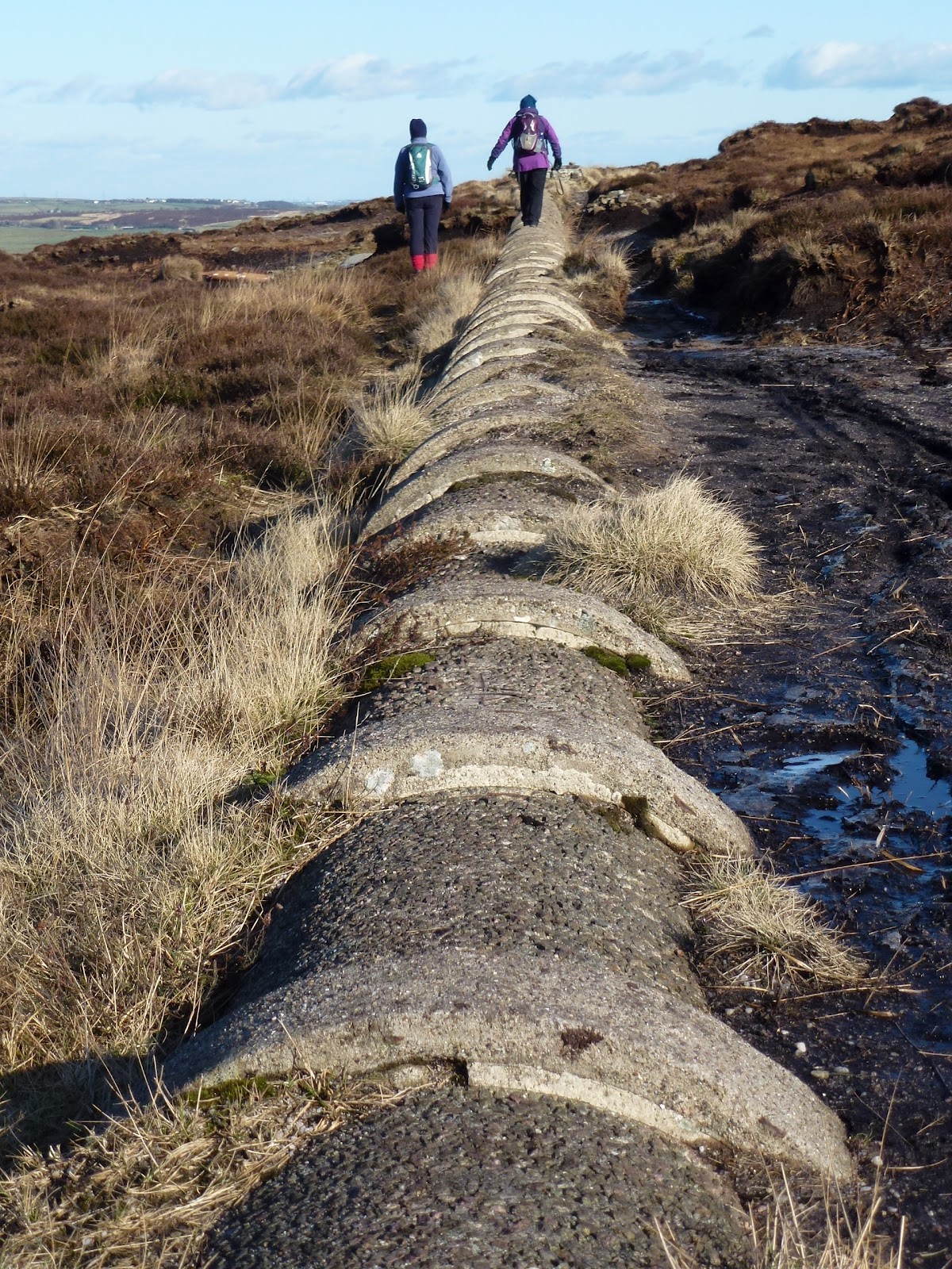
Then we followed the drain for a good stretch and actually lost all the people mainly because we were on a little used path, some of it was fine with new paving slabs, some we had to walk on top of a big pipe and some we had to cross a bog. I did this less successfully than was desirable and ended up with a) a wet foot and leg up to my knee and b) visions of the dead man in the bog. None of us had walked that stretch before and it was only just doable as some of the bog was frozen, not the bit my leg went into. I was very grateful for all the good gear and quickly dried off and warmed up.
The path went parallel with Turvin Road and Chris and I both realised that we’d looked across to where we were now walking as we’ve driven up that road and thought about walking it so yes it can be done!
As we approached White Holme reservoir, some of the moor was on fire.
The last stretch was quite hard for me and I think we all felt it a bit. We did 8 and a half miles, no hills but very cold and a great walk on a sunny day to get back in the swing of it. Thanks pals.

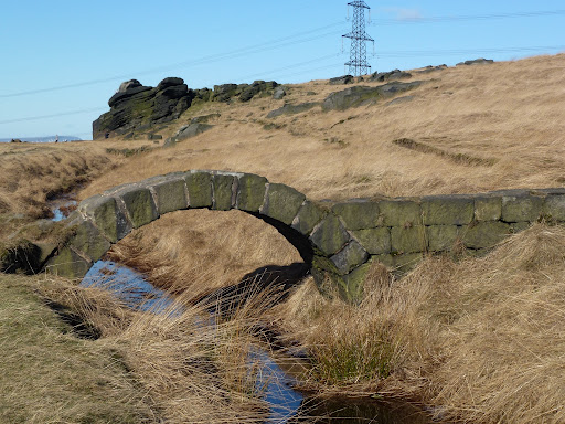
Bridge over Head Drain
Light Hazzles Reservoir
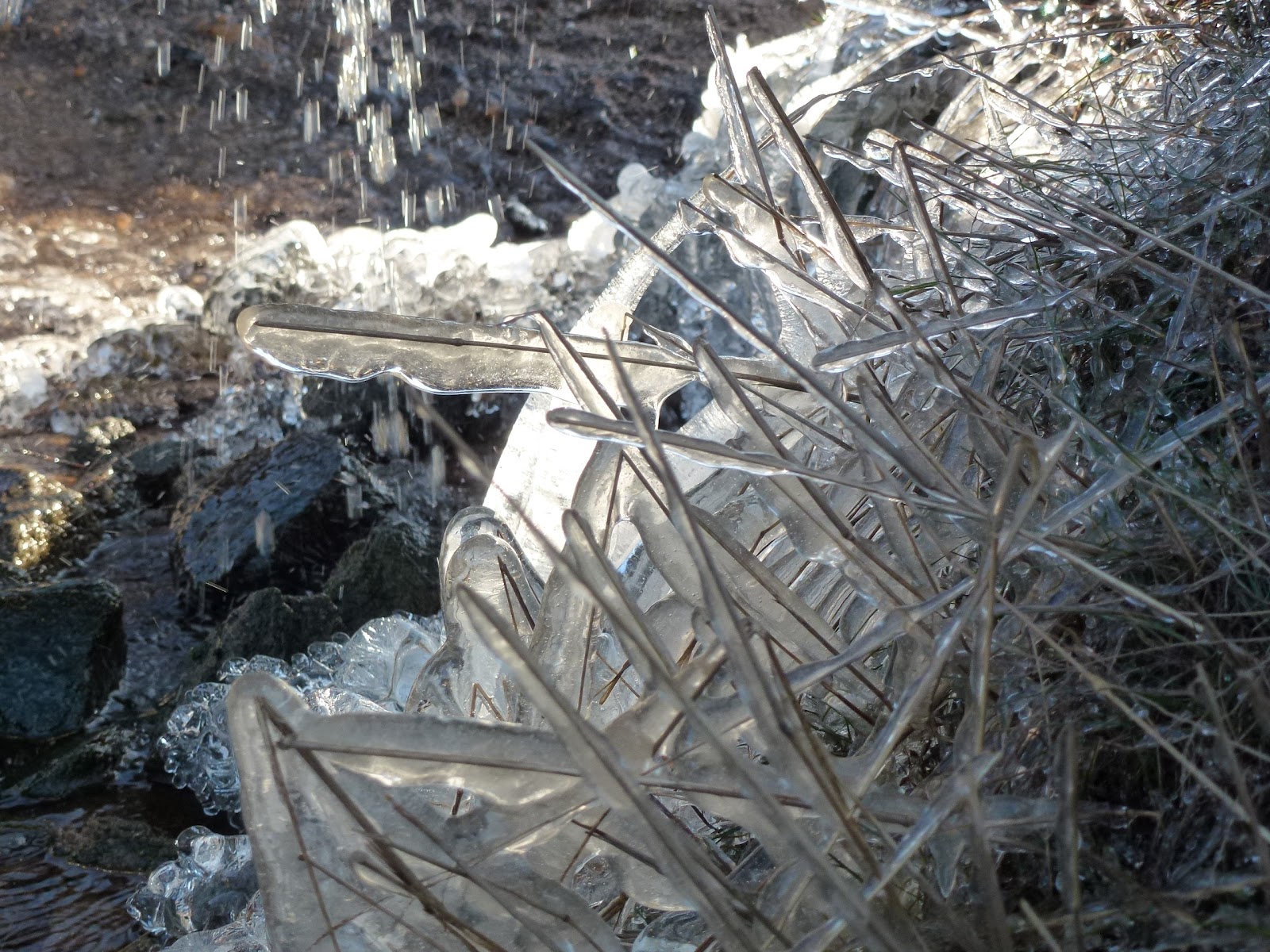
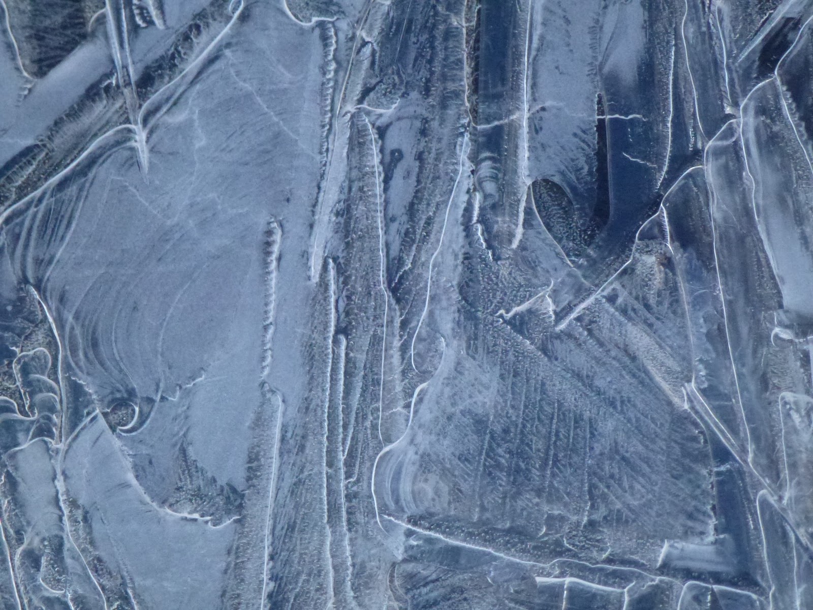
Icy puddle
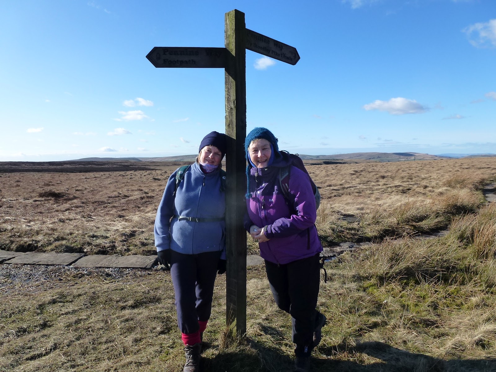
Babs and Chris
Jak and Chris
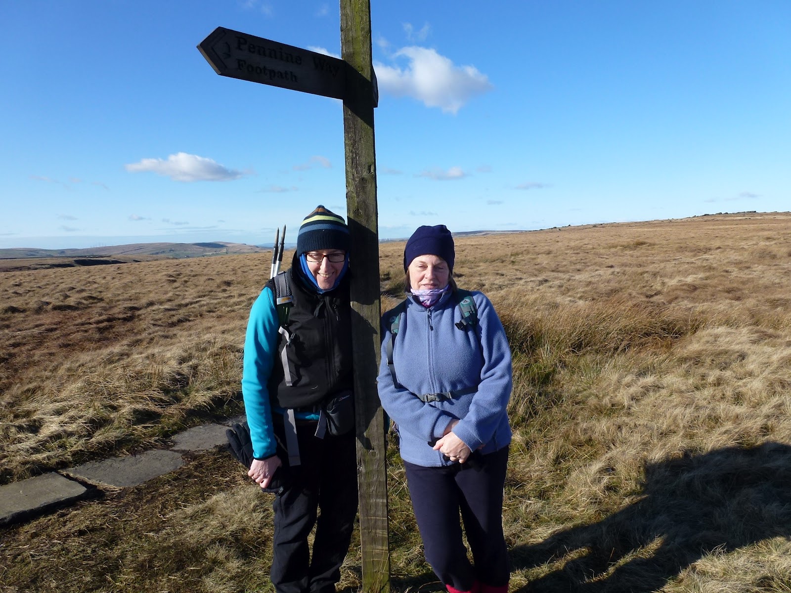
Jak and Babs
Raving nutter
The Pike
The pipe
Leak from pipe
In White Holme Drain

[googlemaps https://maps.google.com/maps?f=q&source=s_q&hl=en&geocode=&q=Blackstone+Edge+Reservoir&aq=1&oq=black&sll=47.73855,12.508828&sspn=42.417597,123.574219&ie=UTF8&hq=Blackstone+Edge+Reservoir&hnear=&t=p&ll=53.662747,-2.036934&spn=0.061029,0.102997&z=12&iwloc=A&output=embed&w=300&h=300]

Please visit Map and Compass and learn how to interpret a map with me and my navigation partner, Cath.

Save

Assessment at HLWAC

This morning I went to Hollingworth Lake Water Activity Centre for a staff recruitment day, Babs had told me about it and they said they needed people with WGL. Despite all my efforts, it had been almost impossible to get any information out of them. I’d rung up 3 times, Babs had called in on my behalf but still no letter from them. Eventually I got them to email with the details which told me almost nothing, certainly not what I needed to prepare, just that I had to be there at 10.00 and would have the opportunity to deliver and instruct a practical skills session for 15-20 mins. Sessions would be allocated on the day.
So I prepared a a 20 min introductory session to navigation and map reading. I took all the kit I could possibly need. I arrived on time and was surprised to find that I’d been given mountain biking for the morning (to do taking a bearing and warm ups) and climbing in the afternoon (more warm ups). I questioned why I was being asked to do something I wasn’t planning on delivering and eventually it transpired that most people were there for the wet activities but that they want to expand their dry activities and there were only 2 of us attending with WGL and one for mountain biking so we grouped together. I decided to go with the flow. The manager of the centre introduced himself and the staff, most of whom were wet workers and only one dry. The centre is run by Link4Life who have been contracted to run all of Rochdale’s leisure activities. This means they are reasonably well off, able to recruit, and all their income goes back into the centre.
We got a tour of the centre, which involved looking at various types of boats and hearing strange terms and acronyms which I have now forgotten. We also saw bikes and some cupboards with ropes in.
Next Al took Tony, Gill and me outside. Tony showed us how to do an “M” check of a bike and how to ride downhill. We didn’t actually go out on the bikes as it was too icy.
Then Gill went through how to do a grid reference and then I did how to take a bearing. I got them to do some running on the spot as usually warming up for walking is done by walking! It all seemed to go well, all 3 of us were good at explaining, involving the others and questioning.
It was then nearly 1 pm and none of us were actually needed to go and do climbing so we filled in various forms and were allowed to go. The manager, Gary, I think that was his name, said we didn’t have to do any more.
They are looking for casual staff to do evenings, weekends etc. They are also taking on permanent staff so I think this is about building up a pool of expertise to draw on as they build up the activities and skills base. They are planning to offer guided walks and teach navigation.
I started off very irritated at their lack of organisation but finished up hoping that they would offer me work as it’s very near, and they are well funded. They just need to get their IT sorted so that they have mapping software!

[googlemaps https://maps.google.com/maps?f=q&source=s_q&hl=en&geocode=&q=Hollingworth+Lake+Sailing+Club,+Littleborough,+United+Kingdom&aq=3&oq=hollingworth+lake&sll=53.715302,-2.070545&sspn=0.036369,0.120678&t=p&ie=UTF8&hq=Hollingworth+Lake+Sailing+Club,&hnear=Littleborough,+United+Kingdom&ll=53.631611,-2.10165&spn=0.030537,0.051498&z=13&iwloc=A&output=embed&w=300&h=300]

Please visit Map and Compass and learn how to interpret a map with me and my navigation partner, Cath.

Stoodley Pike 15th January 2012

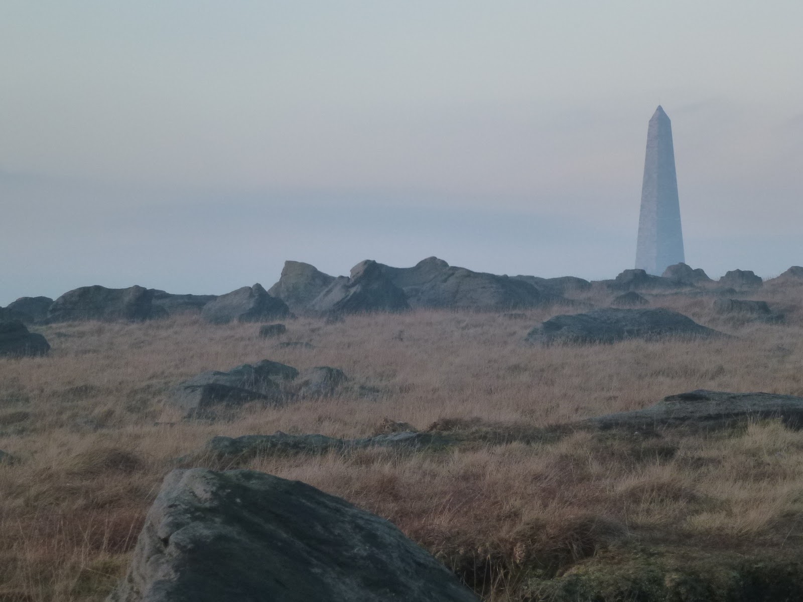
When I left our house it was -2.5C and thick fog, once up on Blackstone Edge the fog lifted (usually the most foggy place always) and the sun was out and it was a steamy 3.5C.
I popped in to see Chris and hear all about her trip to Cuba. It was lovely to see her and catch up, several hours and some Cuban coffee (lovely), Cuban chocolate (very nice), Cuban music (lovely), sniff of a Cuban cigar (not so lovely, smelt a bit like drains), I drove up to the base of the Pike.
I went up the stone steps as I worked out these would be more slippery later, they weren’t too bad most of the way. I stopped at the end of the wall to blow my dripping nose and was passed by a couple, the female of which was teetering down each step and who informed me that it was “like the everglades up there”. I know I am deaf in one ear but I was so staggered by this that it struck me dumb, just as well really. Here is a picture of said “everglades”, it was funny because in a very weird way it sort of made sense, at least I could imagine her gliding gently down the slope forever ….
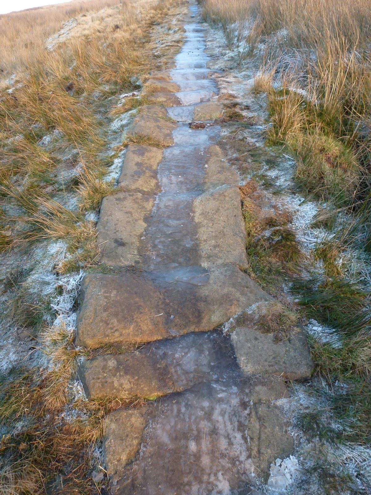
The “Everglades”

It was a nice short walk right at the end of the day. I reached the Pike and came down the steep side which has become badly eroded since I was last there, which isn’t that long ago.

Returned via Cragg Vale, two black deer silhouettes crossed the road in front of me quite slowly, and back up onto Blackstone Edge which had recovered its fog.

[googlemaps https://maps.google.com/maps?f=q&source=s_q&hl=en&geocode=&q=Stoodley+Pike+Monument,+Todmorden,+United+Kingdom&aq=0&oq=stoodley+pi&sll=54.7,-3.05&sspn=0.071024,0.241356&t=p&g=High+Pike,+Caldbeck,+Allerdale+District,+United+Kingdom&ie=UTF8&hq=Stoodley+Pike+Monument,&hnear=Todmorden,+West+Yorkshire,+United+Kingdom&ll=53.715301,-2.07058&spn=0.015238,0.025749&z=14&output=embed&w=300&h=300]

Please visit Map and Compass and learn how to interpret a map with me and my navigation partner, Cath.

Save
The Walshaw Dean reservoirs

At last, a rainless day so Carol and I met up with Babs at a grid reference on the road at Widdop. We had actually planned this in advance and selected today as the only really good looking day on the forecasts. It didn’t rain at all while we were out and there was quite a bit of sun but it was incredibly cold and we met some really nasty wind chill on our way back.
We walked along the west side of the Walshaw Dean reservoirs – Lower, Middle and Upper. I’ve been here a lot as it’s a good walk if you don’t want anything too challenging but has options for that if you do want it! Today we stayed with the mild side. We had a bit of a go at natural navigation spotting which ends of puddles were more silted up, there was certainly a strong southerly wind blowing but I already knew that so we didn’t really work it out but it was good to see the puddles showing hints. We talked about trees making a tick shape as they bend themselves towards the sun. I took out my Dad’s old military compass which is a Glauser Mk IX from 1938 but it was too chilly to play about with it, too chilly to get my hands out of gloves anyway.
I’d not walked all the way to the top of Upper before so was surprised when we came to the top reservoir inlet which is a torrential river. We tried to cross it going over a gate, at least Babs and Carol watched me whilst the gate swung too and fro and I struggled across to the other side, at which point we all decided that perhaps we wouldn’t all do it so they just buggered off and left me dangling over the torrent!
We then crossed the river a bit lower down where it was a bit less deep and looked for a suitable lunch location. We sort of huddled behind a wall but it was bitterly cold and so our lunches were fairly swift. I’d brought along a flask of coffee for which I was very grateful. Just for Kate, Babs had curried tuna, I had turkey and mustard and Carol had ham. We all had some chocolate. Babs had Lady Grey tea.
We tried to do a circuit of the reservoirs but the next hurdle was a big ravine leading to an enormous lagoon so we back tracked skipping across the river again. Then it was just going as fast as we could to get back to the cars. The last 500m seemed to be the coldest.
Despite the cold we were all glad to have been out.

I love these walls
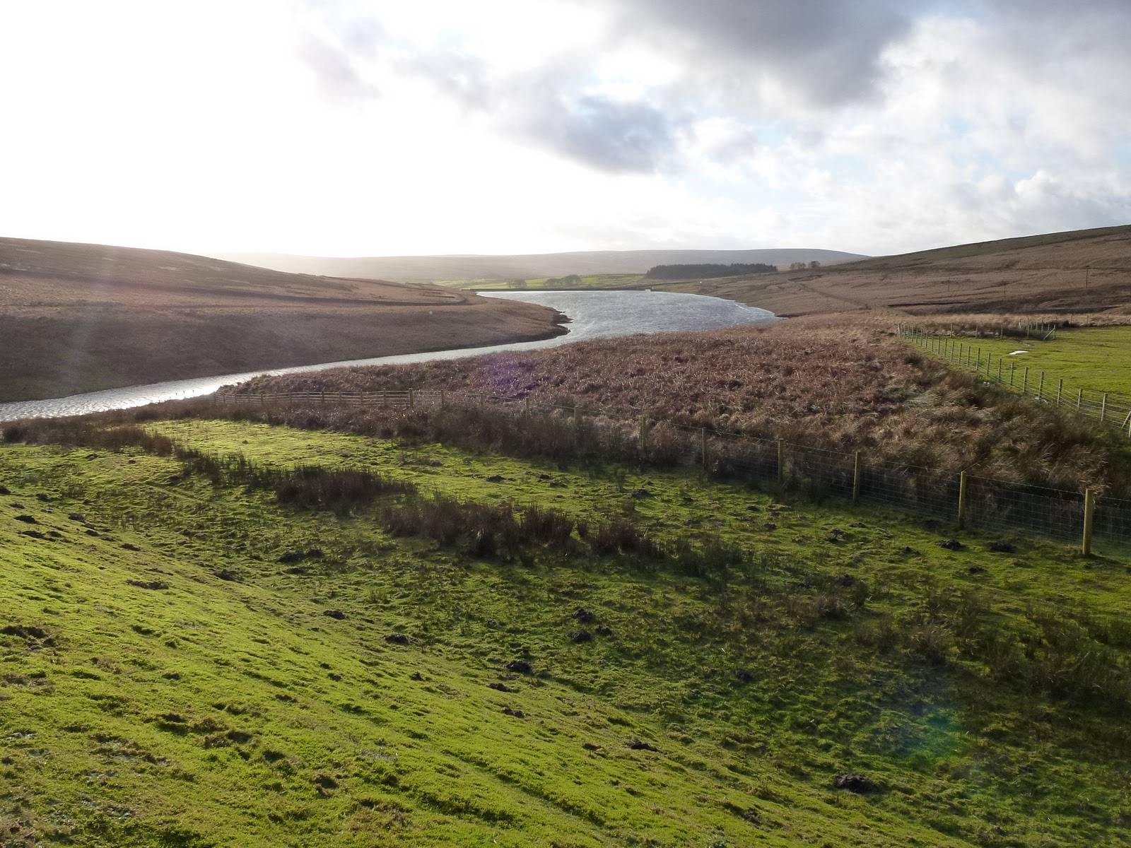
Walshaw Dean Upper reservoir
Blimey!
Terrible posture, Jak!
Intrepid river crossers
This little sign brought on spontaneous praying!
Walshaw Dean Middle reservoir
Walshaw Dean Lower reservoir
Blackstone Edge reservoir on the way home or as we call it – The Sea

[googlemaps https://maps.google.com/maps?f=q&source=s_q&hl=en&geocode=&q=Walshaw+Dean+Lower+Reservoir,+Wadsworth,+Calderdale+District,+United+Kingdom&aq=1&oq=walshaw+dean&sll=54.7,-3.05&sspn=0.071024,0.241356&t=p&ie=UTF8&hq=&hnear=Walshaw+Dean+Lower+Reservoir&ll=53.793452,-2.063971&spn=0.01521,0.025749&z=14&iwloc=A&output=embed&w=300&h=300]

Please visit Map and Compass and learn how to interpret a map with me and my navigation partner, Cath.

css.php