Cragg Vale 9th July 2011

Carol and I went for a very short evening walk before dining at the Hinchliffe which has a new chef and a new, more expensive menu. They had some some desserts which included caramelised fennel and one with black pepper so I just had a bit of ice cream whilst realising that I’m quite conventional. I started thinking I almost prefer their sister outfit Aux Delices in Mytholmroyd, especially as the chef from the now defunct Millbank works there.

We came across this fairly foolish young grouse, who seemed like he’d knocked a bit too much back. Made for some fun photos.

Green lane leading to the Hinchliffe
Dead casual
Less casual just squinting
Mine’s a double
Add caption

[googlemaps https://maps.google.com/maps?f=q&source=s_q&hl=en&geocode=&q=cragg+vale&aq=&sll=54.069208,-1.999407&sspn=0.036062,0.120678&t=p&ie=UTF8&hq=&hnear=Cragg+Vale,+United+Kingdom&ll=53.703058,-2.000456&spn=0.015243,0.025749&z=14&iwloc=A&output=embed&w=300&h=300]

Please visit Map and Compass and learn how to interpret a map with me and my navigation partner, Cath.

10/10/10 Oxenhope and Haworth

I met up with Babs and Cath at Oxenhope station. We’d all arrived a bit early so we had warming drinks on the train. It was fun to sit on those old loosely sprung seats, took me back. I availed myself of the facilities and squeezed myself into the train cubicle, I don’t recall them being such a tight fit! However once inside, they’d also squeezed in a proper size loo and wash basin.
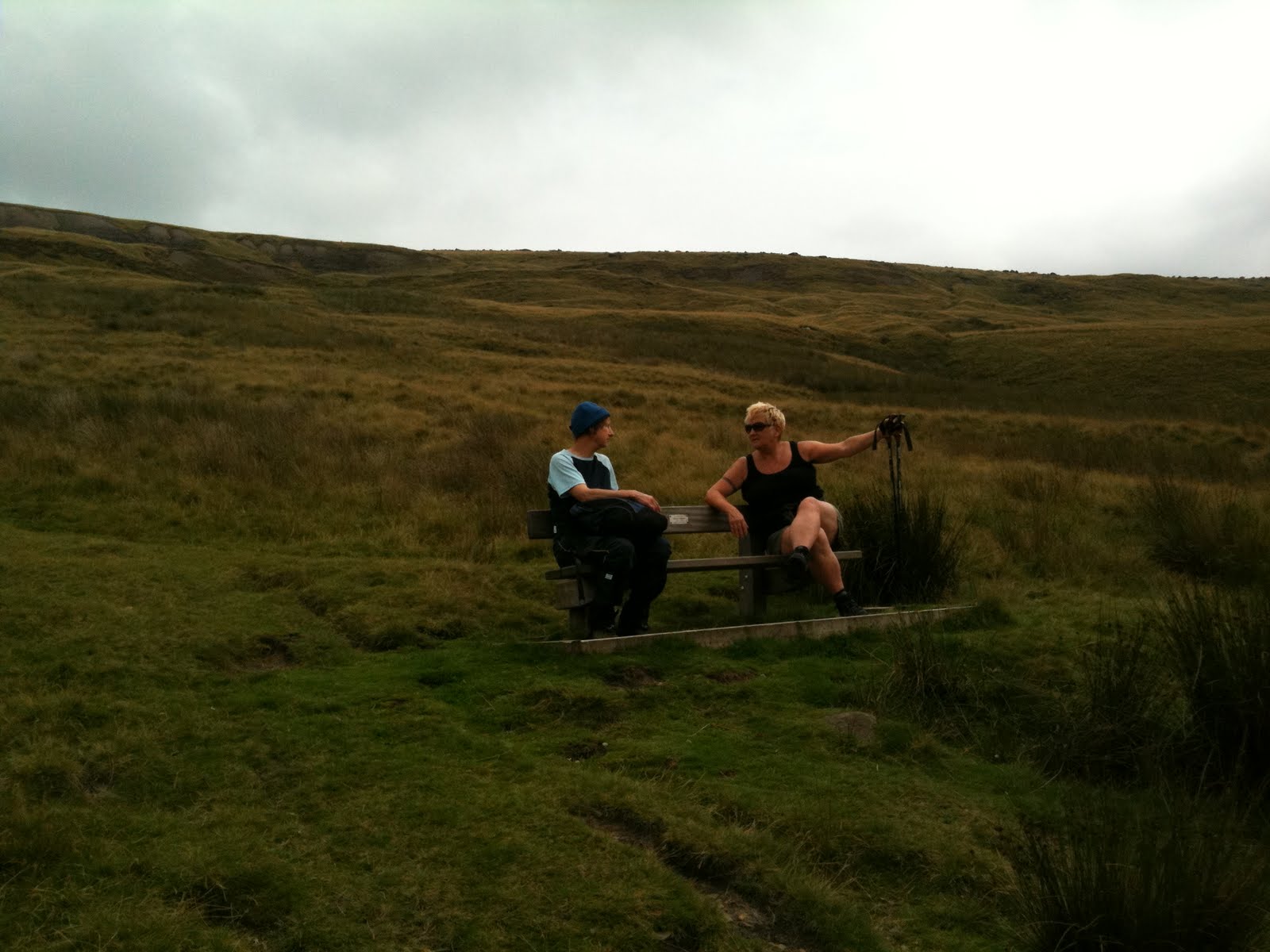
After a small detour to look at some Farmers’ Market type stalls (all 4 of them) just outside the station, purchasing of plants and pickles, we set off with Babs leading the way. Cath and I made a pretence of following on the map but after a short while I just relaxed and enjoyed being led for a change. Weirdly it’s much harder to write about the route not having pored over it on the map, especially with a 2 week gap.
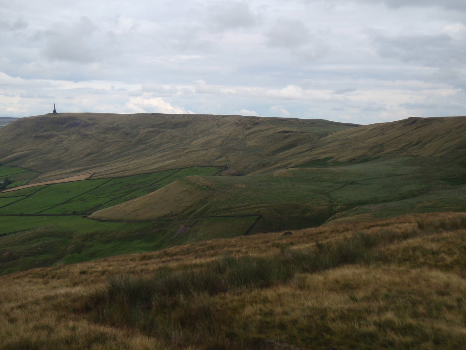
We followed part of a route that Babs and Cath had run about 3 weeks previously. Frankly I found it quite energetic enough walking it so how they ran it is beyond me.
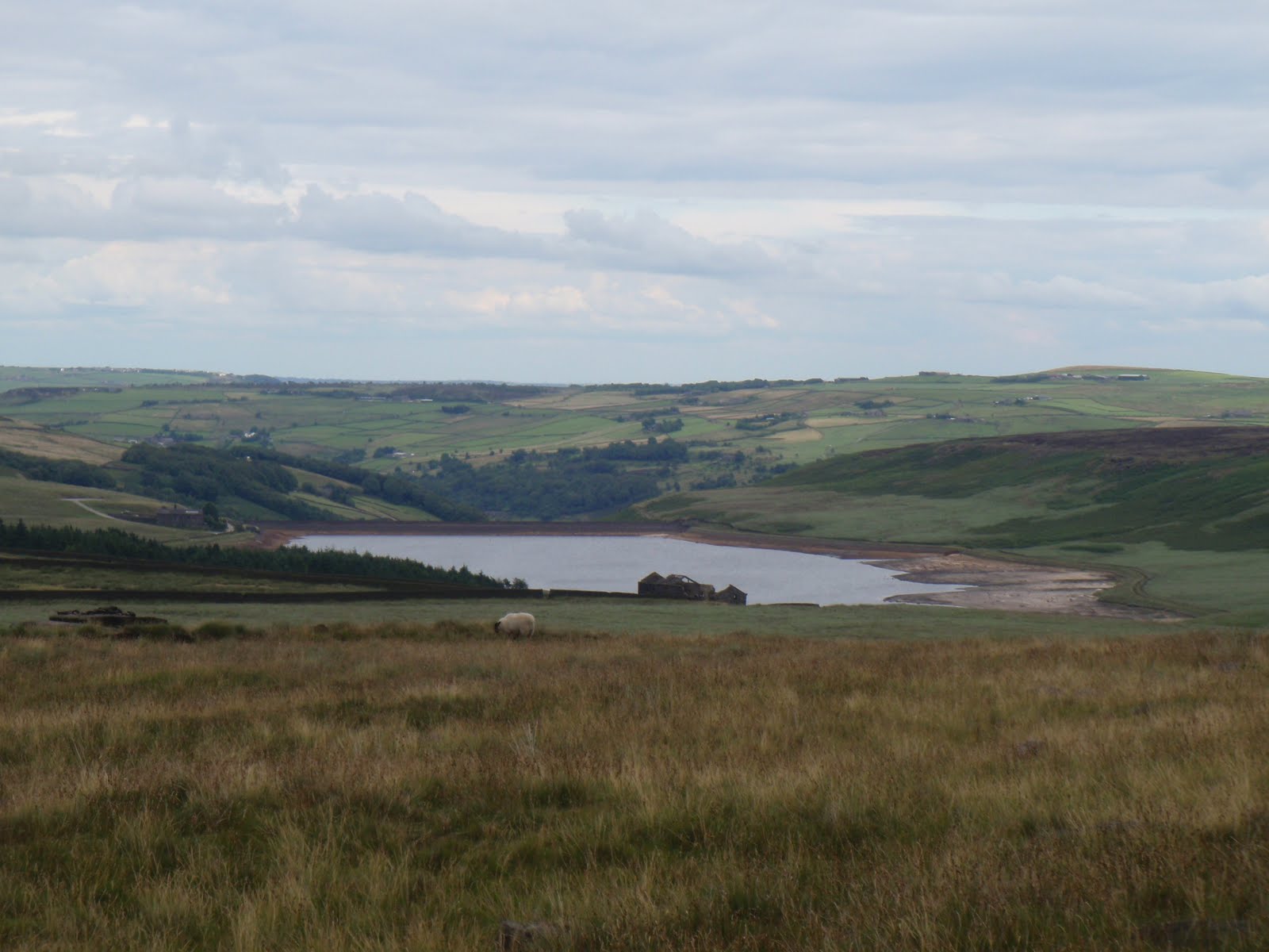
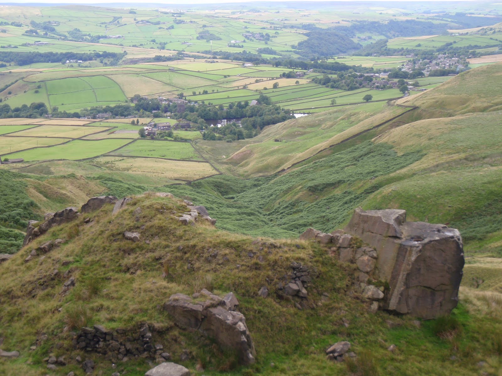
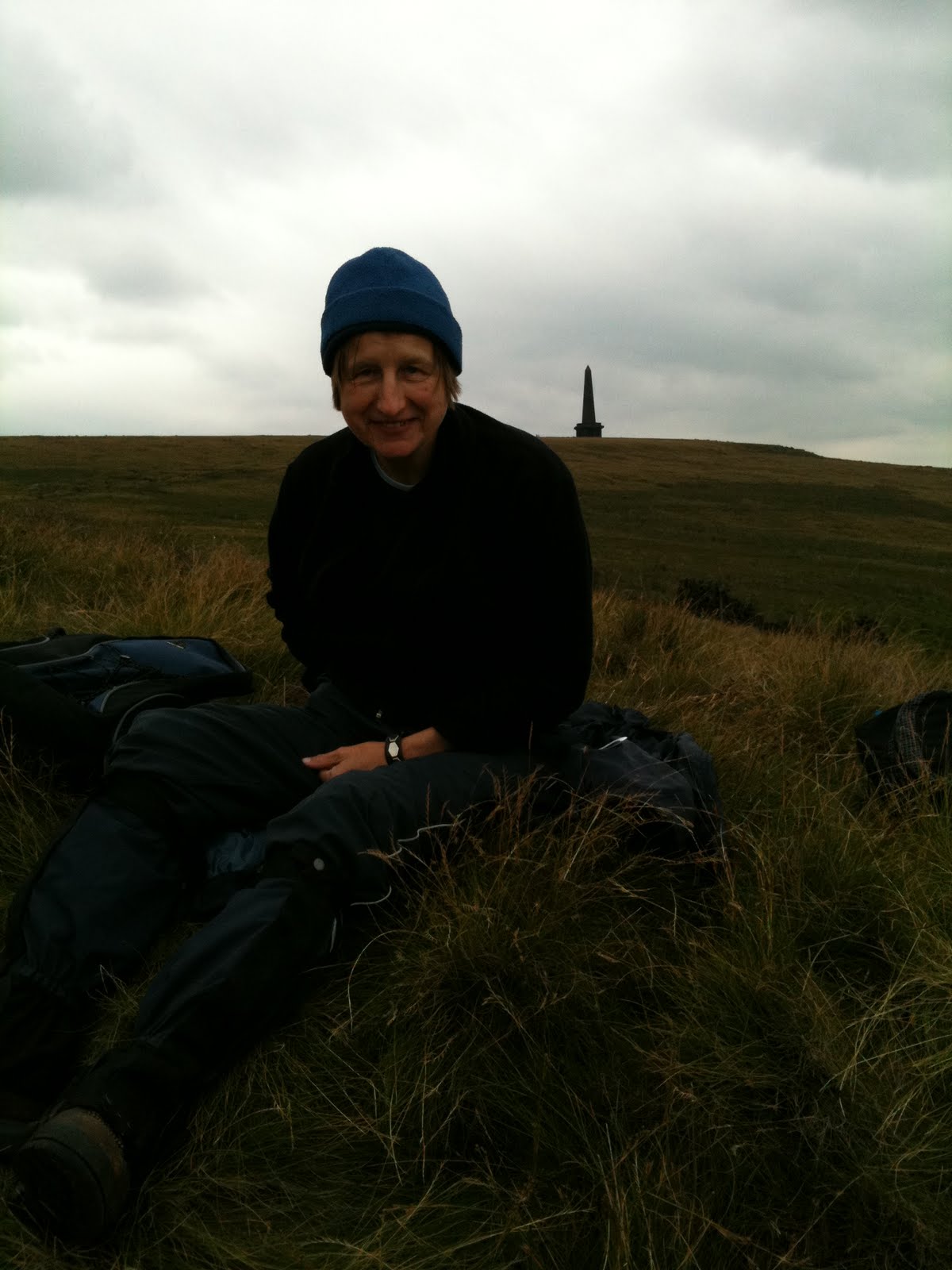
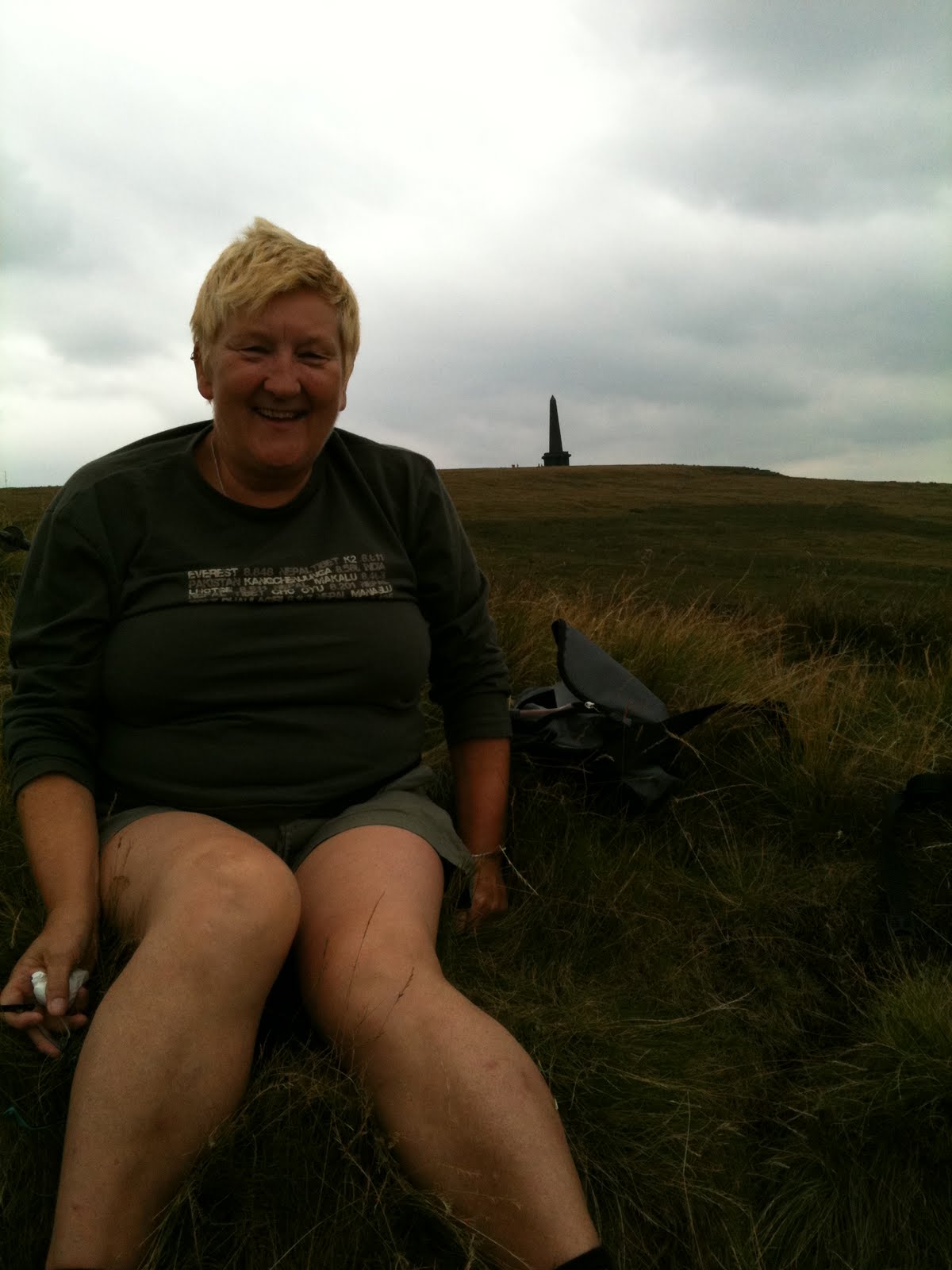
I know we went up to a reservoir and then stopped for lunch before ascending a little hill from where we dropped down into Haworth.
Once there we turned into instant shoppers although Babs whizzed us along to her favourite cafe where she seemed to be on very good terms with the proprietor. We had drinks and cakes to fuel us up for the walk back to Oxenhope, this was very quick after we’d followed the walled paths past the cemetery.
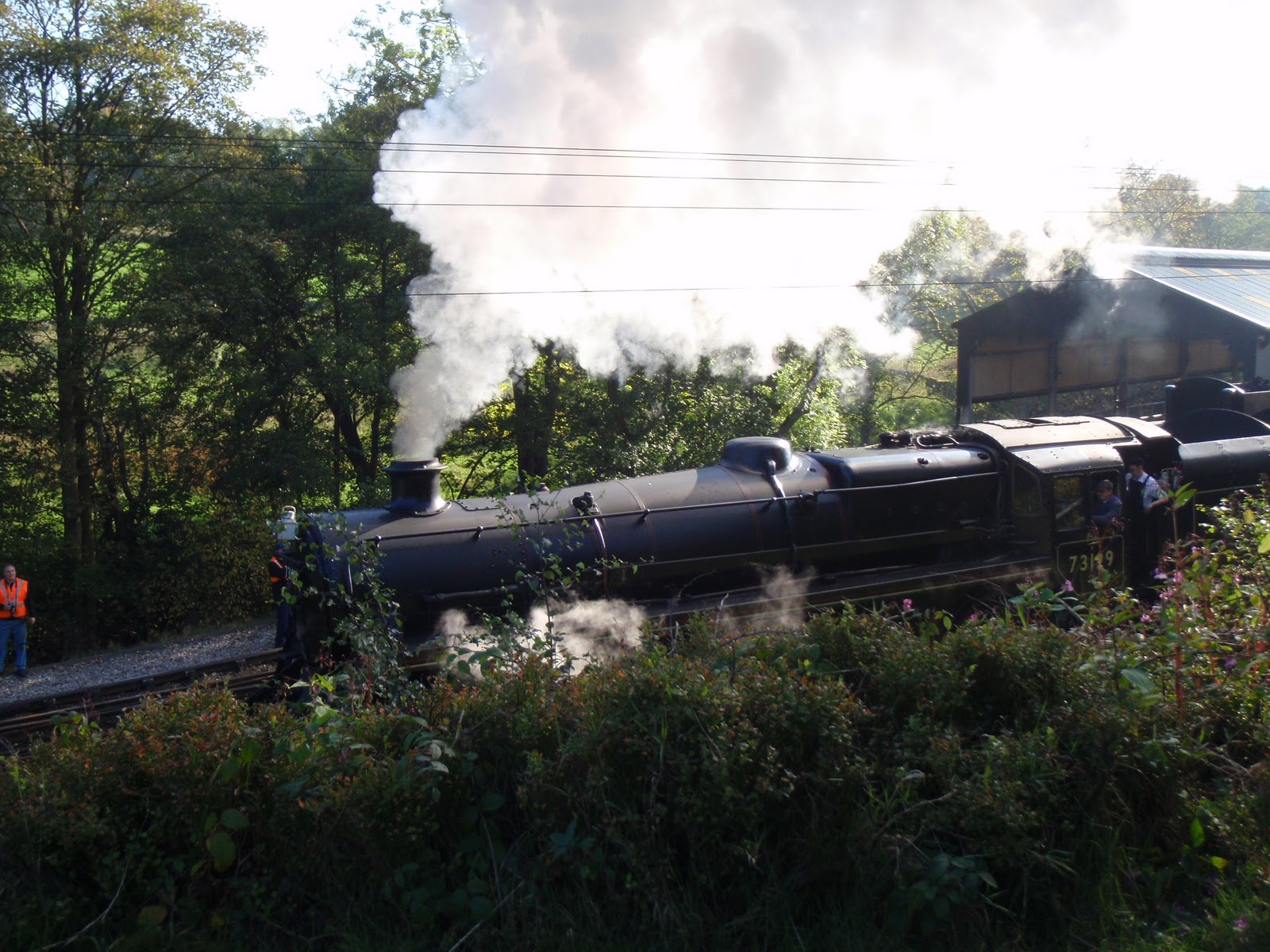
Back at the station, Babs displayed a startling enthusiasm for the steam trains. Far be it from me to call her a train spotter, but basically if the cap fits…! It was nice to see all the old trains and the entire walk was done with an aural accompaniment of train whistles as we tracked around the hills. Very Railway Children, although we must all be thankful that none of us was wearing red flannel pants.
I had a lovely day with my old pals and the weather was great too.

Toot toot
The shape of things to come!
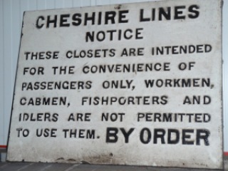
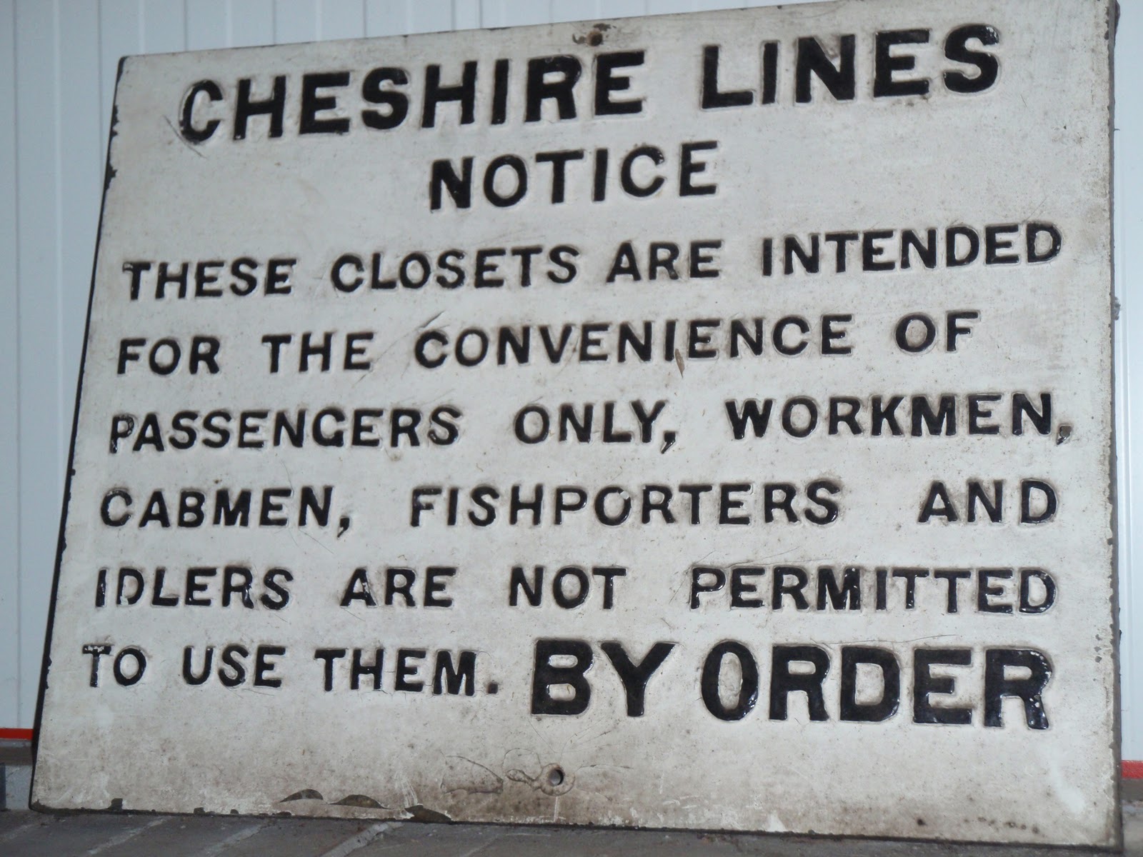
No idling in the closet!

[googlemaps https://maps.google.com/maps?f=q&source=s_q&hl=en&geocode=&q=oxenhope&aq=&sll=54.672837,-3.030612&sspn=0.015634,0.052314&t=p&ie=UTF8&hq=&hnear=Oxenhope,+West+Yorkshire,+United+Kingdom&ll=53.811903,-1.950588&spn=0.030407,0.051498&z=13&iwloc=A&output=embed&w=300&h=300]

Please visit Map and Compass and learn how to interpret a map with me and my navigation partner, Cath.

Stoodley Pike 01 August 2010

Finally I did a walk I’ve had dreams of doing for years. Namely to walk along the ridge from the Pike to Chris’s house. I parked in the spot just below her house and took the path that goes up behind it and goes through Knowle Farm with its cattery, hens and peacocks. Continued to cross the Pennine Bridleway and then 400m further on took a very indistinct left fork to take me to the far corner of Gaddings Reservoir. I duly climbed the steps to check on the water level and it was not too bad, nothing like some of the reservoirs I’ve seen of late. Walked along the top parapet to the small beach at the corner and then along the wall of what looks like an ex reservoir. This then follows a drain along the edge of the cliff and basically wiggles around with the contour. The path eventually joins the Pennine Way on which it remains until Stoodley Pike. I could see over to Withens Clough reservoir which looked nearly empty.
I hardly saw anyone apart from a few people around the Pike. It took me just over 2 hours to reach the pike. I had a drink and then set off straight back as I was hungry and had weirdly forgotten to bring anything at all to eat. I made a good fast pace back. I had a small chat with a bloke just near Gaddings and then found he was behind me and there was no-one else in sight and this gave me the willies. I suppose it’s because it’s quite a lonely area. I set off across the indistinct path again and saw the man was still behind me. However he did have quite a big belly and so I increased my speed and managed to lose him. I fairly raced back through Knowle Farm and down back to Lumbutts Road. The return trip took just over and hour and a half. I did think about whether it would be possible to do it by bike but reckon it would be pretty uncomfortable let alone getting the ruddy thing up the Pike in the first place.

Withens Clough
Lumbutts

Gaddings

[googlemaps https://maps.google.com/maps?f=q&source=s_q&hl=en&geocode=&q=Stoodley+Pike+Monument,+Todmorden,+United+Kingdom&aq=0&oq=Stoodl&sll=54.52257,-3.381656&sspn=0.035667,0.120678&t=p&g=Ennerdale+Water,+Ennerdale+and+Kinniside,+Copeland+District,+United+Kingdom&ie=UTF8&hq=Stoodley+Pike+Monument,&hnear=Todmorden,+West+Yorkshire,+United+Kingdom&ll=53.715301,-2.07058&spn=0.015238,0.025749&z=14&output=embed&w=300&h=300]

Please visit Map and Compass and learn how to interpret a map with me and my navigation partner, Cath.

Todmorden Moor 27th July 2010

The tenth anniversary of my mum’s death. Anita and I resumed our evening walks, this time parking at Sourhall up above the station and the sports centre. We parked next to the pub which is now defunct and walked onto Tod moor. Lots of notices saying “no tipping” and for most of the walk it was pretty clear until we got to where the old mine had been and then there was a bit of tipping.
Some knackered looking 4x4s passed us and then went off to play on the slag heaps. Well I guess it’s their business what they do to their suspensions but I think they’ve been watching too many movies.
Nice short walk that was good to get A and me back into the swing of it.

[googlemaps https://maps.google.com/maps?f=q&source=s_q&hl=en&geocode=&q=Sourhall+Road,+Todmorden,+United+Kingdom&aq=1&oq=Sourhall&sll=53.715302,-2.070545&sspn=0.036369,0.120678&t=p&ie=UTF8&hq=&hnear=Sourhall+Rd,+Todmorden,+West+Yorkshire+OL14,+United+Kingdom&ll=53.714133,-2.131262&spn=0.015239,0.025749&z=14&iwloc=A&output=embed&w=300&h=300]

Please visit Map and Compass and learn how to interpret a map with me and my navigation partner, Cath.

Stoodley Pike

24th July
Lovely afternoon being teased mercilessly by my nearest and dearest. Started at Mankinholes and walked up the flagstones and across to the Pike, down via the newly gravelled Pennine Way section before turning left to return – the new path makes a huge difference to the walk, gaiters were no longer needed to get through the bog and it’s been well done, a pleasant change from the foot crunching flags on lots of the other nearby bits of the Pennine Way. Although this is quite a short walk we managed to make it last for hours!

Last of the Summer Wine!

Look at those legs!

[googlemaps https://maps.google.com/maps?f=q&source=s_q&hl=en&geocode=&q=Stoodley+Pike+Monument,+Todmorden,+United+Kingdom&aq=0&oq=Stoodl&sll=54.52257,-3.381656&sspn=0.035667,0.120678&t=p&g=Ennerdale+Water,+Ennerdale+and+Kinniside,+Copeland+District,+United+Kingdom&ie=UTF8&hq=Stoodley+Pike+Monument,&hnear=Todmorden,+West+Yorkshire,+United+Kingdom&ll=53.715301,-2.07058&spn=0.015238,0.025749&z=14&output=embed&w=300&h=300]

Please visit Map and Compass and learn how to interpret a map with me and my navigation partner, Cath.

Save

css.php