Assessment at HLWAC

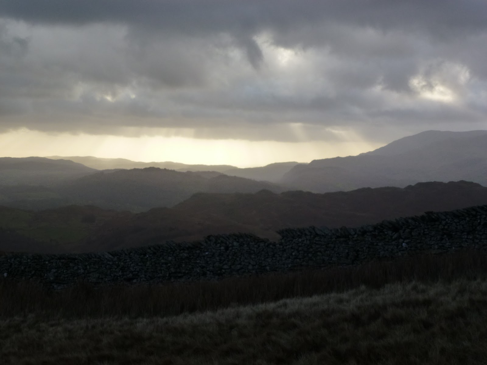
This morning I went to Hollingworth Lake Water Activity Centre for a staff recruitment day, Babs had told me about it and they said they needed people with WGL. Despite all my efforts, it had been almost impossible to get any information out of them. I’d rung up 3 times, Babs had called in on my behalf but still no letter from them. Eventually I got them to email with the details which told me almost nothing, certainly not what I needed to prepare, just that I had to be there at 10.00 and would have the opportunity to deliver and instruct a practical skills session for 15-20 mins. Sessions would be allocated on the day.
So I prepared a a 20 min introductory session to navigation and map reading. I took all the kit I could possibly need. I arrived on time and was surprised to find that I’d been given mountain biking for the morning (to do taking a bearing and warm ups) and climbing in the afternoon (more warm ups). I questioned why I was being asked to do something I wasn’t planning on delivering and eventually it transpired that most people were there for the wet activities but that they want to expand their dry activities and there were only 2 of us attending with WGL and one for mountain biking so we grouped together. I decided to go with the flow. The manager of the centre introduced himself and the staff, most of whom were wet workers and only one dry. The centre is run by Link4Life who have been contracted to run all of Rochdale’s leisure activities. This means they are reasonably well off, able to recruit, and all their income goes back into the centre.
We got a tour of the centre, which involved looking at various types of boats and hearing strange terms and acronyms which I have now forgotten. We also saw bikes and some cupboards with ropes in.
Next Al took Tony, Gill and me outside. Tony showed us how to do an “M” check of a bike and how to ride downhill. We didn’t actually go out on the bikes as it was too icy.
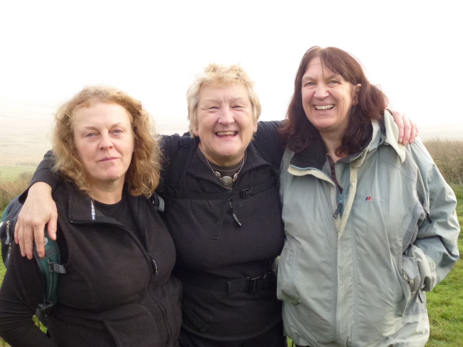
Then Gill went through how to do a grid reference and then I did how to take a bearing. I got them to do some running on the spot as usually warming up for walking is done by walking! It all seemed to go well, all 3 of us were good at explaining, involving the others and questioning.
It was then nearly 1 pm and none of us were actually needed to go and do climbing so we filled in various forms and were allowed to go. The manager, Gary, I think that was his name, said we didn’t have to do any more.
They are looking for casual staff to do evenings, weekends etc. They are also taking on permanent staff so I think this is about building up a pool of expertise to draw on as they build up the activities and skills base. They are planning to offer guided walks and teach navigation.
I started off very irritated at their lack of organisation but finished up hoping that they would offer me work as it’s very near, and they are well funded. They just need to get their IT sorted so that they have mapping software!

[googlemaps https://maps.google.com/maps?f=q&source=s_q&hl=en&geocode=&q=Hollingworth+Lake+Sailing+Club,+Littleborough,+United+Kingdom&aq=3&oq=hollingworth+lake&sll=53.715302,-2.070545&sspn=0.036369,0.120678&t=p&ie=UTF8&hq=Hollingworth+Lake+Sailing+Club,&hnear=Littleborough,+United+Kingdom&ll=53.631611,-2.10165&spn=0.030537,0.051498&z=13&iwloc=A&output=embed&w=300&h=300]

Please visit Map and Compass and learn how to interpret a map with me and my navigation partner, Cath.

Stoodley Pike 15th January 2012

When I left our house it was -2.5C and thick fog, once up on Blackstone Edge the fog lifted (usually the most foggy place always) and the sun was out and it was a steamy 3.5C.
I popped in to see Chris and hear all about her trip to Cuba. It was lovely to see her and catch up, several hours and some Cuban coffee (lovely), Cuban chocolate (very nice), Cuban music (lovely), sniff of a Cuban cigar (not so lovely, smelt a bit like drains), I drove up to the base of the Pike.
I went up the stone steps as I worked out these would be more slippery later, they weren’t too bad most of the way. I stopped at the end of the wall to blow my dripping nose and was passed by a couple, the female of which was teetering down each step and who informed me that it was “like the everglades up there”. I know I am deaf in one ear but I was so staggered by this that it struck me dumb, just as well really. Here is a picture of said “everglades”, it was funny because in a very weird way it sort of made sense, at least I could imagine her gliding gently down the slope forever ….

The “Everglades”

It was a nice short walk right at the end of the day. I reached the Pike and came down the steep side which has become badly eroded since I was last there, which isn’t that long ago.

Returned via Cragg Vale, two black deer silhouettes crossed the road in front of me quite slowly, and back up onto Blackstone Edge which had recovered its fog.

[googlemaps https://maps.google.com/maps?f=q&source=s_q&hl=en&geocode=&q=Stoodley+Pike+Monument,+Todmorden,+United+Kingdom&aq=0&oq=stoodley+pi&sll=54.7,-3.05&sspn=0.071024,0.241356&t=p&g=High+Pike,+Caldbeck,+Allerdale+District,+United+Kingdom&ie=UTF8&hq=Stoodley+Pike+Monument,&hnear=Todmorden,+West+Yorkshire,+United+Kingdom&ll=53.715301,-2.07058&spn=0.015238,0.025749&z=14&output=embed&w=300&h=300]

Please visit Map and Compass and learn how to interpret a map with me and my navigation partner, Cath.

Save

The Walshaw Dean reservoirs

At last, a rainless day so Carol and I met up with Babs at a grid reference on the road at Widdop. We had actually planned this in advance and selected today as the only really good looking day on the forecasts. It didn’t rain at all while we were out and there was quite a bit of sun but it was incredibly cold and we met some really nasty wind chill on our way back.
We walked along the west side of the Walshaw Dean reservoirs – Lower, Middle and Upper. I’ve been here a lot as it’s a good walk if you don’t want anything too challenging but has options for that if you do want it! Today we stayed with the mild side. We had a bit of a go at natural navigation spotting which ends of puddles were more silted up, there was certainly a strong southerly wind blowing but I already knew that so we didn’t really work it out but it was good to see the puddles showing hints. We talked about trees making a tick shape as they bend themselves towards the sun. I took out my Dad’s old military compass which is a Glauser Mk IX from 1938 but it was too chilly to play about with it, too chilly to get my hands out of gloves anyway.
I’d not walked all the way to the top of Upper before so was surprised when we came to the top reservoir inlet which is a torrential river. We tried to cross it going over a gate, at least Babs and Carol watched me whilst the gate swung too and fro and I struggled across to the other side, at which point we all decided that perhaps we wouldn’t all do it so they just buggered off and left me dangling over the torrent!
We then crossed the river a bit lower down where it was a bit less deep and looked for a suitable lunch location. We sort of huddled behind a wall but it was bitterly cold and so our lunches were fairly swift. I’d brought along a flask of coffee for which I was very grateful. Just for Kate, Babs had curried tuna, I had turkey and mustard and Carol had ham. We all had some chocolate. Babs had Lady Grey tea.
We tried to do a circuit of the reservoirs but the next hurdle was a big ravine leading to an enormous lagoon so we back tracked skipping across the river again. Then it was just going as fast as we could to get back to the cars. The last 500m seemed to be the coldest.
Despite the cold we were all glad to have been out.

I love these walls
Walshaw Dean Upper reservoir
Blimey!
Terrible posture, Jak!
Intrepid river crossers
This little sign brought on spontaneous praying!
Walshaw Dean Middle reservoir
Walshaw Dean Lower reservoir
Blackstone Edge reservoir on the way home or as we call it – The Sea

[googlemaps https://maps.google.com/maps?f=q&source=s_q&hl=en&geocode=&q=Walshaw+Dean+Lower+Reservoir,+Wadsworth,+Calderdale+District,+United+Kingdom&aq=1&oq=walshaw+dean&sll=54.7,-3.05&sspn=0.071024,0.241356&t=p&ie=UTF8&hq=&hnear=Walshaw+Dean+Lower+Reservoir&ll=53.793452,-2.063971&spn=0.01521,0.025749&z=14&iwloc=A&output=embed&w=300&h=300]

Please visit Map and Compass and learn how to interpret a map with me and my navigation partner, Cath.

Low Pike, High Pike, 27 November 2011

Parked up in Ambleside for £6 for 5 hours. Bit pricey. I left the car park just after 11.00 and quickly found my way, always the hardest bit when starting off in towns. The Nook takes you along a lane which has several boarded up old buildings which appeared to be part of the University of Cumbria. It’s about a kilometre to Nook End Farm which also appeared uninhabited but they had left their outside lights on. You have to walk through the farm and then very soon you are at Lower Sweden Bridge which is to do with swithins although other than the saint, I’m not sure what they are. I did a bit of leap frog with a couple who annoyed me because I didn’t want to do that, but I soon left them behind. Going to the gym every day for the last week has paid dividends and I felt quite fit. It was pretty cold and windy but I stayed on the east side of a very tall wall which goes all the way up and it was a good windshield.
I was looking for what Wainwright describes as a “Bad Step” but didn’t see it. It made me think of the Hillary step but I’m not planning on going looking for that!
I got to Low Pike after a bit of scrambling and had a chocolate biscuit. I was wearing lined trousers which was just as well. I’d put them on after seeing the forecast that said on the tops the wind chill would be -15C.
Just before the land of bog I climbed a stile that had been constructed for giants, I consider I’m fairly averagely proportioned but I could hardly hold the 2 sides at the same time and the steps were also very deep. Then the huge expanse of bog which was quite hard to work through, but there are helpful signs saying “Deep Bog” and pointing the hapless walker to yet more bog. Considering this is part of the Fairfield Horseshoe, this section really needs sorting with stepping stones. I managed only to get a few footfulls. I also made a mental note not to be returning in the dark for this section.
At High Pike I got out of the wind and had my lunch of pate in a garlic pitta bread. It was still very cold with the wind. After wrapping up I decided to head back down as it was just too cold and windy to be much fun, I momentarily pondered how to deal with frost bite but soon warmed up my hands with the exercise. As I had remarked to Becks only the day before, on her not reaching the top of Cadair Idris, “the mountain will always be there”. Except of course if you live in the Appalachian mountains where mountain top removal has being going on for the last 50 years. I just find this thought so upsetting. After Carol and I watched Bladerunner last weekend, I checked up to see what Daryl Hannah was up to these days and found that she has been arrested several times for protesting about various environmental outrages including mountain top removal. Oh and Bladerunner is dire. What a gloomy film, it hasn’t improved in the 30 years since I last watched it.
I would probably have done more if it had just been one of those factors (cold or windy). I only had a few little bits of rain on me during the walk. My new hat works very well as it covers my ears, mad that I’ve been wearing an ineffective hat for so long.
On the way down I came across a few pounds and 3 keys. I was in a bit of a dilemma as to what to do with these and in the end I left them there on the grounds that if I had lost mine, I would retrace my steps to find my things. I hope the people to whom I think they belonged did that. I decided that taking them to the police probably wouldn’t help much.
On my return route, I located the “Bad Step” as I took a slightly different route and then came upon it and was glad that I was just going down it as it would have been quite hard to get up it, not possessing the giant arms and legs.

Back at the car, I changed my footwear and then went to the loo in the car park and although it was still light outside, there was no light inside so this was a real lot of fun. I had a quick look in the shops but failed on that particular mission so went home for a warm up.

Looking back at Windermere
The wall
Looks innocuous but made for giants
Back towards Low Pike
My picture to echo Wainwright’s drawing of the same. Note horizontal courses of stones.
Ray of light
Low Pike again
Strata
Blasted bog
Oh yes, and where exactly is the path?
The Bad Step looking really harmless
My actual ascent, not having noticed the Bad Step
Some colour at the end of the day

[googlemaps https://maps.google.com/maps?f=q&source=s_q&hl=en&geocode=&q=High+Pike,+Caldbeck,+Allerdale+District,+United+Kingdom&aq=0&oq=high+pike&sll=54.316667,-3.216667&sspn=0.017923,0.060339&t=p&ie=UTF8&hq=&hnear=High+Pike&ll=54.700027,-3.050079&spn=0.029759,0.051498&z=13&iwloc=A&output=embed&w=300&h=300]

Please visit Map and Compass and learn how to interpret a map with me and my navigation partner, Cath.

Withens Clough 20th November 2011

Babs, Chris, Jay and I met up at the Hinchliffe in Cragg Vale. I was hoping the Hinch would be open as I fancied a coffee but they don’t upon until midday on a Sunday.
Babs led our walk and mostly she led us into bog! We set off going down towards the river which is the Turvin Clough. This was the first boggy stretch of many. Very lovely down by the river where there is an old clapper bridge. The sun came through the trees at this point and then we went up a long stretch of stone steps onto the moor. We stopped for a bit, near Tenter Wood, Babs told us how the expression “being on tenterhooks” comes from the fabric having to be hung out using hooks made of glass as metal or wood would stain the fabric.
We ate cake that Chris brought which was a bit like a Christmans pudding cake with yummy fruit and nuts in. The sun went in and the mist came down. It didn’t really manage to lift again so we spent most of the time in the cloud, very good for nav skills practice!
Along the contour for a good kilometre until we arrived at the end of the reservoir. There is still a lot of work going on here and it doesn’t look very nice at the moment but it should be done by the spring. I was a bit upset by how horrible it looks as this is one of my favourite places to walk. I suggested that it would be nice if Yorkshire Water resurfaced the road up from the Hinch to the reservoir and we had a little grumble about this, I’ve looked this up and it seems they have filled in the potholes and cleared the gullies. So I should think!
We walked around the reservoir and then headed off up the hill going through some more bog.
Stopped for our second meal break, this time it was lunch for me, a pitta with hummous. I produced my homemade flapjack and this went down fairly well. Babs was a little surprised to find that she could eat it despite almond essence and sultanas!
Around the edge of what Chris and I know to be an extremely boggy wood, but still managing to be quite boggy along its perimeter, then round to the road for a short stretch. Down a nice track and then the road, going past Cragg Old Hall and back down to the Hinchliffe.
In the Hinch, we had hot chocolates and coffee. Since getting home through the thick fog, I’ve looked up the Hinchliffes and found this gem about them.
Our walk featured a lot of bog, lots of walled in packhorse tracks and lots of paths on the ground that aren’t on the map.

Clapper bridge
Shadows in’t mist
Blue, blue Withens Clough
Babs (she said she was smiling), Chris, Jay
Rashers
Cragg Old Hall

[googlemaps https://maps.google.com/maps?f=q&source=s_q&hl=en&geocode=&q=Withens+Clough+Reservoir,+Hebden+Royd,+Calderdale+District,+United+Kingdom&aq=0&oq=withens+clough&sll=54.370611,-3.1215&sspn=0.0716,0.241356&t=p&ie=UTF8&hq=&hnear=Withens+Clough+Reservoir&ll=53.702804,-2.029467&spn=0.015243,0.025749&z=14&iwloc=A&output=embed&w=300&h=300]

Please visit Map and Compass and learn how to interpret a map with me and my navigation partner, Cath.

Save

css.php