Bath 7th May 2011

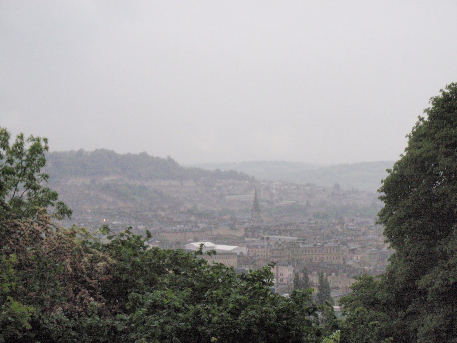
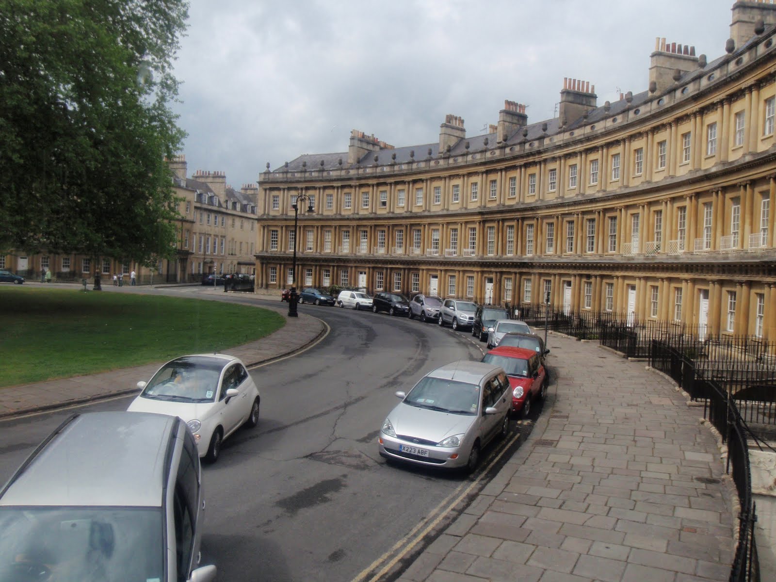
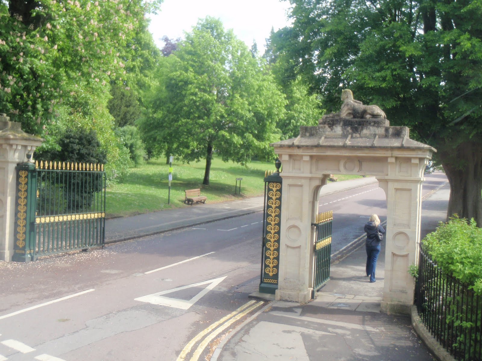
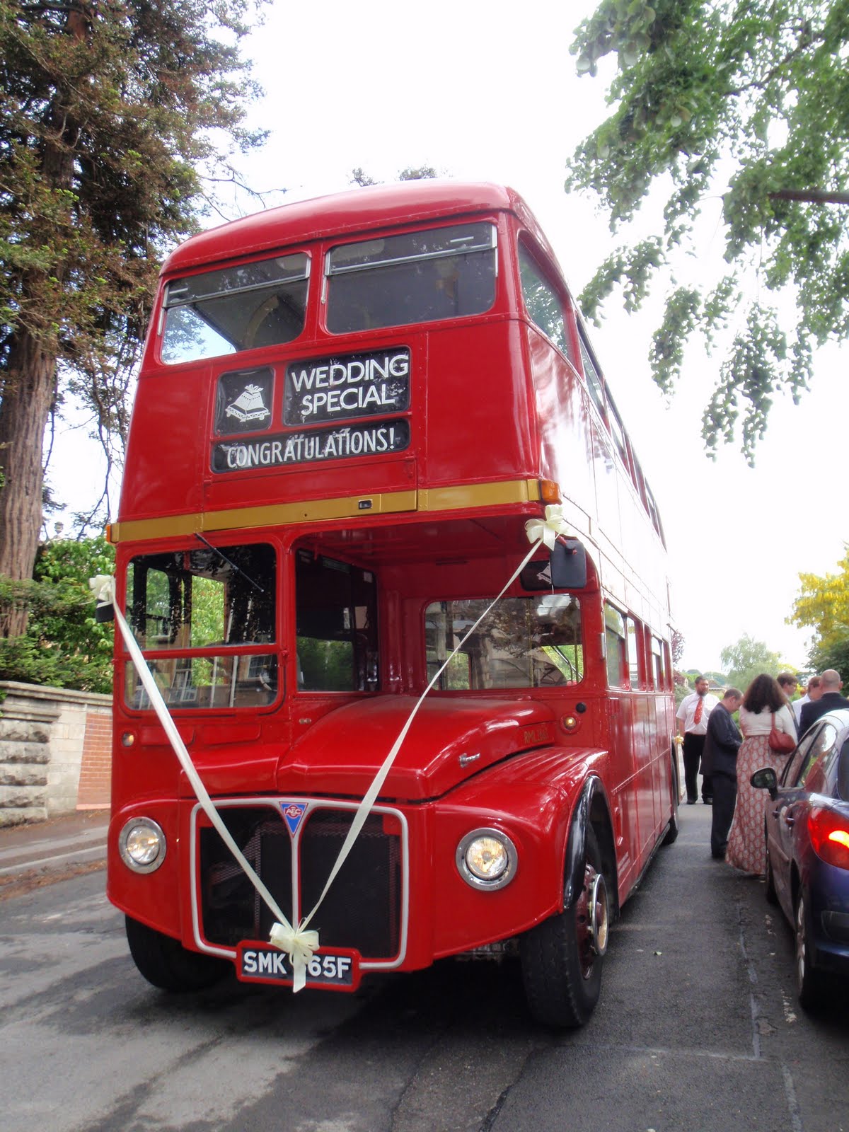
We’ve just got back from Bath where we went to a family wedding which was really lovely. Part of the fun was an old London bus which transported us from the Guildhall where the ceremony took place to Oldfield Park for the reception and included a proper tour of the city. These are my photos from the bus. We also went for a walk in the rain in the evening and looked at St. Mary Magdalen chapel on Holloway, which is very ancient and then up to Beechen Cliff where we would have had a great view if it hadn’t been for the rain.

The Circus
Entrance to Victoria Park
Fares please!
St. Mary Magdalen Chapel, Holloway
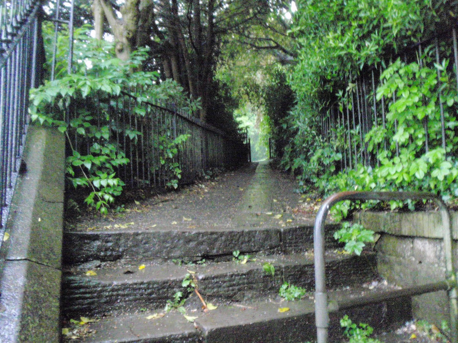
Dingly dell up to Beechen Cliff
From Beechen Cliff

We stayed in the Hollies, a rival establishment to Athole House, it was fine, bed comfortable, quiet despite being on the main road and run by a couple of ageing queens who are just a tad pernickety (this is how you operate the curtain, this is where the light switch is….) and not a patch on Athole. They didn’t supply fruit tea or provide me with a croissant when asked, however Josephine and Wolfgang from Athole House did give me a fruit tea or 3 which were very nice!!

We ate in the Hop Pole on the Friday evening and had just as nice a meal and customer service as before, the staff are noticeably friendly and obliging. Also had a small salady meal on the Saturday evening at Ritchers Bistro which had similarly friendly staff, in fact even passers by in Bath are friendly!
Please visit Map and Compass and learn how to interpret a map with me and my navigation partner, Cath.
Grisedale Pike 010511

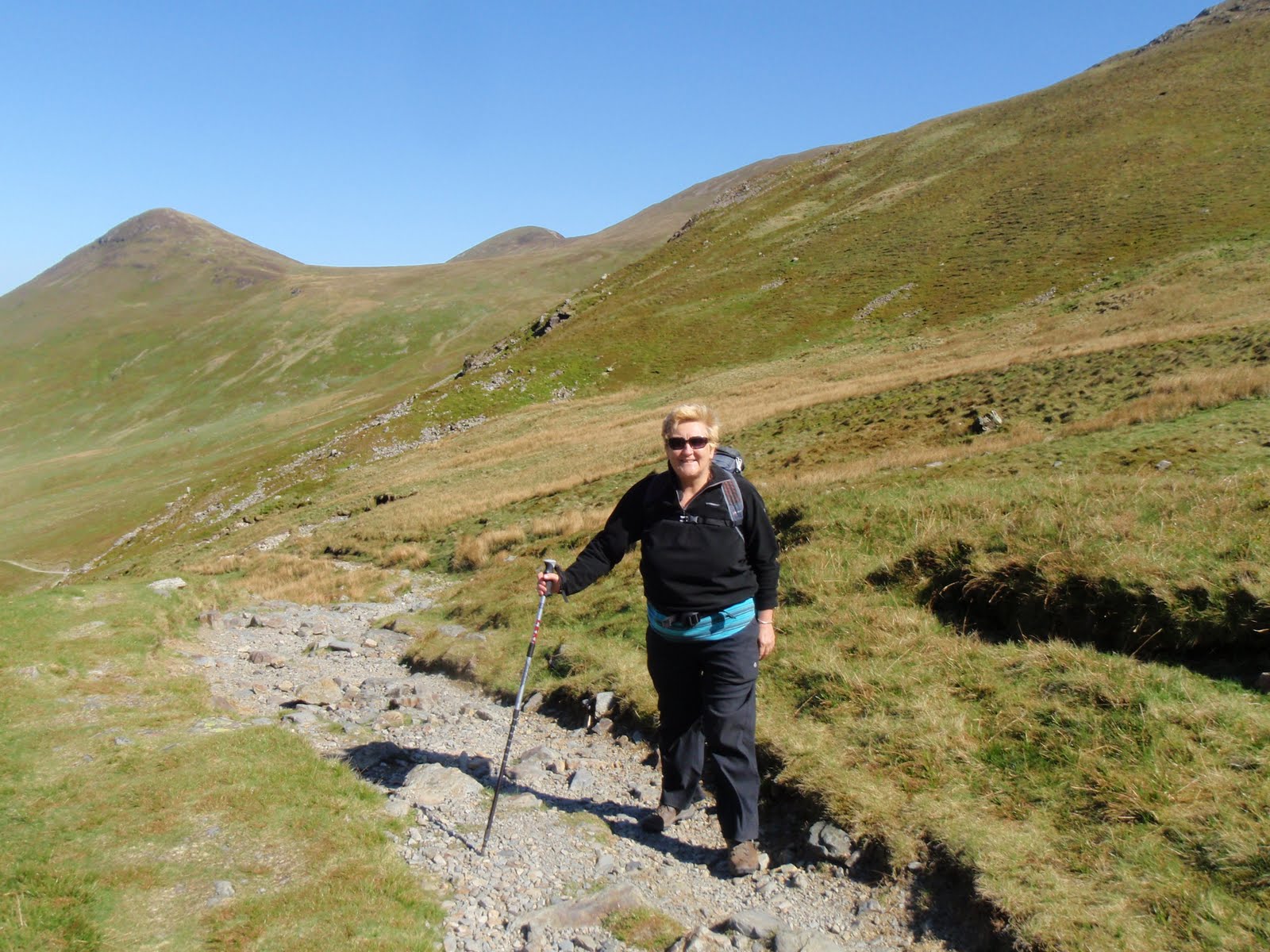
Woke up nice and early and got the coffee on. We piddled about a bit and had our yoghurt and compote and muesli breakfast, followed by more coffee. Before long we were on the way to Braithwaite via the Whinlatter Pass. We parked up off the road as by this time the car parks were quite busy. A short hop up to the start of the walk at the first car park. Up steps for a steep section and then a fairly leisurely meander along until Sleet How. There were a few other parties on the fell, including a group carrying up a rather large baby.
At the steep section near the top it had become increasingly windy and gusty. A woman coming down seemed a bit antsy and then a young couple coming down said it was even worse at the top. We were at this point nearly at the top. As we got up both Chris and I had to get down on all fours to get our centres of gravity as low to the ground as possible. I used my pole to get more anchorage too. We made it up and then took respite against the wall of rock on the summit. The summit is very pointy and fortunately we weren’t sharing it with anyone. However thanks to bending so low, my map, which had been secured by only my rucksack belt, had taken off in the wind, never to be seen again. I was sorry about this, as the map case had been a present from Carol but also because I didn’t like not having the map.
After we had got our breath and wits back, we made our way down to the shelter for lunch, samosa for me, gala pie for Chris and shared some salad. I had brought Mr Wainwright up on this walk, despite his weight and this helped us with mapping.
We decided not to carry on to Hopegill Head as it was too windy. So instead wound our way down the top of the valley and back past old mine workings to Braithwaite along a long miners’ track.
We came out at the other side of the car park from which we’d started, back to the car and then drove it up to the now nearly empty car park and brewed up a cup of tea and finished off our cake!
Returned home stopping at Tebay for more supplies.

I have assured Carol that we did make a sensible decision despite appearances and that our route was well designed as we had no further wind problems because of direction of travel. I can’t say the same for the party that subjected a baby to such conditions, nor for those who were descending via that route. At least the wind was pretty much pushing us against the mountain and the unpleasantness was for a very short amount of time.
700m ascent
Quite a lot of along too but can’t measure it right this minute as have no map!
Please visit Map and Compass and learn how to interpret a map with me and my navigation partner, Cath.
At the Bradleys’ camp site
Grisedale Pike that way
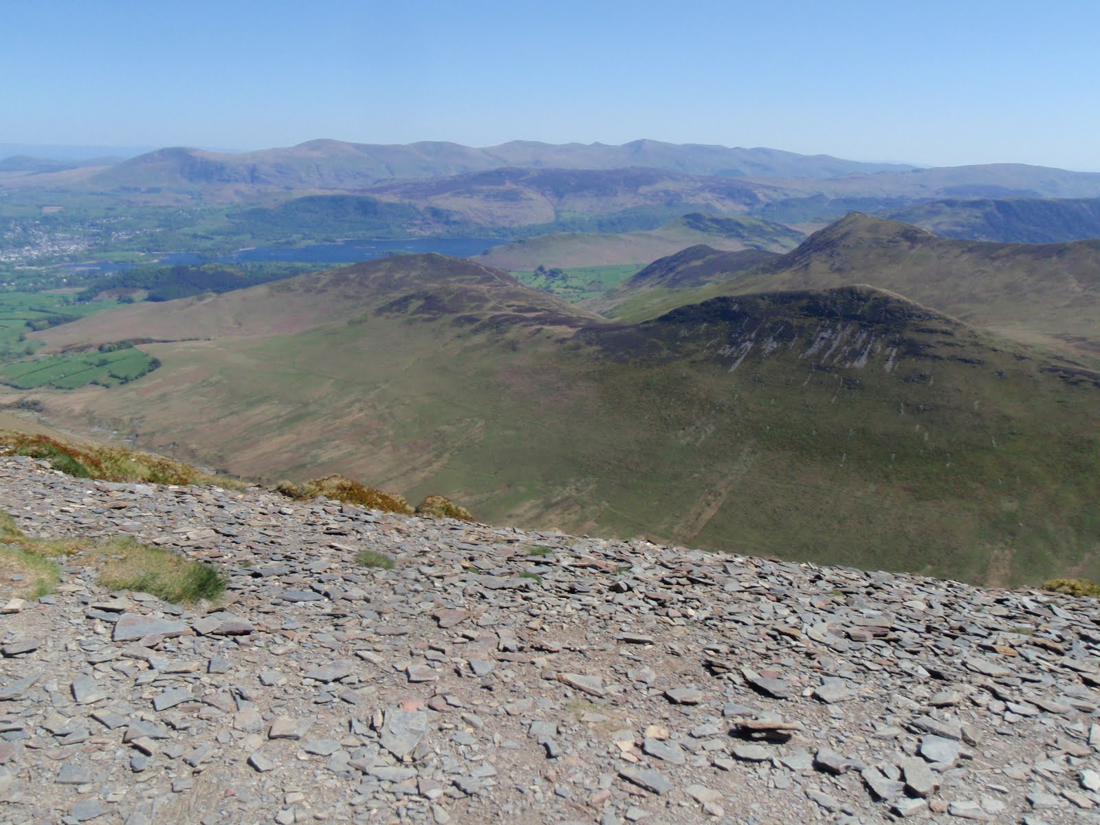
From the summit, holding on tight to camera
Safe in the shelter
Wind woman, in more ways than one!
Swirly path down
Chris descending
We were just there
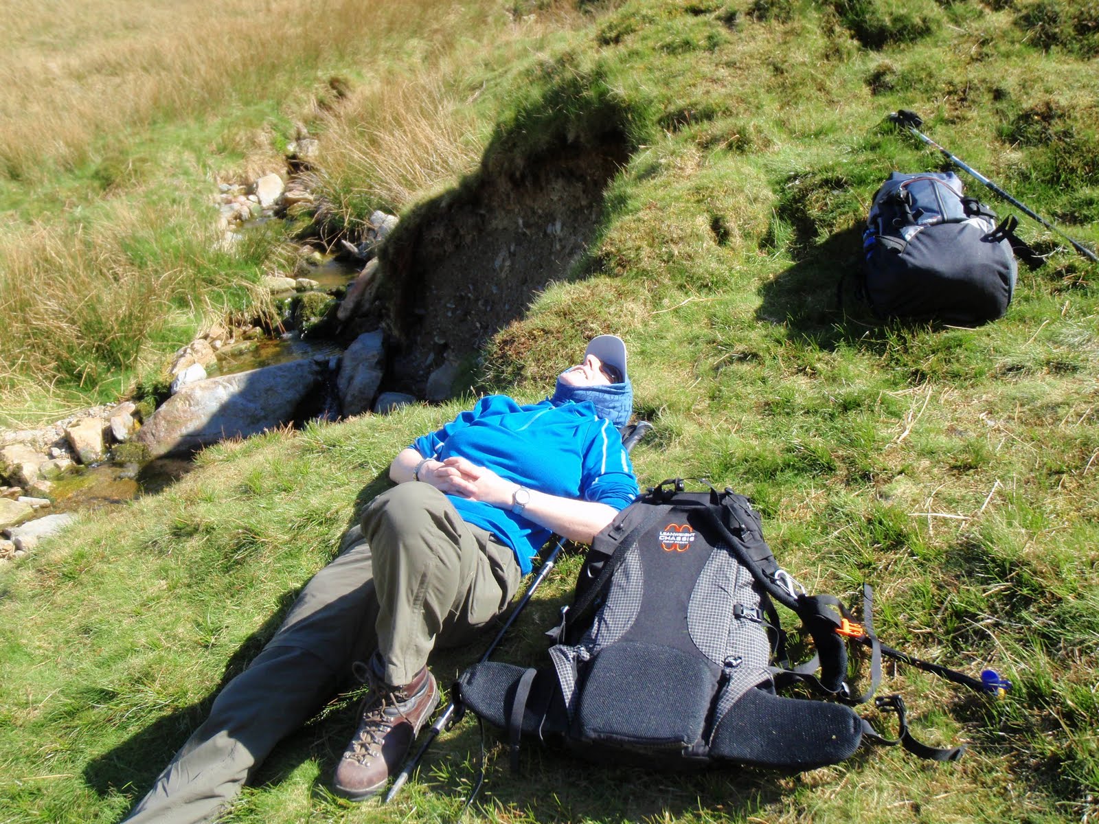
Wake me up when we get down
I know you are laughing even though my eyes are shut!
We were up there too
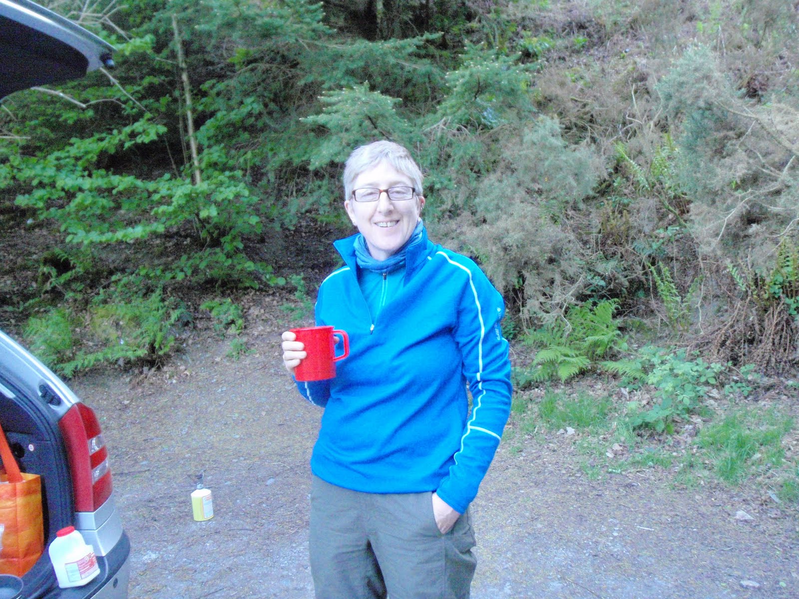
Nice cup of tea, Gromit
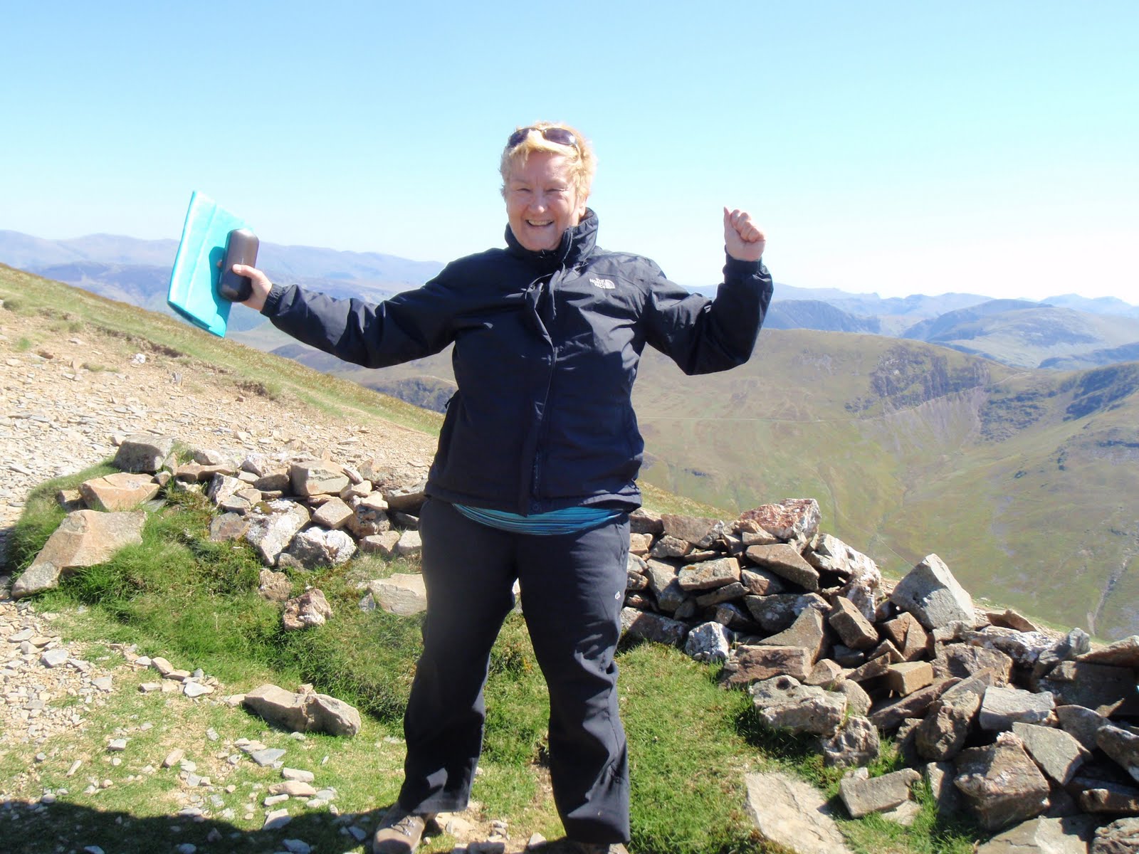
Wow, another big achievement!

Please visit Map and Compass and learn how to interpret a map with me and my navigation partner, Cath.
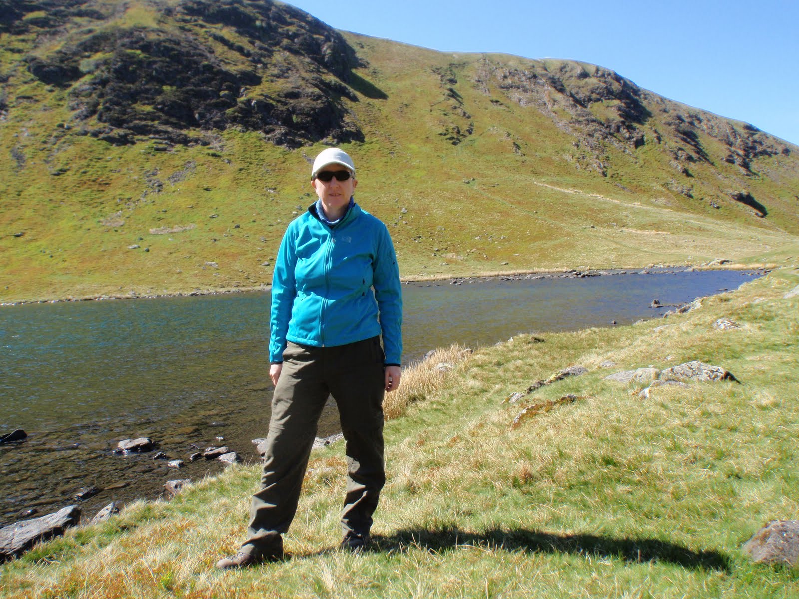
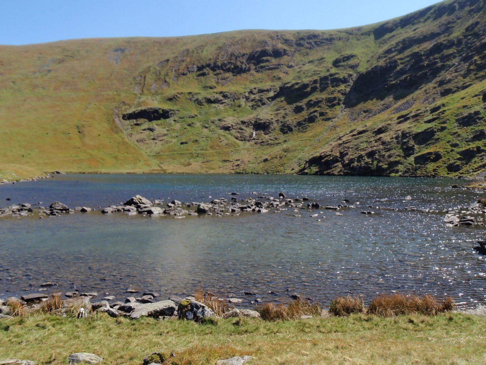
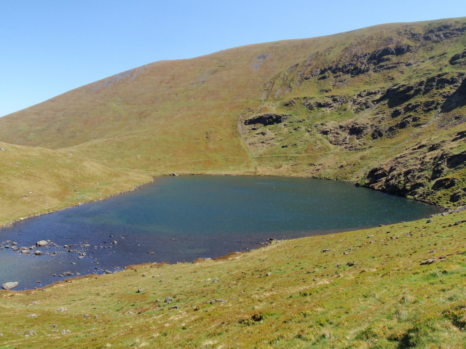
Bowscale Tarn and Bowscale Fell 300411

Got up early and over to Tod by 8 to collect Chris. Left promptly, stopping at Lancaster services to stock up at M&S. A quick coffee and off to Mungisdale. Parked up, did huge amount of pfaffing and set off for the tarn. Quite windy but sunny and dry. Lunched on tuna nicoise, very nice, and watched a very foolish person going up the side of the tarn on a very difficult route where there isn’t really a path. They seemed to manage it though. We also watched a couple of other people take the route we were planning to do which looks much steeper from the bottom than when you are on it.
A little while later, we tackled it, it’s a short sharp way to the top and was fine except for being very windy which was a bit unnerving. However before long, we had reached the top and it was then a fairly short step up to the top of the fell. We came down on the other side which kept us out of the wind a bit and landed us right in the village next to the pub.
After a mix up with a cyclist taking Chris’ beer, we headed back along the road to the pub. On the way there was a national garden open so we popped in and had a lovely time, with me not knowing any plant names and Chris knowing quite a few. Mr had put various quirky sculptures round the garden so it was a bit like a treasure hunt. He clearly had an obsession about wood piles which was fine with me.
Finally got back to the car, drove round to the Bradley’s farm at Low Cock How and put up our tents in the garden on a nice flat bit of grass that wasn’t too dry so a bit springy.
Then we cooked up chicken green Thai curry and rice for dinner and ate this in the campers’ kitchen which suffered from an attack of hair, possibly dog or even horse.
A quick trip to the Shepherd’s Rest Hotel for beer, this turned out to be the wrong pub and we should really have gone to the Fox and Hounds as the Shepherds doesn’t review well. Our beer was fine. 
Totally knackered so back to the camp for tea with Chris’ special rum. 
We both did more sleeping than waking so perhaps not too bad a night really for camping.

At the tarn
Before the ascent
Bowscale Tarn
The tarn
Riding the wind

 Please visit Map and Compass and learn how to interpret a map with me and my navigation partner, Cath.
Save

Smardale Gill 290411

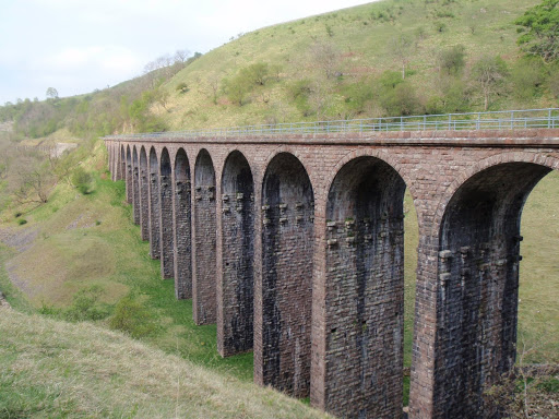
After a small breakfast of muesli and yoghurt and then a boiled egg, I left High Chapel House and parked up at Smardale Hall. There is a path through the National Nature Reserve which has pretty flowers but runs along a disused railway track and is quite boring and hard on the feet being Tarmac. You go past the site of the 1955 Smardale crash – apparently they only removed the remains in 2004!  You also go under the Settle Carlisle Smardale viaduct and then you come to the Smardale Gill viaduct which is on the dismantled line. I went round it so as to get better photos. The path off the line is pretty and winds along the beck to Smardale Bridge – a packhorse bridge. Then back up onto the line, over the viaduct itself and back. I liked the bits that were off the line better.

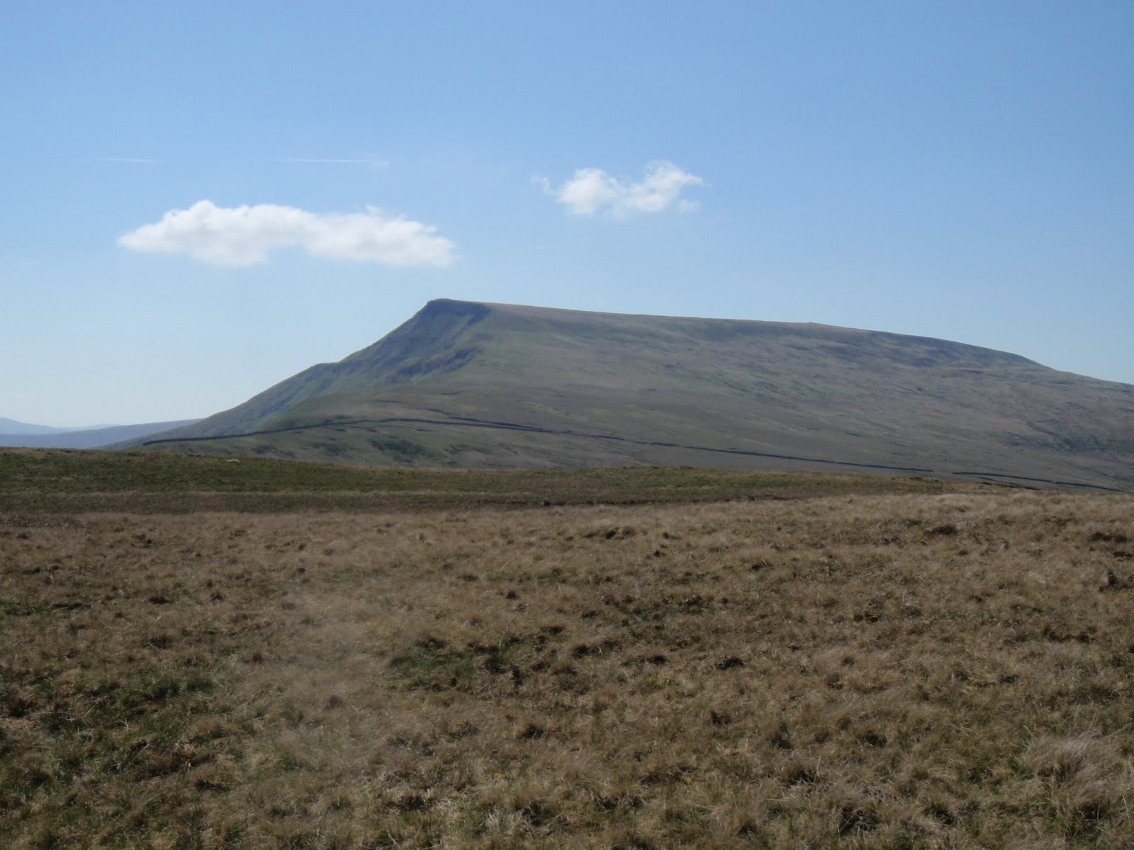
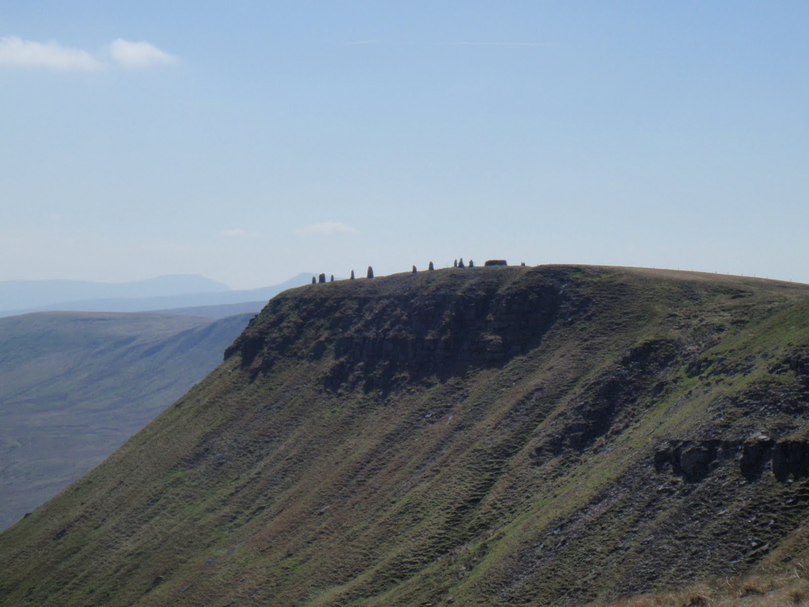
I then drove home, stopping to eat my sandwiches in sight of Wild Boar Fell and the cairns very prominent looking like people on the top.
I stopped in Hawes on the way but too full of motorbikes so left without lingering. I went past Pen-y-Ghent which I climbed on the day that Charles and Di got married and tried to drive through Settle but had to take a longer way round as they were having a street party. They had a street party there for Charles and Di back in 1981 but didn’t shut the road then. One of the Pen-y-Ghent party was craving a steak sandwich and this seemed an unlikely thing to find in the middle of the Dales on a bank holiday but actually she was in luck in Settle 30 years ago. Oh I can’t believe it was that long ago.
I skipped the steak sandwich for this royal wedding and got back with lots of time to prep the next day’s outing.
 
Smardale Gill viaduct
Smardale Bridge
 Please visit Map and Compass and learn how to interpret a map with me and my navigation partner, Cath.
Wild Boar Fell 280411

I’m sleeping very well, was out like a light and woke at 7. Yelly gave me muesli and yoghurt and bacon, tomatoes and mushrooms and a double espresso.
Set off to Kirkby Stephen and went back to the Post Office for another ristretto. My order was remembered as so few people know what it is!
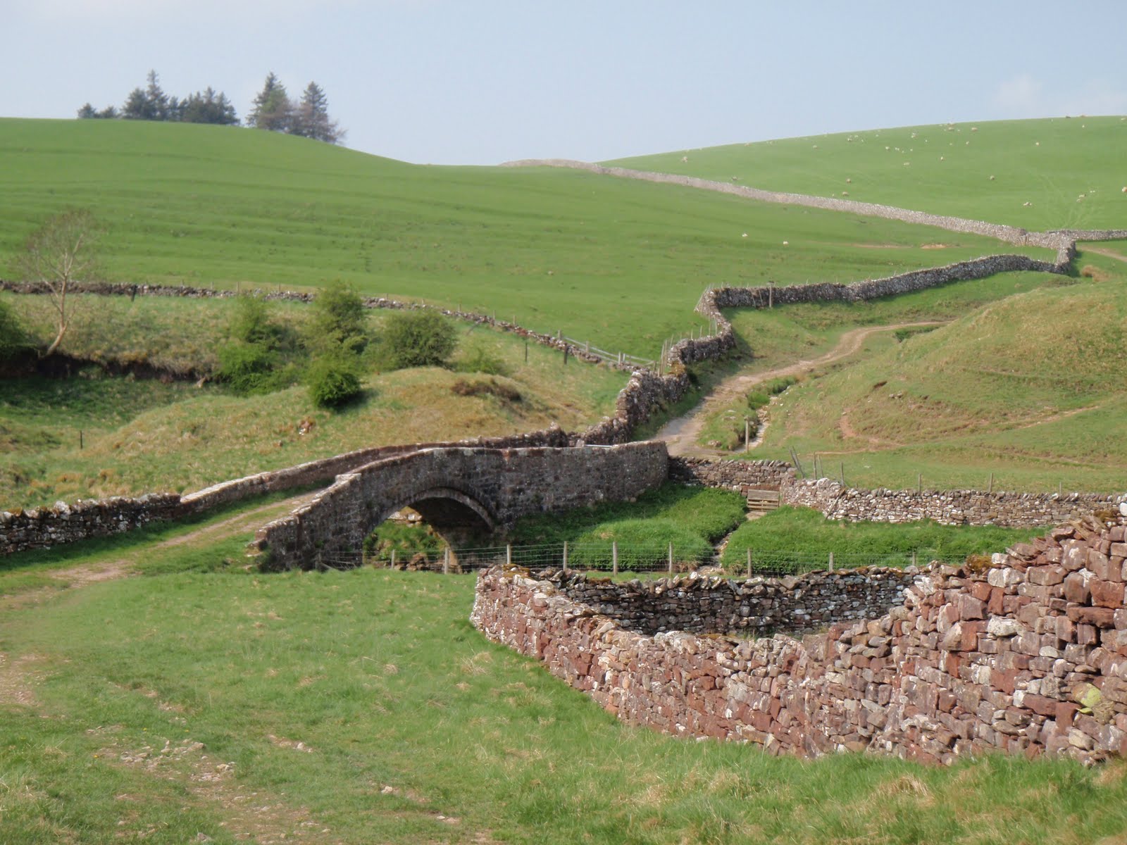
On the way to the walk I stopped at Pendragon Castle which sounds like it’s made up but is just a ruinous old ruin in a lovely spot with purple flowers on the ramparts. There’s not much to it really.
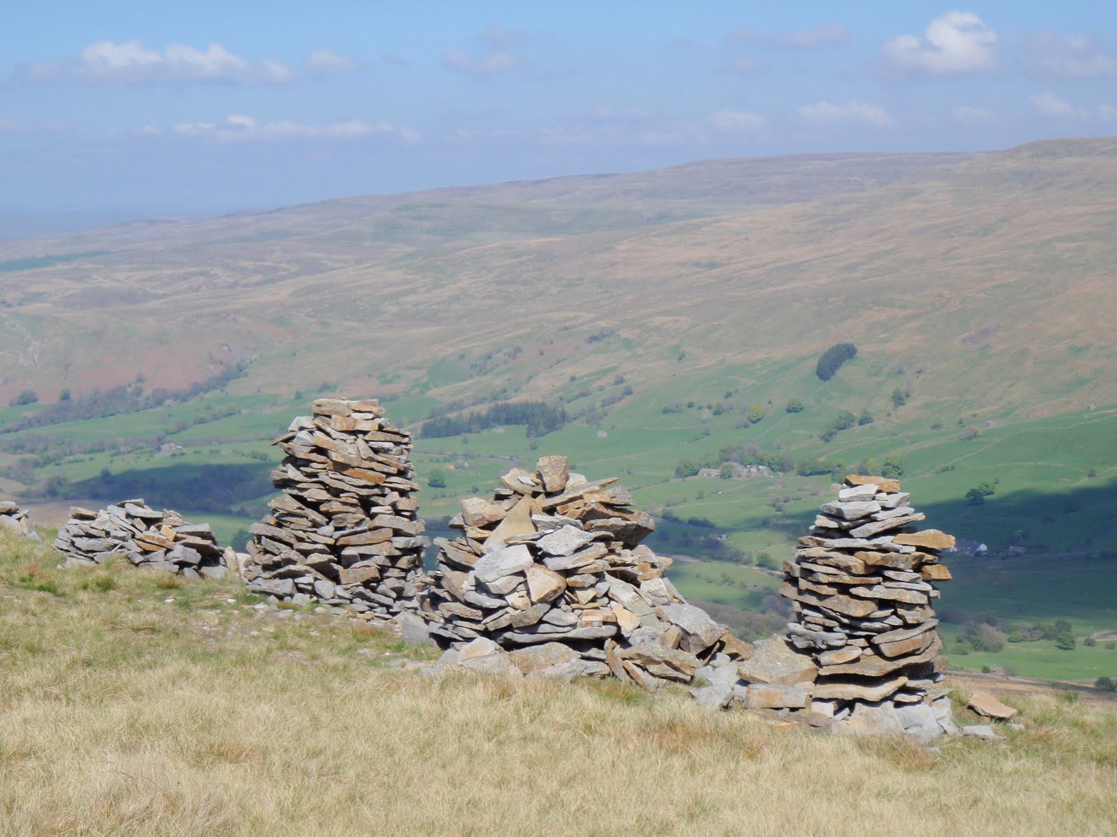
I parked up and set off having to micro nav the first section where there was no path. It worked out and I got onto a track which wound up to Little Fell where there is a row of 5 cairns overlooking the valley.
Next was Lower Dolphinsty and Higher Dolphinsty. Not a dolphin to be had up here.
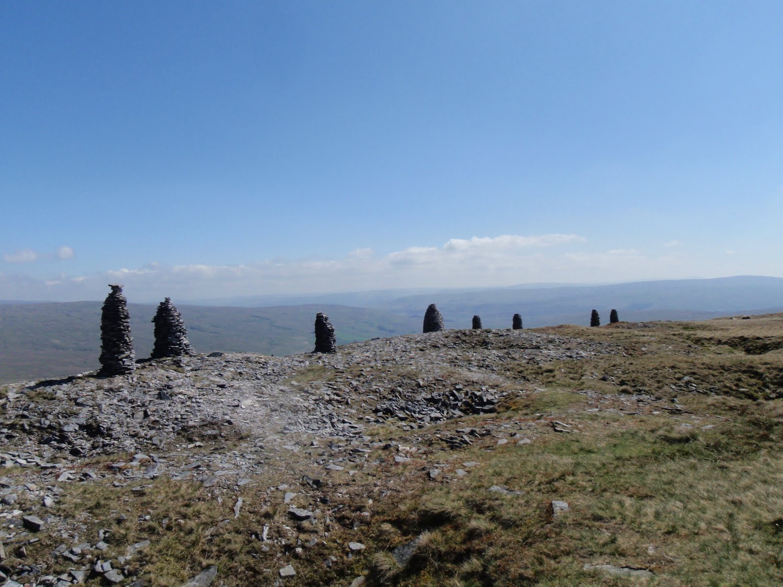
Just carried on up the escarpment until nearly at the top and was about to take a short cut to the trig point but then decided to do the extra 5m to the tumulus. I spotted a whole long row of cairns on the edge of the fell which I would not have seen if I’d short cut. So I headed round to the cairn row. There are about 12 of them with a fence in the middle of them. They’re in a most impressive location overlooking the valley. Not as big as the 9 Standards.
From the cairns across to the trig and then back to another old old cairn for lunch. Cheese and cucumber today and a pear and an apple. I don’t like pears but ate it anyway as very juicy but it still tasted of pear drops!
It was pretty chilly in the wind up top but sunny all walk. I only saw 2 people in 4 hours.
I got back down quite quickly.
A nice easy walk and my knee much better for it. No gip today.
Whatever you do, do not buy Sainsbury blister plasters in the expectation they will be like Compeed. Do not be seduced by a BOGOF as they are totally shit. I can’t say enough how rubbish they are.
I went to the Cross Keys Temperance Inn for my dinner. This was quite an experience, as I walked into what was basically a sitting room full of people the Maitre d’ declared “Ah you’re the one!” as in table for one. Despite this, the other 2 tables with largish parties were pleasant and the proprietor was kind and told me about the Quaker and the Temperance history of the inn. He’s a Quaker and the inn is owned by the National Trust. You can bring your own booze and there’s no corkage charge. I had pate followed by beef stroganof. Dinner was nice but pricey compared with the previous evening. The proprietor gave some of his pals huge shots of whisky and I wished I’d been a pal but probably just as well not as had to drive a few miles back to Ravenstonedale.
 
10km

370m ascent
 
Pendragon Castle


Bits of castle
Wild Boar Fell
Cairns on Wild Boar
Cairns
Row of five
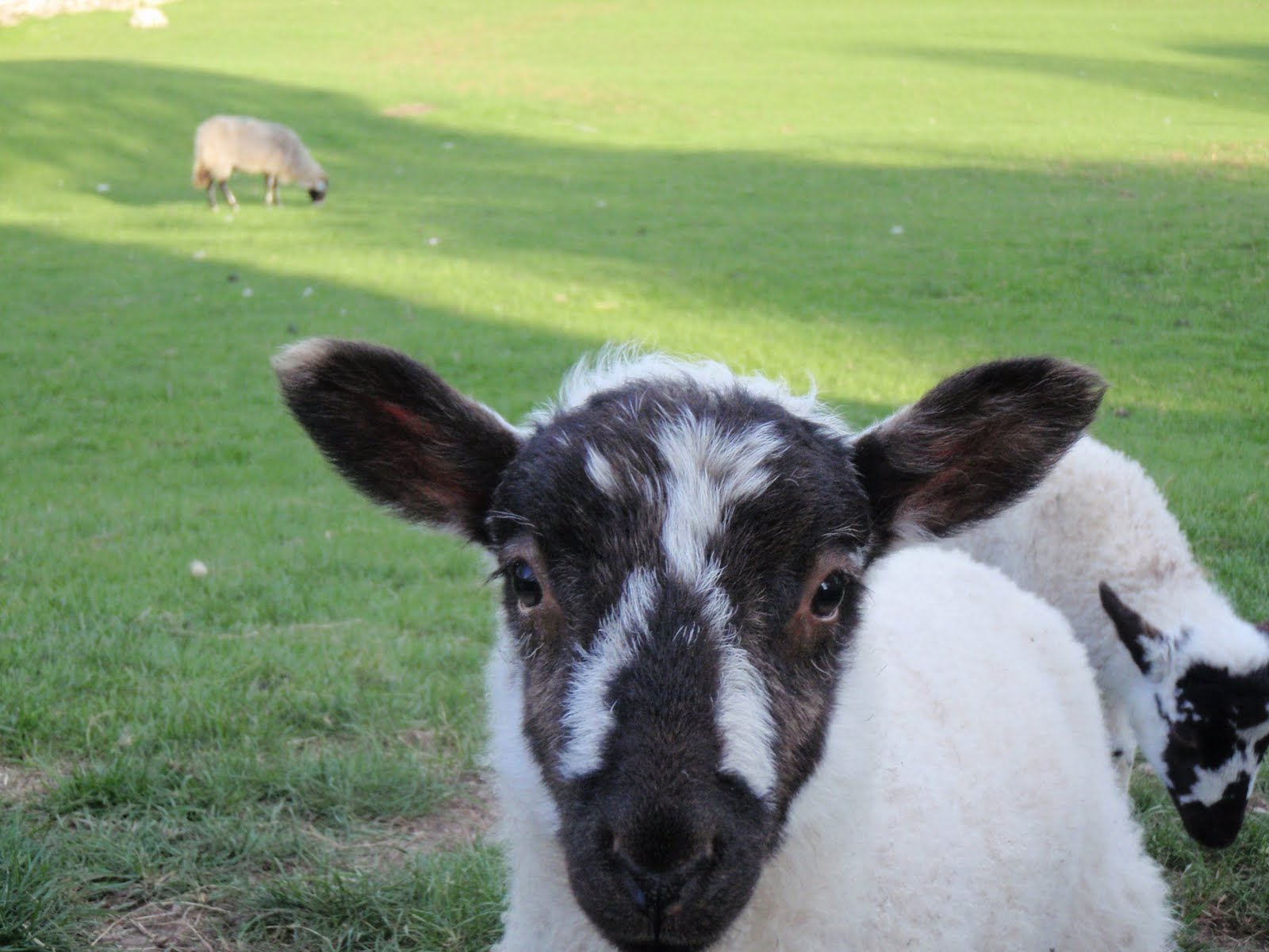
Hungry lambo
View from my window
 

[googlemaps https://maps.google.com/maps?f=q&source=s_q&hl=en&geocode=&q=Wild+Boar+Fell,+Ravenstonedale,+Eden+District,+United+Kingdom&aq=0&oq=wild+boar+fe&sll=54.450083,-2.270722&sspn=0.062878,0.209255&t=p&ie=UTF8&hq=&hnear=Wild+Boar+Fell&ll=54.384356,-2.374163&spn=0.014995,0.025749&z=14&iwloc=A&output=embed&w=300&h=300]

Please visit Map and Compass and learn how to interpret a map with me and my navigation partner, Cath.

css.php