Warland 120610

Withens Clough

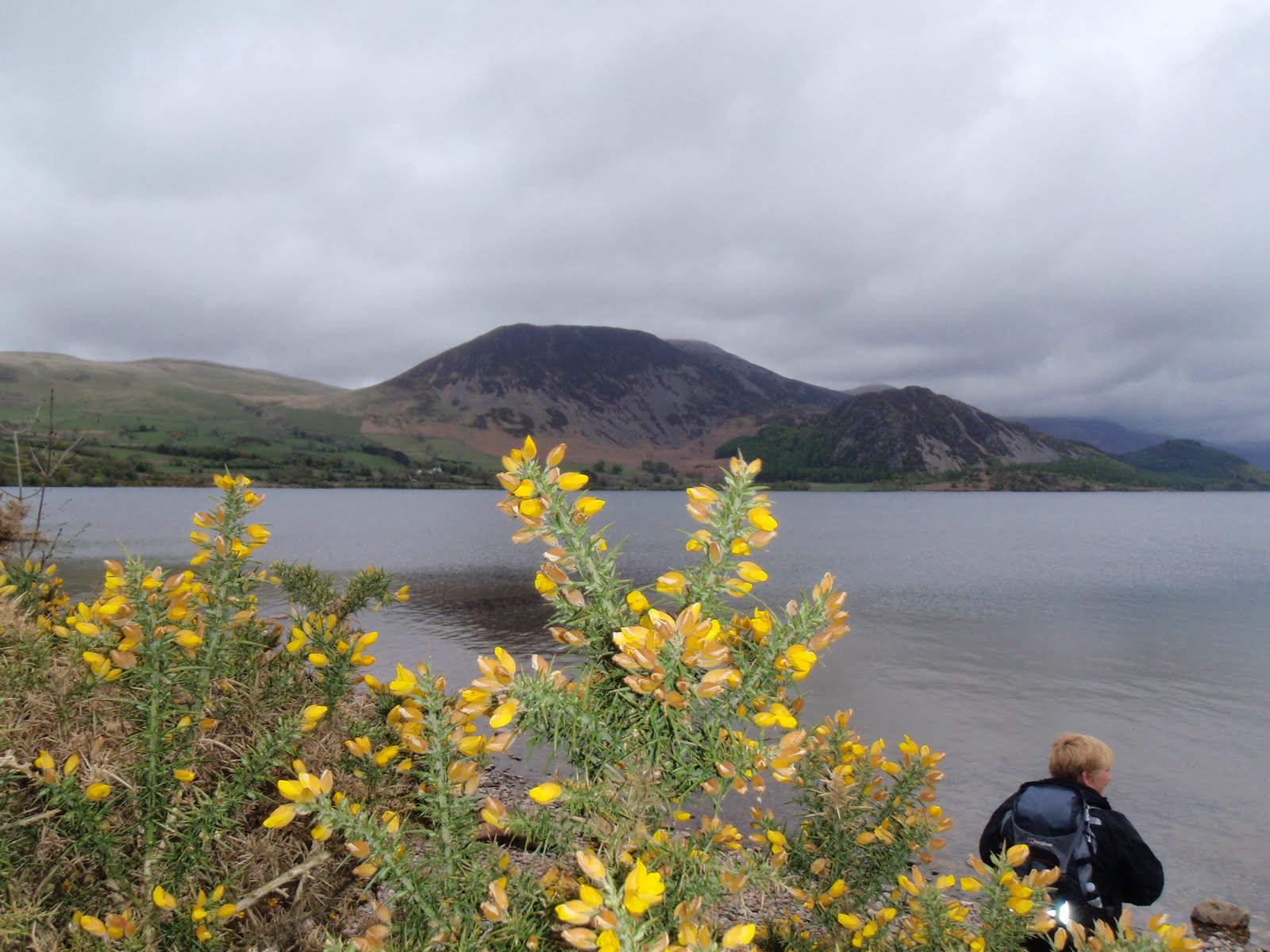
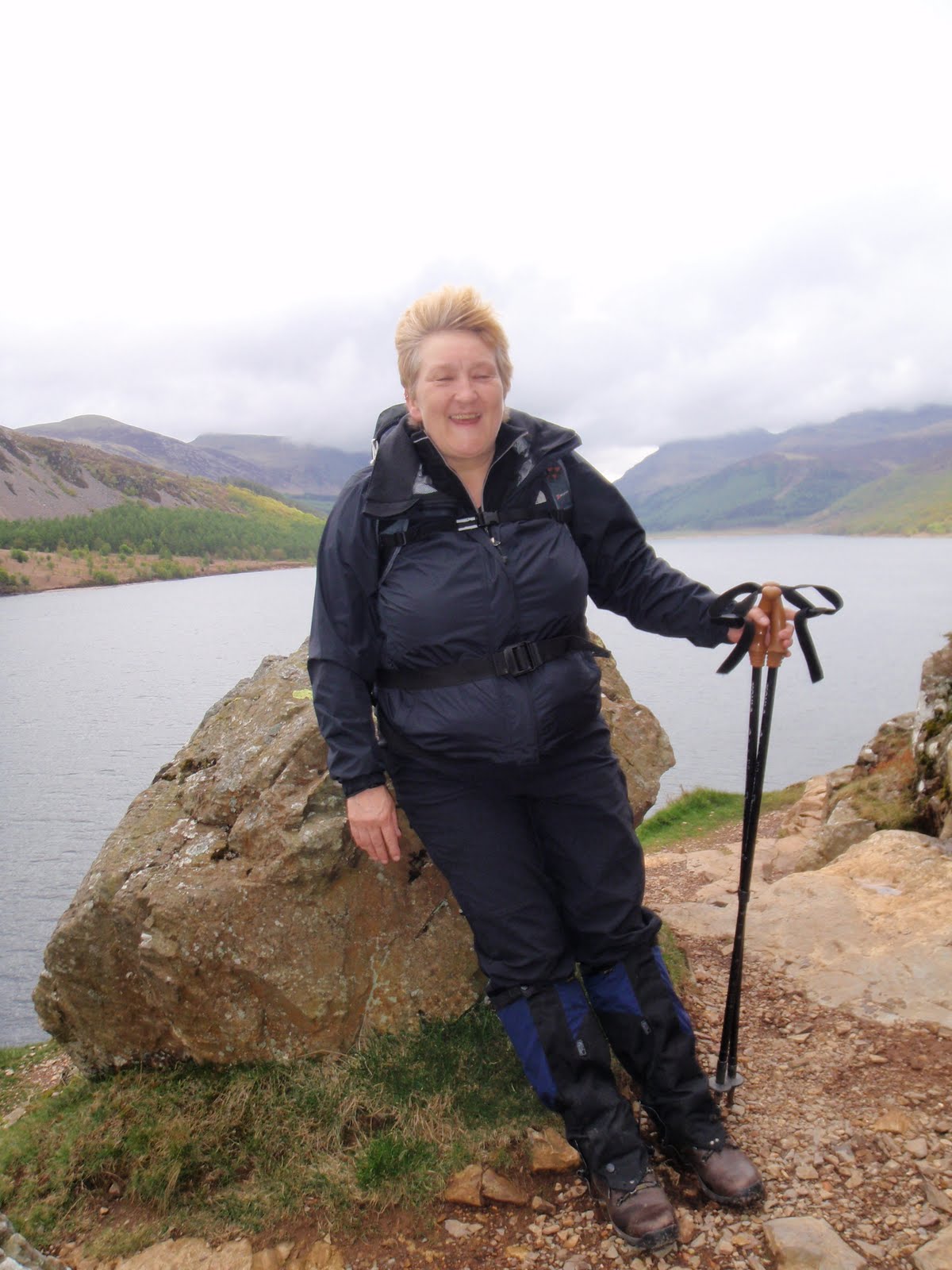
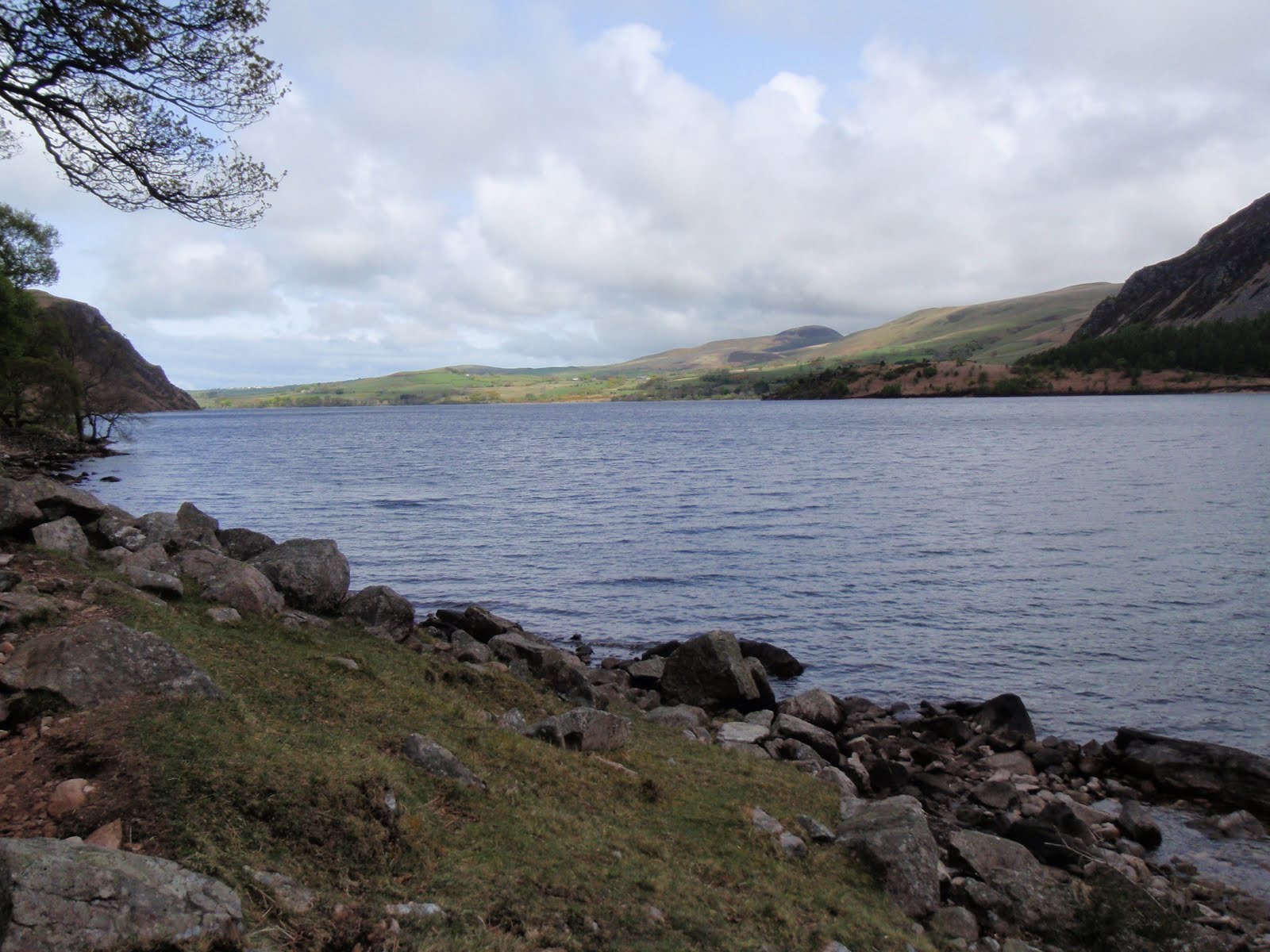
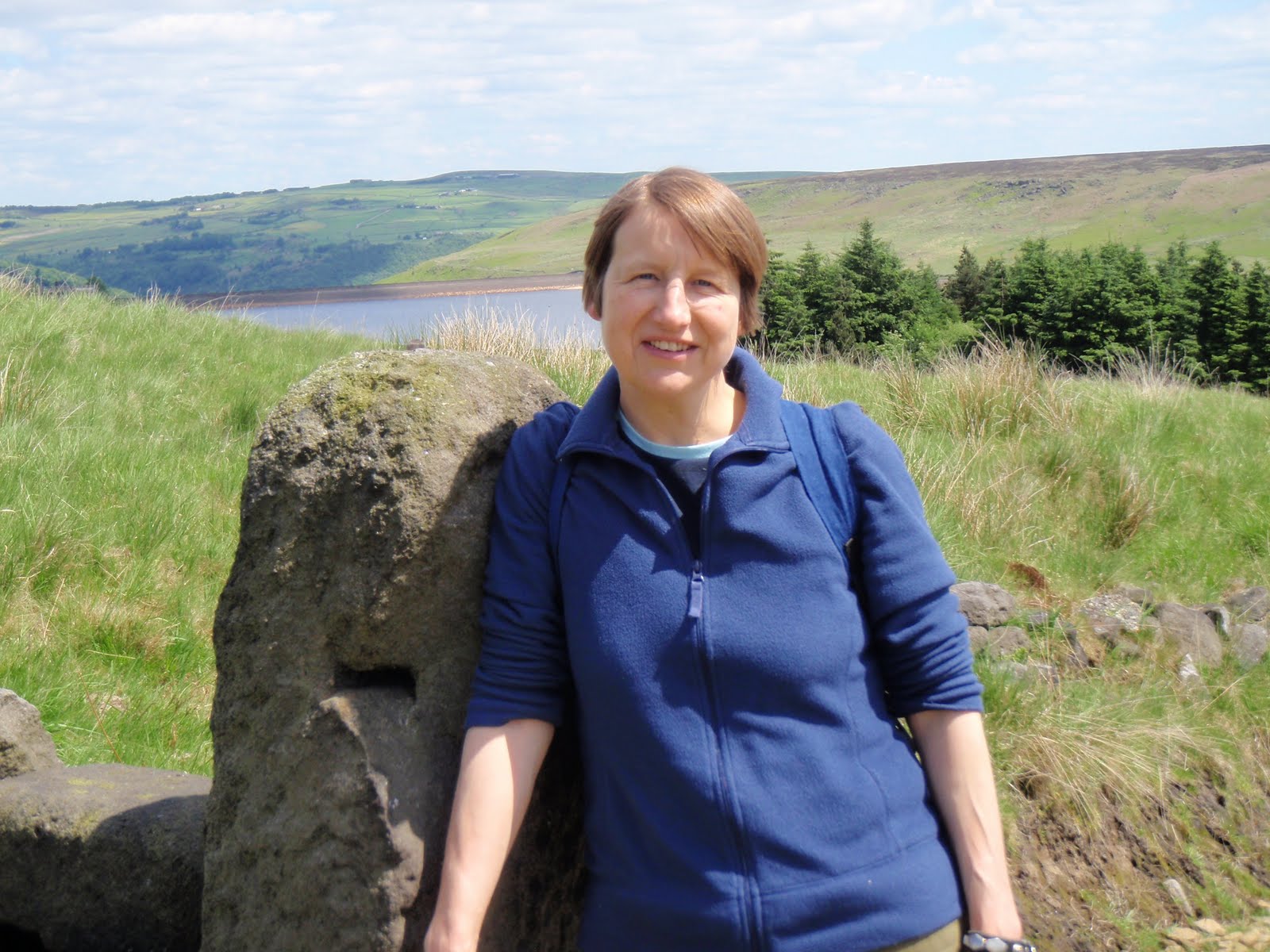
Beautiful walking weather. Carol and I set off quite spontaneously (a first if ever there was one) and parked up at Withens Clough reservoir car park. Despite being annoyed by the building site which was blaring out something probably to do with football, we soon passed this hazard and got into the peace and quiet.
Headed up away from the reservoir and across to Red Dyke ruined farm. Although the farm itself is roofless, the whole farm set up must have been very well built as all the surrounding dark walls are still in excellent condition, it’s a bit foreboding and I’ve never fancied poking about the place. So we didn’t!
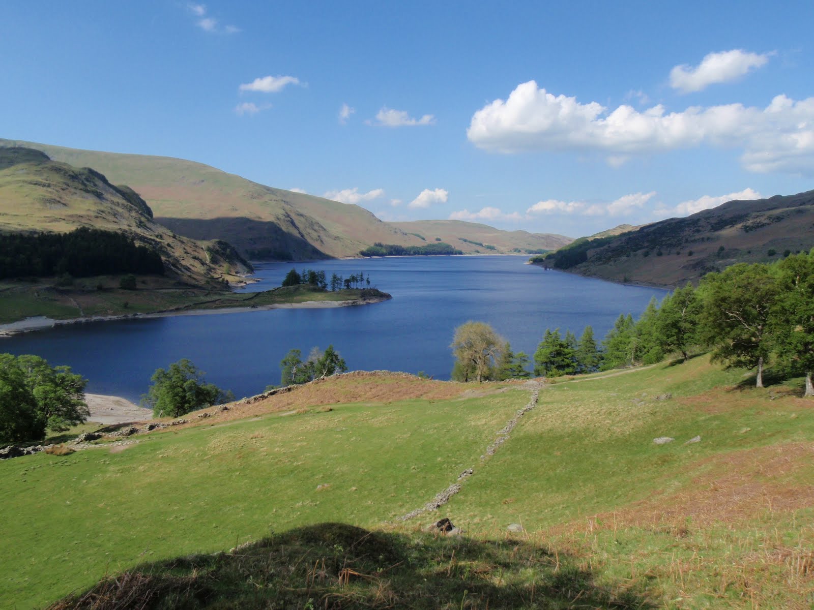
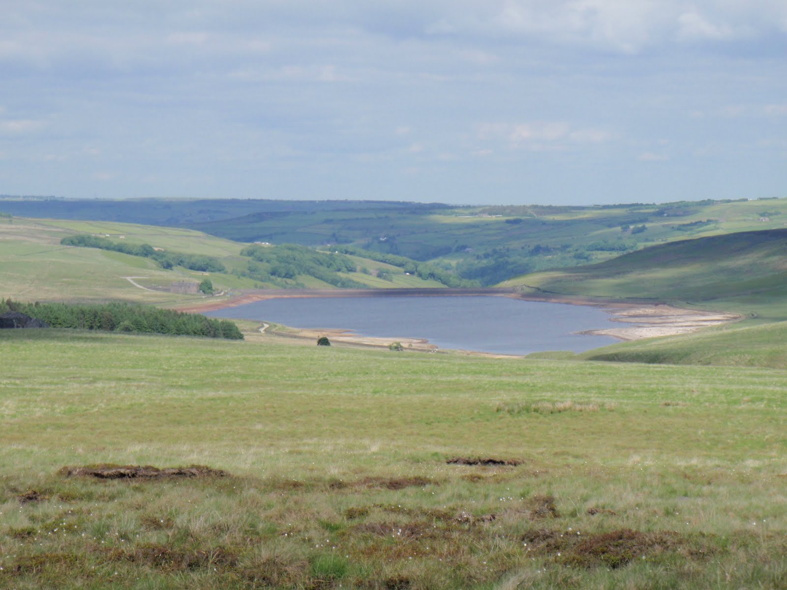
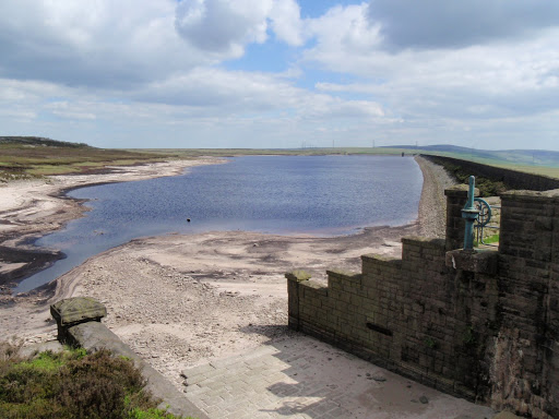
Wandered on a bit more and stopped on a rather windy stone bench overlooking Tod for a very late lunch. We just meandered along the Pennine Way until we got to the turn of the drain and kept along until reaching Warland reservoir. The reservoirs are very low in water, haven’t seen them this low for a while.
Returned via the same route mostly. Did cut across the rough as we could see the gate we were aiming for, but it was a lot of old tussocks and they are hard work. The path although longer, would probably have been quicker.
We managed to make a not very long walk last for hours, must have been the good company!

Warland Reservoir

[googlemaps https://maps.google.com/maps?f=q&source=s_q&hl=en&geocode=&q=Warland+Reservoir,+United+Kingdom&aq=0&oq=warland+re&sll=54.43331,-3.216591&sspn=0.062904,0.209255&ie=UTF8&hq=&hnear=Warland+Reservoir&t=m&ll=53.68461,-2.0644&spn=0.015249,0.025749&z=14&iwloc=A&output=embed&w=300&h=300]

Please visit Map and Compass and learn how to interpret a map with me and my navigation partner, Cath.

Sca Fell 310510

Sunday 30th May
This was a lesson in planning. Do not imagine you can easily camp in the Lakes on a Bank Holiday weekend Sunday. After an interesting drive across Wrynose and Hardknott passes, (wow my car is so good on those bends and even did the 1 in 3 with no trouble), I found that all the camp sites in Eskdale and Wasdale were full. I was starting to think that this would be a wild camp after all, then I remembered the lovely farm I’d stayed in last year with Clem and pals. After many hours of driving, I had to stop for a call of nature but guess I was getting a bit worried and didn’t see the nettle! Ow! Did have the presence of mind to grab some dock leaves for a later application! Even though it was another 40 minutes drive to Low Cock How, (is this a question?!) it was worth it as Dorothy and Mr Bradley welcomed me and I joined the other 2 tents in their field/garden. I’d managed to drop the metal gate closure onto my forefinger (in my panic to find somewhere) but not too serious an injury. I quickly got the tent up. The Bradleys were both very kind and let me use their phone so I could ring home and say I had somewhere to kip. No signal in their yard this year!
I cooked up some nice beef casserole and brown basmati rice, as in heated up. No matter, turned out a treat and the casserole was not at all bad. I washed it down with some Glenkinchie and a bit of chocolate! Read a few pages of Evil under the Sun and then slept quite well, certainly warm enough in merino wool baselayer.

Monday 31st May
Woke about 6.30 and went back to sleep only to find the next time I woke that it was 8.00 a.m. How did that happen? On my way back from the loo (in my sleep attire), I bumped into Mr Bradley who decided this was the time to tell me all about his bore hole (oh yes indeed), and also his battles with the local planning department and how to beat them, not to forget his future projects. I got a bit cold while deciphering all this – Mr B has a very strong Cumbrian accent, but it still amazes me how hard this family of 3 work – 1000 head of sheep, 50 head of horse, plus cows, camp site, B&B, camping barn and riding. Mr B and Dorothy had taken what sounded like only their 2nd holiday abroad ever, earlier this year, to Gran Canaria – I tried hard to imagine them in the sand dunes or the Yumbo Centre but hey, they had a great hot holiday! I warmed up with breakfast of muesli and yoghurt, this washed down with coffee from a coffee filter bag. This is a very lightweight way to have a half decent cup of coffee.
I struck camp, albeit a bit later than I’d hoped and arrived at Wasdale Head National Trust car park just after 10.30, where they charged me a whopping £5.40 for the day, the money grabbing gits.
Left the car park at 10.50 and set off gaily, little knowing what lay ahead. It was warm and sunny for a while and then warm without the sun. I followed the path, stopping to take a photo of a woman and her kids – she did ask me to do this! At the first main junction I could see that the way I needed to go was straight across the plain rather than down to the tarn, so I did and met up with the path coming up from the tarn thus saving quite a chunk of time. Then it was a steady gentle climb up to a grassy plateau. I passed a group of 4 women who had a certain look and continued up the slope. Stopped for my first lunch before attempting the steep bit at which point the 4 overtook me. This was good as I could see them ahead of me all the way up. The steep bit really was just horrible. Scree that did one step up and and 2 steps back and seemed to go on forever. I plodded away and rested as necessary which was quite a lot! A man going down stopped so that he wouldn’t knock stones on my head which was nice of him but he was a fell runner and seemed to be throwing himself down the scree which was also wrecking the path I was about to use. Grrr. Guess I was getting fed up with the scree by this time, I tell you Wainwright never mentioned anything about that, this route was the only safe one according to him. Finally got to the top, had my 2nd lunch (reward), wandered over to Symonds Knott and rested a bit before tackling the descent. I allowed myself a drink stop every 15 mins and a slightly longer one at 30 mins, I took it very carefully but I like the downs and was off the scree after just over 30 mins. I had a short chat with a couple of guys in training for the Lower Alpine Mountain Marathon, one of whom said “we’ve been walking for SIX hours!” (my walk was 6 hours 25 minutes). Continued onwards, much faster on the plateau, another short chat with a couple who had taken a path that petered out (not on the map) who seemed to think the NHS pays for Mountain Rescue. I tried to disabuse them but then got lectured on walking poles and how I must use 2 not 1. I’m sure I’ve been enthusiastic about 2 poles myself at times, but at the moment I don’t have enough hands for 2 (map, compass in one) and am strengthening my “floppy” knees (technical term from physio at work!) by building up the muscles around the knees by only using a pole when absolutely necessary. I left them to follow my own short cut which gave some sheep a nice surprise and then raced back in the late afternoon sun for the last half hour. 900m of climb, not bad!
A long drive home but thanks to a very smooth operation at home, got unpacked and sorted in less than an hour.
NB To the best of my knowledge, the Bradleys are not part of a gay mafia.

[googlemaps https://maps.google.com/maps?f=q&source=s_q&hl=en&geocode=&q=Sca+Fell,+Eskdale,+Copeland+District,+United+Kingdom&aq=3&oq=sca&sll=54.475944,-3.111333&sspn=0.062838,0.209255&ie=UTF8&hq=&hnear=Sca+Fell&t=m&ll=54.475923,-3.111362&spn=0.029923,0.051498&z=13&iwloc=A&output=embed&w=300&h=300]

Please visit Map and Compass and learn how to interpret a map with me and my navigation partner, Cath.
Kidsty Pike, High Raise and High Street, 230510

Fabulous day. Got up very early and started walking at 10.20 after 2.5 hour drive which would have been less if Tebay services had managed to serve coffee a bit more quickly. UoB can serve coffee quickly so why are motorway services, nice or nasty, totally unable to manage it? I parked at Mardale, actually in the car park for nothing. It was straightaway very hot as I went round the bottom edge of Haweswater before climbing up the spur leading to Kidsty Pike. This is not where Alfred Pain-height’s ashes are scattered but people were pondering on where exactly they might be (Innominate Tarn, Haystacks). It took me a while to get up as being so hot slowed me down. I had my lunch on Kidsty but it didn’t draw me in the same way as it did Wainwright. This may have been because there was a man with a 2m white aerial sticking out of his rucksack with a big black telephone wire attached to a large handset. Why he needed a satellite phone was quite beyond me but he had a long conversation with “Manchester”. There are some advantages to my newly diagnosed deafness and being able to cut him out was a distinct plus! I bumped into various bods doing the C2C and many of these were Americans who seemed to be a bit surprised at how hard it was! I’m still trying to adapt and adjust to what is going on and doing this big long walk helped as I was able to forget the tinnitus for some of the time, and I really needed that respite from it. I think I can adjust to the deafness but this accompanying permanent state of white noise is making me feel quite mad and desperate at times. I moved on to High Raise which I preferred and is a short hop from Kidsty Pike. I could see a very long way but it was still pretty hazy. Then I took in Rampsgill Head, not knowing it was on Wainwright’s list, so another peak bagged by accident. I then went down and across to High Street which I love. Just thinking about Romans charging along the road. On the way I did my good citizen bit and guided a Coast to Coaster back onto the correct track. He seemed to have a terrible amount of stuff to carry, all dangling madly. I really worry about people who undertake the C2C and who think it’s going to be a doddle and that they don’t need to be able to read a map. After High Street I started on the descent of the ridge which was much longer and steeper and required more scrambling skills than I remembered. Still loved it! No good for any of my pals who find exposure and height challenging though. Went really fast for the last flat kilometre which was fun! Got back to the car at 4.30 and was home just in time for the Archers.
 

[googlemaps https://maps.google.com/maps?f=q&source=s_q&hl=en&geocode=&q=High+Raise,+Borrowdale,+Allerdale+District,+United+Kingdom&aq=0&oq=high+raise+&sll=54.515598,-3.048767&sspn=0.251109,0.837021&ie=UTF8&hq=&hnear=High+Raise&t=m&ll=54.475923,-3.111362&spn=0.029923,0.051498&z=13&iwloc=A&output=embed&w=300&h=300]

Please visit Map and Compass and learn how to interpret a map with me and my navigation partner, Cath.

Chris and Jak’s Lakeland Adventure Saturday 150510


Woke up very early, listening to the birds and sheep. Chris continued to sleep for some time despite my best efforts to rouse her. I was big time hungry so had a preliminary breakfast of muesli and yoghurt. Then she woke up and we had a cup of delicious coffee, now whilst this was very nice, I could probably have coped with a double ration of coffee bags or disposable filters so will go for one of those options next time to save on the weight of the plastic cafetiere. For our shared breakfast we had rice and curry sauce and more coffee! This was a great way to warm up and start the day.
C washed up and we both pootled about, the sun came out and we started to feel nice and warm. We struck camp (why to strike?) and set off back up the slope with somewhat lighter packs. We ambled back to the car, waited whilst some lambs got enough bottle to get past us and back to their mother, then squeezing ourselves under the bush again.
At the car, we had a great pfaffing interlude, dumping all the camping kit and putting in some youth hostel necessities. A bite of lunch whilst sitting on a log and then we meandered our way along the track to High Gillerthwaite youth hostel to arrive about 4.00.
We wandered in to wait until the warden arrived at 5.00. At the back there was a bloke lolling about on the grass. I couldn’t understand much of what he said, I thought Geordie, C thought Brummie but the main thing we both got was that his walking partner was ill with stomach upset. We both thought he was talking about a woman but this partner turned out to be a very big man who looked like he’d just left gaol.
We booked in with Tony the manager who was very friendly, I complimented him on having put up a poster for gay walkers. We ordered our dinner and packed lunch for the next day.
The hostel is small but very well situated, with great views to Pillar. The other hostellers were the 2 crims, 2 not very friendly women, a bunch of Germans with breathing difficulties and some mountain men plus a very nice man we both liked called Stuart.
C and I made our beds and got clean again. The hostel has a good standard of furnishing and decor, better than Boggle Hole in that respect.
Then it was time for beer and dinner. Beer was local and mostly named after fells. We shared a bowl of cheesy nachos for a starter which was ok. I had veggie chilli and C had meat, it looked like I had a better deal as I got a lot of veg in mine.We both had baked potatoes which were let down by the margarine spread – yuck – no butter available.
More beer and then we went out, mainly to escape the crims, for a walk in the Black Sail hut direction. Lovely evening, beautiful clear streams. Then back for more beer. I thought it would help me sleep a bit more.
So tired C and I toddled off to our bunks quite early, C in the top, me below. The room was for 4 people and she and I had arrived first and picked the best beds for ourselves. At least this time I didn’t have a hot pipe running down the side of the bed, however that didn’t stop me from being roasted alive. Foolishly I had dropped off to sleep before opening the window, although I did turn all the radiators in the vicinity off. No sooner had I nearly dropped off than the 2 slightly unfriendly women turned up to whisper but they did get to bed quite quickly.

[googlemaps https://maps.google.com/maps?f=q&source=s_q&hl=en&geocode=&q=Ennerdale+Water,+Ennerdale+and+Kinniside,+Copeland+District,+United+Kingdom&aq=0&oq=ennerdale&sll=54.540988,-3.354172&sspn=0.007842,0.026157&ie=UTF8&hq=&hnear=Ennerdale+Water&t=m&ll=54.522576,-3.381643&spn=0.014944,0.025749&z=14&iwloc=A&output=embed&w=300&h=300]

Please visit Map and Compass and learn how to interpret a map with me and my navigation partner, Cath.
Chris and Jak’s Lakeland Adventure Sunday 160510

Ennerdale Water


C and I both had a rotten night, too hot, too thirsty but I couldn’t face trying to locate my water bladder which was in my rucksack in the box under the bunk. Then our companions decided to rise early and took all their stuff out of the room and got dressed in the passage. They were doing the C2C and had masses of stuff to carry, huge cameras, books, make up. All I can say is they must be very strong. As they’d properly managed to wake us up by being so considerate we had a chat with them and they seemed a bit more friendly.

Two of the German men were in the room next door to us with the ok crim and the sick crim (self inflicted I suspect given the amount of beer he was drinking). The Germans had to have an extension cable going into the room for their breathing apparatus – they were also doing the C2C but with a Sherpa Van to carry their kit. The 2 women had moved the safety sign which had been put up so that people wouldn’t trip over the cable and helpfully propped it against the door into which the wire went. Sometimes I really do think some people have no sense at all.
C and I both felt very tired so we packed up and went down to breakfast at 7.30. I had muesli and yoghurt and we both had some cooked food, my veggie option not so good, in fact it had that old soapy taste of dried soup from the 70s. Also scrambled egg which I hadn’t asked for and which reminds me far too much of vomit. More toast, no marg for me, just couldn’t face it. We picked up some very nice flapjack and our packed lunches and headed out. The YH is convenient for getting food prepared but the quality is pants for the price. Also they say all their food is locally sourced, organic, fair trade but they are tied in to one supplier so this is bollocks. I’m now starting to think I don’t really want to stay in a YH again as I don’t sleep and the food quality is only ok. The packed lunch was ok but nothing to write home about. I checked out to see if we could camp at Black Sail for when we do our assault on Pillar but this is apparently not an option, so we’ll just have to carry our curries! Which were delicious in comparison with the YH!
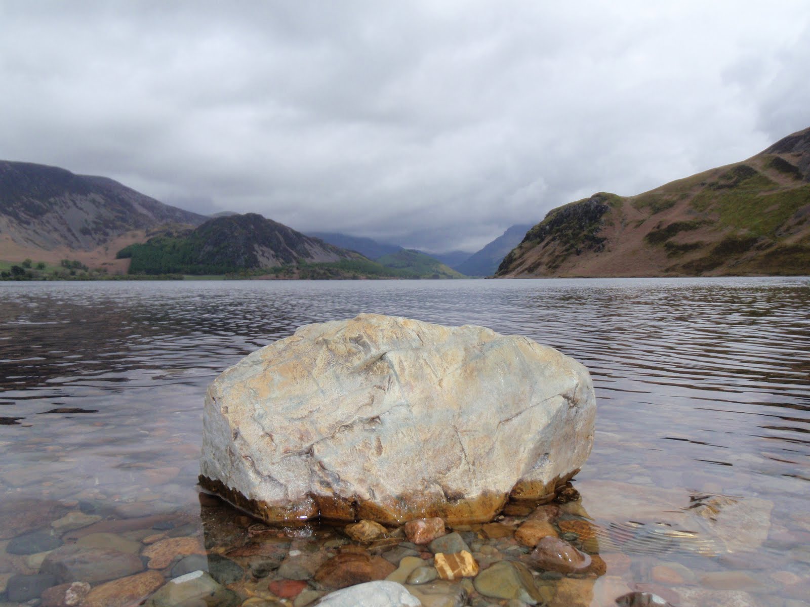
We set off to circuit Ennerdale Water via the south side. This was a lovely walk and everyone else was coming the other way. Some people we saw twice. It looked like it might rain at one point but then it got really warm.
We stopped to eat our squashed sandwiches at the end of the lake near some swans. Then we trotted back around to Bowness Knot and the car.
A bit more pfaffing and moving of items from A to B and back again and it was time to head off to Bassenthwaite. We’d been out of mobile contact since Saturday morning when I’d very briefly got a signal but we still had to drive quite a way before a flurry of texts came whizzing in. It wasn’t very far to get to Bassenthwaite and the Castle Inn.
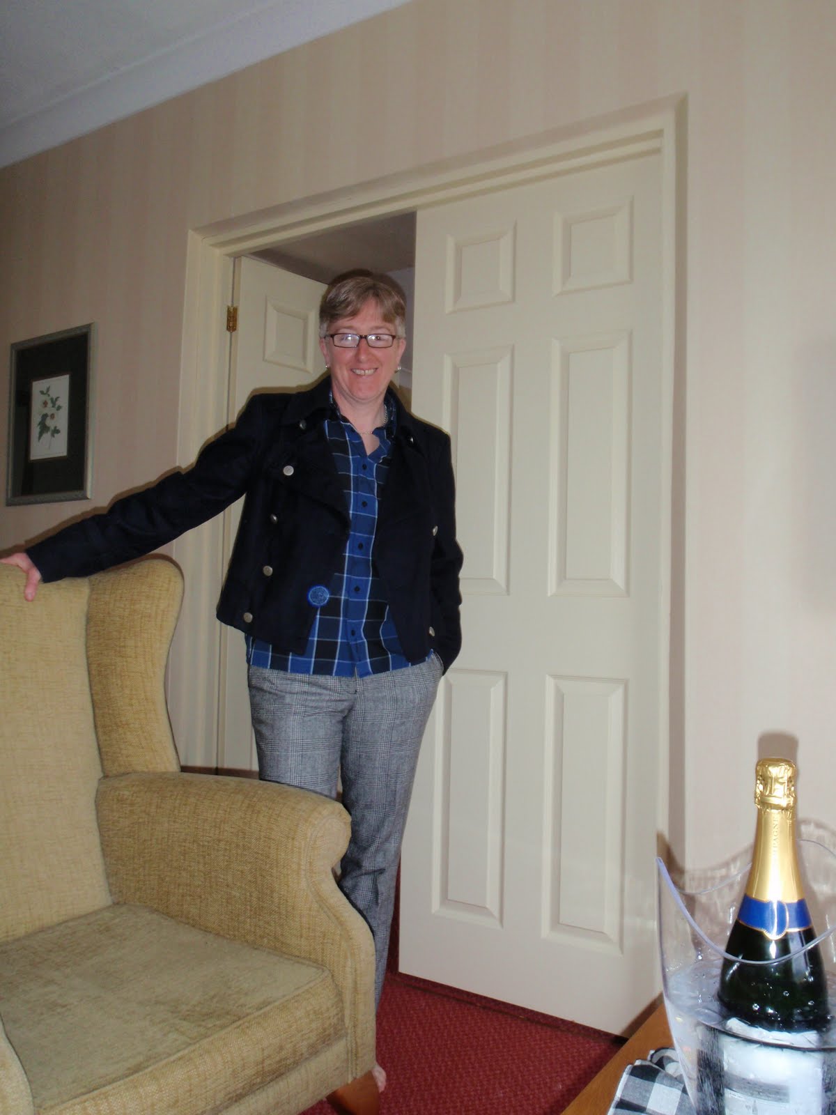
We checked in, sorted a table for dinner and then went up to our room, no our suite! I had forgotten we’d upgraded to a suite. Totally fab having an extra room. The bathroom was great, huge shower which I quickly took avail of. Then straight off for a swim, jacuzzi, steam room and sauna. Chris ordered a bucket of ice and we put the champagne in and had a little aperitif while getting ready for dinner.
Dinner was nice, quite plain but good that you could really taste the food. Chris had something fishy and I had unidentified vegetable soup. C went for sea bass and me for lamb shank. We washed it down with some large glasses of Sauvignon. Both selected creme brulee for dessert. A small child came to look at us so I put my napkin and did the “how much for the little girl?” bit from the Blues Brothers. After all that we just had to polish off the champagne and then both so knackered it was time for bed.

[googlemaps https://maps.google.com/maps?f=q&source=s_q&hl=en&geocode=&q=Ennerdale+Water,+Ennerdale+and+Kinniside,+Copeland+District,+United+Kingdom&aq=0&oq=ennerdale&sll=54.540988,-3.354172&sspn=0.007842,0.026157&ie=UTF8&hq=&hnear=Ennerdale+Water&t=m&ll=54.522576,-3.381643&spn=0.014944,0.025749&z=14&iwloc=A&output=embed&w=300&h=300]

Please visit Map and Compass and learn how to interpret a map with me and my navigation partner, Cath.
css.php