Chris and Jak’s Lakeland Adventure Monday 170510


Both woke quite early after a somewhat better sleep with the window open but perhaps not open enough as I had been pretty hot again. Bloody hell, middle age seems to mean not sleeping and increasingly losing my senses, that’s in the plural.
Breakfast time again. We picked up the usual cereals and juices etc. and then both asked for food that wasn’t exactly what was on the menu. C for bacon and me for ham and poached egg. We were both half way through eating our cereal when the hot food arrived and got plonked down so we had to finish off the cereal holding the bowls up. I don’t know why we didn’t protest and send the hot stuff back, really we should have done but I was so surprised it didn’t occur to me! It was nice but not massive in the portion department by any means. We picked up some flapjack to take with us just in case we felt a terrible urge to eat at any point.
Chris went off to use the pool and associated facilities again and I had another lovely shower and then went down to try out the Wii machine. I played some tennis very badly, no change there although I could see how it might possibly make me better at it. Good fun and confirmed that I don’t need to buy one! It said I had a fitness age of 80 which was mildly disconcerting.
Then we packed up and checked out, and whizzed into Keswick. Parked up by the lake and had a not very strong coffee in an old fashioned lakeside cafe. Then off for a tour of the lake by boat. This was lovely, weather was great. Back to the town for lunch, funny how quickly one gets hungry. Went into Bar 26, this was a very fortuitous move, nice cafe, nice food, nice loo! C had soup and a baguette and I had a lamb and mint burger, very tasty and nicely presented. Also good strong coffee.
It was time to hit the shops, and although it felt like we went in every outdoor shop in the town the best one seemed to be George Fisher. And thus passed several happy hours until we were shopped out and it really was time to go home.
We set off but only got to Tebay services where we just had to check out the opportunities for more spending. Got back to Tod by 7.00 and I was home before 8.00. A really great weekend with lots done and good weather all through. Thanks Chris.

[googlemaps https://maps.google.com/maps?f=q&source=s_q&hl=en&geocode=&q=keswick&aq=&sll=54.52257,-3.381656&sspn=0.031383,0.104628&ie=UTF8&hq=&hnear=Keswick,+Cumbria,+United+Kingdom&t=m&ll=54.601257,-3.134708&spn=0.014916,0.025749&z=14&iwloc=A&output=embed&w=300&h=300]

Please visit Map and Compass and learn how to interpret a map with me and my navigation partner, Cath.
Chris and Jak’s Lakeland Adventure Friday 140510

Floutern Tarn
Ennerdale Water

[googlemaps https://maps.google.com/maps?f=q&source=s_q&hl=en&geocode=&q=Floutern+Tarn,+Loweswater,+Allerdale+District,+United+Kingdom&aq=0&oq=floutern+&sll=54.160972,-1.998444&sspn=0.03166,0.104628&ie=UTF8&hq=&hnear=Floutern+Tarn&t=m&ll=54.541003,-3.354177&spn=0.014938,0.025749&z=14&iwloc=A&output=embed&w=300&h=300]


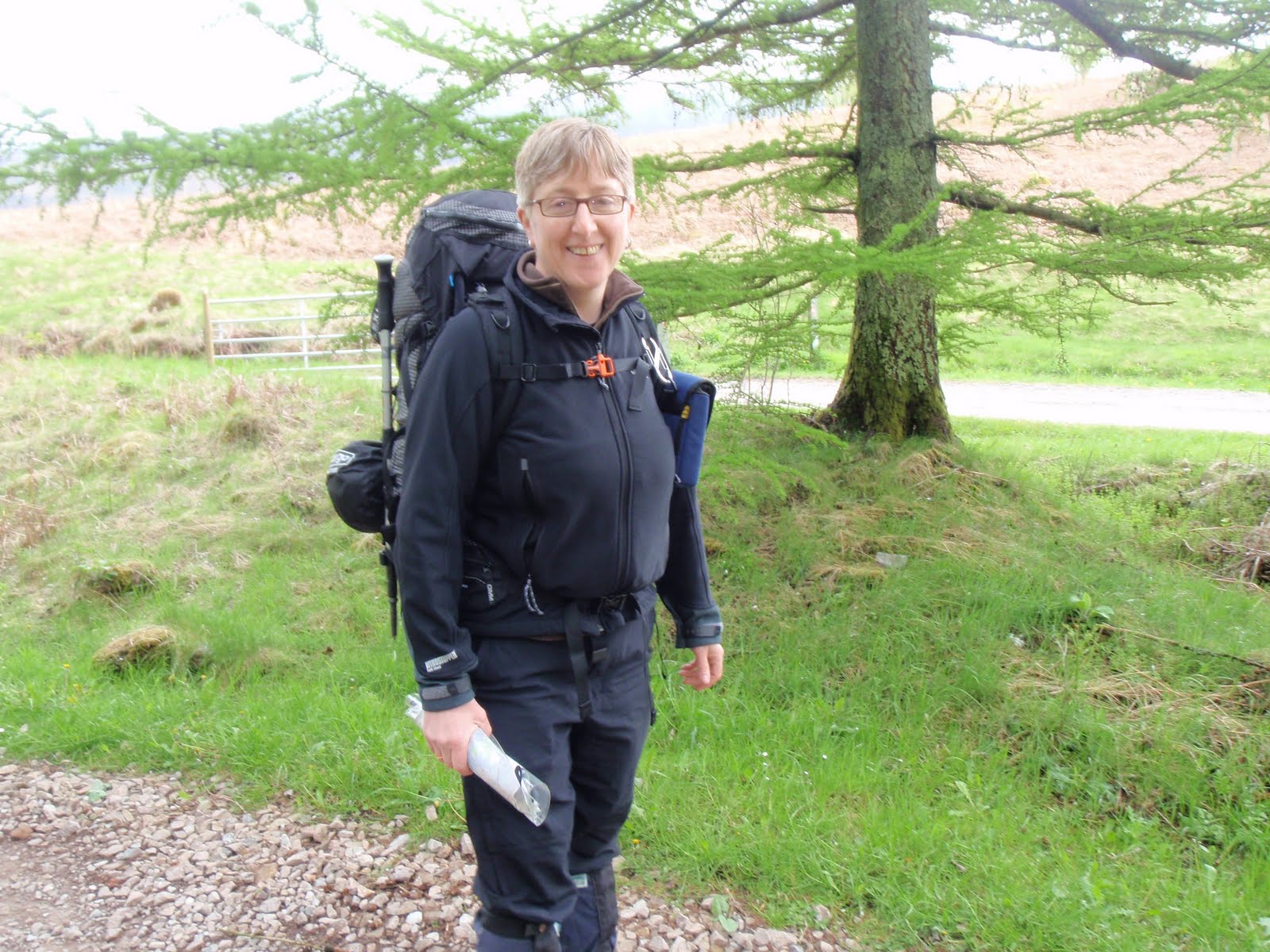
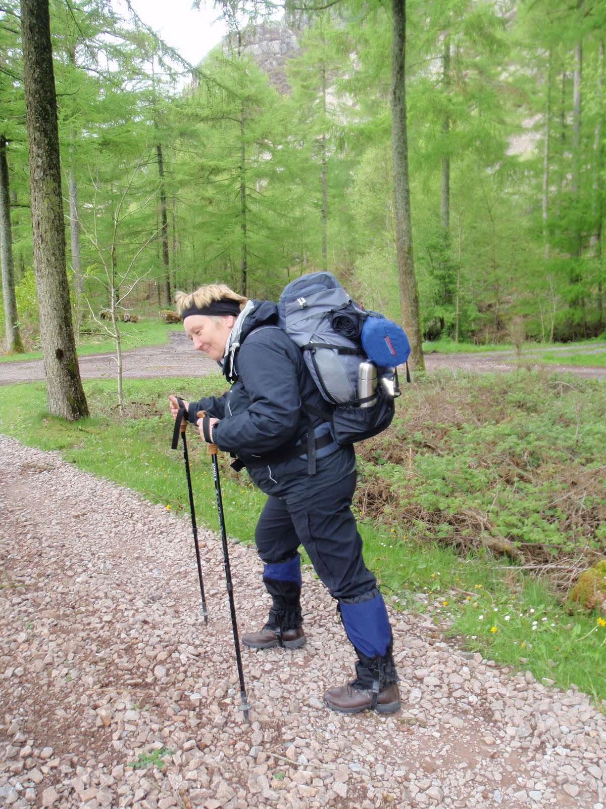
I didn’t sleep very well as was concerned about my rucksack being too heavy. I arrived at Chris’ house to find her still squeezing the kitchen sink into her rucksack. We set off and stopped at the services near Lancaster to take advantage of Marks and Spencer. We took advantage of a few other things and nearly froze to death waiting for our drinks at Costa Coffee, which wasn’t giving me any points for my Costa Coffee card. We both got nice healthy salads for lunch and filled wraps for the next day’s lunch. About an hour later we arrived at Bowness Knot car park which thankfully was free – I’m not sure what we would have done if a ticket machine needed to be fed with money over 3 days. We lunched before getting going.
We finally left the car park and plodded along the road, it was hard to get used to the full pack and various aches and pains came and went. Set off along the footpath only to find that it was obstructed by a fallen tree/bush. This meant we had to crawl through dragging our packs with us. We took it all slow and steady, stopping to watch shepherding by quad bike, motorbike and dog. Seemed to involve a lot of shouting for no particularly obvious purpose. No whistling or arcane gestures sadly. Whatever happened to “One Man and his Dog“? That answers that then, how weird it’s still going, bit like the Archers.
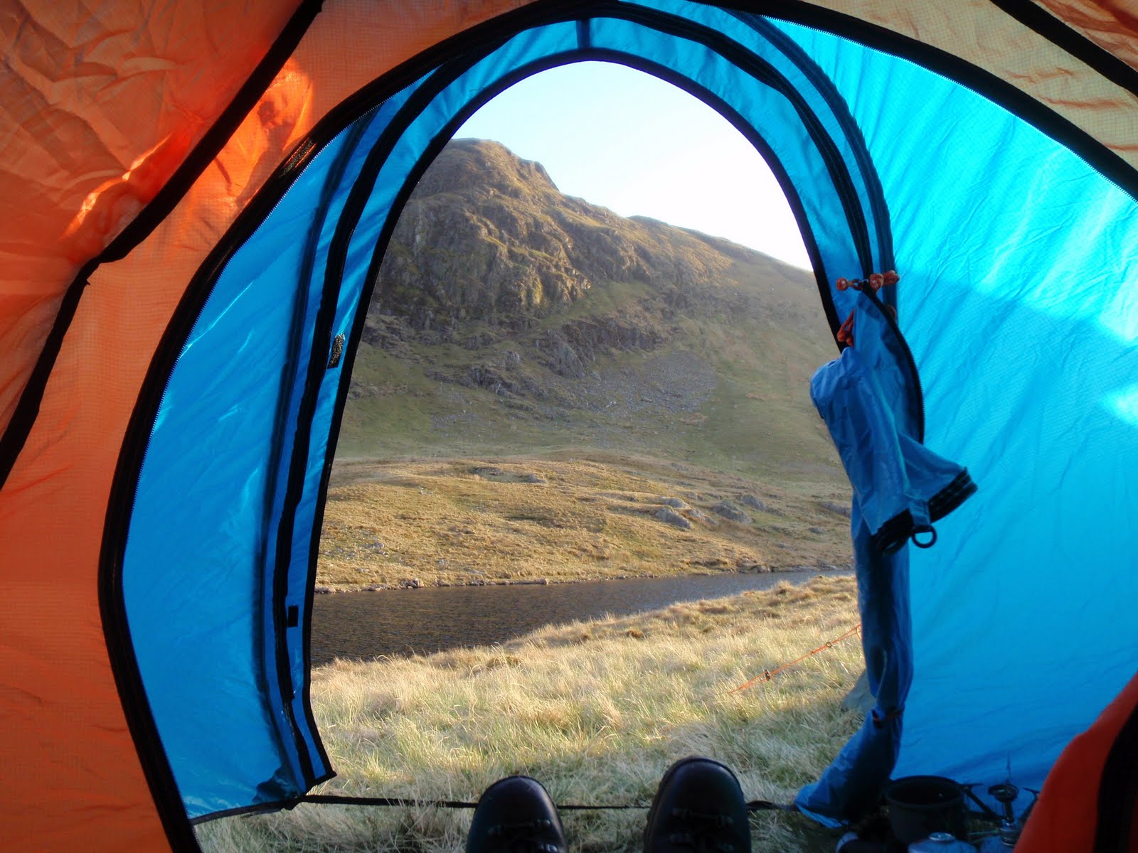
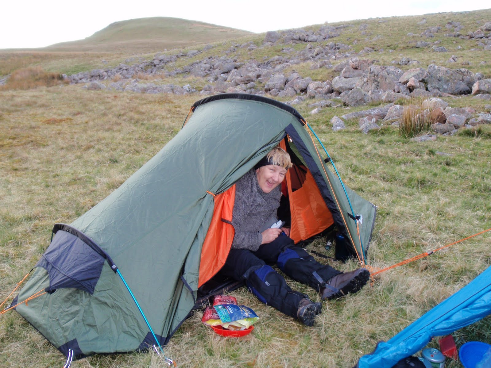
We continued to rise gently and reached Floutern Tarn at about 5.30. We were very careful about picking a camp site, and ended up close to the lake’s edge but not too close on a nice dry spot which was reasonably flat and a bit sheltered from the wind.
Next we pitched the tents which for me took forever as I’d put it away with some of the tent attached to the wrong bits of the flysheet. Chris got her Vango Banshee up pretty quickly. My Vango Spirit followed. By this time it was starting to get a bit nippy so I trudged back up the hill to find a phone signal, fabulous views across to Haystacks.
Returning to camp, we quickly got cooking. Settled on 2 curries and rice. This was just about the right amount of food and was hot and quick to prepare. Great. Then Chris came in my slightly bigger tent to do the crossword. Then although it was still light it was time to try and get warm enough to sleep. This proved hard for both of us, Chris only had a lightweight down bag with silk liner so she wore most of her clothes. I had a heavier weight down bag and was warm on top but my feet were like lumps of ice. Eventually when it finally got a little bit dark, I took my socks off and rubbed my feet together and then they got warm and I managed to sleep. My self inflating sleeping mat was good, a huge improvement on Karrimats.
I’m not sure how much less I would carry to keep the weight down, my tent is heavier than I thought, 3 litres of water is heavy but I used most of it. The most important thing we didn’t have was any rum!

Please visit Map and Compass and learn how to interpret a map with me and my navigation partner, Cath.

Great Whernside 090510

Another late start, but much faster journey to get to the Dales. This time to Kettlewell, only an hour and a half and parked up for £3.50 (I know the car park fee is incredibly boring but I put it in so I have the right money the next time).
I really needed the navigation skills in the village as managed to set off very confidently up the wrong lane and had to retrace my footsteps to get to the other side of the stream. Once I’d done that it was a very obvious path all the way. I passed a small campsite which appealed to me as it looked very clean and neat and it had a sign with lots of NOs.
From there, a steady ascent across grassy fields along the top of the valley, quite steep drops to the side. Only a few well behaved sheep i.e. they ran away rather than at me, although I am now so wary of them.
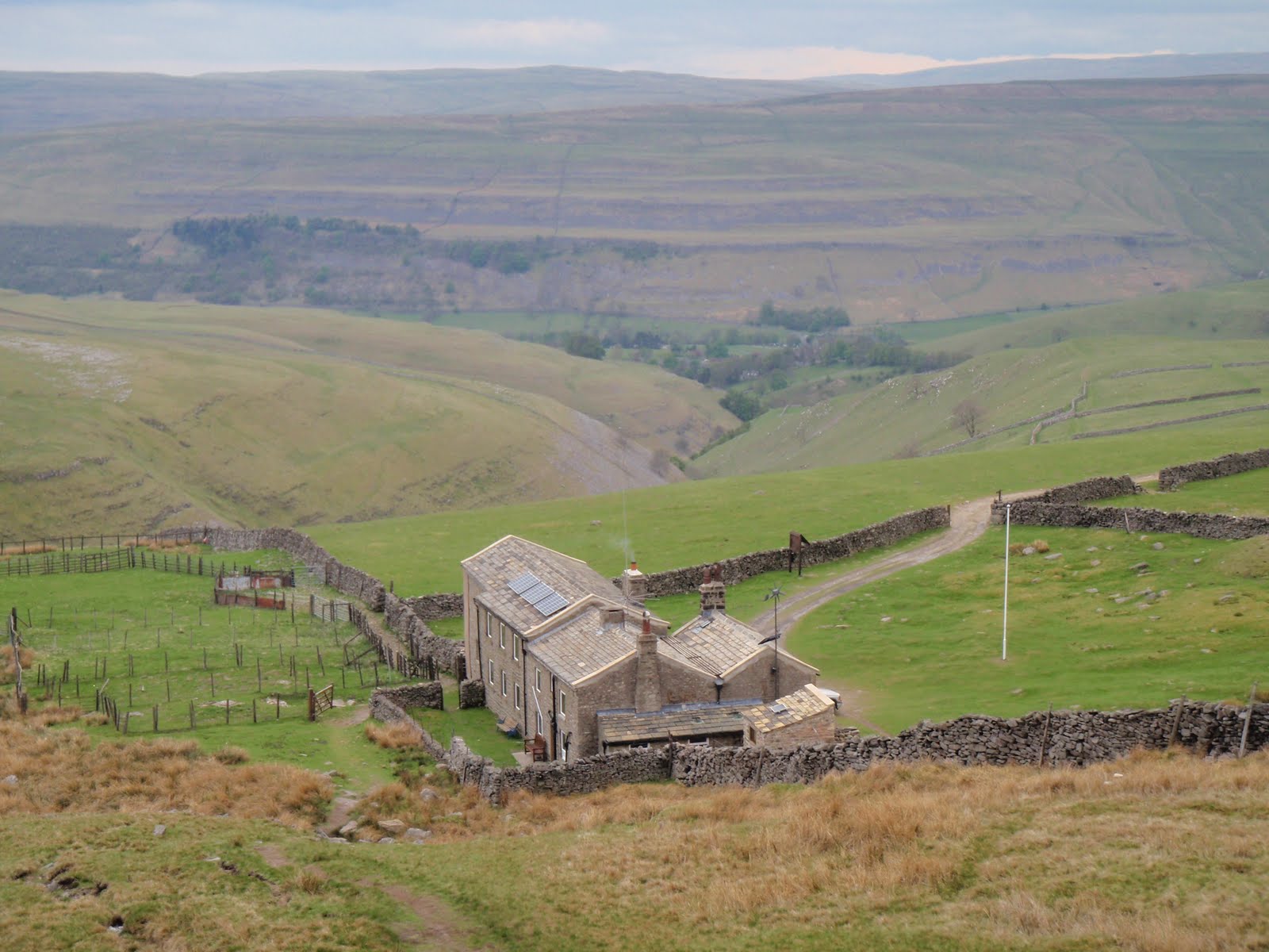
The half way point was delightfully named Hag Dyke and was clearly showing as a building, this turned out to be a scout hut in a fantastic location, no neighbours anywhere in sight, overlooking the valley with only a track to reach it. It’s an old farm house and has solar panels and a wind turbine. Inside some scouting people were sitting enjoying a blazing fire. This took me by surprise as I thought they would be out scouting (for girls ha ha that is so bad)!
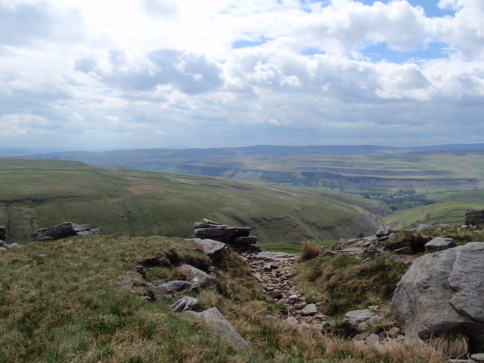
I climbed up a short steep section and stopped at the top to have my cheese and mustard sandwich. Then it was time for a good chunk of fairly flat ground with another steep section to reach the summit.
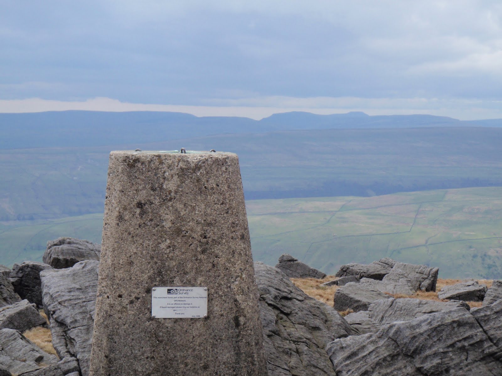
It got a bit cold and threatened to rain but held off for the whole walk. Great Whernside is 704m and Whernside is 736m which strikes me as a bit illogical but there you go.
At the top, 2 people were wild camping. They had quite a big tent so I felt a bit sorry for the bloke who was packing it up and looked like he would be carrying it.
Whizzed back down in half the time it took to get up. Had to go and look in the outdoor shop but managed to restrain myself from going mad.
This was the first outing for my new very light rucksack which is called Villain. It really is light and has a lot of bits and pieces to twiddle with and certainly did the job just fine.
Great walk, managed to walk away some of the blues of the last few days.

[googlemaps https://maps.google.com/maps?f=q&source=s_q&hl=en&geocode=&q=Great+Whernside,+Kettlewell+with+Starbotton,+Craven+District,+United+Kingdom&aq=0&oq=great+whernside&sll=53.66049,-2.04408&sspn=0.016021,0.052314&ie=UTF8&hq=&hnear=Great+Whernside&t=m&ll=54.160977,-1.998482&spn=0.015076,0.025749&z=14&iwloc=A&output=embed&w=300&h=300]

Please visit Map and Compass and learn how to interpret a map with me and my navigation partner, Cath.

Night nav on Blackstone Edge 07/05/10

This one is specially for Peter M!
This was a welcome relief from the real nastiness that’s been exposed because of the E word. I was in good company and we didn’t even touch on it.
BB met me and CD at the biker pub in Littleborough. BB assured me that the bikers were mature and quite nice really. Sadly just these ones were not very handsome, well there was one who I wouldn’t have pushed out.
After a quick meal and change of clothes, CD and I drove up to Blackstone Edge and parked up in the layby at 8.30. It was very cold and windy so we headed off first south along a good path and then east along a less good one, all in daylight. We had to go fast just to keep warm, and this was with both of us wearing 4 layers. As we approached the road, we could see the moor was on fire but we worked out it wasn’t blazing just where we were going and also that the wind would be taking it away from us.
By the time we got to where we had to cross the road, the light was going and here we made our first mistake, by thinking we were further down than we were. This meant we were not the side of the gully that we thought so we did a quick change of plan to follow the gully. We stood under the pylons in the dark trying to take a bearing, Cath convinced the electricity was affecting her compass but actually it was her phone. Basically we stomped around in the clumps and dips for a while  and eventually reached the top of the gully.
We had decided to aim for a spot height, however both forgetting or not seeing that there was a water way to cross! Another change of plan, to handrail along the drain which we did, using timing and pacing. And then lo and behold, in the middle of all this nothingness, was a little footbridge and post to cross the drain. So we did, then more pacing to find the spot height. This was harder to locate as the local map is marked in 5m contour intervals and so a spot height would be hard to find in daylight let alone at night.
We next headed due West for another drain with a name like Cold and Windy Drain which we found although it was about 20-30m beyond our estimation. We followed this drain to the fence whereupon Cath said “what’s that white line?” “it’s the road!” At this point, she decided to roll around on the tussocks. First Aid was not needed. I dazzled some cars with my beacon headlight and soon got back to our cars. It was nearly 11.30 by then!
When I got home I was so cold I had to put the heating on, make a hot water bottle and drink whisky. I didn’t really warm up properly until lunchtime today!

[googlemaps https://maps.google.com/maps?f=q&source=s_q&hl=en&geocode=&q=Blackstone+Edge+Reservoir&aq=1&oq=blackstone&sll=54.482,-2.898778&sspn=0.031414,0.104628&ie=UTF8&hq=&hnear=Blackstone+Edge+Reservoir&t=m&ll=53.660509,-2.044058&spn=0.015258,0.025749&z=14&iwloc=A&output=embed&w=300&h=300]

Please visit Map and Compass and learn how to interpret a map with me and my navigation partner, Cath.
Caudale Moor 030510

It was so hard to motivate myself to get going and really start on the training. Last year I was totally driven and obsessive which meant I just got on and did the walks. This morning, I could happily have stayed in bed. Finally decided on Stony Cove Pike and didn’t even leave the house until 10.15. Stopped for diesel and got to the FREE (a welcome first for the Lake District) car park at Kirkstone Pass pub at 12.30. Just over 2 hours later I was at the top of Stony Cove Pike with great views across to High Street. It was sunny but cold and windy so was thankful for my winter kit. Then at the top it started to hail and this turned to sleet on my way down. Got back to the car about 3.50 and was home just after 6.30, having stopped at 50% sale in big outdoor shop, but failed to find anything at 50% to grab me so bought a day glo shirt at full price! I hadn’t been able to find Stony Cove Pike in any of the Wainwright books before I left but put this down to what ended up as a bit of a rush. The mystery is now solved, AW refers to this perfectly well named Pike as Caudale Moor. Honestly, he is so annoying. Had a very nice day and being less driven seemed to make this a much more enjoyable experience!

[googlemaps https://maps.google.com/maps?f=q&source=s_q&hl=en&geocode=&q=Caudale+Moor,+Lakes,+South+Lakeland+District,+United+Kingdom&aq=0&oq=caudale+&sll=53.053941,-3.886577&sspn=0.016251,0.052314&ie=UTF8&hq=&hnear=Stony+Cove+Pike&t=m&ll=54.482007,-2.89876&spn=0.014959,0.025749&z=14&iwloc=A&output=embed&w=300&h=300]

Please visit Map and Compass and learn how to interpret a map with me and my navigation partner, Cath.

css.php