Brass monkeys. So cold I feared for my toes.
The idea of the Valley of Lights, as well as being fun and a nice thing to do before Christmas, is to give support to all the local businesses affected by the terrible amounts of flooding in the summer.
I parked in Mytholmroyd at Russell Dean or Pearl and Dean in my head and then managed to miss the train because I thought it went at 5.35 but actually it was 5.25.
Still the 6.05 turned up on time despite alerts to the contrary and 10 mins later I was in Todmorden. Chris arrived as I came out of the station having had a free ride and we pedalled off to the high school gym where we registered, picked up snacks and drinks and more lights for our bikes which were being dished out by David Dodwell, lovely to see him again, he was a marshall.
This was all a bit rushed and then we went to Bramsche Square to assemble all lit up.
About 100 of us set off with a car and Mountain Rescue in front setting the (very slow) pace.
We stopped at the big lay by for a couple of mins and then went on to the JCB park where we had a long wait. Our feet and hands were alternately freezing. I had a wee behind a JCB and the steam rose up! No time for one before!
It was well below freezing as cars we passed were iced up.
Finally got going to roll down into Hebden. We were cheered all the way by the crowds which was very sweet especially as we didn’t really do much. It brought a smile to my face instead of the cold face of pain! We made as much noise as possible with our bells and whooped too.
Stopped for 5 mins then off to the Dusty Miller in Mytholmroyd. We had some beer and snacks. I could have done with hot soup but the DM not yet ready for business so not an option. Chris chatted to MR friend who was with her teenage son who Chris had delivered.
Then we got the bikes in and on the car reasonably efficiently and I went home via Walsden. After unloading at my end I had hot chocolate with rum in it and went to bed with a hot water bottle.


[googlemaps https://maps.google.com/maps?f=q&source=s_q&hl=en&geocode=&q=Hebden+Bridge+Library,+Hebden+Bridge,+United+Kingdom&aq=3&oq=hebden+bri&sll=53.685966,-2.058522&sspn=0.145577,0.482712&t=p&ie=UTF8&hq=Hebden+Bridge+Library,+Hebden+Bridge,+United+Kingdom&ll=53.741351,-2.012086&spn=0.007614,0.012875&z=15&iwloc=A&output=embed&w=300&h=300]
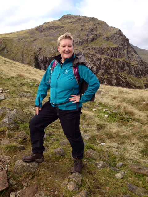
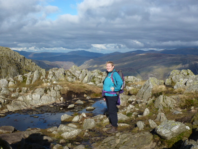
Please visit Map and Compass and learn how to interpret a map with me and my navigation partner, Cath.