Hot camping

Saturday 7th August
Carol and I set off from home at 8.30 and drove to Lancaster services. We stocked up on supplies at M&S and had a caffeine hit.
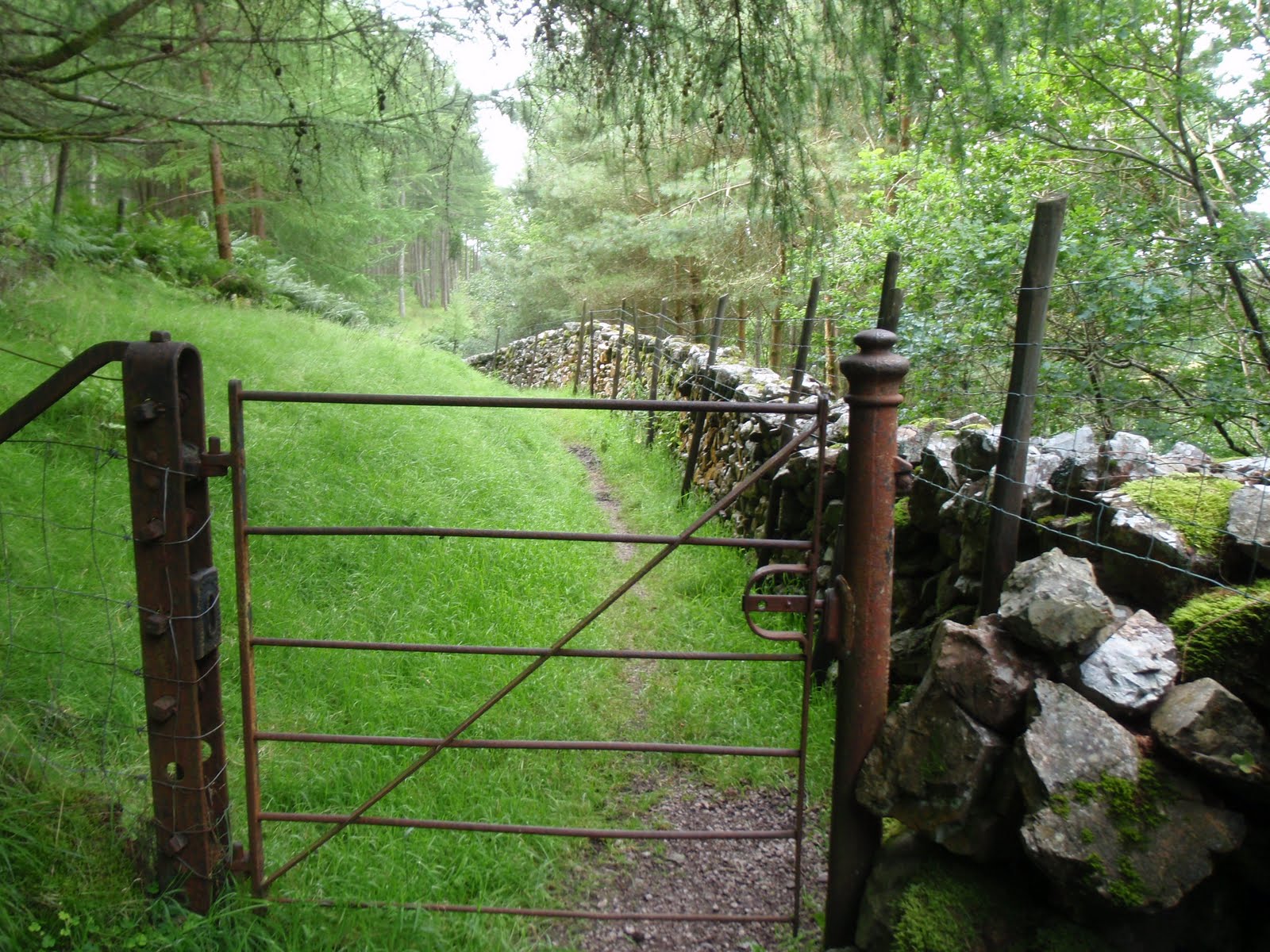
Some time later we arrived at Ennerdale Water, having eaten a picnic just after Kirkland. With the benefit of hindsight from my previous trip in May with Chris, we parked up on the roadside next to the footpath, thus cutting out a slog up the road with heavy rucksacks. We set off promptly along the footpath which seemed even more overgrown just 3 months later. Thanks to my email to the council, the bush that had blocked the path entirely had been removed, entirely. However a bit further along, a huge branch had come down but it was easy to get past it so not sure another email is required, there are probably more important things that need sorting out.
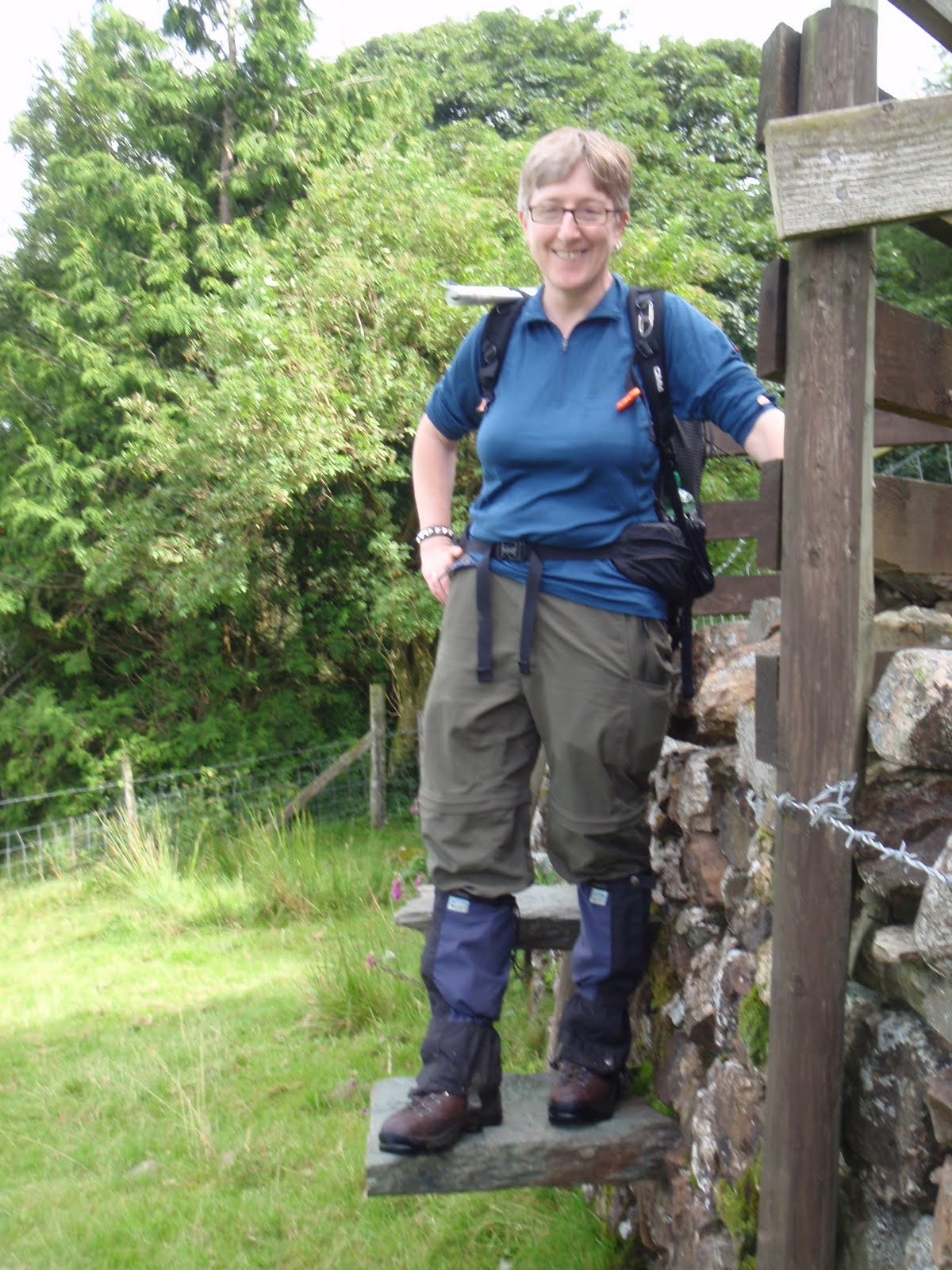
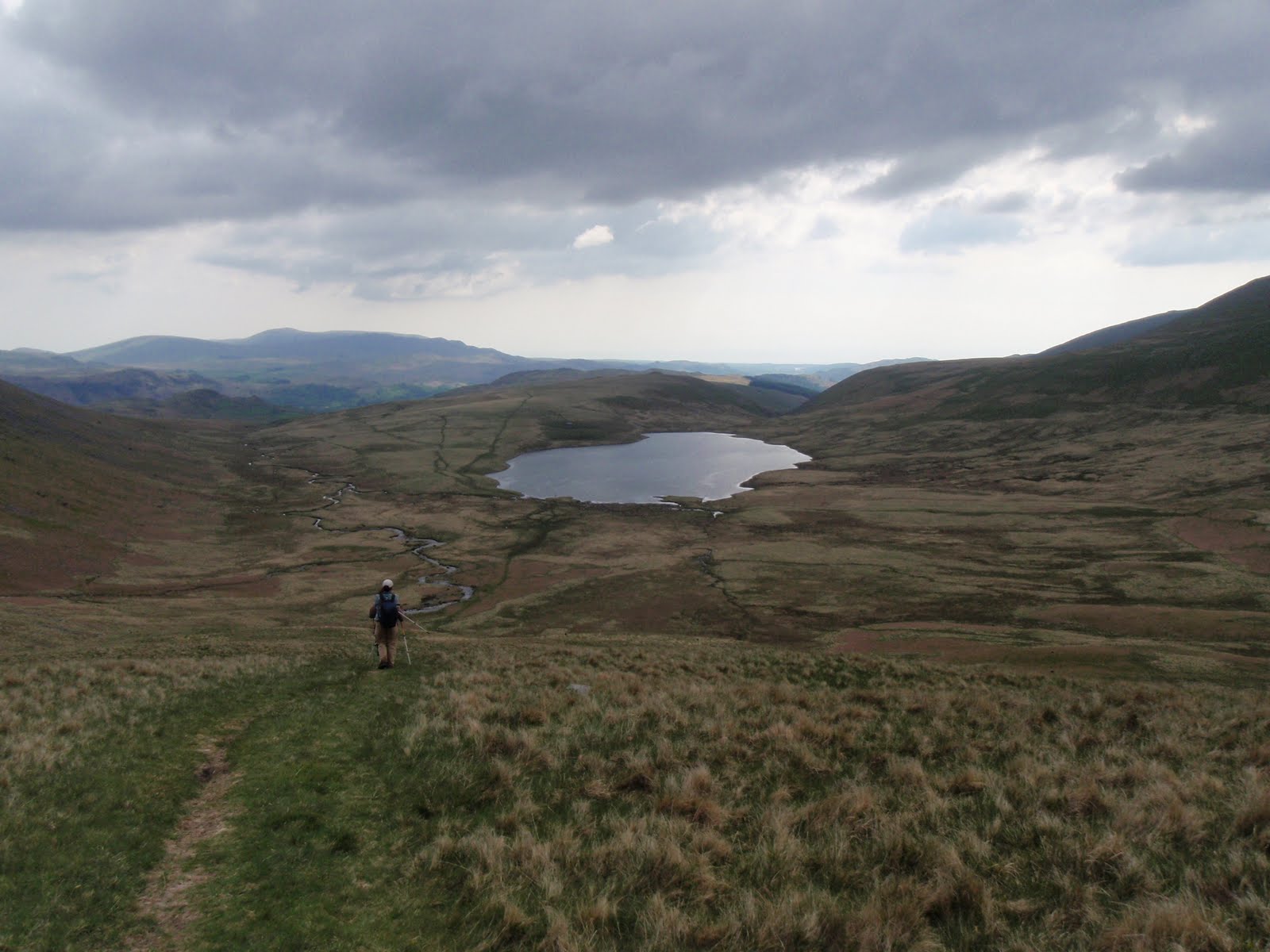
C had not got the gaiters on and it was damp underfoot, so I went back to the car and all was fine. These were very necessary as what had been desperately dry in May was now quite the reverse. We plodded slowly and steadily and took about 2 hours to reach the tarn. It is such a beautiful spot and so easy to reach. We’d both been worried that someone else would have got a pitch there before us but we were in luck and we saw no-one after a small group right at the start of the walk.
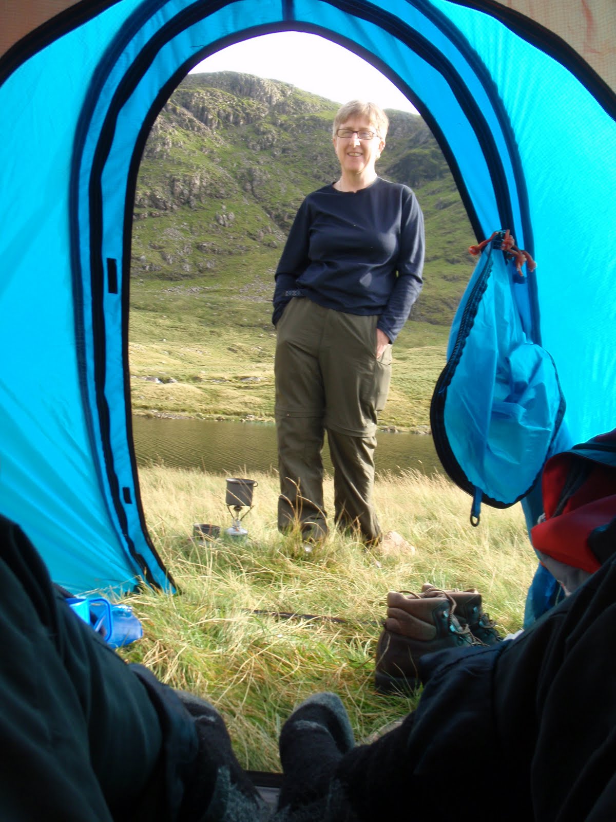
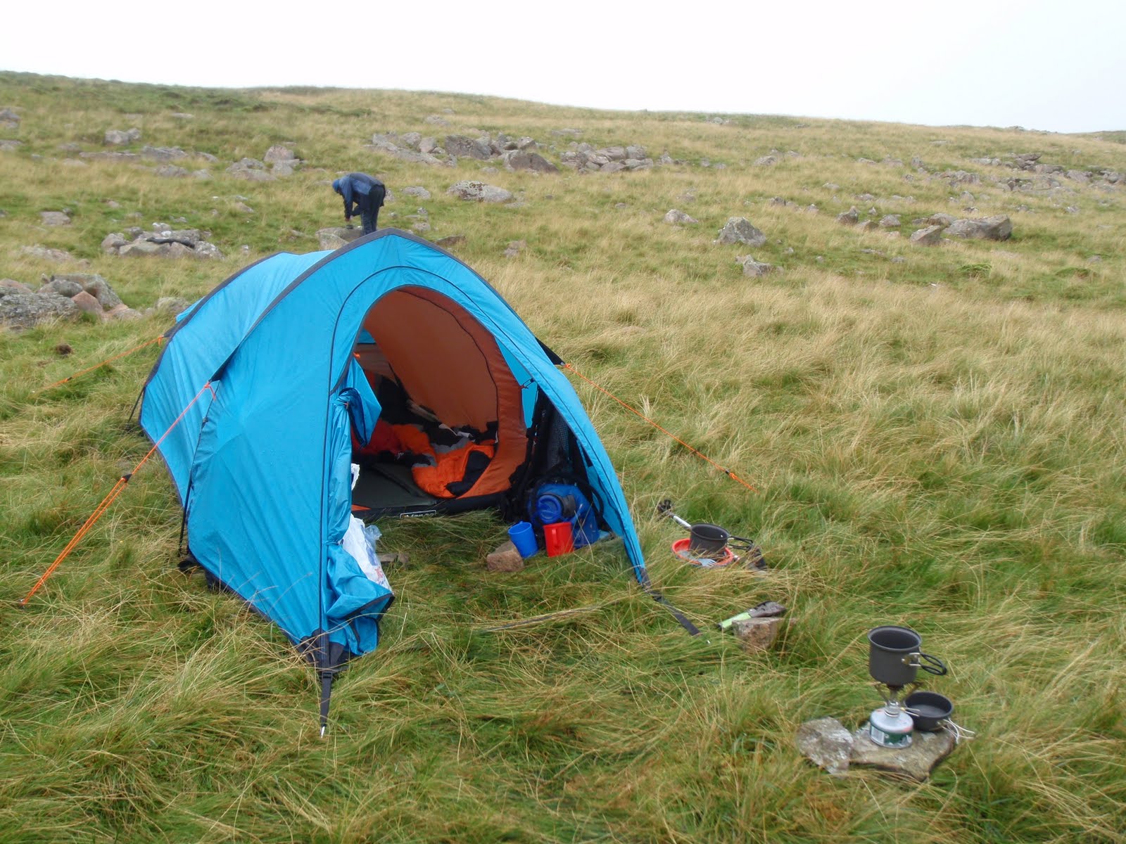
First job was to dig the latrines, job done efficiently with the iPood trowel, only 99g. We got the tent up very quickly, and made it nice and cosy, this time karrimats, then self inflating mattresses then sleeping bags. C located various stones which we used for the stove, our cups etc. We had a cup of tea and a look at our surroundings. Floutern Tarn is such a good spot for doing the wild camping. We pretty much camped in the same spot that CH and I had done in May, we couldn’t find anything flatter so there was a small slope.
I started to cook the dinner, and the minute I did we were subject to a very heavy shower so I heated up the Bombay potatoes (starter) in the rain while C languished in the tent. I didn’t actually mind at all being ensconsed in my waterproofs. For the main course, I served chilli con carne with lime and coriander rice. This was great too and C provided some buttered bread. The rain had stopped so we sat out on the rocks to eat our dinner and admire the view.
After washing up, we looked at the view again and then got in the tent as we were getting bitten although the insect repelling fabric did work fairly well. I tied mine round my neck and the wee beasties stayed away from my head at least. We did some crosswords by headlamp and drank whisky and sherry. It was remarkably warm in the tent. When we did eventually go to bed, I found I was very hot and threw everything off, such a contrast with my previous experience in this same place. We slept quite well although the next mission is to find a way to stop the sleeping bags slipping off the blow up mats. We did also slide down the tent as we hadn’t found a totally flat spot. I don’t think there was one to find.
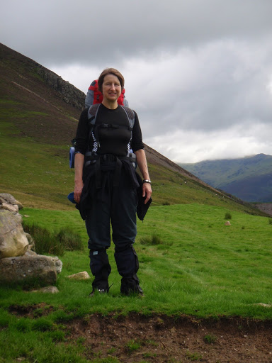
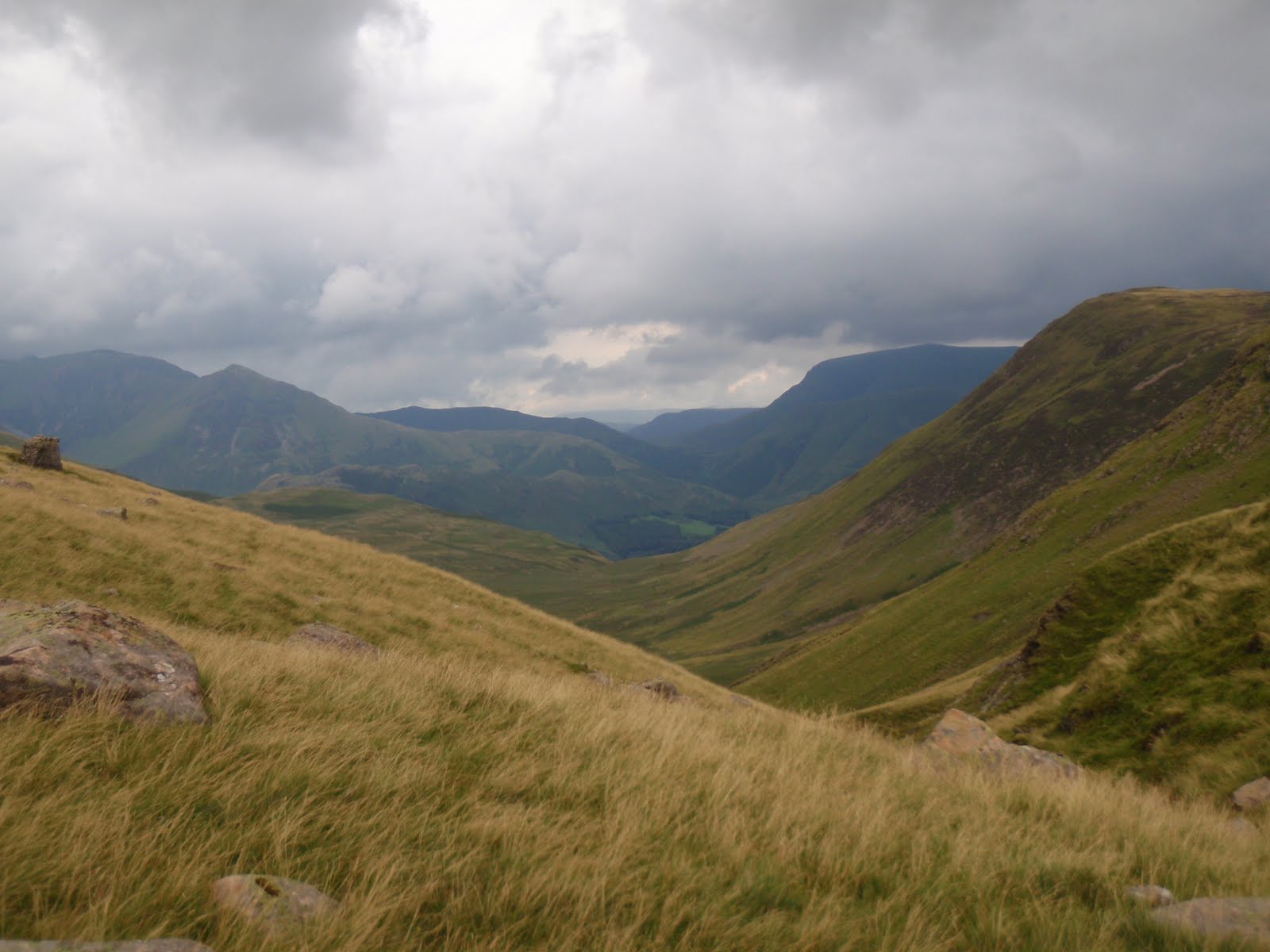
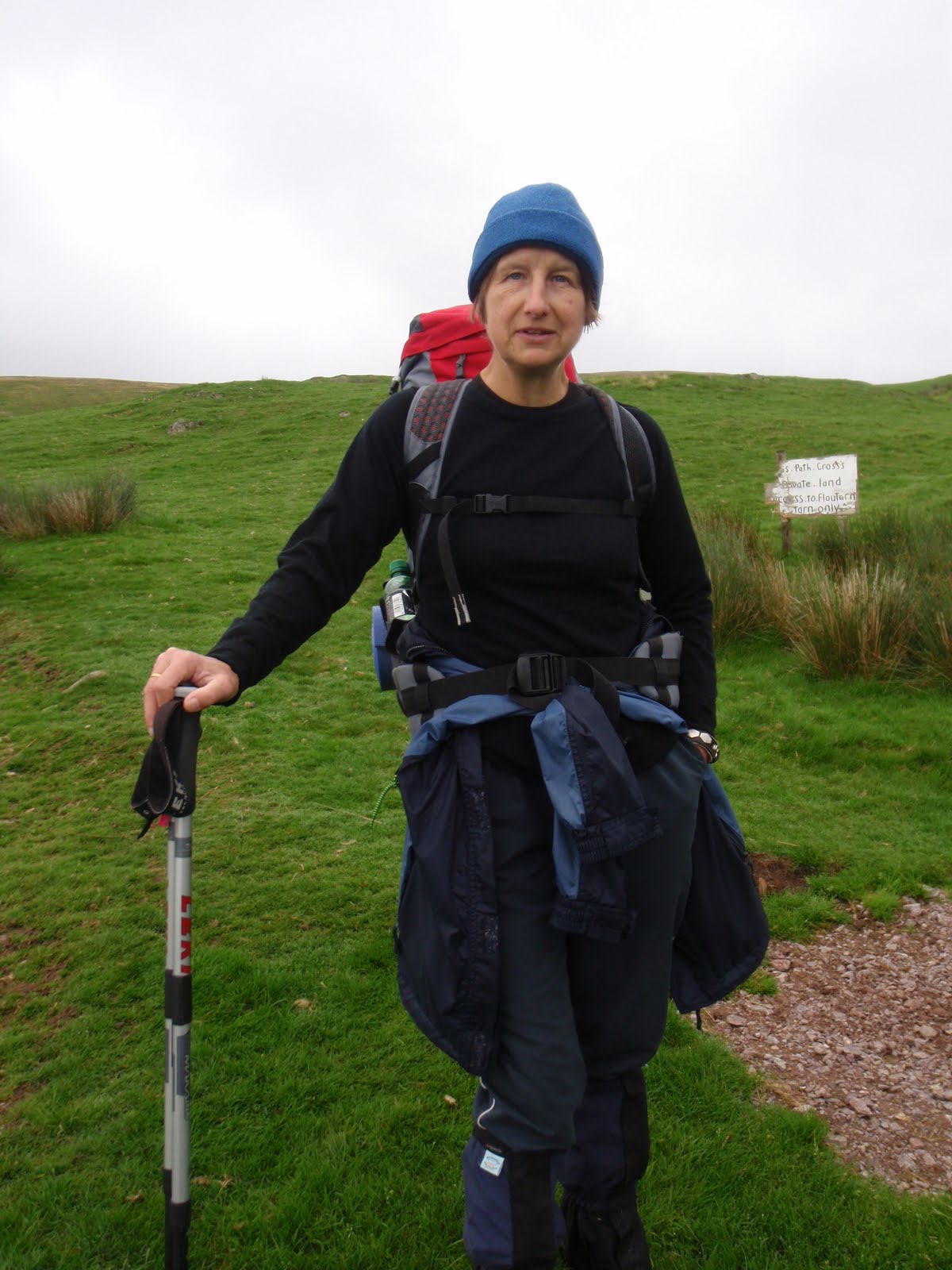
Loaded up
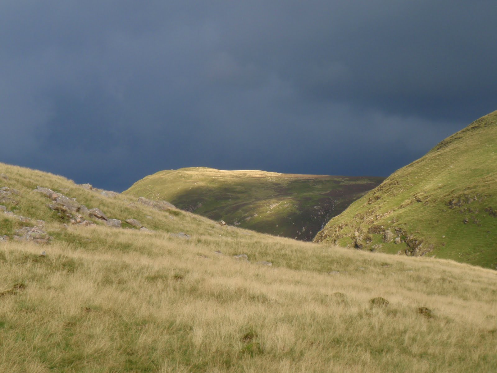
Just before the cloud burst
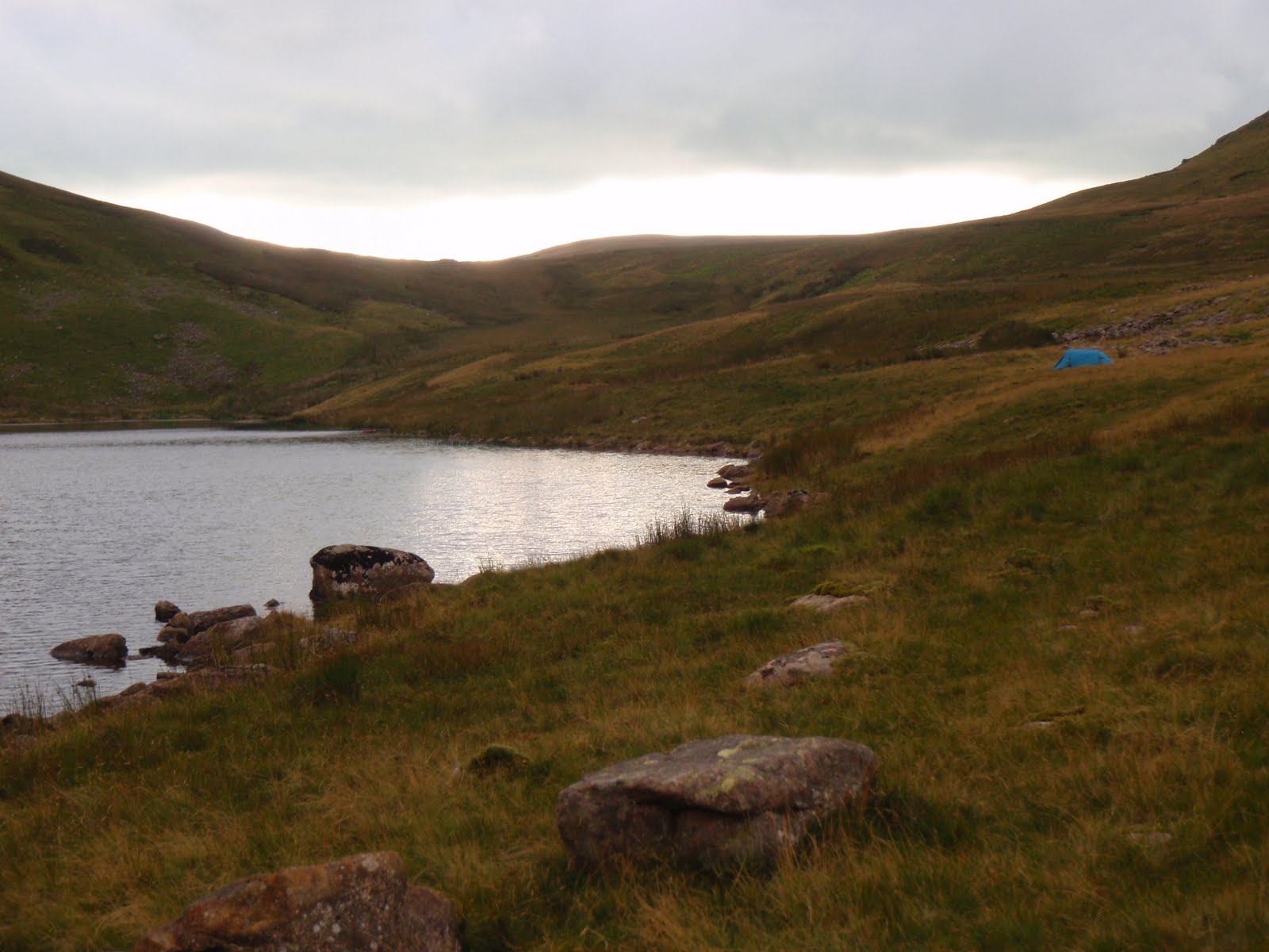
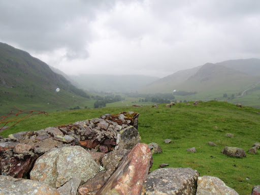
Floutern Tarn and tent

[googlemaps https://maps.google.com/maps?f=q&source=s_q&hl=en&geocode=&q=Floutern+Tarn,+Loweswater,+Allerdale+District,+United+Kingdom&aq=0&oq=Floutern+Tarn&sll=53.7924,-2.105684&sspn=0.018151,0.060339&t=p&ie=UTF8&hq=&hnear=Floutern+Tarn&ll=54.541003,-3.354177&spn=0.014938,0.025749&z=14&iwloc=A&output=embed&w=300&h=300]


Sunday 8th August
We woke up about 7ish, having slept surprisingly well. Looking out of the tent, I couldn’t see anything at all as we were in such thick mist. It had started to lift a bit by the first cup of tea/coffee. We breakfasted, C on Weetabix and me on muesli and yoghurt. Then to pack up. This does seem to take a long time and we didn’t get walking until 11.00 despite being a smoothly oiled machine.
We got back to the car quite quickly as our packs were much lighter and it’s down all the way. We then drove round to a car park near the western shore of Ennerdale Water and walked with our lunches to the beach to eat. This was very private but as the water was a lot higher, there was a lot less beach.
We strolled around a bit of the lake and then did a small diversion to get back to the car park. C was all for swimming in the lake and I was all for climbing up to the Pinnacles. We agreed to come back and do these things although these would be separate activities as there is no way I am swimming in the lake. Wild camping fine, wild swimming is not for me!
We got back in the car, drove up and around the top of the area along the A66 and then dropped down to Patterdale. Our B&B was Deepdale Hall and was set off the road. It’s a nice old farmhouse but we weren’t sure in the long run whether it really deserved its 4 stars. 3 stars yes. We got in and I had first dibs in the shower, lovely to get clean as I had managed to get really grubby! We both got ourselves presentable. I had to go and ask a man downstairs not to play his music as it was disturbing us. C had a good go on this one! He stopped immediately although he did seem a bit on the surly side. I worked out later he was the son of the household which consisted of father Chris aged 58, son Jimmy about 30 with wife Robyn and the twin girls. The man playing the music turned out to be Jimmy.
Time for dinner so we drove to the White Lion in Patterdale. We sat next to a couple from Nuneaton who entertained us whilst we waited for dinner. The man was an inveterate liar but this wasn’t totally terrible as he kept digging himself in. They’d both done the C2C several times. Pub grub, C had steak pie and chips and I had vegetable risotto and salad. Not much rice in the risotto and very greasy but quite filling.
Back to Deepdale and we settled in with some very strong wine that just appeared magically out of my suitcase. Nice to have a book to read, I managed to find where I’d stopped in Sarah Waters’ Little Stranger. Harder than it sounds, I’d got the book free as a download but it came in 2 x 3 or 4 hour files, so every time I  did anything else with the iPod like change a playlist, it meant I had to start again at the beginning. This was so annoying I’m surprised I managed to get through having half the book read to me. A treat then to have a real book to hold and turn the pages, also much quicker than being read to.
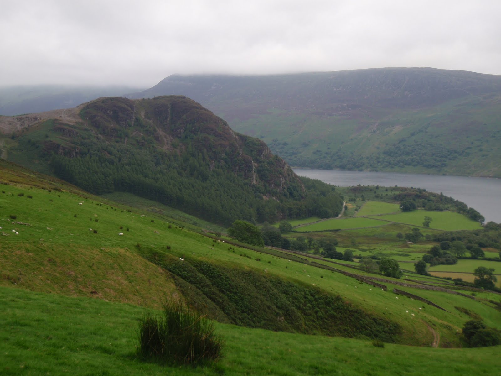
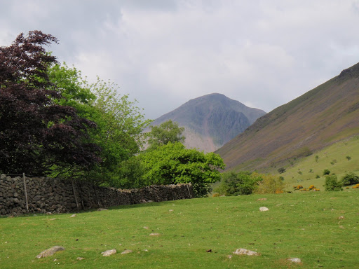
Bowness Knot
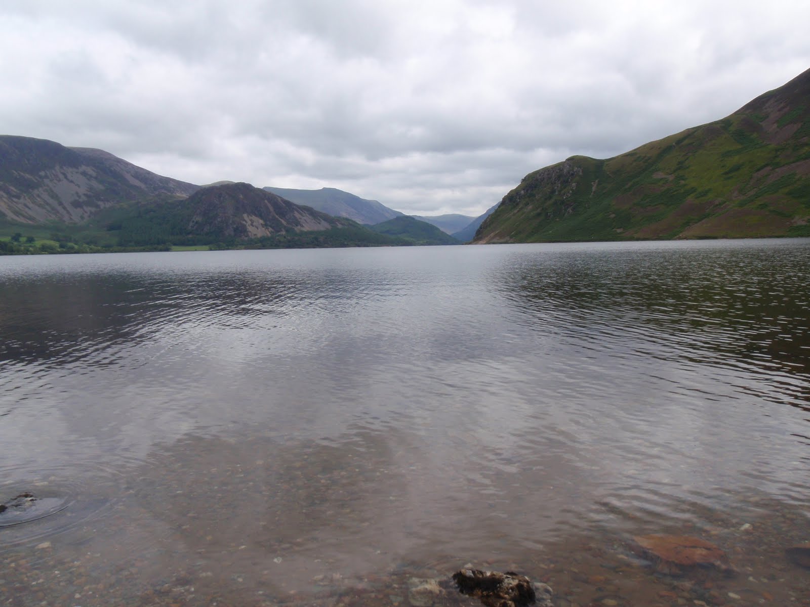
Ennerdale Water
Hot camp site


[googlemaps https://maps.google.com/maps?f=q&source=s_q&hl=en&geocode=&q=Ennerdale+Water,+Ennerdale+and+Kinniside,+Copeland+District,+United+Kingdom&aq=0&oq=Ennerdale&sll=54.540988,-3.354172&sspn=0.017826,0.060339&t=p&ie=UTF8&hq=&hnear=Ennerdale+Water&ll=54.522576,-3.381643&spn=0.014944,0.025749&z=14&iwloc=A&output=embed&w=300&h=300]

Monday 9th August
Got up at 7.15, had another lovely shower. Breakfast at 8.30, we both had the full English. Not bad and generous but a bit on the greasy side and I wasn’t over fussed on the sausages but admit I am very fussy about sausages and not even sure why I ordered it as don’t usually eat a huge breakfast. I also had melon and cereal and yoghurt. The coffee although real was too weak for me. I paid up and Mr Grumpy Bum still looked surly so we decided we wouldn’t be going back there. Shame, as the location is excellent.
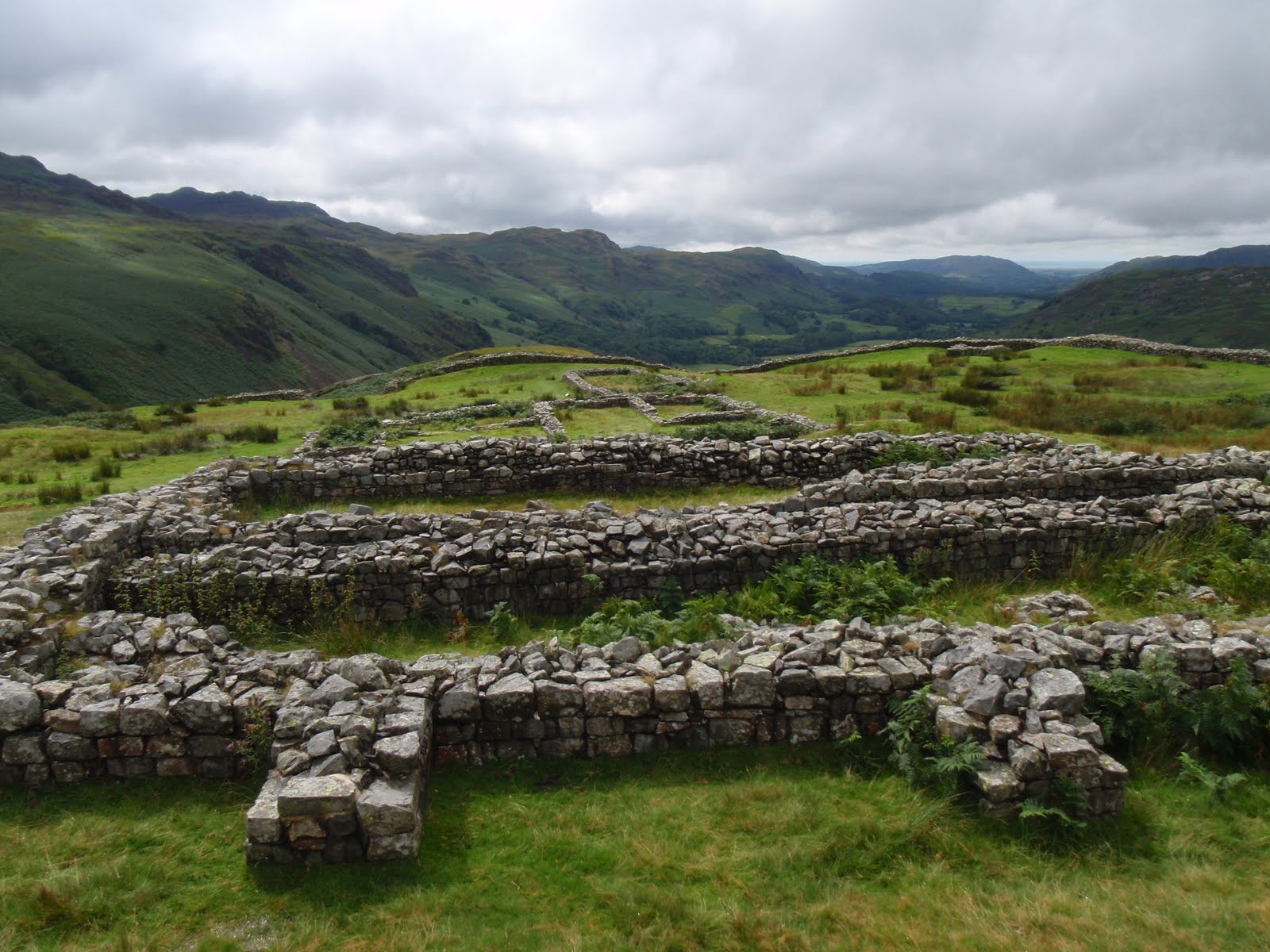
We drove down the Kirkstone Pass to Ambleside, it was incredibly misty so didn’t see a lot. Parked up and went straight to a cafe for me to have my caffeine fix. Then into one or two outdoor gear shops. C bought postcards and stamps. I left my broken watchstrap at a jewellers to be replaced and Nigel said it would be half an hour. He lied and it was nearly an hour which meant we were late back for the car park but lucky as the car parking police were not around. I bought a present for a friend who has a birthday later in the month. C got a pasty for lunch from Greggs. It rained all the time we shopped and then stopped as we drove out to the Wrynose Pass. We tackled the Hard Knott pass too with a few intakes of breath from the passenger seat and my foot down on the very steep bits. Stopped at little car park and walked up to Hard Knott Roman Fort, we lunched on the north wall near the corner lookout. The fort is excellent but we missed the bath house as I’d forgotten to check in Wainwright who mentions it, before walking up. Our original plan had been to climb Hard Knott itself but although we stayed dry there was still a lot of mist coming and going.
We returned back up Hard Knott pass, seems a lot easier going West to East. There was a very irritating gold coloured open top Merc driven by a child with an older male passenger, blasting out loud music and who then got stuck going up Hard Knott so I waited until he had managed to get going again. Then he had stopped for no reason so we passed them and they were behind us. Then they turned round to go the other way. Then they came up behind us again so I pulled in for them to pass and that was the last of them. With luck they had a flat tyre some time soon as they were driving me nuts.
We got back to Ambleside at about 4.30 and then headed for home. Short stop at Lancaster services and home at 6.30. Great break.

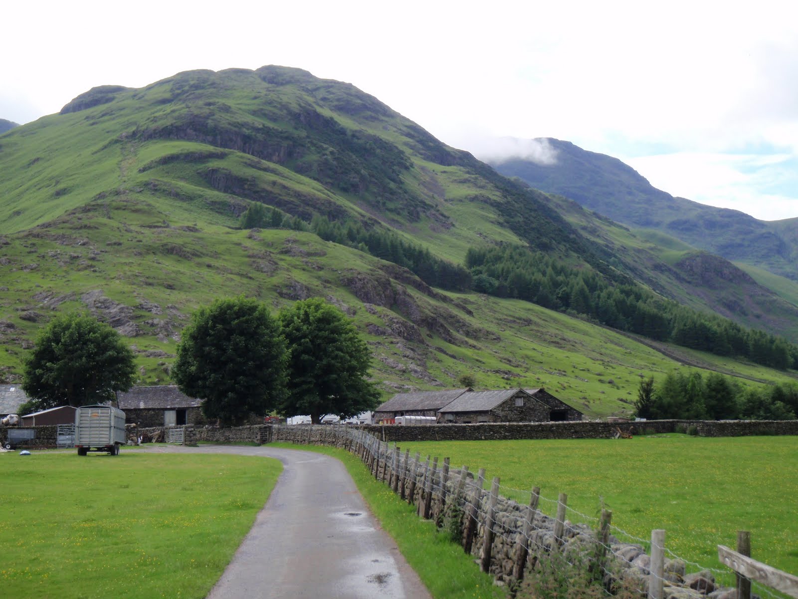
Hard Knott Pass
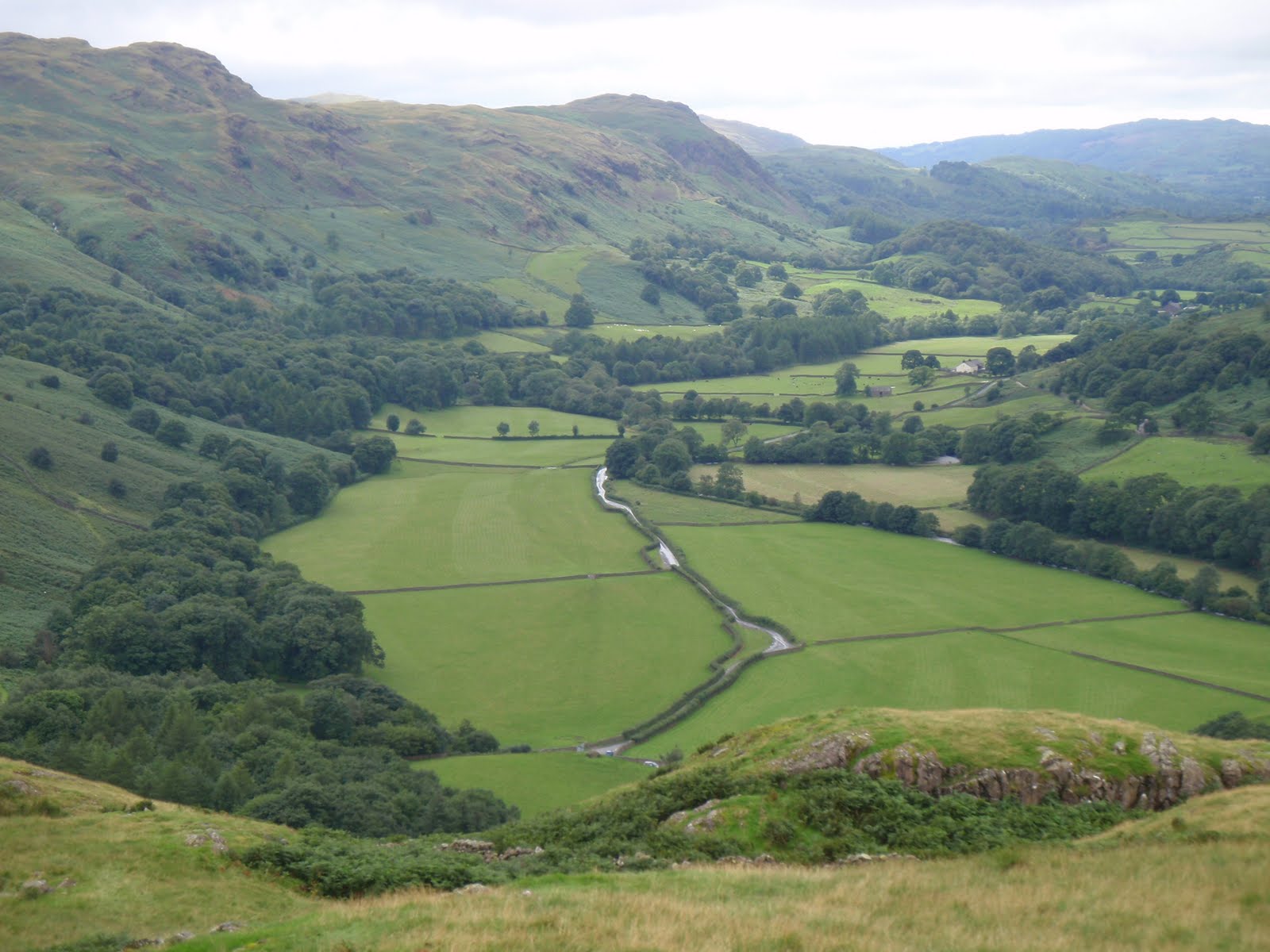
View towards Boot
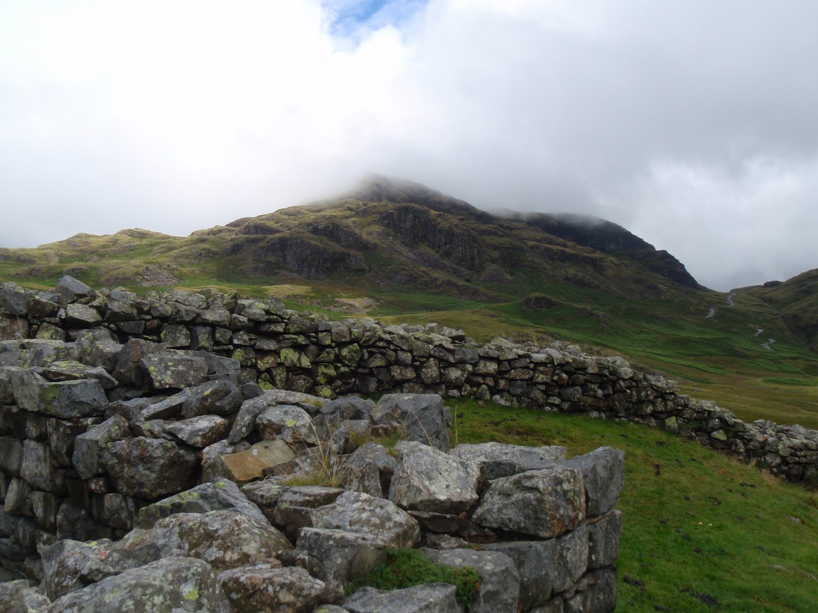
Hard Knott
Hard Knott Roman Fort

[googlemaps https://maps.google.com/maps?f=q&source=s_q&hl=en&geocode=&q=Eskdale,+Boot,+United+Kingdom&aq=1&oq=boot+esk&sll=54.298195,-3.269634&sspn=0.031555,0.104628&ie=UTF8&hq=&hnear=Boot,+Cumbria,+United+Kingdom&t=p&ll=54.402846,-3.185692&spn=0.014988,0.025749&z=14&iwloc=A&output=embed&w=300&h=300]

Please visit Map and Compass and learn how to interpret a map with me and my navigation partner, Cath.
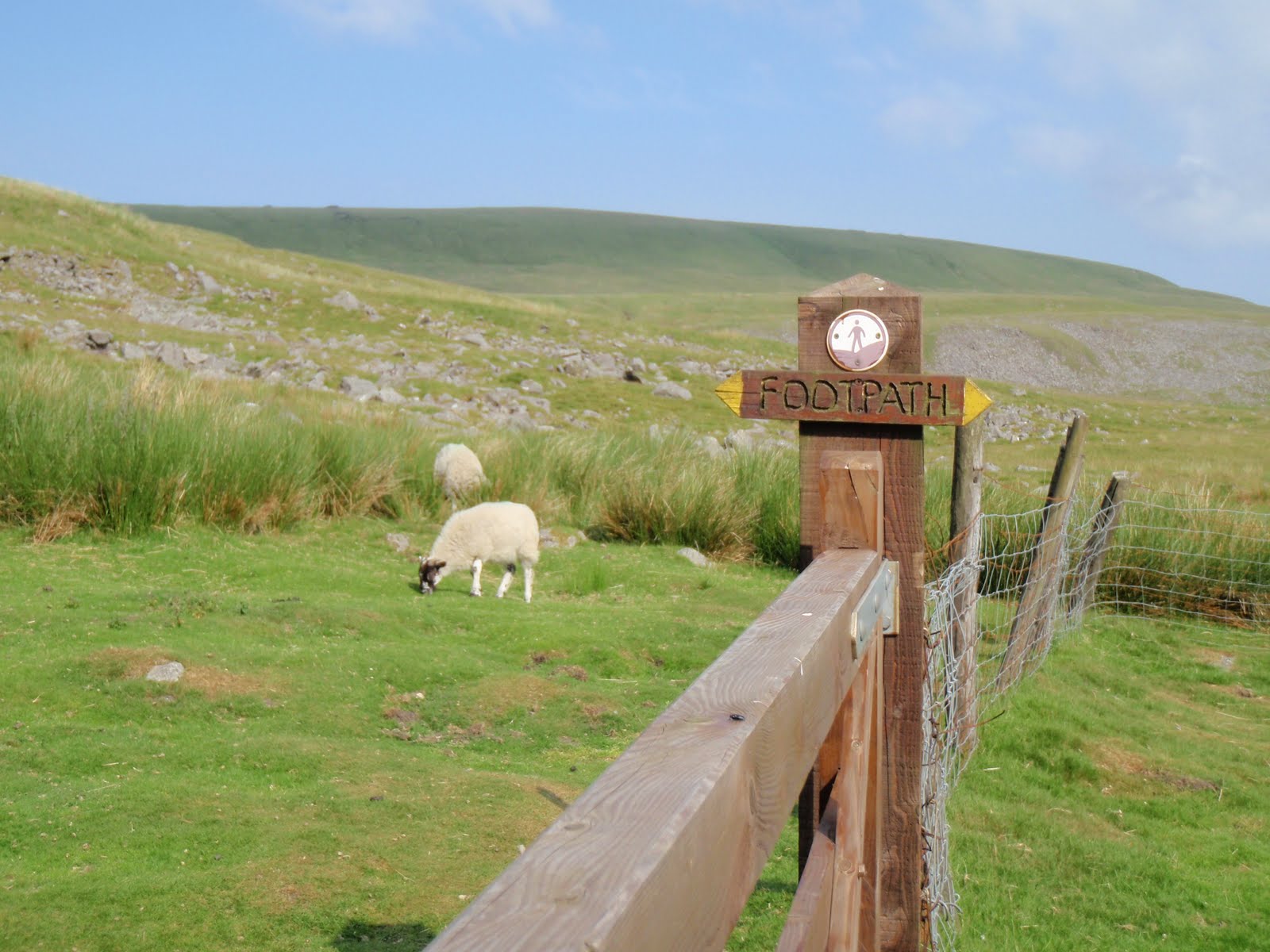
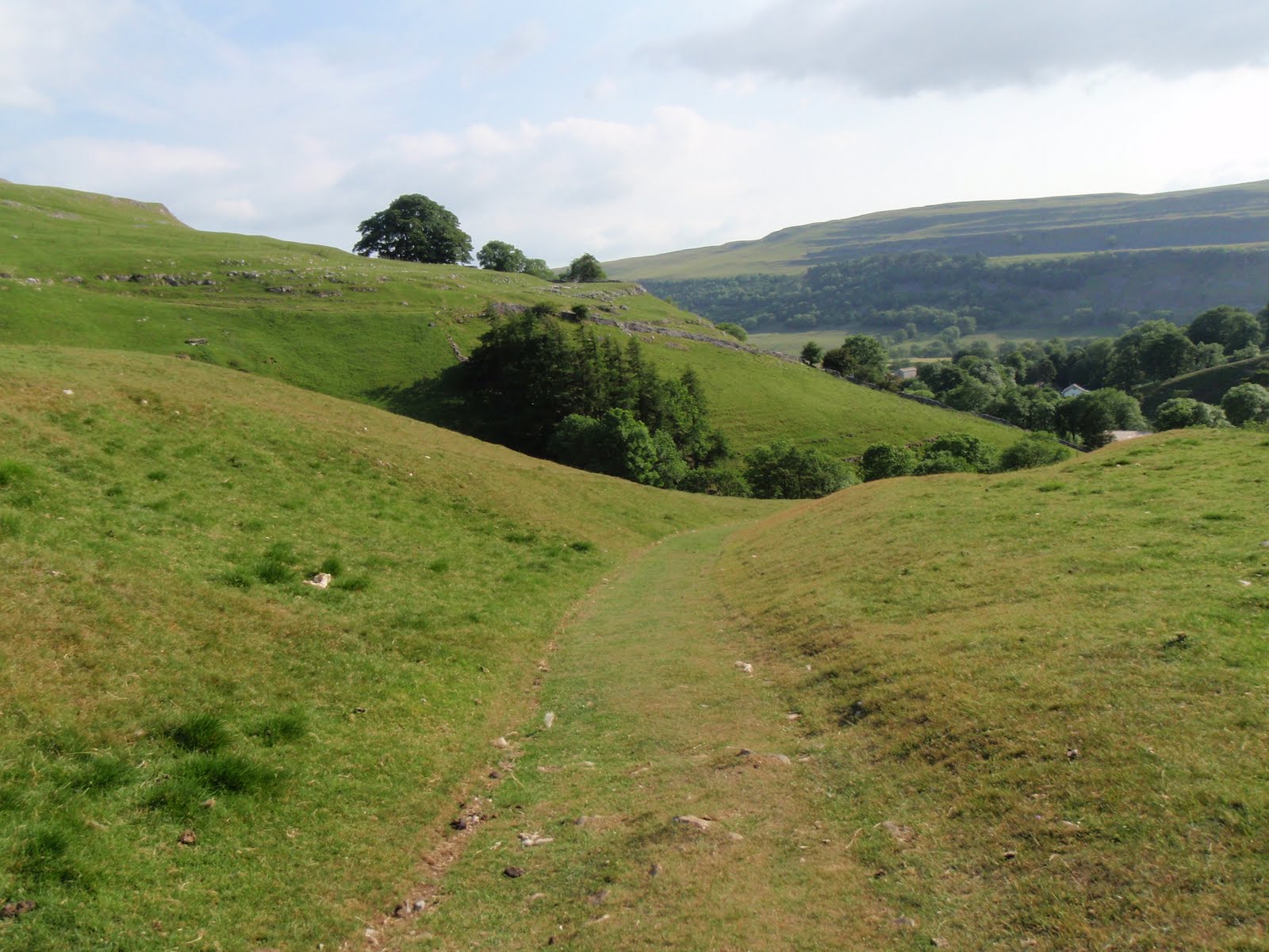
Great Whernside

27th June, yes this is a bit late.
This was my final bit of training before the Italian job. I’d cocked up because I’d booked a day of annual leave but then completely forgot to block it out in my diary. Then I gaily filled up the entire day with appointments that couldn’t be cancelled.
After our lovely weekend in London for Liz’s 50th on Hampstead Heath but not in the cruising zone, we stayed in a B&B in somewhere a bit obscure in Leicestershire where we got told off for being late. I was hot and definitely not in the mood for this so grumbled. We got home the next morning at about midday and this gave me lots of time to get up to the Dales for a quick hill walk.
Arrived at Kettlewell, whizzed up Great Whernside and back down very quickly. Knee behaved moderately well.


[googlemaps https://maps.google.com/maps?f=q&source=s_q&hl=en&geocode=&q=Great+Whernside,+Kettlewell+with+Starbotton,+Craven+District,+United+Kingdom&aq=0&oq=Great+whern&sll=53.714152,-2.13122&sspn=0.018185,0.060339&t=p&ie=UTF8&hq=&hnear=Great+Whernside&ll=54.160977,-1.998482&spn=0.015076,0.025749&z=14&iwloc=A&output=embed&w=300&h=300]

Please visit Map and Compass and learn how to interpret a map with me and my navigation partner, Cath.
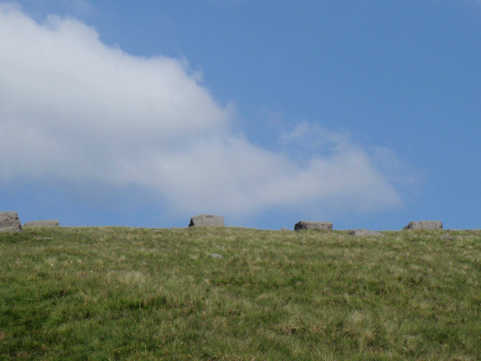
Bow Fell 200610

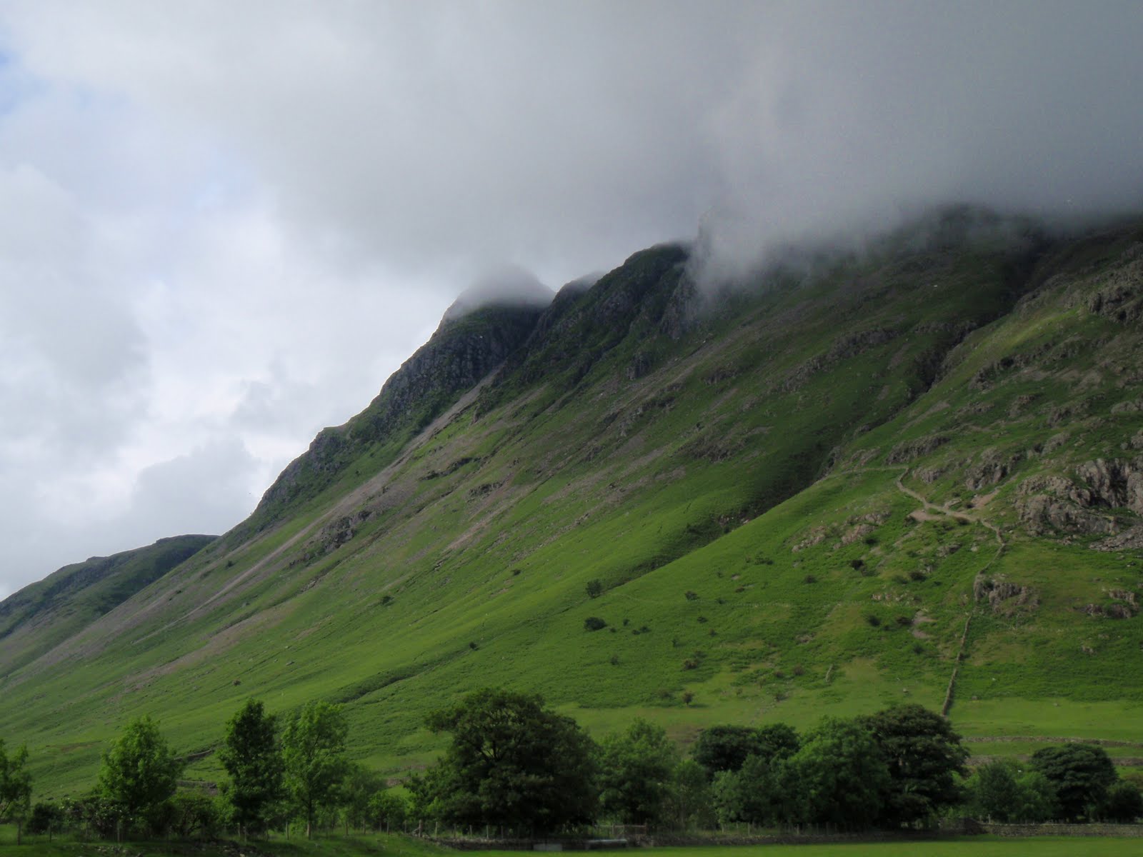
This was so different in so many ways. The weather was great all day apart from a little bit of mist on the top, it was warm and sunny and there was no rain. I left home just after 7.30 and was on my own so travelled faster arriving at the NT car park at Dungeon Ghyll at 10.00. It was already bursting and I was the last person to park, very unlike the half dozen cars parked up last week. Clearly Bowfell is a fair weather walkers’ mountain!
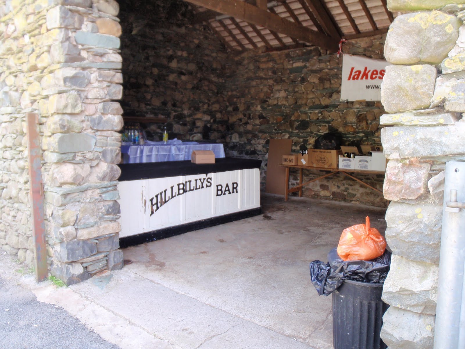
As I did the 1.5 km walk in to the start, there were no seagulls on the meadows. Maybe they were after very juicy worms in the damp last week? Got to the farm, here the place where the people in red had been doing very serious weird things had been turned into a campsite although everyone seemed to be leaving. Next I got to the farm and what had been Dobbin’s stable had turned into the Hillbillys bar. This was a big surprise as I had been going to have a chat with Dobbin but he wasn’t home. The stable had been transformed, they must have given it a very good and thorough mucking out as it was unrecognisable.
I’d spent Saturday unable to put any weight on my right knee and had struggled to get up and down the stairs, so I strapped up my knee quite tight. I took it fairly easy on the first steep part of the ascent and had rests as necessary. At first I wasn’t sure it was going to hold up but then it didn’t seem to be getting any worse and I decided it was OK to continue.
The parts I’d fairly skipped up last week seemed to be most arduous but this was mainly down to the heat. I do prefer a lack of it so why am I climbing the biggest mountain in Italy in July? At least it won’t be hot on the top.
At one stage I seemed to be playing leap frog with a man and boy. At first I thought they were father and son. The boy was like a gazelle, terribly thin and long long legs. Then they skipped off piste and I wasn’t so sure about the relationship anymore. I think this was gay extra mural activity!
In the good clear light it was very easy to see the start of the Climbers’ Traverse, plus the enormous cairn is a bit of a giveaway. I can see why I missed the path in the mist but we were very wise not to even try this last week. It climbs steeply and then skirts around with a fair bit of exposure. Wainwright makes very light of it but I can’t think of any of my regular walking companions who would be able to do it. It was pretty exciting and makes you know you are on a mountain.
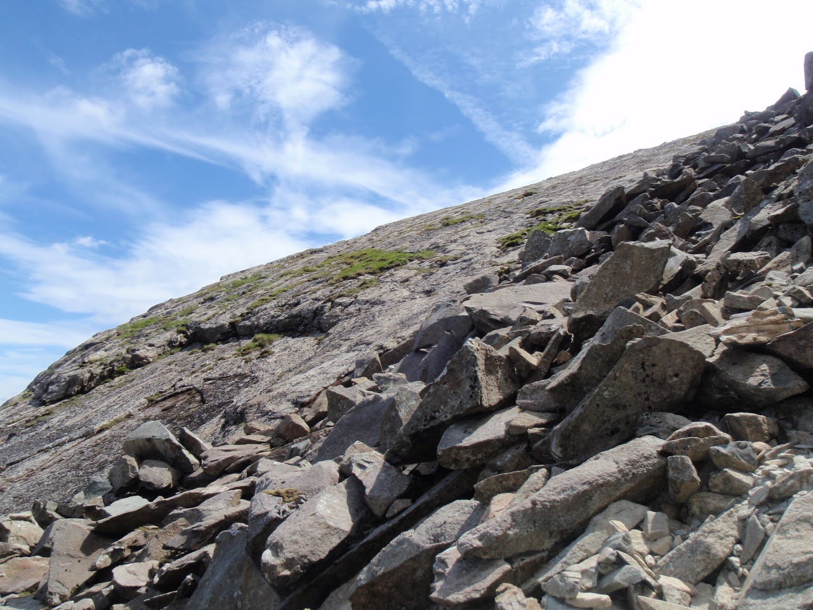
I then came across a couple who were looking for Cambridge Crag and the River of Boulders. The woman was a bit gung ho and told off her man for messing about reading where to go in the book. I decided to leave them to it – they went off back the way we had all come. I used my brain to locate the path, the bottom of the Great Slab and the path up the boulders. One of AW’s unmissable features was the spout of water coming out at the bottom of the crag. This was not happening as it’s been so dry. I also noticed that where Chris and I had heard lots of running water last week, I couldn’t hear any at all this week.
The pair then caught me up and the woman patronised me and gave me some advice about using poles (bloody hell, if anyone else tells me what to do with my poles, they are looking to get one round their neck!)
At the top of the Great Slab, I turned right and quickly got to the top of Bowfell. It’s very rocky at the top, and guess who were sitting on it. I stopped for 10 minutes to eat my lunch and then started down at 1.20.
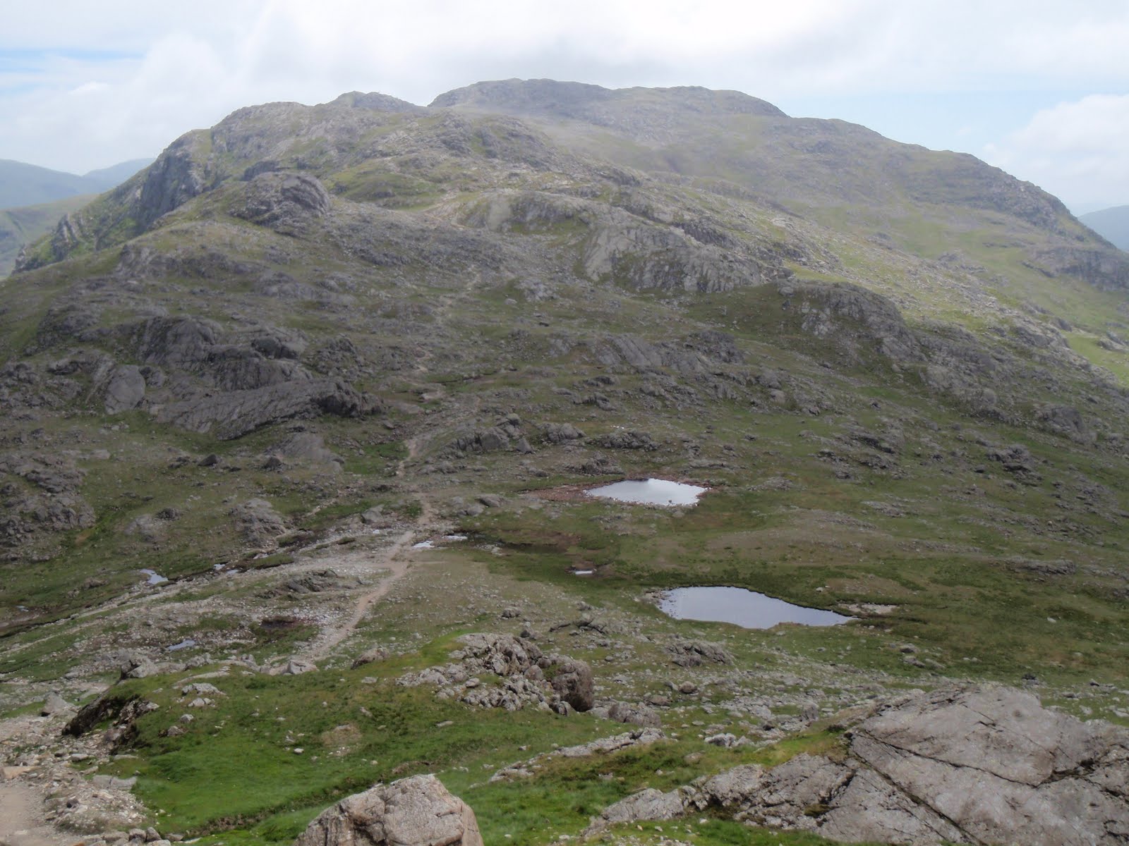
I went down the easy way via Three Tarns, there are only two visible as one has dried up, not sure if it’s quite ready for a renaming but there are definitely signs of drought in the Lakes.
An uneventful descent and got back to the car really fast at 3.40.
I seemed to come across lots of people who didn’t return my hellos. Maybe they weren’t loud enough. I swore at them all quite quietly once I’d got past them!
Got home by 6.10 with a completely recovered knee!

Start of the Climbers’ Traverse
River of Boulders
The Slab
Three Tarns

[googlemaps https://maps.google.com/maps?f=q&source=s_q&hl=en&geocode=&q=Bow+Fell,+Eskdale,+Copeland+District,+United+Kingdom&aq=2&oq=bow+fell&sll=53.684599,-2.064403&sspn=0.016012,0.052314&ie=UTF8&hq=&hnear=Baugh+Fell&t=m&ll=54.43331,-3.166809&spn=0.059908,0.102997&z=12&iwloc=A&output=embed&w=300&h=300]

Please visit Map and Compass and learn how to interpret a map with me and my navigation partner, Cath.
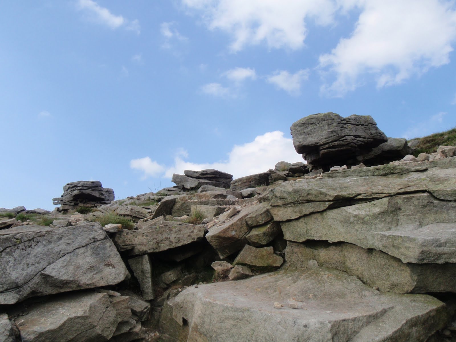
Nearly Bow Fell 130610

The government could save a lot of money by disbanding the Met Office. How did fine and cool turn into WET and warm?
I picked Chris up just after 7.30, this in itself was not bad for a Sunday, I got up at 6.15. We stopped on the way at Lancaster services for vital coffee and lunch items from Marks and Spencer, well the coffee was from the Costa Coffee outlet. This time it was almost overstaffed and we got served quickly.
We had another little break in Ambleside for walking poles for Chris from Trespass. I got some socks and a replacement work rucksack as mine now deposits little black bits everytime I get anything out of it. Great cheap shop, C also bought some trousers. Funny how she and I seem to gravitate towards the retail outlets when we are together!
We got to the excellently named Dungeon Ghyll and were fleeced by the National Trust car park to the tune of £6. I must remember to try to find out car parking information before I set out, this was a shame as C has NT membership.
So at 11.30 we started walking. The first 2 km are flat tarmac which is good to get warmed up. Then it’s up from  the also delightfully named Stool End Farm. There were a lot of people dressed in red doing something strange with what looked like a block and tackle (no more double entendres, I can’t cope!) They didn’t seem to be moving much, apart from a large plastic tank of who knows what. We surmised that they could be Cave Rescue people working out how to get someone out of a hole, but why they’d do this without an actual hole I don’t know. They all wore red helmets.
Some cheerful chaps passed us, and we wended our way up, taking waterproofs off, putting them back on, getting wet through, being too hot, being too cold. The first stretch is quite steep and a little bit scrambly, then it flattens out for a good 1.5 km which is a nice easy walk. By this stage we had no view at all but the path is very good and so there is no problem about going near the significant drop from the plateau. The only thing we didn’t see was the Climbers’ Traverse and this was really just as well as it wouldn’t have been safe in these conditions.
I was getting hungry so we decided to continue to Three Tarns in the rain, and this was quickly reached by another shortish steep section. We saw 2 not at all cheerful men coming down and they were all we saw on our ascent. And this is one of Wainwright’s favourite mountains.
We lunched at Three Tarns, my quinoa salad (home made, not M&S) seemed to be afloat in seconds thanks to the extra portion of rainwater. A nutritionally challenged young couple expressed admiration of our lunches but this was only because all they’d had was 2 bars of Kendal Mint Cake and a banana. More fool them, the best bit is the lunch!
I was anxious about attempting the summit in the hideous conditions so we decided not to. The mountain will be there for the next time. As soon as we started to descend, literally 5 minutes off the top, the rain stopped. I’d got all my clothes on by this point so as we dried off, all the layers came off. Chris was visibly steaming! Even though it stopped raining, the mist stayed on the top of Bowfell so we still wouldn’t have seen anything from the summit.
This has to be the best mountain so far in the Lakes for me. Despite the crap weather, it was stunningly beautiful so another trip is definitely on the cards for this one.
We got back to the car park. Boots off and then the very handy Famous Walkers Bar. Needless to say, we had a debate on were the walkers famous or was it just the bar? I still don’t know the answer. The pub web site is indicating that it’s a bar for a single walker. Lynne Truss will be tearing her hair out!
Chris ordered a pot of tea which we took outside to a damp bench. We were surrounded by lots of very tame birds – sparrows, robins, chaffinches and a blue tit. Some of them looked like they would perch on my hand. The tea was so strong it gave us new chest hairs (4 bags in the pot) and our rest was punctuated by the local mad person sitting behind us chuntering softly away to himself. He wasn’t even very old but at least he has somewhere to sit so I guess this is care in the community.
Drove back via the short cut which leads onto the Wrynose pass – though short this was pretty exciting driving. Then back to Tod to drop C off. I finally collected the Easter egg which has been lurking in Chris’ cupboard for several months. This is the egg I won in the hairdressers’ raffle which I was giving to Carol. Every time I get my hair cut, my hairdresser asks about it and now thinks that Chris has eaten it!
Home damp and hungry but quickly sorted out. Great day.

[googlemaps https://maps.google.com/maps?f=q&source=s_q&hl=en&geocode=&q=Bow+Fell,+Eskdale,+Copeland+District,+United+Kingdom&aq=2&oq=bow+fell&sll=53.684599,-2.064403&sspn=0.016012,0.052314&ie=UTF8&hq=&hnear=Baugh+Fell&t=m&ll=54.43331,-3.166809&spn=0.059908,0.102997&z=12&iwloc=A&output=embed&w=300&h=300]

Please visit Map and Compass and learn how to interpret a map with me and my navigation partner, Cath.
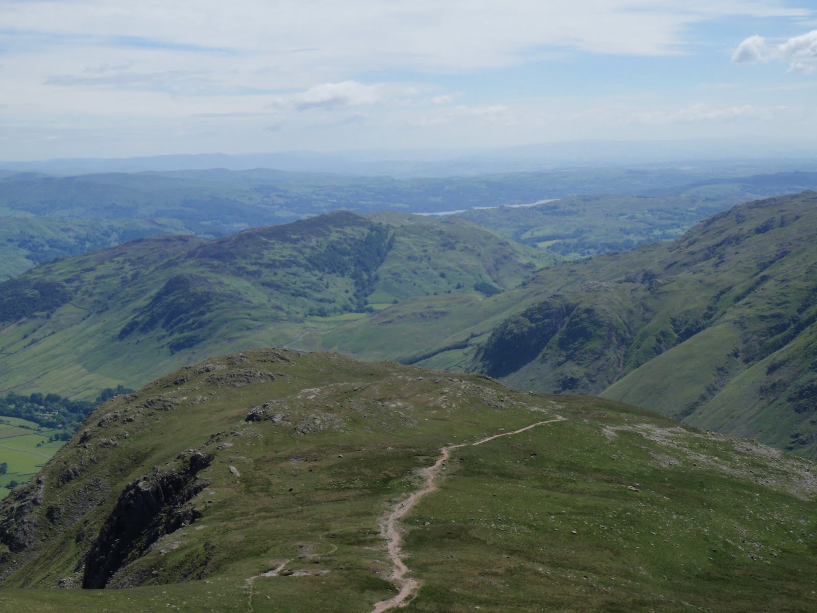
Sca Fell 310510

Sunday 30th May
This was a lesson in planning. Do not imagine you can easily camp in the Lakes on a Bank Holiday weekend Sunday. After an interesting drive across Wrynose and Hardknott passes, (wow my car is so good on those bends and even did the 1 in 3 with no trouble), I found that all the camp sites in Eskdale and Wasdale were full. I was starting to think that this would be a wild camp after all, then I remembered the lovely farm I’d stayed in last year with Clem and pals. After many hours of driving, I had to stop for a call of nature but guess I was getting a bit worried and didn’t see the nettle! Ow! Did have the presence of mind to grab some dock leaves for a later application! Even though it was another 40 minutes drive to Low Cock How, (is this a question?!) it was worth it as Dorothy and Mr Bradley welcomed me and I joined the other 2 tents in their field/garden. I’d managed to drop the metal gate closure onto my forefinger (in my panic to find somewhere) but not too serious an injury. I quickly got the tent up. The Bradleys were both very kind and let me use their phone so I could ring home and say I had somewhere to kip. No signal in their yard this year!
I cooked up some nice beef casserole and brown basmati rice, as in heated up. No matter, turned out a treat and the casserole was not at all bad. I washed it down with some Glenkinchie and a bit of chocolate! Read a few pages of Evil under the Sun and then slept quite well, certainly warm enough in merino wool baselayer.

Monday 31st May
Woke about 6.30 and went back to sleep only to find the next time I woke that it was 8.00 a.m. How did that happen? On my way back from the loo (in my sleep attire), I bumped into Mr Bradley who decided this was the time to tell me all about his bore hole (oh yes indeed), and also his battles with the local planning department and how to beat them, not to forget his future projects. I got a bit cold while deciphering all this – Mr B has a very strong Cumbrian accent, but it still amazes me how hard this family of 3 work – 1000 head of sheep, 50 head of horse, plus cows, camp site, B&B, camping barn and riding. Mr B and Dorothy had taken what sounded like only their 2nd holiday abroad ever, earlier this year, to Gran Canaria – I tried hard to imagine them in the sand dunes or the Yumbo Centre but hey, they had a great hot holiday! I warmed up with breakfast of muesli and yoghurt, this washed down with coffee from a coffee filter bag. This is a very lightweight way to have a half decent cup of coffee.
I struck camp, albeit a bit later than I’d hoped and arrived at Wasdale Head National Trust car park just after 10.30, where they charged me a whopping £5.40 for the day, the money grabbing gits.
Left the car park at 10.50 and set off gaily, little knowing what lay ahead. It was warm and sunny for a while and then warm without the sun. I followed the path, stopping to take a photo of a woman and her kids – she did ask me to do this! At the first main junction I could see that the way I needed to go was straight across the plain rather than down to the tarn, so I did and met up with the path coming up from the tarn thus saving quite a chunk of time. Then it was a steady gentle climb up to a grassy plateau. I passed a group of 4 women who had a certain look and continued up the slope. Stopped for my first lunch before attempting the steep bit at which point the 4 overtook me. This was good as I could see them ahead of me all the way up. The steep bit really was just horrible. Scree that did one step up and and 2 steps back and seemed to go on forever. I plodded away and rested as necessary which was quite a lot! A man going down stopped so that he wouldn’t knock stones on my head which was nice of him but he was a fell runner and seemed to be throwing himself down the scree which was also wrecking the path I was about to use. Grrr. Guess I was getting fed up with the scree by this time, I tell you Wainwright never mentioned anything about that, this route was the only safe one according to him. Finally got to the top, had my 2nd lunch (reward), wandered over to Symonds Knott and rested a bit before tackling the descent. I allowed myself a drink stop every 15 mins and a slightly longer one at 30 mins, I took it very carefully but I like the downs and was off the scree after just over 30 mins. I had a short chat with a couple of guys in training for the Lower Alpine Mountain Marathon, one of whom said “we’ve been walking for SIX hours!” (my walk was 6 hours 25 minutes). Continued onwards, much faster on the plateau, another short chat with a couple who had taken a path that petered out (not on the map) who seemed to think the NHS pays for Mountain Rescue. I tried to disabuse them but then got lectured on walking poles and how I must use 2 not 1. I’m sure I’ve been enthusiastic about 2 poles myself at times, but at the moment I don’t have enough hands for 2 (map, compass in one) and am strengthening my “floppy” knees (technical term from physio at work!) by building up the muscles around the knees by only using a pole when absolutely necessary. I left them to follow my own short cut which gave some sheep a nice surprise and then raced back in the late afternoon sun for the last half hour. 900m of climb, not bad!
A long drive home but thanks to a very smooth operation at home, got unpacked and sorted in less than an hour.
NB To the best of my knowledge, the Bradleys are not part of a gay mafia.

[googlemaps https://maps.google.com/maps?f=q&source=s_q&hl=en&geocode=&q=Sca+Fell,+Eskdale,+Copeland+District,+United+Kingdom&aq=3&oq=sca&sll=54.475944,-3.111333&sspn=0.062838,0.209255&ie=UTF8&hq=&hnear=Sca+Fell&t=m&ll=54.475923,-3.111362&spn=0.029923,0.051498&z=13&iwloc=A&output=embed&w=300&h=300]

Please visit Map and Compass and learn how to interpret a map with me and my navigation partner, Cath.
css.php