Friday 2nd September
Chris and I made a good start, both managing to leave work early and setting off mid afternoon. An easy journey stopping of course at Lancaster services and loading up on caffeine and chocolatey goodies, just in case we never saw food again.
We stopped in Windermere and went to Booths as Chris had a desperate urge for instant hot chocolate and I got some trail mix. Then we drove down to the little ferry that goes across the lake and waited for it. £4 and 15 minutes later we were across the lake and parked up at the Cuckoo Brow pub in Far Sawrey.
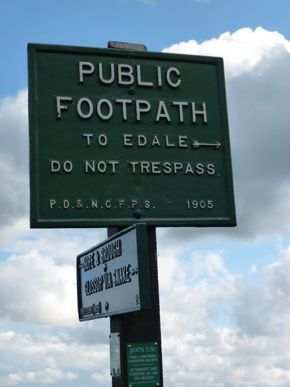
We took some beer out into the garden and sat with the most handsome man on his own who turned out to be Steven, who we were meeting. Gradually the party assembled around our table. Woodsmoke‘s Land Rover no. 2 was being repaired and so this meant that we had to wait for some late people on the train. Eventually we set off, driving the car up the road to the front of a farmhouse, off the road, where we were leaving it for the weekend. Then all 10 or so of us loaded our bags onto the Land Rover which went off and we set off for our 10-15 minute walk along the track to the woods. 10 minutes was more like 35 and when I looked on the map it’s over 2 km which even at 4 kph would be 24 minutes minimum so I felt Steven was a bit inaccurate with his measuring.
By the time we reached camp it was completely dark and really really dark as in the deep forest, well deep enough. The first job was to collect our bags and pitch our tents – “anywhere you like, plenty of flat and dry areas”. So off we toddled, having rooted out our head lamps, and gathered all our bags. We had not gone particularly lightweight owing to the promise of the Land Rover for the kit, however it might have been more sensible if we had as we now had to clamber across broken trees and a stream in the dark. We found somewhere flat but covered in branches, and then somewhere flat but soft and mossy so that’s where we pitched.
It was my first time with the new ultra lightweight tent, and I tried to put it up with the pole in the wrong place, fortunately Chris could see straight away what was wrong and helped me get it right.
We went back up the hill to the parachute which was strung up and provided a large dry circular area with seating and a fire for gathering round. We got the introduction talk which was mainly common sense and hygiene which is fine by me, we were a group of 13, with Chris the only girl, although I got added to her and we became a plural! Our leaders were Steven who lives in Edinburgh, John the apprentice and Willow, a Dutch woman who lives on a smallholding in Scotland. Then we got a tour of the camp, the hand washing area, the pot washing area, the badger bin, the bog box (loo roll box as signal that loo was occupied), the kitchen, and finally the latrine. By this time, I was a bit rattled and panicked as it had been quite a challenge putting the tents up in the dark and so I promptly made use of the latrine, someone had to start it off!
We then had some soup and bread and went to bed.
I slept quite well as the bed was pretty comfy and warm and then it started raining….
[googlemaps https://maps.google.com/maps?f=q&source=s_q&hl=en&geocode=&q=Far+Sawrey+-+Bowness-on-Windermere,+South+Lakeland+District,+United+Kingdom&aq=0&oq=far+sa&sll=53.350961,-1.769571&sspn=0.017957,0.052314&t=p&ie=UTF8&hq=&hnear=Far+Sawrey+-+Bowness-on-Windermere&ll=54.353505,-2.931805&spn=0.015006,0.025749&z=14&output=embed&w=300&h=300]
Saturday 3rd September
I woke to the sound of Chris gently snoring, her alarm and the torrential patter of rain. We got all the anti wet gear on and located the breakfast. You could have Alpen type muesli, Weetabix and corn flakes; tinned fruit salad or tinned pears and that was about it. I went for muesli and fruit salad. Then over to the parachute for tea, coffee or fruit tea. The coffee was instant and horrid but necessary. I didn’t want a coffee cold turkey headache.
Class started promptly at 9 and Steven, even more gorgeous in the daylight, introduced us to saws, knives and bevels. After a session of this, we went off armed with folding saws, to cut down saplings. We also did a bit of mushroom identification. This warmed us up although the rain showed no sign whatsoever of ceasing its torrent.
Steven showed us how to cut a piece of green wood with the knife and then how to cut a notch and a bevel and a spike to create a pot holder. This was very satisfying.
Willow had also brought back some alder that she had cut down, for us to use to make a butter knife. This was much harder and was a project we returned to in quiet moments and interludes, and for myself, made absolutely no improvement, but some really picked it up quickly and made some very acceptable shapes e.g. a fish, a whale.
Our companions were, Joe, Gez, Simon, Rich, Hugo, Ashley, Matt, Bruce, Andrew, Andy and the one I can’t remember who reminded me of Andy our builder.
By the time we’d done all this, it was lunchtime, actually I can’t really remember. Lunch was bread rolls with various nice fillings and salad and dressings, this was not bad at all.
Maybe the carving bit was after lunch. At some point we got a bit chilled in the wet again so off we went armed with saws, this time to cut a piece of standing dead wood.
Dragged this back to camp and this we used to make feather sticks, as demonstrated most expertly by Willow. Then over to us, and boy was this difficult.
Steven gave us a short lecture about shelters as the rain meant we weren’t going to get one made, he mentioned knocking up a loom in an hour and using soft rush to weave a mat in just another half hour. We didn’t try this but double all his timings!
Next, Steven showed us how to prepare a trout and pin it so that it would cook over our fire. Also gave us a fire laying lesson. We split into 2 teams for this, our boys all tried to be bossy all at once which was quite funny. Chris and I let them play with fire and she and I made split sticks and prongs from the green wood, to poke the fish onto for cooking.
I had never filleted a fish before so this was a new experience for me and not as bad as I had imagined. We got the trout cooking, boiled up rice in billy cans held over the fire on our pot holders and were given some sweet potato mash and onions roasted in the fire. That fish was gorgeous, best I’ve had since Chris and I did mackerel on the cliffs above Combe Martin with Mandy in the dark many moons ago. During the cooking, the rain eased and finally stopped.
Chris and I had been a little anxious about the huge foot deep depressions we each had next to our tents. These had completely filled with water during the deluge. They now started to go down a bit.
I don’t really remember what we did after supper, a bit of chat. Willow was going to read us a bit from Jack London but it didn’t happen as the conversation went elsewhere.
They brought us cake at 9 o’clock and we had thought it would be nice cake but it was like the biscuits, cheap and cheerful but actually cheap and a bit depressing.
 |
| Fire gang |
 |
| Fishy on a sticky |
Sunday 4th September
I slept really well especially as the rain had stopped so I wasn’t fretting it was going to come in through the big pool.
Same old breakfast.
Off promptly for a walk, great as it was a lovely day. Down to the boat house where Woodsmoke keep some of their kit including some ancient snow shoes and saws etc.
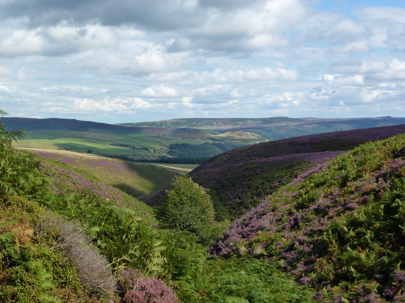
We passed Three Dubs tarn next to the camp, and also Moss Eccles tarn which has a Beatrix Potter connection. A bit more plant identification and then we sat on a little hill and Steven gave us a lecture on water. Good information, all really useful. He is a very knowledgeable young man as well as easy on the eye.
Then back to camp and rolls again for lunch.
A bit on sharpening our knives and how to make sharpening boards which are easier to carry.
Our last activity was to attempt to make fire. Steven gave us a cracking demonstration but even he was panting afterwards and he is incredibly fit. Some of the others did manage it but Chris and I took quite a while to get the bow and spindle to make an ember. We managed to make a pile of dust which could quite feasibly have turned into an ember had we longer to practice. We were slightly hampered by giggles.
Then we got our bags into the Land Rover and travelled in it down to the bottom of the track with John.
Chris and I did a bit of pfaffing with our gear and then the boys turned up on foot and we said our goodbyes and got kissed by some of them.
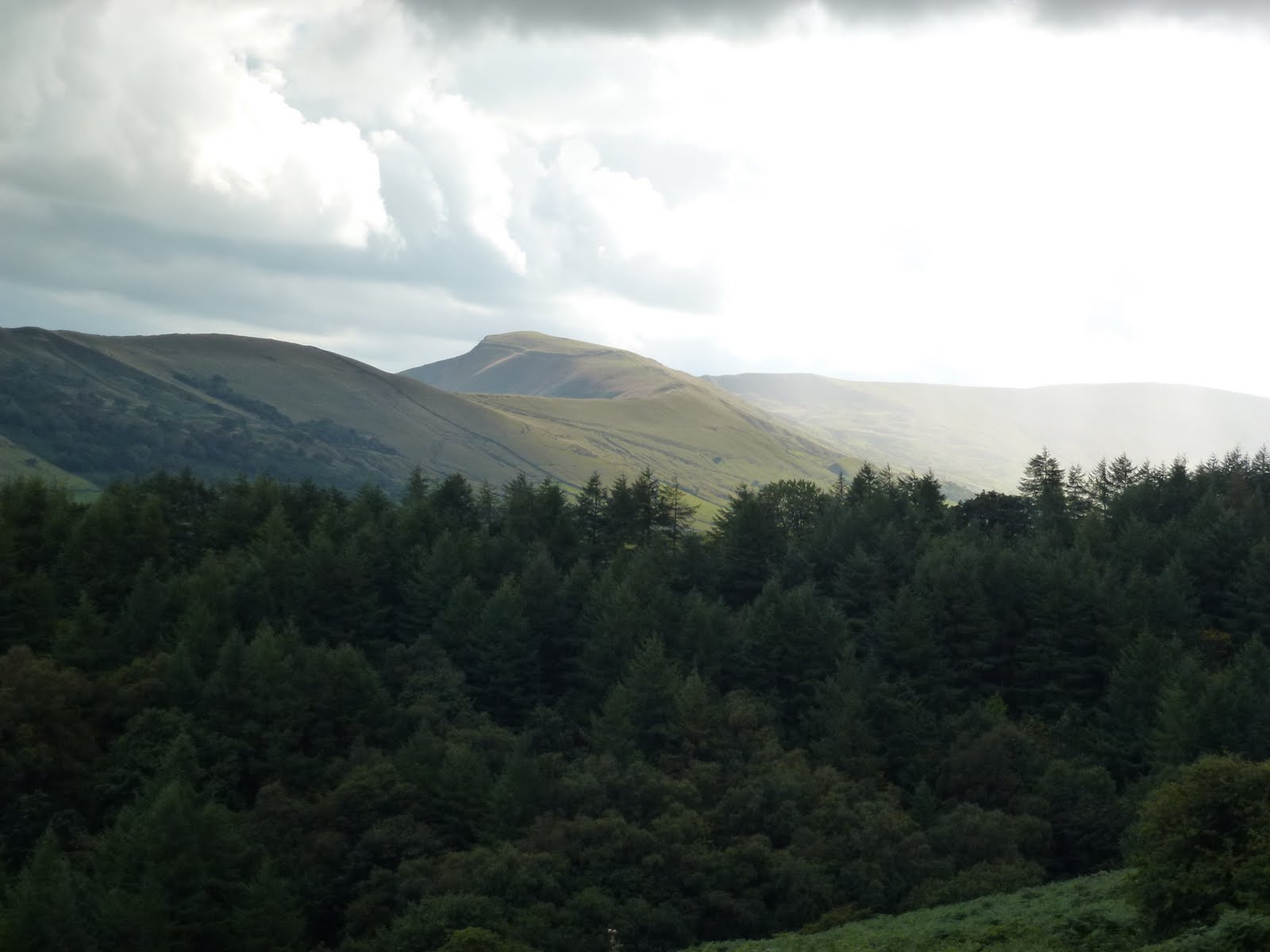
We drove to Grizedale visitor centre, used the lovely loos with hot water and soap, and then walked up Carron Crag (one of Wainwright’s outlying fells) from where we had great views all round.
Back down and parked up in the National Trust car park for Beatrix Potter’s house in Near Sawrey. We had roast beef dinners in the Tower Bank Arms which were huge! And beer.
Then back to the car park at the bottom of the track and a walk that took at least 35 if not 40 minutes mostly in the dark back to camp. We even took a wrong turning right at last bit and ended up back by the boat house.
We said hello to the next lot of people who were staying for a week and then into the tents. The rain had started up again but we managed a drop of whisky each.
 |
| Three Dubs Tarn |
 |
| Steven the Woodsman |
 |
| Chris and boat house |

 |
| Cloud inversion |
 |
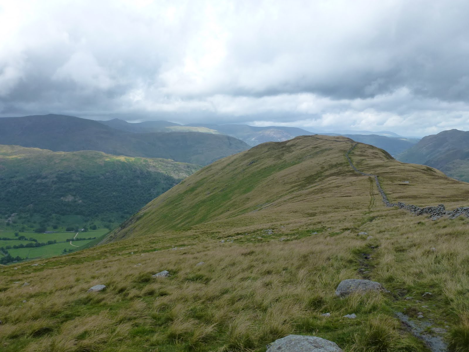
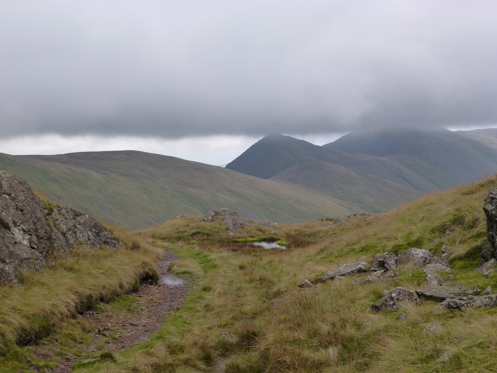
| Pike o’Stickle |

 |
| Do Not Eat |


[googlemaps https://maps.google.com/maps?f=q&source=s_q&hl=en&geocode=&q=Grizedale+Forest,+Grizedale,+United+Kingdom&aq=1&oq=grize&sll=54.350479,-2.949743&sspn=0.017534,0.052314&t=p&ie=UTF8&hq=Grizedale+Forest,+Grizedale,+United+Kingdom&ll=54.340673,-3.023257&spn=0.007505,0.012875&z=15&iwloc=A&output=embed&w=300&h=300]
Monday 5th September
I thought I would sleep well but neither of us did. I was too hot, then everything felt clammy and damp with the excessive amounts of rain. None came in just it was all around.
We packed up the tents, said goodbye to some of the newcomers and headed off loaded up back down the track. We ate flapjack and chocolate in the car. The rain was stop start so we went to Hawkshead and had bacon, Cumberland sausage and beans and toast and not very good coffee.
Then back to Near Sawrey and a tour round Beatrix Potter’s house which was lovely. As well as having a cup saying “A gift from Hastings” she also had netsuke, even a hare with amber eyes. The house was surprisingly small. We took our anoraks off so as not to give the army of volunteers more work to do, they were drying off people’s coats somewhat ineffectively with a tea towel. I didn’t check to see if it had bunnies on it.
Then we went to Ambleside and did a tour of outdoor kit shops, just for a change. We went to a coffee shop where I had had nice coffee before but today it was too weak. I took my watch to the jewellers to fit a new battery. I returned 10 mins later than the time he had said and he said he needed another 10 mins. I went back for it after lunch, all well and good but this same man had done the same thing when he took a link out for me back in March, perhaps poor timing is endemic in this part of the world? We lunched in Dodd’s Restaurant which was very good Italian fare. Mine was a bit more soup like than Chris’ – she had opted not to have the wild mushrooms. Can’t think why as now we know which ones we can eat!!
Back home, we both thought we would sleep well after the not sleeping. I dreamt that an atom bomb had gone off over Bristol and that I had to find a source of water…
Please visit Map and Compass and learn how to interpret a map with me and my navigation partner, Cath.