Blog

Hartsop Dodd

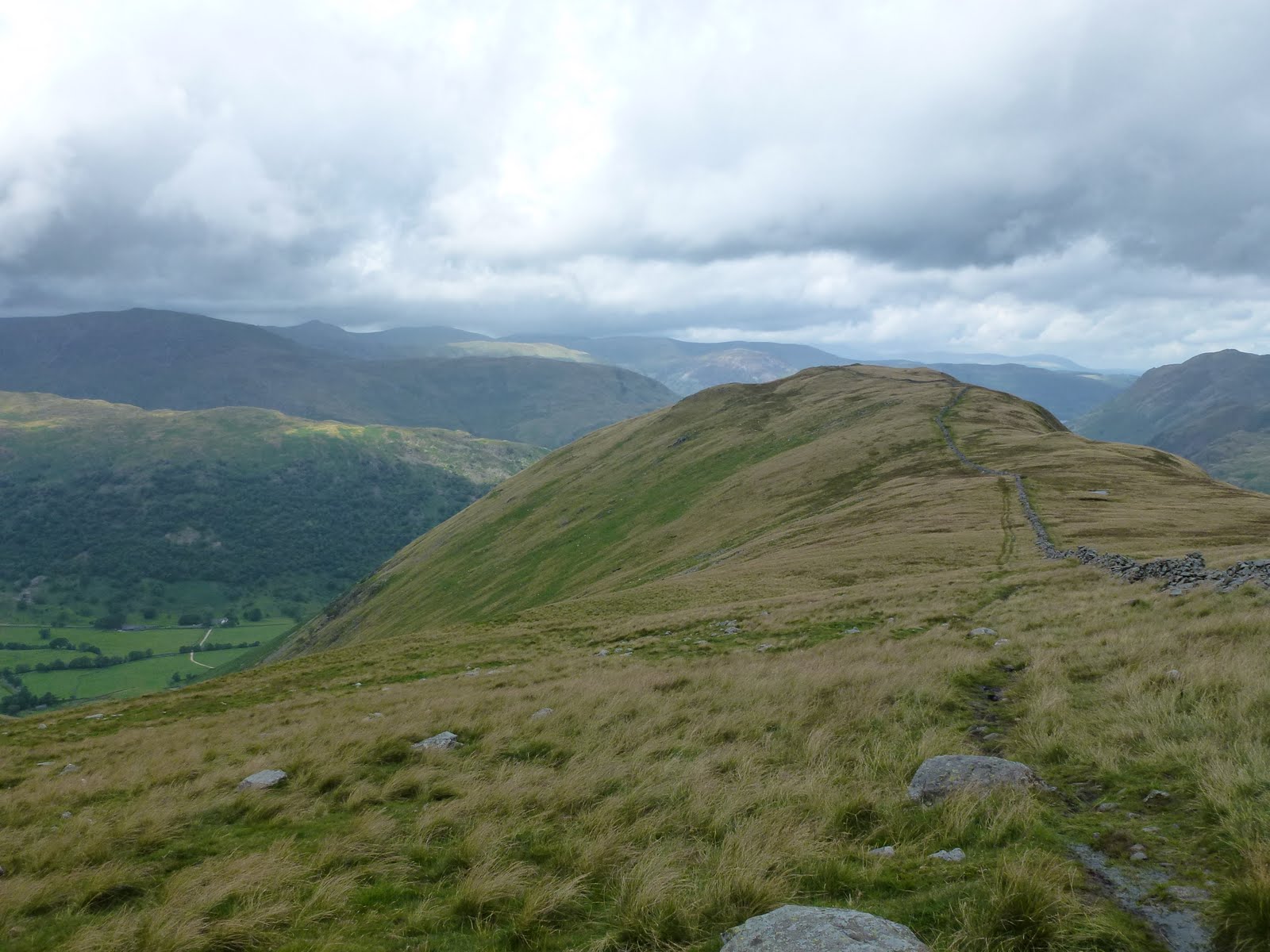
A leisurely start to the day including coffee at Lancaster services where I also bought a sandwich and a packet of crisps in M&S. I’d spotted Hartsop Dodd a couple of weeks ago and it took my fancy. I knew it would be steep straight away and it was a stiff climb. I took a breather after about a 100m of climbing for a call of nature whereupon I piddled all over my camera case. Considering it was holding my new camera, you will be glad to know that the case is waterproof! I’ve now washed it and will be giving it a squirt of Nikwax!
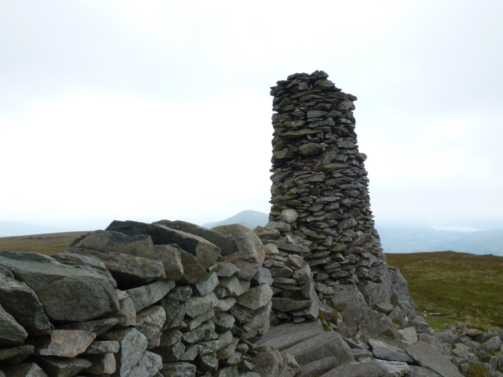
It took about an hour to get to the top of the Dodd so I stopped and had half my lunch. I wanted a longer walk so decided to carry on up to Stony Cove Pike (also known as Caudale Moor). I could see over to Thornthwaite Crag beacon which soon became obscured by mist. Although the mist loomed all day, I managed to miss it all which was great as I didn’t have to keep changing clothes. However one of my objectives was to have to navigate in mist but hey ho you can’t win ’em all!
The drop from Stony Cove down to Threshthwaite col is very steep indeed and basically 100m of scrambling which was great fun. I stopped at the bottom of the scramble and had the rest of my lunch.
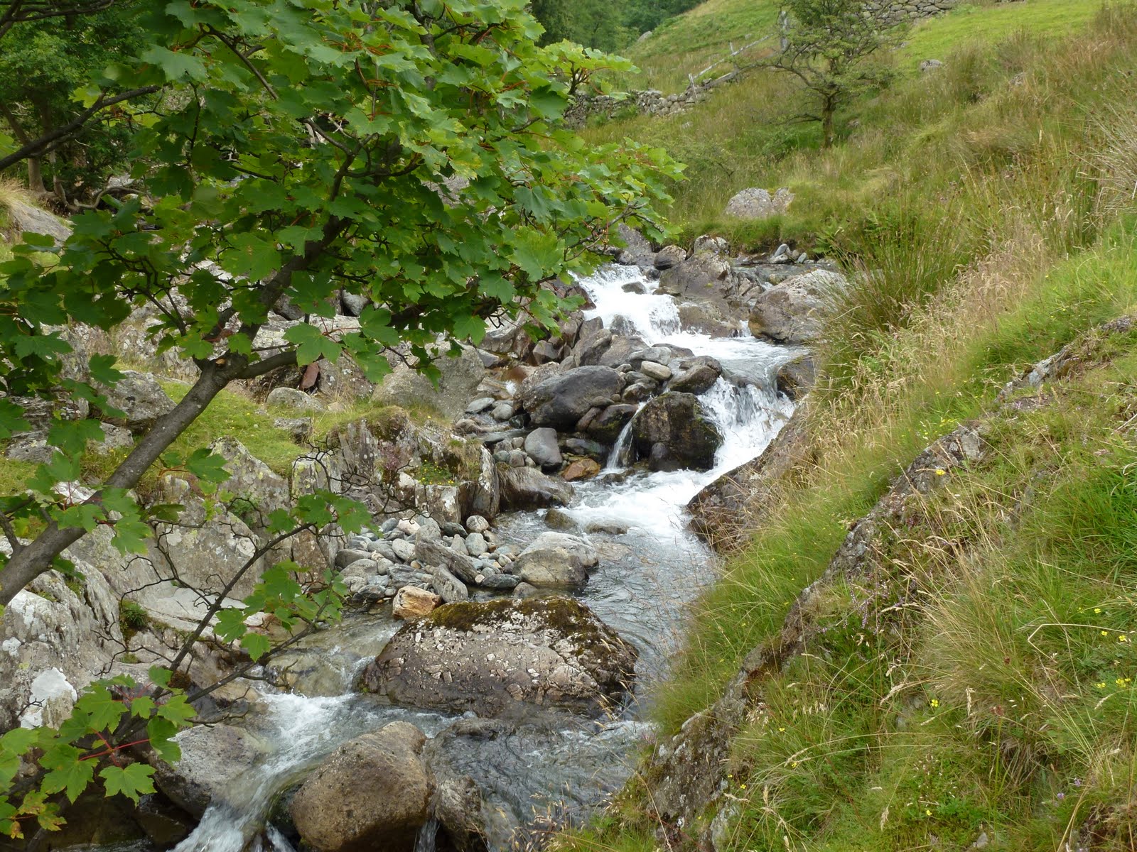
Then it was down via Pasture Beck all the way back to the car. The path was much wetter than a fortnight back, more like a stream most of the way.
Good weather, good climb, good scramble descent, lovely.

Hartsop Dodd
Looking back
On top of the Dodd
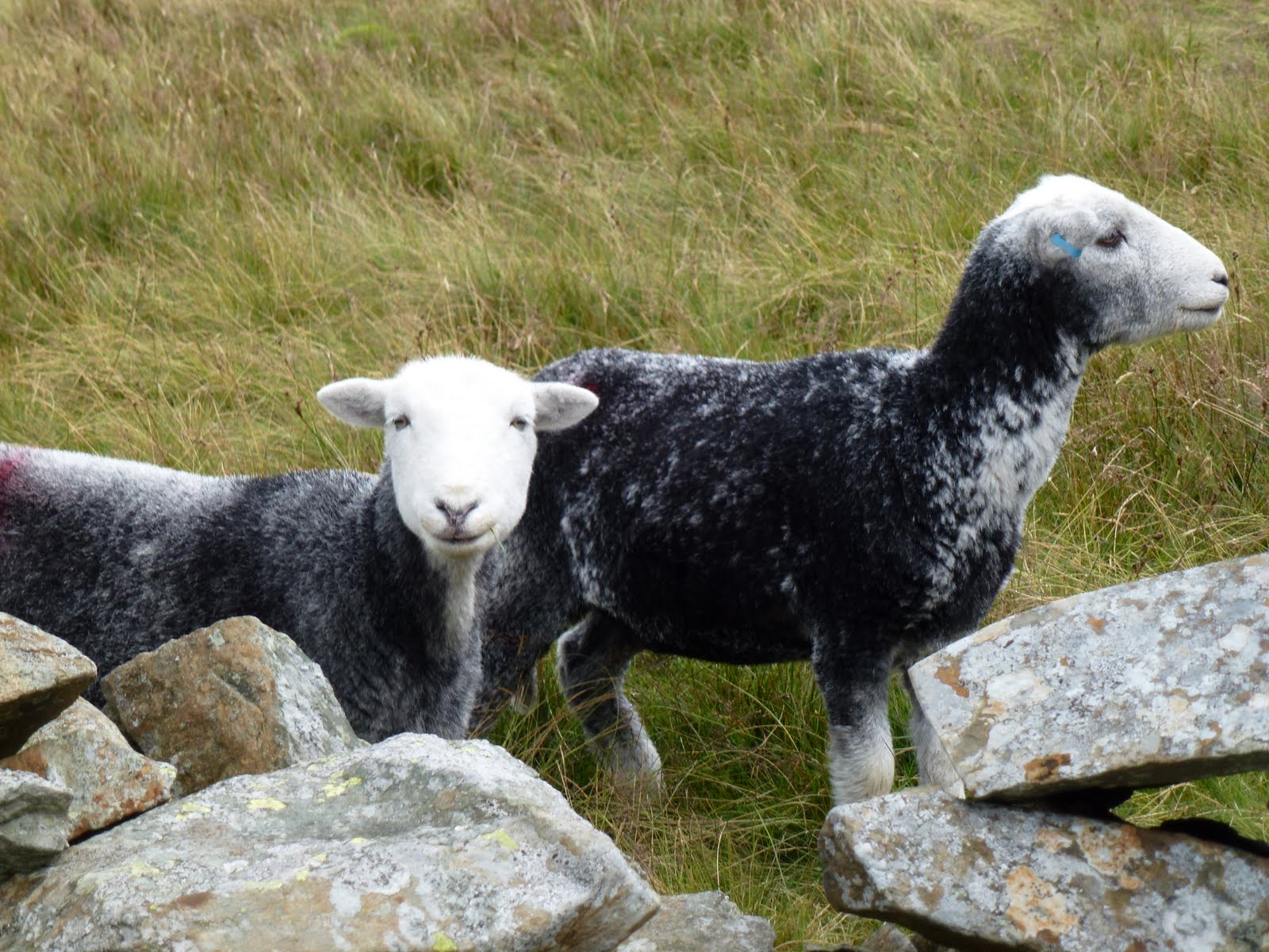
Herdwick sheep
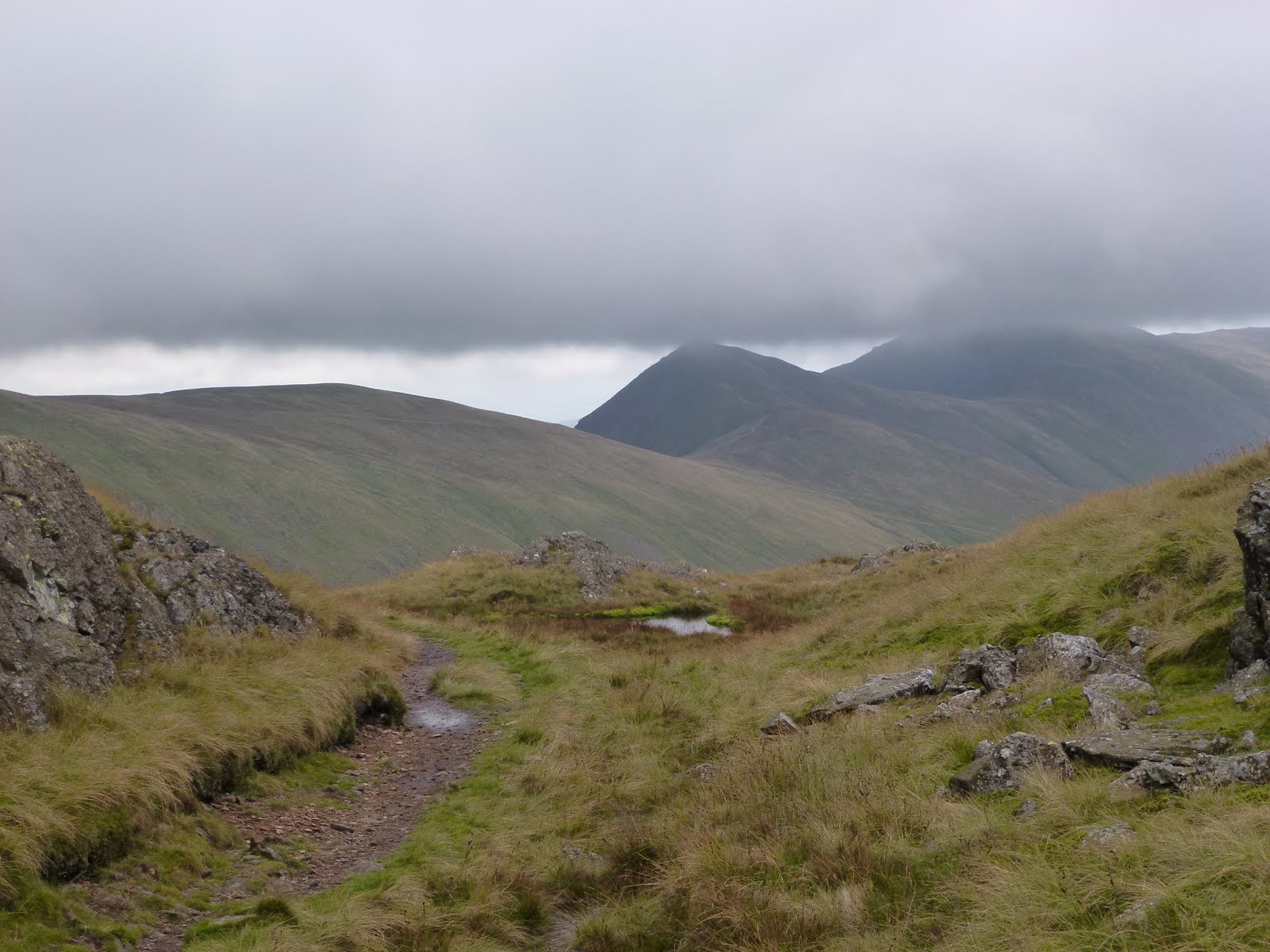
Lowering clouds
Nearly back
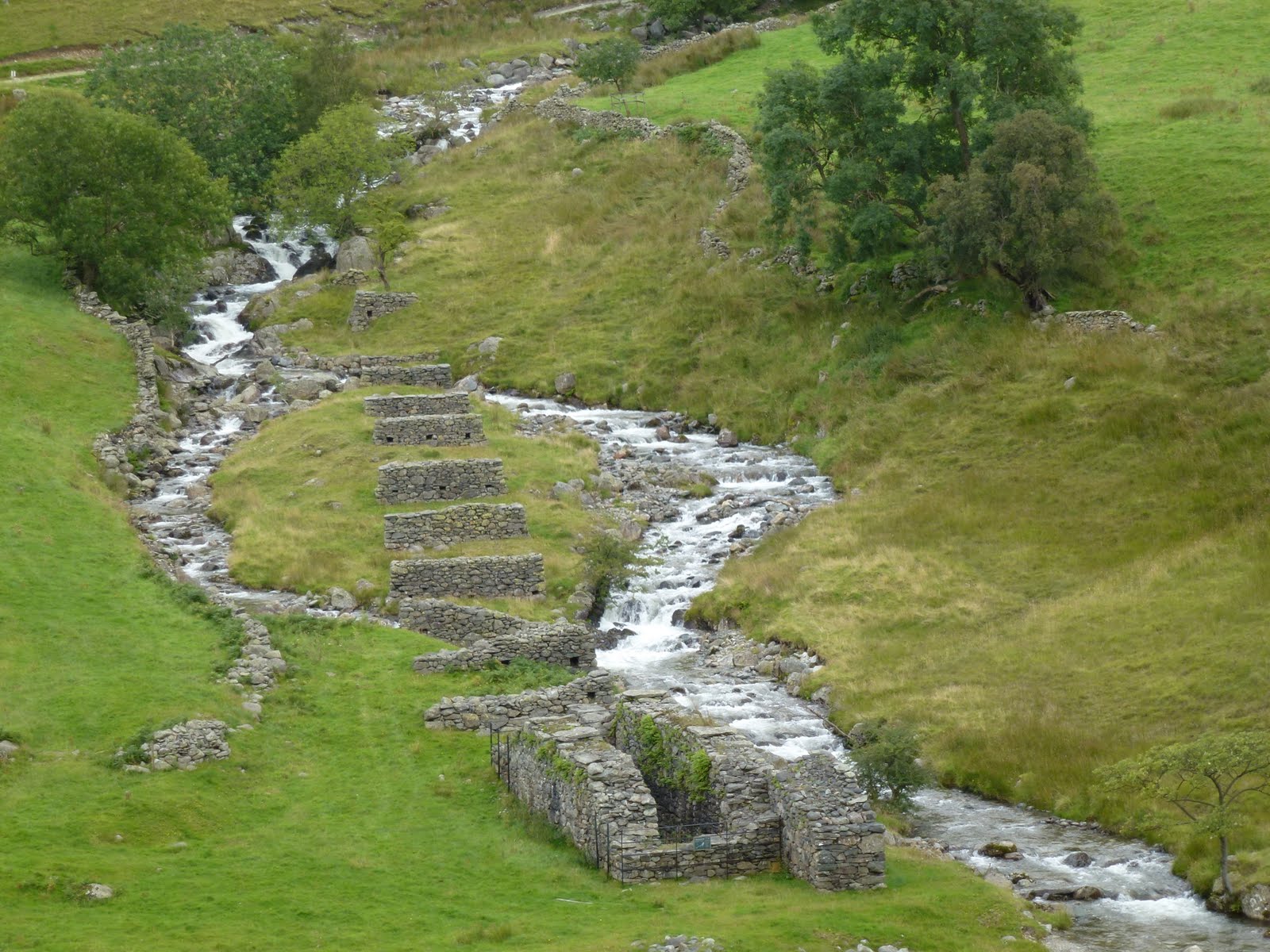
Not sure what these are for

[googlemaps https://maps.google.com/maps?f=q&source=s_q&hl=en&geocode=&q=Hartsop,+United+Kingdom&aq=0&oq=hartsop&sll=53.793463,-2.063957&sspn=0.018151,0.060339&t=p&ie=UTF8&hq=&hnear=Hartsop,+Cumbria,+United+Kingdom&ll=54.509772,-2.913351&spn=0.014949,0.025749&z=14&iwloc=A&output=embed&w=300&h=300]

Please visit Map and Compass and learn how to interpret a map with me and my navigation partner, Cath.

Walshaw Dean Lower and Middle

This should have been a weekend wild camping in the Lakes but the forecast was so dire we decided to just aim for a long walk instead. Yesterday morning waking to an enormous clap of thunder we had clearly made the right decision about camping. So we did household jobs and aimed for today. Today we woke to a big lot of rain. Whilst waiting for it to stop raining (mid afternoon) I amused myself by not fixing a computer and getting very cross with it. I don’t like to be beaten.
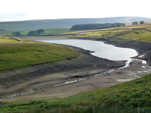
Eventually we got out and drove up to Widdop in lovely clear early evening sun. Everything crisp and clean after the rain. We walked to the parapet between Middle and Lower Walshaw Dean reservoirs and then came back. Although we were only out for a couple of hours it was a lovely walk.
I tried out my new to me Mountain King Trail Blaze walking poles. I bought these on eBay for £29 (they retail at £70). They are as good as new and fine once you get used to them. They are really really light, and fold up like a tent pole. I didn’t particularly need them for this walk, this was just a road test. They feel a bit flimsy at first but actually are strong. The tautening mechanism almost floored me but finally I worked it out. I’ll probably mainly use them when I’m very keen to keep the weight down, pleased with my bargain.

Walshaw Dean Lower reservoir
Walshaw Dean Middle reservoir

[googlemaps https://maps.google.com/maps?f=q&source=s_q&hl=en&geocode=&q=Walshaw+Dean+Lower+Reservoir,+Wadsworth,+Calderdale+District,+United+Kingdom&aq=1&oq=walshaw+dean&sll=54.509782,-2.91331&sspn=0.017839,0.060339&t=p&ie=UTF8&hq=&hnear=Walshaw+Dean+Lower+Reservoir&ll=53.793452,-2.063971&spn=0.01521,0.025749&z=14&iwloc=A&output=embed&w=300&h=300]

Please visit Map and Compass and learn how to interpret a map with me and my navigation partner, Cath.

Thornthwaite Crag and Gray Crag

I set off somewhat later than planned and only arrived at the free (honesty box for donations to the school) car park in Hartsop at 11.45. Only 2 and a quarter hours to get to the centre of the Lakes with no stopping for coffee. The walk along Pasture Beck is a good warm up, and pretty to boot, just contouring along the valley. At the head there is a bit of a climb and then it’s a short section of scree from the shoulder with Stoney Cove Pike. That’s the one that Wainwright refers to as Caudale Moor which is just annoying as the Pike is a perfectly good name and is the summit. This time I headed east up to Thornthwaite Crag which has a great beacon to mark it. This looks a bit like some of the ones I saw over in the Dales. I wondered if it’s connected with the Roman road. I also wondered if you can get a Roman map of the Lake District as they must have made some.
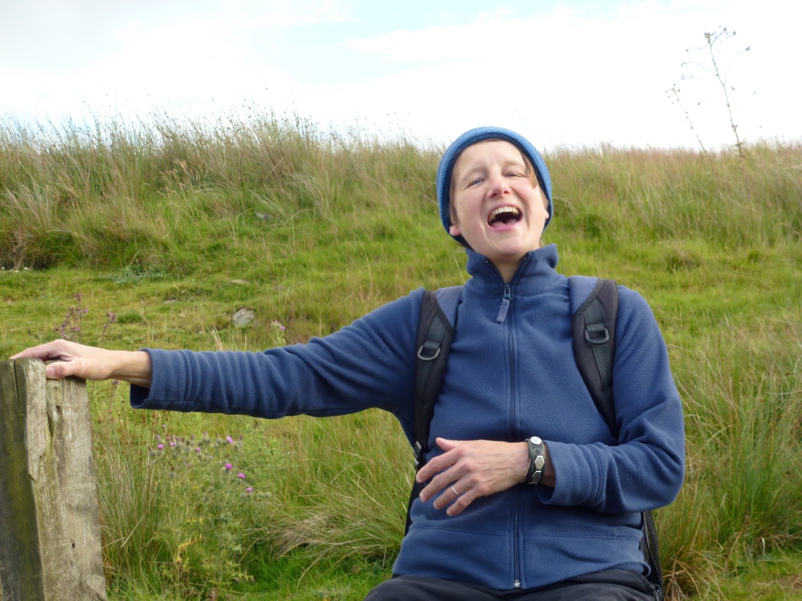
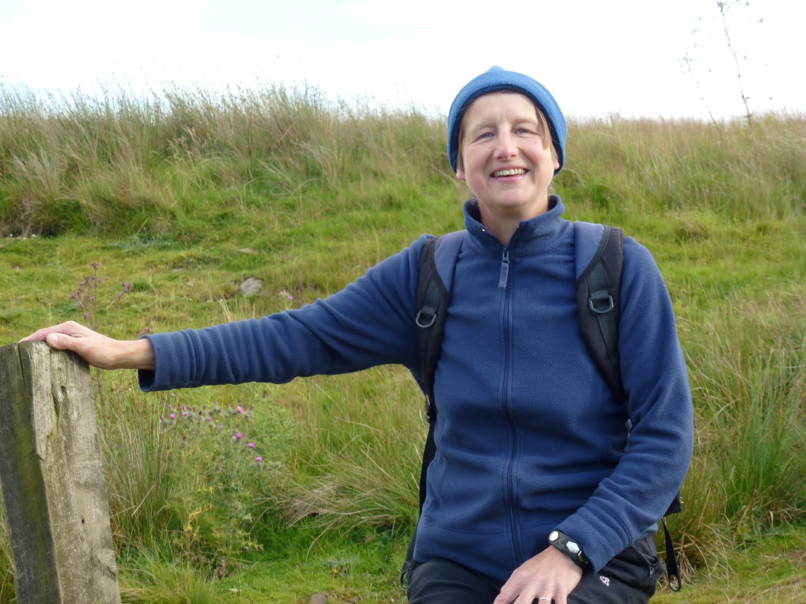
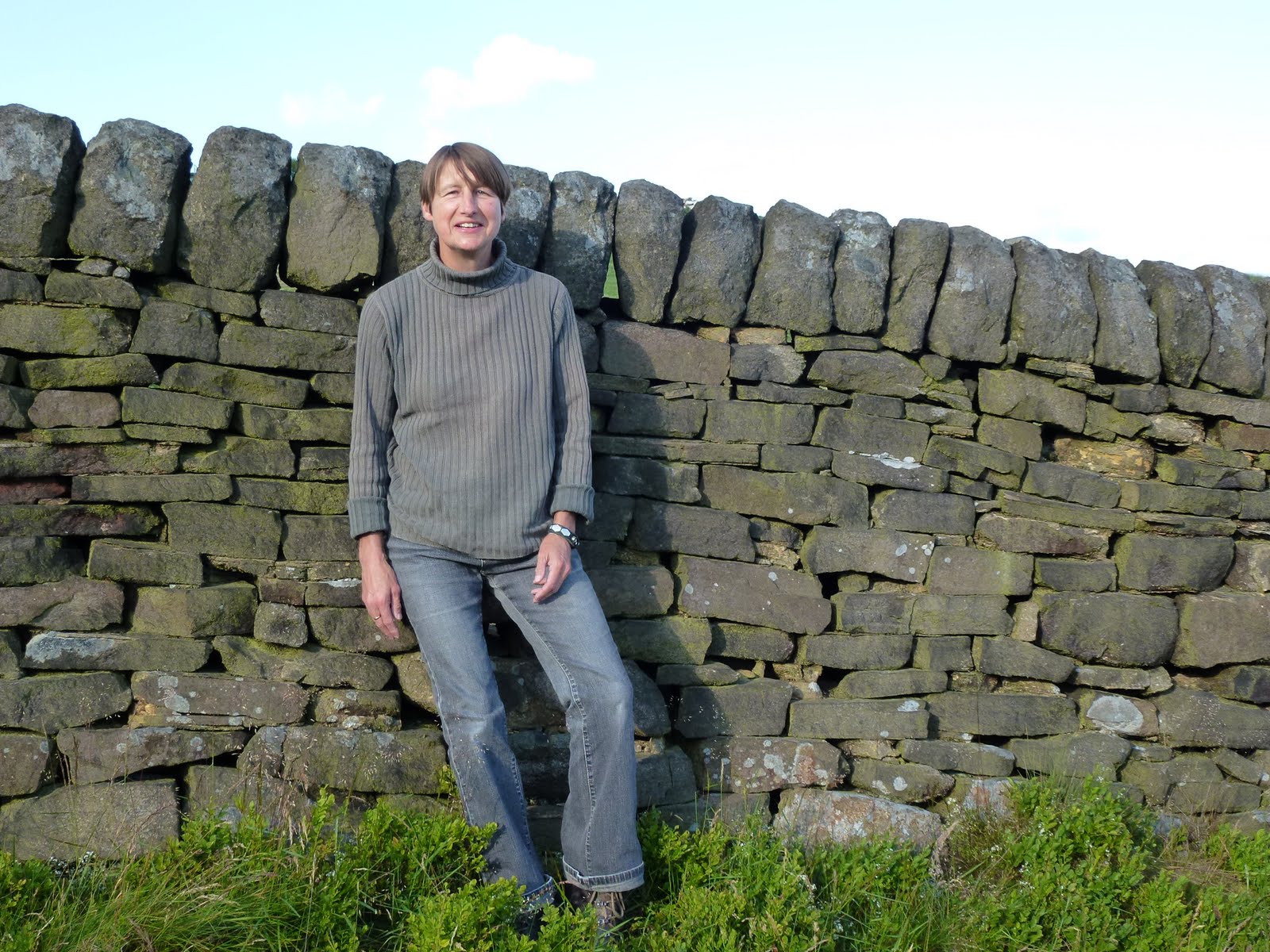
I chatted with some fellas and one of them took my photo on my camera so for once on a solo expedition there is a picture of me but even though I showed him the zoom control and he claimed to be a photographer, his efforts are fairly rubbish.
I could have whizzed up to High Street and back down that way but although I’m fond of it, I opted to bag another Wainwright and come down Gray Crag. This was a long, broad ridge and even though the map had a path that just stopped, I decided to go for it anyway as AW had said it was possible. There were signs that it was a maintained path, just a narrow one and the path did exist for real on the ground.
The weather was good, a bit of sun, a bit of cloud, a bit of wind and a bit of cool on the top.
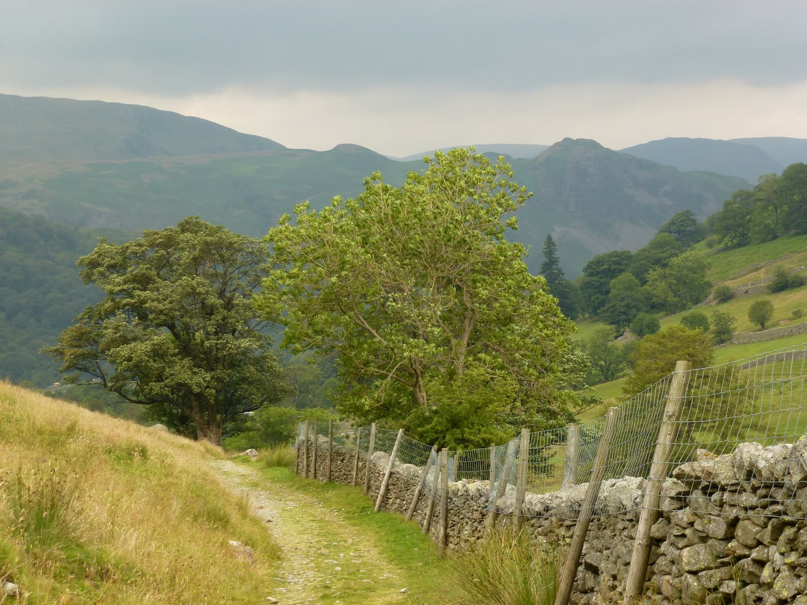
Looking back towards Hartsop
Beacon on top of Thornthwaite Crag
Bloody useless photographer!
Hayeswater and my boots
Descent to Hartsop
Hayeswater Gill
My horseshoe

[googlemaps https://maps.google.com/maps?f=q&source=s_q&hl=en&geocode=&q=Hartsop,+United+Kingdom&aq=0&oq=hartsop&sll=53.66049,-2.04408&sspn=0.018208,0.060339&t=p&ie=UTF8&hq=&hnear=Hartsop,+Cumbria,+United+Kingdom&ll=54.509772,-2.913351&spn=0.014949,0.025749&z=14&iwloc=A&output=embed&w=300&h=300]

Please visit Map and Compass and learn how to interpret a map with me and my navigation partner, Cath.
Blackstone Edge 17th July

No photos at all because truly horrible weather. After some nagging and a bit of Jak moaning, Babs, Cath, Cath and I all met up at Babs’ house. I passed through driving rain and dense fog on my 20 minute drive which unfortunately was in the area where we were due to walk. The valley was a little better but not much. So we drank Babs’ coffee and tea and then took the quick drive to the start of the walk just below the White House on Blackstone Edge. A lot of pfaffing whilst we togged up, getting quite wet just putting the anti wet gear on. Eventually set off into the horizontal wet. We did a quick change of route to go a bit lower and shorter as it was so vile, we managed to do a few kilometres and then lunched standing up. Cath D had already made her roll disappear but then did the same trick with a Kabanos, or should that be kabanos? Cath B had some ciabatta and an apple. Babs had a fancy combination which I’ve forgotten but about 4 ingredients and Cath D also produced a beef and horseradish roll whilst I had 2 nan breads with beef and cheap, sweet, yellow mustard. I also finished off last night’s apple and raspberry pie and had 2 bits of malt loaf. Then we took the quick route back to Babs’ house. Babs drove me back up to my car and then we all sat around in Babs’ house drinking tea and eating digestive biscuits etc. We listened to Robert playing the piano and generally had a great time talking technology and walking….
Thanks guys!

[googlemaps https://maps.google.com/maps?f=q&source=s_q&hl=en&geocode=&q=Blackstone+Edge+Reservoir,+Littleborough,+United+Kingdom&aq=2&oq=blackstone+edge&sll=53.703049,-2.000476&sspn=0.01819,0.060339&t=p&ie=UTF8&hq=&hnear=Blackstone+Edge+Reservoir&ll=53.660509,-2.044058&spn=0.015258,0.025749&z=14&iwloc=A&output=embed&w=300&h=300]

Please visit Map and Compass and learn how to interpret a map with me and my navigation partner, Cath.

Cragg Vale 9th July 2011

Carol and I went for a very short evening walk before dining at the Hinchliffe which has a new chef and a new, more expensive menu. They had some some desserts which included caramelised fennel and one with black pepper so I just had a bit of ice cream whilst realising that I’m quite conventional. I started thinking I almost prefer their sister outfit Aux Delices in Mytholmroyd, especially as the chef from the now defunct Millbank works there.

We came across this fairly foolish young grouse, who seemed like he’d knocked a bit too much back. Made for some fun photos.

Green lane leading to the Hinchliffe
Dead casual
Less casual just squinting
Mine’s a double
Add caption

[googlemaps https://maps.google.com/maps?f=q&source=s_q&hl=en&geocode=&q=cragg+vale&aq=&sll=54.069208,-1.999407&sspn=0.036062,0.120678&t=p&ie=UTF8&hq=&hnear=Cragg+Vale,+United+Kingdom&ll=53.703058,-2.000456&spn=0.015243,0.025749&z=14&iwloc=A&output=embed&w=300&h=300]

Please visit Map and Compass and learn how to interpret a map with me and my navigation partner, Cath.
css.php