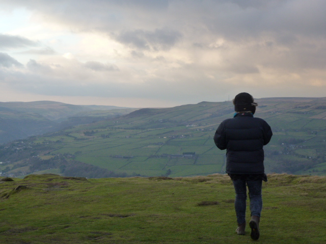
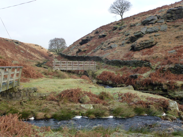
Cath and I met at the car park for the Walshaw Dean reservoirs. We had a great day planning how we are going to teach one day navigation courses on a nice walk. We walked to Top Withens and returned via White Hill and Horrodiddle.
The lower Walshaw Dean reservoir has been emptied and there were BT men doing things with poles. I thought they were putting them in but we later found they were taking them out.
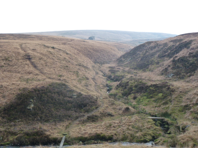
There are plenty of possible teaching points on this walk. We cleverly managed to miss our path just as we were talking about times when we’ve missed our path. You could not make it up! However because we do really know what we are doing, we were able to recover ourselves very quickly.
We met a keeper and this prompted us to consider how much we know about managing moorland habitats. There are several wide strips of cut heather in and amongst the grouse butts. The grouse butts have all been done up with decking. We also saw a fair bit of burnt heather and were able to work out that it was old burns. That said, a chunk of moor on my way home from Burnley on Wednesday was on fire on the road leading up to Blackstone Edge from Littleborough so it must be quite dry despite all the snow and snow melt.
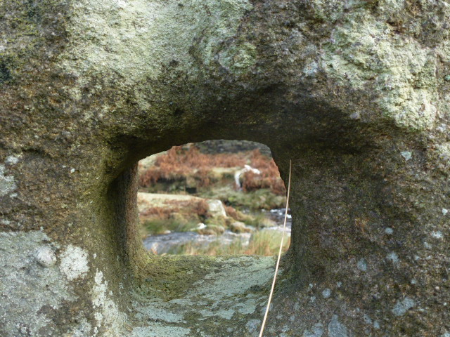
I set Cath a challenge to find a boundary stone which is hard to see and which I’d set myself the last time I walked this area. Cath was of course spot on. Memo: must make it harder next time!
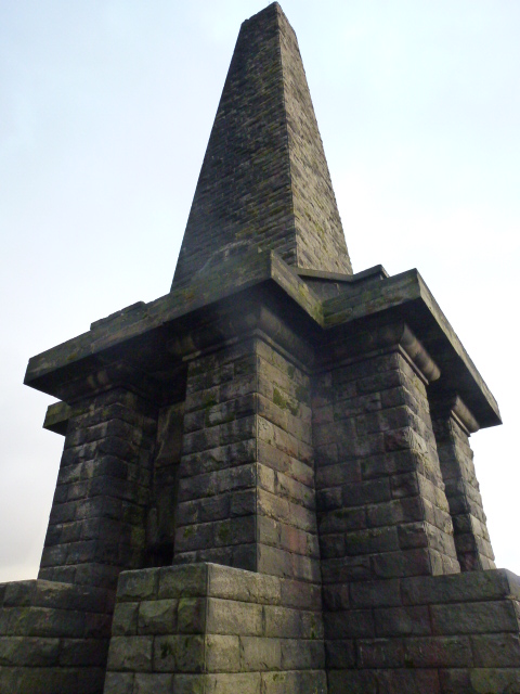
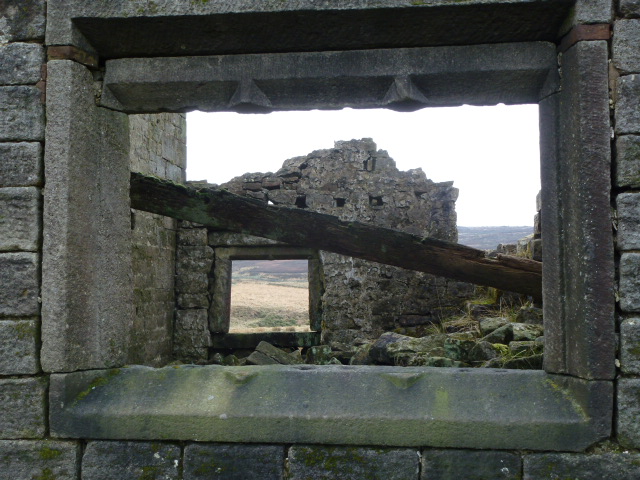
We lunched at Top Withens. This is an odd ruin with a plaque on it saying that it’s thought of as being Wuthering Heights but actually bears no resemblance to the description in the text. I subjected Cath to a short rendition of the Kate Bush song. But the best Wuthering Heights is this unforgettable semaphore version.
We took about 5 hours for the walk which was about 14 kilometres. The road that goes around from Hebden to Slack Top is still closed, and the diversion forces you through Heptonstall so we stopped on the way back and went to the really nice tea shop where we had some fab chocolate brownie and bought some goodies.


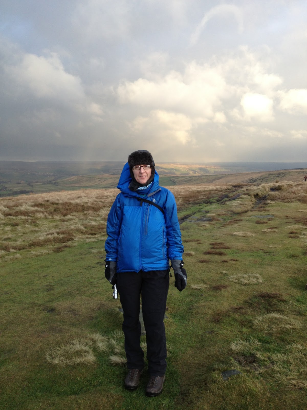
Please visit Map and Compass and learn how to interpret a map with me and my navigation partner, Cath.